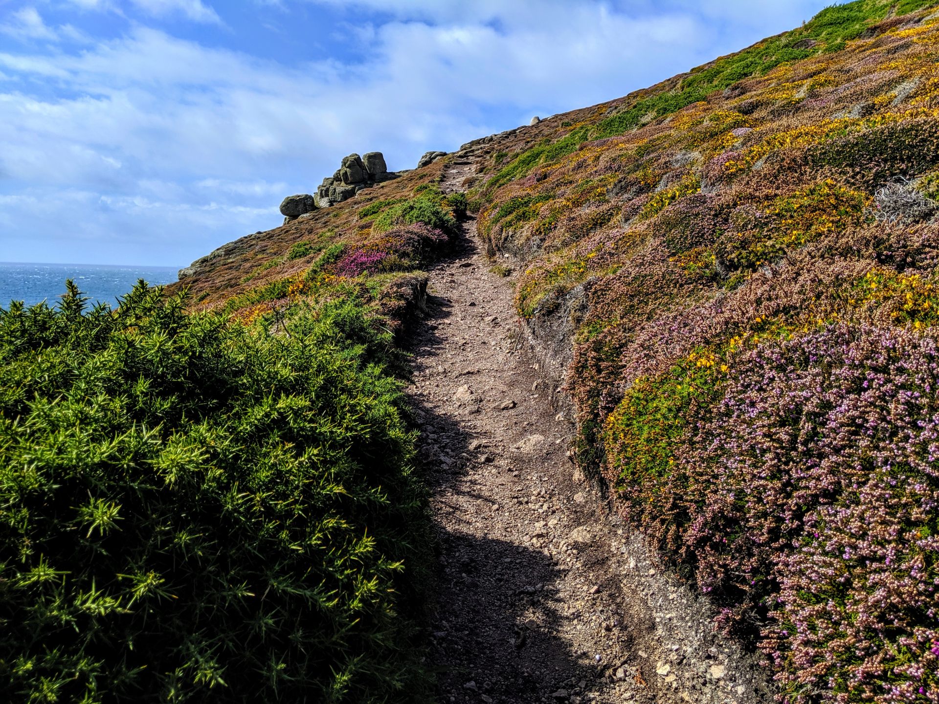
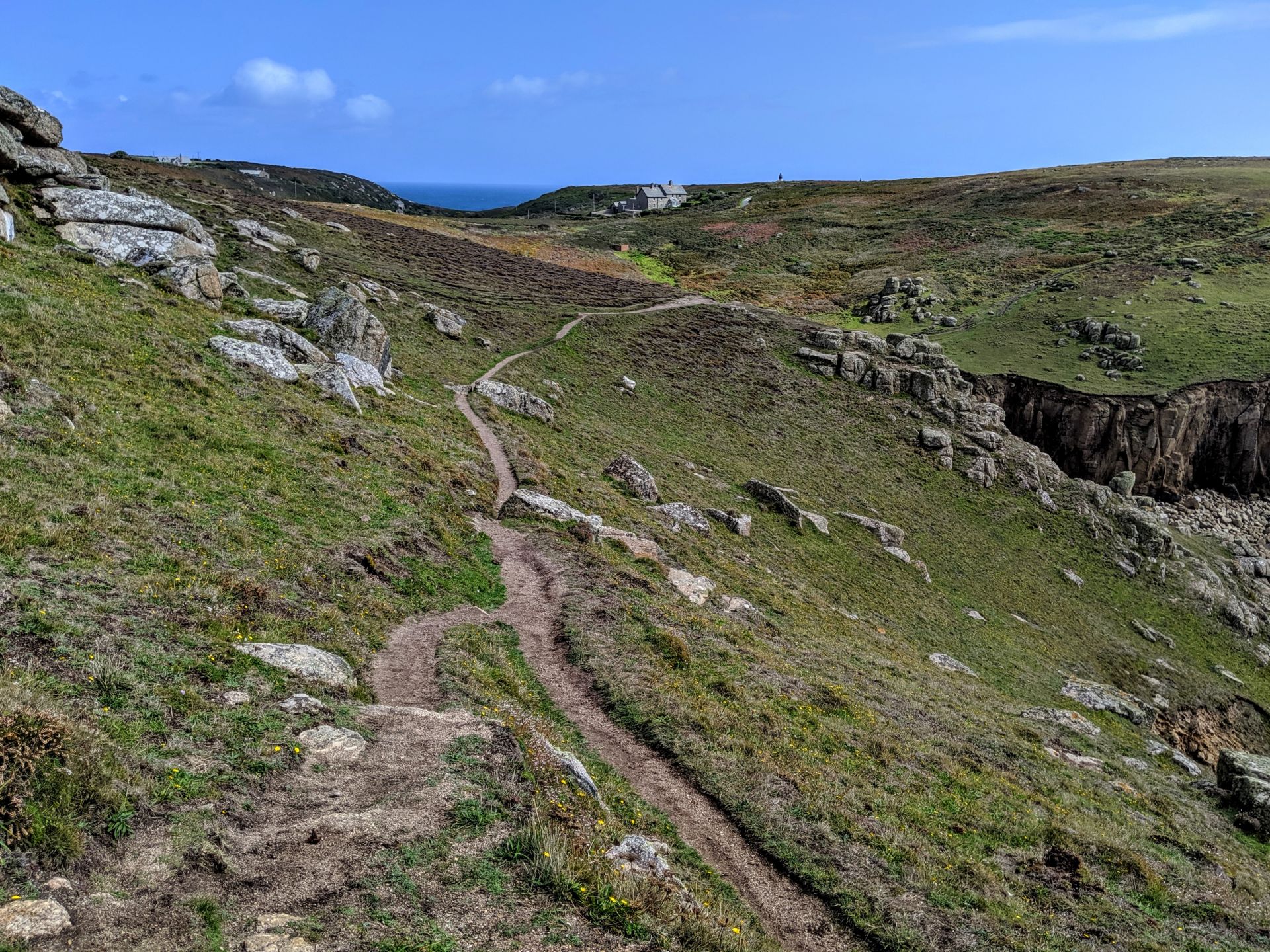
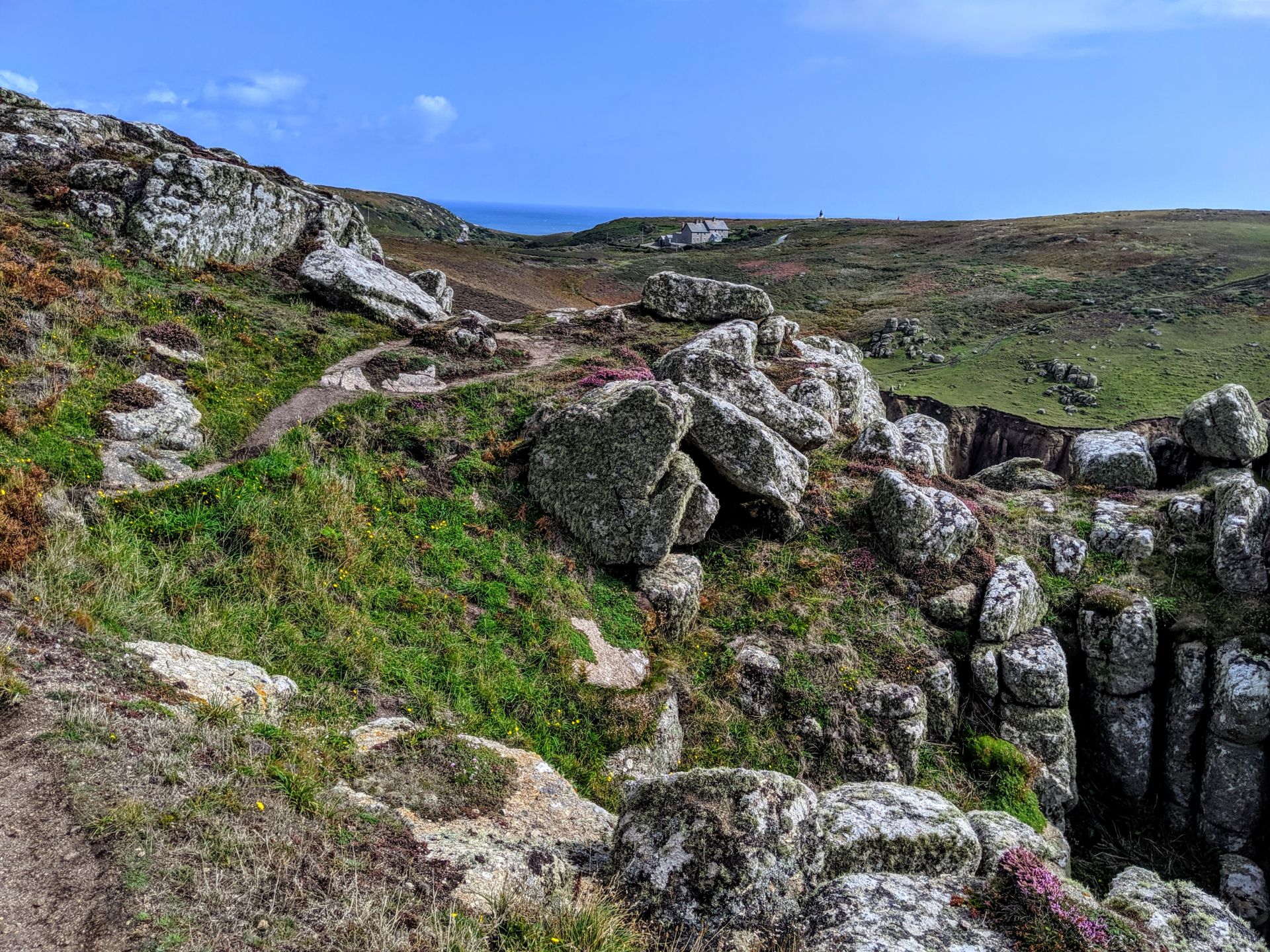
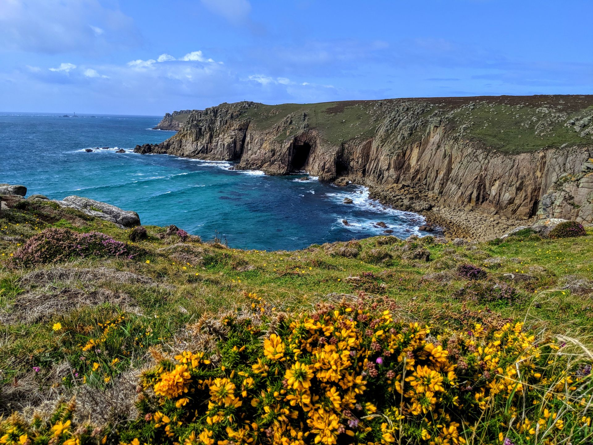
“Above all, do not lose your desire to walk. Every day I walk myself into a state of well-being and walk away from every illness. I have walked myself into my best thoughts, and I know of no thought so burdensome that one cannot walk away from it.” ~Søren Kierkegaard
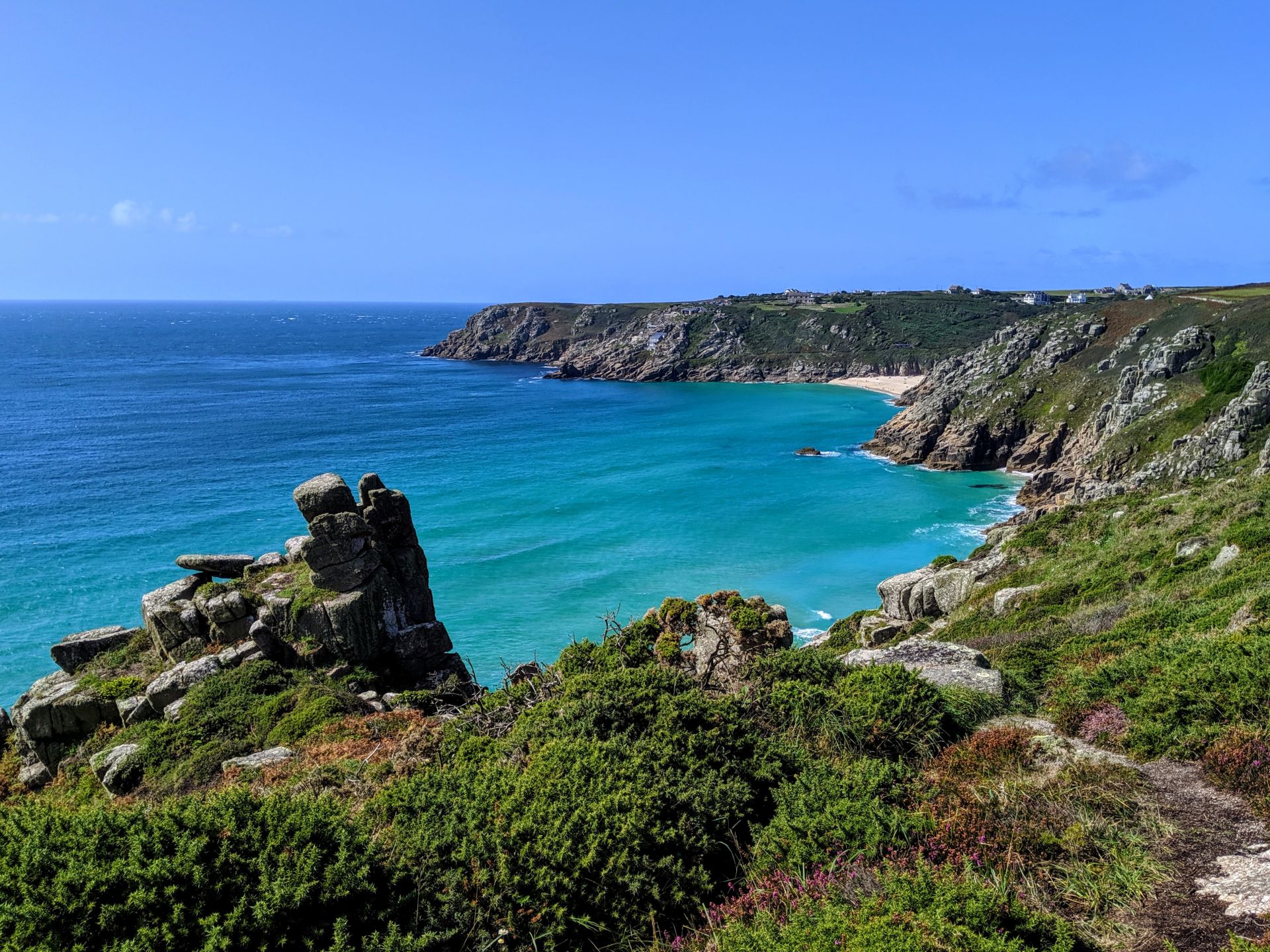
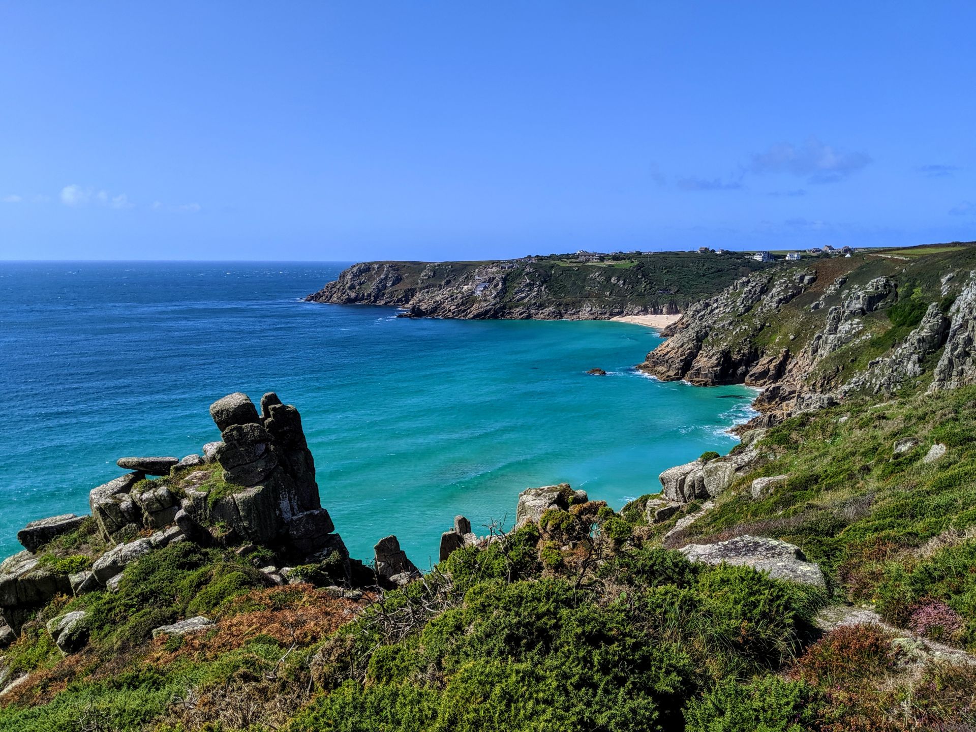
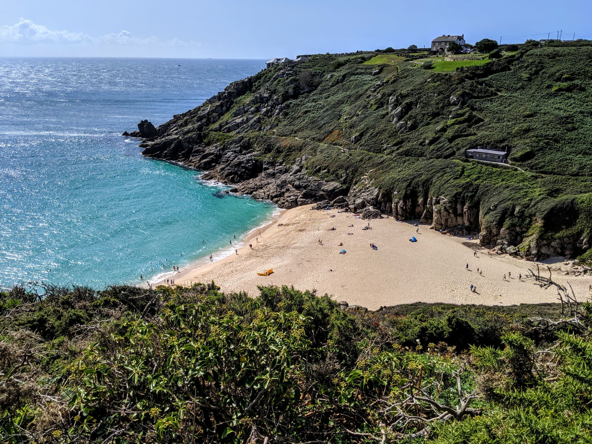
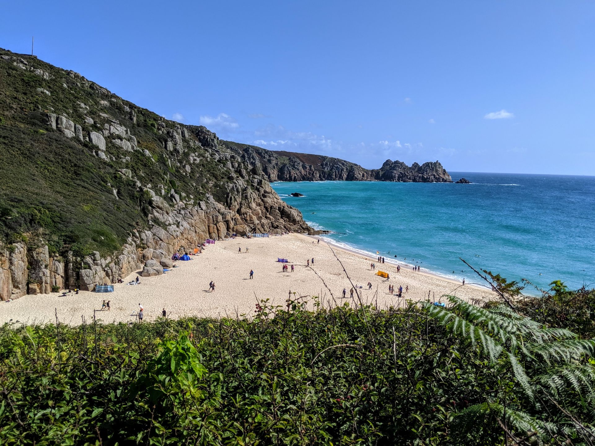
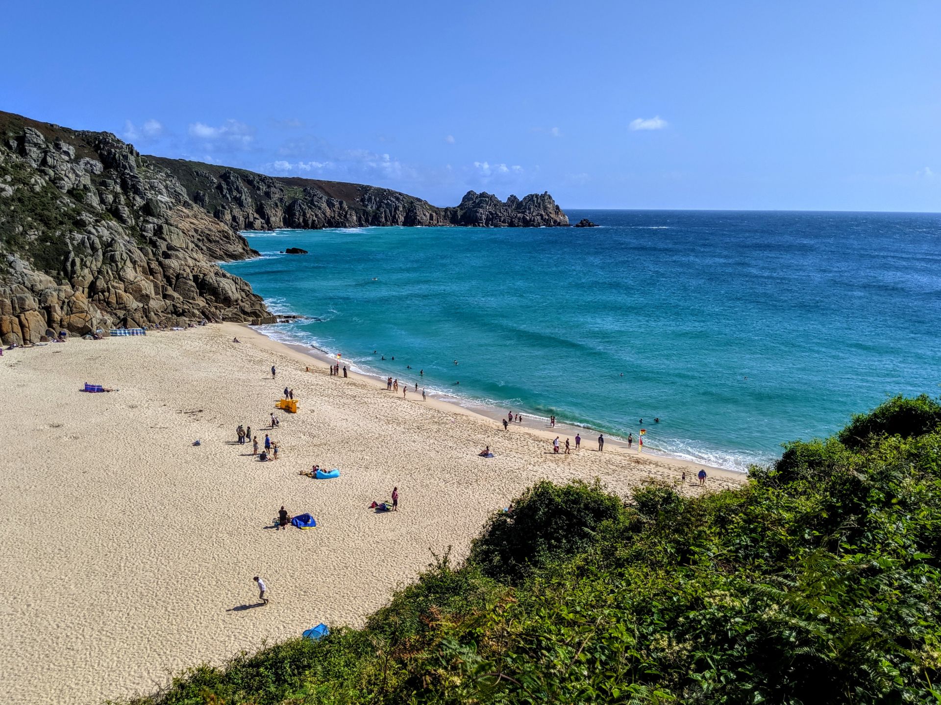
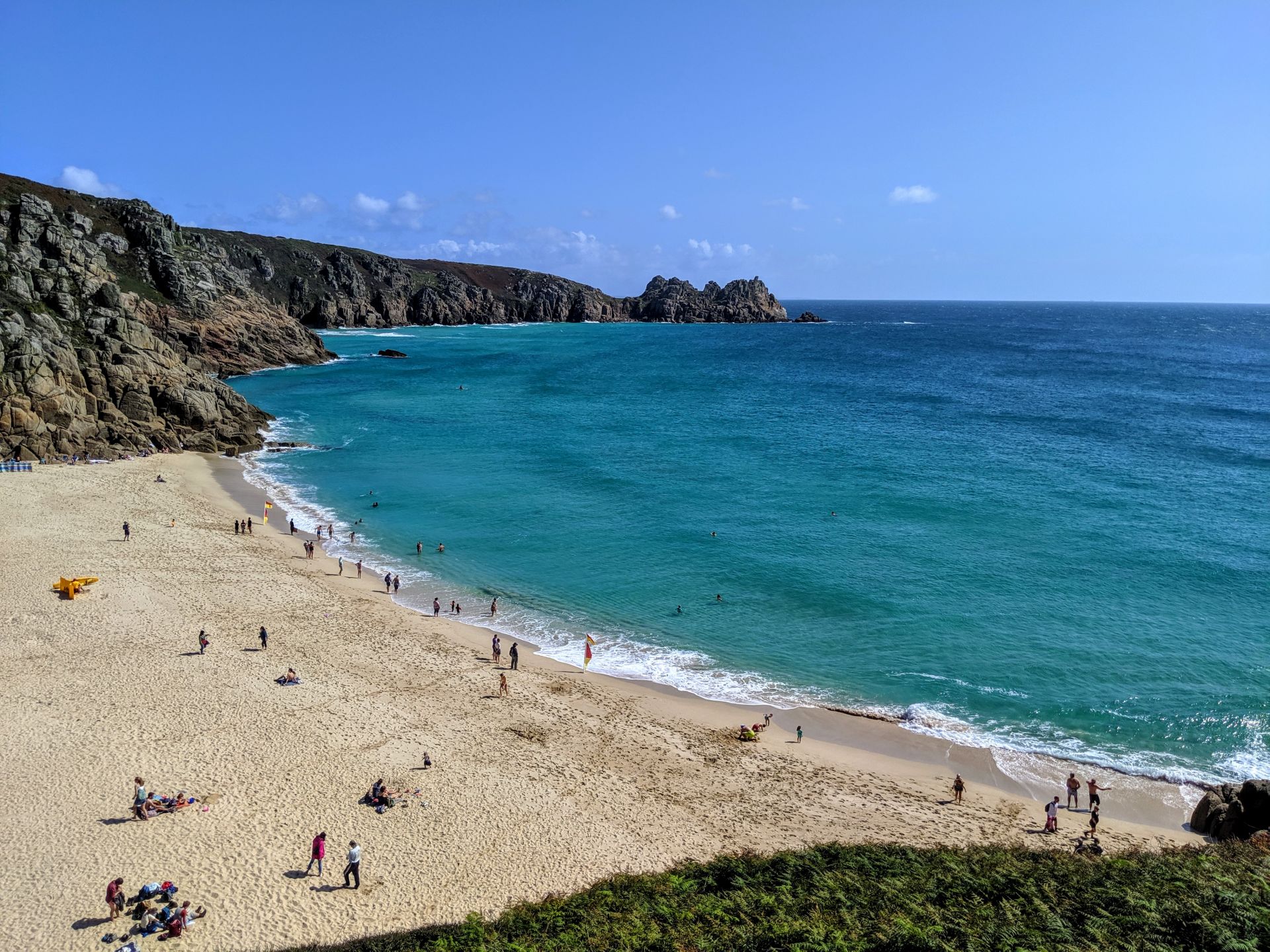
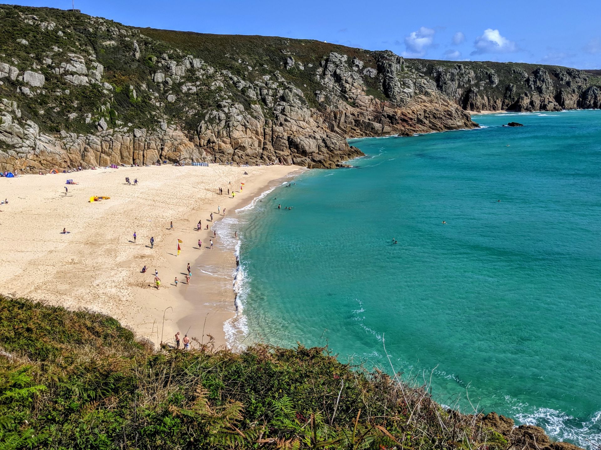
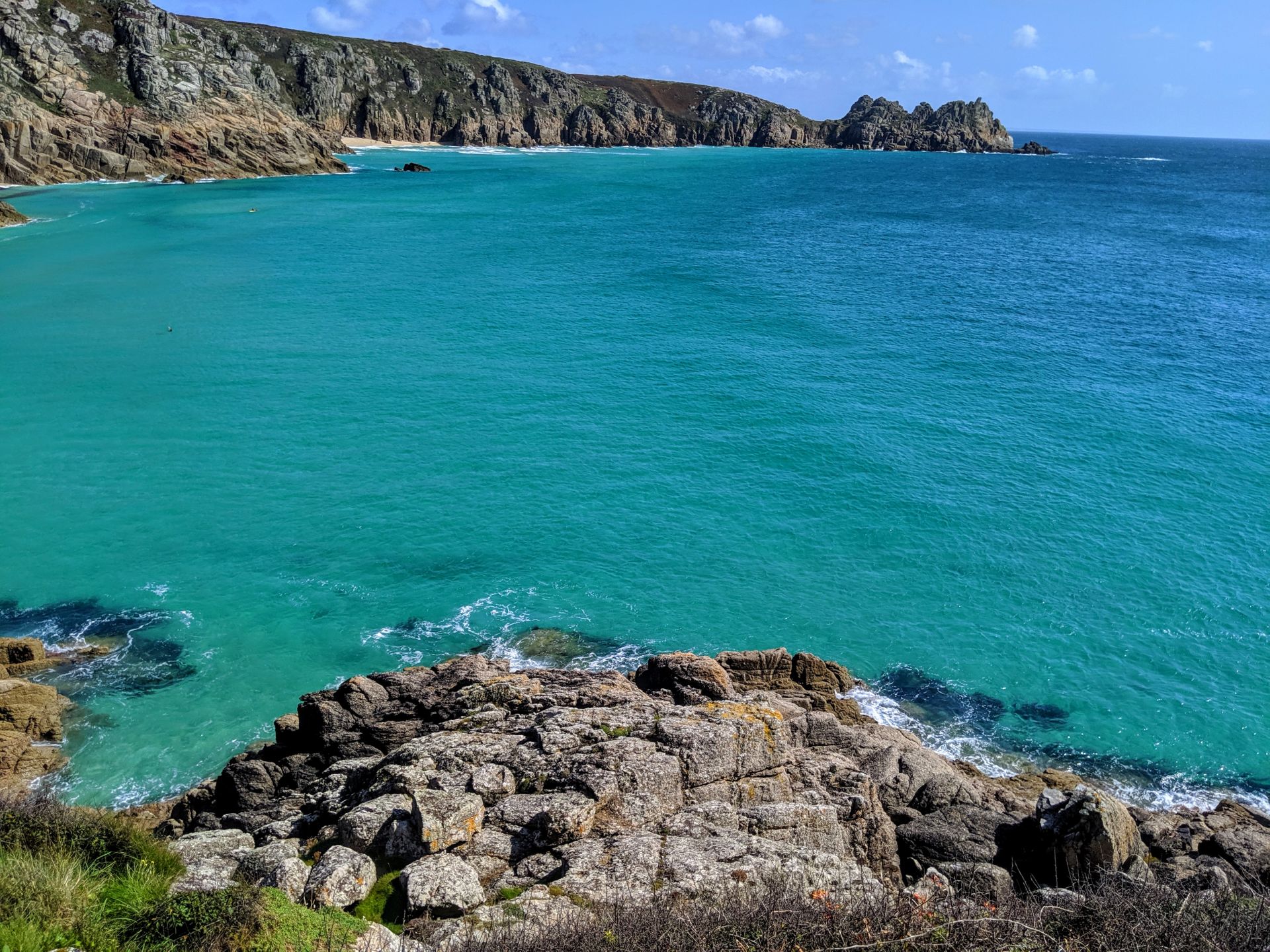
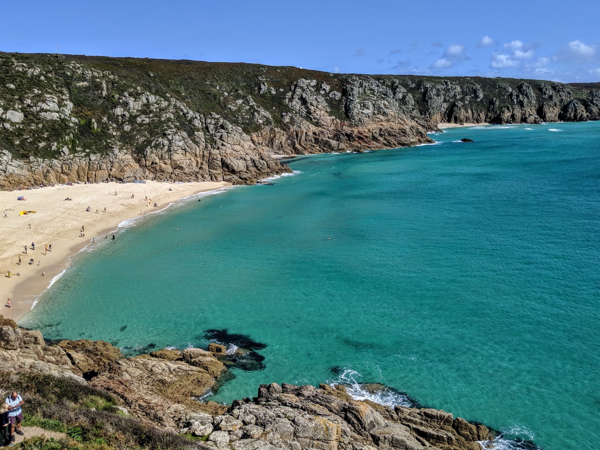
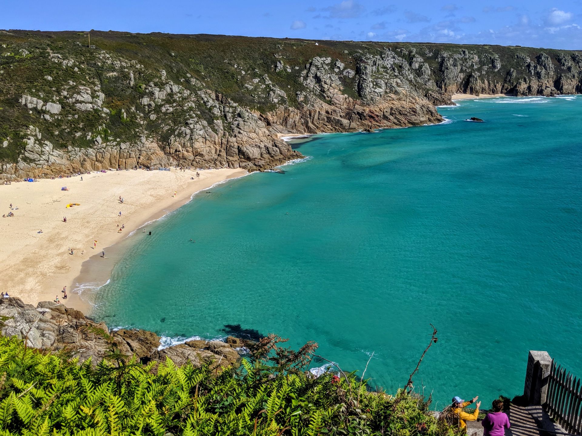
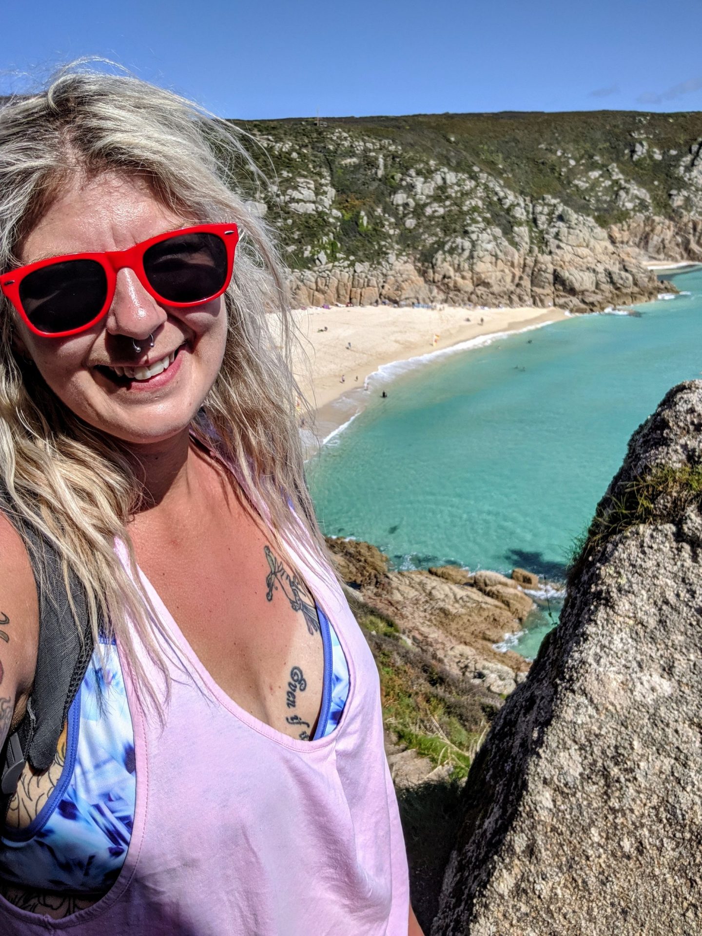
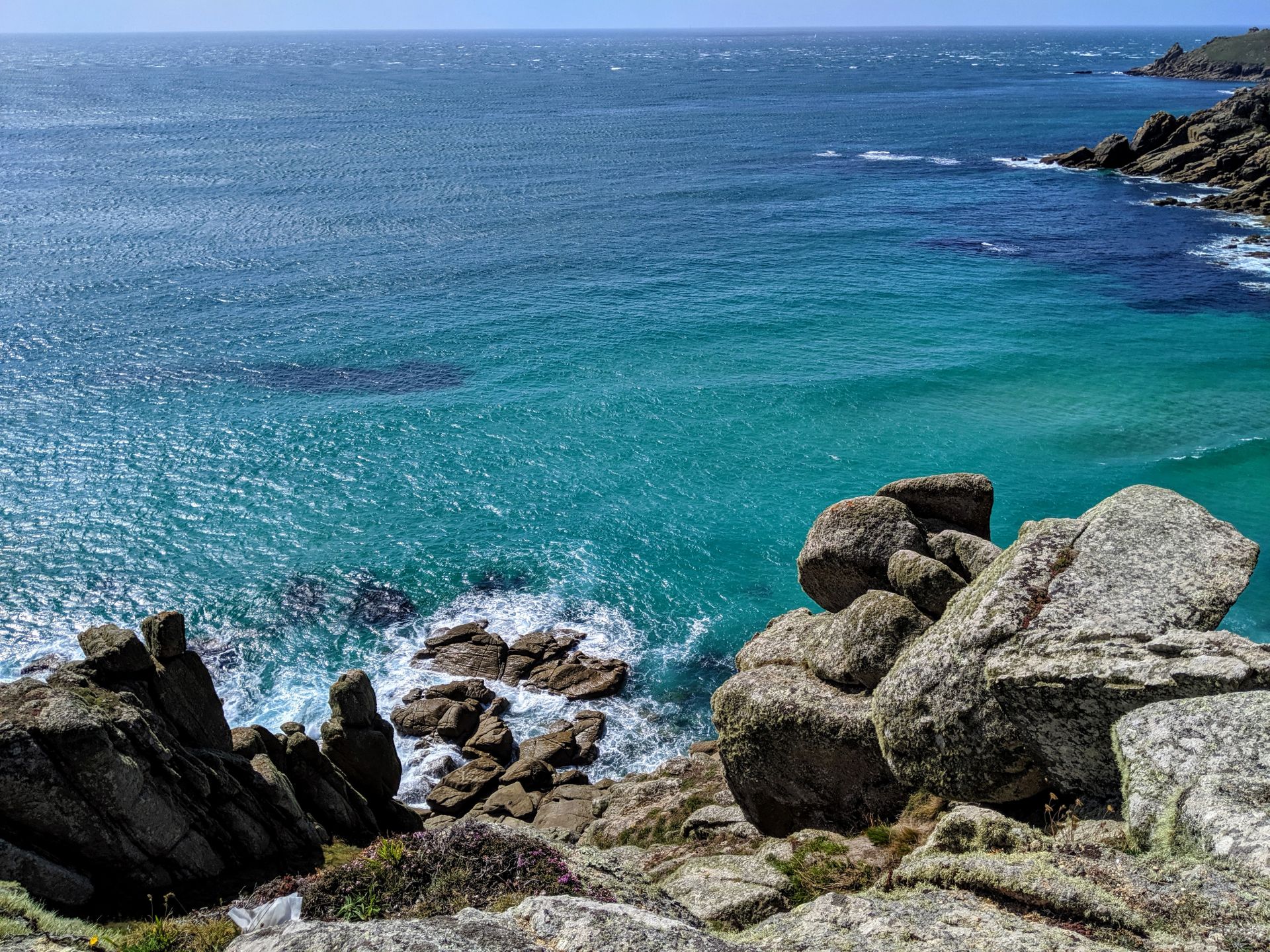
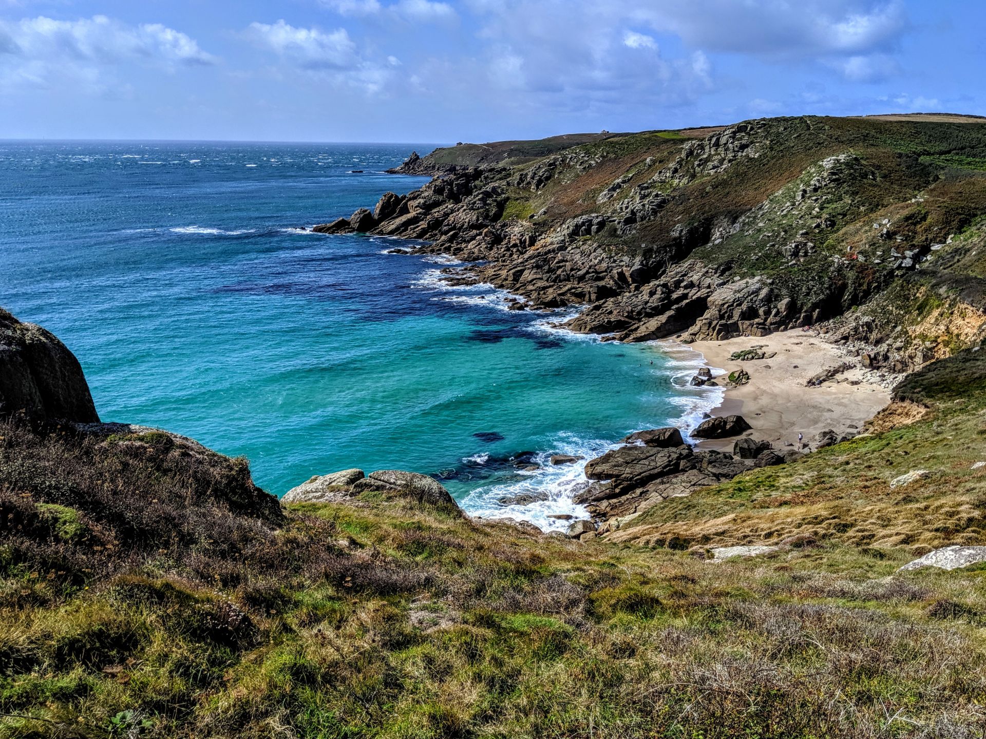
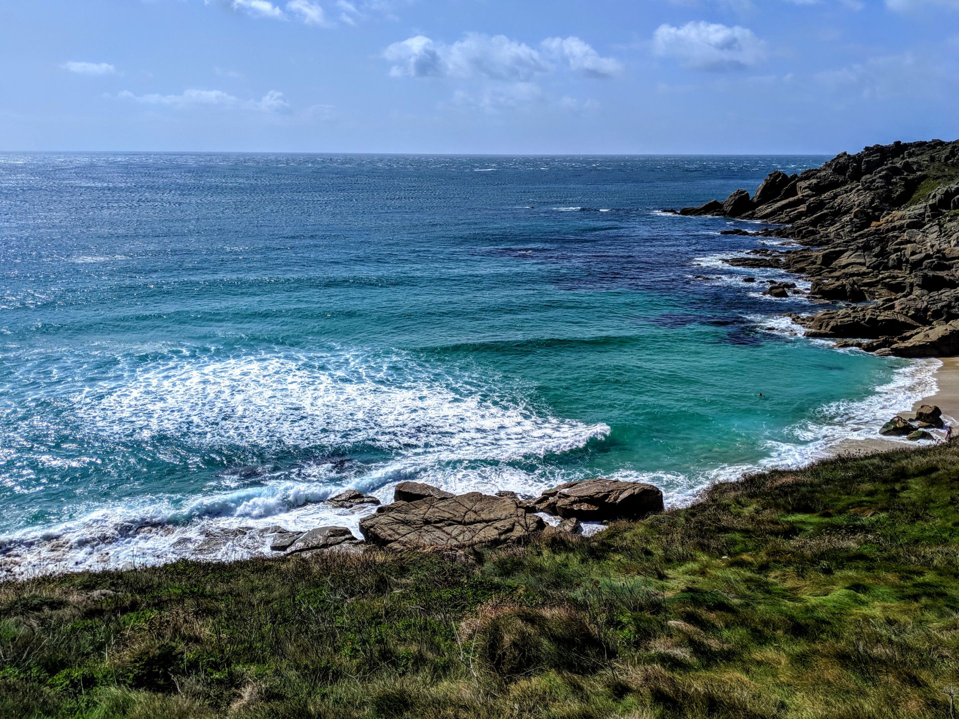
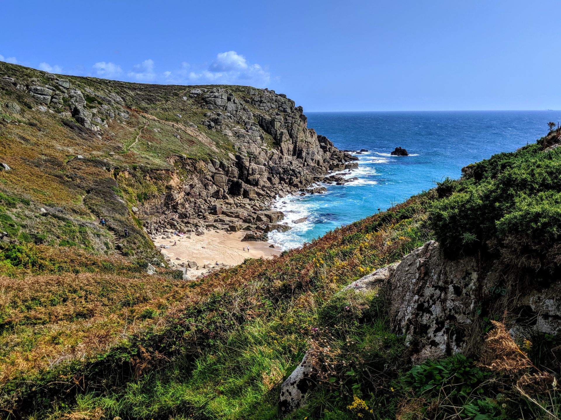
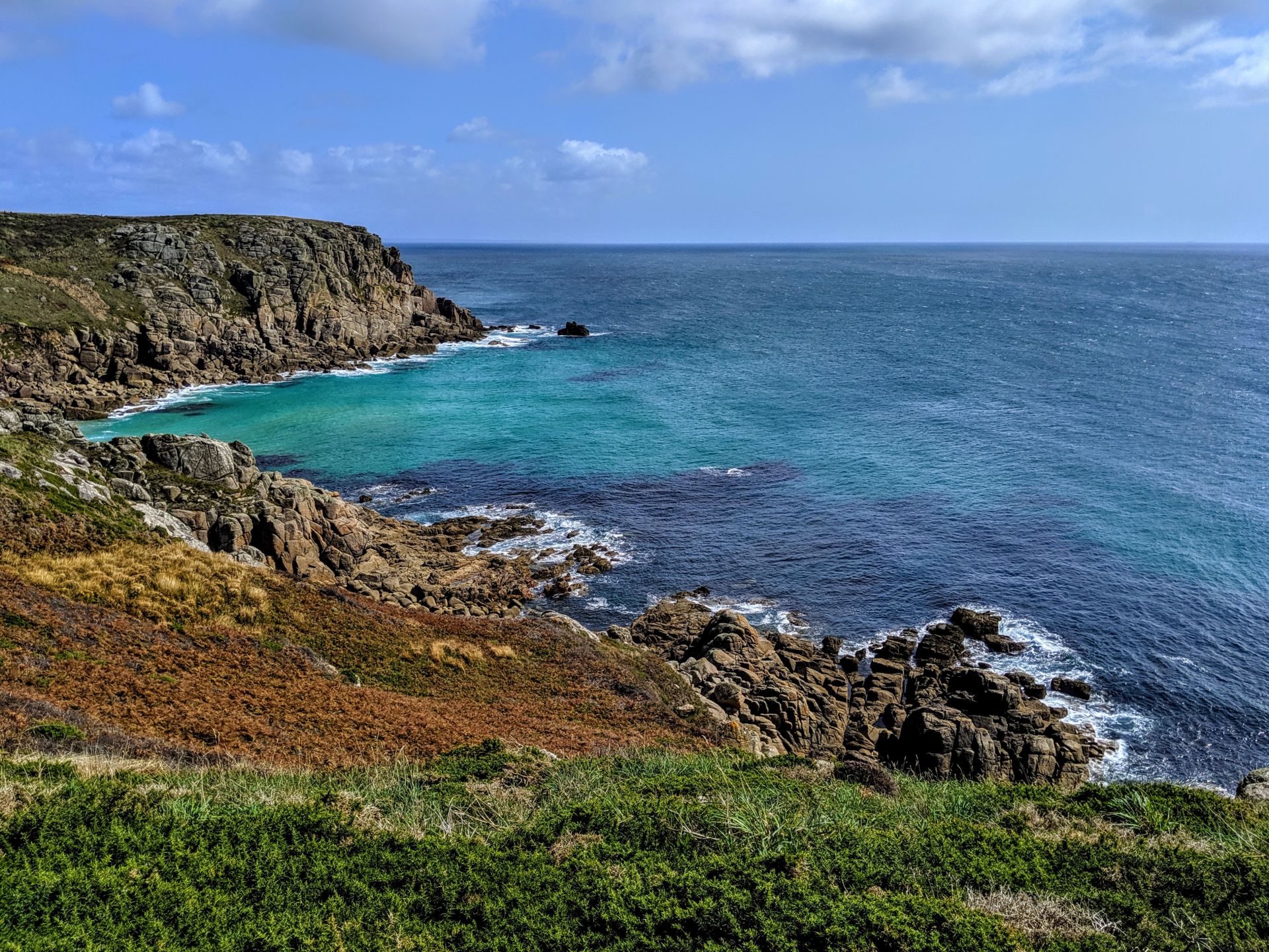
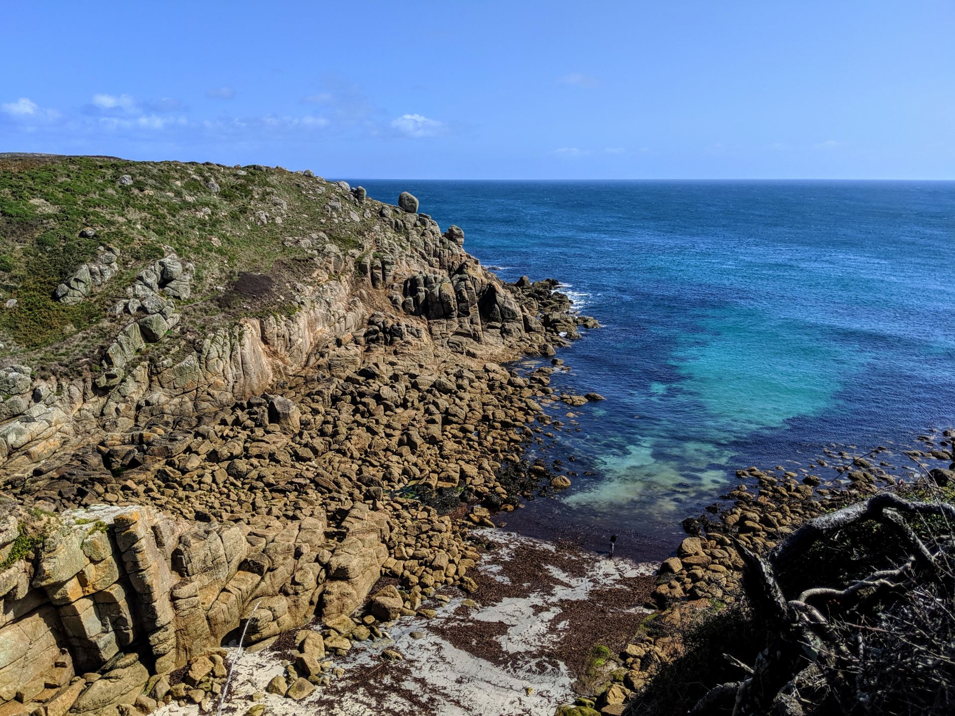
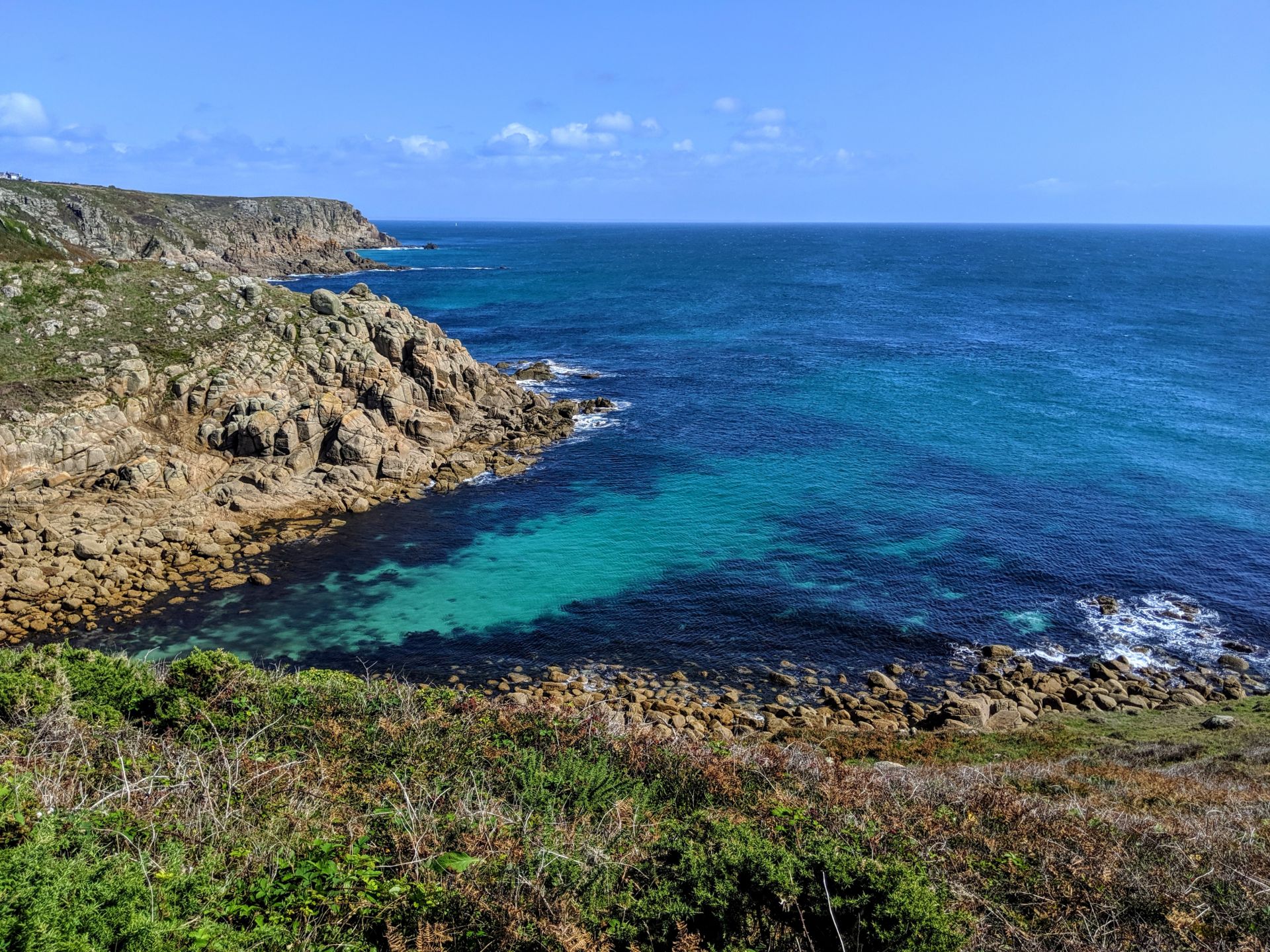
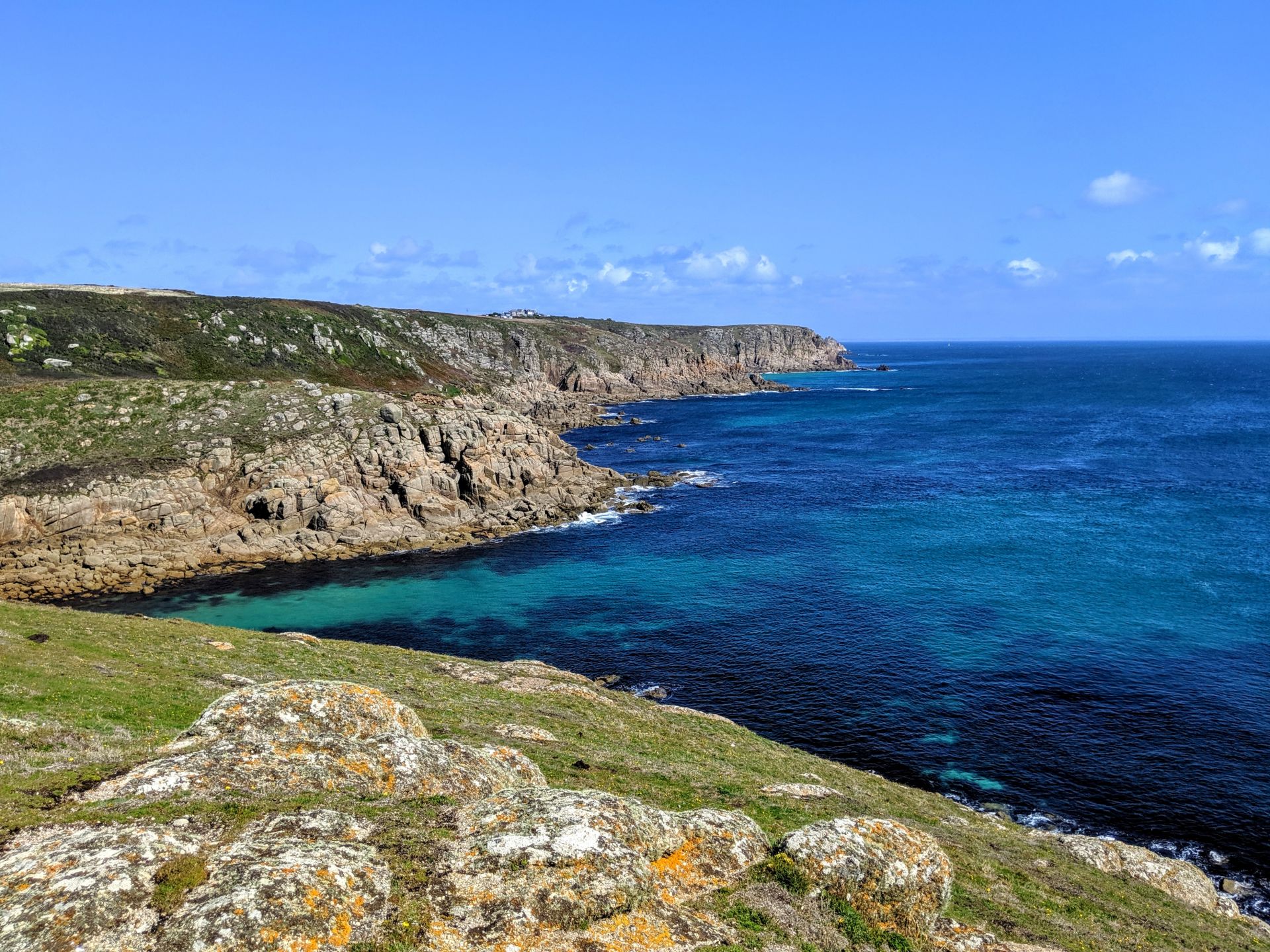
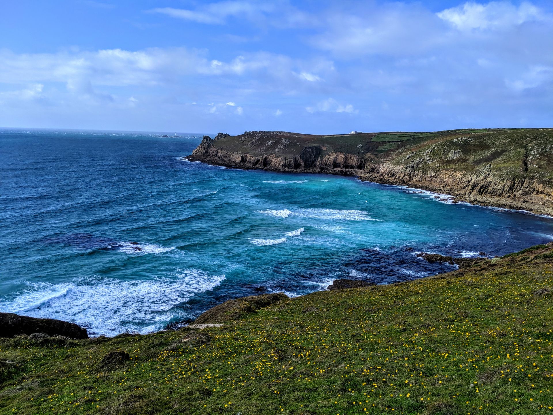
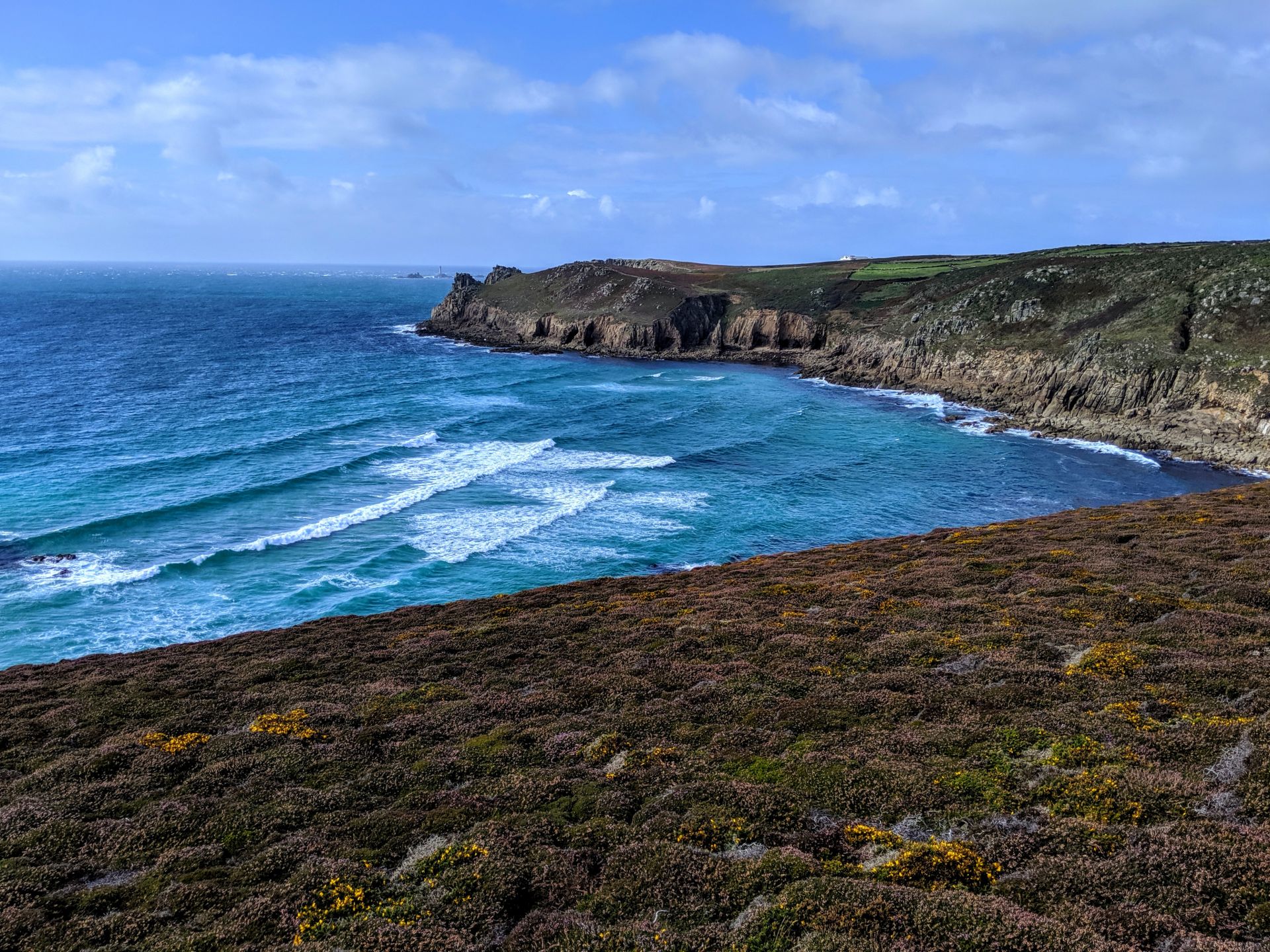
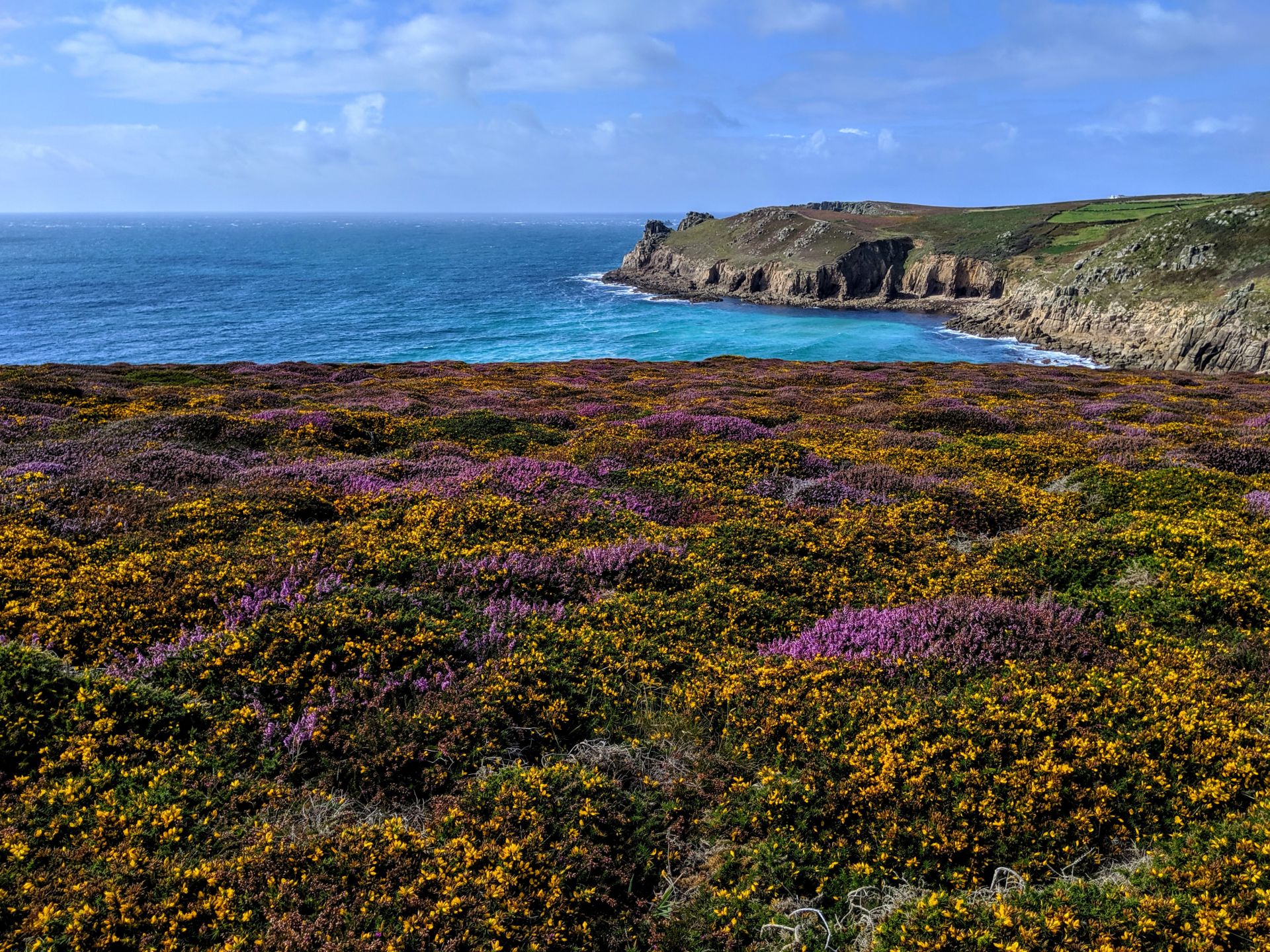
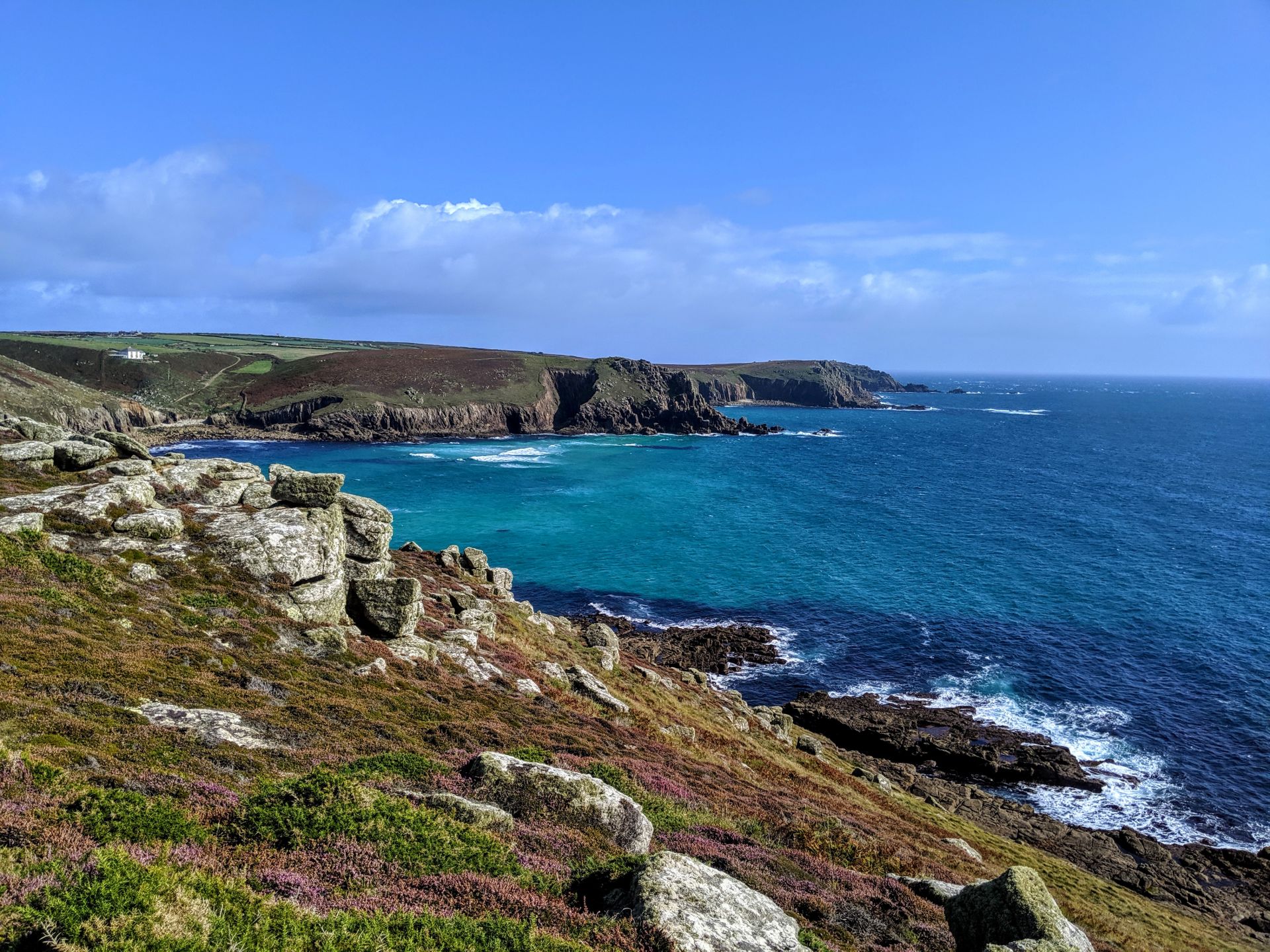
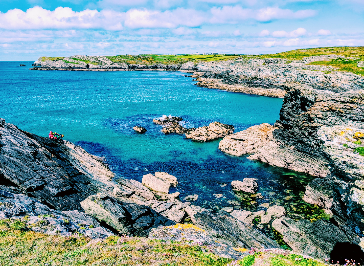
After lunch I started the second half of the days walk, catch up on the first half here. The start was possibly the most beautiful beach in Cornwall, Porthcurno beach could have been lifted from any Caribbean island, the pictures really do not give it justice. I don’t think I have ever seen water so blue and clear and I’ve been to the Caribbean. Crowds of tourists hung of rocks trying to get the perfect selfie with blinding blue background! A stunning beach, however a little bit crowded for me!
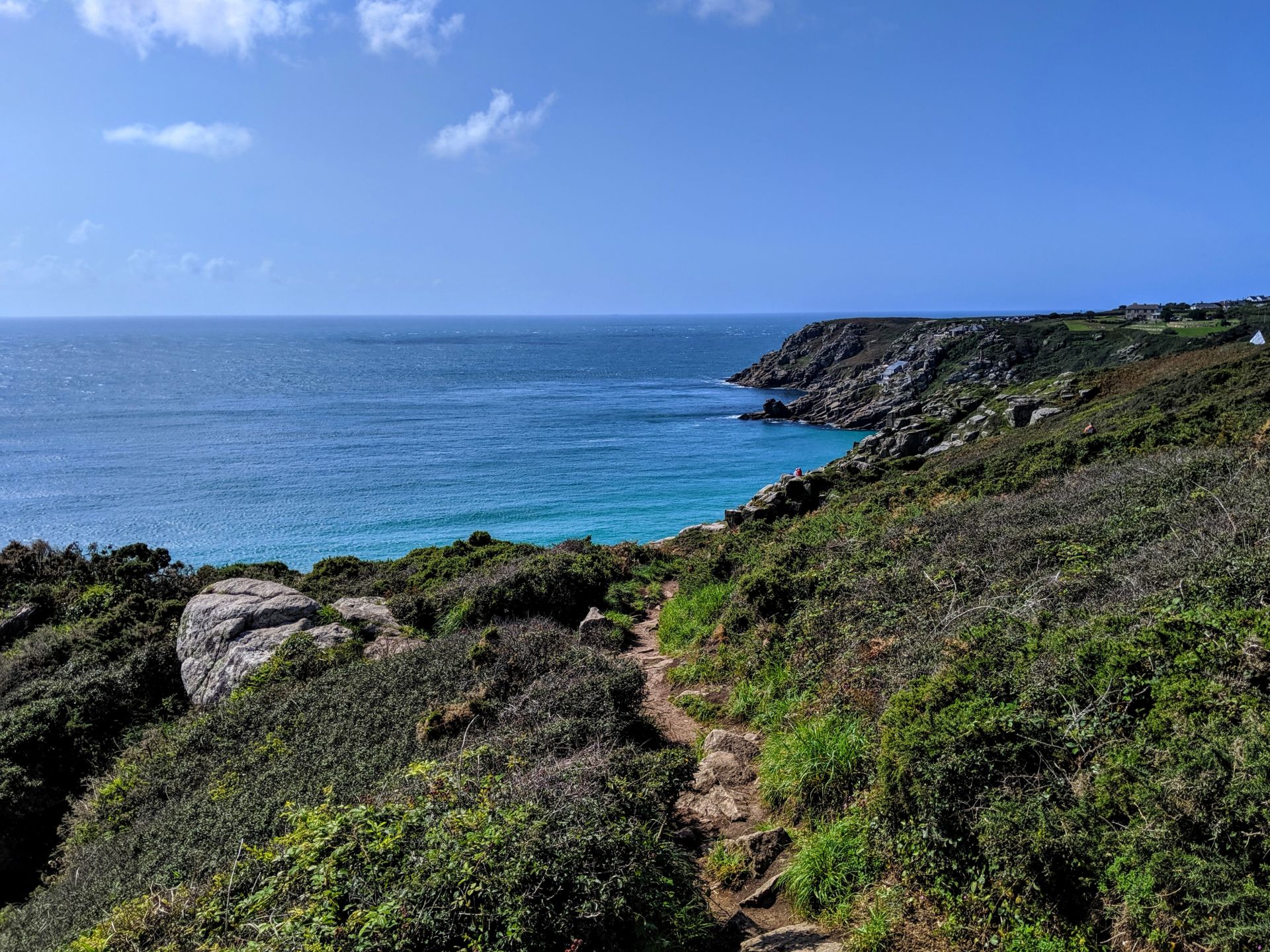
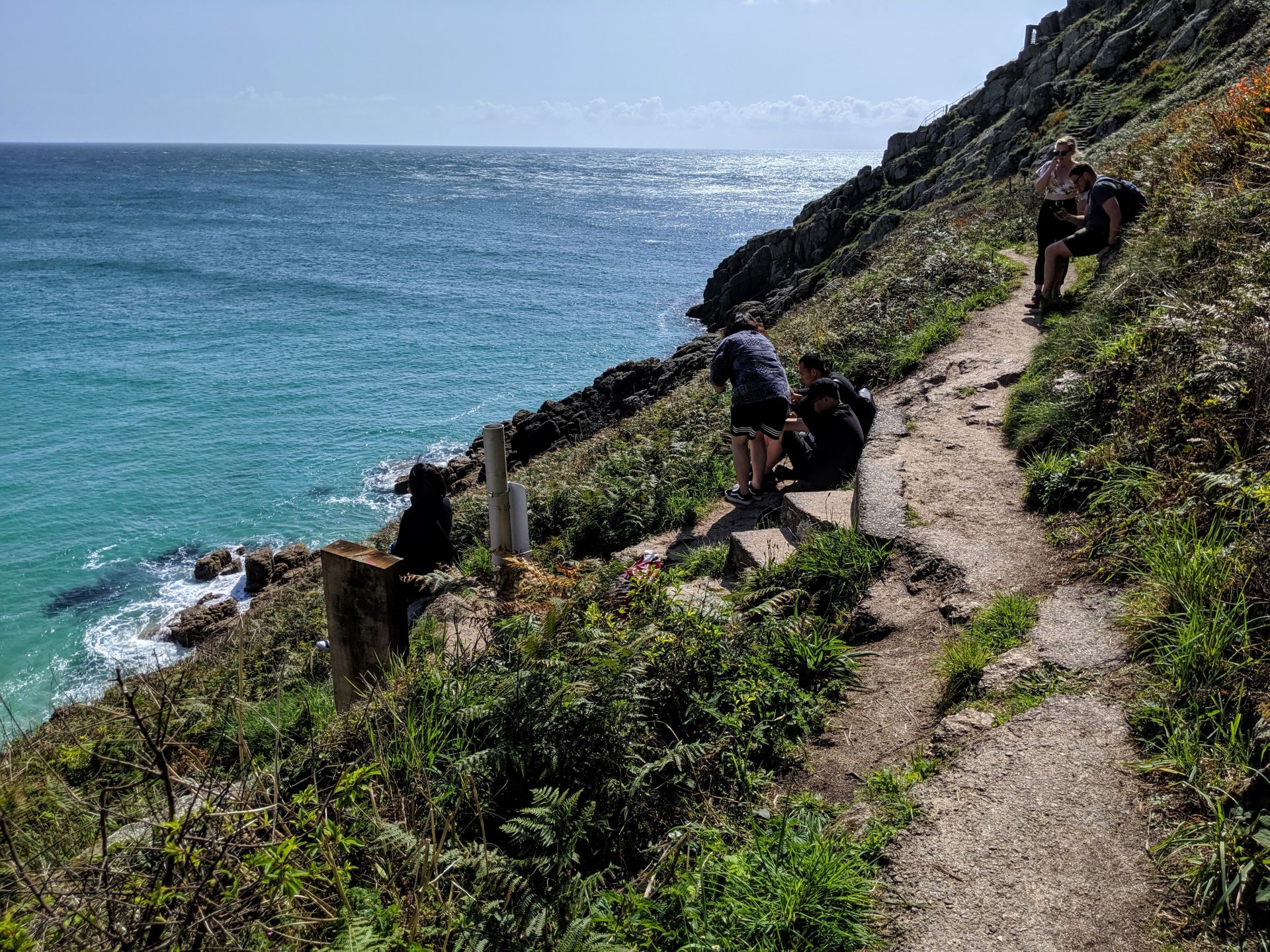
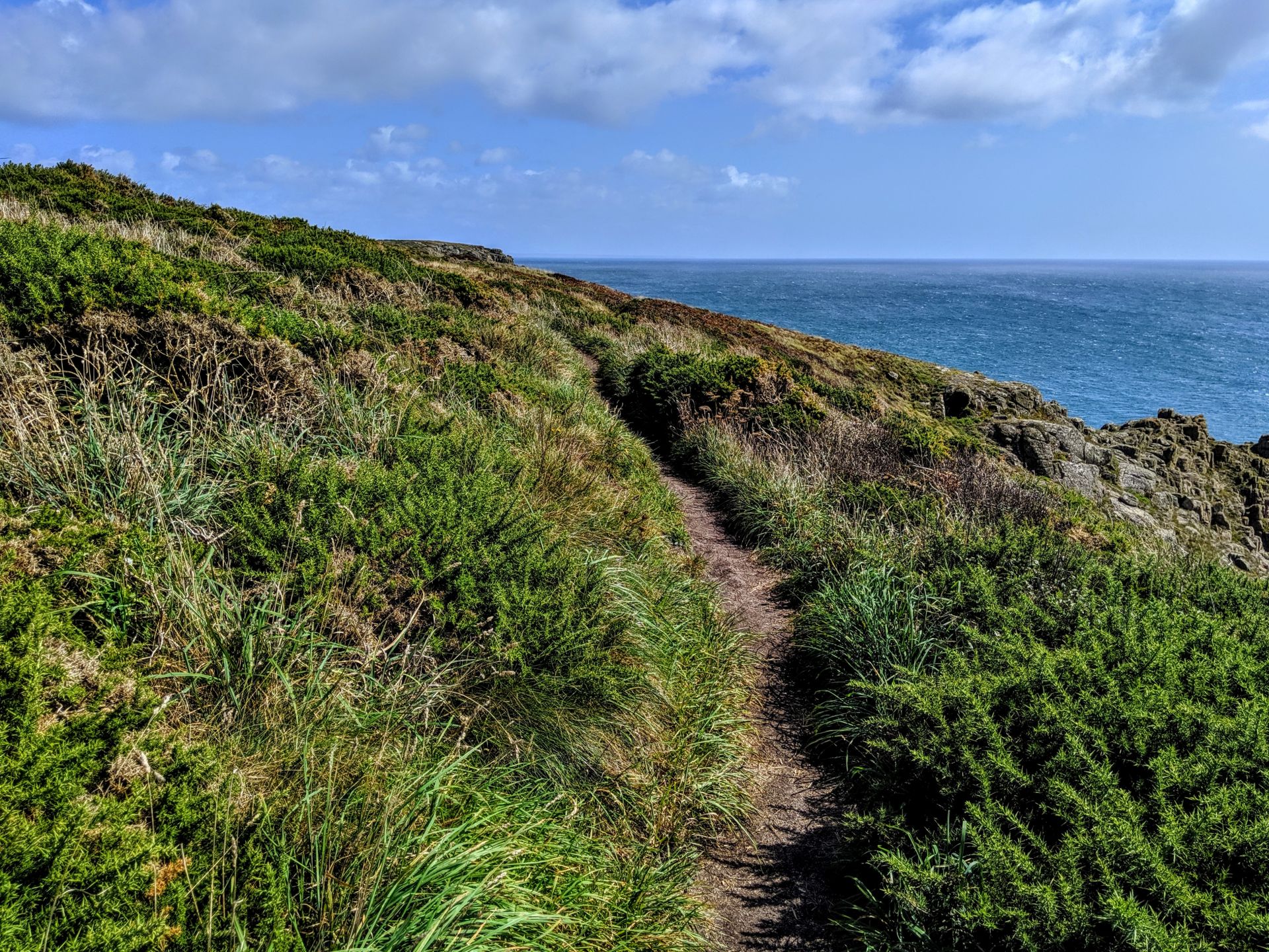
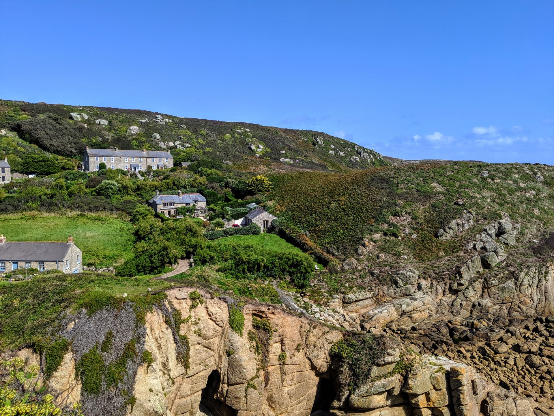
Porthcurno is a small village in the parish of St. Levan on the south coast of Cornwall. The village located in “The Valley” consists of houses, apartments, a pub, a seasonal cafe/restaurant and a large beautiful white sand beach. The fine soft white sand is washed by a sea that turns turquoise in the sun. The steep sided slopes of the valley and the rocky outcrops, that provide shelter, add to its beauty and the South West Coast Path along the cliffs provides fantastic views. In the valley there are remains of man-made stone tracks for horse-drawn vehicles one of which can be seen from the car park down to the beach this indicates evidence of early commercial port activity.
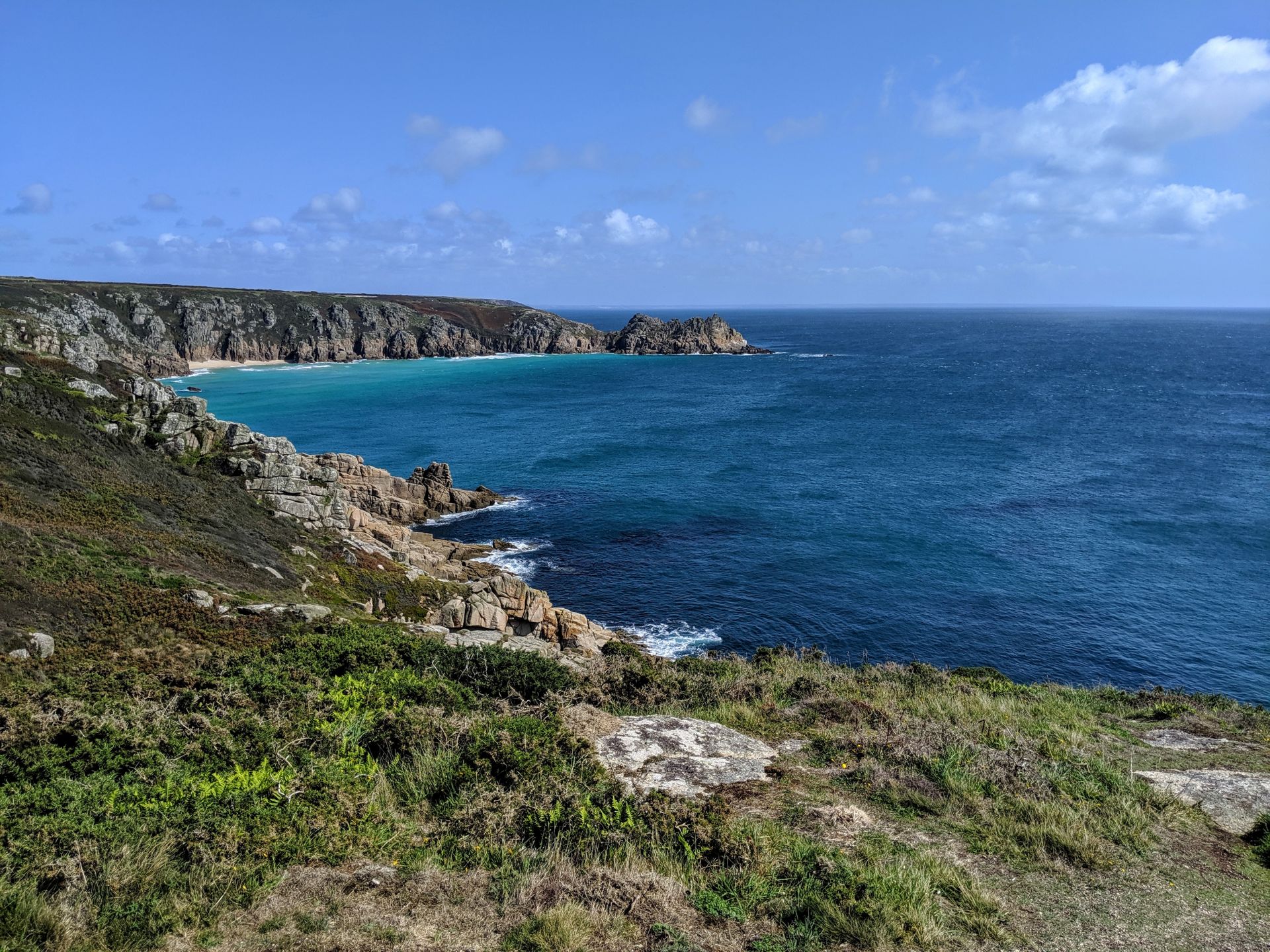
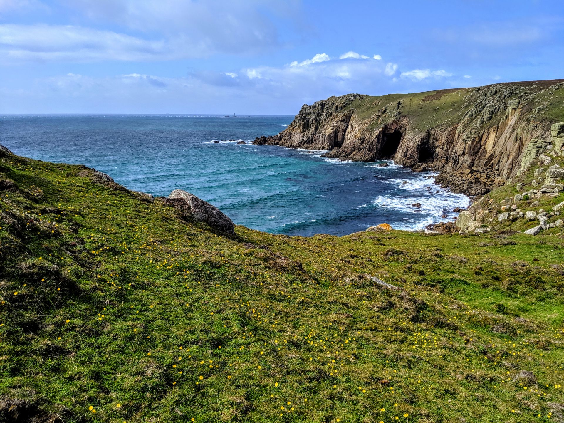
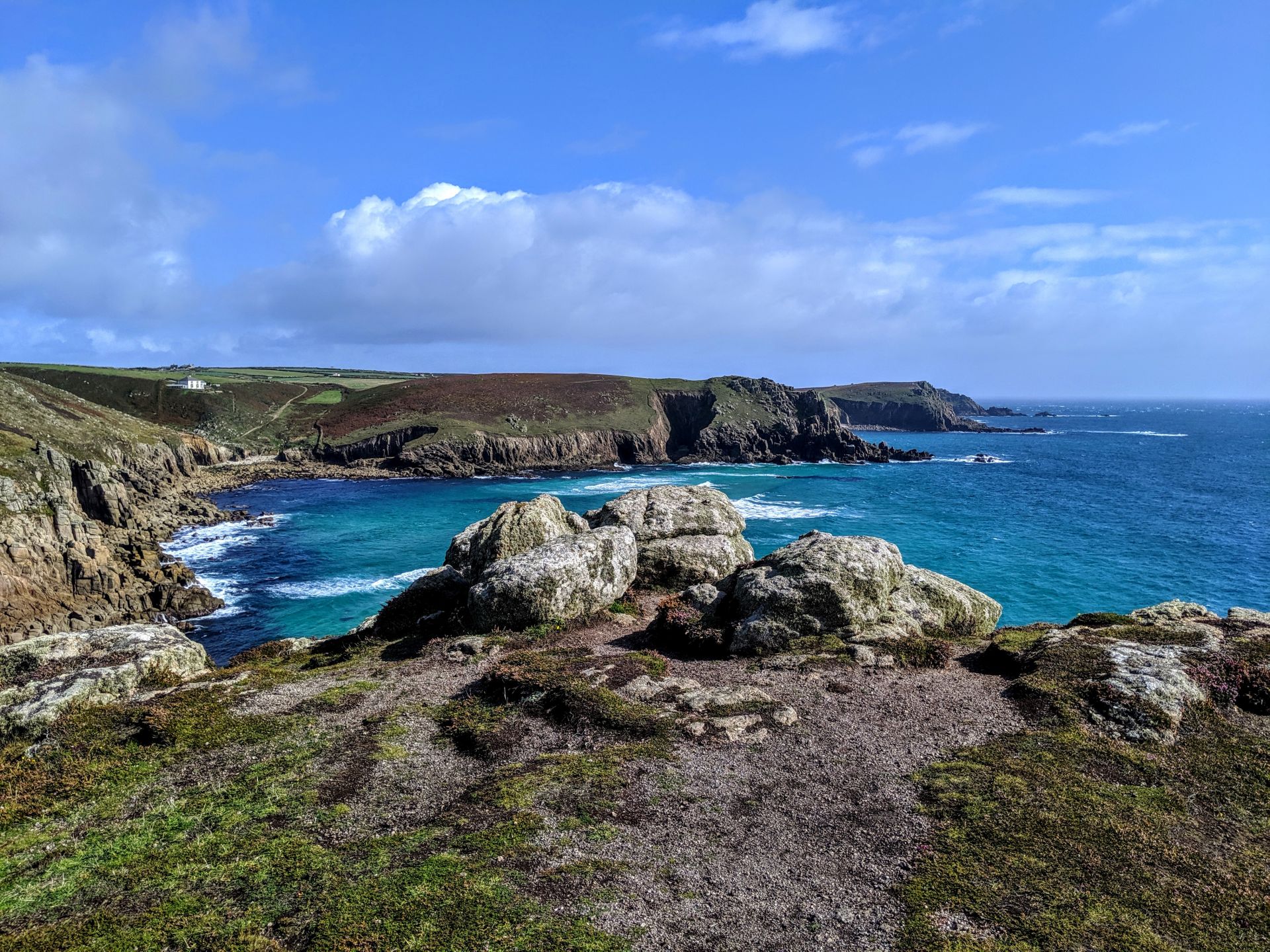
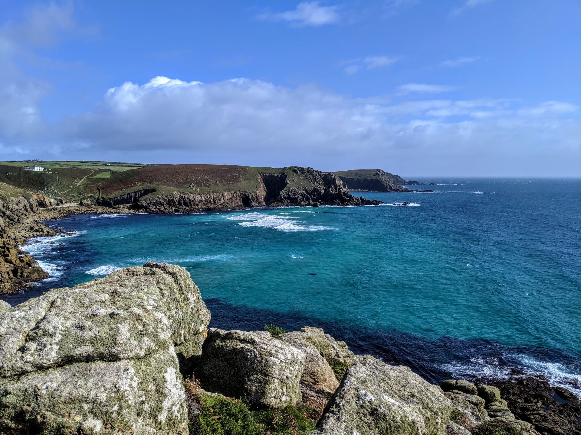
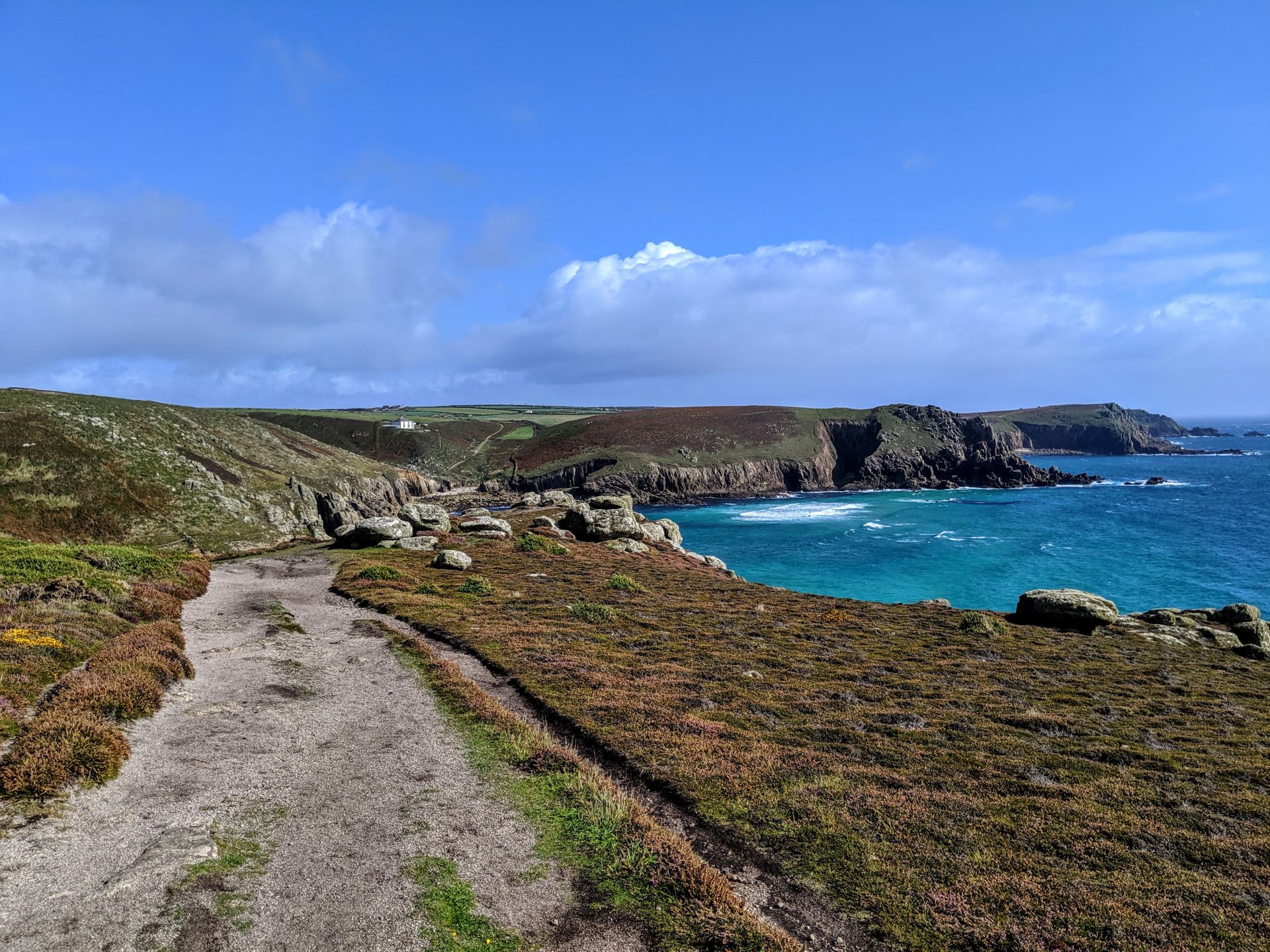
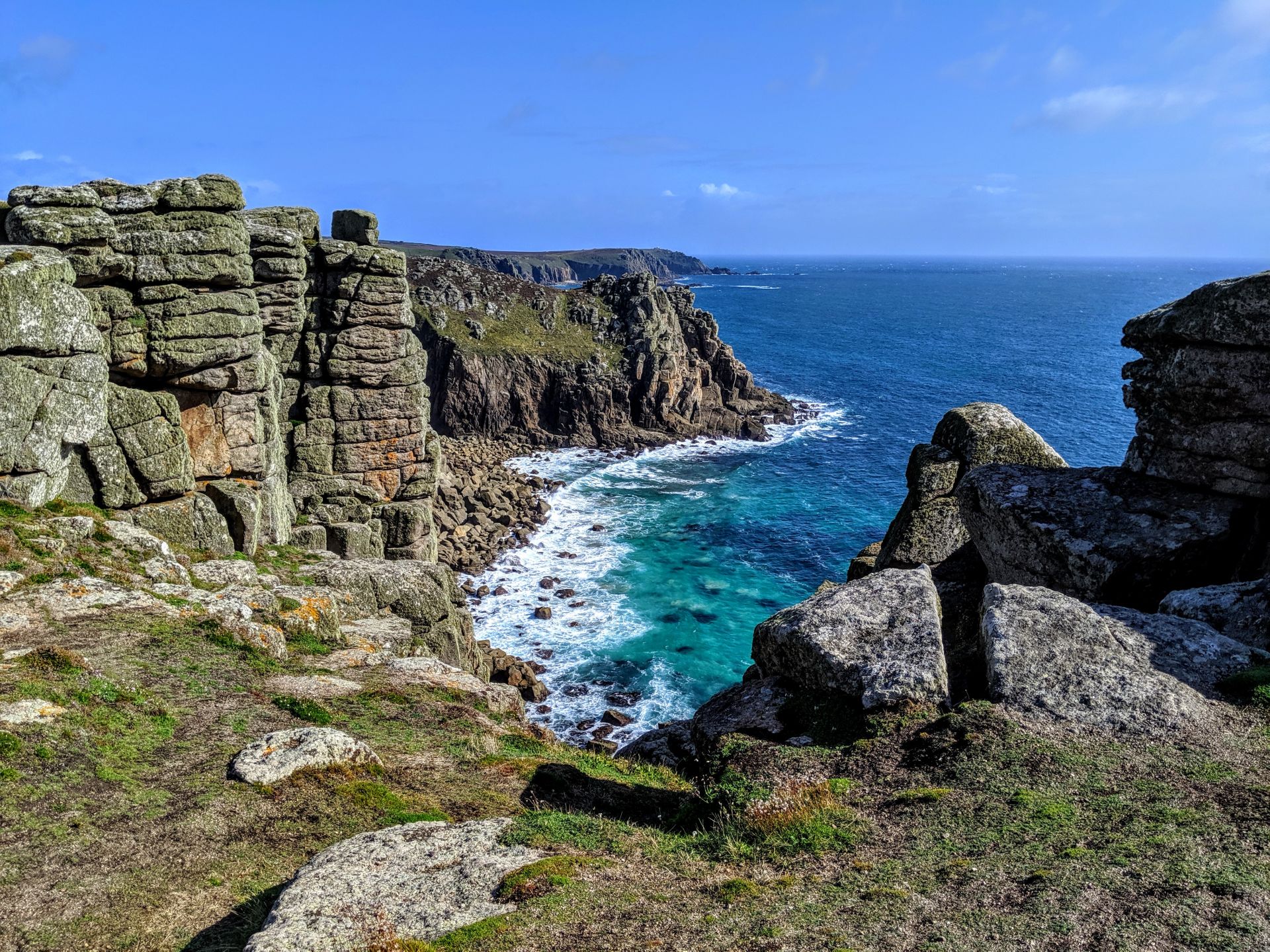
The cliffs and coast line around Porthcurno are officially designated Areas of Outstanding Natural Beauty and most of the area is owned, preserved and maintained by the National Trust. To the west side of the beach it is the Logan Rock headland that shelters the bay. The prevailing wind and the winters are unusually mild because of the influence of the warm Gulf Stream sea current crossing the Atlantic Ocean from warmer seas around the Gulf of Mexico. The south Cornish Coast has some of the highest air temperatures and sub-zero temperatures and frost are uncommon thus making the area popular with tourists and holiday makers many from abroad.
Situated in the cliff face above beach to the west is the open-air Minack Theatre built in the 1920s by theatrical visionary Rowena Cade and her faithful gardener. The theatre is open for plays produced by companies from all over the UK and visiting companies from the USA from June to September. The Rowena Cade exhibition centre, coffee shop and theatre are open, except during performances, throughout the rest of the year for visitors wishing only to view the sight. There is an entrance fee and a large car park.
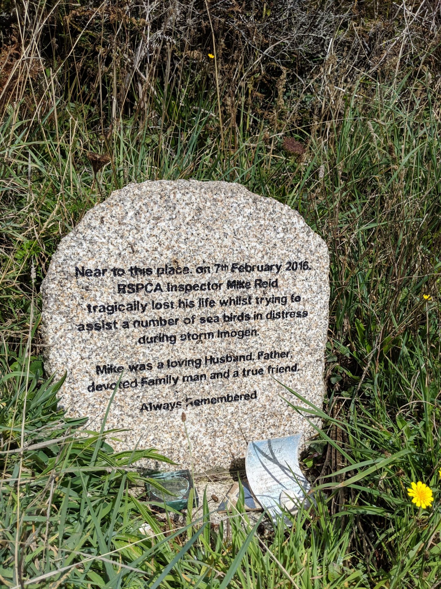
This broke my heart!
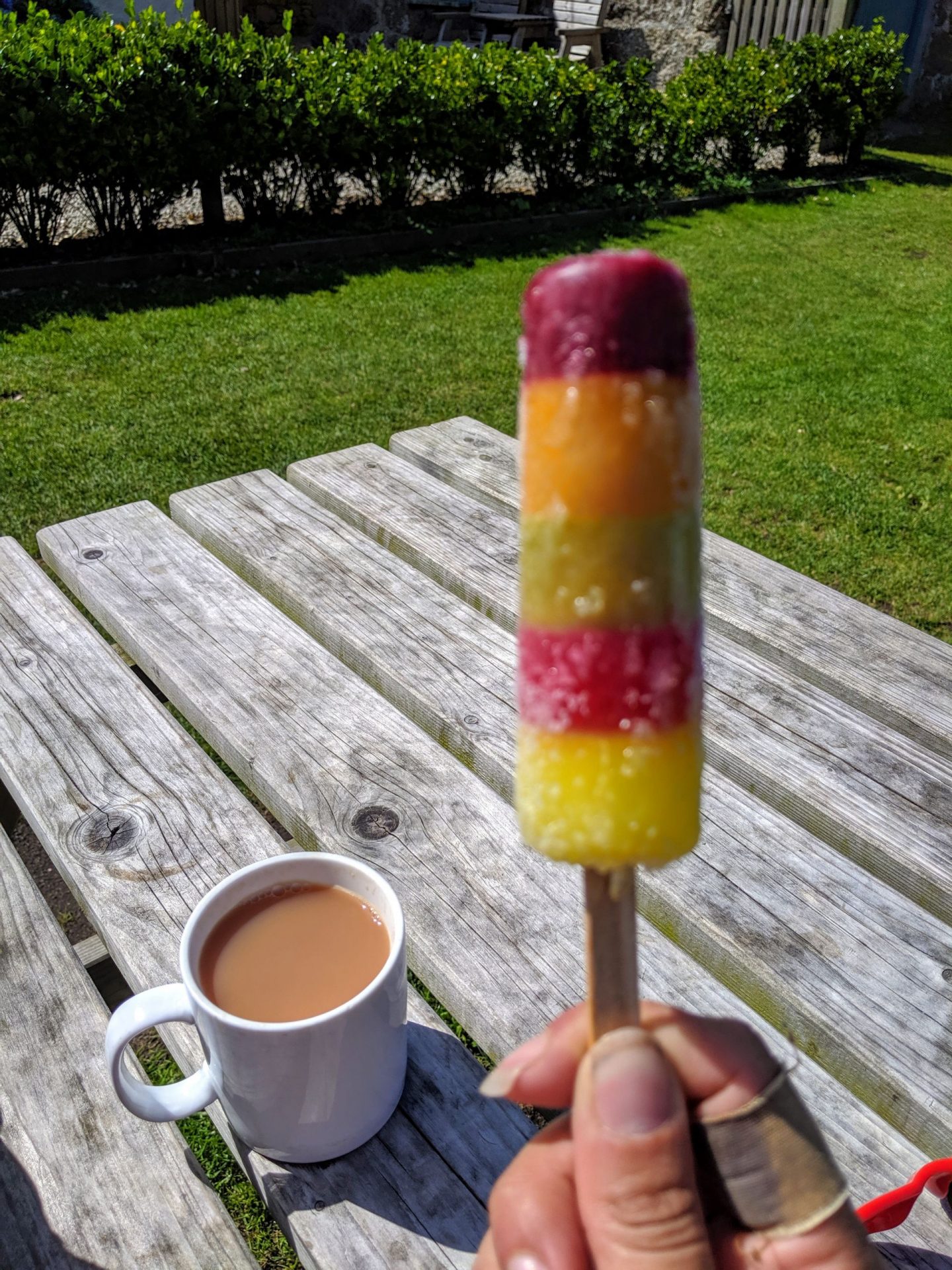
On a long hot day nothing feels like more of a luxury than a cup of tea and an ice lolly! Especially since you are damn lucky if you pass anywhere selling them along the coastal path! The lady at the cafe even refilled my water bottles for me which meant I was able to drink a good litre and a half during my little tea break!
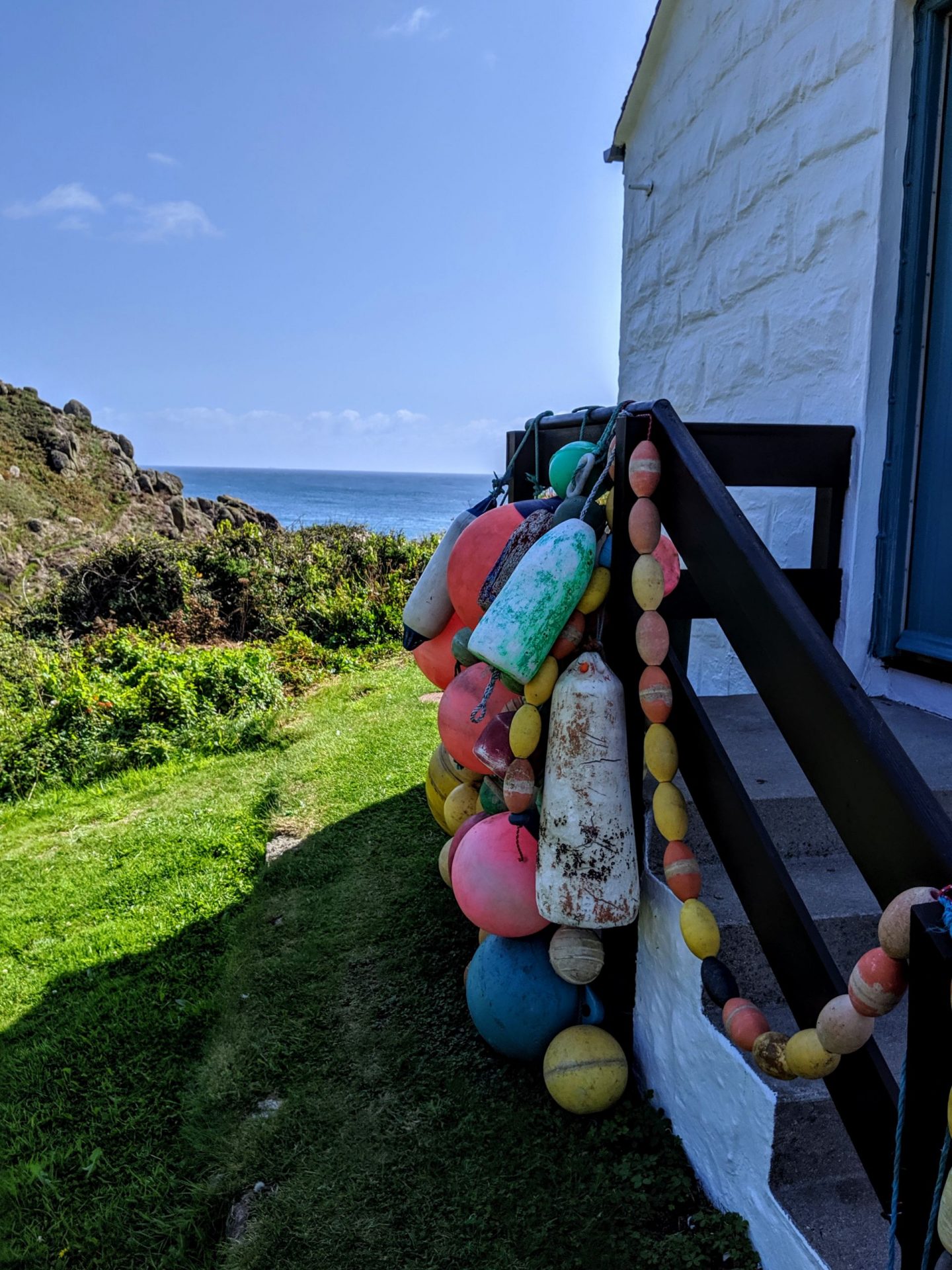
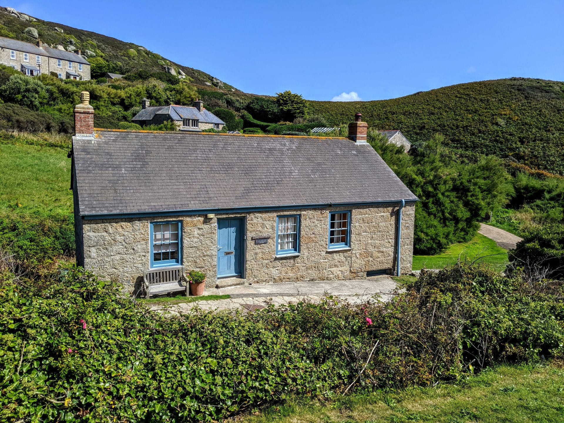
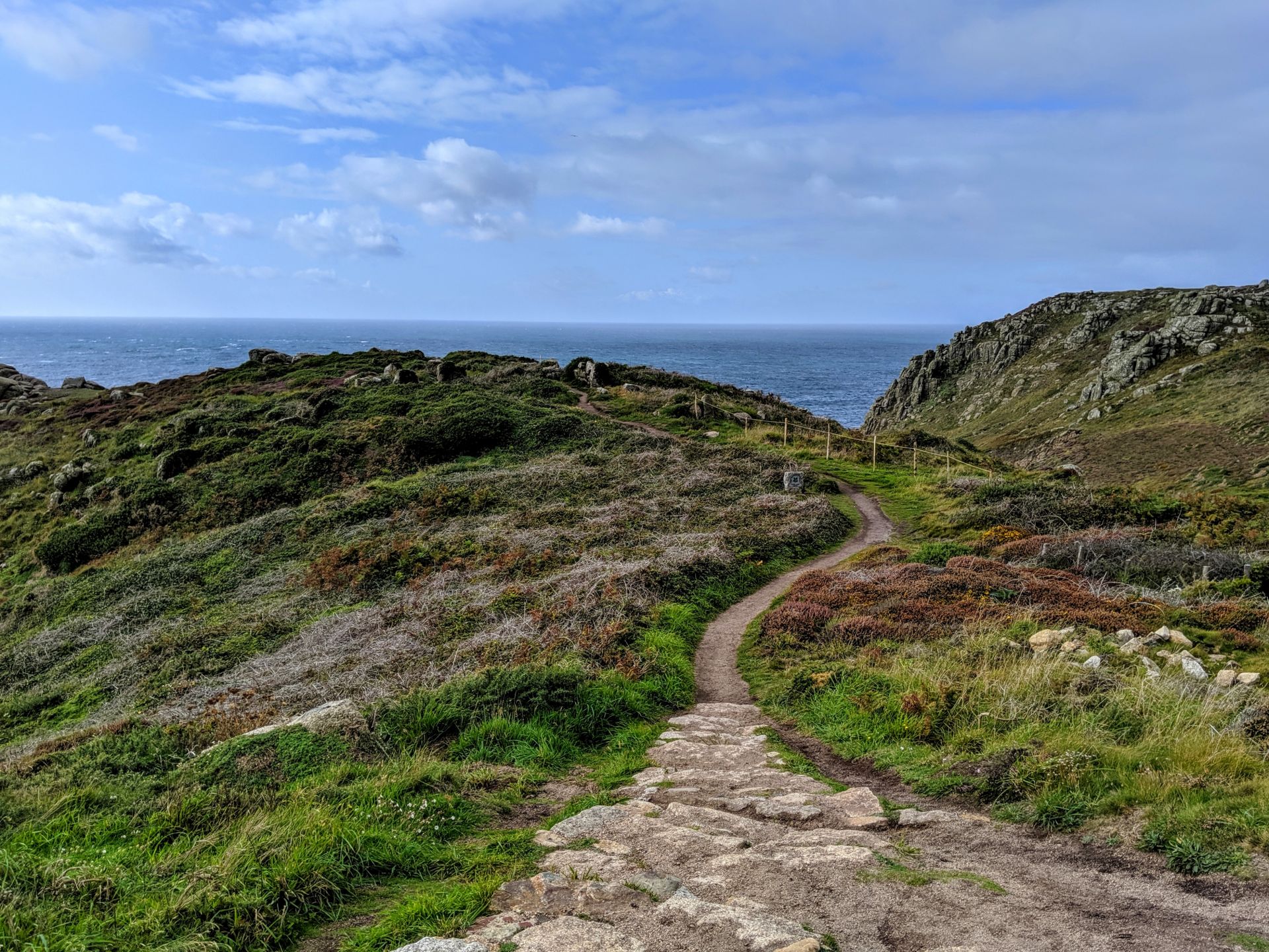
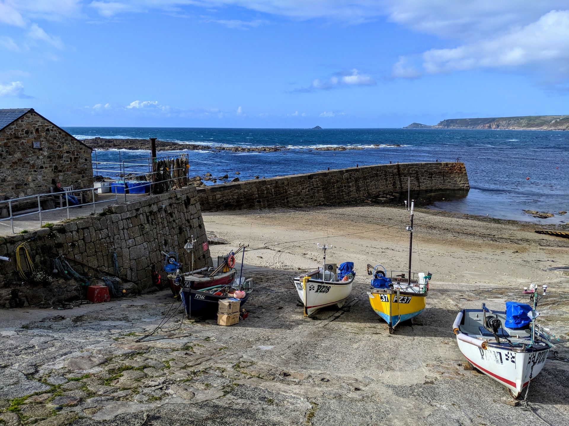
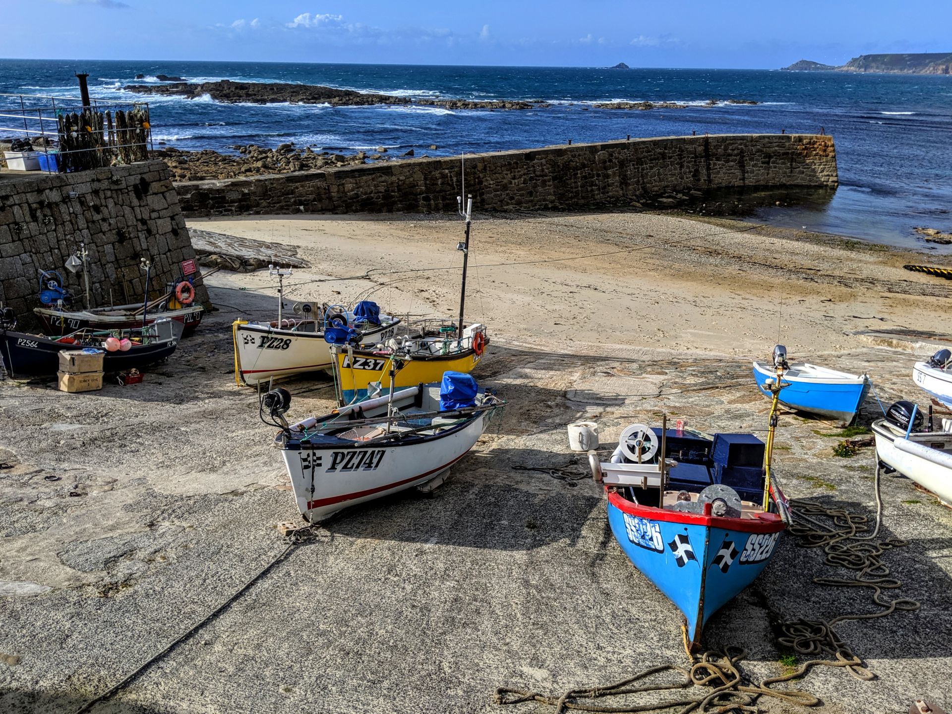
Porthgwarra is a small coastal village also in the parish of St. Levan houses public toilets, a pay telephone, a shop and cafe. The South West Coast Path passes through the village and walkers can take a break on the seat or rocks and admire the wonderful views. The tiny cove and slipway is privately owned by Lord St Levan of St. Michael’s Mount and the public are permitted to respect and enjoy them. At the foot of the cove’s slipway is a tunnel dug by miners from St Just to give farmers horse and cart access to the beach to collect seaweed to use as fertiliser. A second tunnel was the fishermen’s access to the tidal hulleys built in the rocks which had wooden floors and topcovers with trapdoors and were used to store shellfish before being taken to market. The rope laid down the beach is used to steady boats while landing.
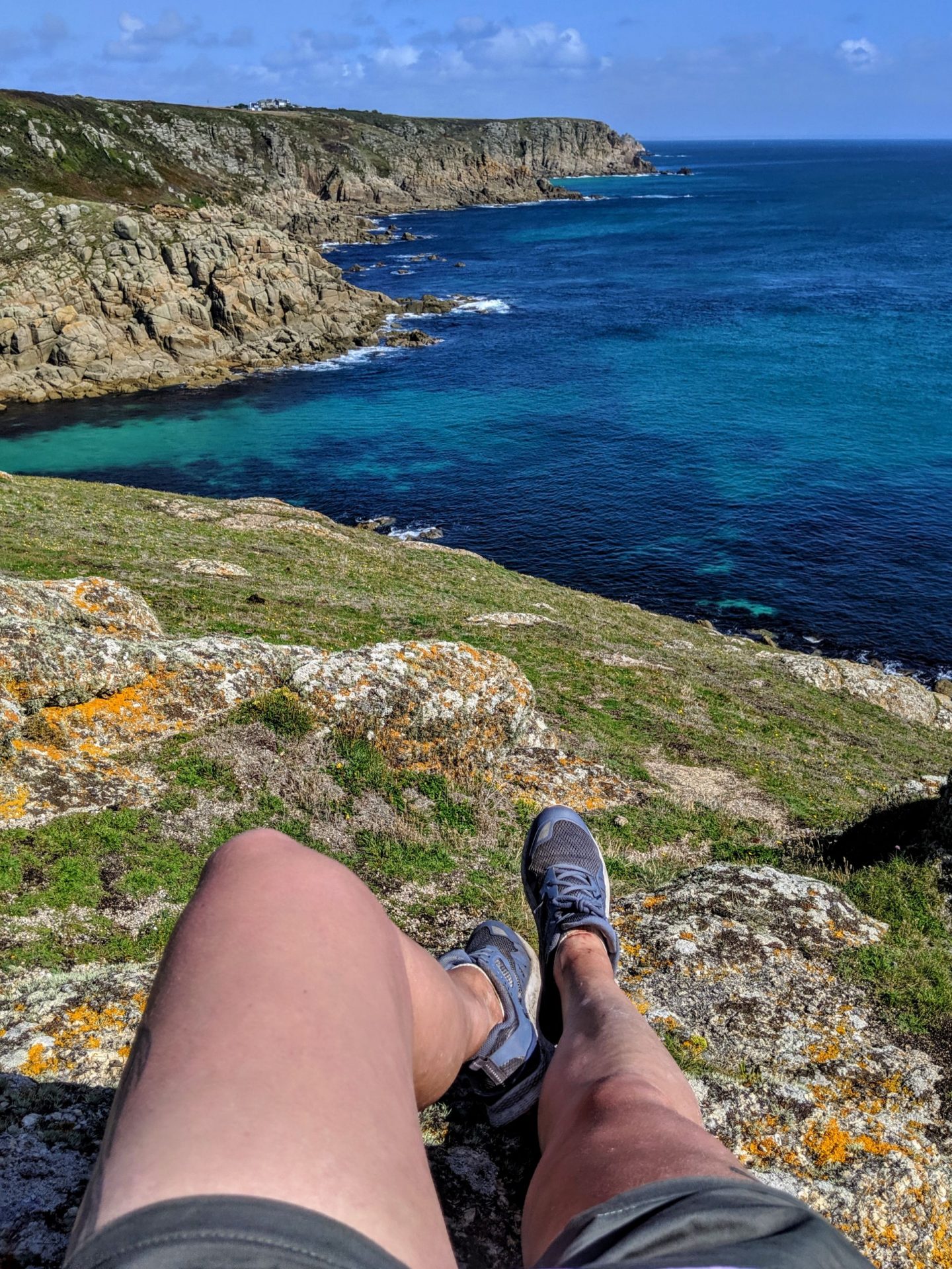
Highlights from the official Southwest Coast Path Website:-
• The rocky islet known as The Irish Lady: this offshore rock is named after the sole survivor of a wreck, who was seen clinging to the rock but drowned before help could reach her. Fishermen still report sightings of a lady perched on the rocks with a rose in her mouth!
• Maen Castle: dating from around 500BC, this Iron Age fort is one of the oldest cliff castles in Cornwall and has two visible ditches across the neck of the headland.
• The exhilarating feeling of standing on Land’s End and looking out to sea. You may spot dolphins or basking sharks from here.
• The Wildlife Discovery Centre at Land’s End, which is staffed by the RSPB during the summer months and has telescopes to help you identify the seabirds and wildlife. Entrance is free, open from Easter to October, 10.00-17.00, Sunday to Thursday.
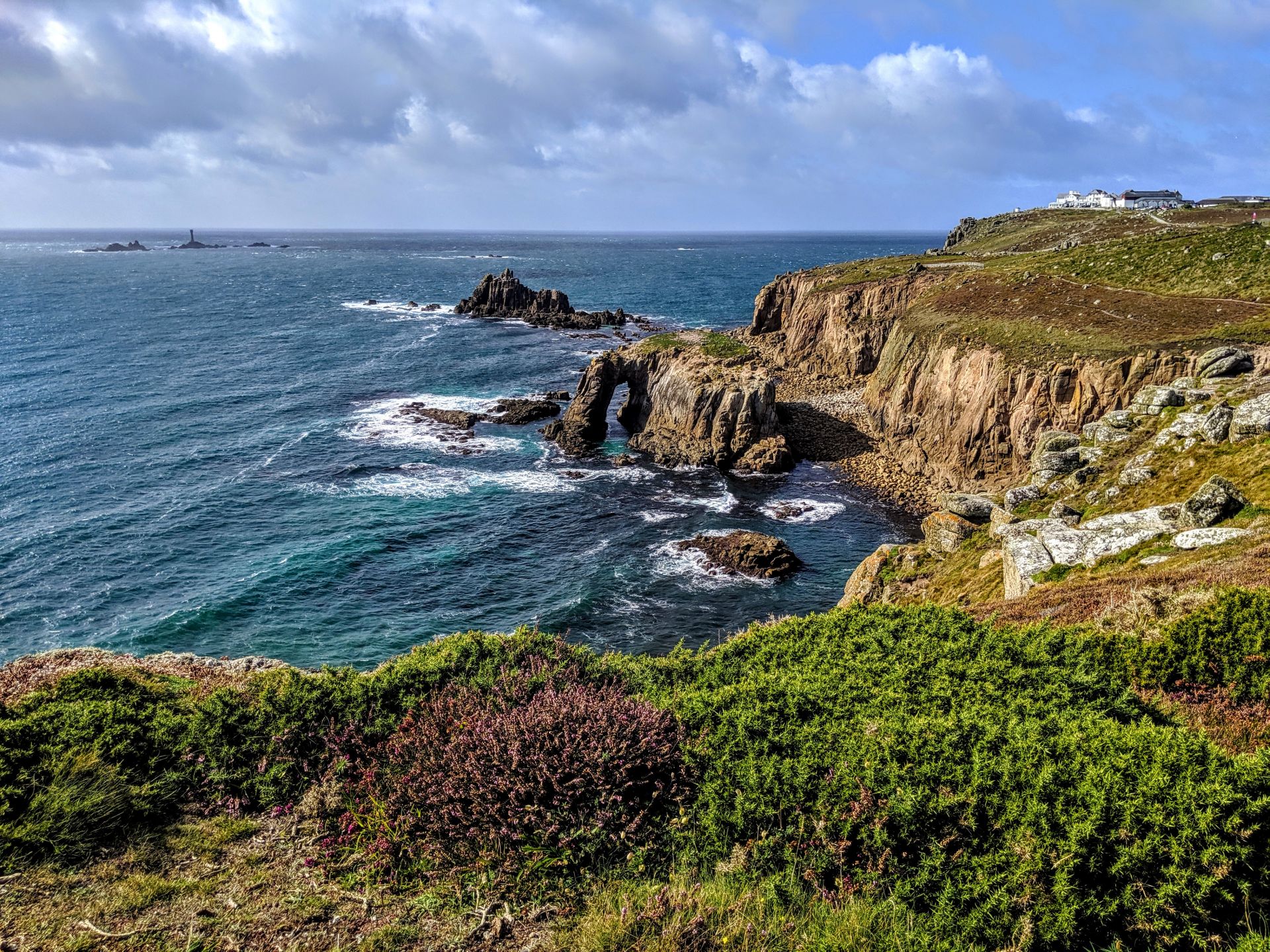
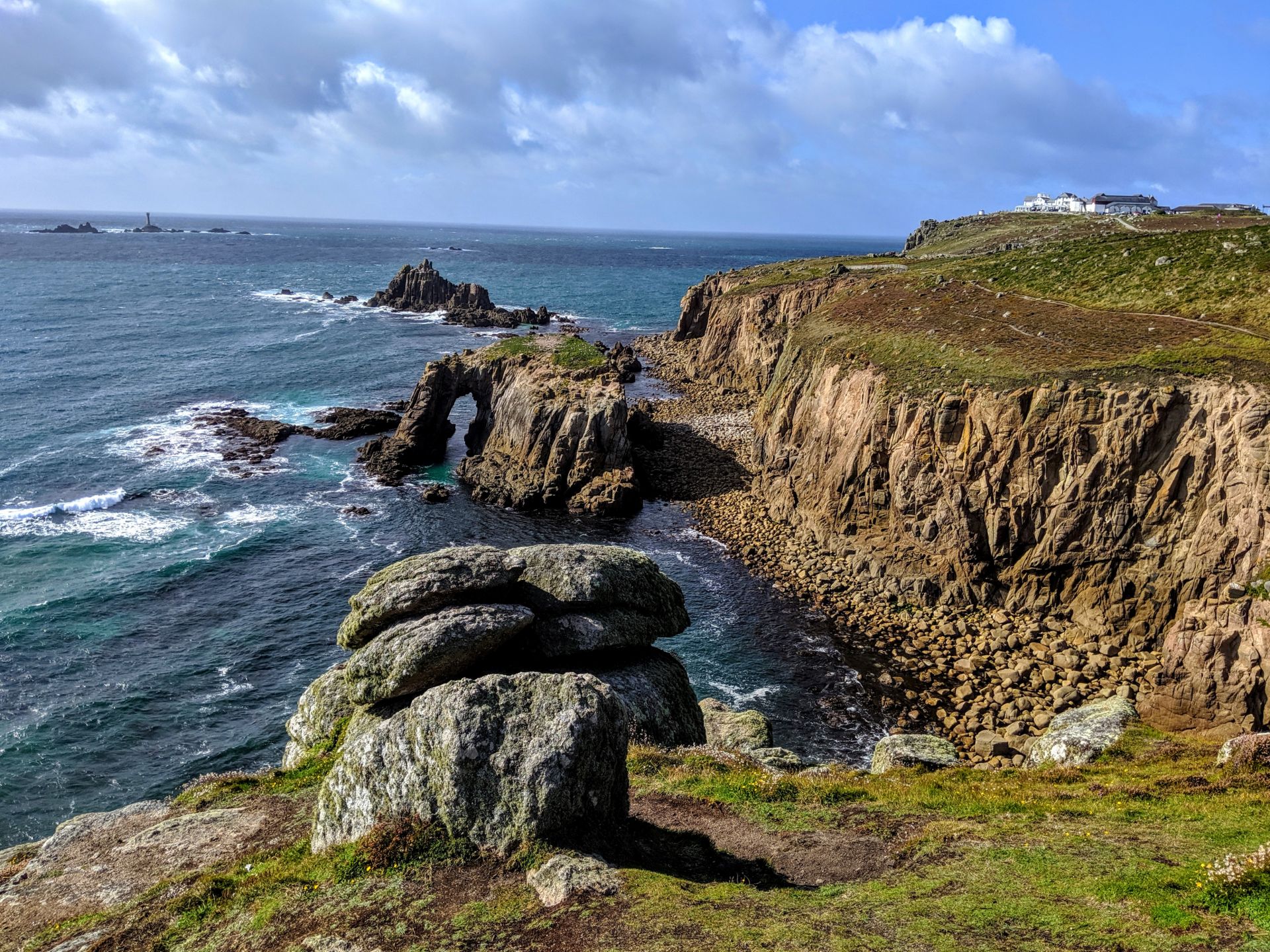
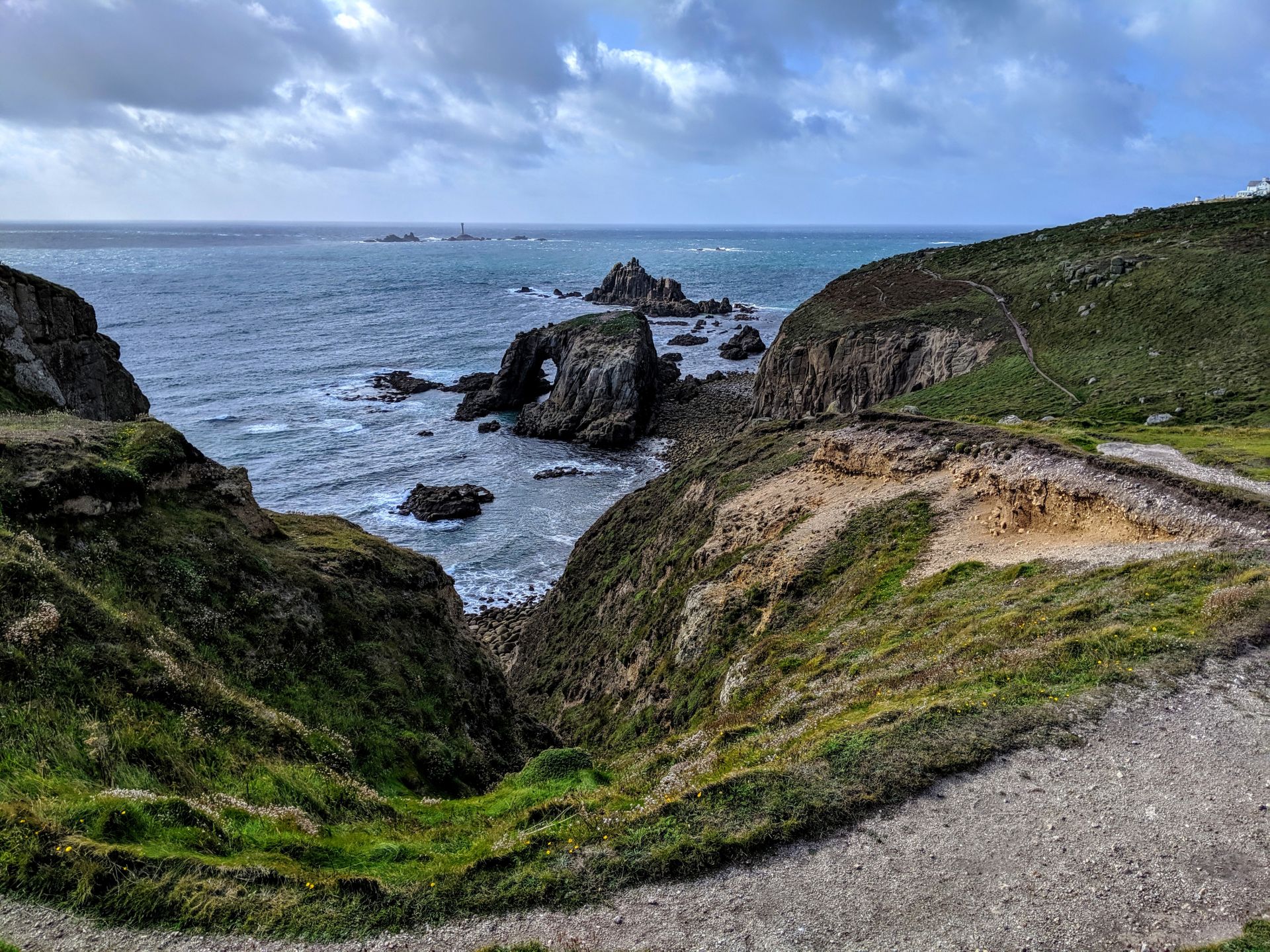
• Watching the seabirds around the Armed Knight and the stunning Enys Dodnan – an offshore stone arch best appreciated when looking back at it.
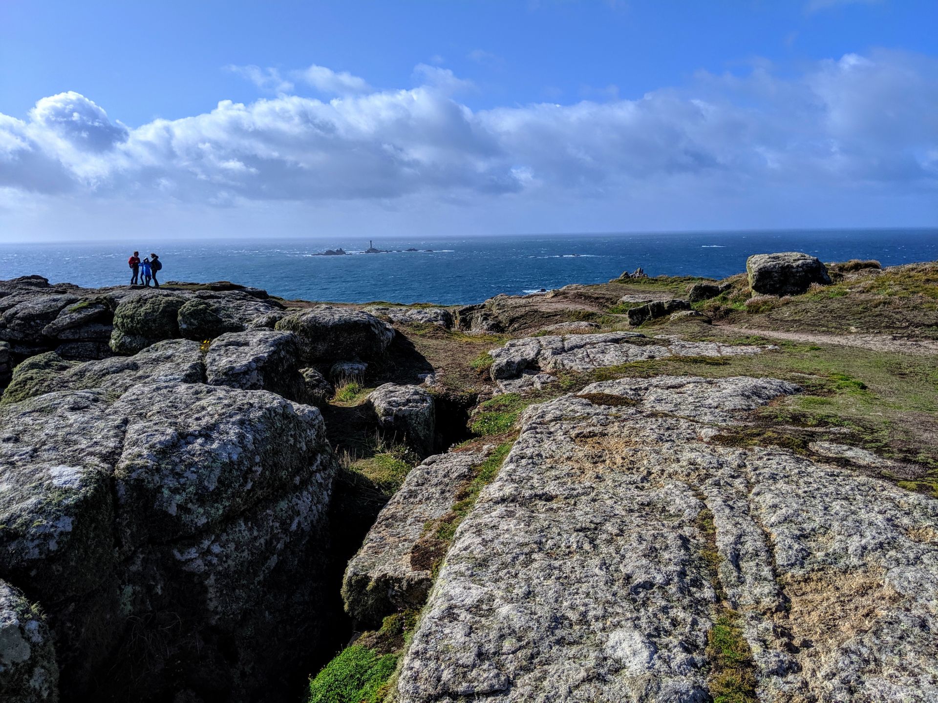
• The view to the Longships Lighthouse, a mile west of Land’s End. Once manned by four men who had to deal with raging seas swamping the lantern, it was replaced in 1875 by a 35 metre tower and eventually automated in 1988.
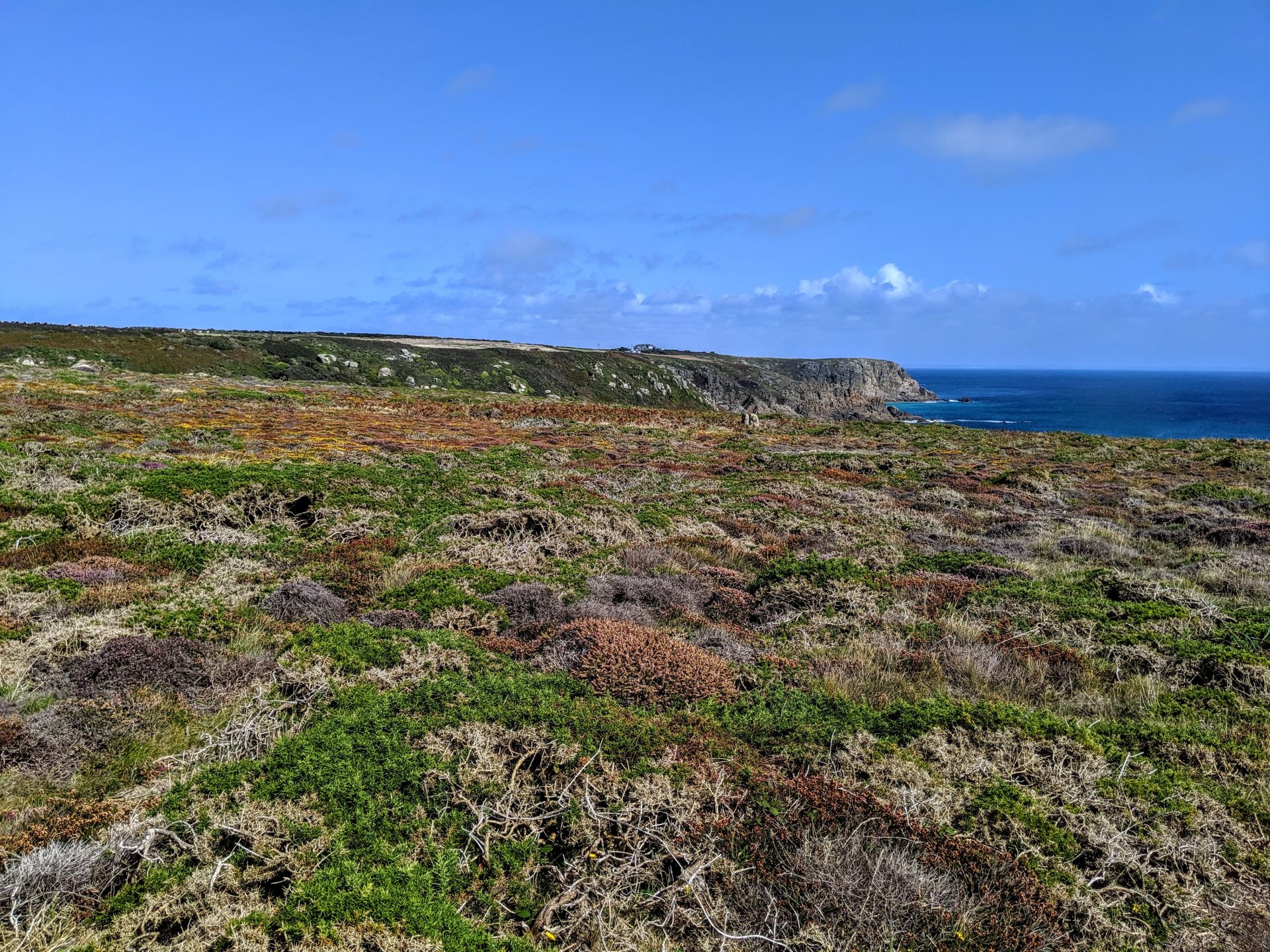
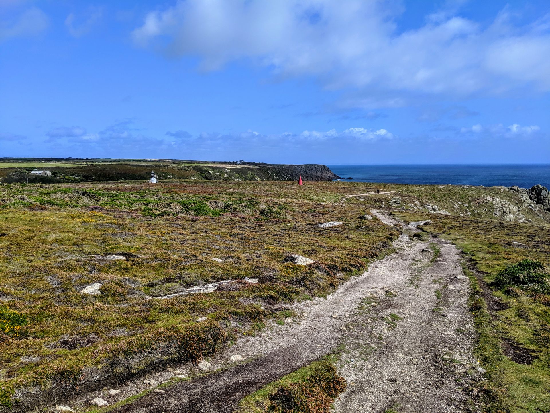
• National Coastguard Institution – Gwennap Head: a cliff castle once stood here and now it is the site of a National Coastwatch Station, undoubtedly due to the fact that this headland provides an extensive view of the rocky coast and busy shipping route. There are also navigation markers on the headland to warn ships of the rock pinnacle known as The Runnel Stone (or Rundle Stone) which is situated about a mile south of Gwennap Head and has been responsible for several wrecks. This area is popular with bird watchers and the granite cliffs make it ideal for climbers.
• St Levan Holy Well: a pre-Christian holy well. The clear water is still sometimes used for baptisms and was once believed to cure eye and tooth problems.
• Resting on the secluded sands of Porth Chapel Beach.
• The stunning location of the world famous open-air Minack Theatre carved into the rock.
Keep a look out for choughs which can sometimes be seen on the headland. After several decades of extinction, a pair of choughs settled in 2001 on the Lizard Peninsula. Since then, the birds have successfully bred and been joined by a few more incoming birds, and the population has steadily grown and spread further across Cornwall. Each Cornish chough is fitted with one leg ring in the colours of St Piran’s flag and two other colours on the opposite leg to identify them.
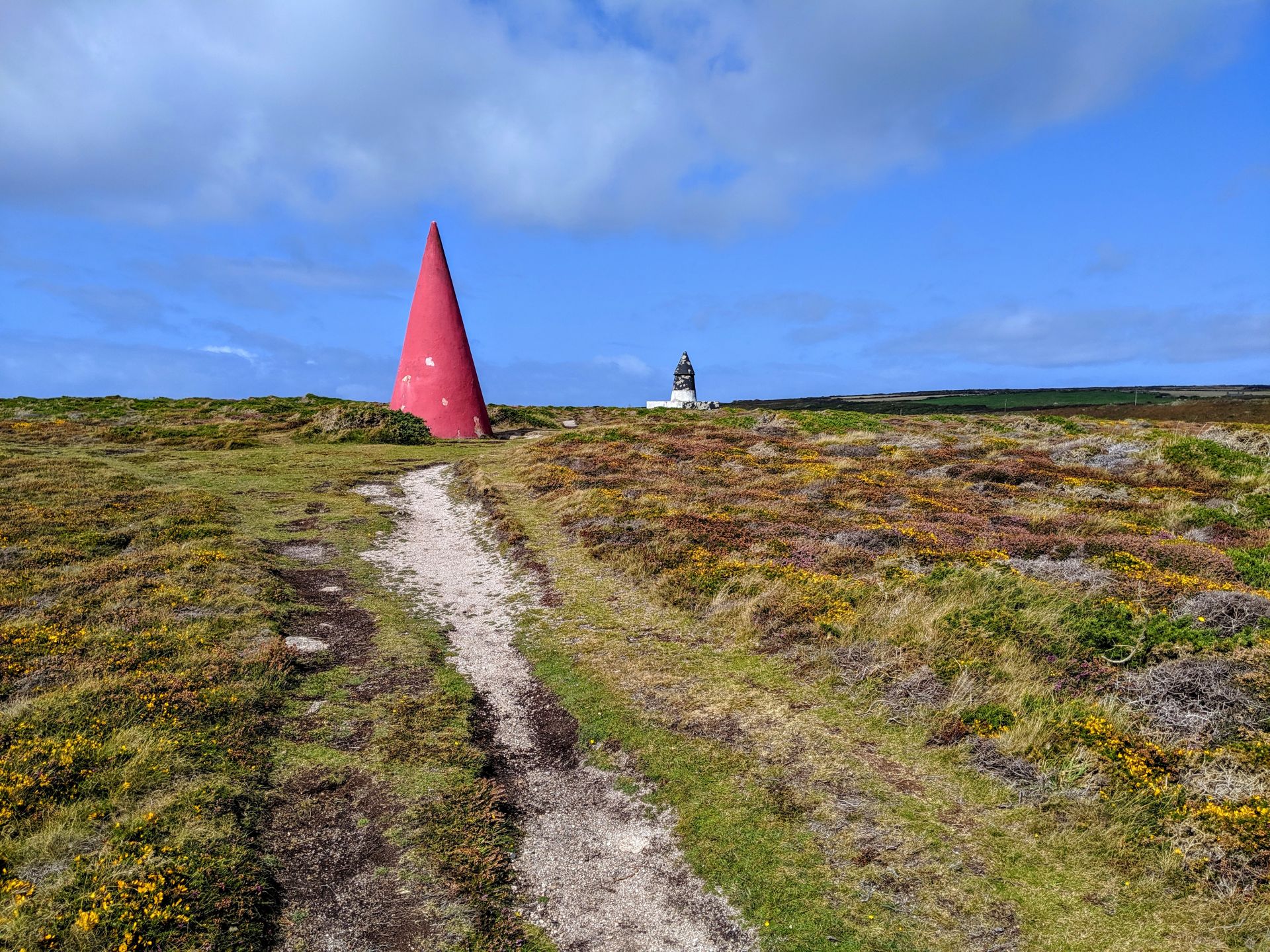
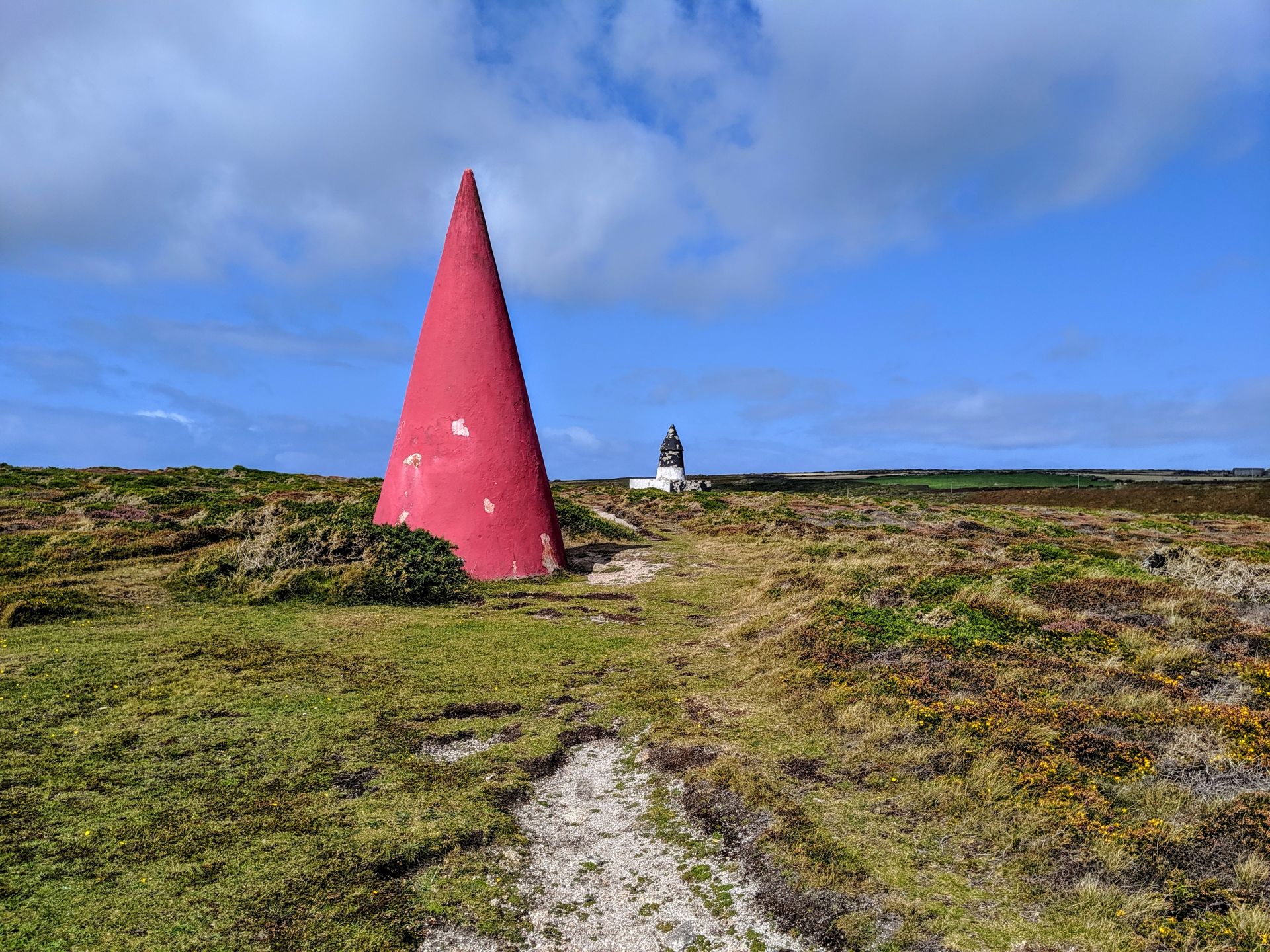
The pair of cones on Gwennap Head are daytime navigation markers, erected in 1821, indicating the position of the Runnel Stone. The innermost marker is painted black and white and when this is completely obscured by the outer red cone, the observing ship would be directly on top of the Runnel Stone. The objective is therefore always to be able to see the black and white marker.
The coastguard station on Gwennap Head was built at the start of the 20th Century and was in service by 1910. When a French fishing boat was wrecked at the foot of the cliffs, it was realised this was invisible from the one-storey station so the second storey was added. Due to cost-cutting in the Coastguard service, the station was closed in 1994. Shortly after this, it was taken over by the National Coastwatch Institute and reopened in 1996.
Wolf Rock is a pinnacle seven miles southwest of Gwennap Head which rises more than 60 metres to break the surface. The rock earned its name from the howling sound caused by gale force winds blowing through fissures in the rock.In the 1830s, a beacon was built on the rock which has survived into the 21st Century. The beacon consists of a metal cone, just under 5 metres in diameter and height, constructed of iron plates and filled with cement rubble. The difficulties of building this were enormous: during 5 years, there were only 302 hours during which work could be carried out. Work on a 25 metre lighthouse began in 1861 and took 8 years to complete. It is constructed of granite quarried at Lamorna Cove and until 1988, it was manned.
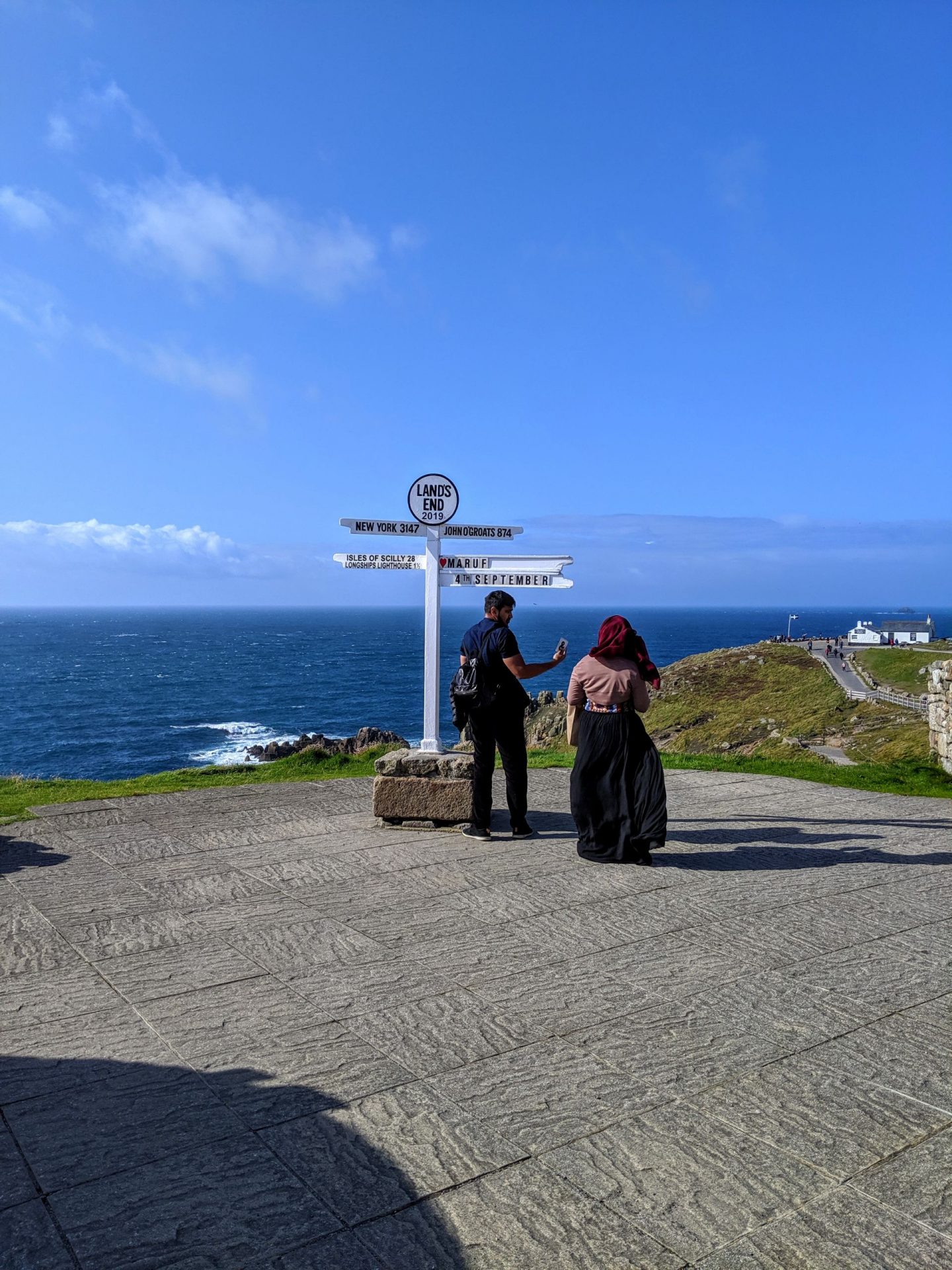
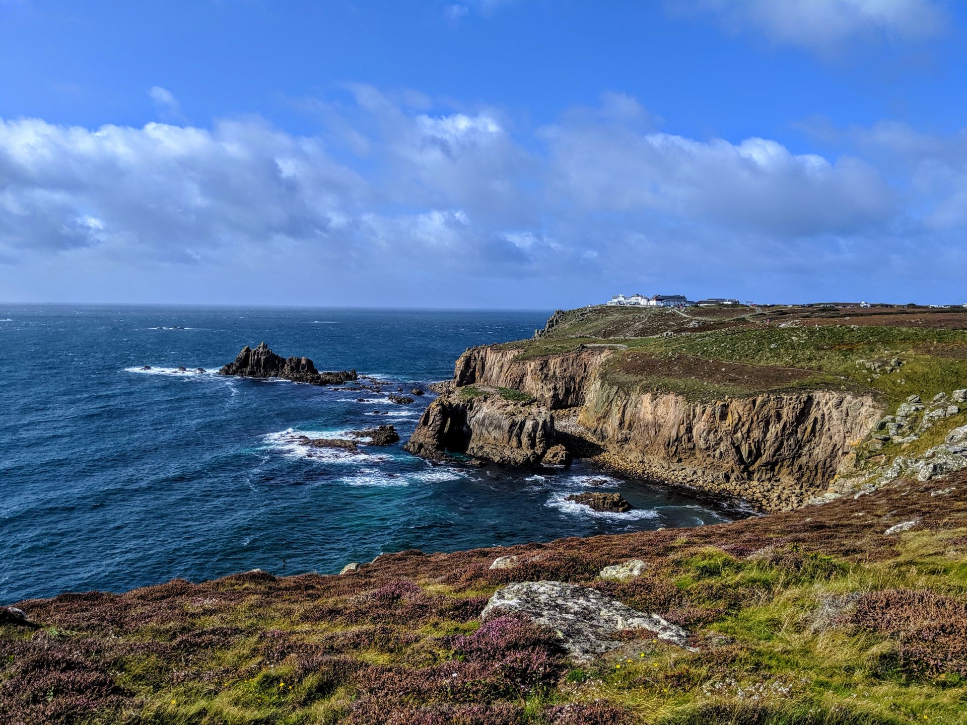
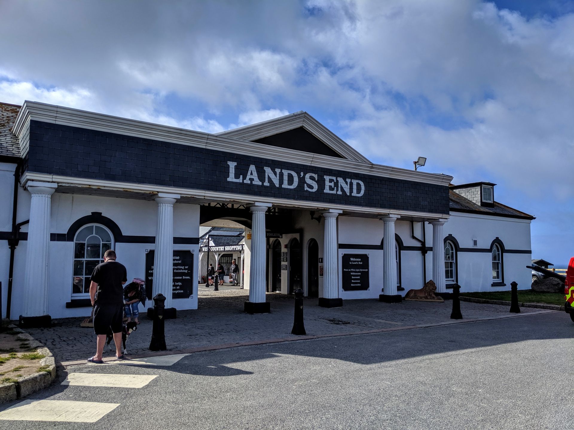
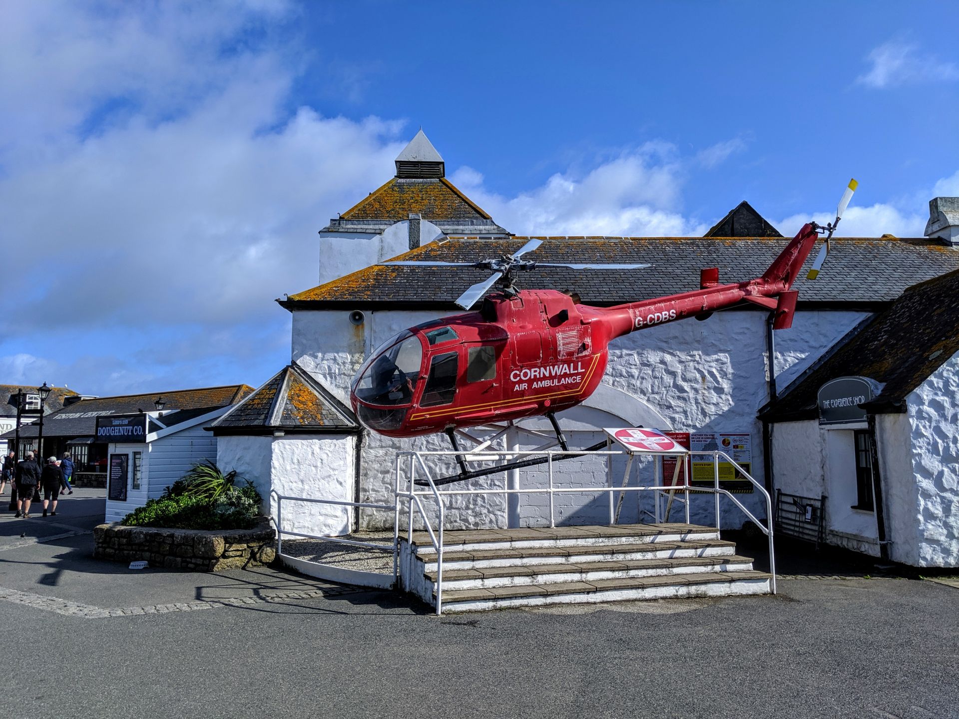
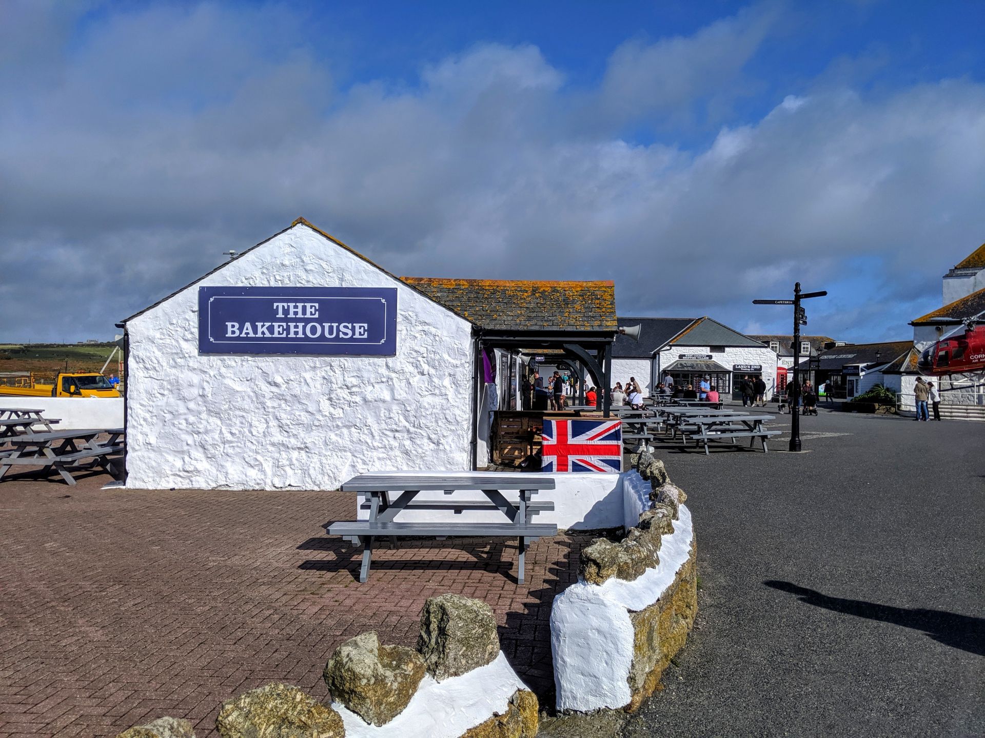
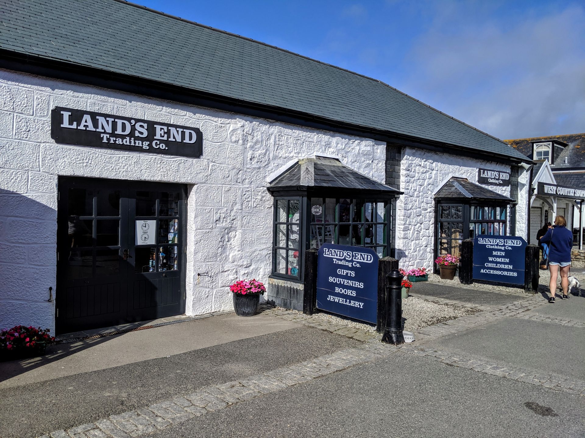
If I never return to Lands End in my lifetime I will be more than happy with that! After spending the day virtually on my own, walking through Lands End was like walking through a nightmare!
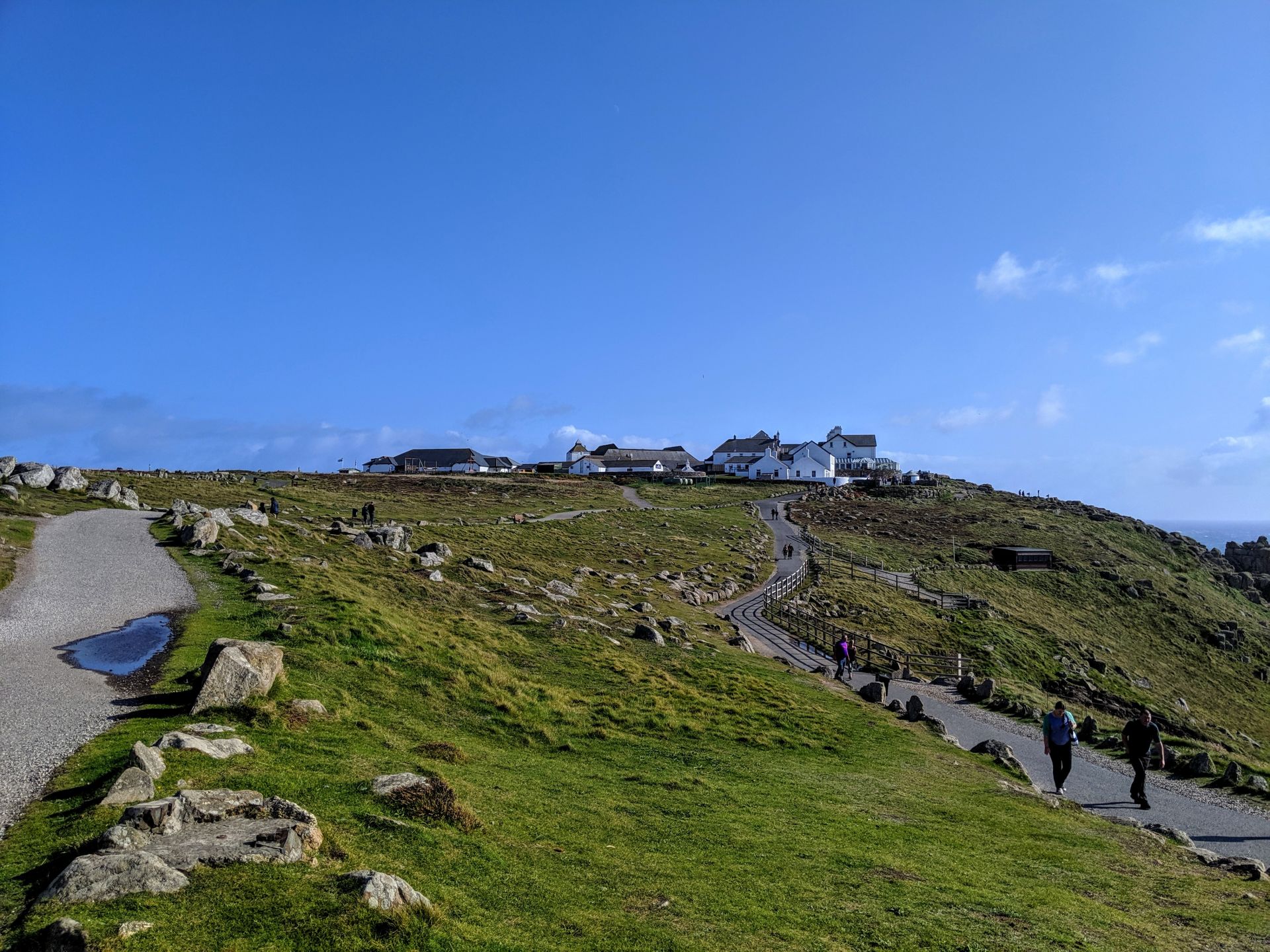
Land’s End is a headland at the most westerly point of mainland Cornwall and England. It is situated on the Penwith peninsula and often associated with distance. The famous landmark sign at Land’s End, where you can have your picture taken under it, points to New York 3147 miles, to John O’Groats in Scotland 874 miles and the Isles of Scilly 28 miles . The distance between Land’s End and John O’Groats is 838 miles by road and often used to define races, walks or charitable events in the UK. The headland has been designated as an important Plant Area by the organisation Plantlife for rare species of flora.
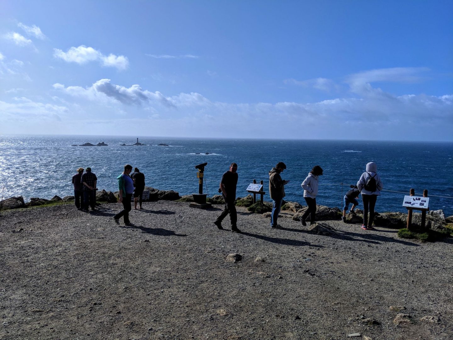
The Longships Lighthouse is located just over a mile off Land’s End on the highest of the islets known as Carn Bras. The original tower built in 1795 was 40ft high, perched on the 39ft high rock but despite the lantern being nearly 80ft above the sea, it was sometimes obscured by the huge waves off Lands End. A new taller tower was therefore constructed starting in 1869 and completed in 1873 and was manned until 1988. The current lantern emits a white flash seaward, but red-tinted glass colours the light for any vessel straying to the headlands to the north or south.
The Scilly Isles lie 28 miles off Lands End and can be seen with the naked eye on a clear day. Scilly has been inhabited since the Stone Age and the inhabitants originally spoke the Celtic (Cornish) language. It is thought that possibly even as recently as Roman times, the 55 islets were once part of one large single island that has since been flooded by rising sea levels. During low spring tides, it is still possible to wade between some of the islands.
