“Walking is the great adventure, the first meditation, a practice of heartiness and soul primary to humankind. Walking is the exact balance between spirit and humility”. -Gary Snyder
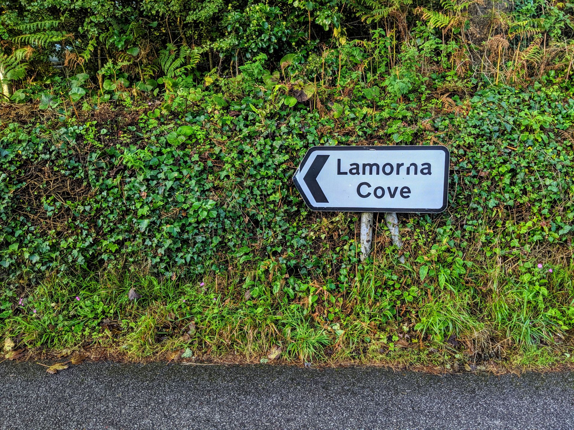
Day three I hiked from Lamorna Cove to Sennen Cove which was in fact the opposite way to which I had been going, for two days I would finish in Sennon Cove, the only reason for this was because of the buses, it was either start early or late morning and because I still wasn’t sure if I could walk three days on the run I opted for the early morning bus which was an hours ride!
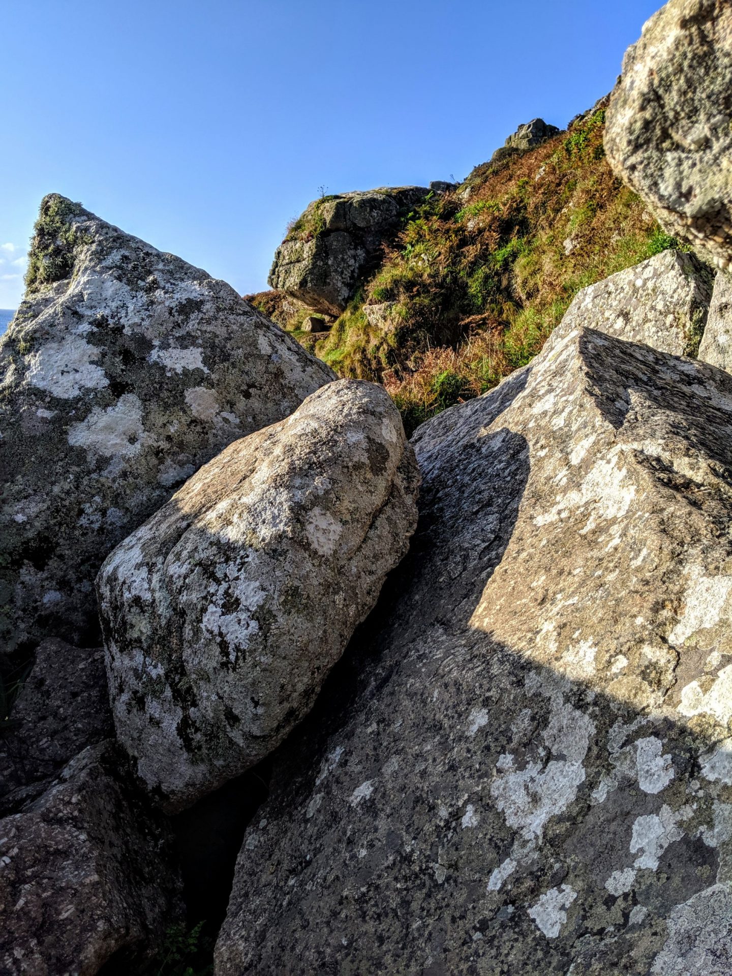
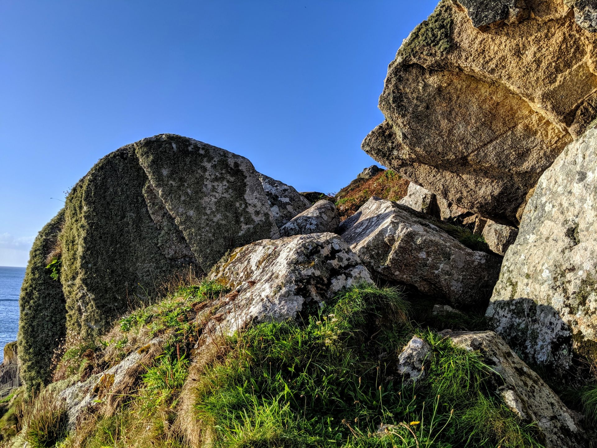
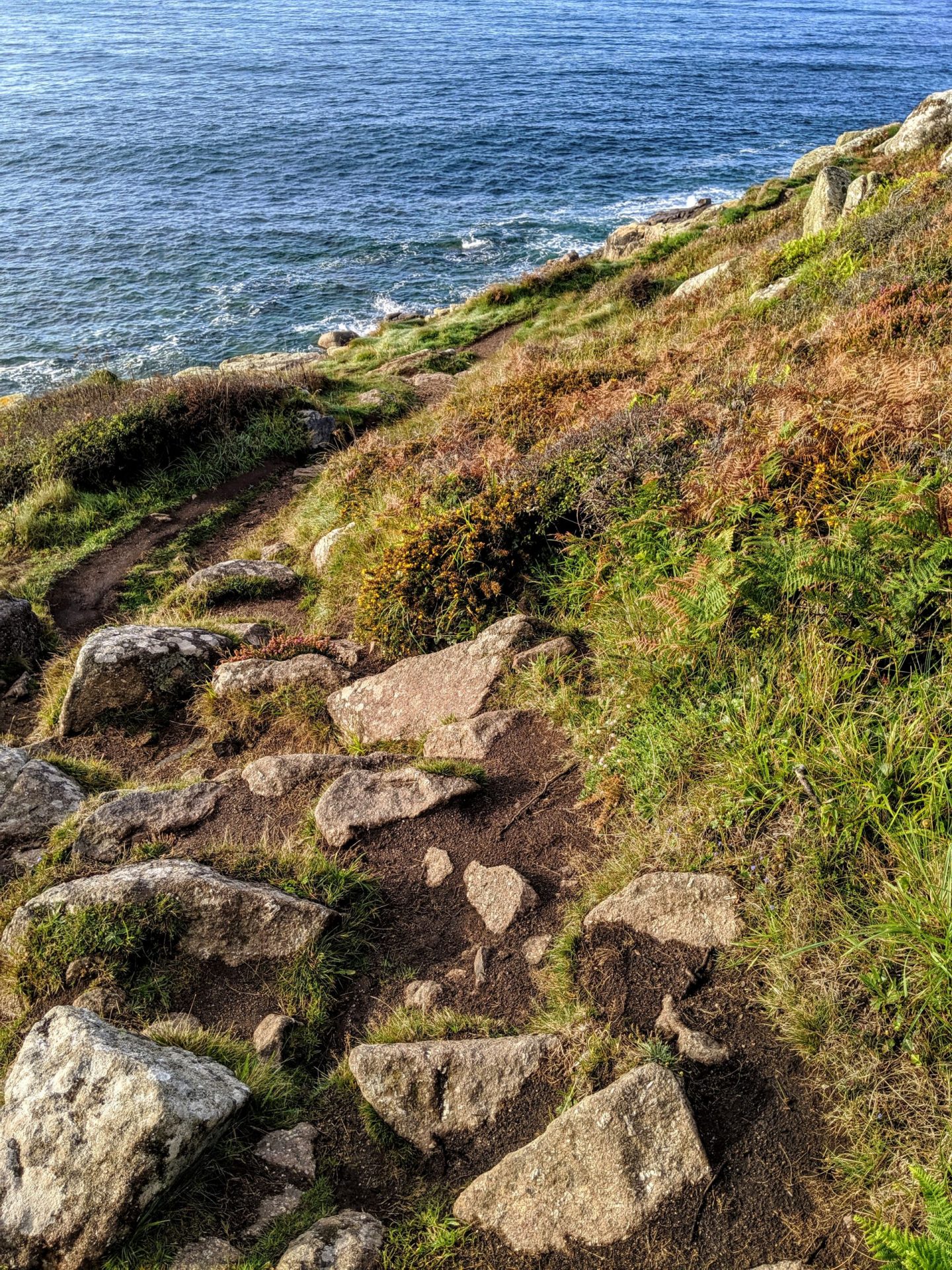
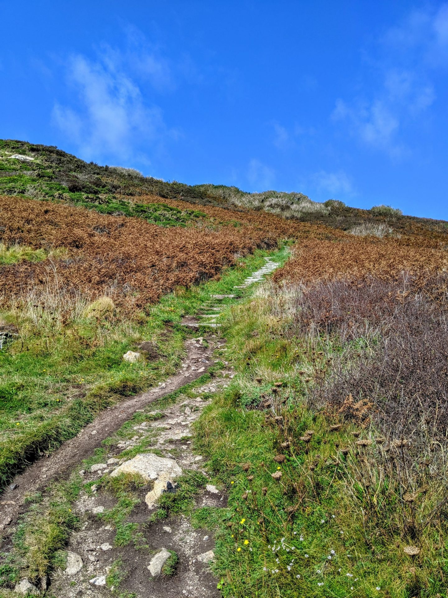
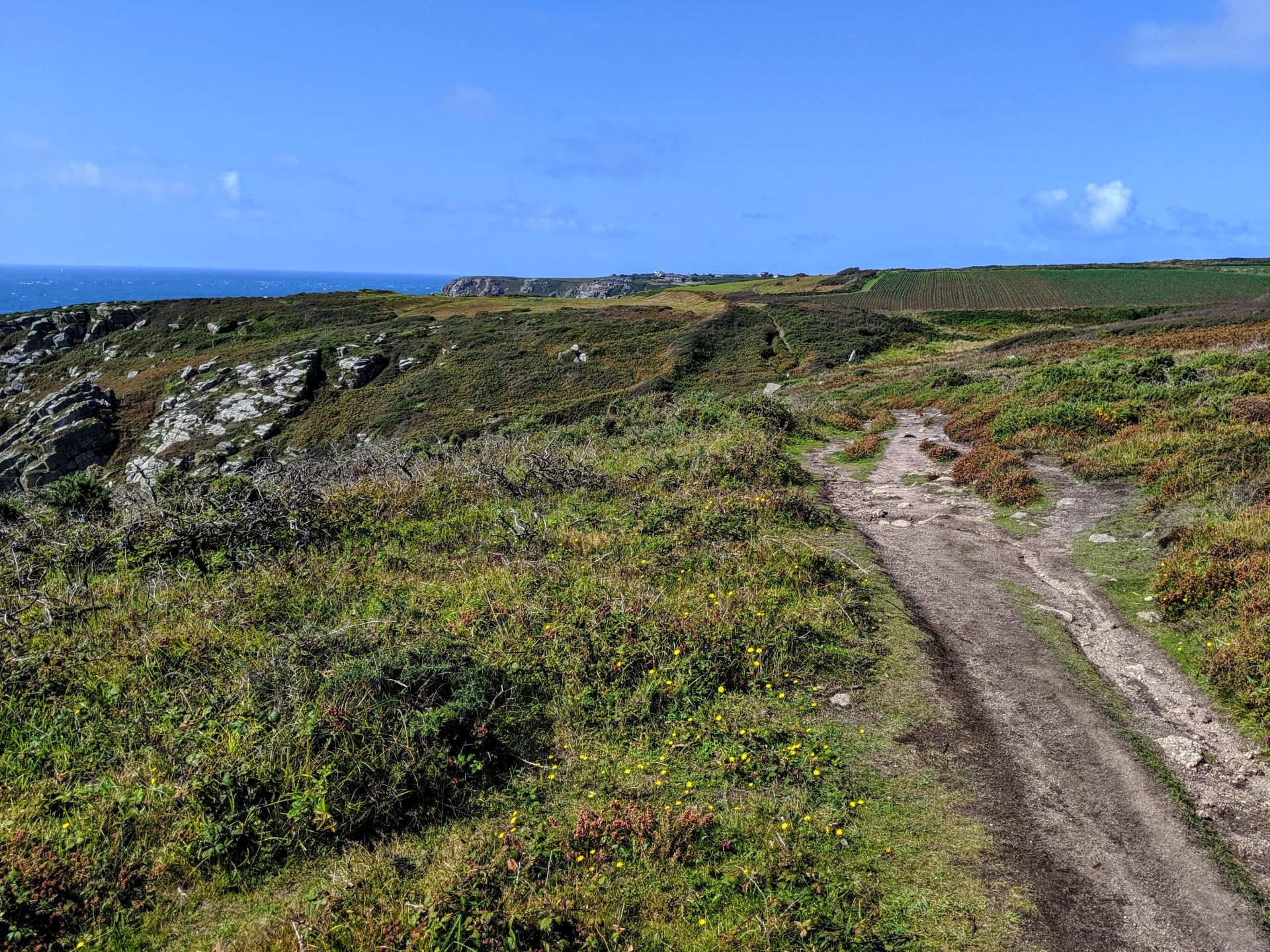
At 11.7 miles the walk is described as, Challenging – Moderate to strenuous. This section is undulating but mostly good underfoot. The strenuous rating is for the last mile approaching Lamorna, where the Coast Path negotiates its way through a jumble of granite boulders. But because I was doing this the opposite way I had the challenging section first which suited me down to the ground, no one wants challenging as your legs are starting to ache.
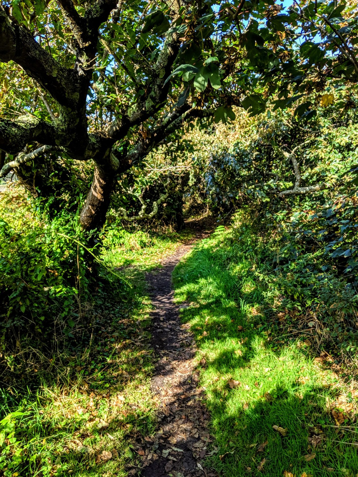
I have never done a walk before that changes so often under foot! I have to admit I really enjoyed the climbing aspect of this section of the walk! And waking up with sore arms was a welcome change to sore legs.
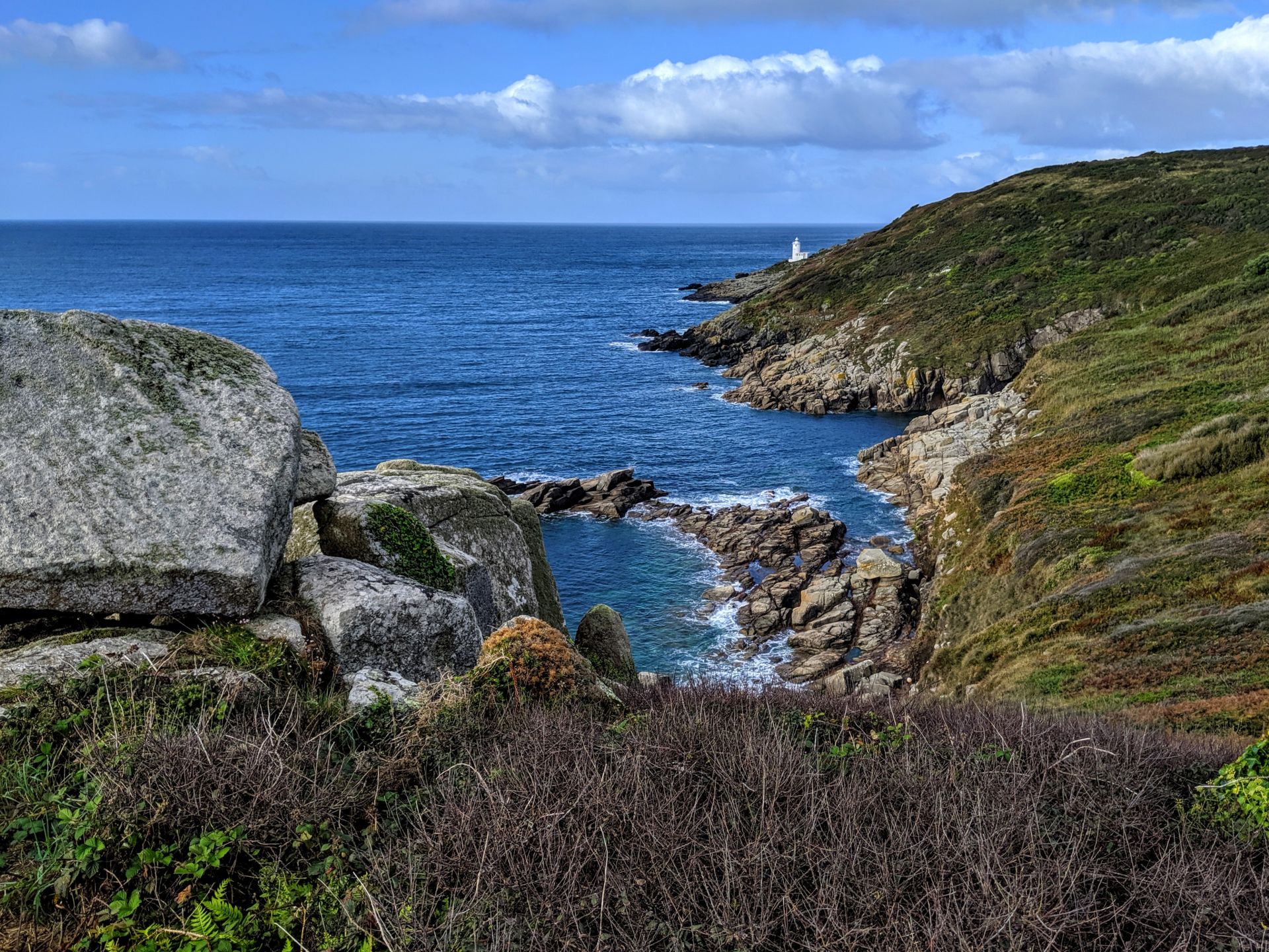
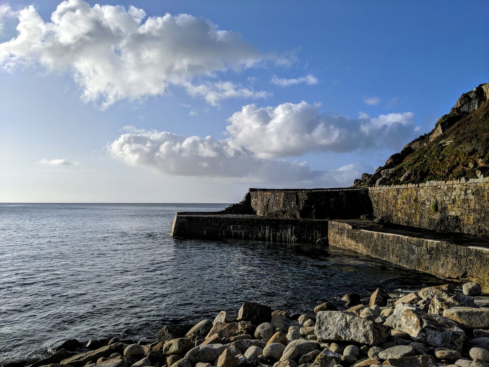
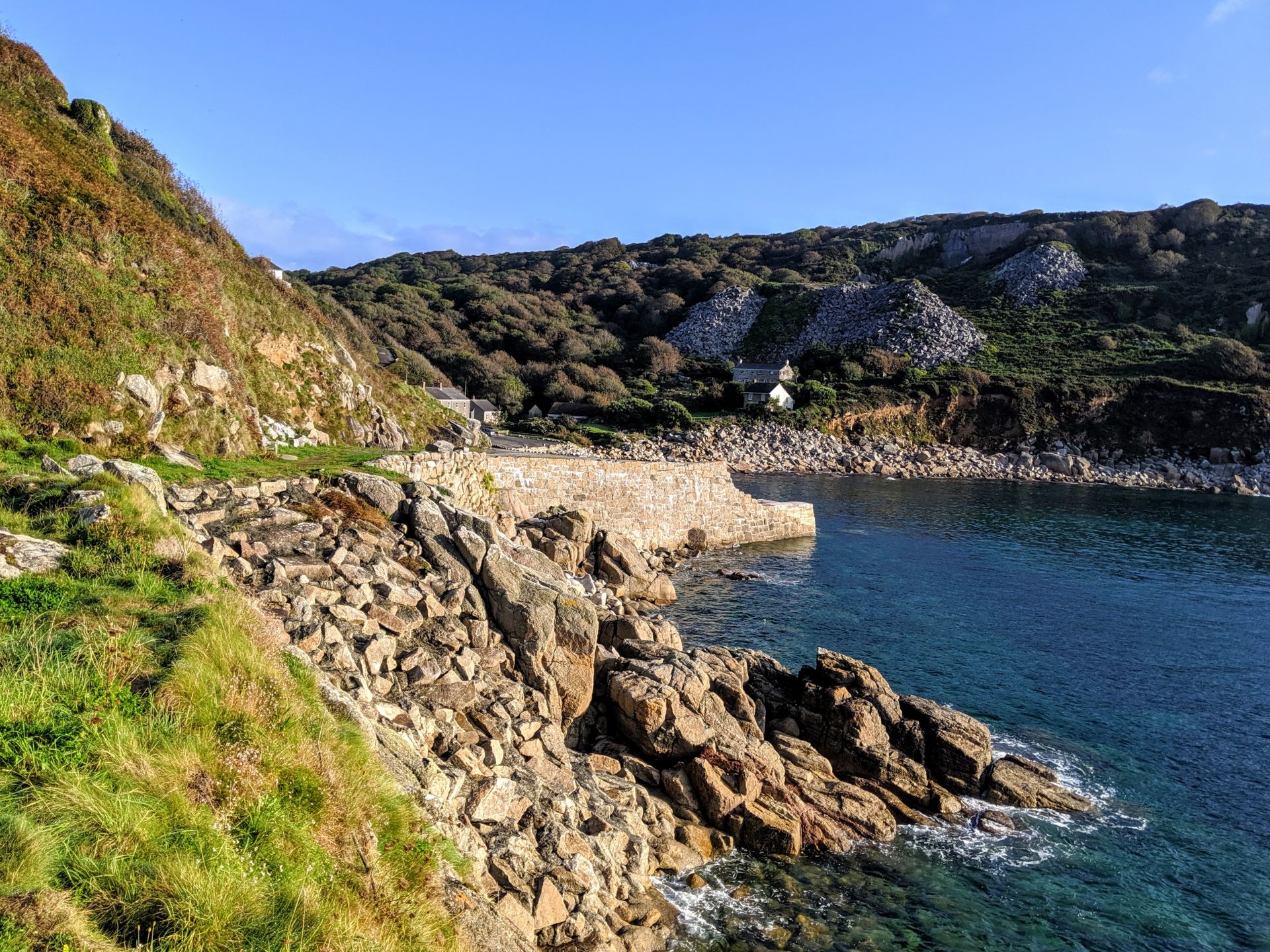
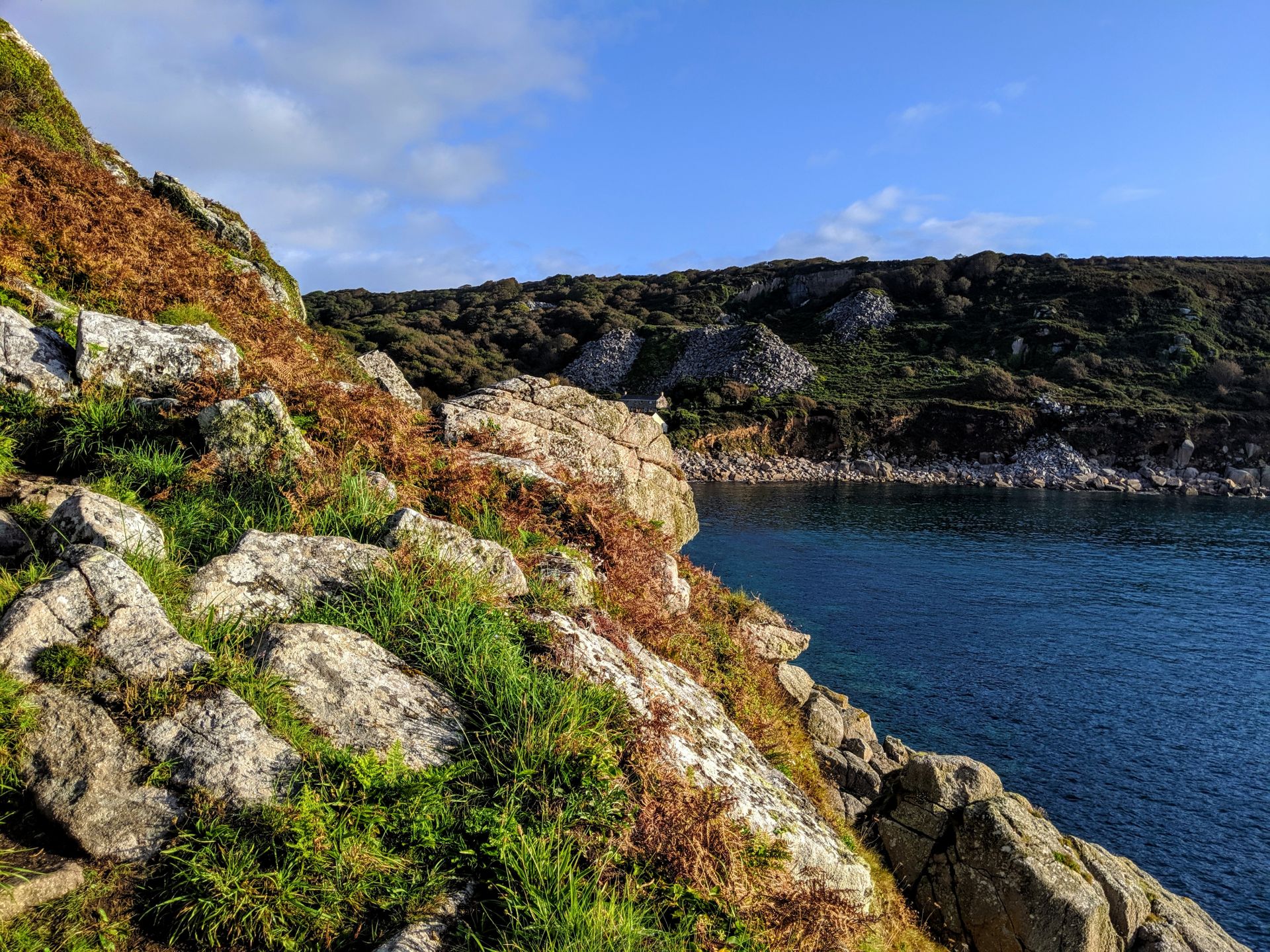
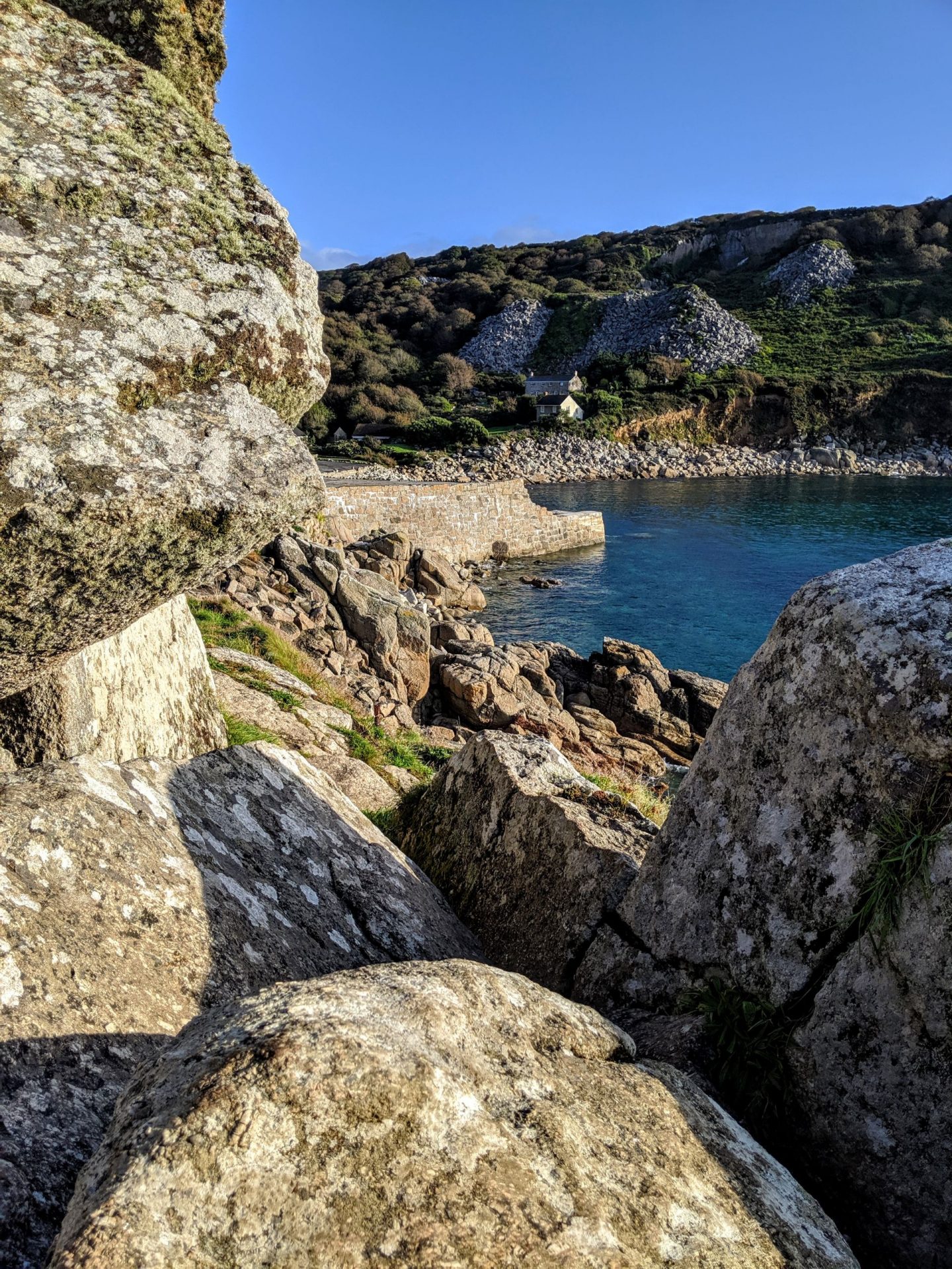
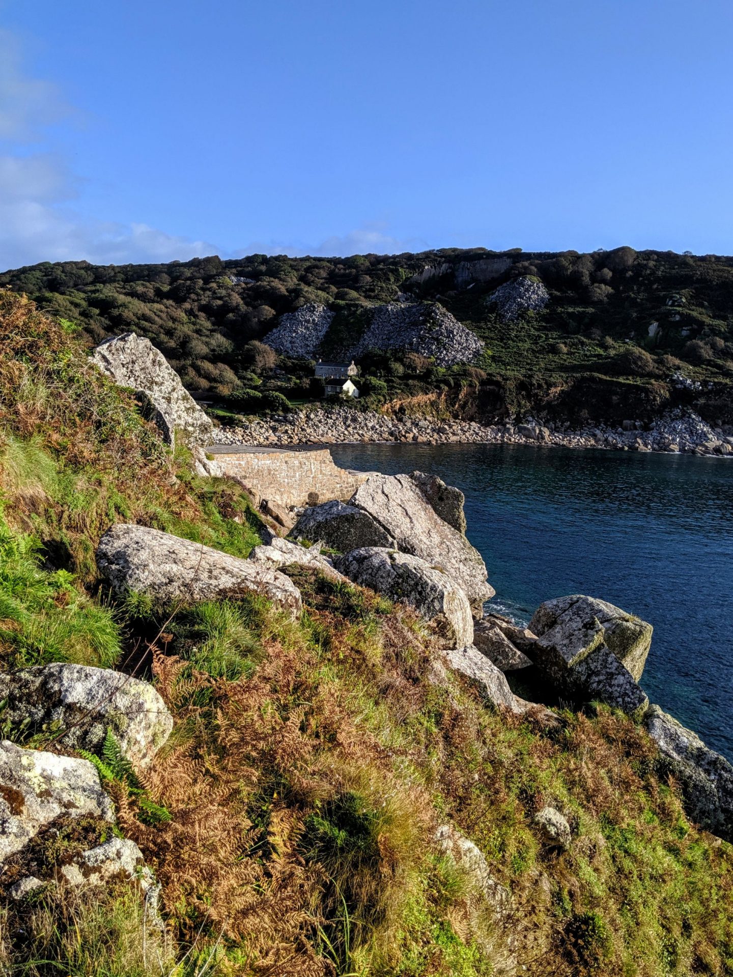
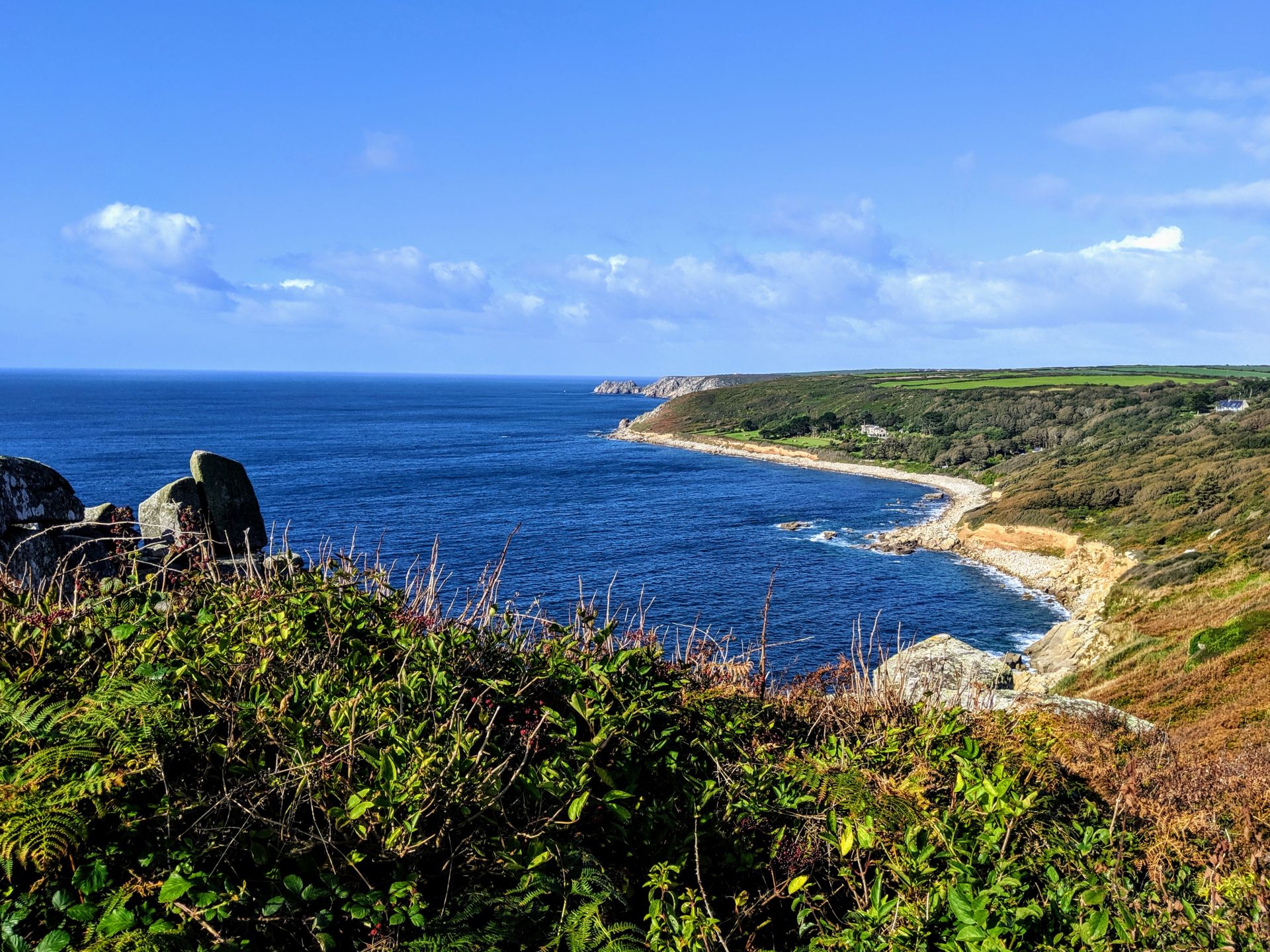
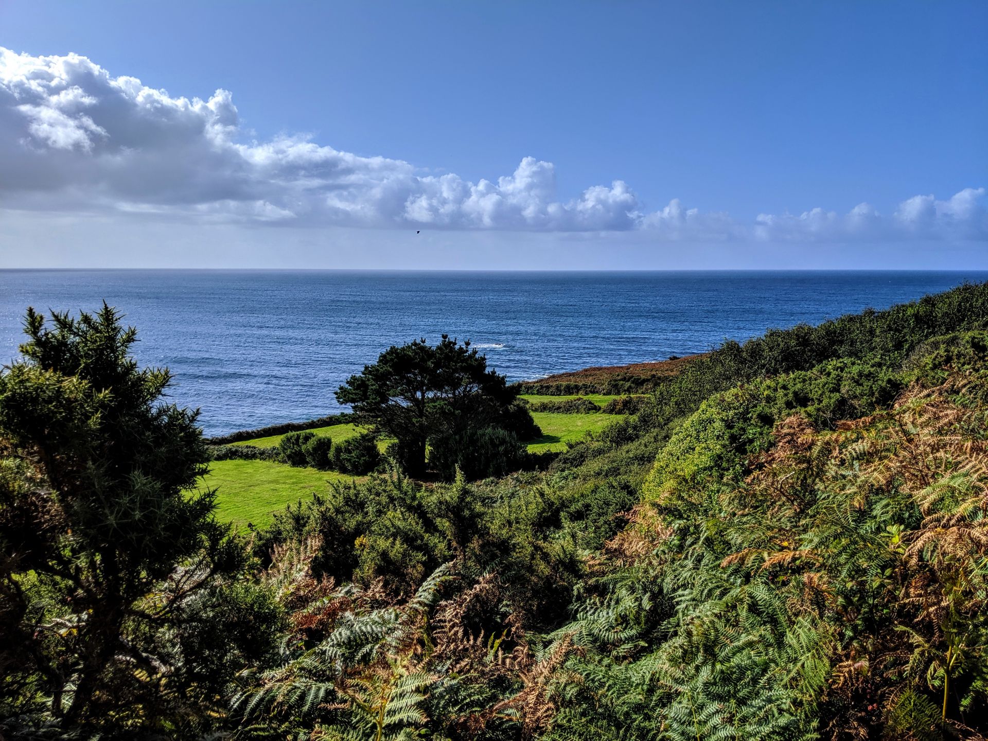
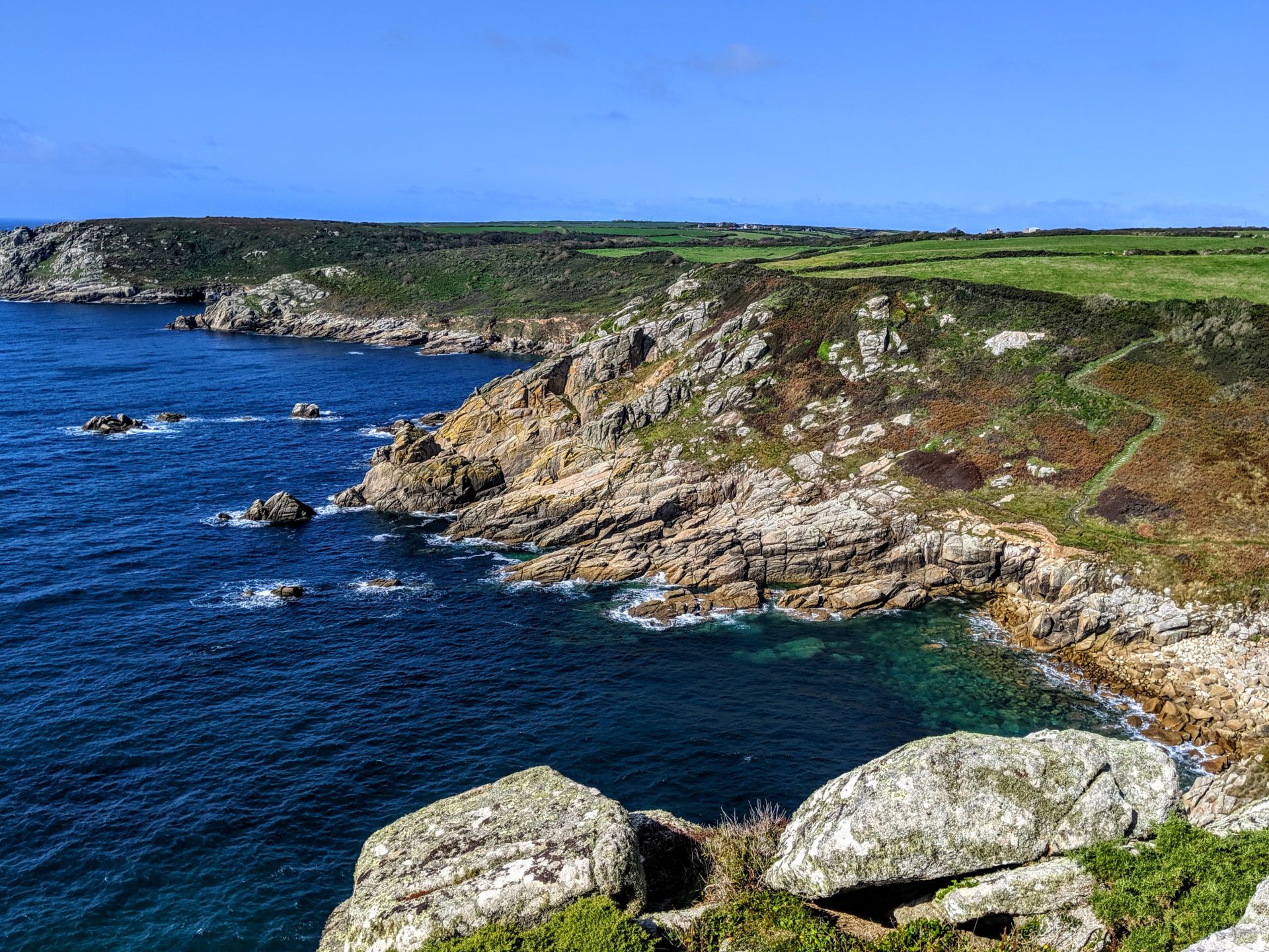
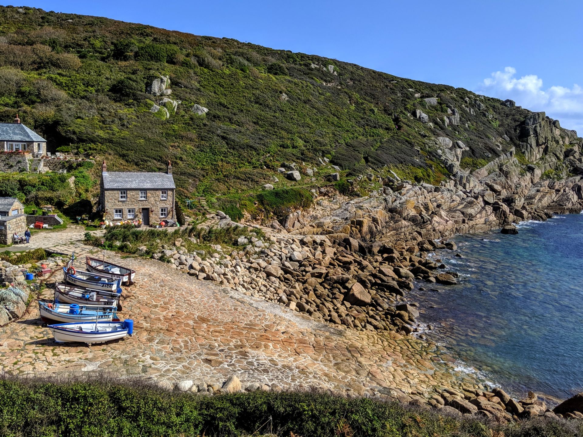
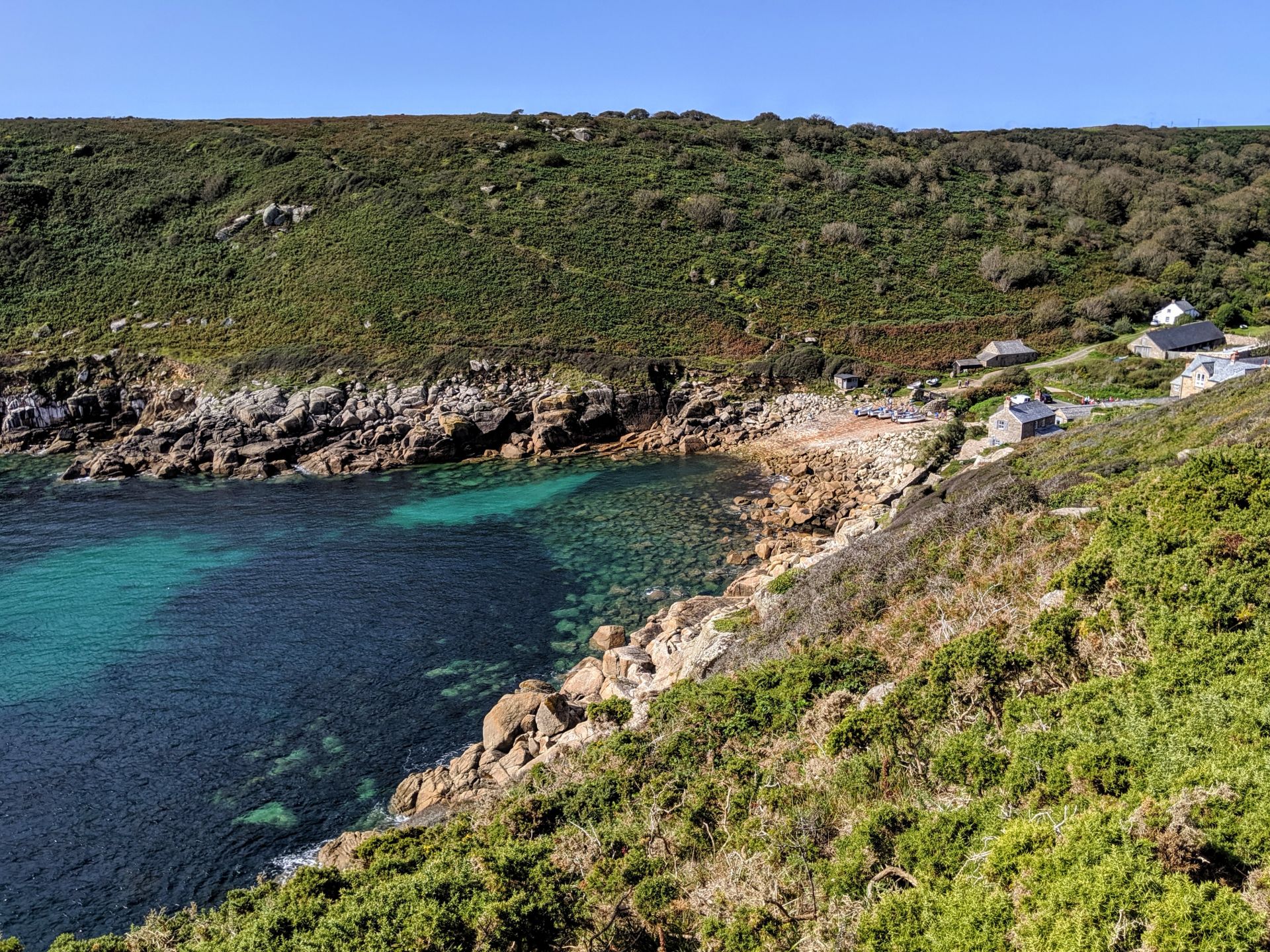
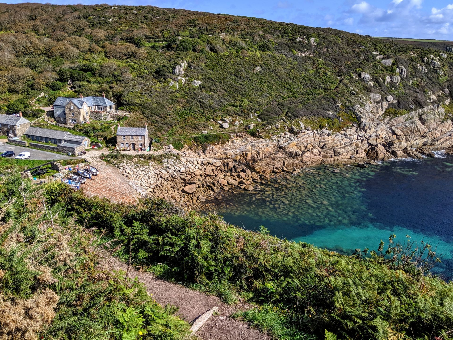
There’s not really much to Lamorna Cove: a few houses, a cafe and shop and a ruined quay – and a surprising amount of car parking. We climbed up past the car parks to embark upon a very rocky path towards the headland of Lamorna Point. Above is the view from Carn Mellyn to Carn-du on the other side of the cove.
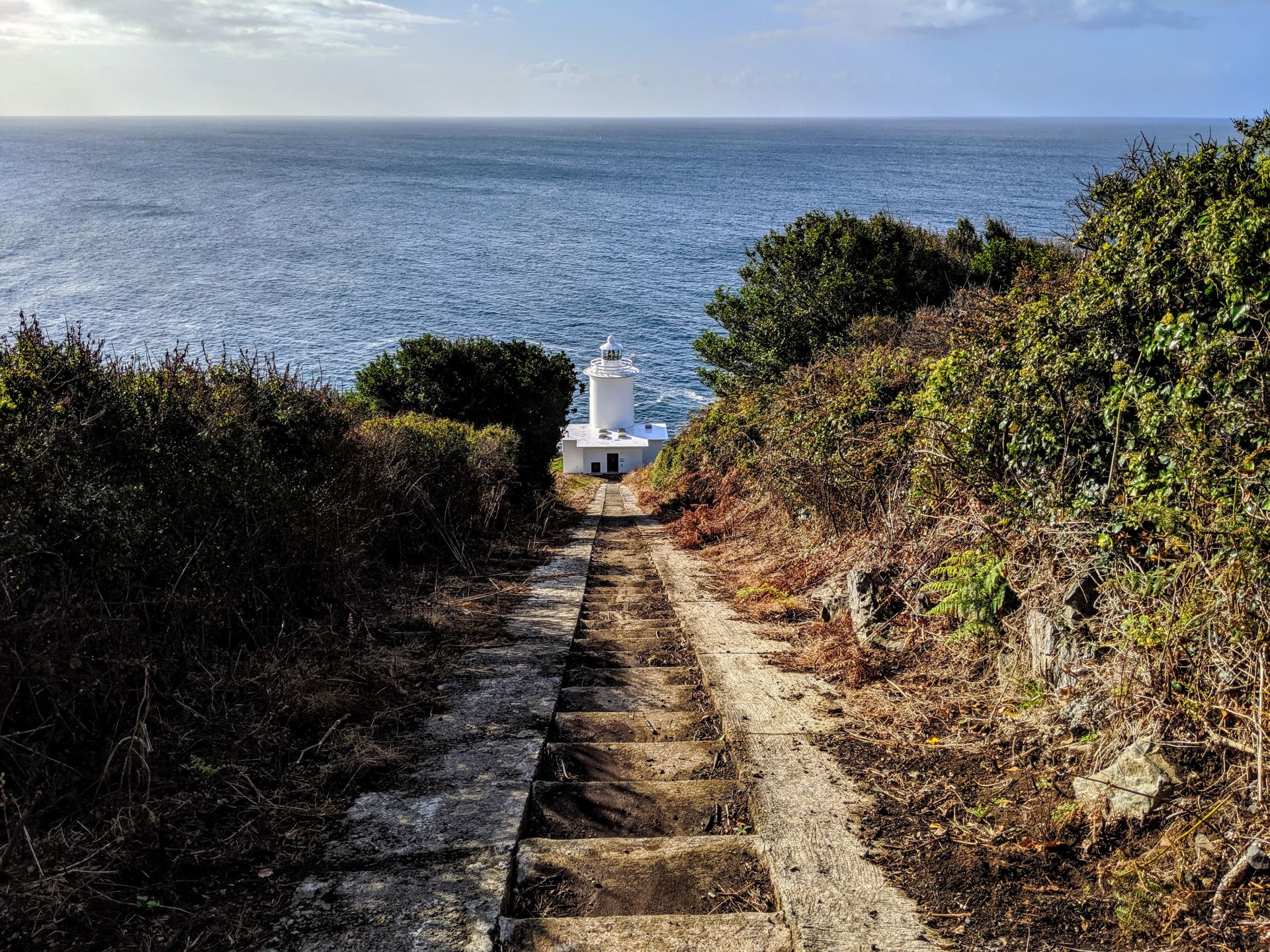
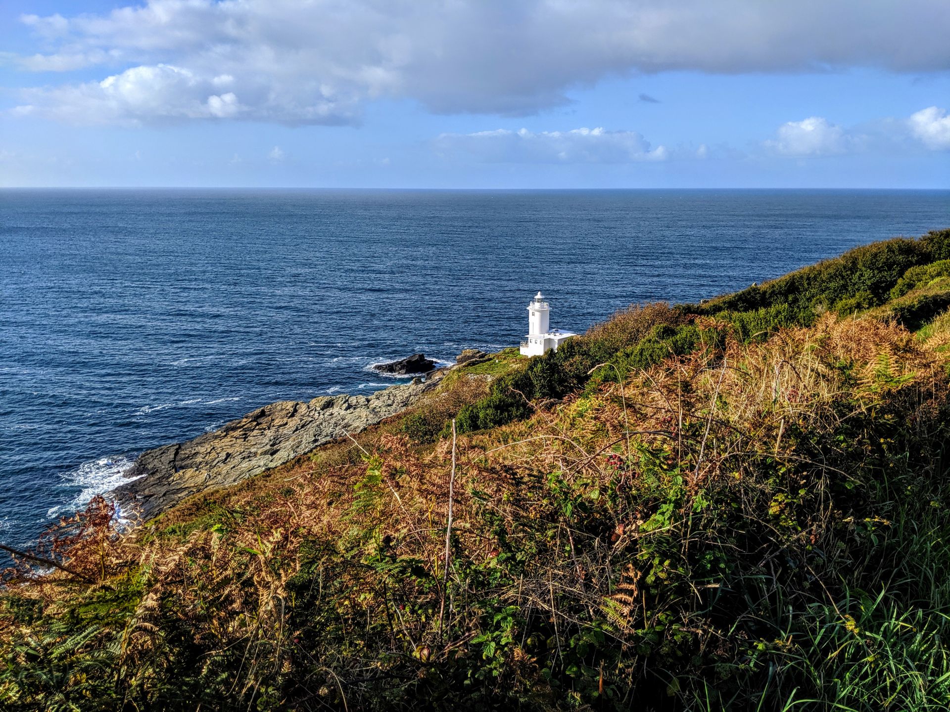
The Tater Du Lighthouse was the last lighthouse to be built in Cornwall, in 1965, as an automatic installation and was opened by the Duke of Gloucester. The tower is 15 metres high, 34 metres above the sea at high water. Every 15 seconds its main white light flashes 3 times and the red sector flashes 4 times. The main light can be seen for 23 nautical miles and the sector light for 13 miles. It was constructed to warn sailors of the Runnelstone Reef, just offshore, after the Spanish coaster, the Juan Ferrer, went down with all hands at Boscawen Point two years before. ‘Tater Du’ comes from the Cornish ‘torthel du’, meaning ‘black loaf’. ‘Boscawen’ means ‘house by the elder trees’.
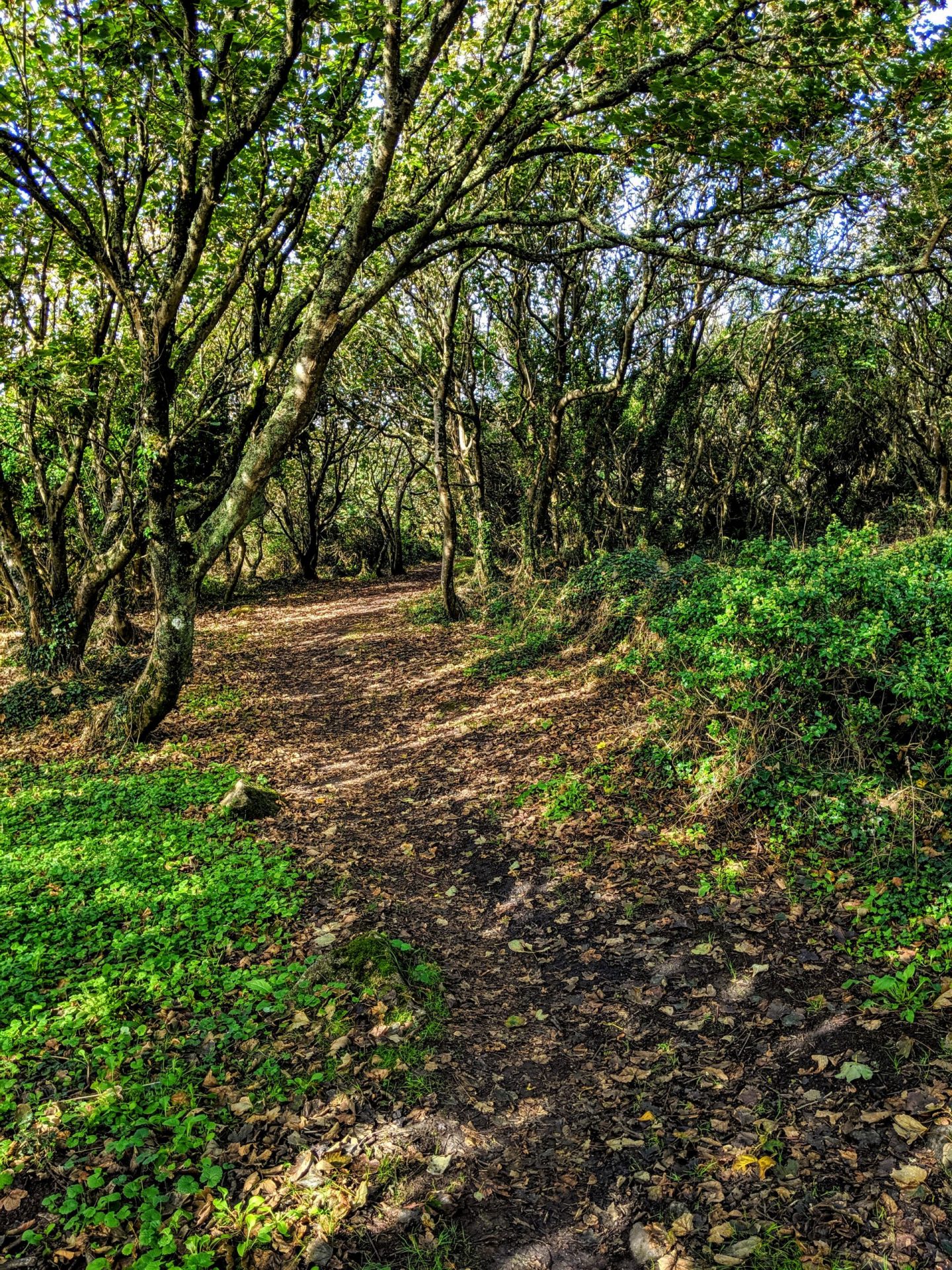
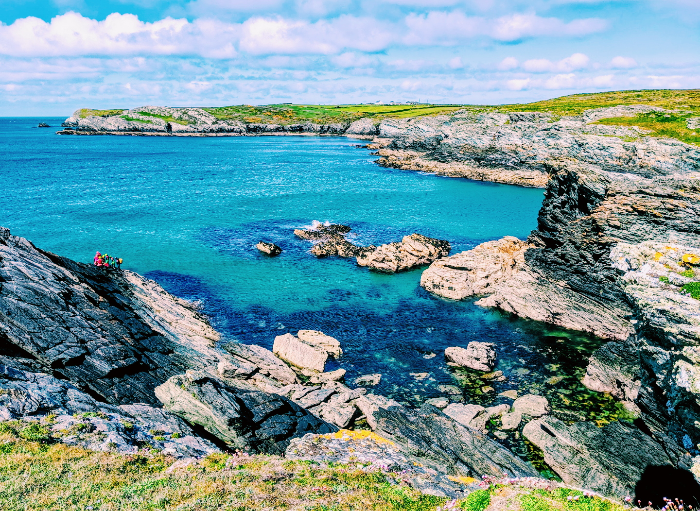
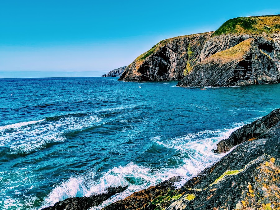
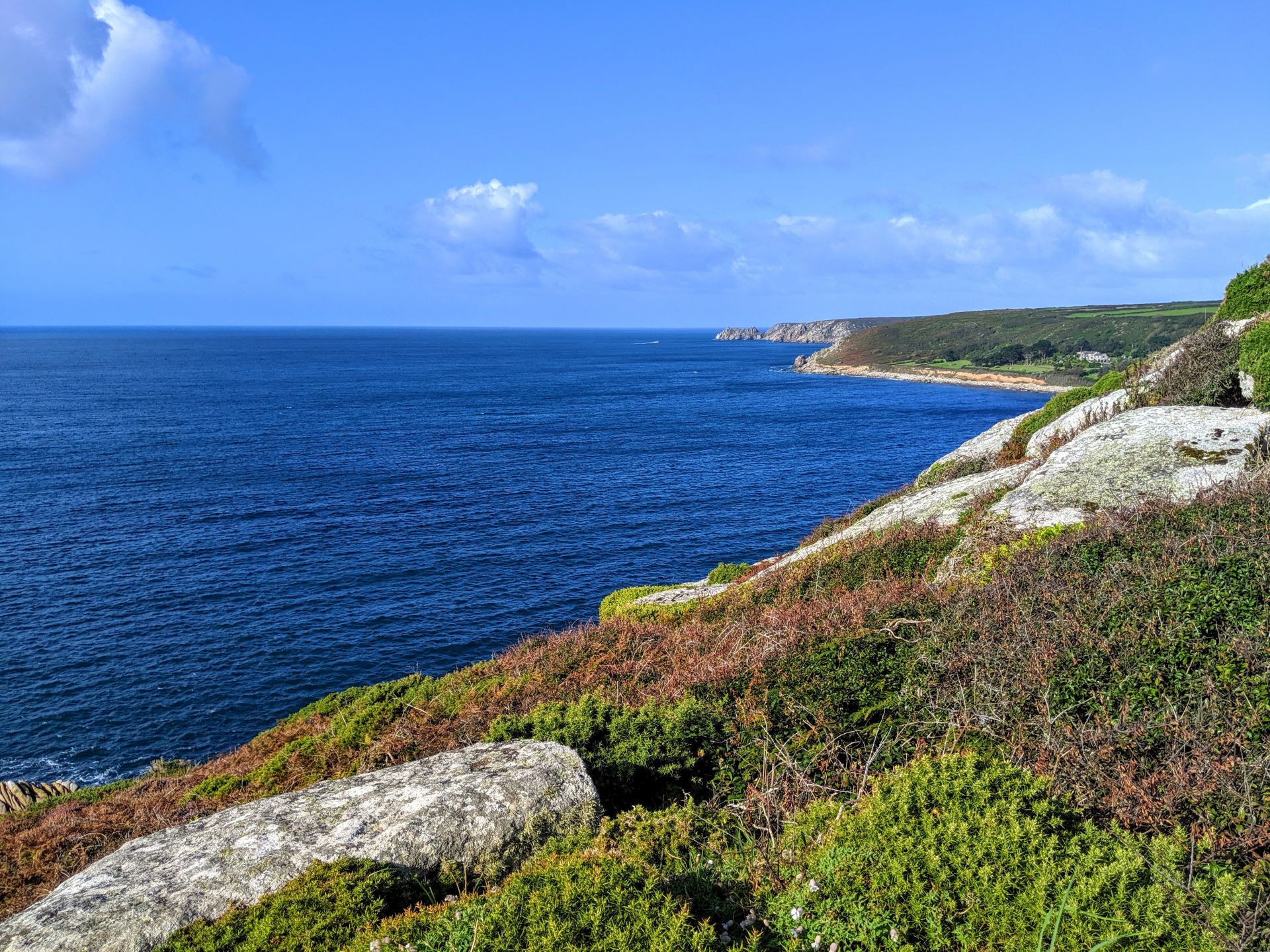
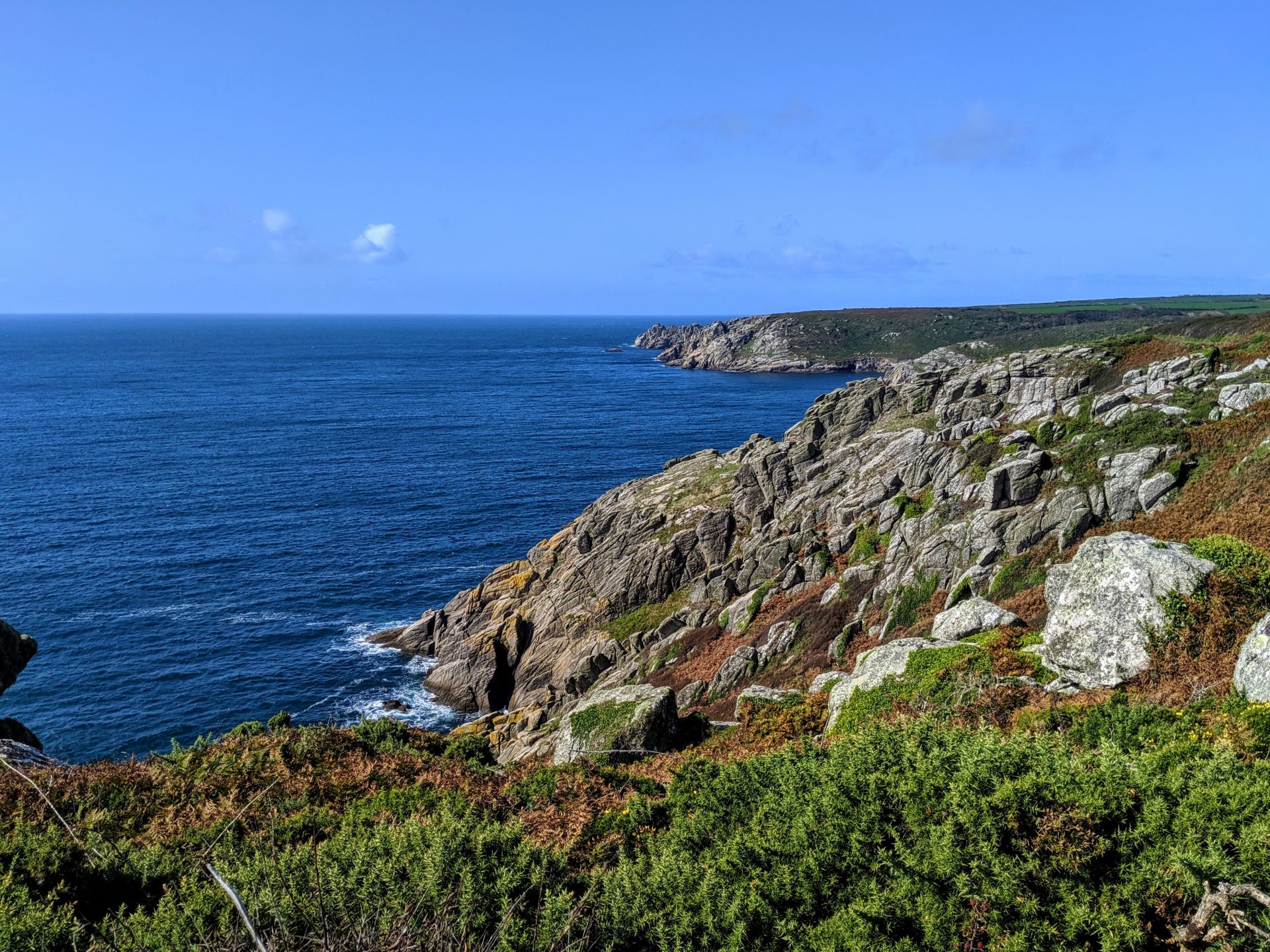
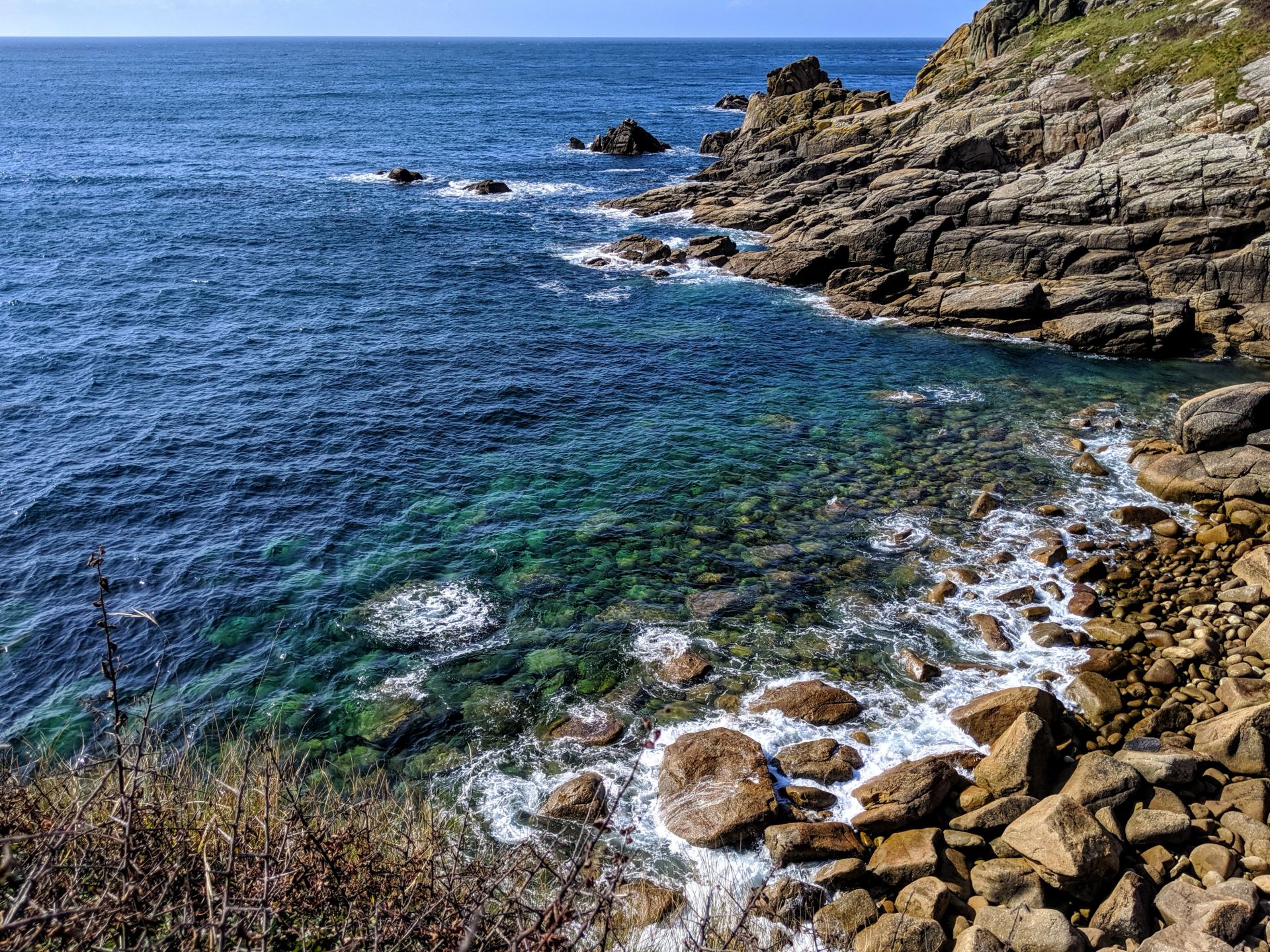
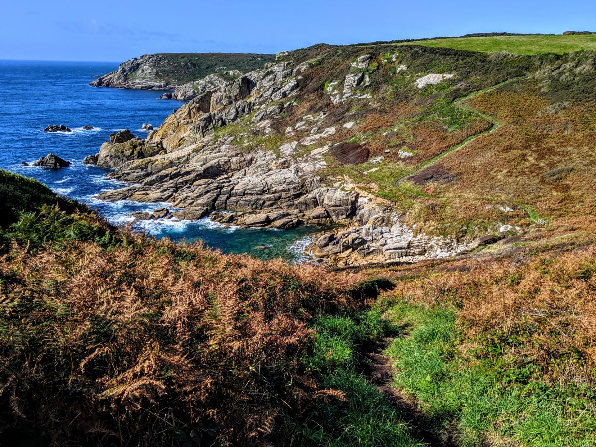
It was such an odd experience walking along the coastal path in September, technically Autumn and within the woodland areas Autumn was peaking out but along the coast the waters were a beautiful turquoise colour and the breeze was still warm carrying with it the last of the summers heat.
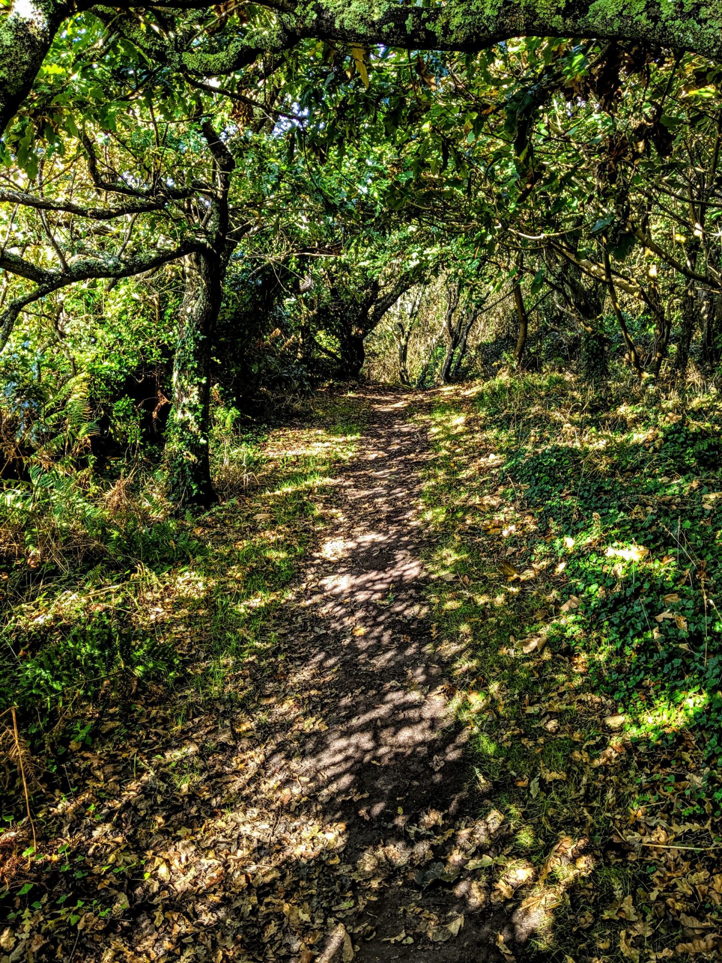
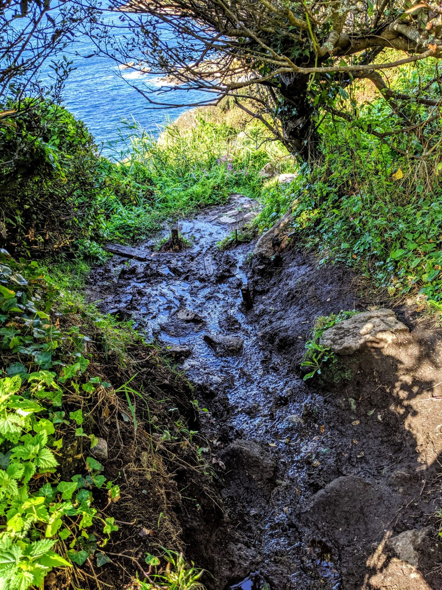
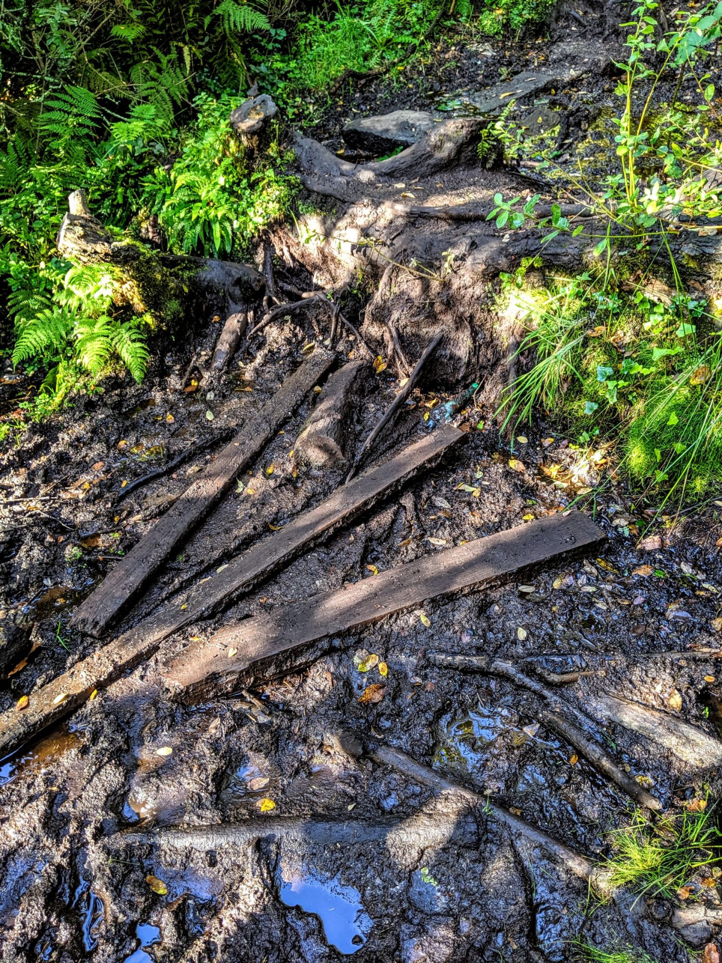
This section at a lot ascending and descending right down to sea level which was some what challenging between climbing and walking through miles of mud!
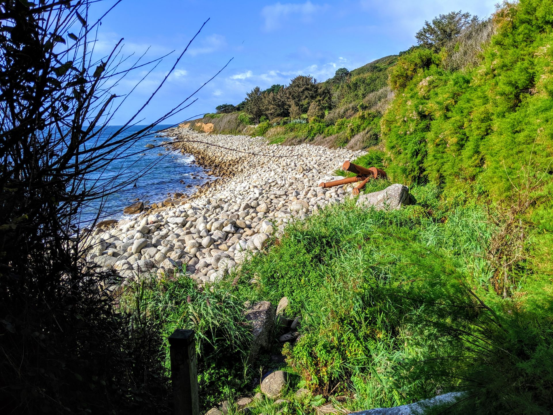
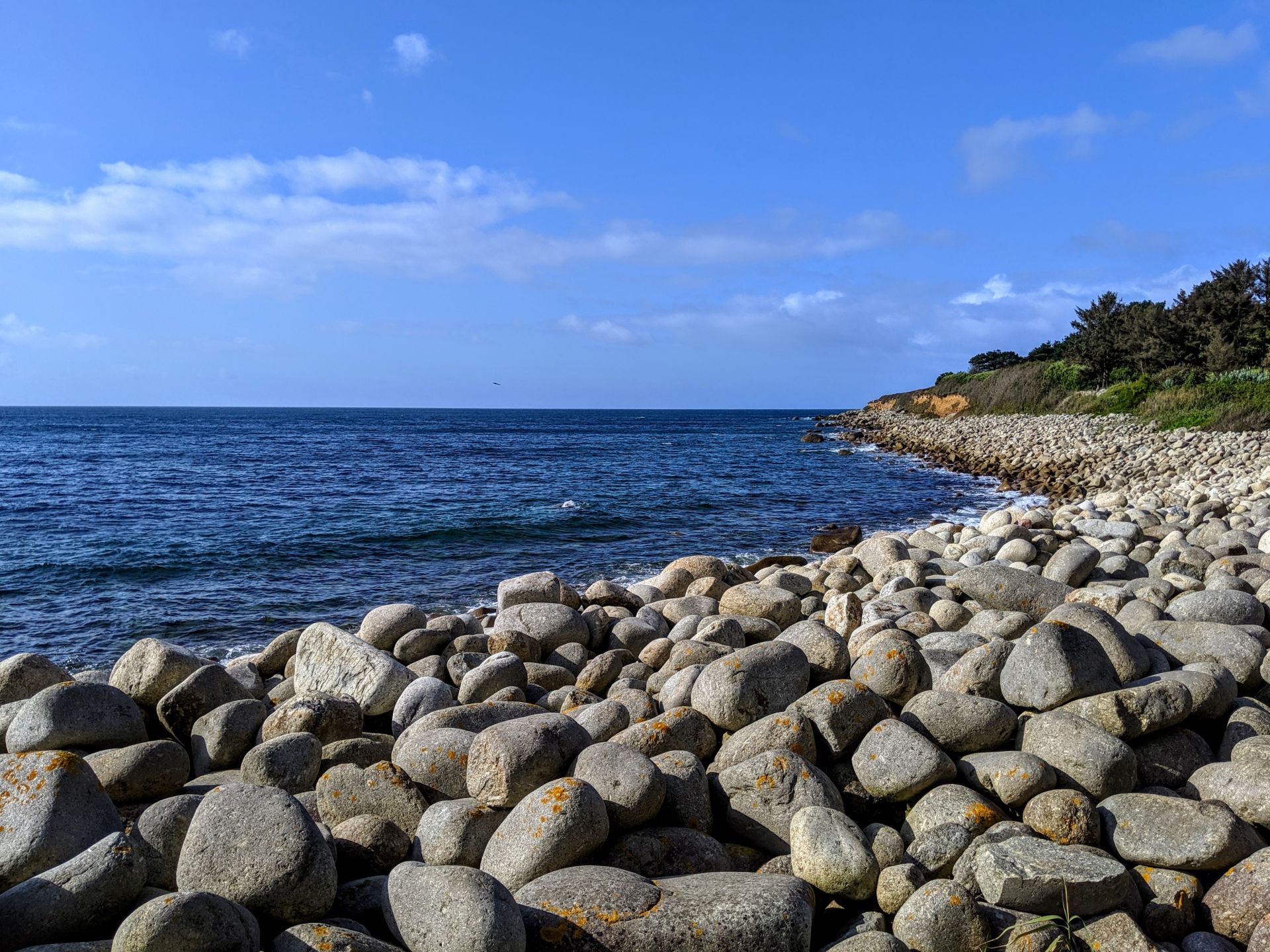
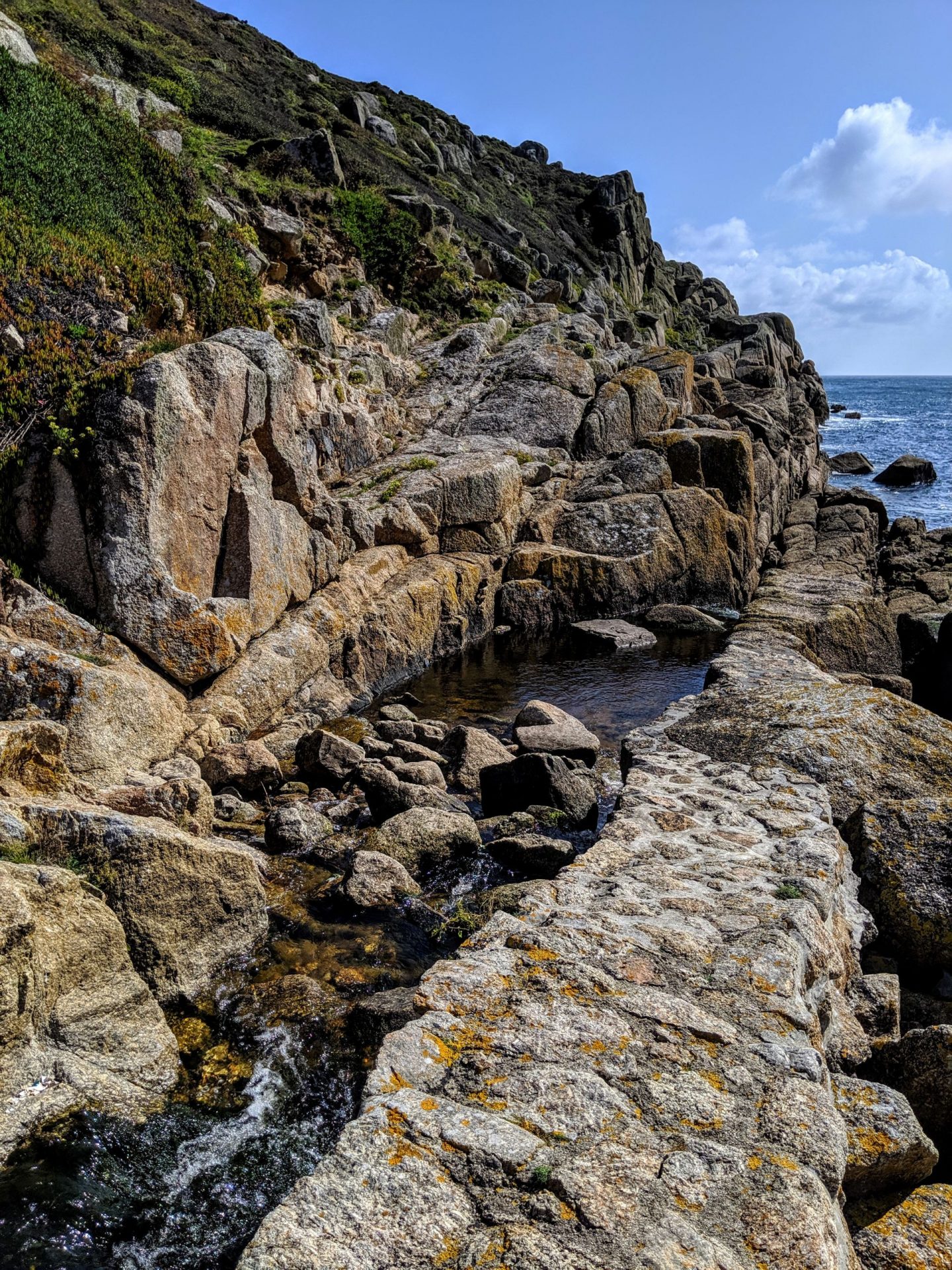
Literally a beach of boulders! And of course I had to cross it! Amazingly I really enjoyed it, when I first looked at it I let out a very big sigh, I am naturally clumsy and it looked like my idea of hell, I was definitely going to fall and break my leg! But after hoping along the first few boulders I started really enjoying it, bouncing from one to the next!
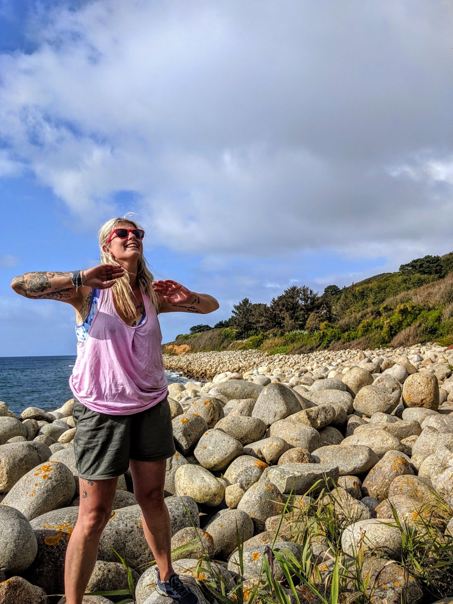
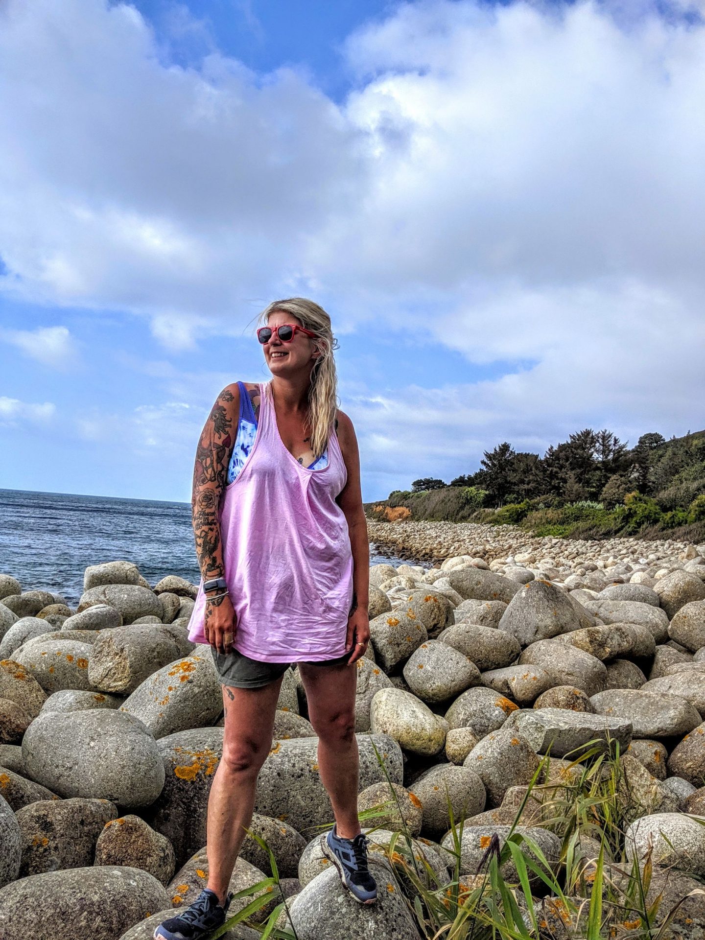
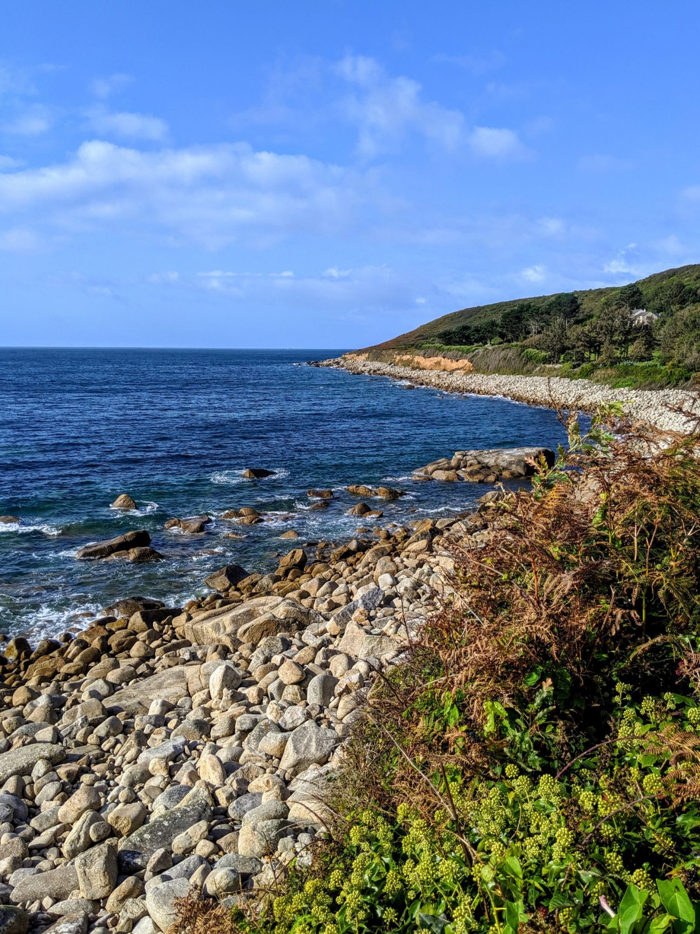
St Loy’s Beach is part of the Boscawen Site of Special Scientific Interest, and is a nationally important geological site. It is what is known as a ‘boulder storm beach’, with rounded boulders on a raised platform, overlain by angular rocks that have fallen from the cliffs above. The rounded boulders were worn smooth by the action of the sea after they had fallen into it from the cliff face, some time before the last Ice Age. When sea levels dropped during the Ice Age, water was formed into ice sheets, and the rocks on the beach were left high and dry on a raised beach. Debris from the surrounding hills was packed in around them as a result of freezing and thawing processes. Angular rocks continued to fall on them from the cliffs above. When the ice sheets melted at the end of the Ice Age, the sea level rose once more and waves cut back into the cliffs, releasing the boulders.
Of course I was a selfie wanker! Have you seen the rest of my blog?!?!
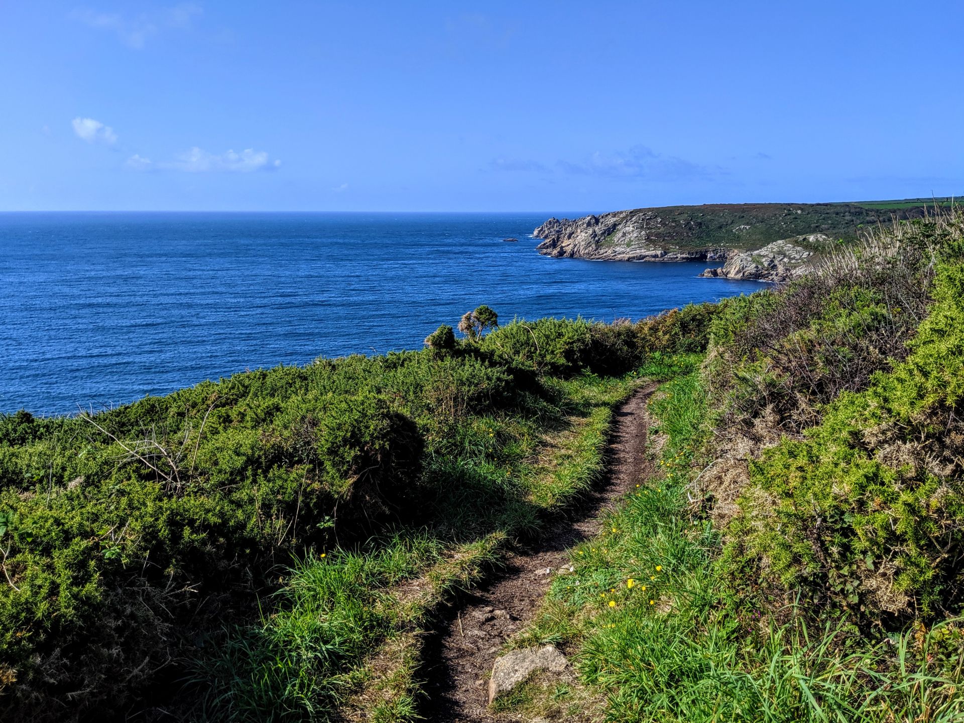
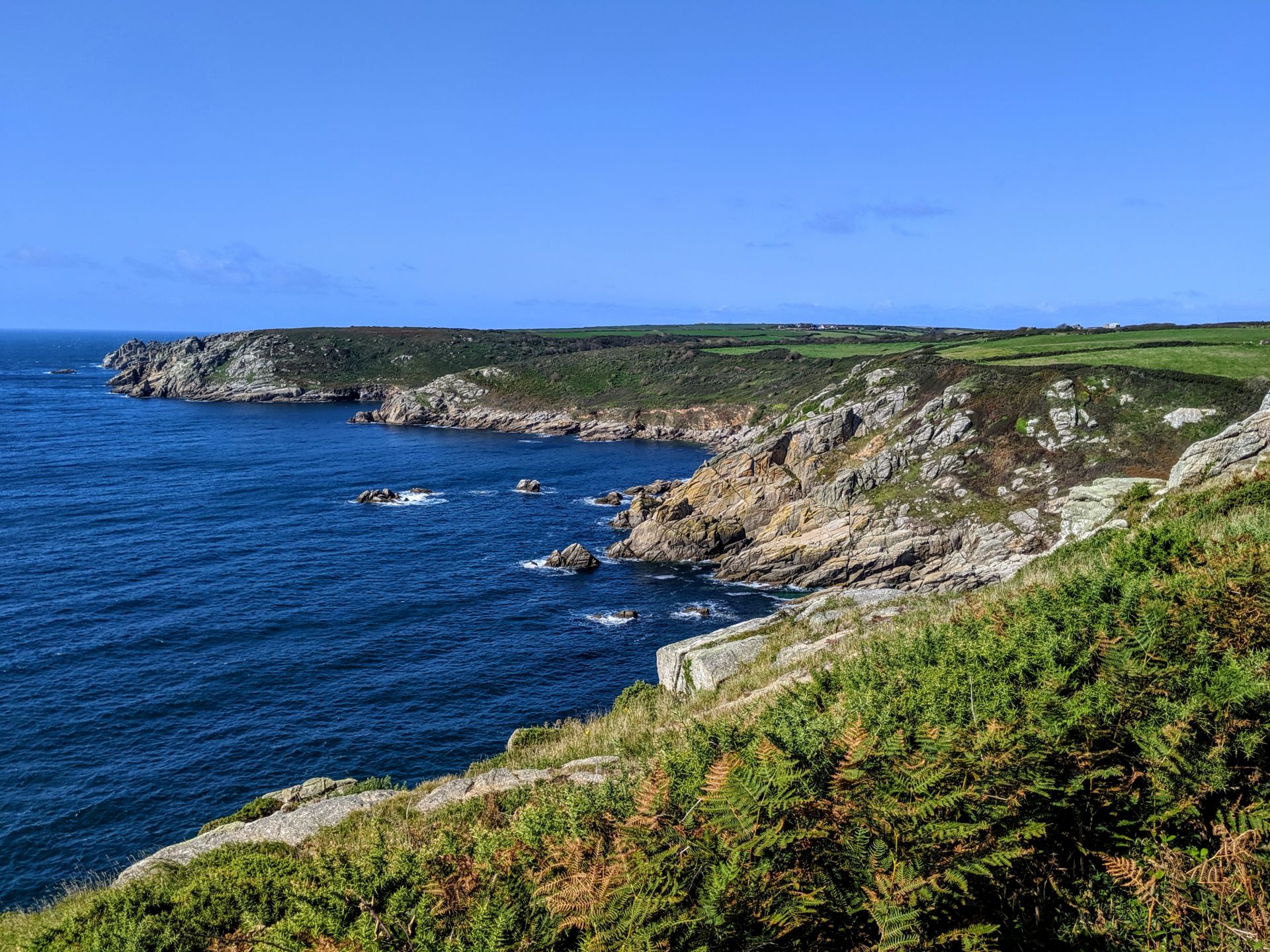
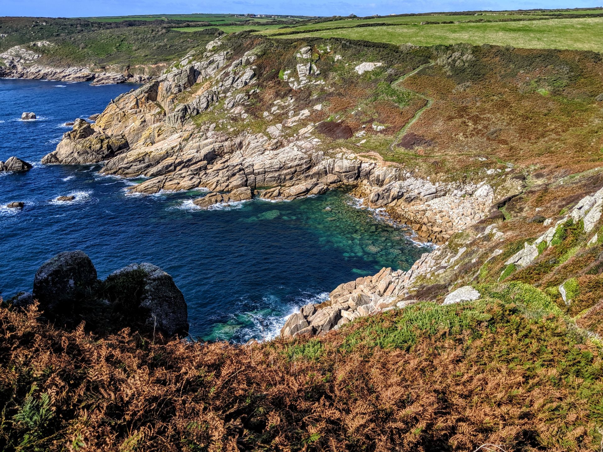
I climbed through woodland and passed behind Merthen Point to reach a high point above Porthguarnon Cove. Here there was a classic Coast Path descent to almost sea level and immediate climb back to the cliff-top. Porthguarnon Cove is a small boulder strewn cove that is a close to Penberth Cove and only accessible by walking along the Coast Path. It faces south and can be fairly sheltered. It is surrounded by granite cliffs and is fairly remote.
When the suns out, become a lizard, lay on a hot rock and soak up as much vitamin D as humanly possible!
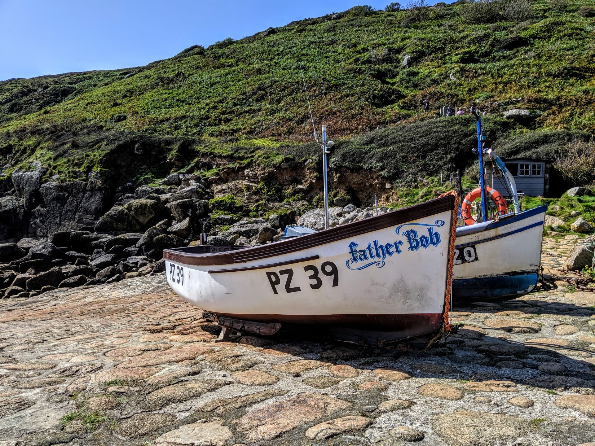
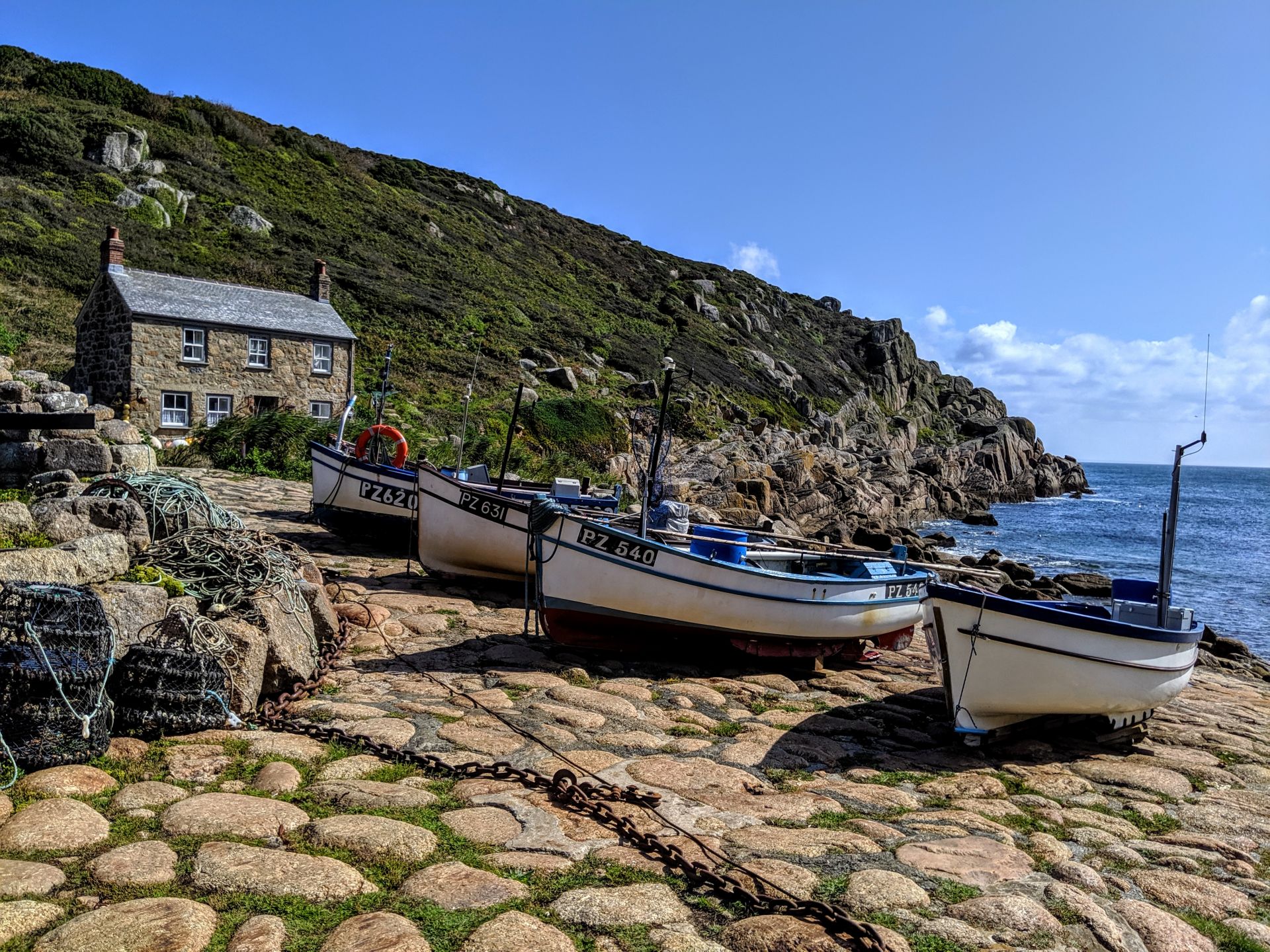
A further descent soon after this brought me to the tiny fishing village of Penberth and another climb up to the cliff top. Now there was a grassy plateau to cross behind the Teryn Dynas iron age hill fort. You probably won’t have seen Penberth in any guidebooks, nor will you see many signs pointing to the place. Instead, this sleepy Cornish fishing cove retains all of the beauty and oodles of charm in that it likely looks just as it did some two hundred years ago. Penberth as it’s seen today (and known in Cornish as Benbryhi) was first founded as a pilchard fishing community. Once upon a time, a thriving cut flower industry also popped up here, with fresh flowers being delivered straight to London via train from nearby Penzance.
As you approach Porthcurno you can see below a sandbank just visible above the Mediterranean sea. By walking a few steps down the hillside you can see that a golden beach lay on the shore side.
Highlights from the official Southwest Coast Path Website:-
• Logan Rock headland and stone: the Logan Rock is an eighty ton granite boulder on the edge of the cliffs south of Treen. It used to easily rock back and forth if pressure was applied in the correct place, however a group of sailors under Lieutenant Goldsmith dislodged it in 1824 and it fell crashing to the sea below. After much outcry from the locals, the sailors were ordered to replace it at their own cost, which took nearly seven months. The bills for the work and drawings of the procedure can be seen in the Logan Rock Inn in Treen.
• The beautifully unspoilt Penberth Cove, which still has a small fishing fleet.
• The lush, exotic woods around St Loy.
• The hamlet of Lamorna: still popular with craftsmen, potters and writers, including John le Carré and Derek Tangye, it was a favoured spot of some Post-Impressionist artists who came to stay here in the early part of the twentieth century. These included Lamorna Birch, Laura Knight, Alfred Munnings and Augustus John.