” Wilderness is not a luxury but a necessity of the human spirit, and as vital to our lives as water and good bread.” – Edward Abbey
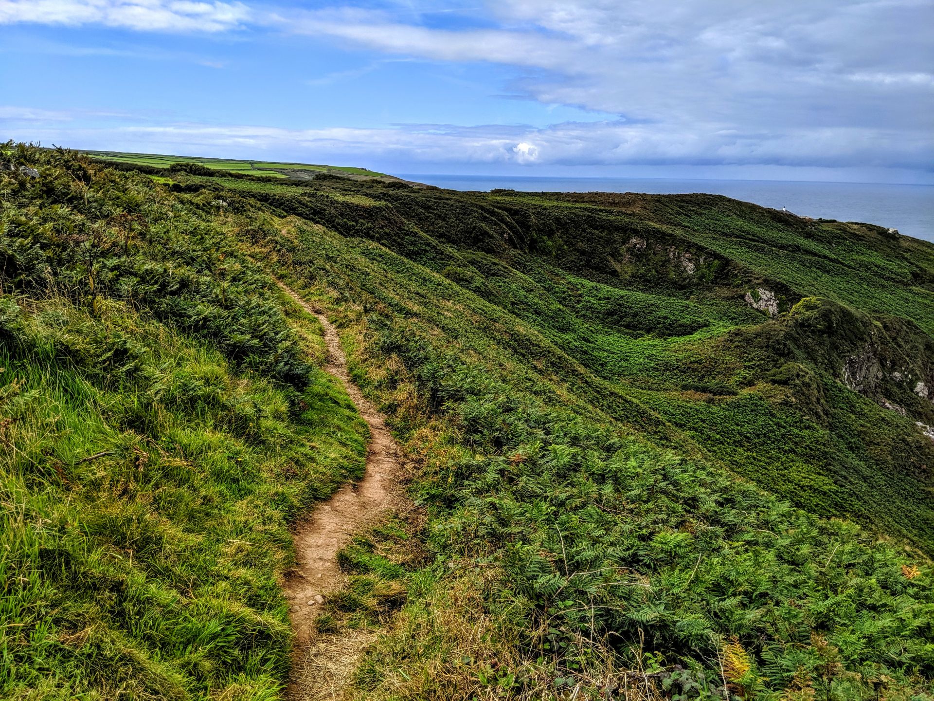
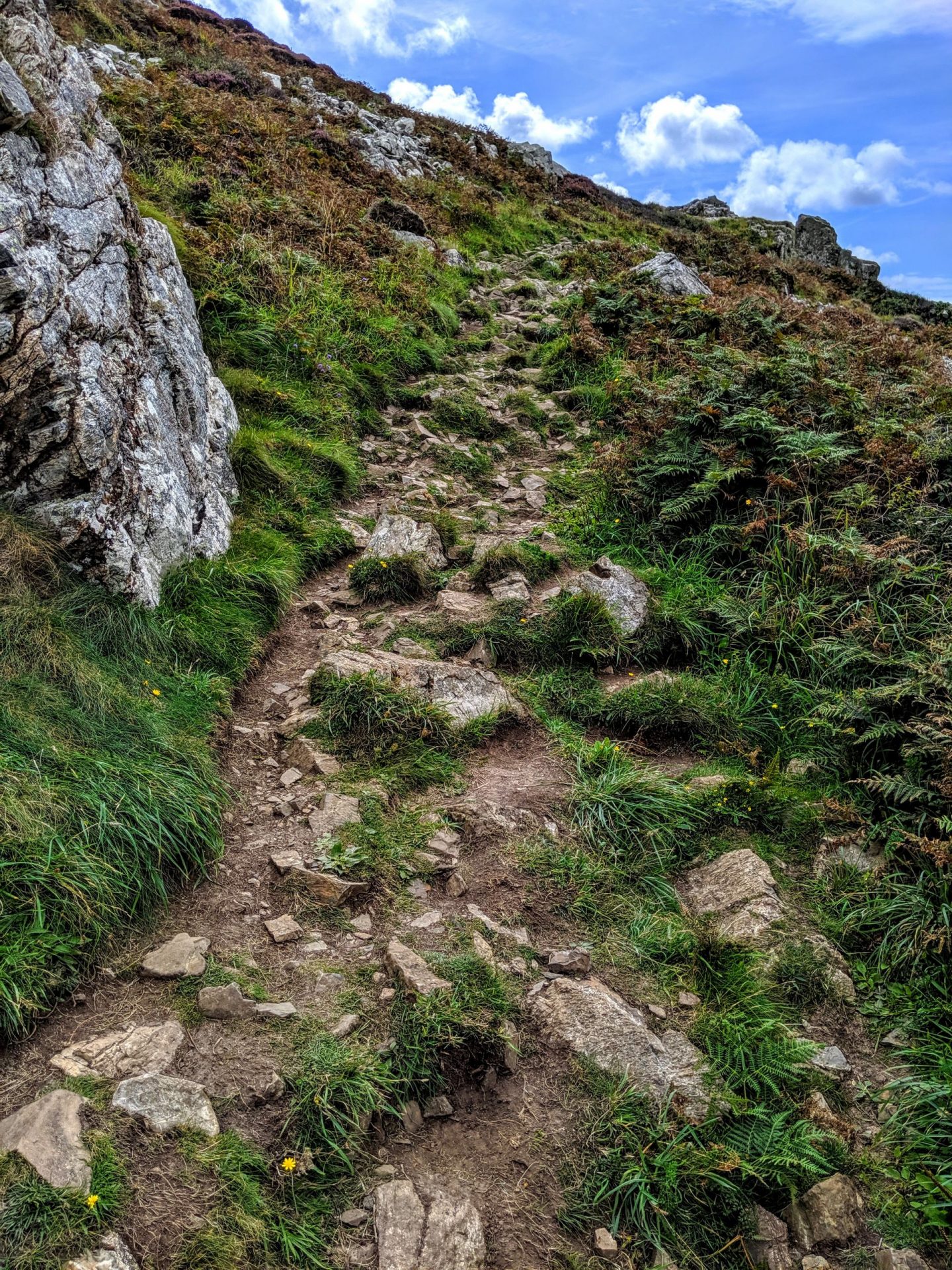
Here we are, part two of the first days walk of the Southwest Coast Path, I wrote about St Ives to Zennor Head in yesterday’s blog post, this is Zennor Head to Pendeen. The first half of the walk was filled with walkers which I excepted. What I wasn’t expecting was not to see anyone on the second leg of the day! For a good few hours I was the only person in Cornwall (which I adored). Roughly eight miles which started with a lot of ascends and descends and me remembering the pain of my Pembrokeshire trip!
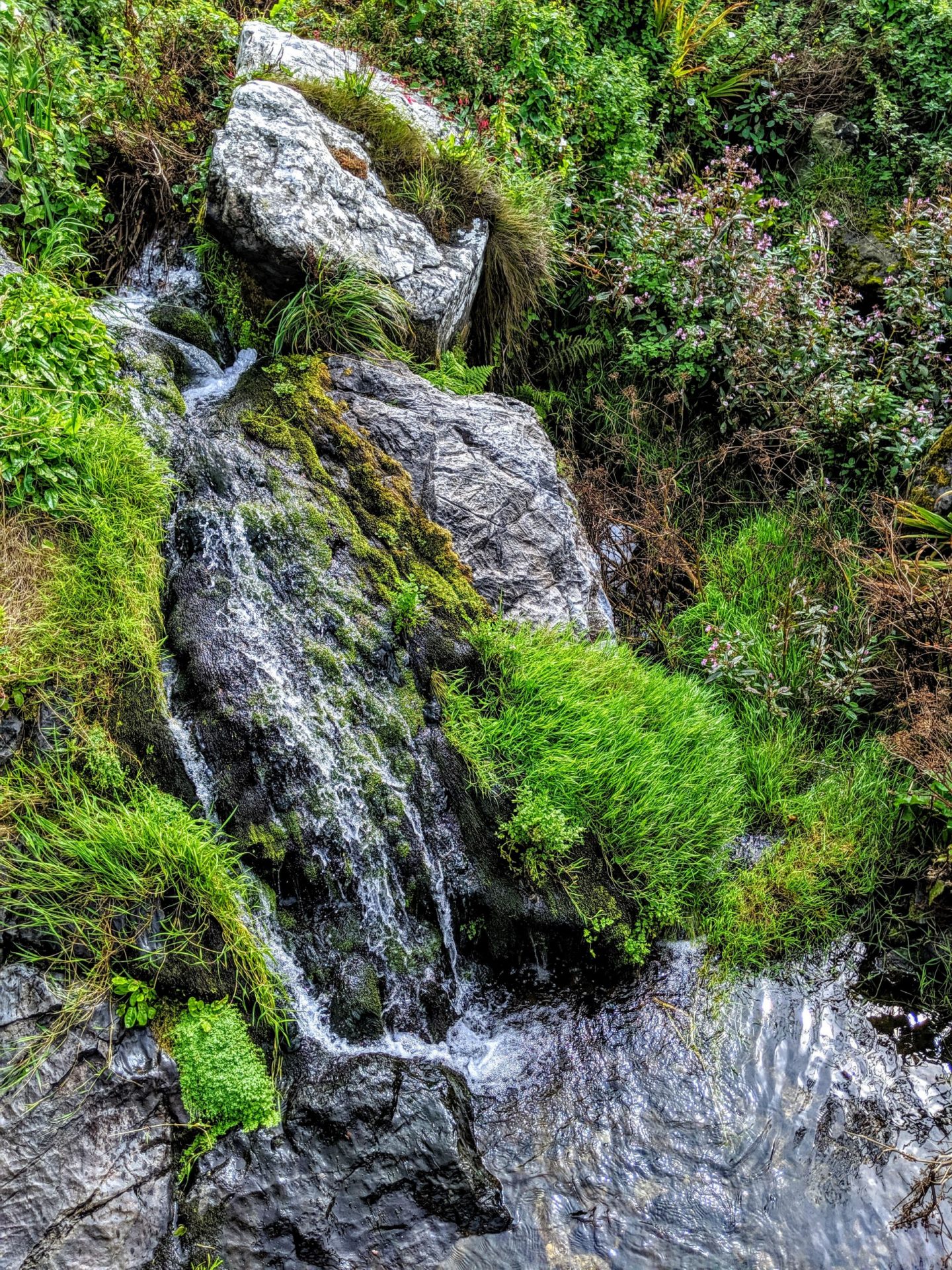
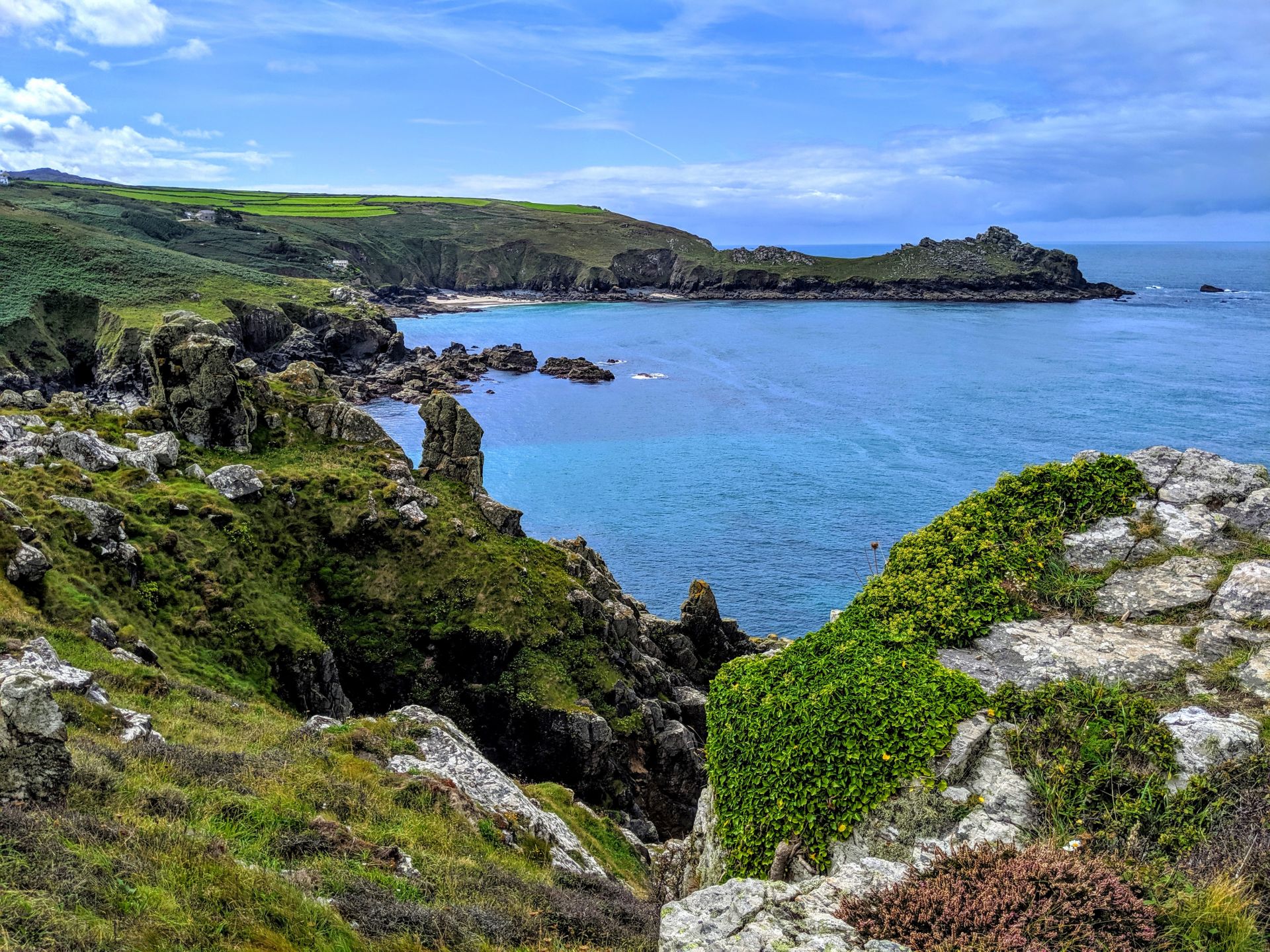
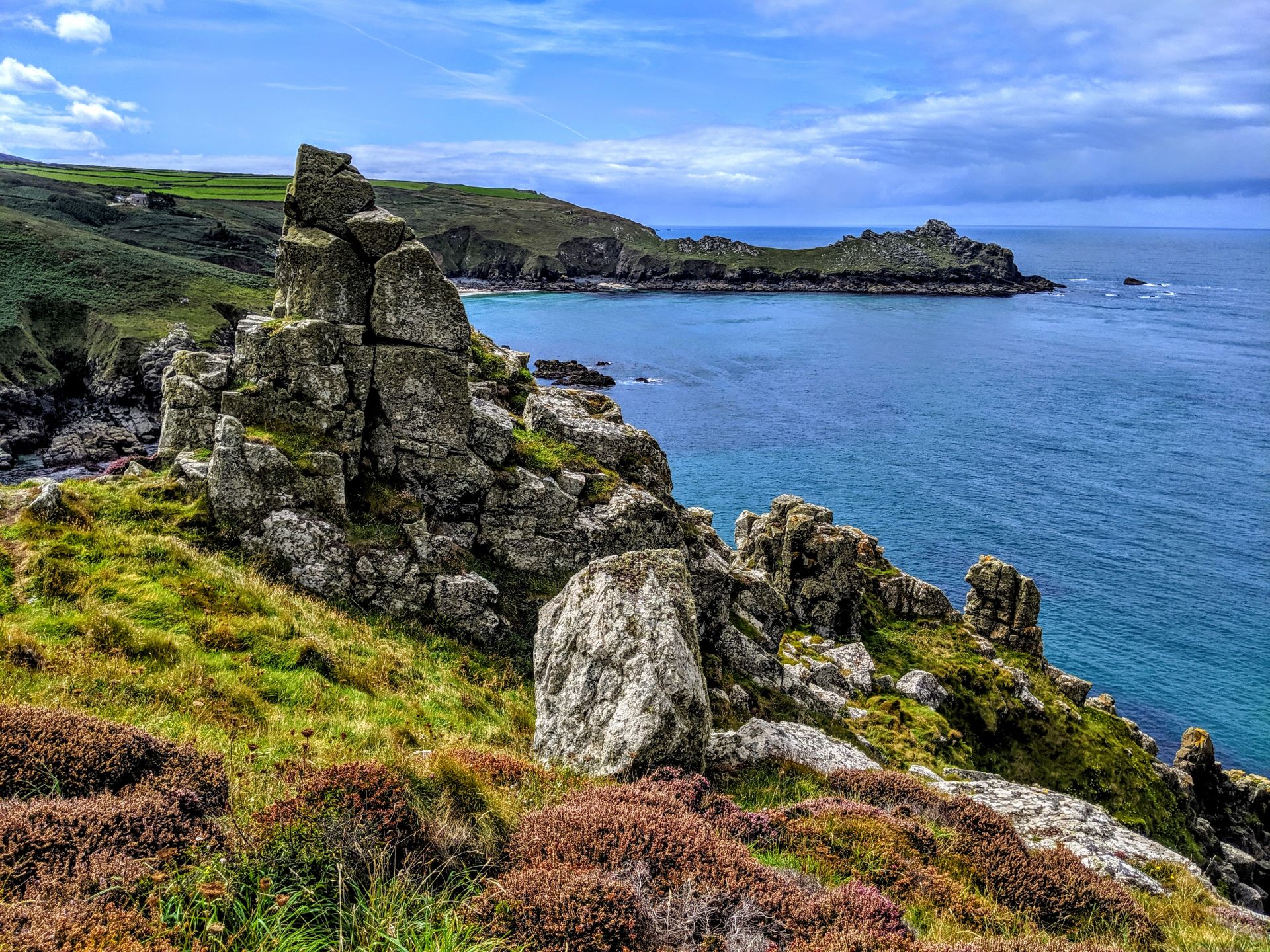
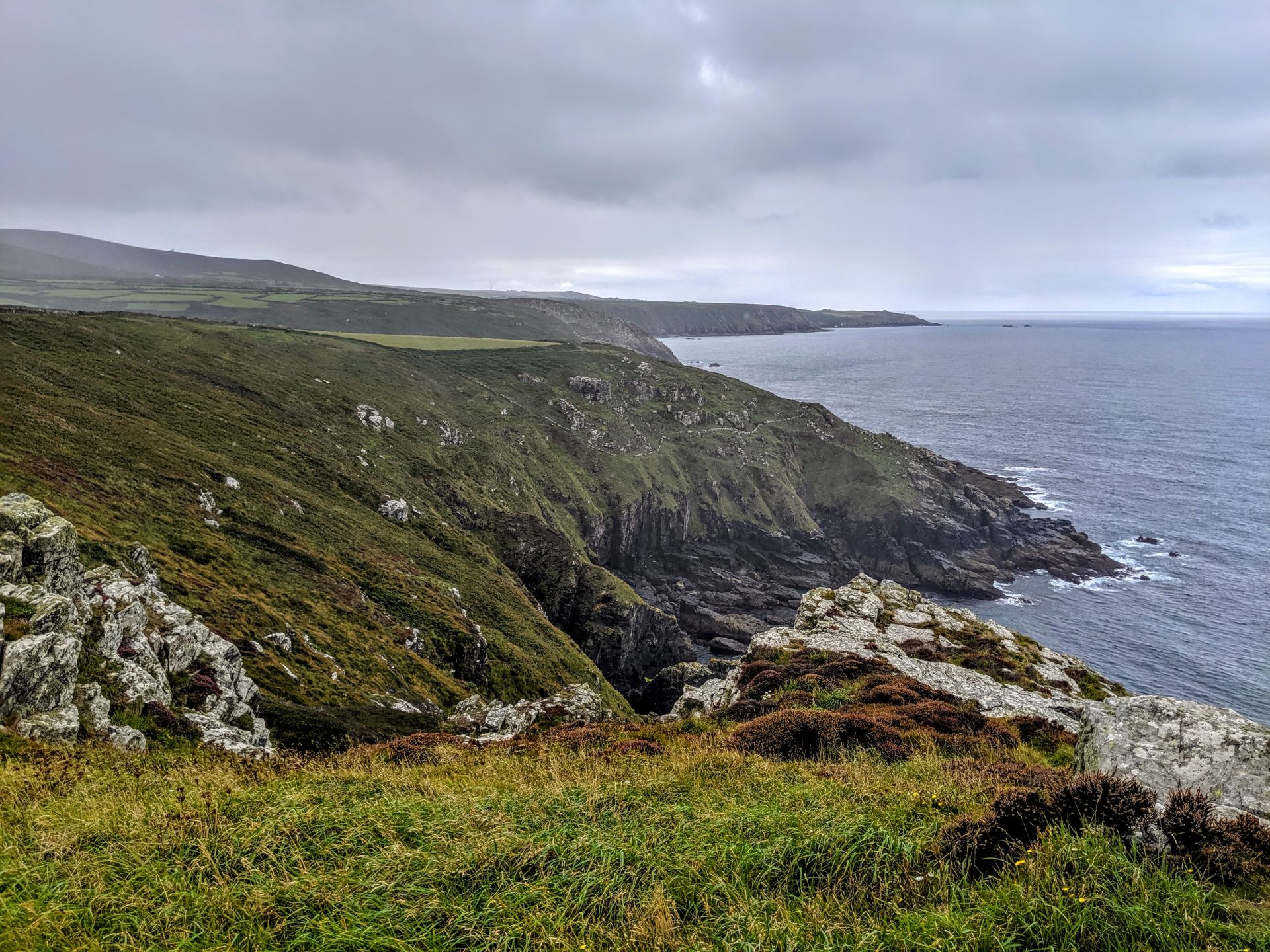
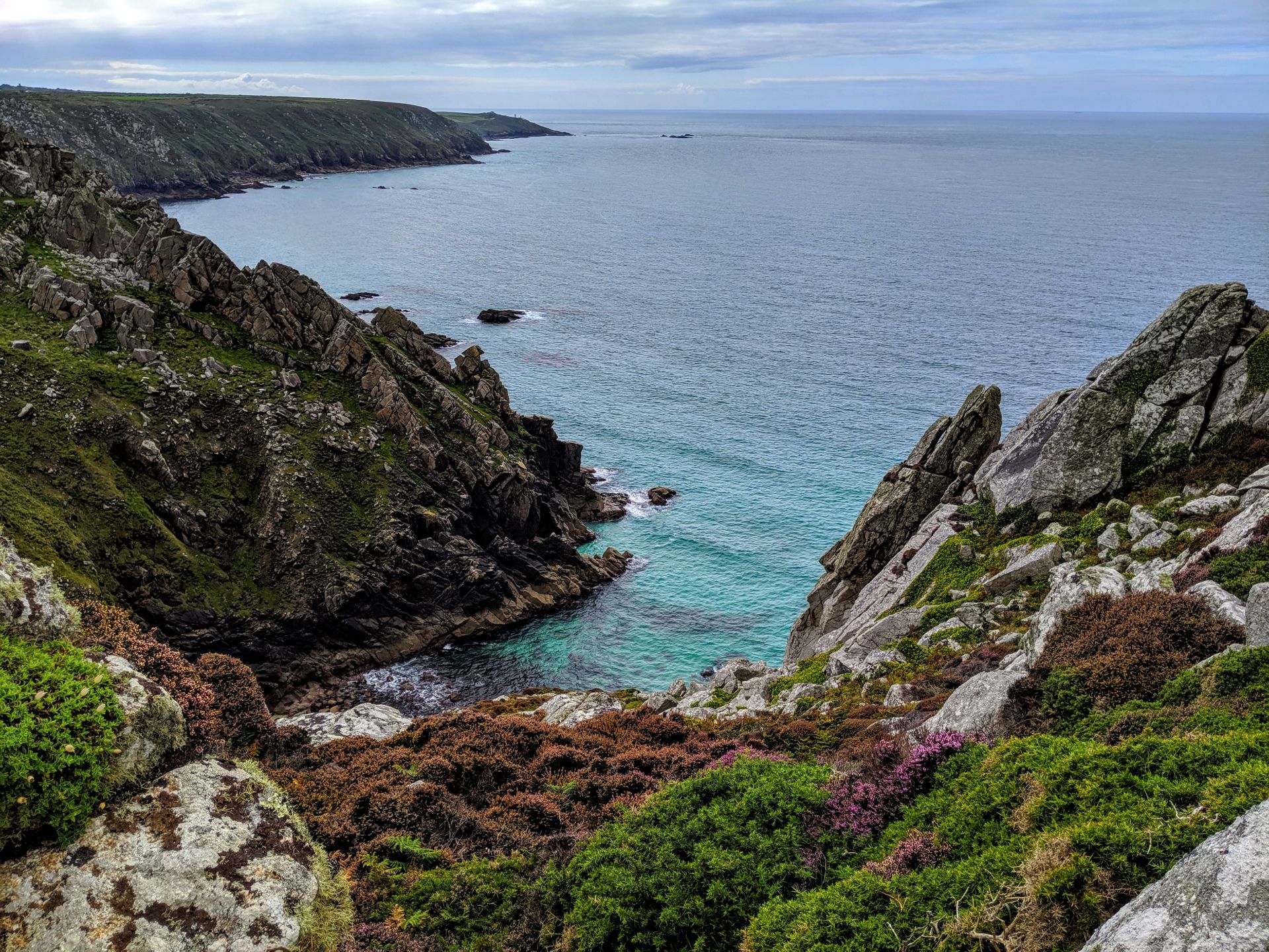
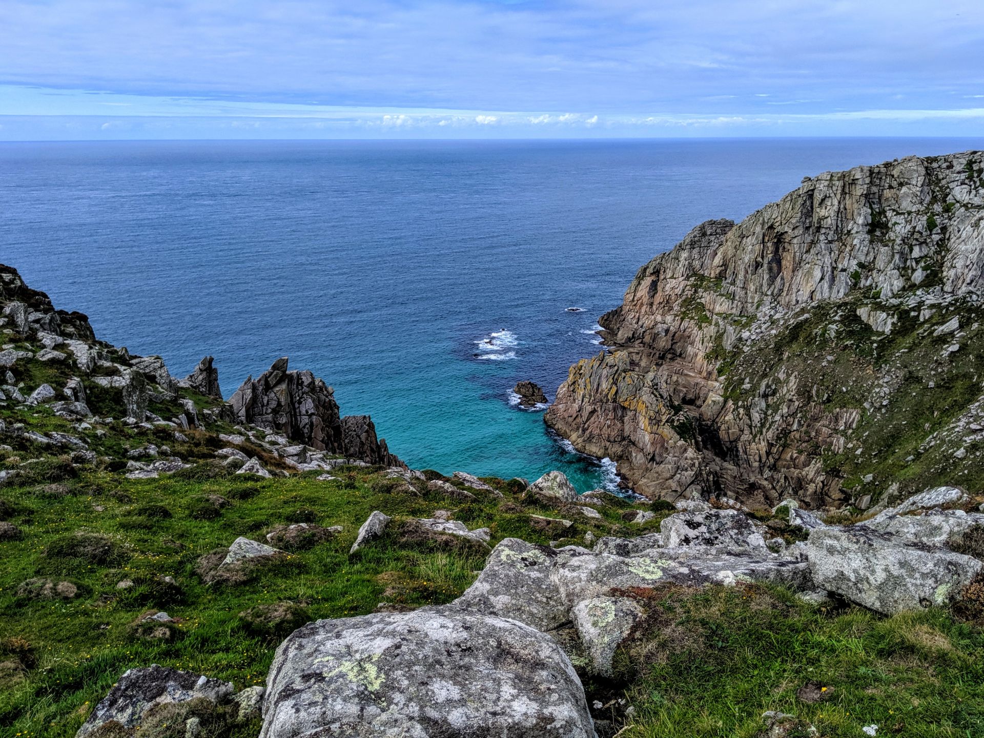
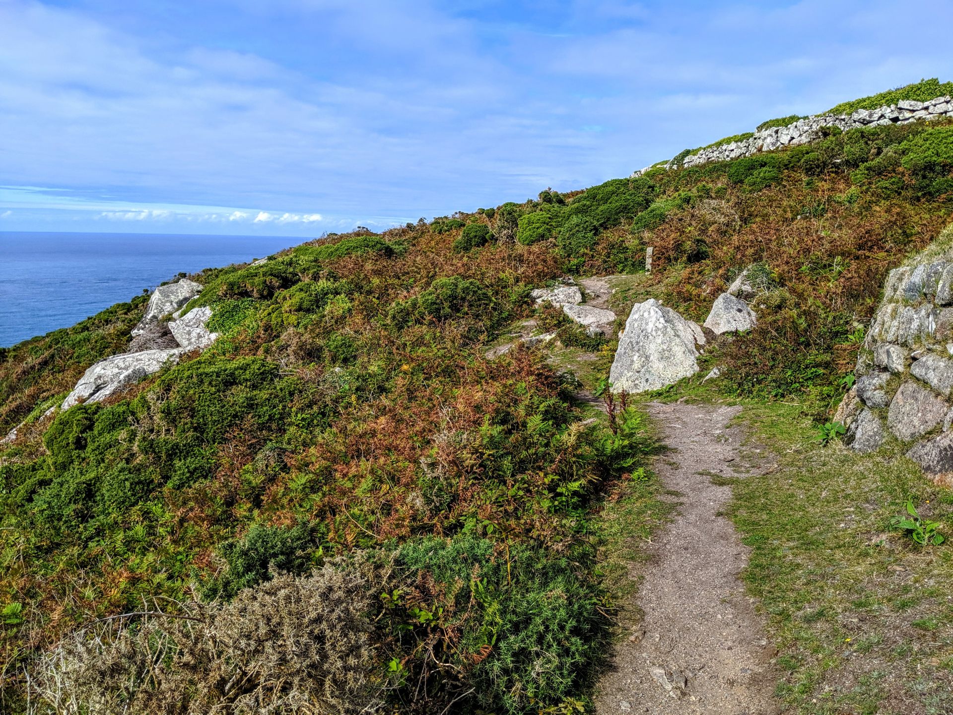
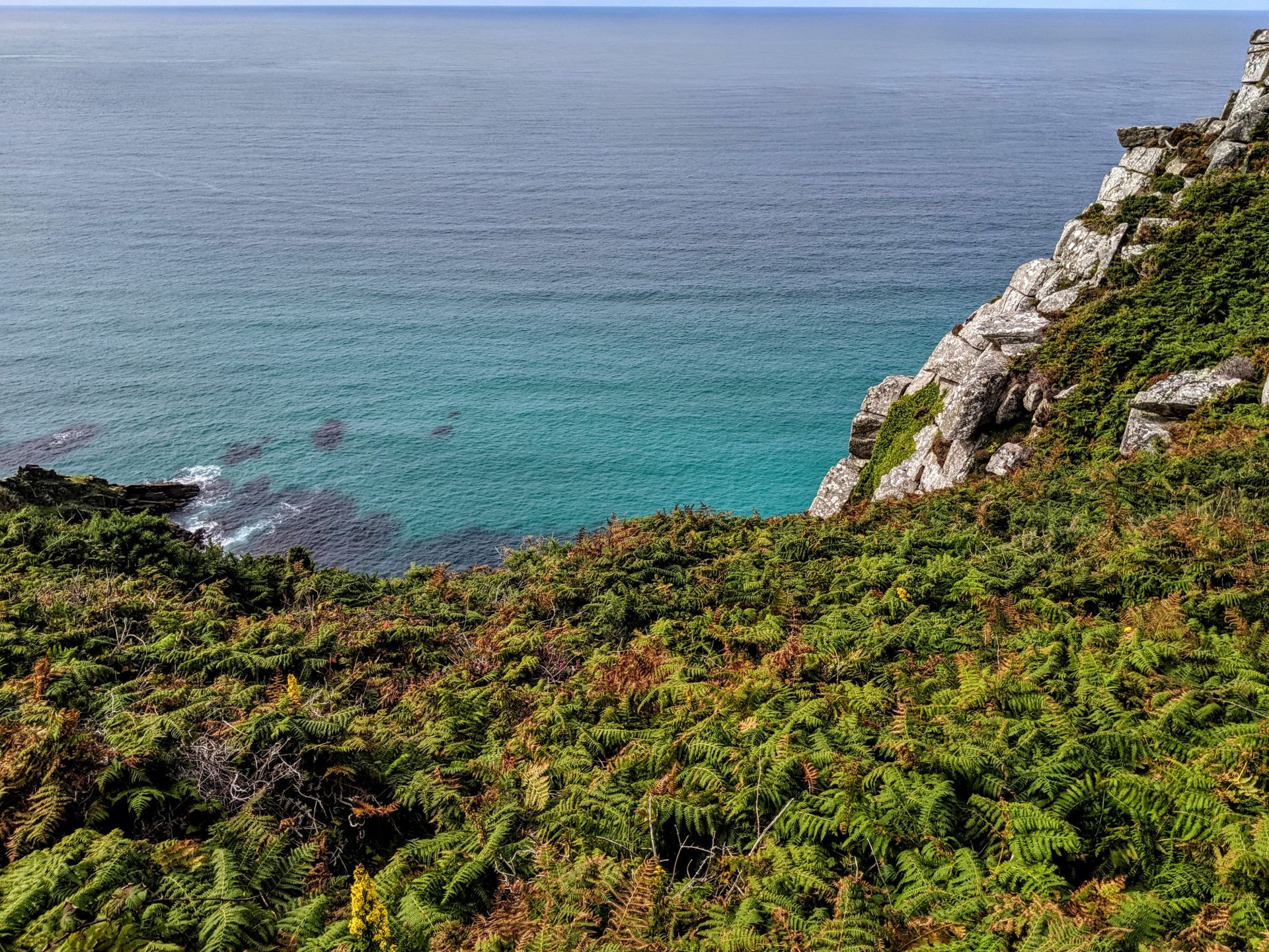
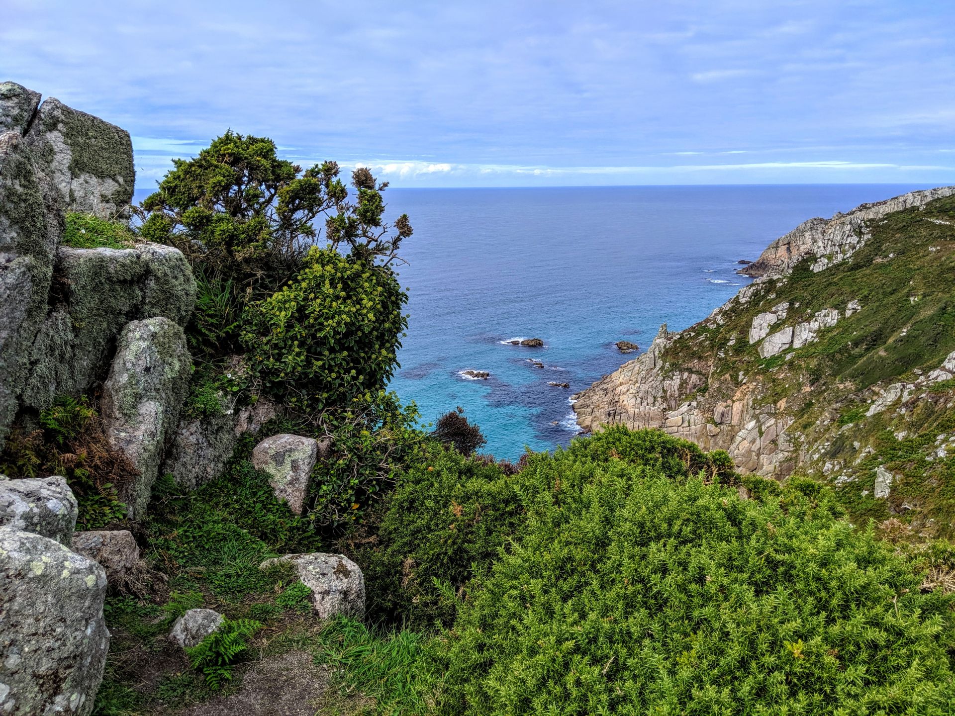
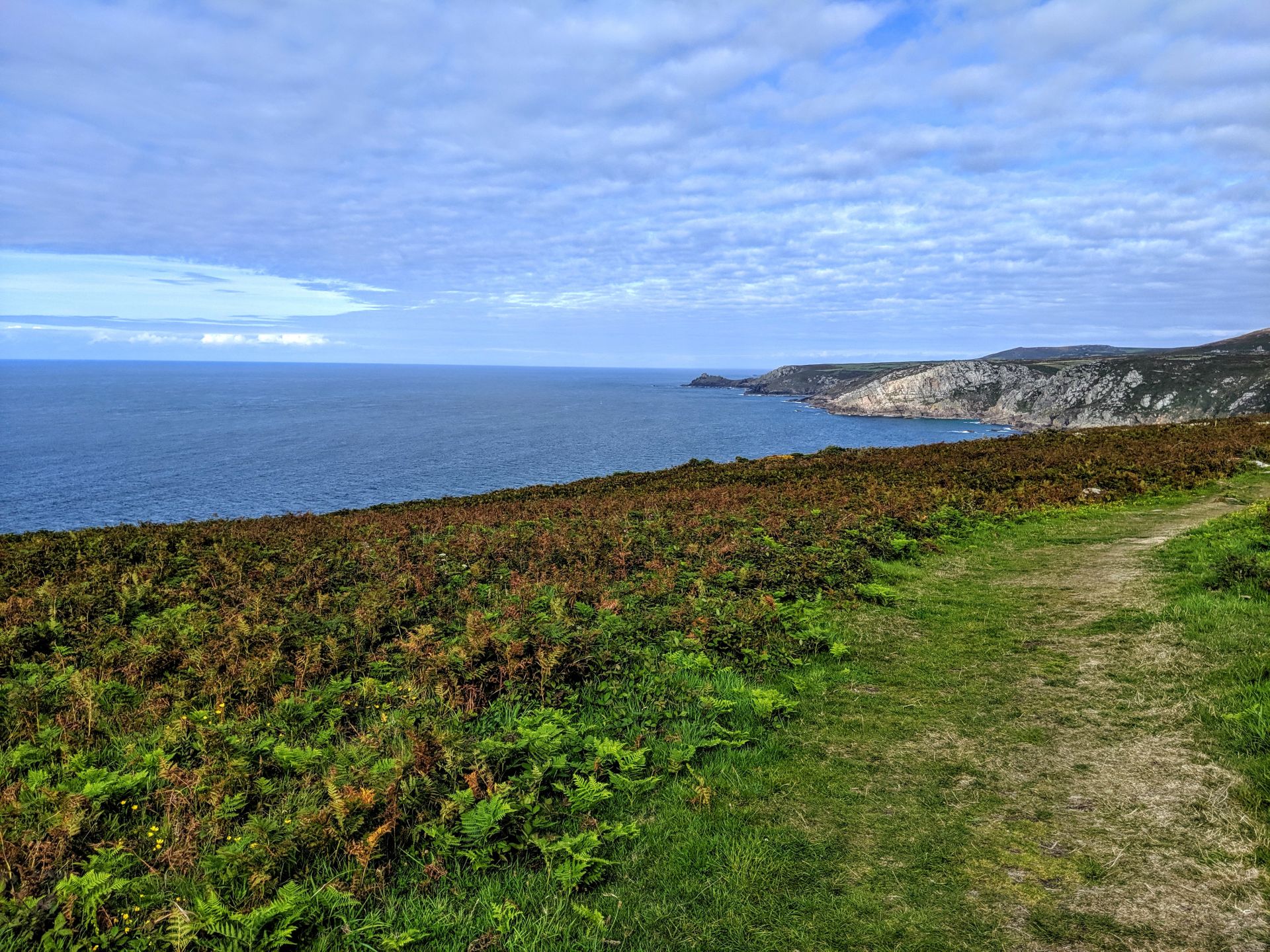
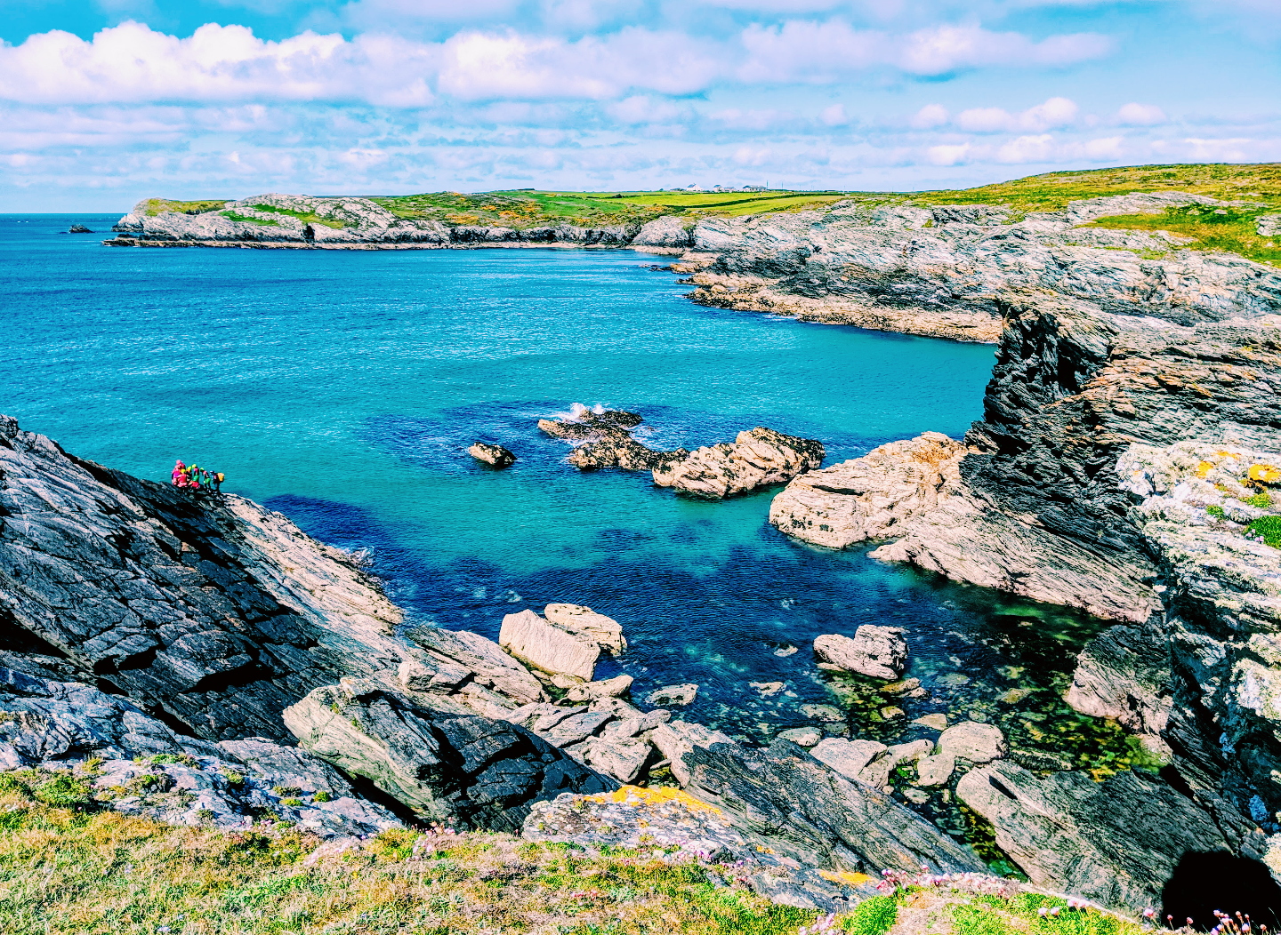
This walk takes in a superb stretch of the Cornish coastline. Heading south from Zennor, the route hugs the coastline above its many cliffs and bays, and there’s the chance for a bit of scrambling at Gurnard’s Head as well.
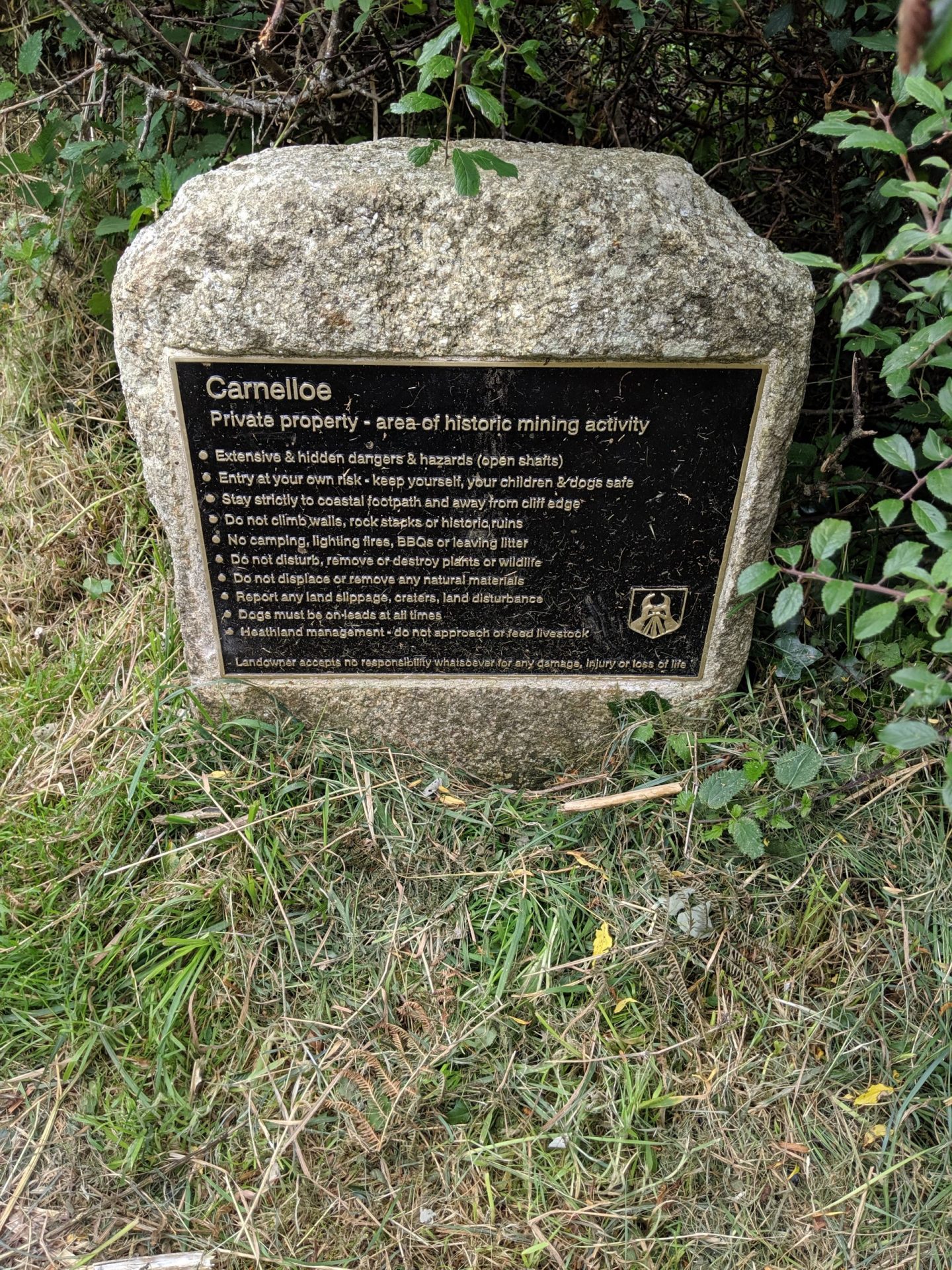
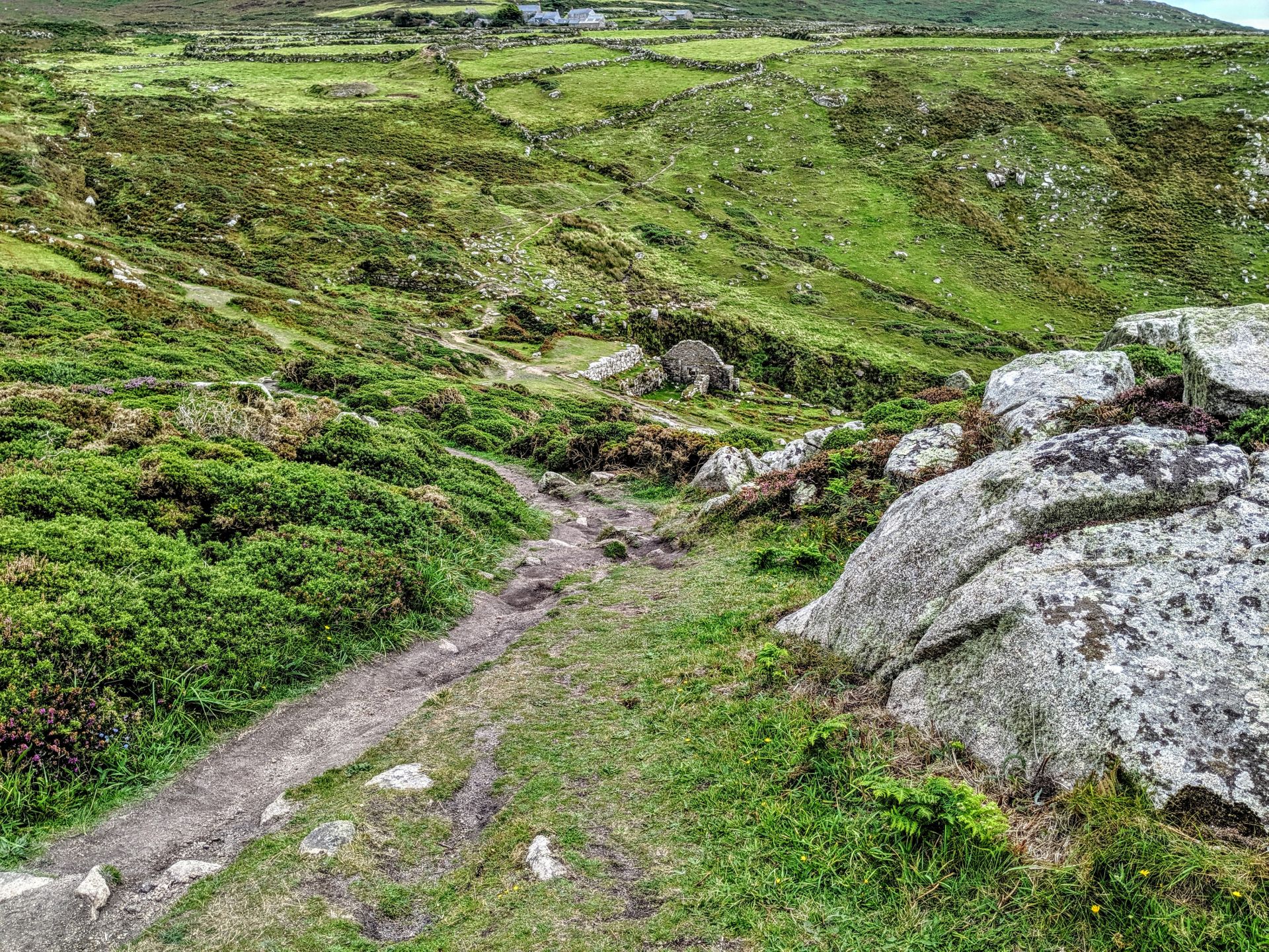
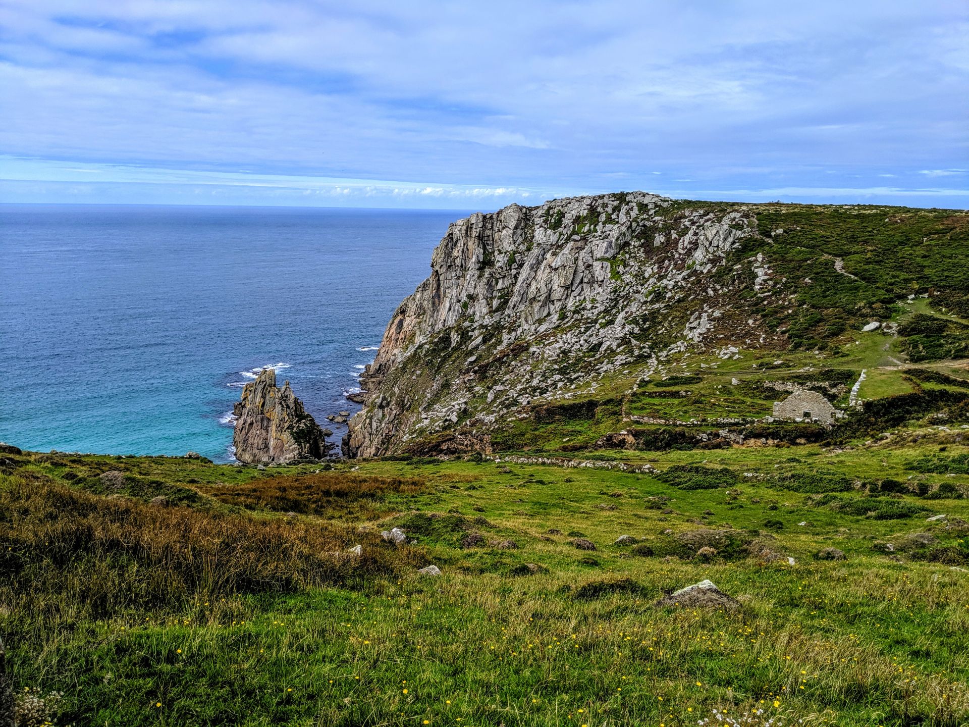
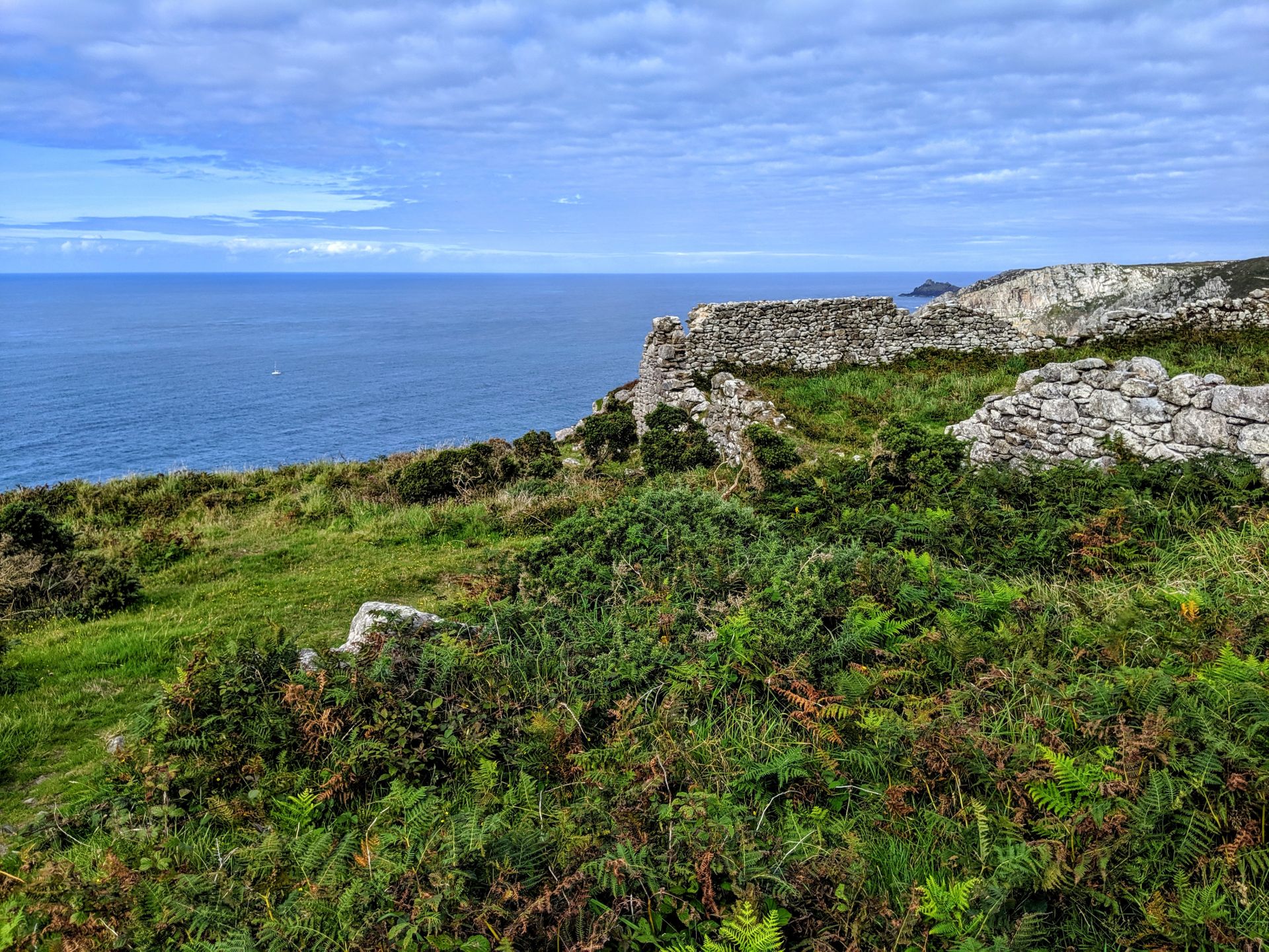
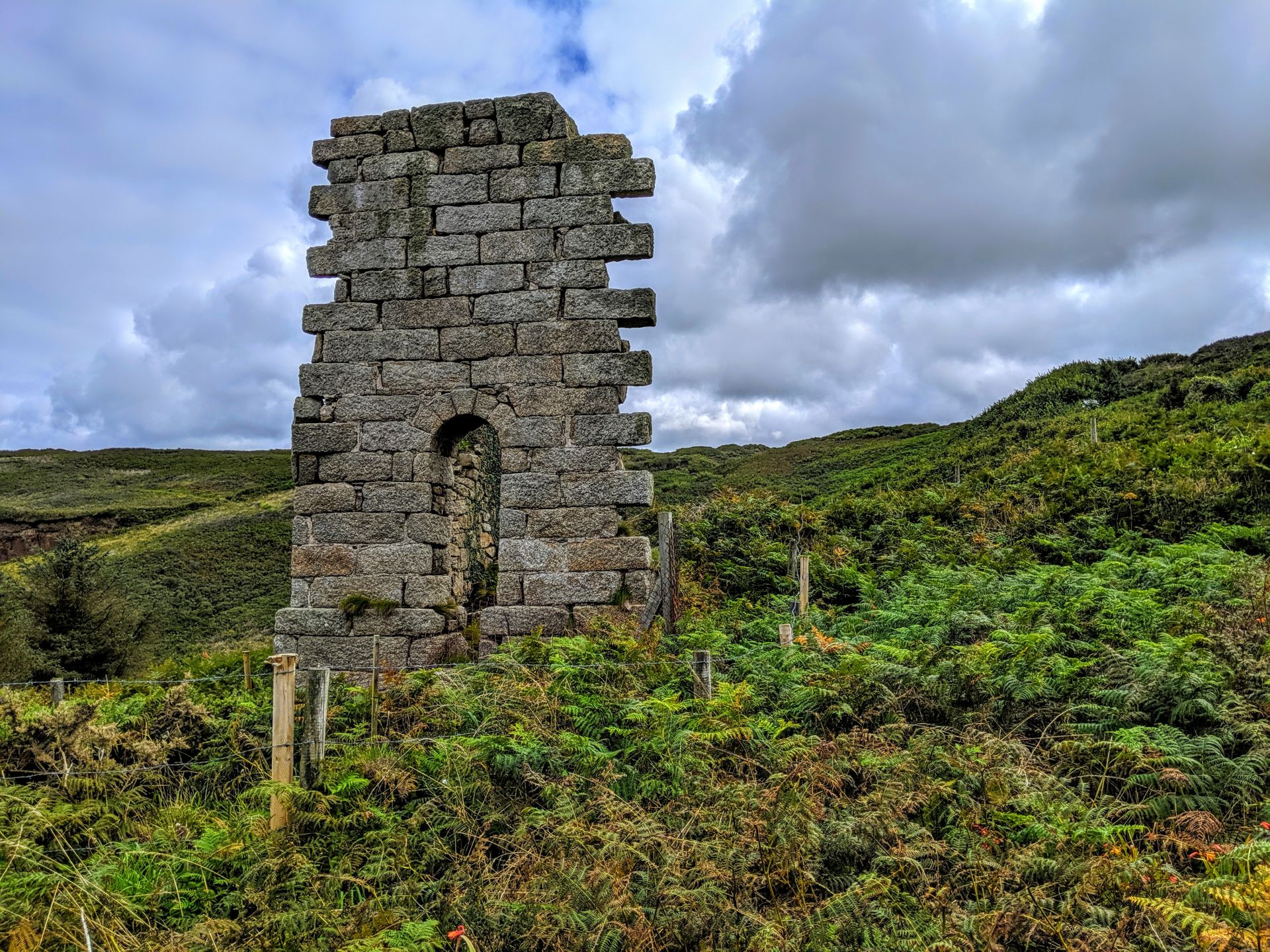
Before I started this walk I had no idea about Cornwall’s mining history, but you really don’t have to walk more than a couple of miles before you are reminded of it. Your first encounter is the remains of old mines and chimneys appear at imposing Gurnards Head (Treen Cove Mine) followed shortly by the impressive ruined mine complex at Carn Glaver Mine which consists of two atmospheric engine houses and the remains of a Tin Mill in a stunning and wild location sitting below the heights of Penwith Moor.
Highlights of this section of the walk from the official Southwest Coast Path website.
- Standing on the windswept rocky headland of Gurnard’s Head. There are remains of an ancient settlement and cliff castle here.
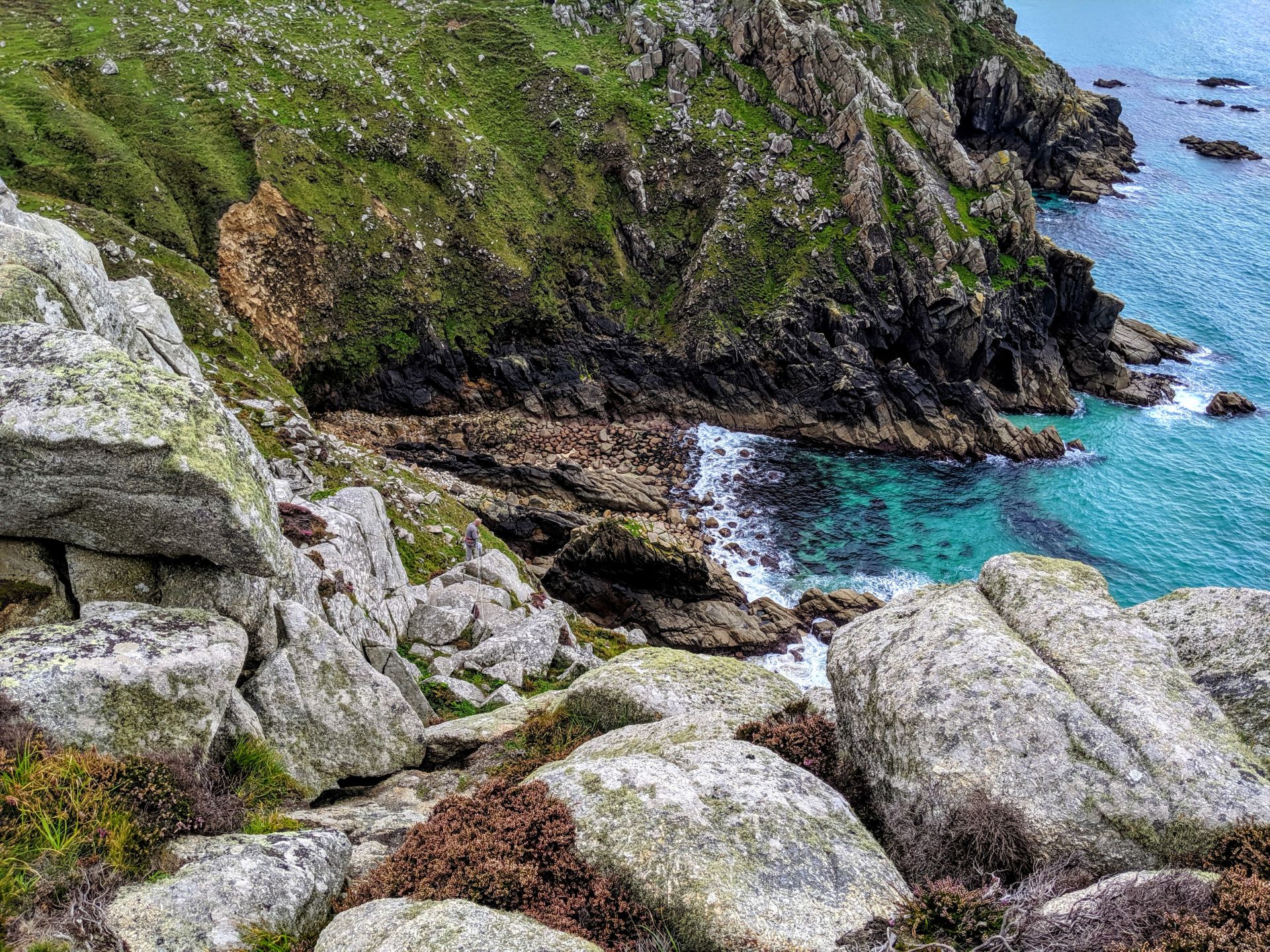
- Bosigran Castle: the site of an Iron Age cliff fort. This rocky area is very popular with climbers.
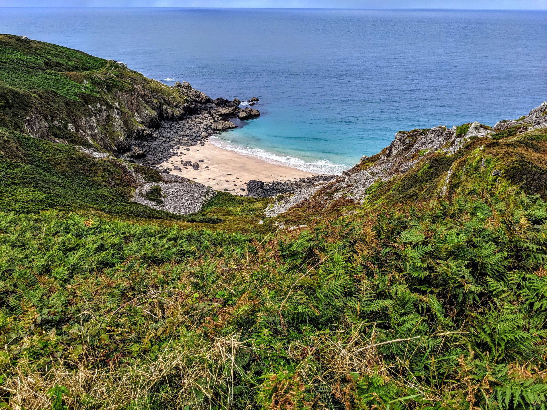
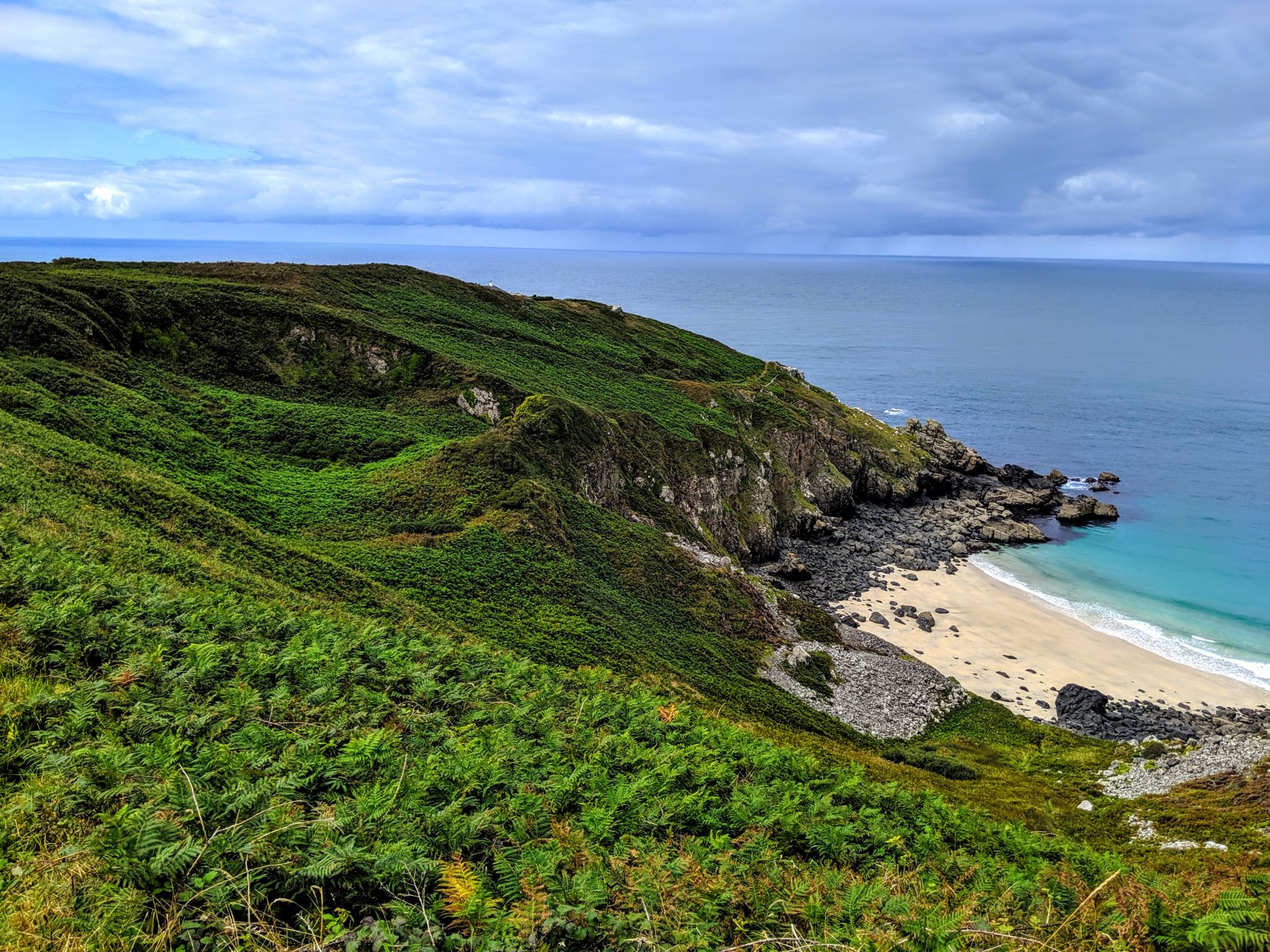
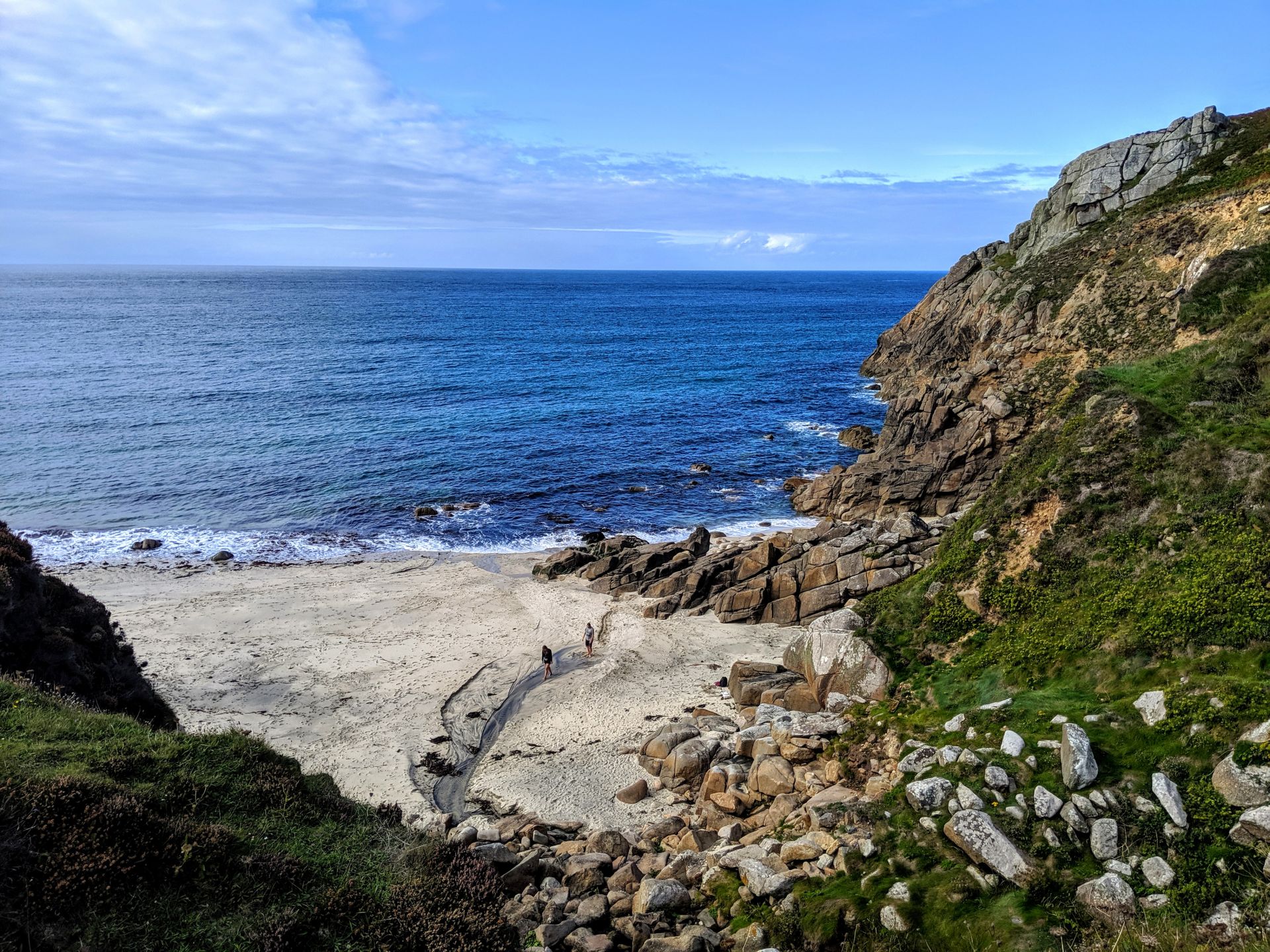
- Portheras Cove: there are often seals spotted around this secluded, sandy cove. Although incredibly beautiful and fairly unpopulated, please note that it is inadvisable to swim from this beach, or to walk on it barefoot, due to the possibility that there may still be metal fragments left from the dynamited wreck the Alacrity which ran aground in 1963.
- Pendeen Lighthouse opened in 1900 to aid ships along what is said to be one of the most dangerous stretches of coast in Britain. Part of the lighthouse can be rented as holiday accommodation through Trinity House and Rural Retreats.
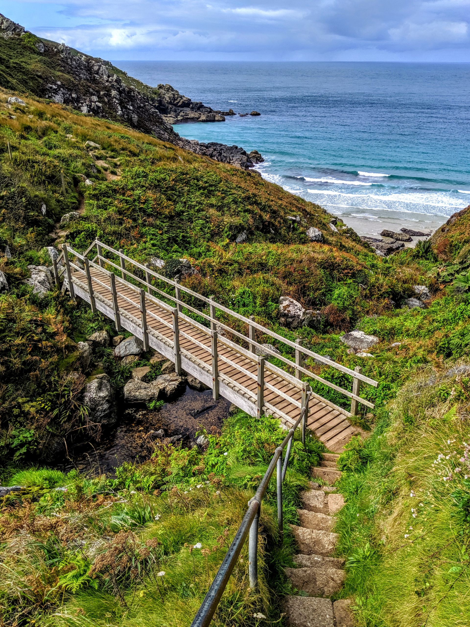
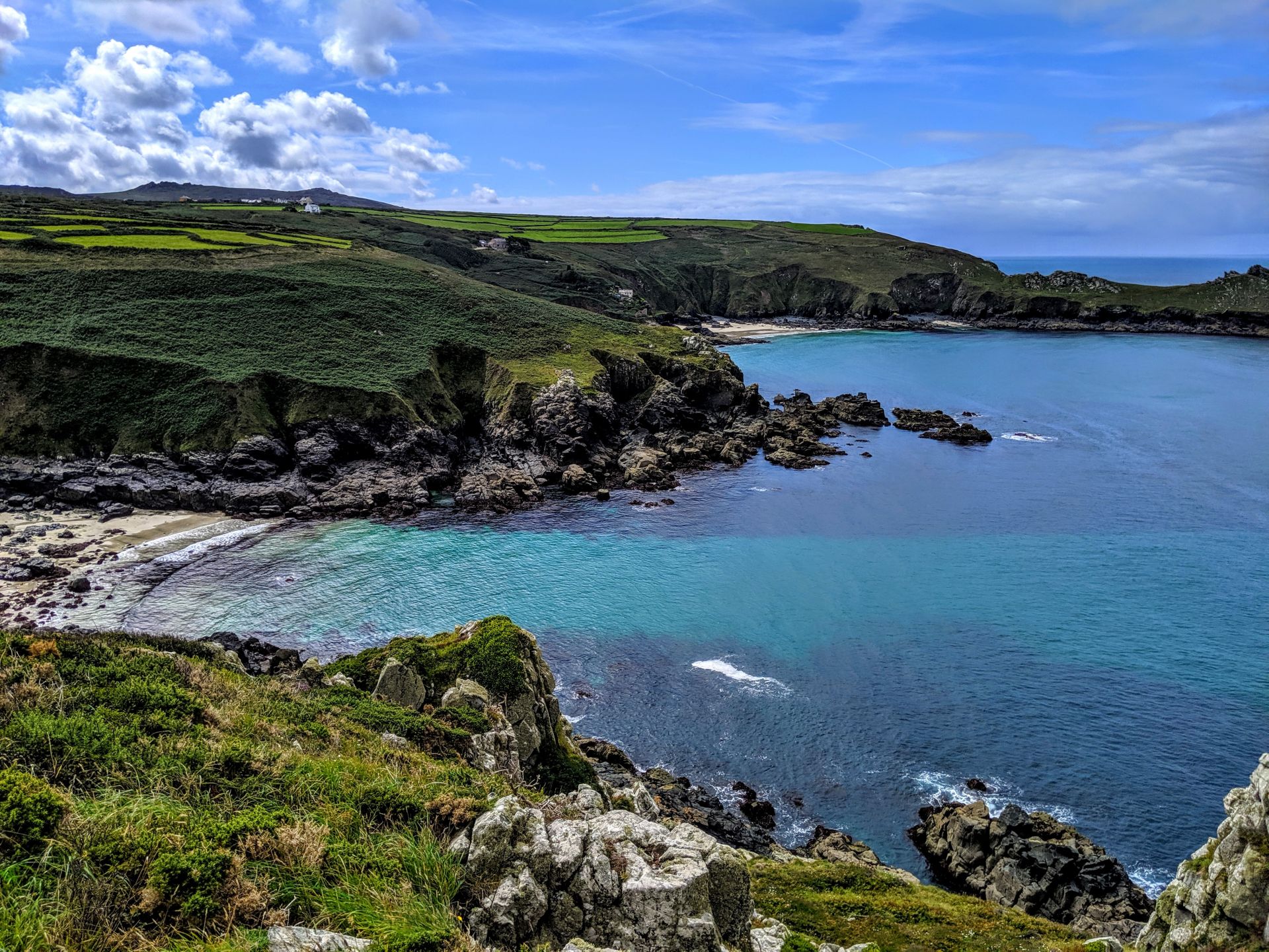
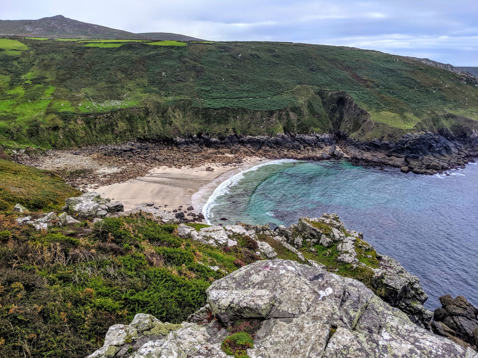
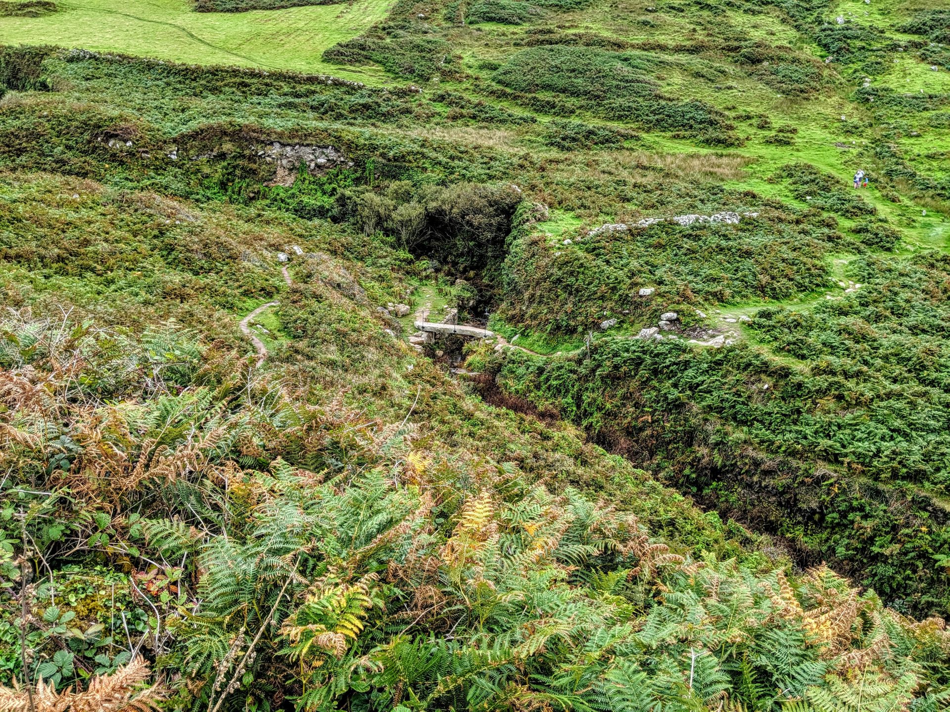
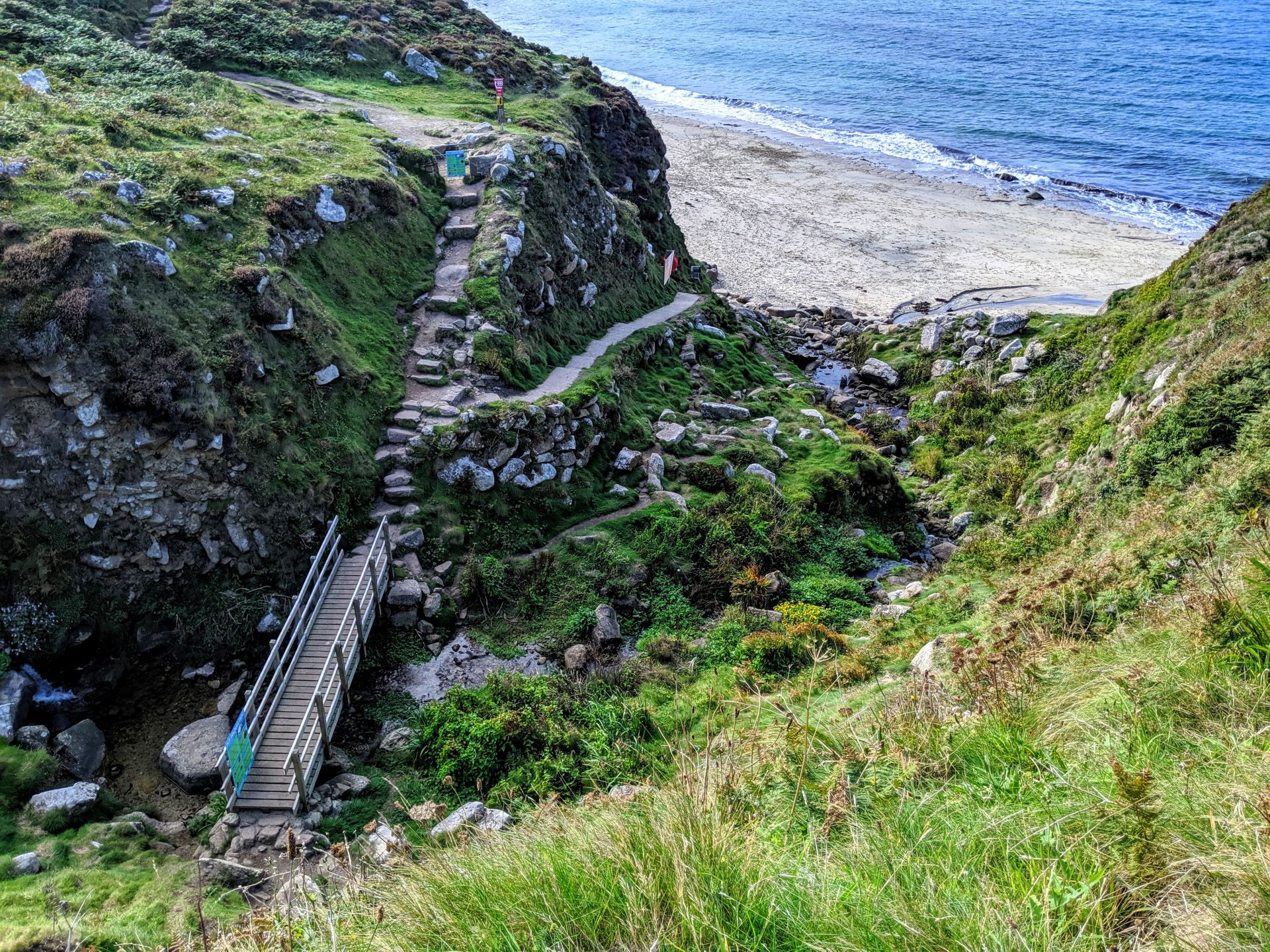
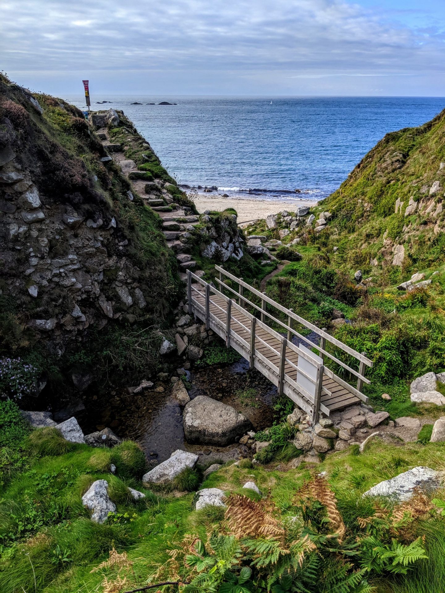
As you approach Gurnards Head on the right you pass the ruins of Chapel Jane. The official route of the coast path cuts off Gurnards Head although there is a path out to the end of the headland if you would like to explore it further. To keep to the official route keep the dry stone wall on your left soon rounding a corner, keeping the field boundary on your left. Ahead when you come to the stone wall, cross this and continue on the left hand side of the field. About half way along the left edge of the field the path goes diagonally across the field, crossing the western edge of the field about midway along and soon rounding Porthmeor Point. Rounding this headland you soon come to Porthmeor Cove a lovely rocky beach with beautiful white sand at low tide. There is access down to the beach if you feel want to visit it.
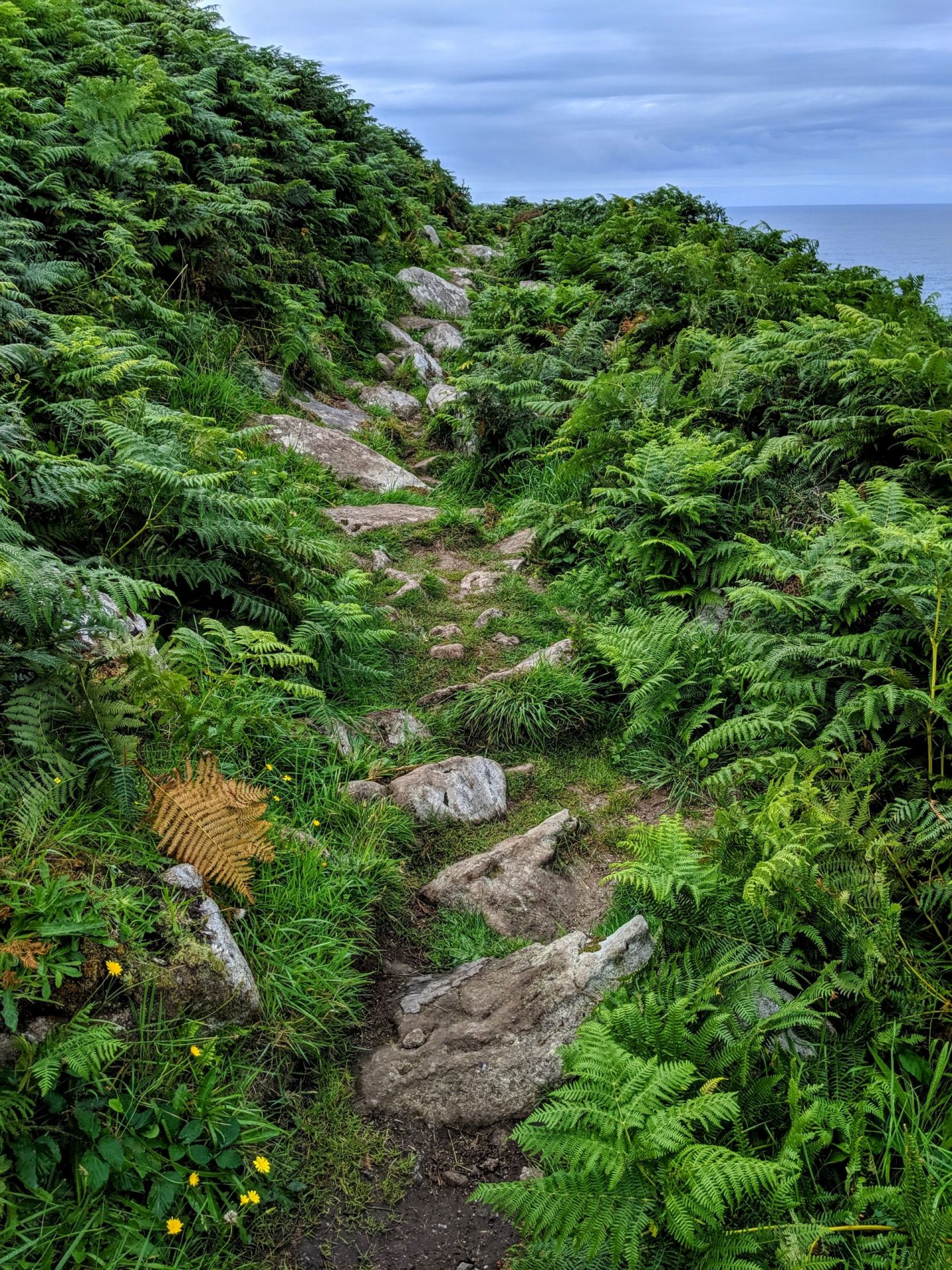
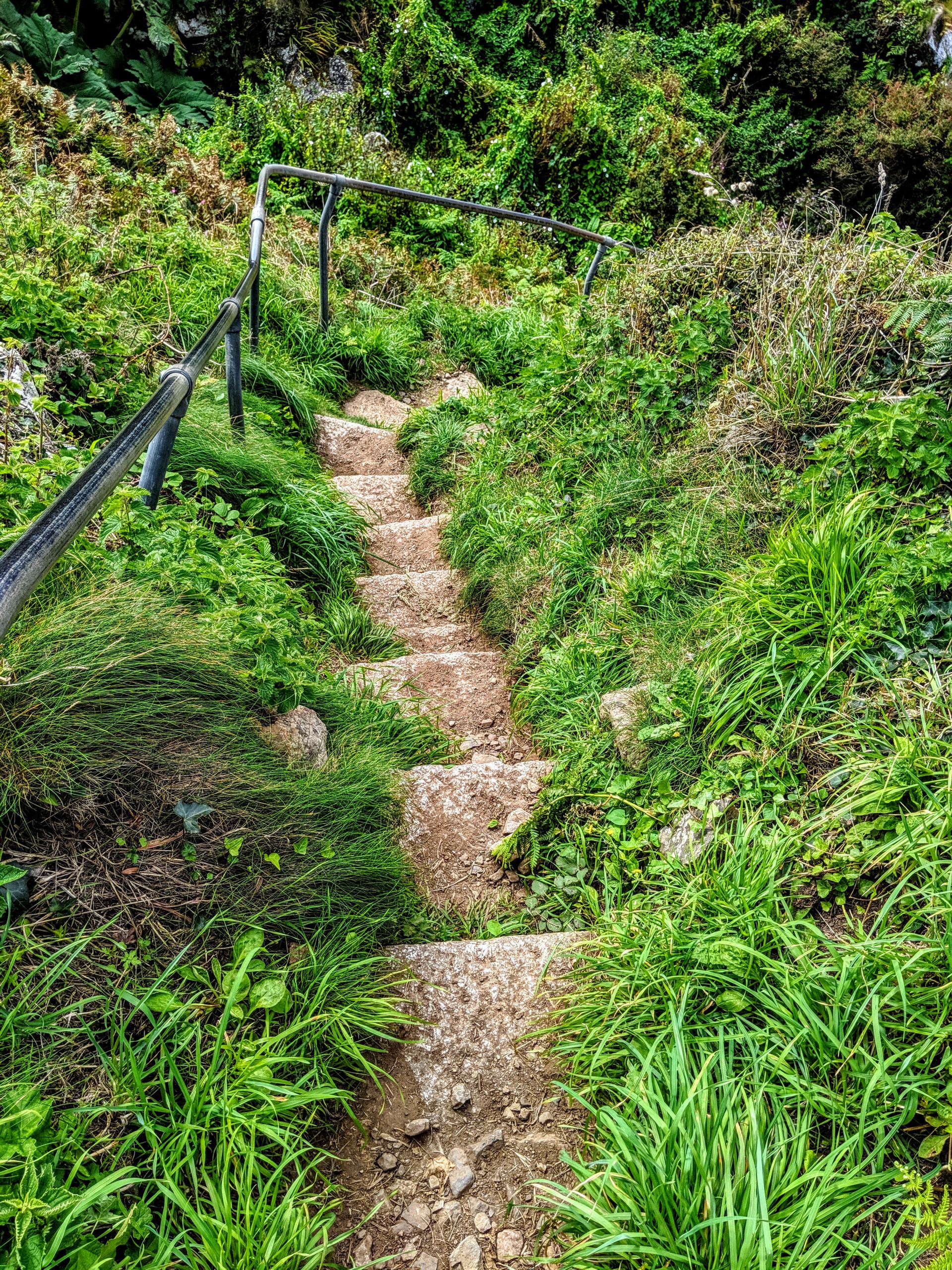
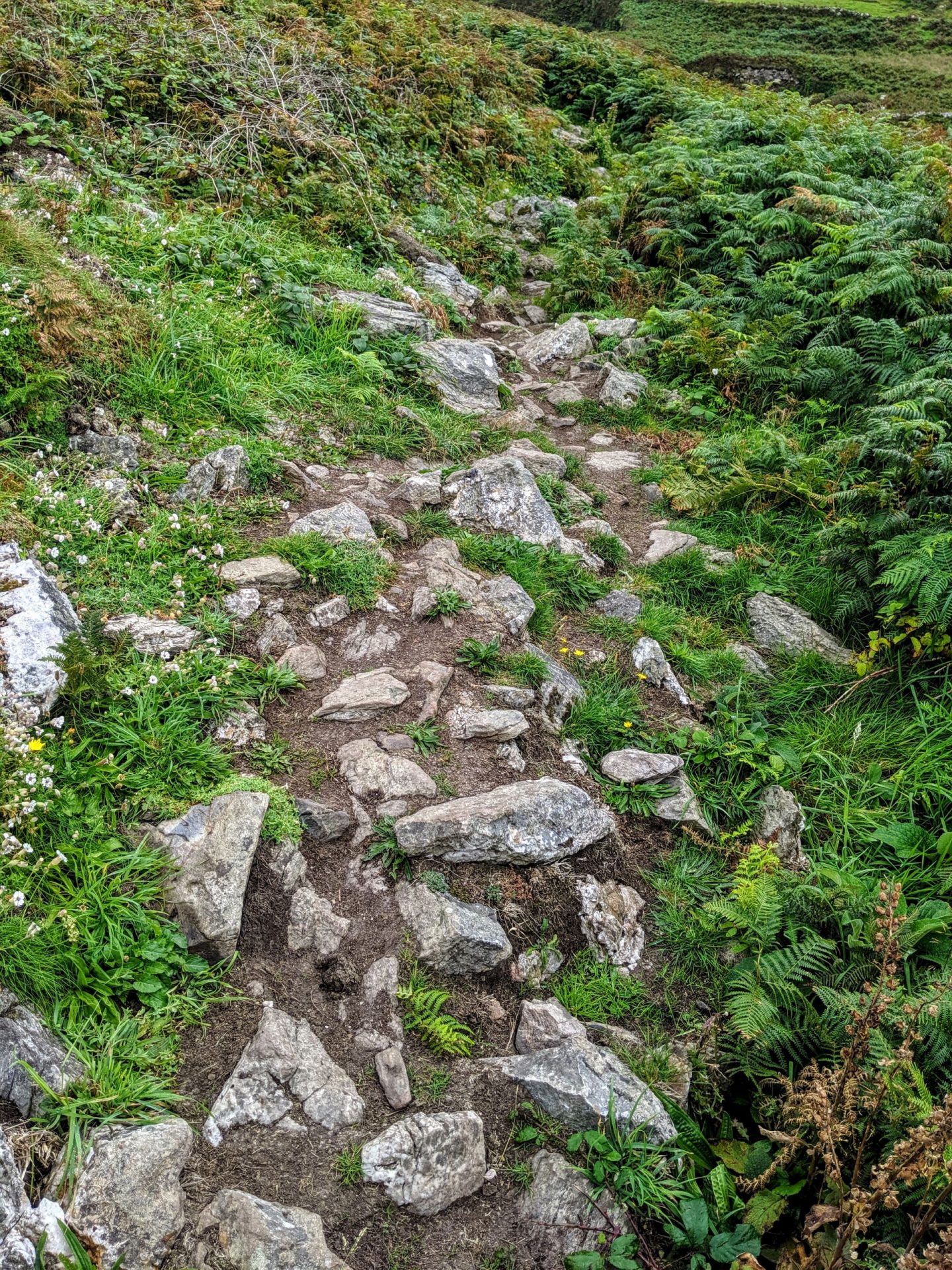
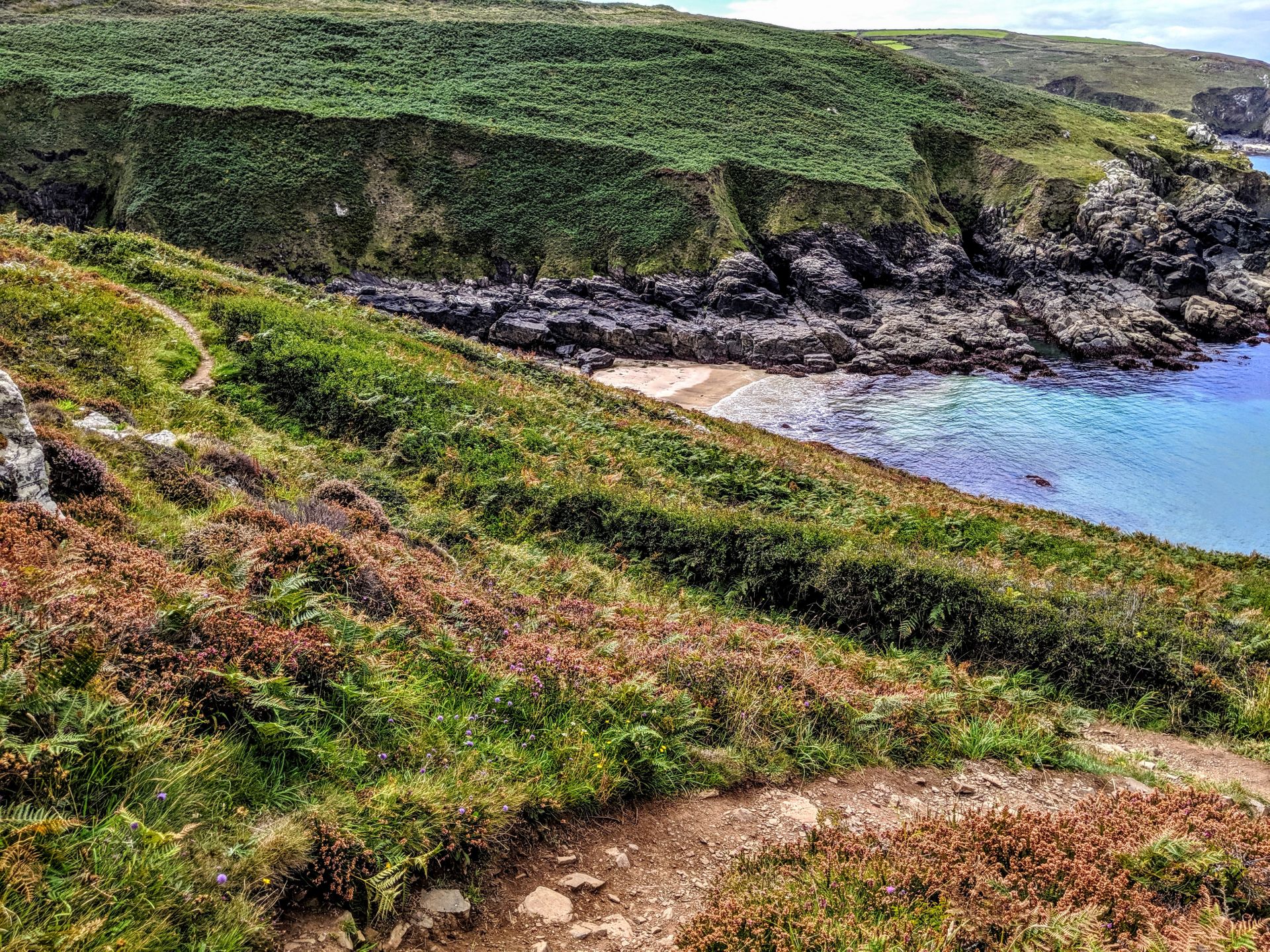
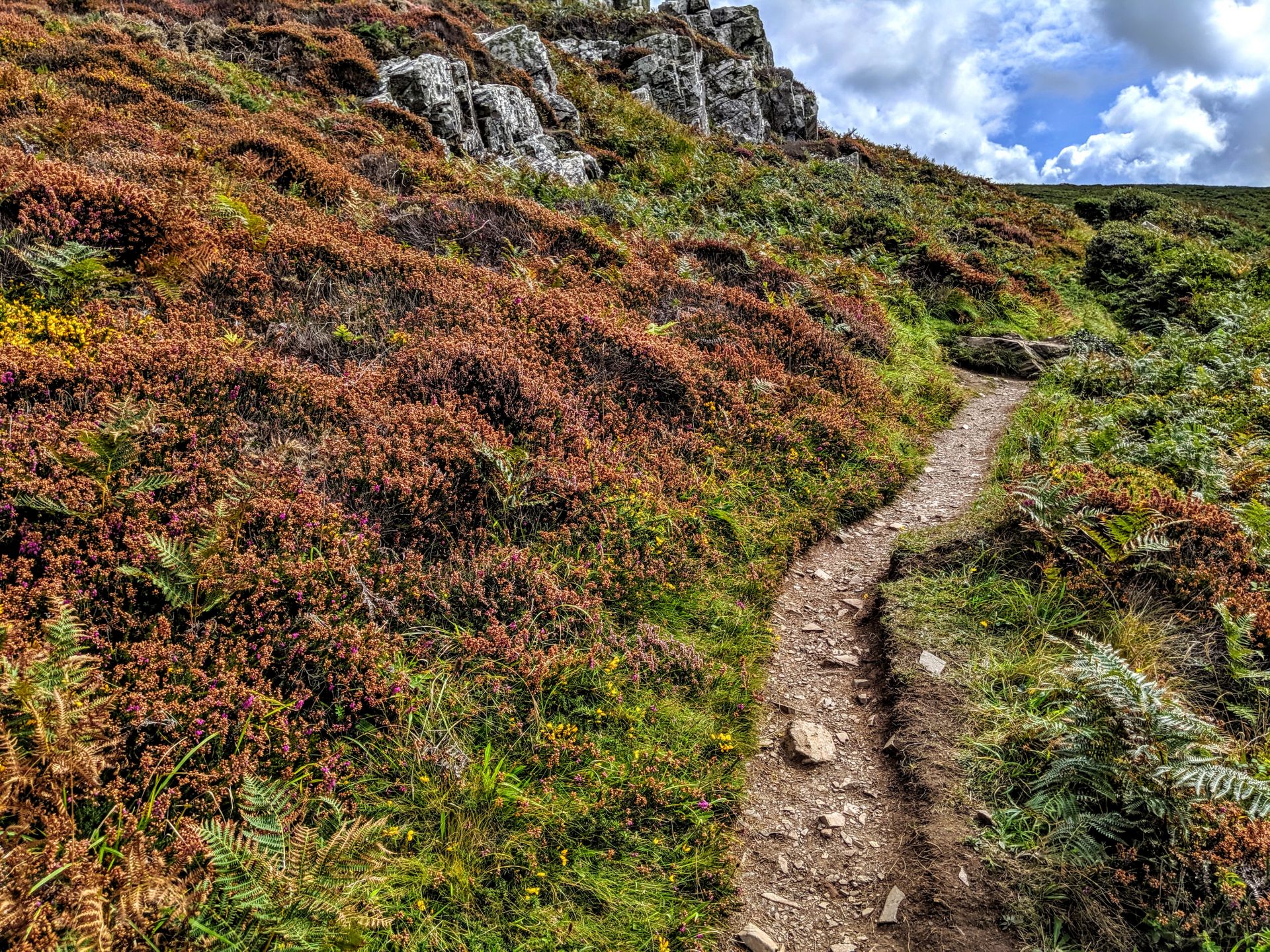
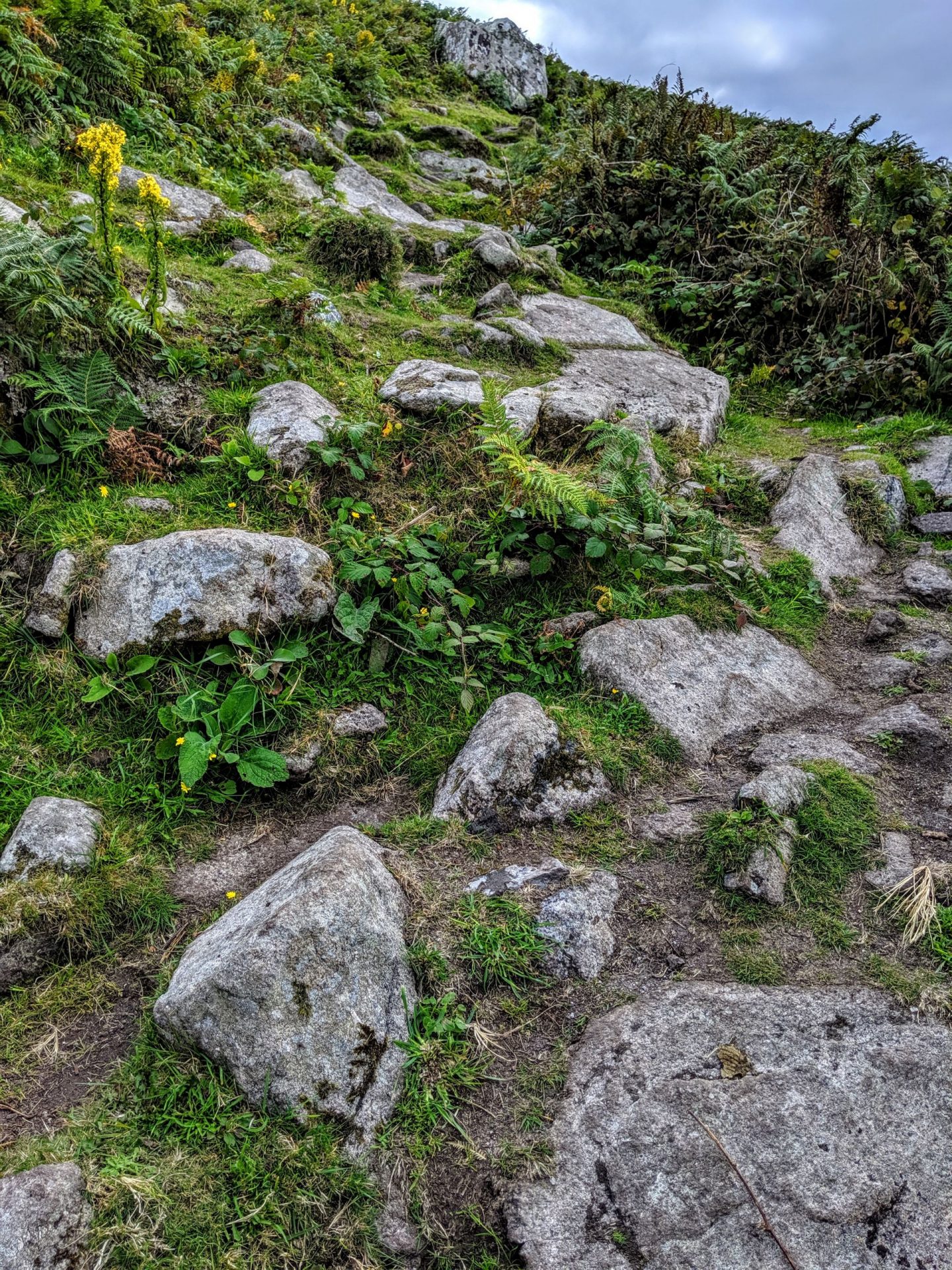
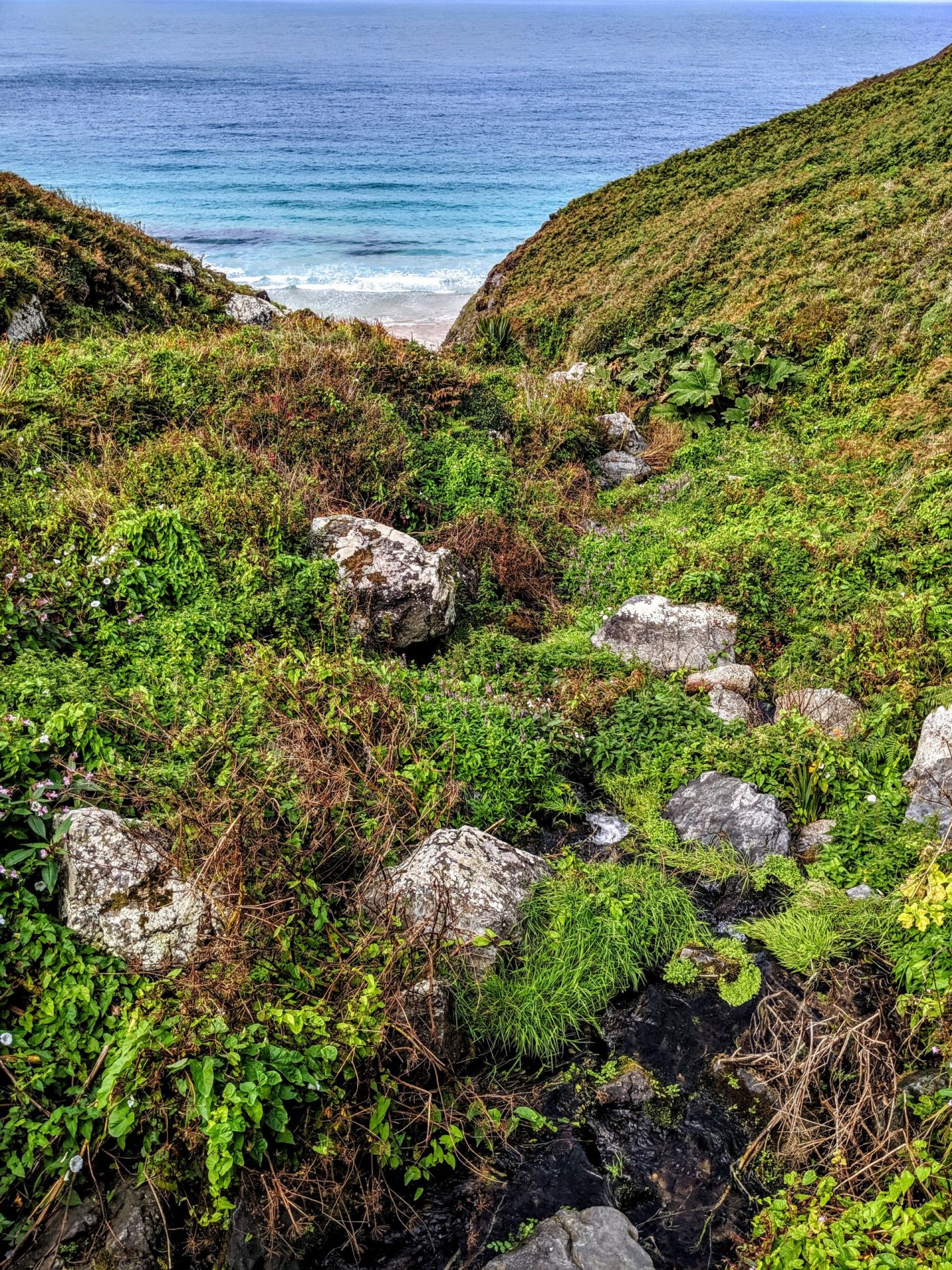
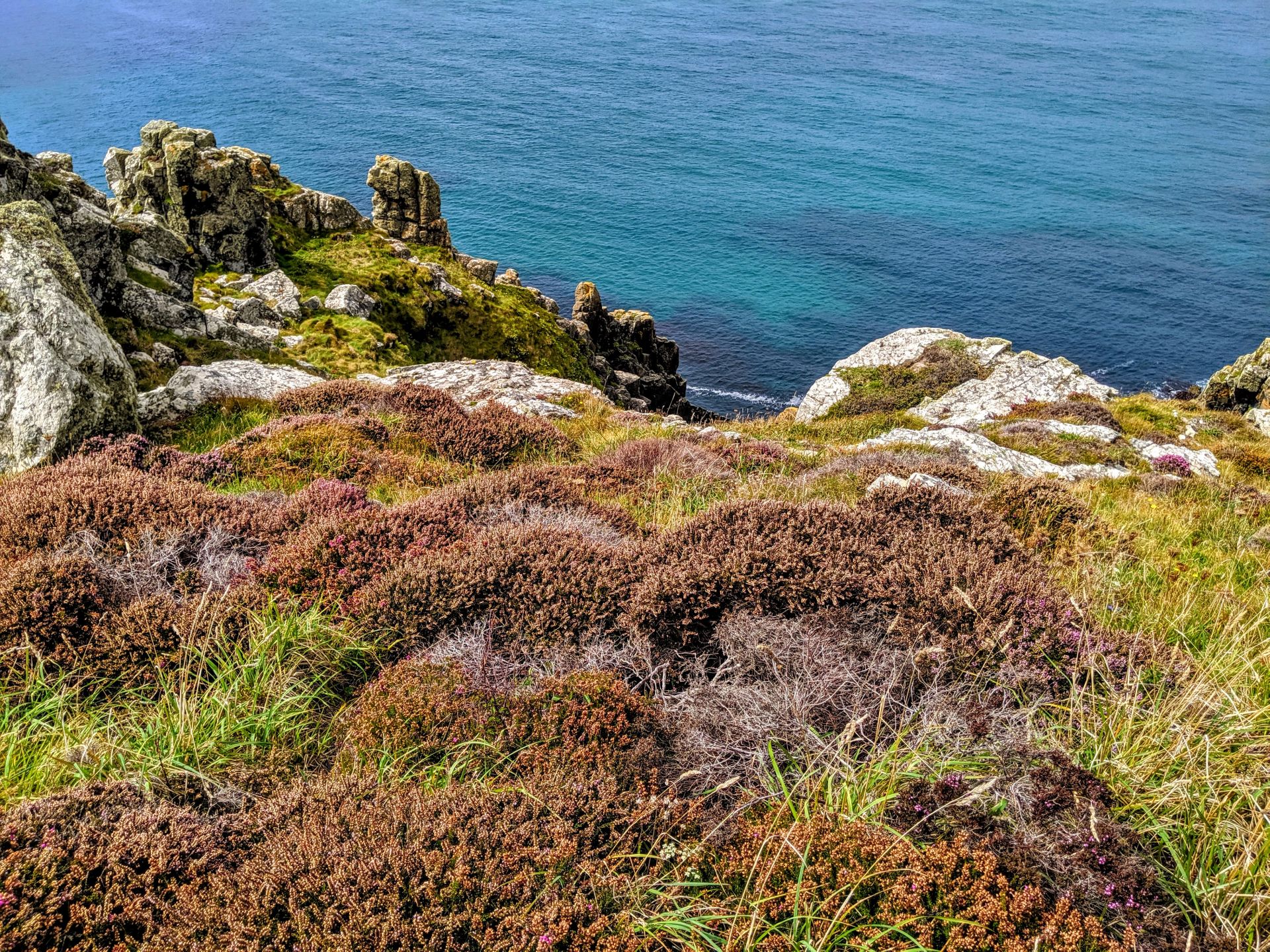
Keeping to the coast path you have to head a little inland to cross the valley and little stream that flow to the beach. Once up the other side the coast path hugs the coast and keeps outside of the numerous dry stone walls on the left although the path is rocky in places. You pass the rocky inlets of Great Zawn and Halldrine Cove and care is needed here as there is a steep drop off to the right. Continue past Bosigran Head which the path does go most of the way out onto and soon to Porthmoina Cove another rocky beach. From here for most of the rest of the walk you are never far from the extensive remains of Cornwall’s once thriving mining industry. There were many mines along the coast here (and many more inland), mostly tin mines and now mostly derelict although further west we pass a couple that have been restored.
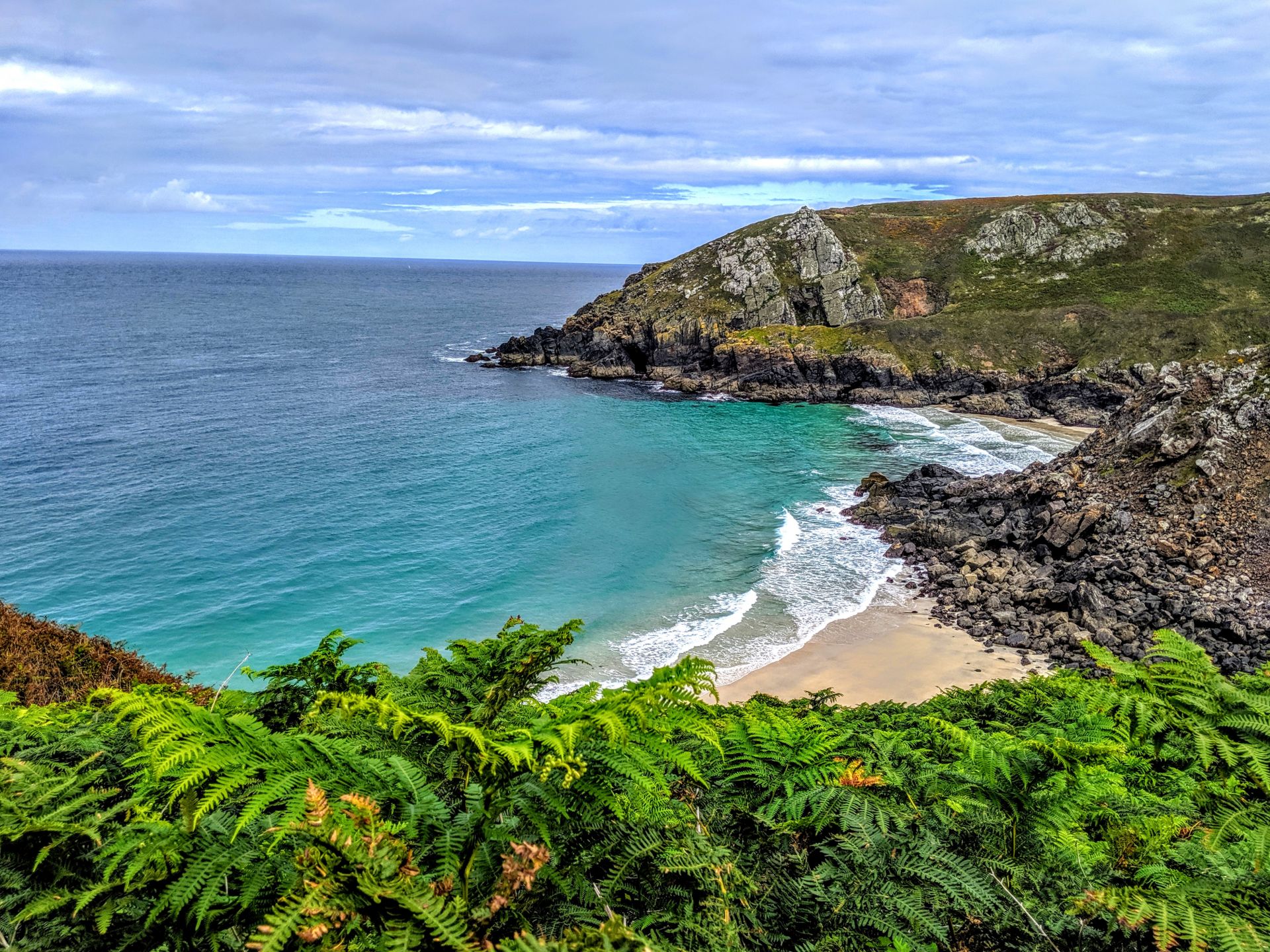
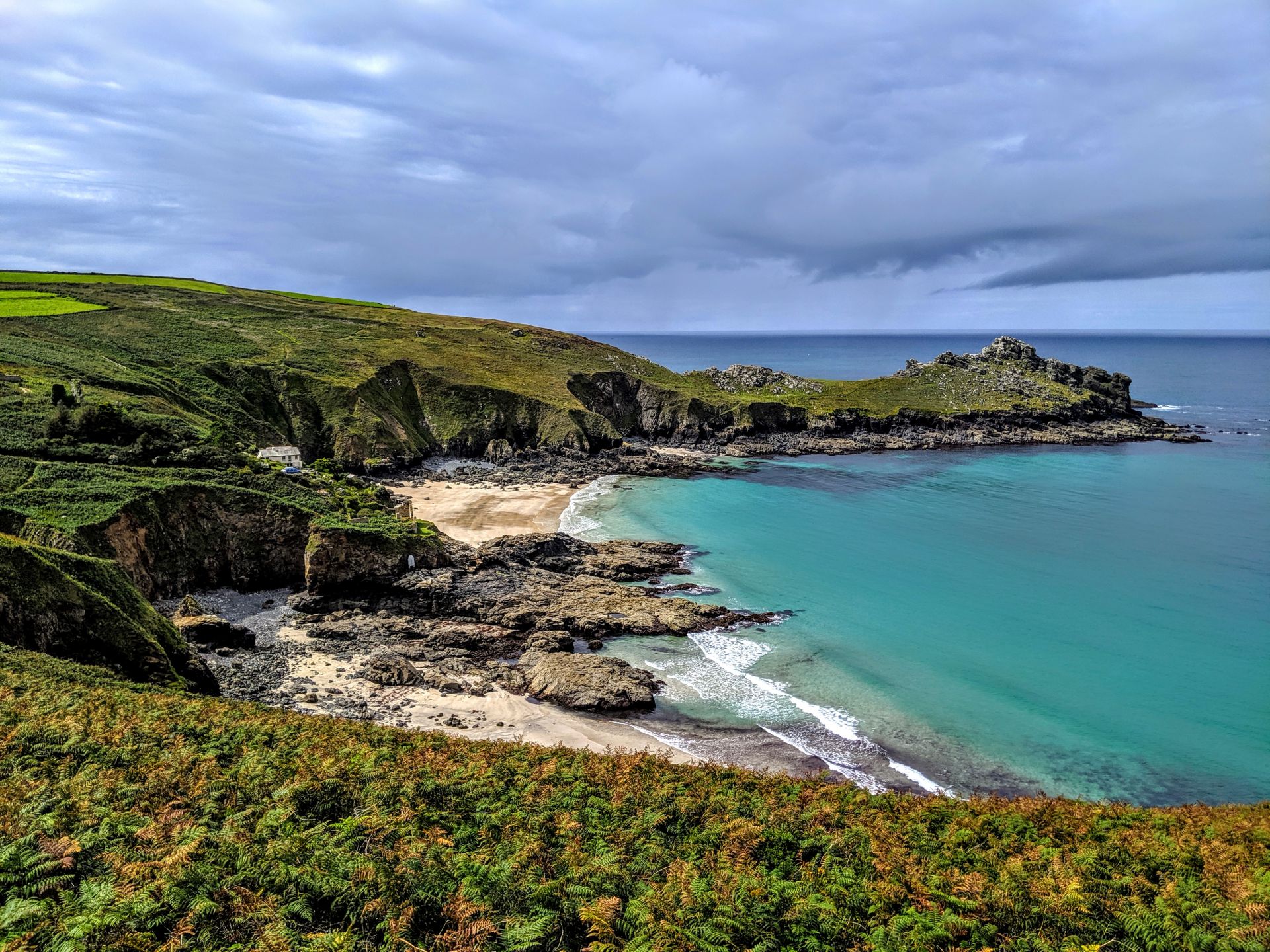
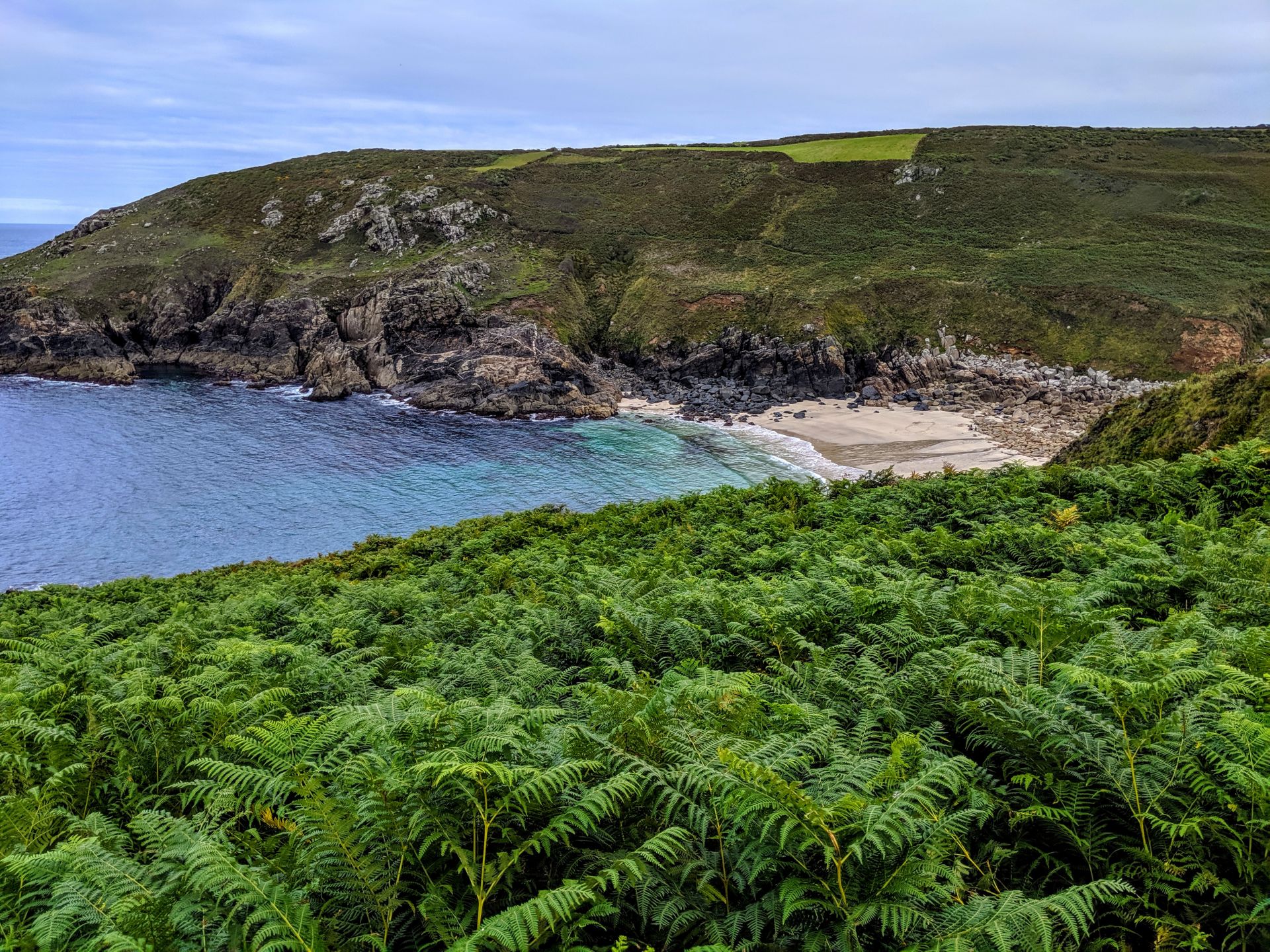
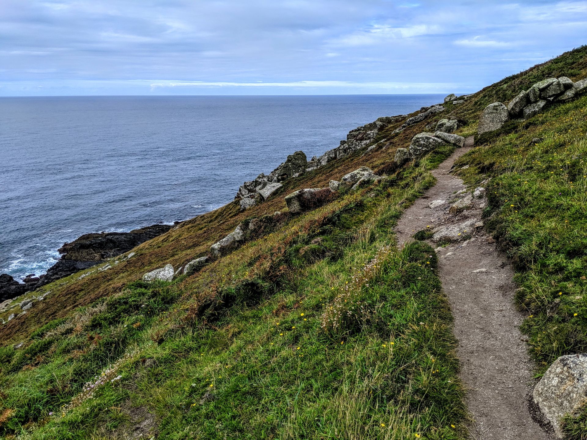
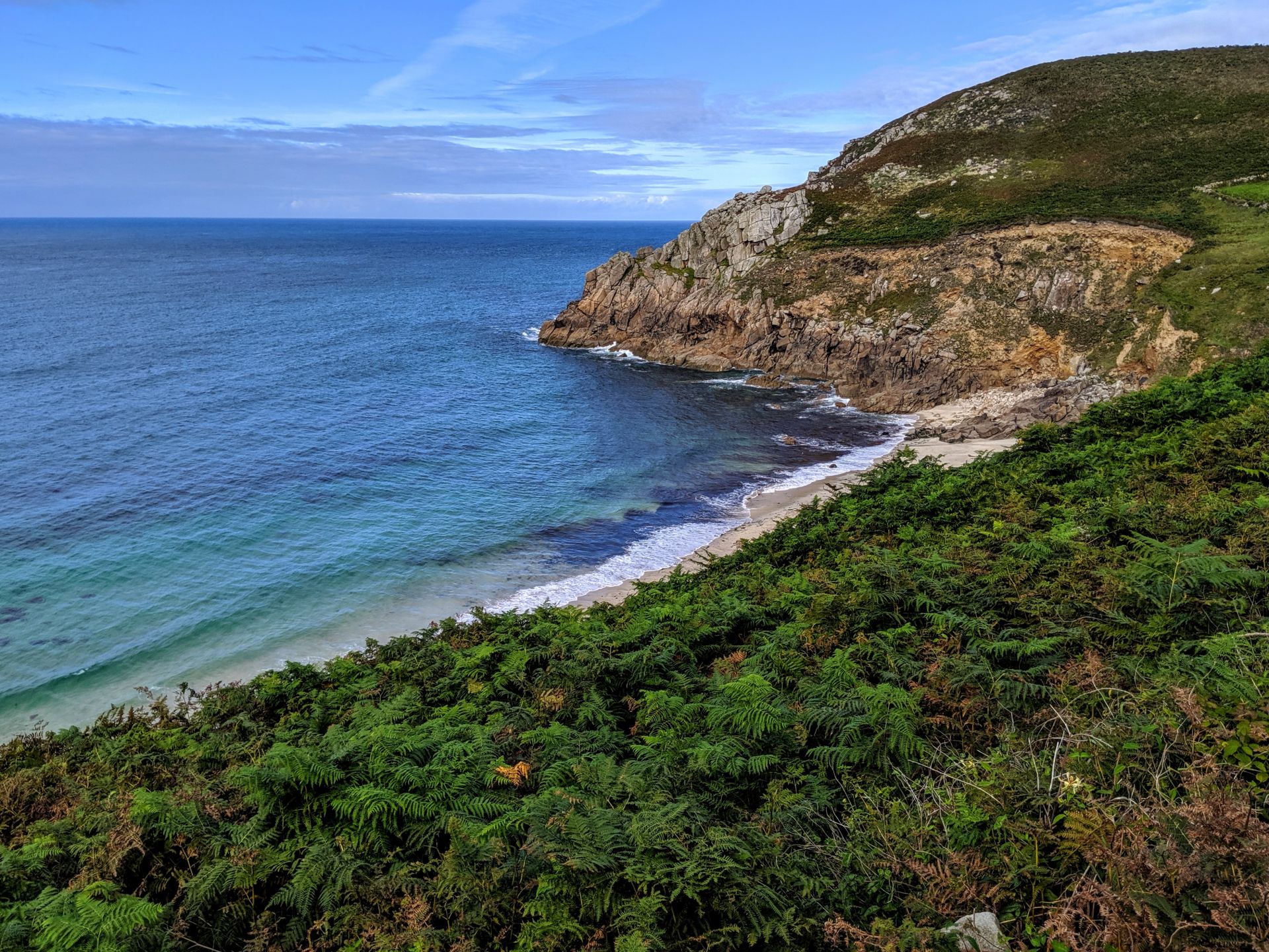
Continue on the obvious coast path along the cliff top here soon with the road close by on the left. During the summer there are buses along this road if you wish to cut the walk short. To continue on the coast path simply keep to the cliff top path and soon the coast ahead becomes a little less rocky, with the jagged rocks giving way to a covering of bracken and heather. The path here generally keeps to the cliff top and on the coastal side of any fields and is easy to follow. In a little over a mile you come to the beautiful sandy beach of Portheras Cove another stunning beach with white sand and beautiful turquoise sea. Note that there are warning signs here about sharp fragments of a ship that ran aground here buried under the beach but I understand these have now been cleared up and I didn’t notice any problems. If you can spare the time it is well worth stopping here for a rest and to enjoy the stunning beach.
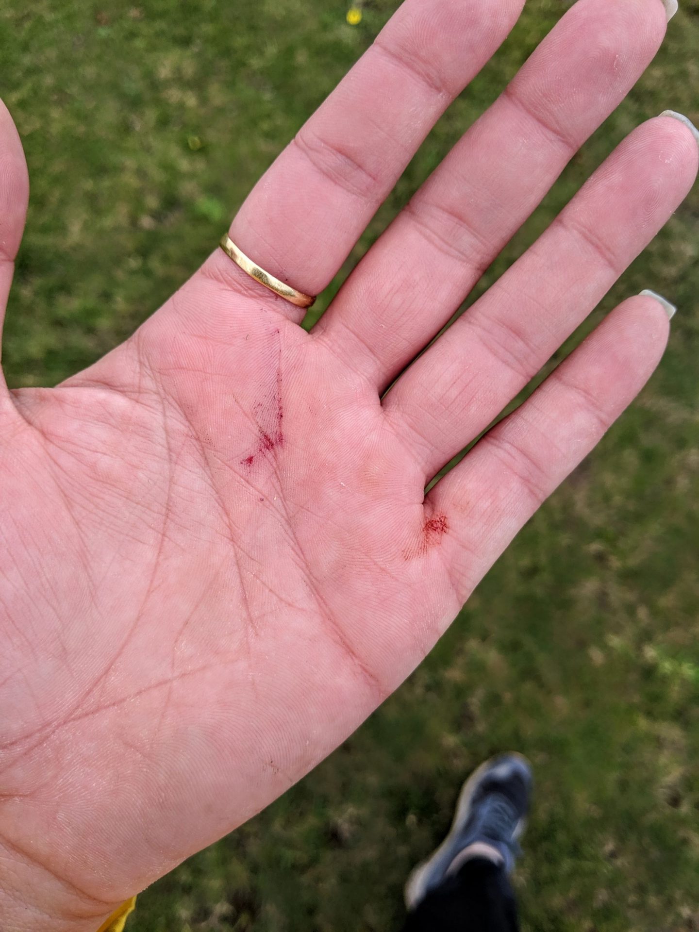
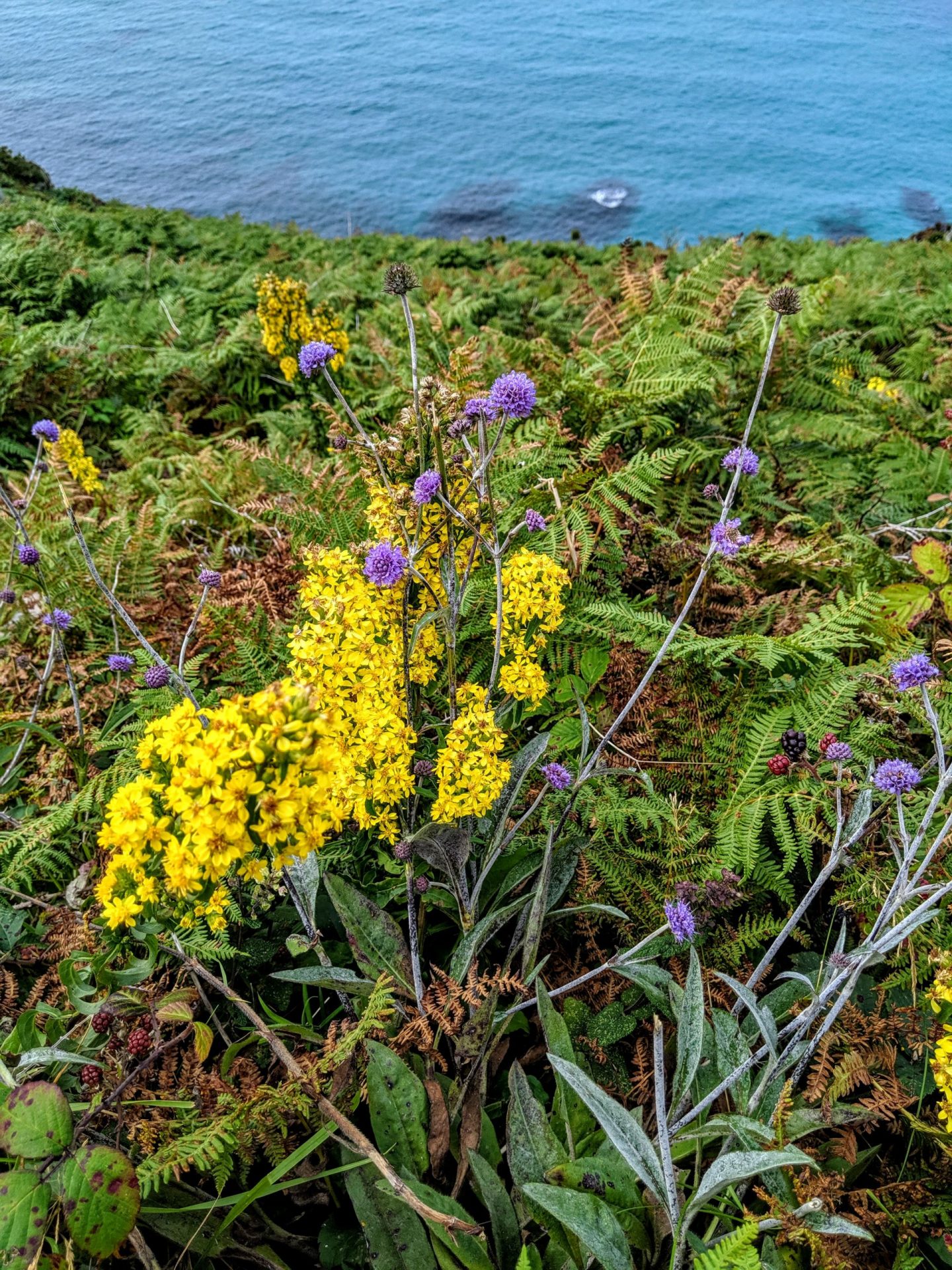
You know you have had a good day of walking when you are covered in blood and blackberry juice.
Suns out, legs out!
Portheras Cove, the last cove before finally finishing at Pendeen Watch. Pendeen Watch lighthouse has been guiding ships through this area for over a hundred years, its fairly squat white tower measuring 17 metres. Built at the turn of the 19th century, much of the rocky outcrop of the headland had to be removed to accommodate the lighthouse, fog horn and keepers’ cottages. Originally oil fuelled, the lamp became electric in the 1920s and the whole affair was made automatic in 1995.
Day one was finished and at this point I wasn’t sure whether or not I could do a second day let alone five more days! I had promised myself before I left for Cornwall that if I couldn’t walk every day that it would be fine, I wasn’t going to beat myself up over it. Just take each day as they came and see what happens!
