” I see my path, but I don’t know where it leads. Not knowing where I’m going is what inspires me to travel it.” – Rosalia de Castro

At last blog posts about my actual walking of the South West Coast Path! My first day of walking was actually St Ives to Pendeen which is a total of 14 miles, as I take so many pictures and loved each mile I have split the coastal path sections into two blog posts each, so I hope you enjoy posts about walking because its going to be a long couple of weeks otherwise. St Ives to Zennor Head is about 6.5 miles.
So walking a coastal path on your own can be a little tricky in regards to getting from A to B but usually I park my car at the end and catch a bus to the start, this was the first time I have done multiple days walking and decided for next years trip down to Cornwall I am just going to hike with my camping gear and camp every night in different locations. The problem with the sections were they were a little short for me and there was a lot of waiting around for buses, it would have been better to be able to set my own pace for the days.
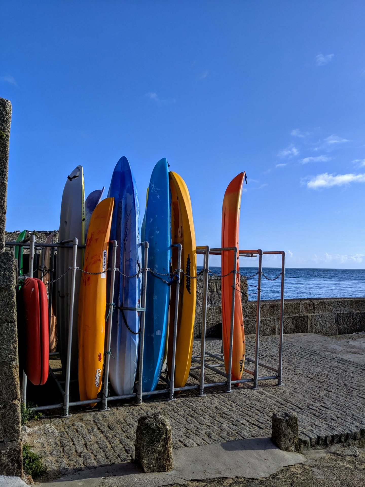
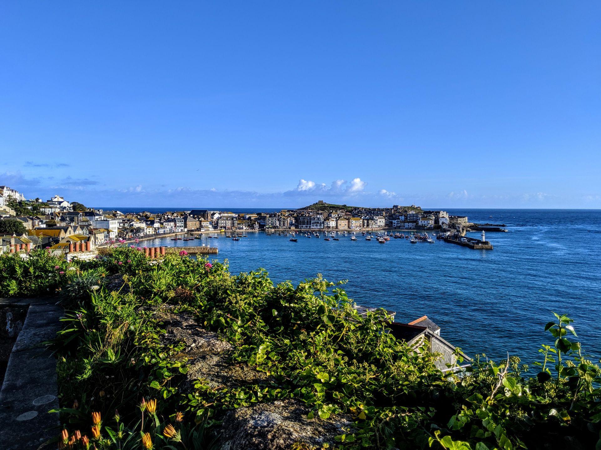
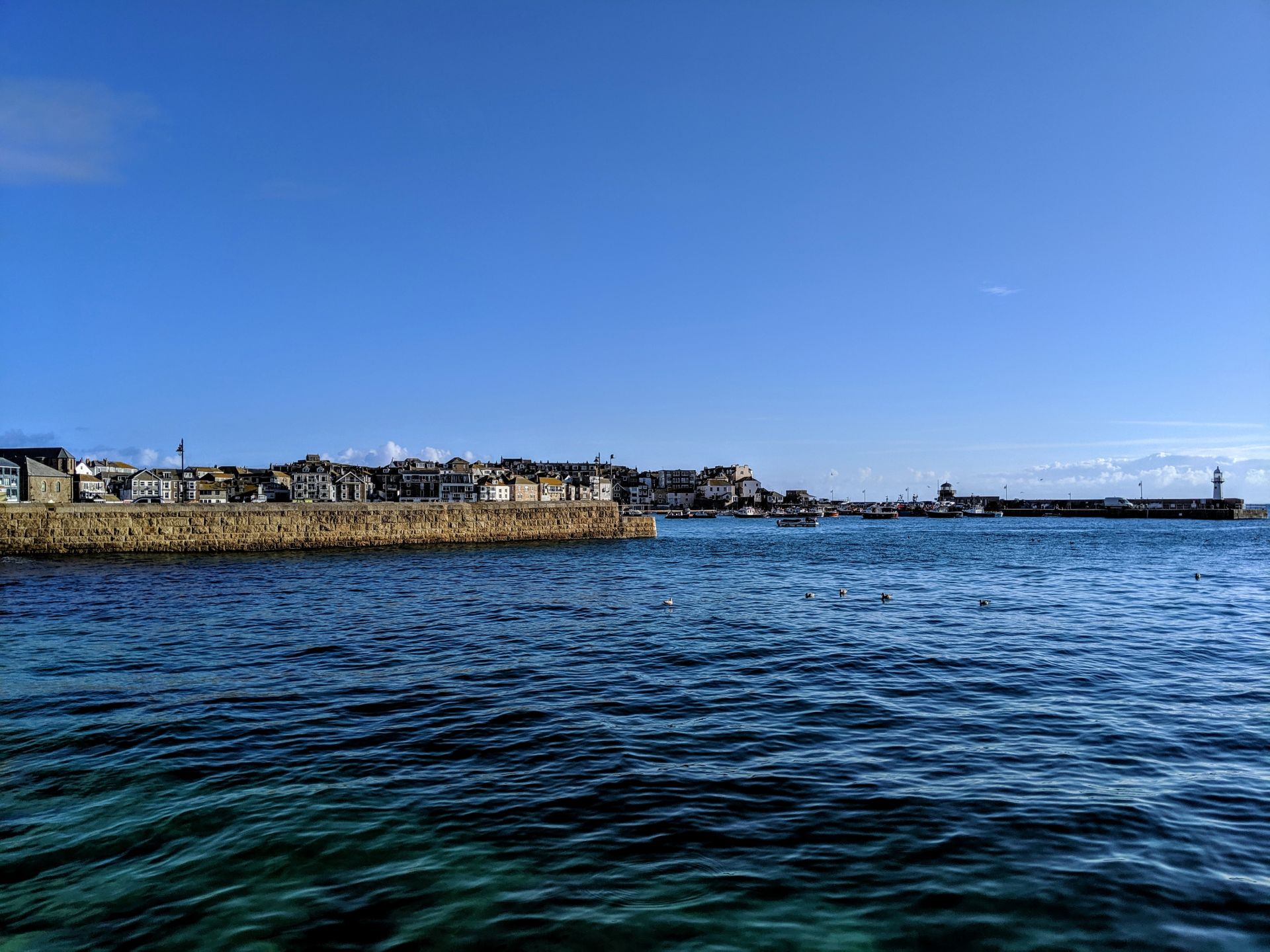
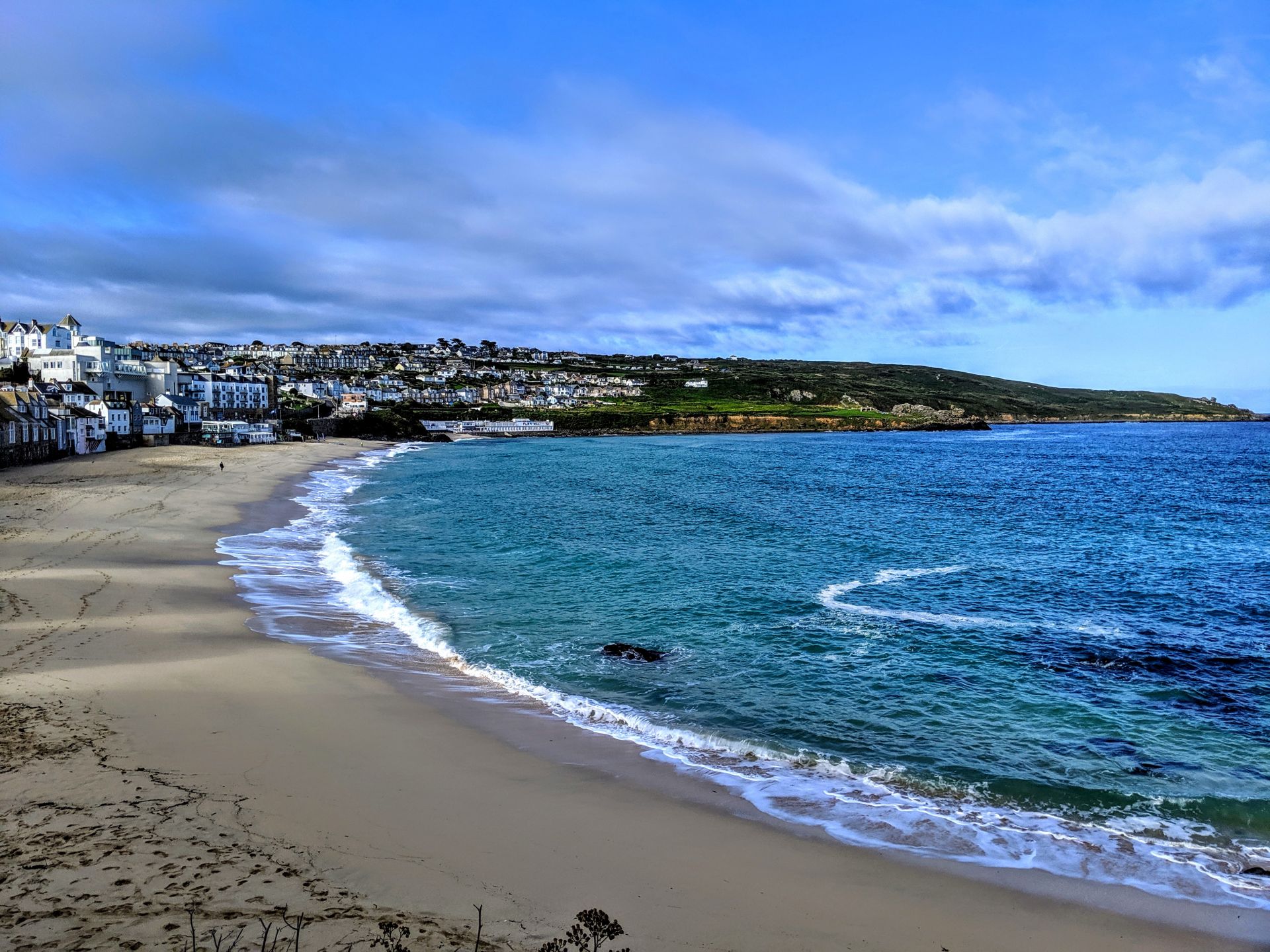
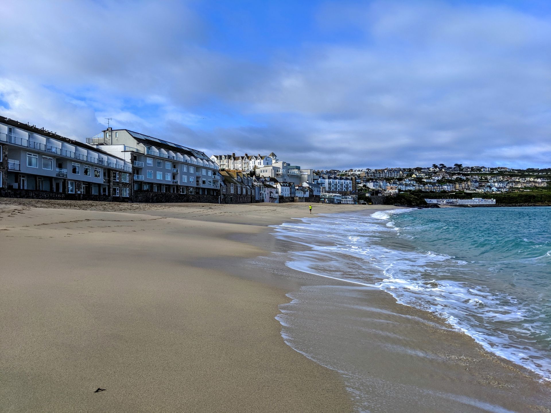
St Ives is one of my favourite places in Cornwall or so I thought, its been ten years since I last visited and I have to admit it is absolutely nothing like I remember, nothing. Its a lot bigger then I remember! Again because of limited time and needing to get back to my car I didn’t get time to explore the town so I just started walking. When you read about coastal paths they never tell you the starting point of each section, I guess they assume you just carry on from the last section which is never the case for me! So once I jumped off the bus I was a little lost in regards to starting but I just headed to the sea and figured I should follow the coast until I pic up one of the signposts.
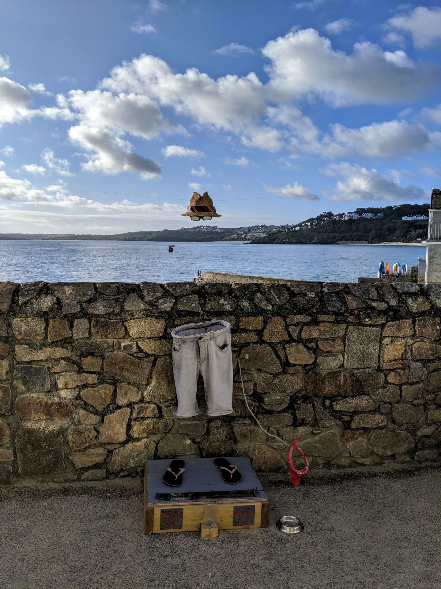
St Ives invisible man!
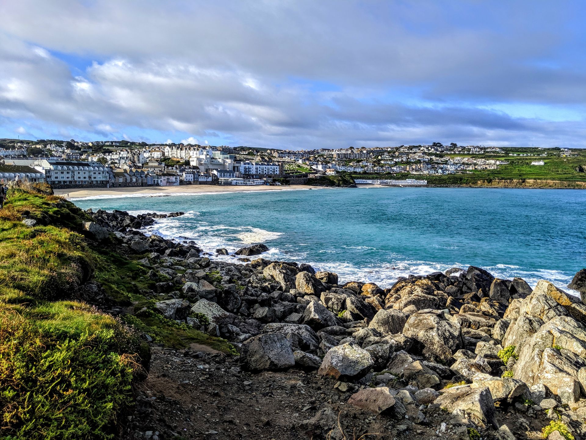
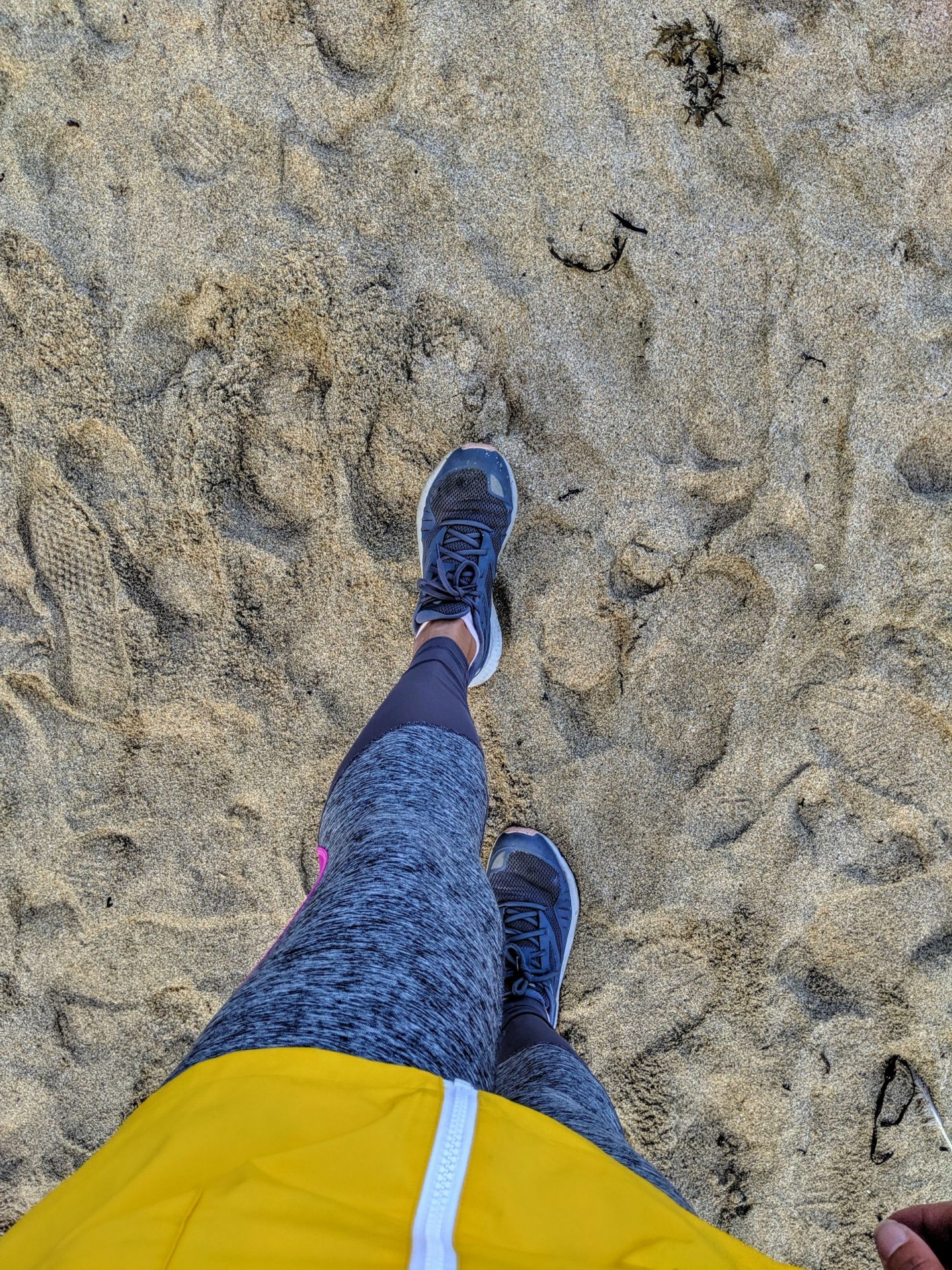
Eventually I picked up the coastal path from the west side of Porthmeor Beach. You don’t need to go down to the beach itself, but follow the pathway around the back of the bowling club and out to the headland known as Man’s Head. But of course I went to the shoreline and within the first 10 minutes of my walk I ended up with one very cold wet foot!
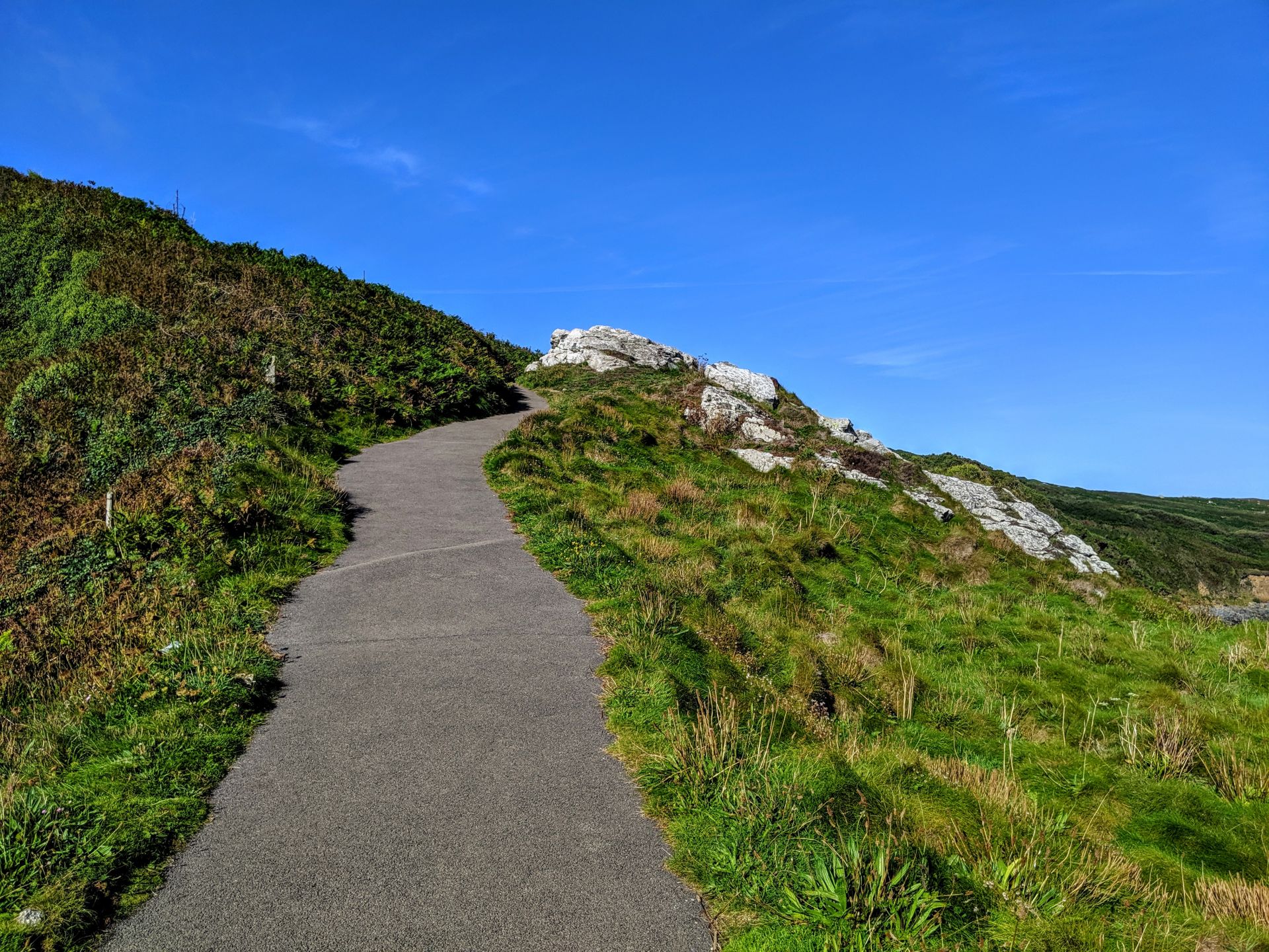
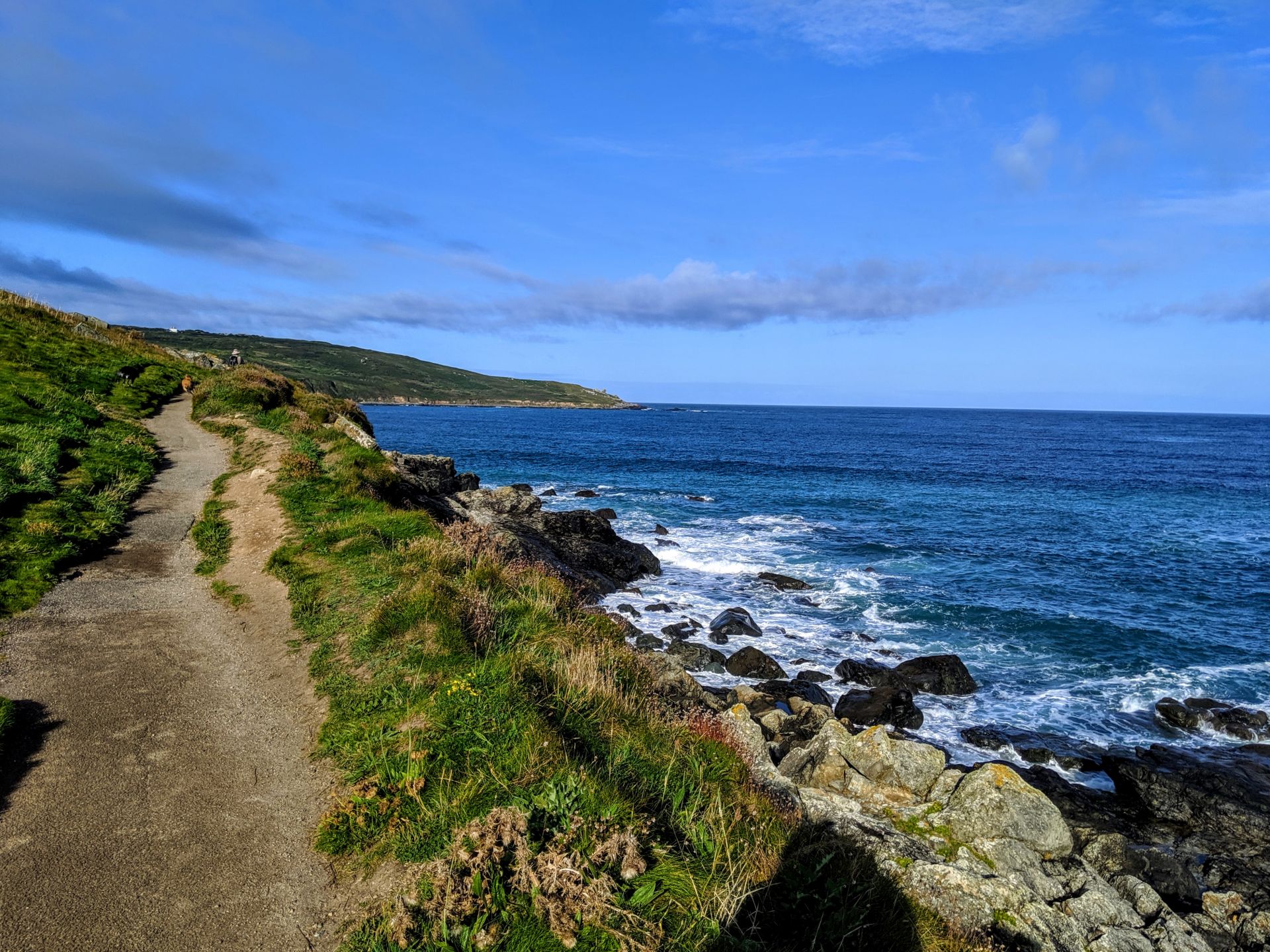
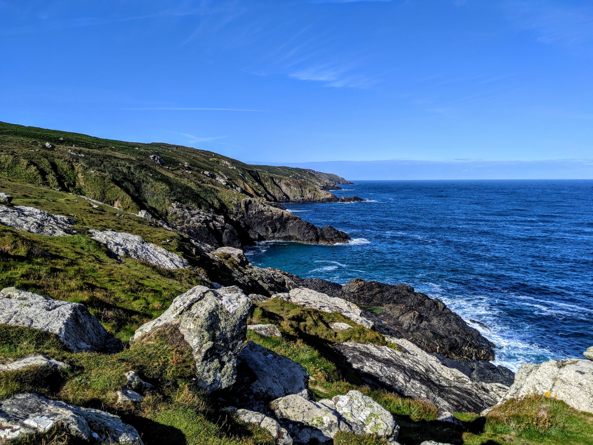
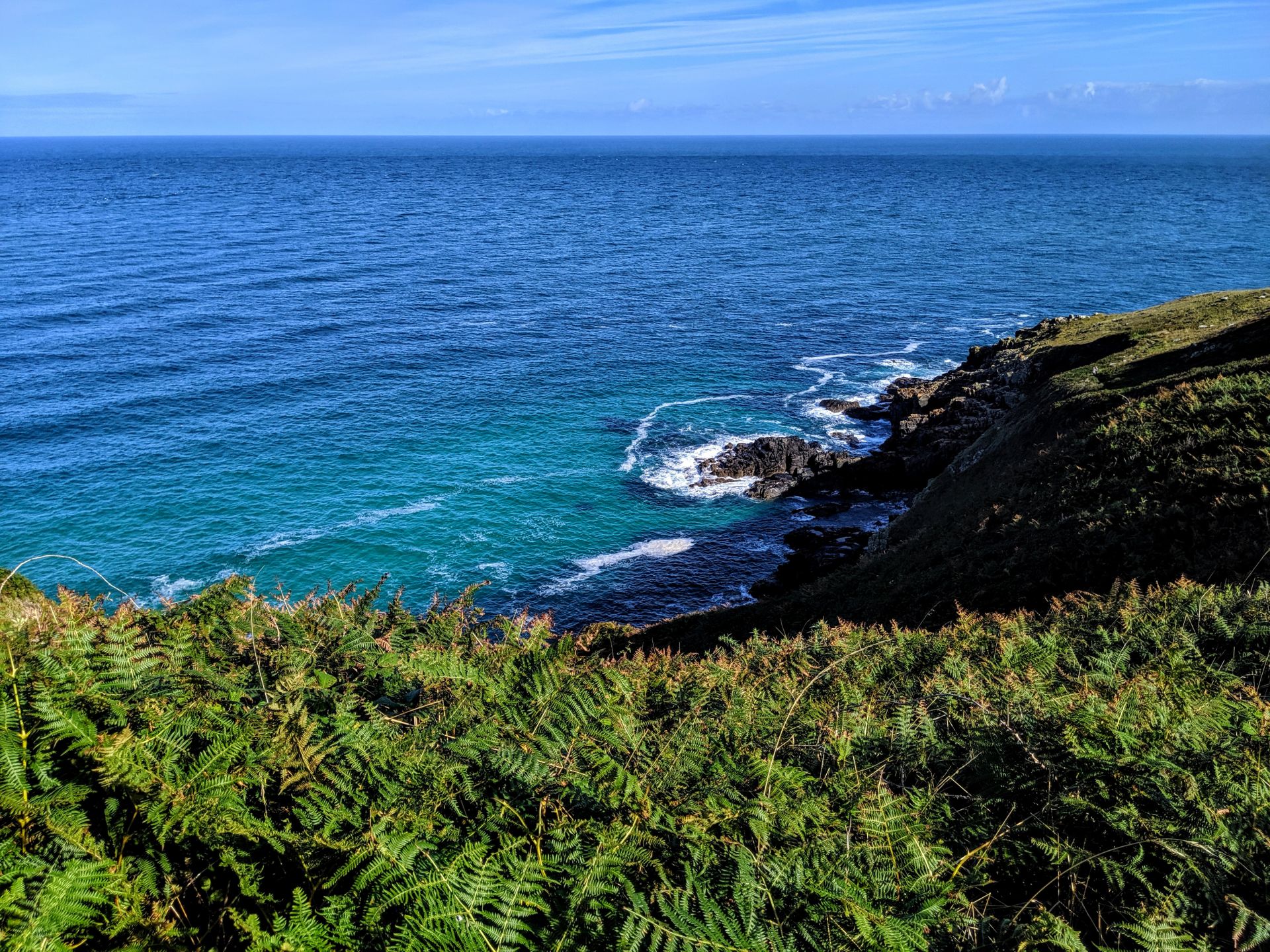
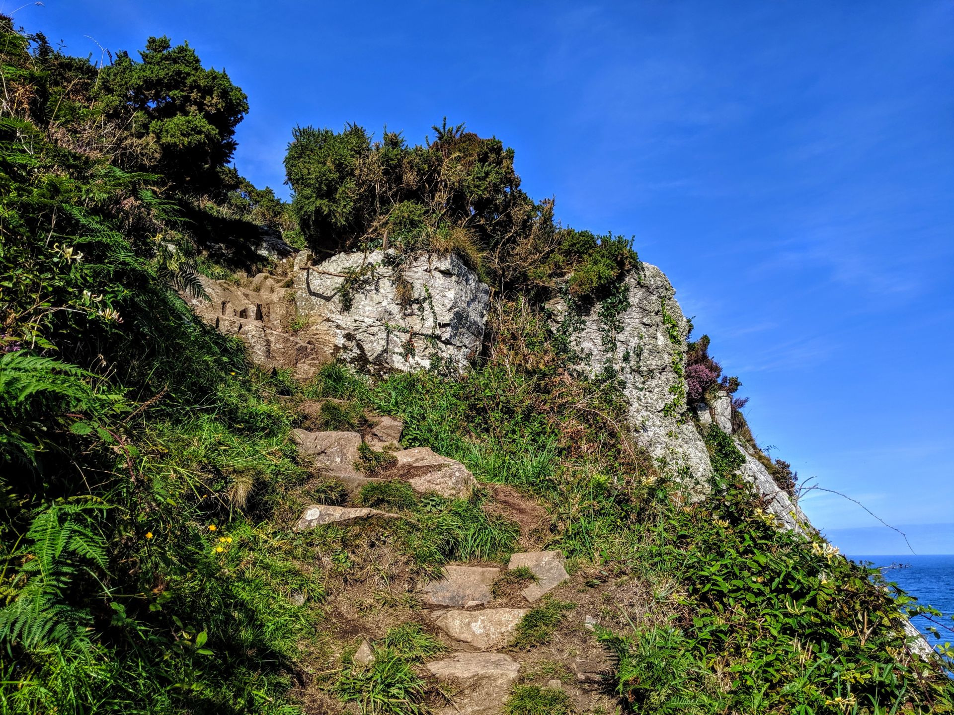
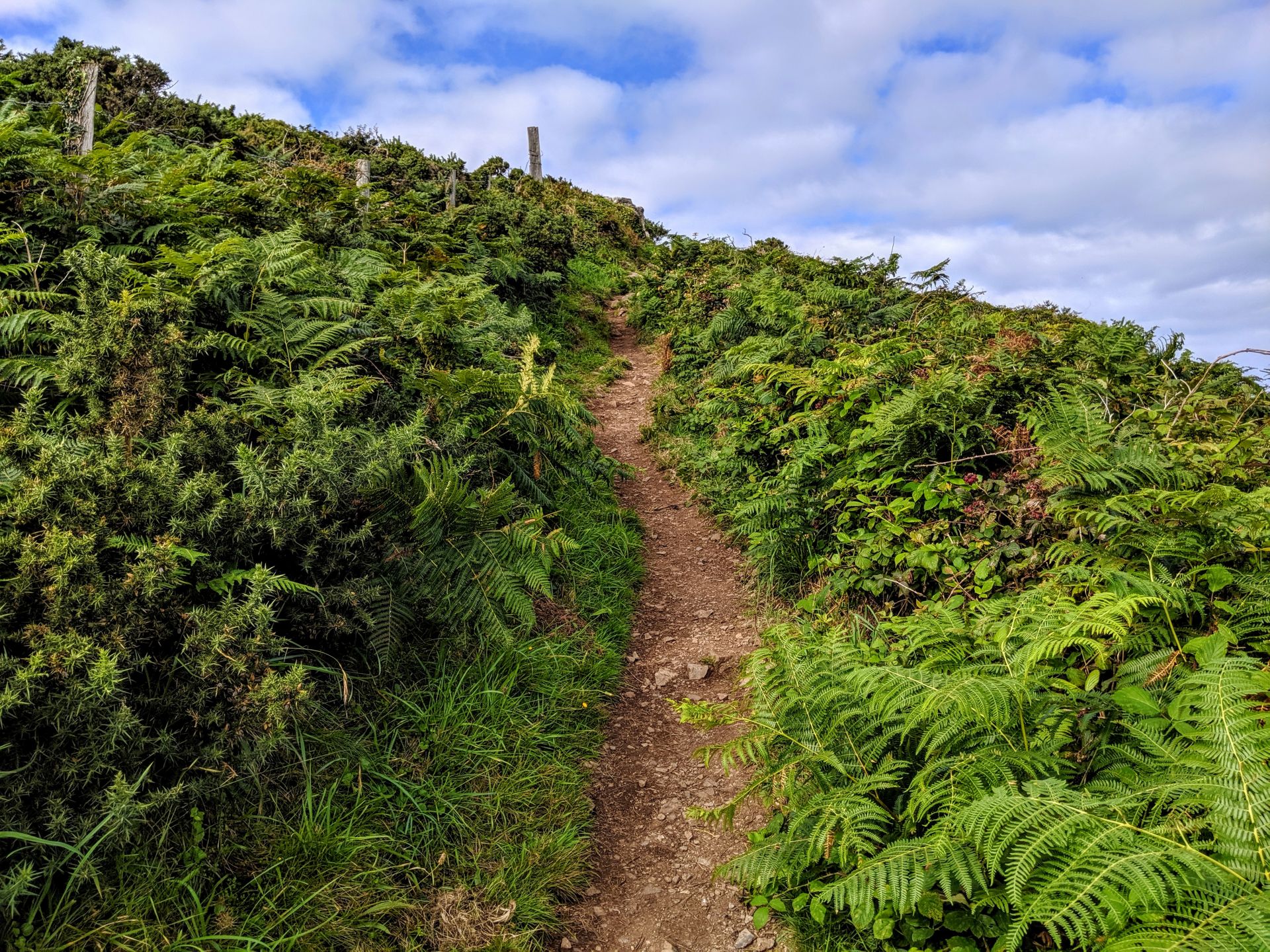
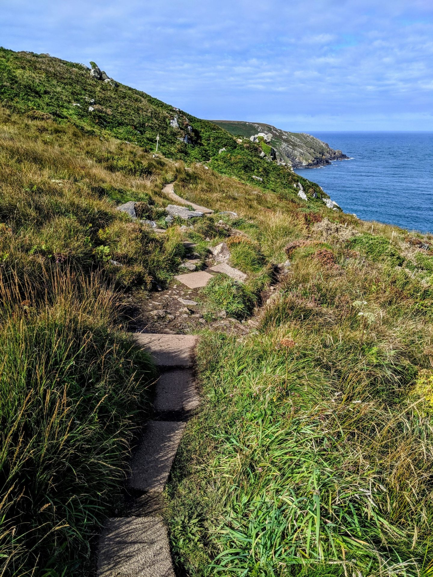
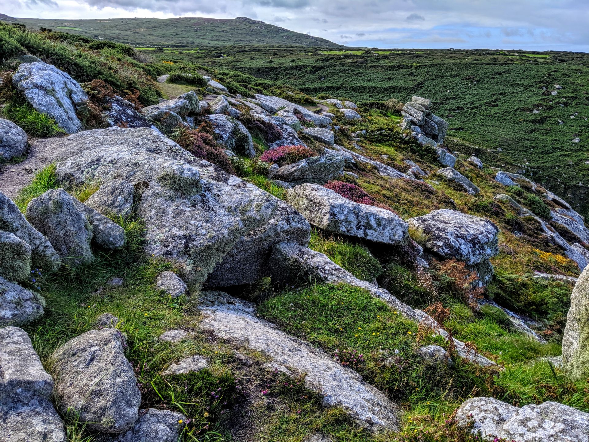
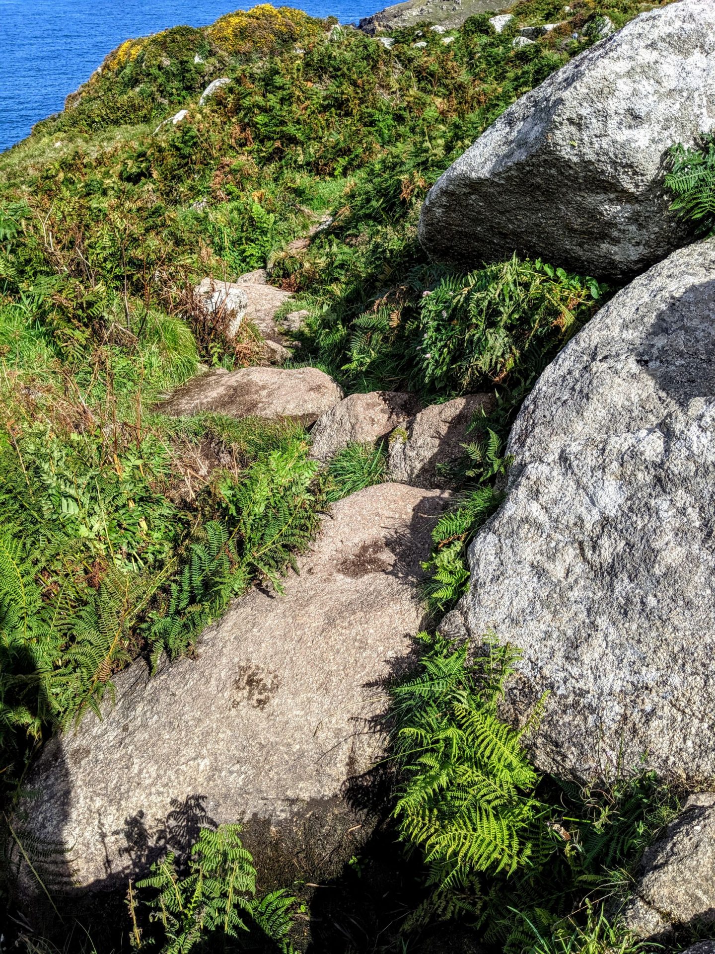
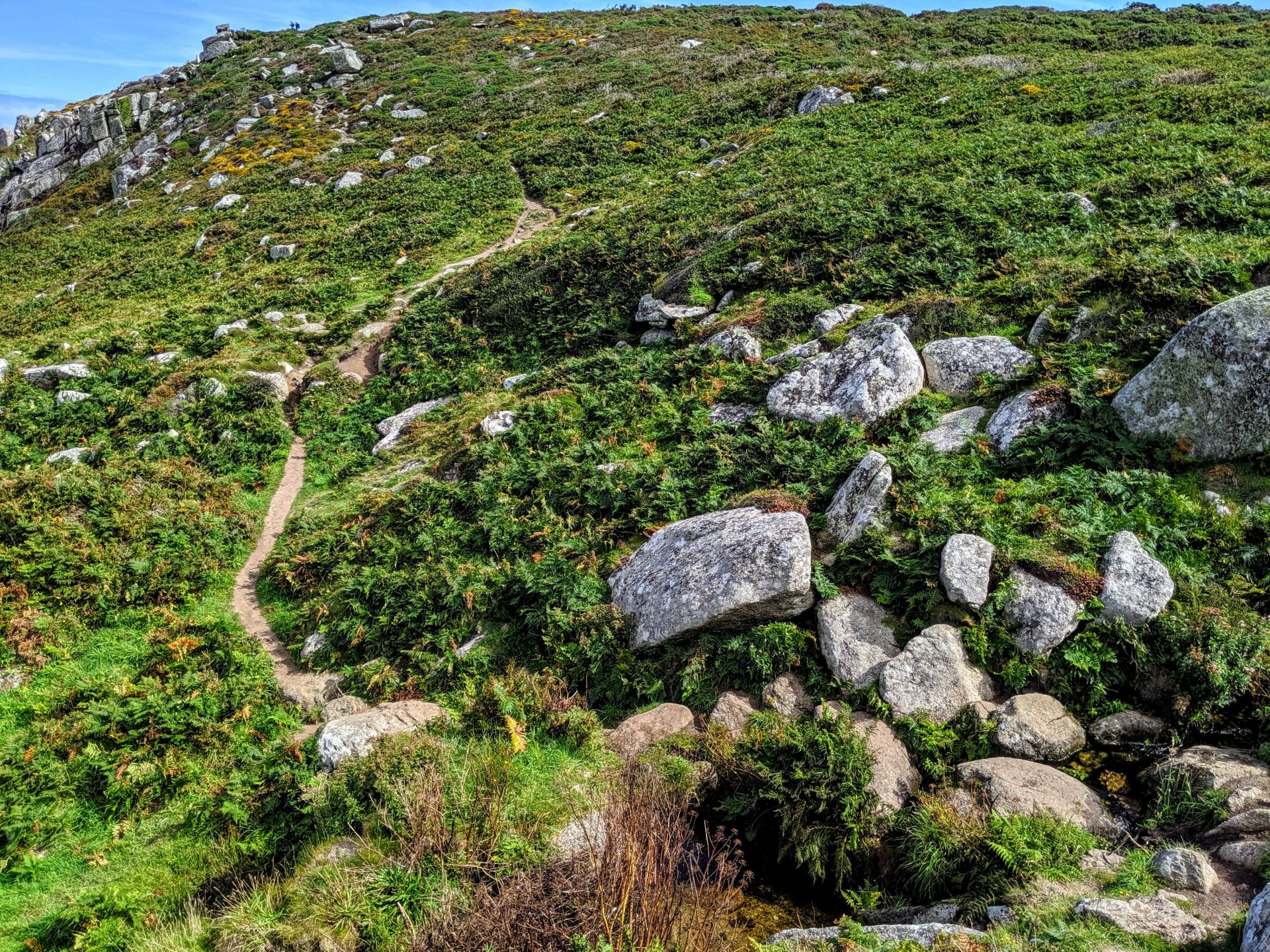
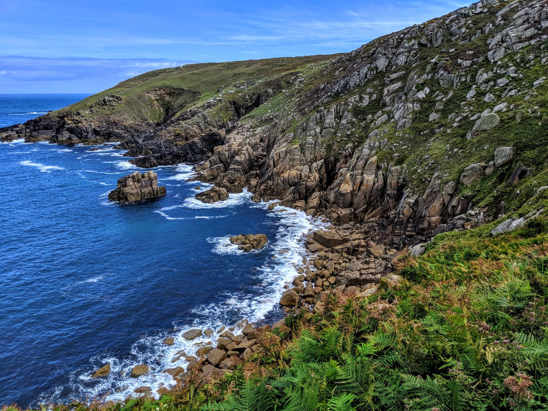
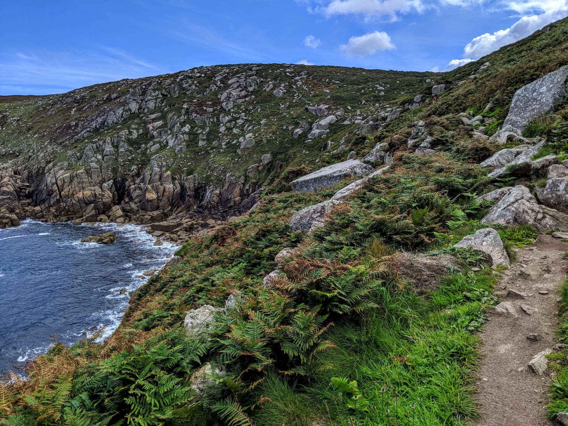
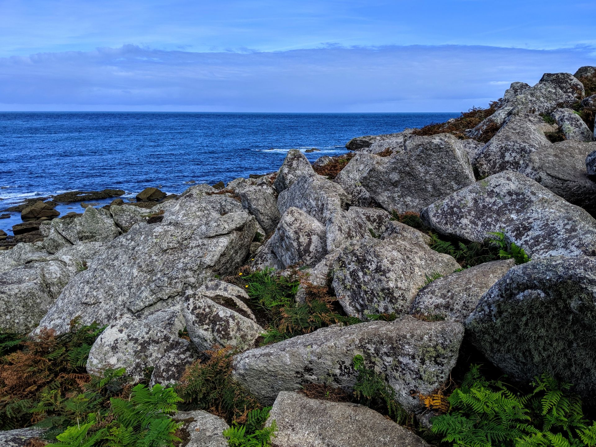
The tarmac pathway quickly becomes a rugged trail that descends and ascends along the contours of the coast line. At this point I couldn’t understand why the guidebooks called this section challenging, I joked to myself if this is challenging then I am in for an easy week! I laughed far to soon!
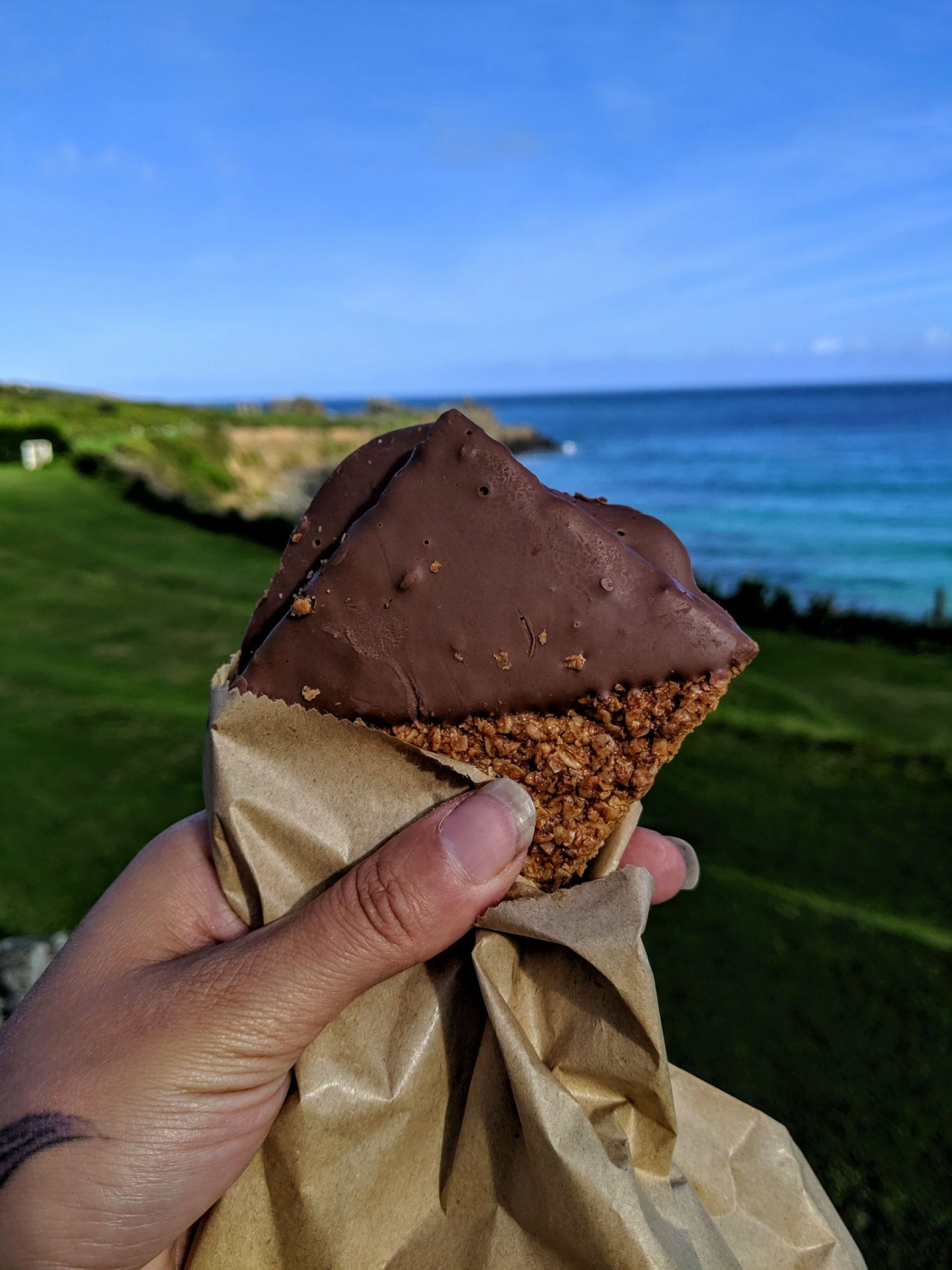
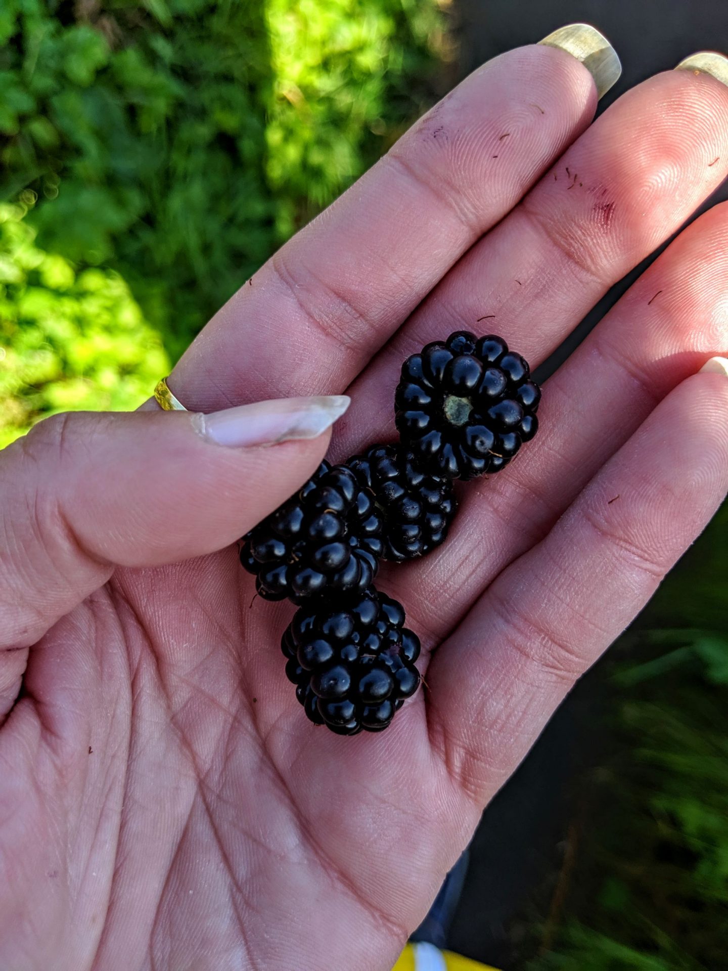
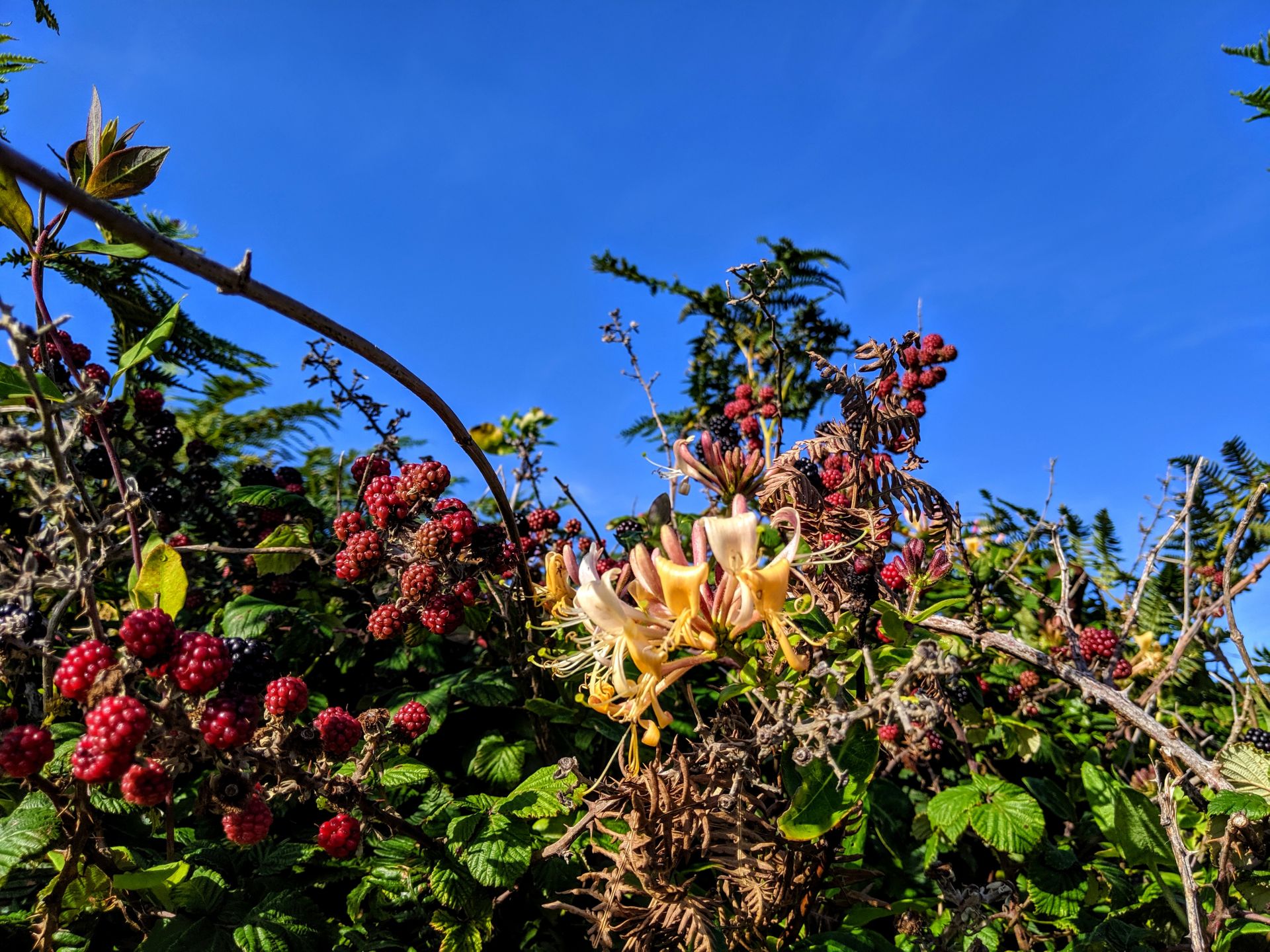
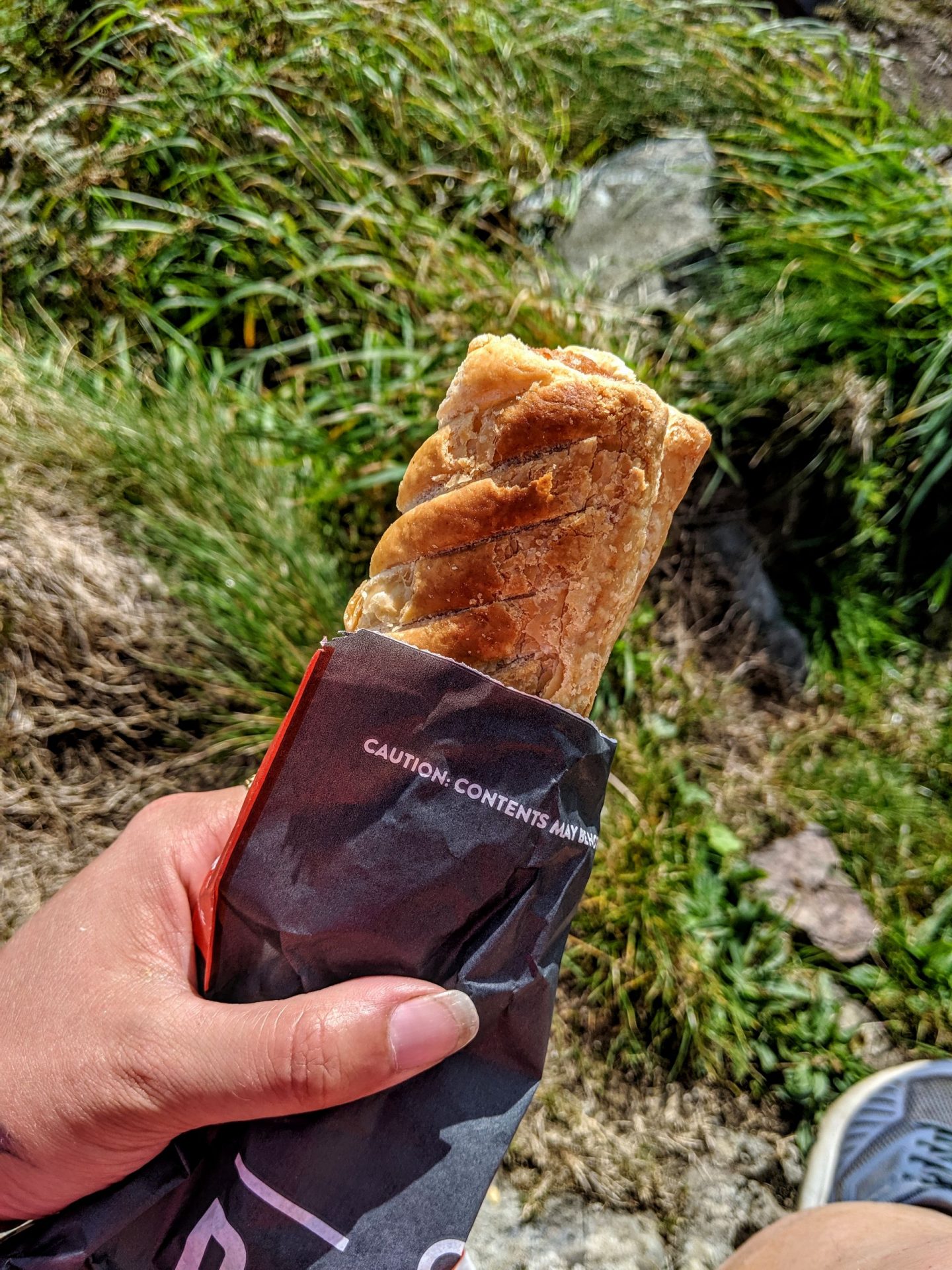
I can safely say I ate awfully over the next six days, I struggle to eat while exercising so everything I did consume was a high calorie snack, plus blackberries! Even with the high calories and fat I was still only managing to consume around 1800 calories a day and on average I was burning 40000 calories. The high fat and high sugar was more than enough to keep me going and I never felt hungry I tried not to eat for the sake of it. Blackberries on the the hand were eaten by the bucket load, they grow along the entire path probably millions of them all plump and oozing with juice, it would have been rude not to eat them.
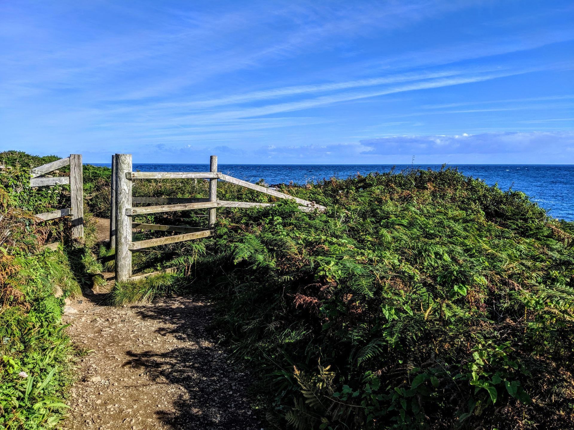
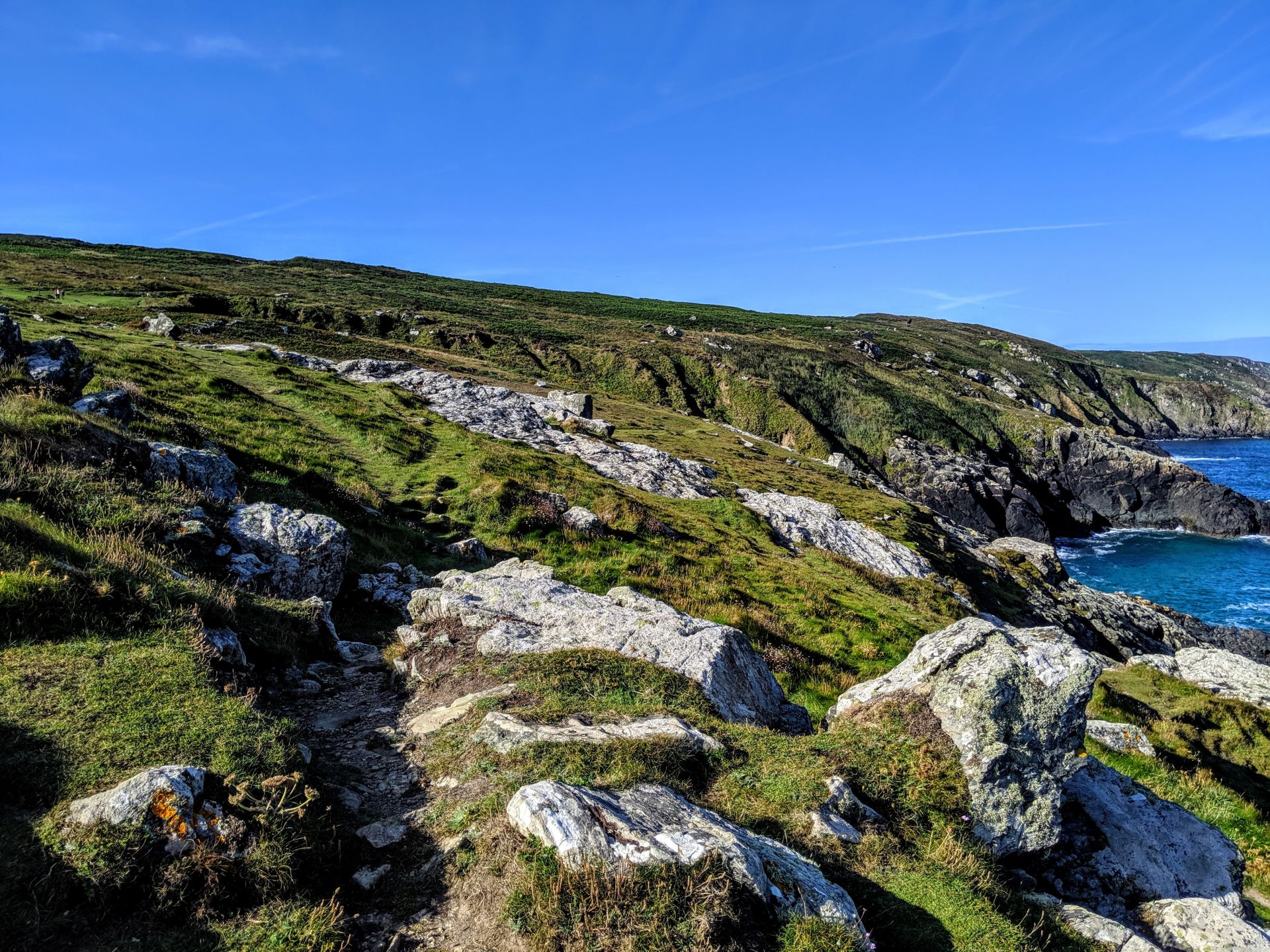

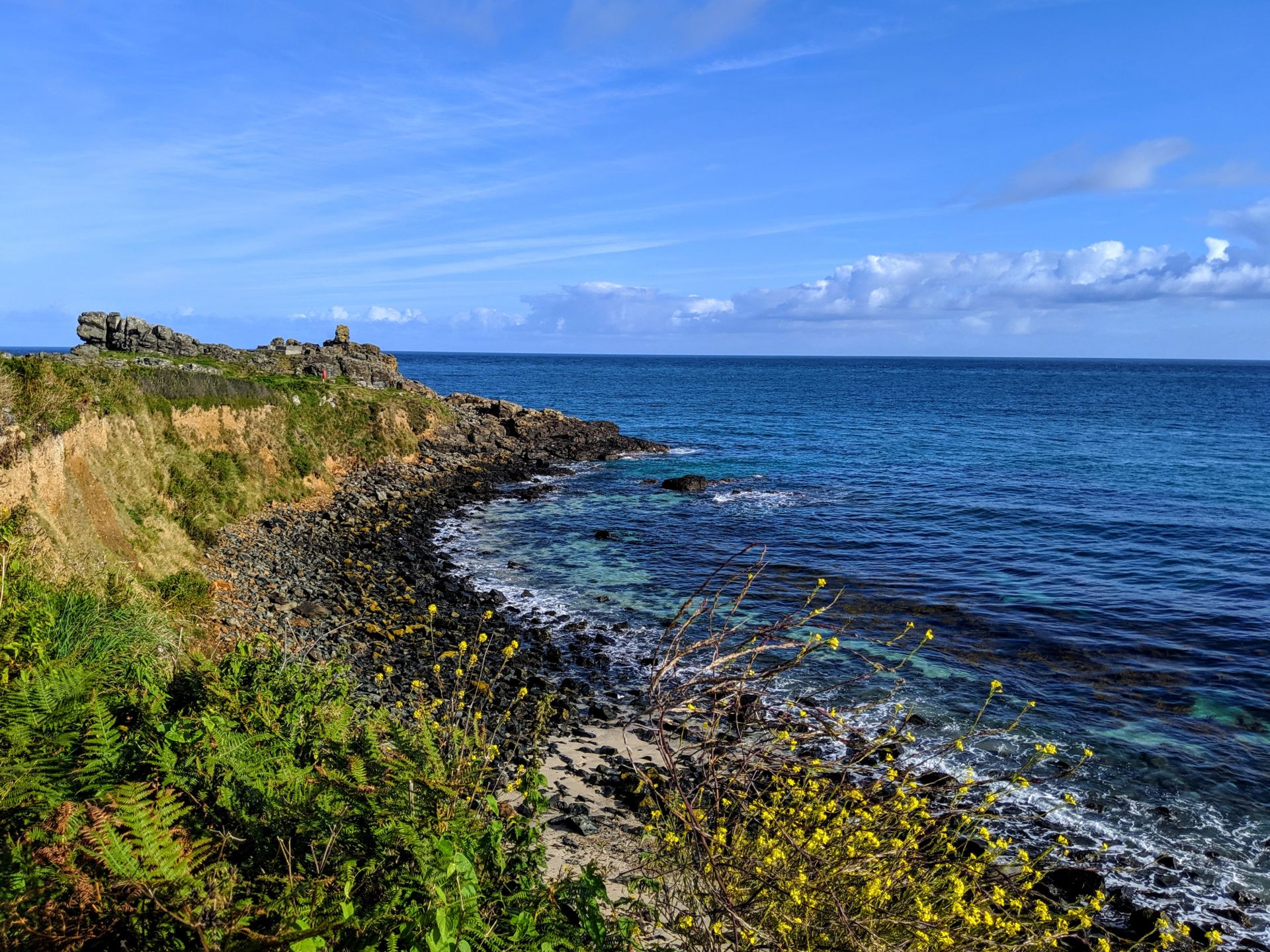
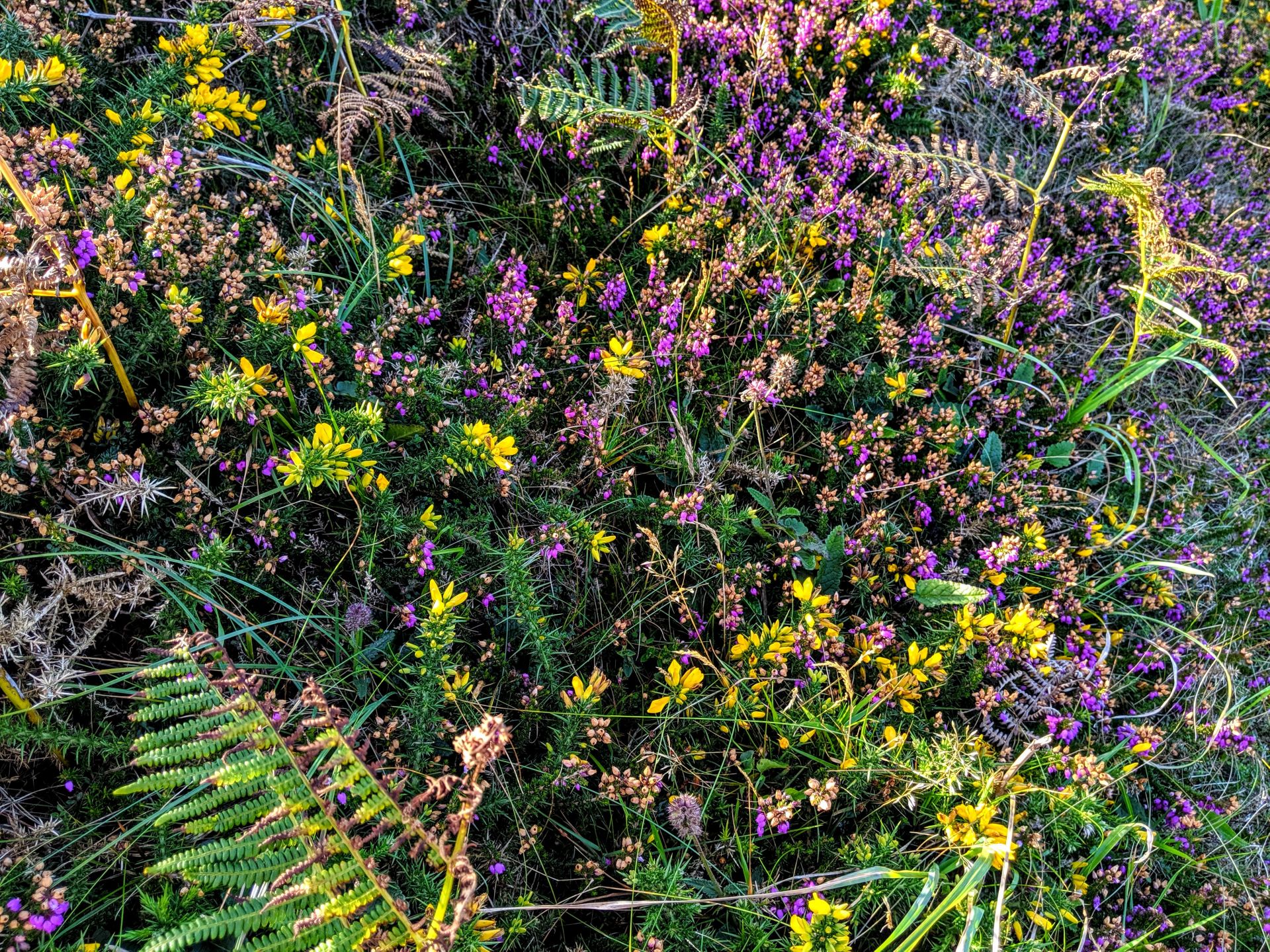
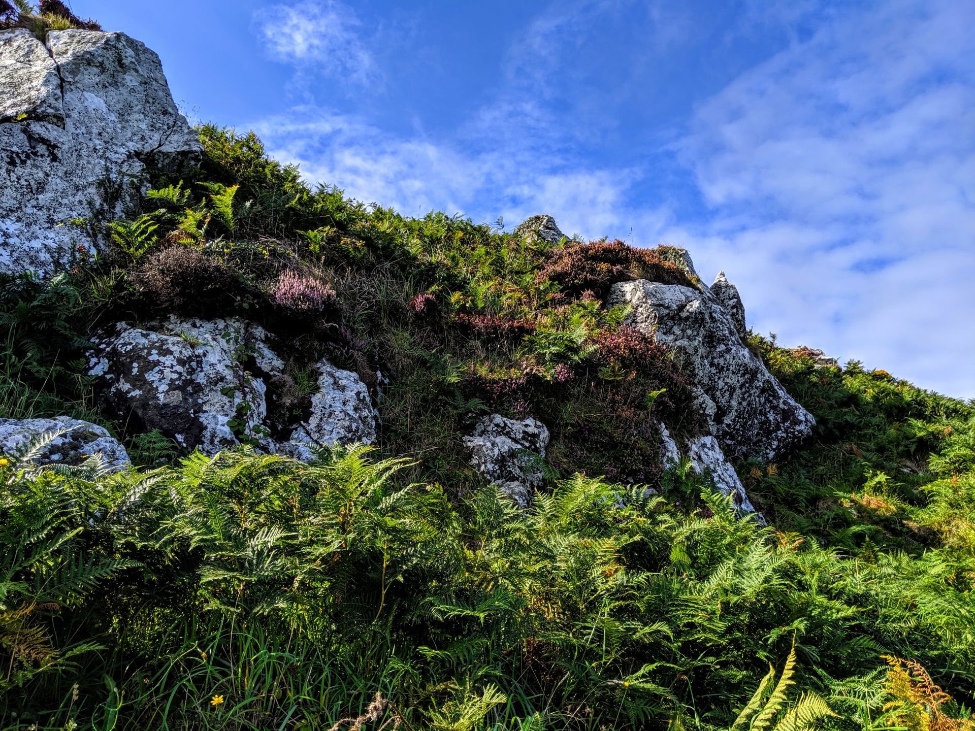
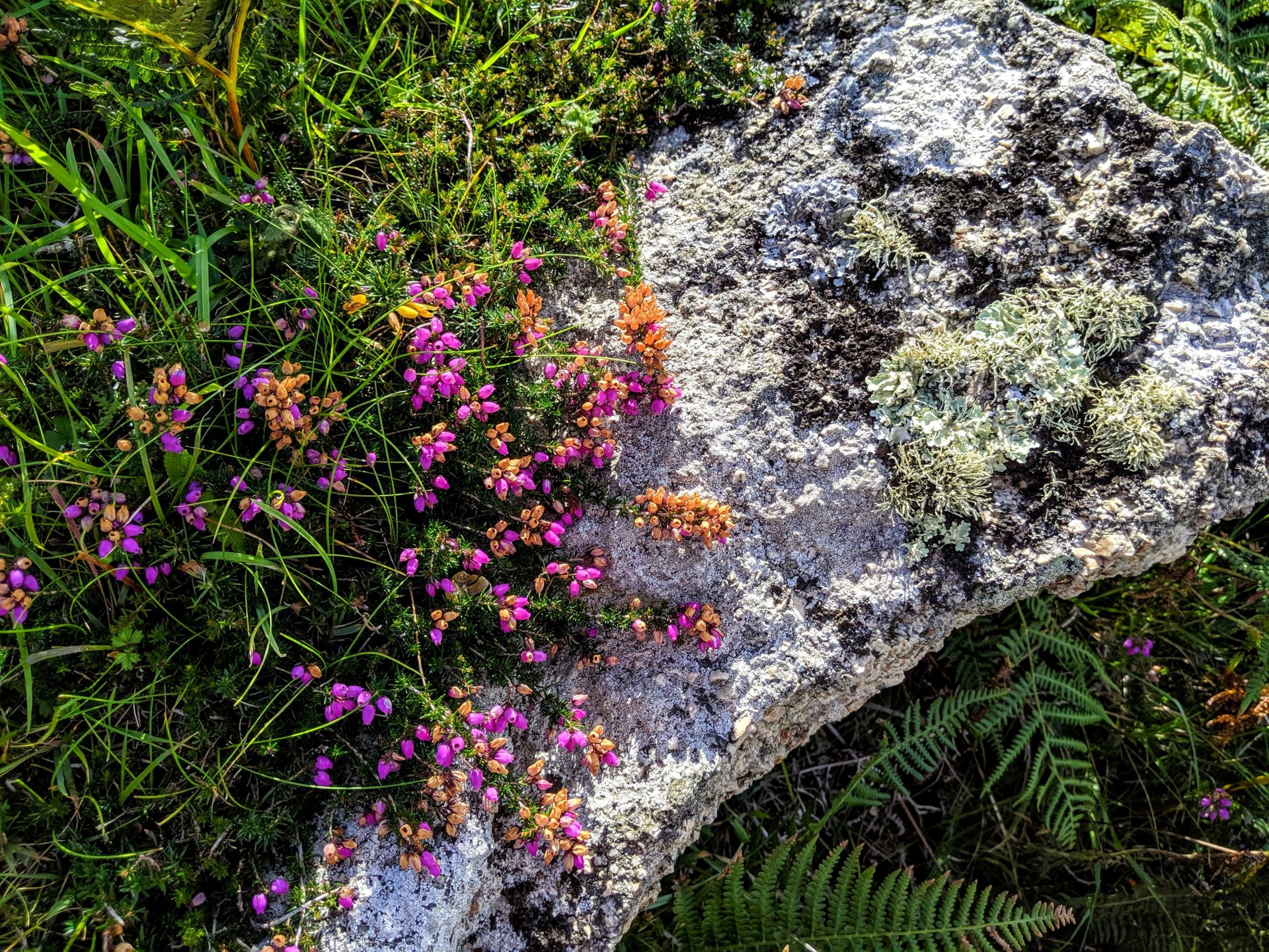
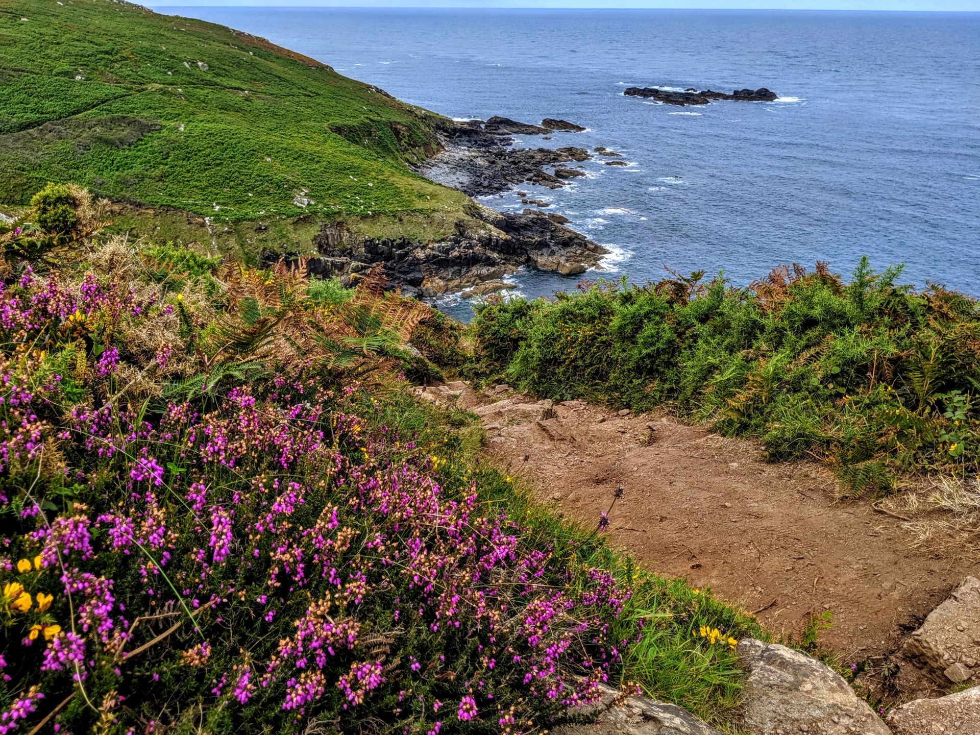
Through the kissing gate you will pass Clodgy Point and continue west – passing small rocky and pebbly coves as you go. In spring the wild flowers here make carpets of different colours, and if you are quiet enough you will see rabbits making the most of the grass. Keep your eyes open for the Trevalgan Stone Circle on your left, one of many examples in this part of Cornwall.
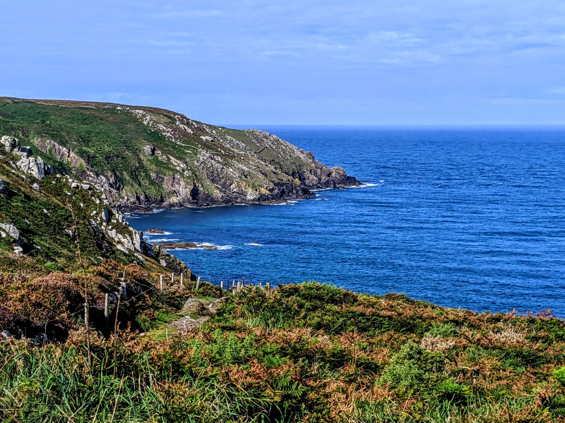
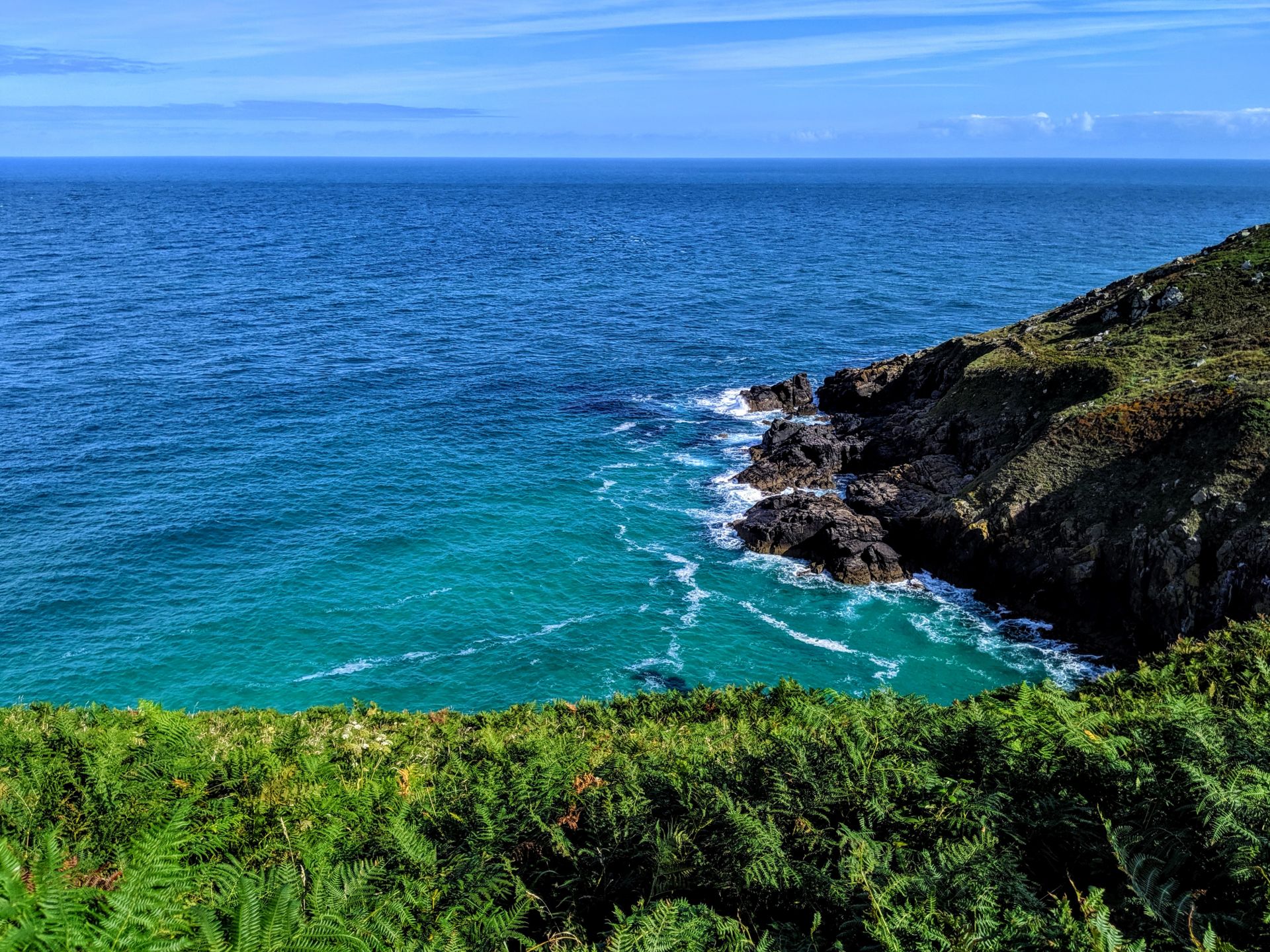
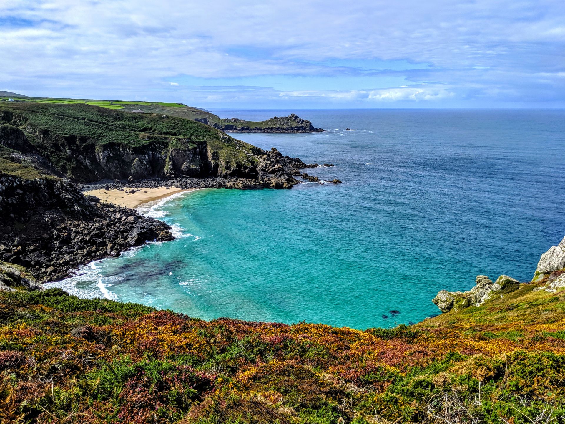
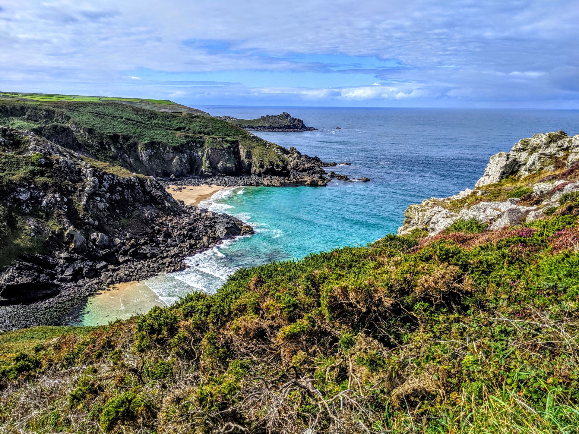
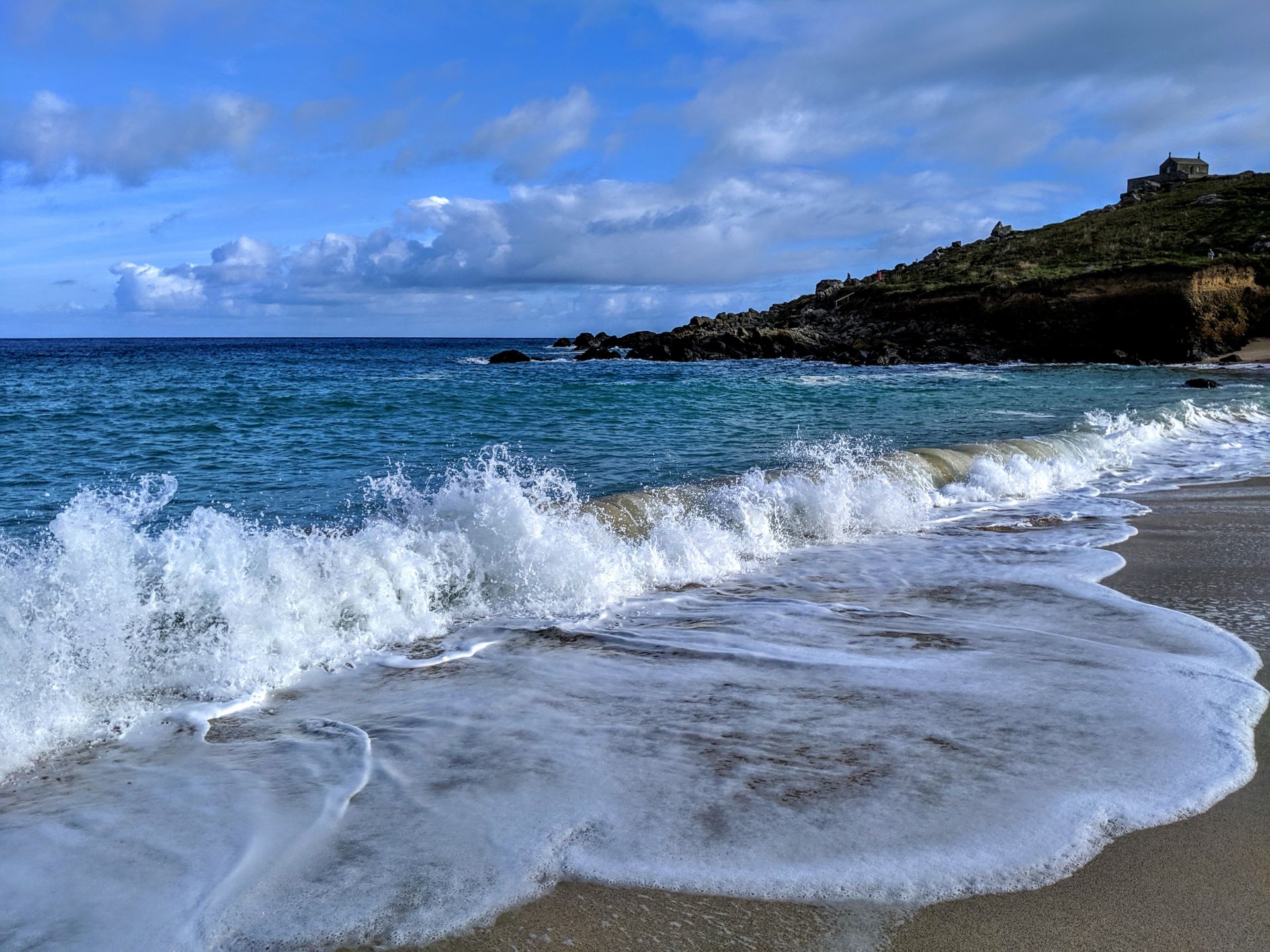
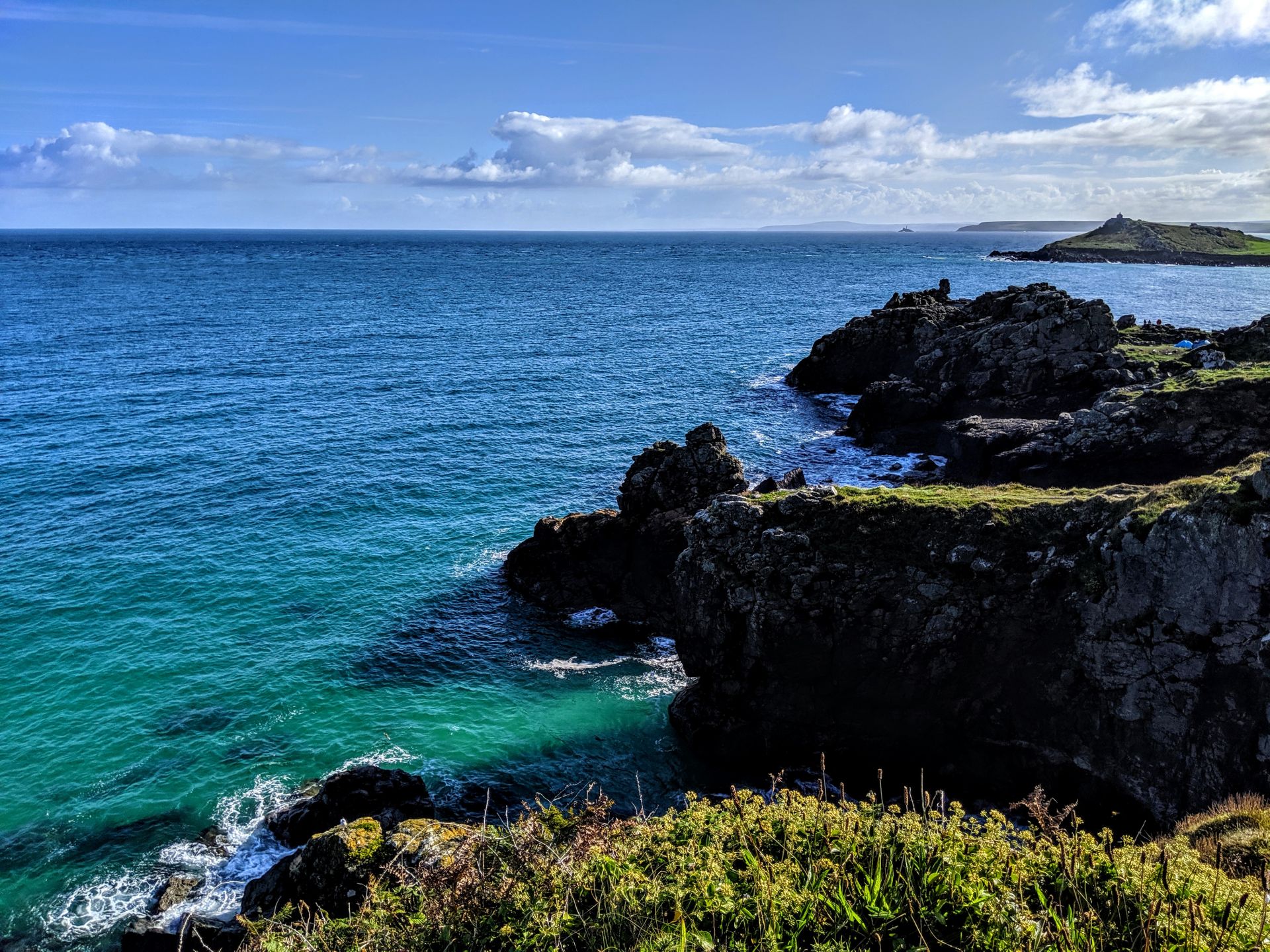
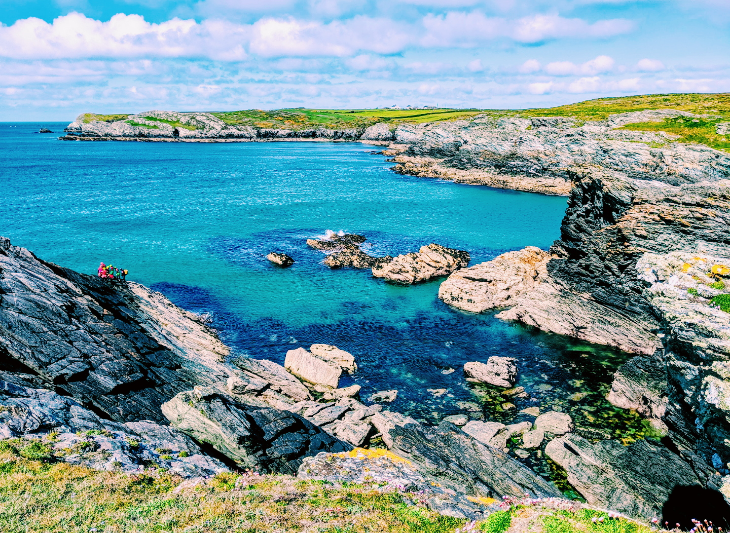
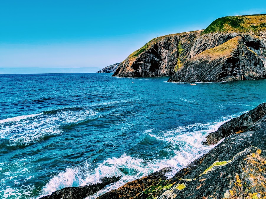
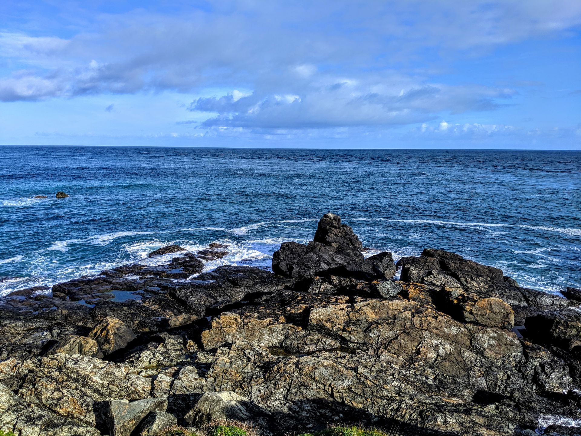
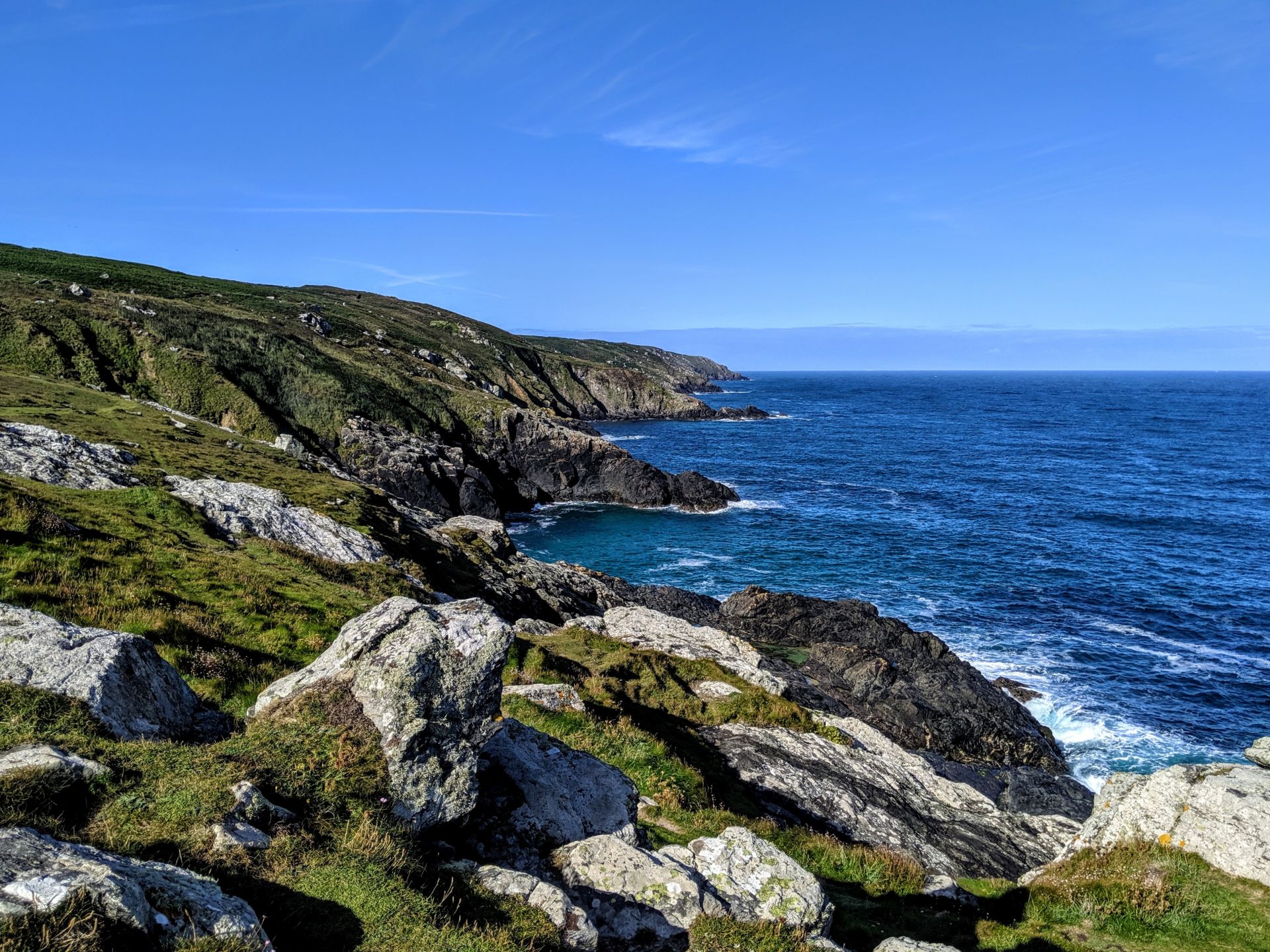
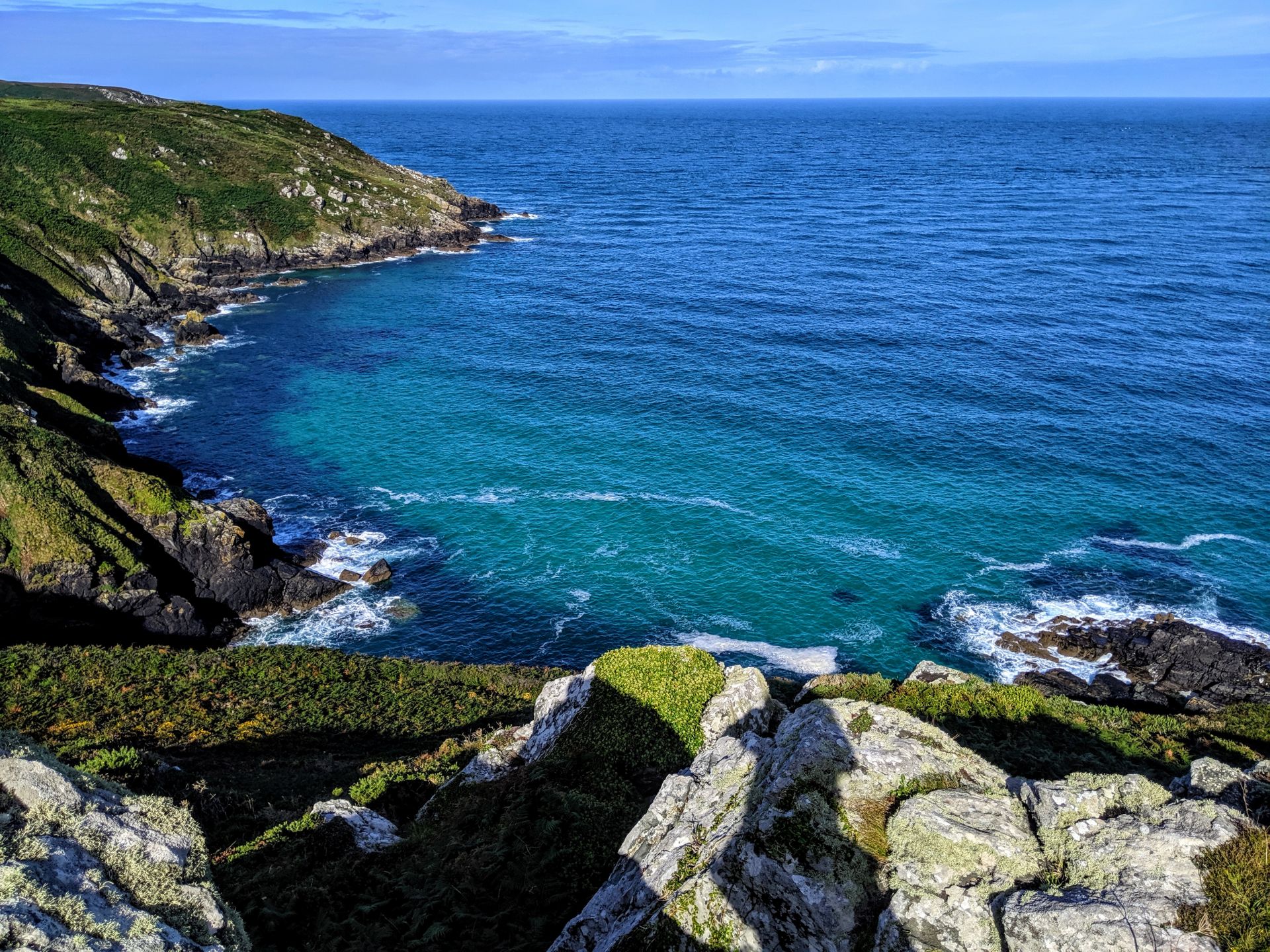
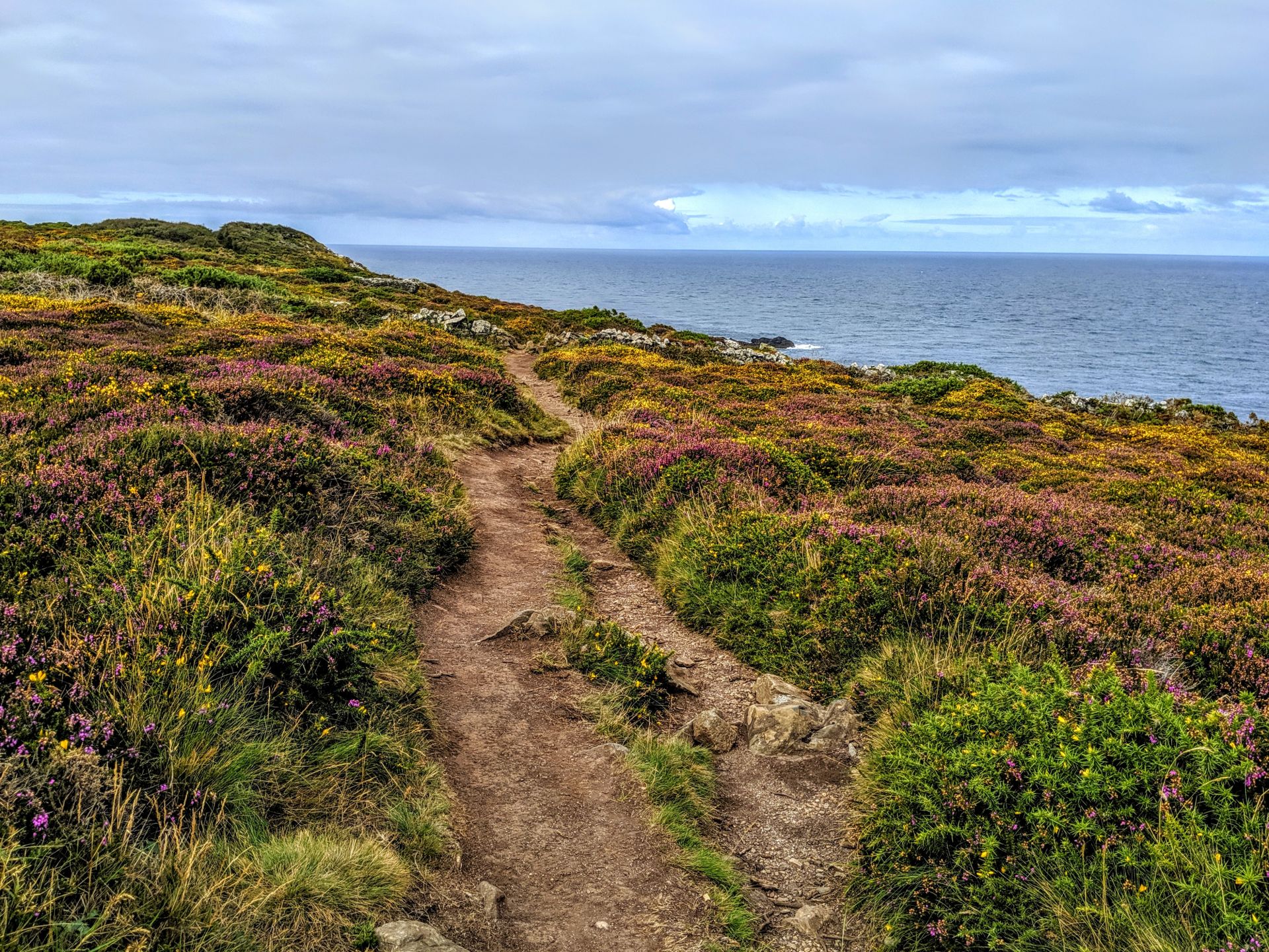
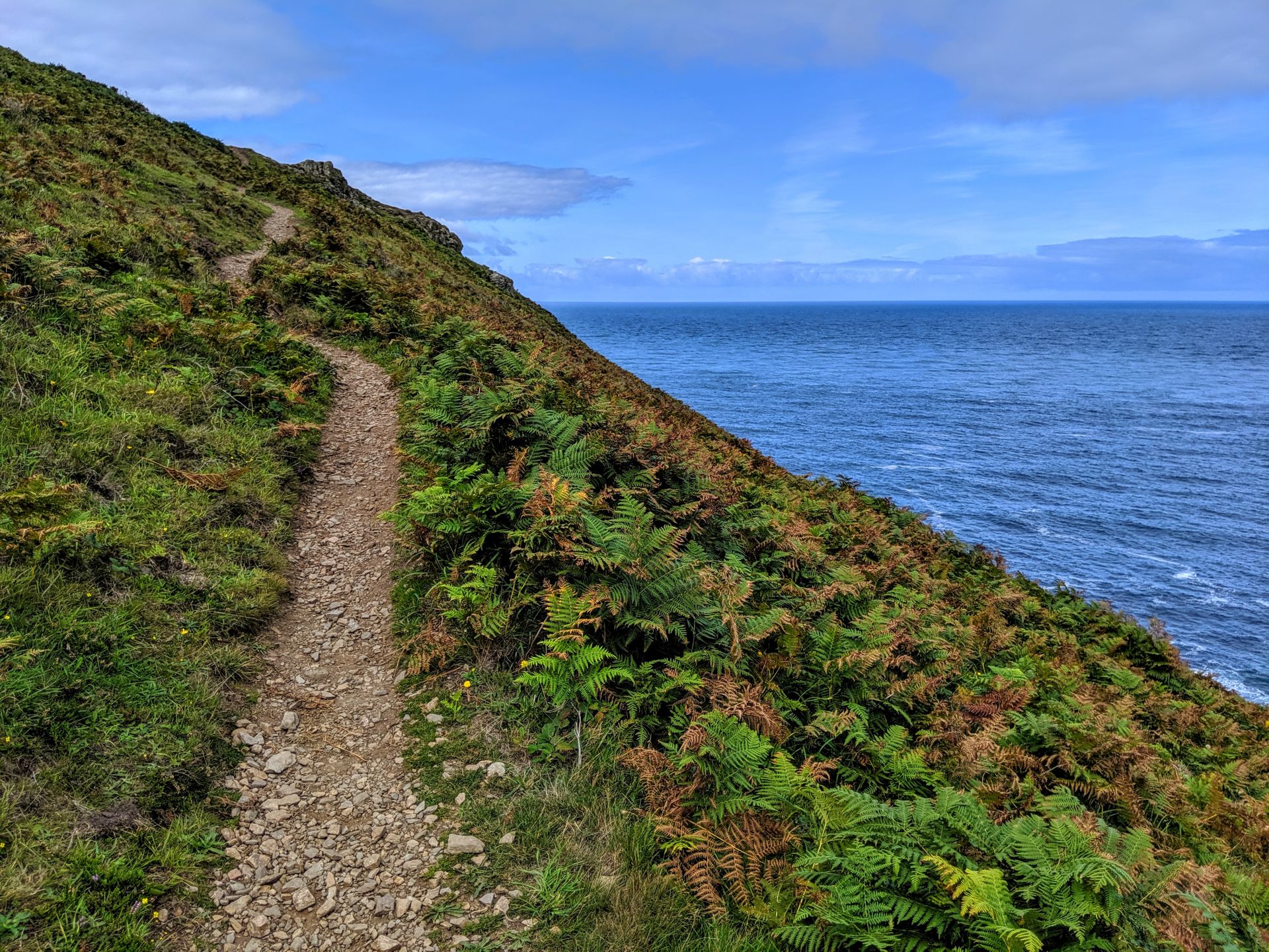
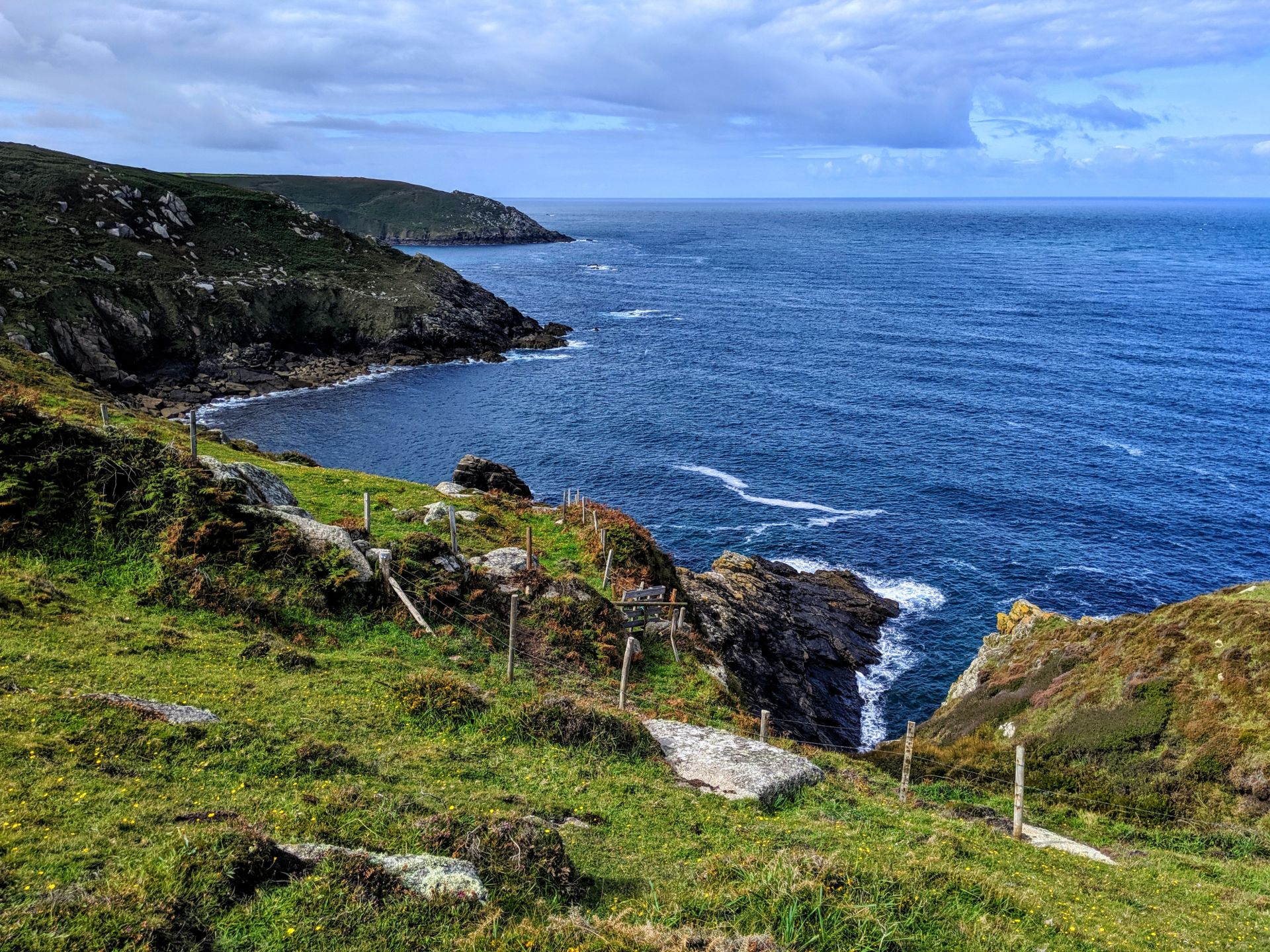
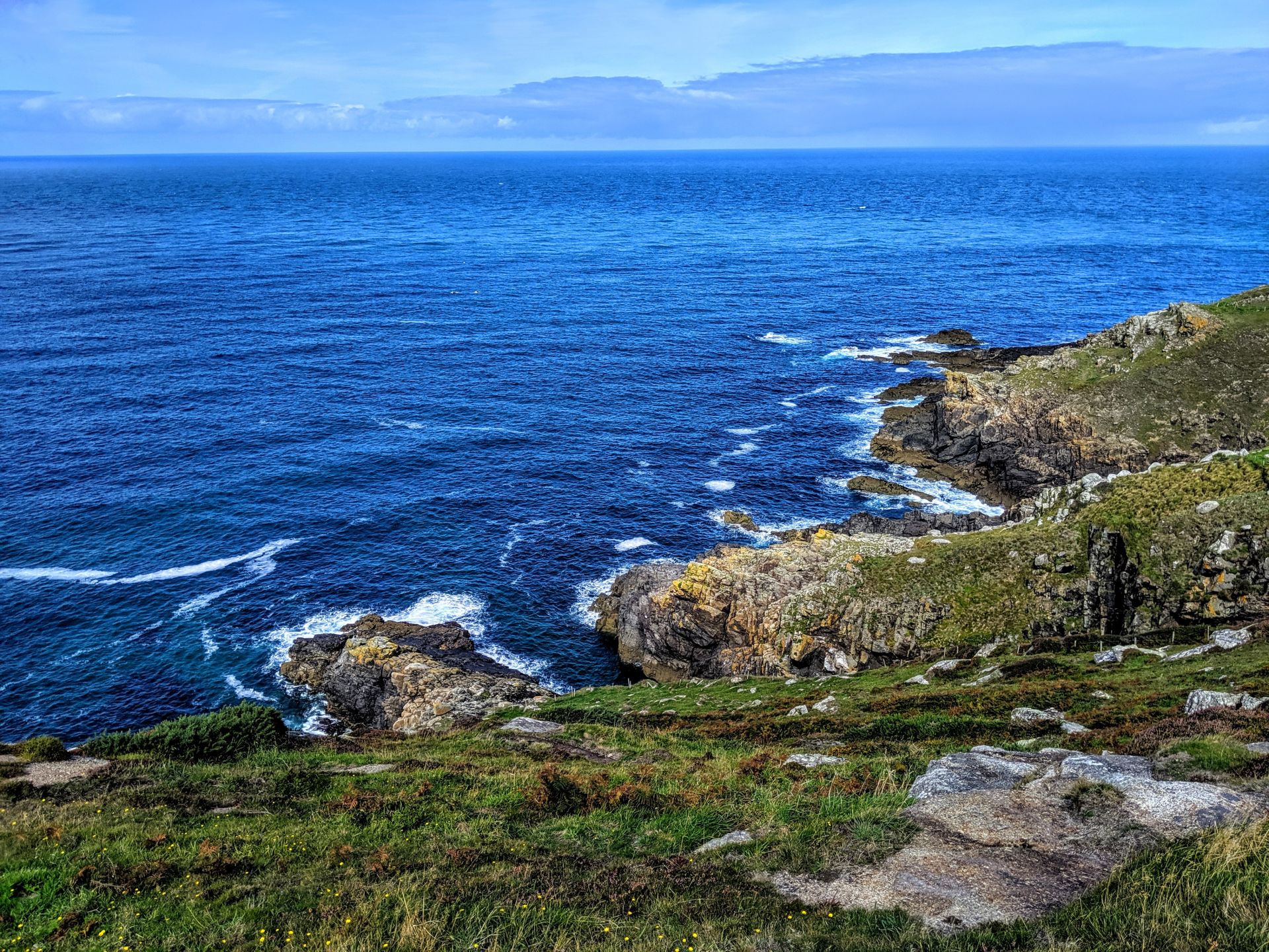
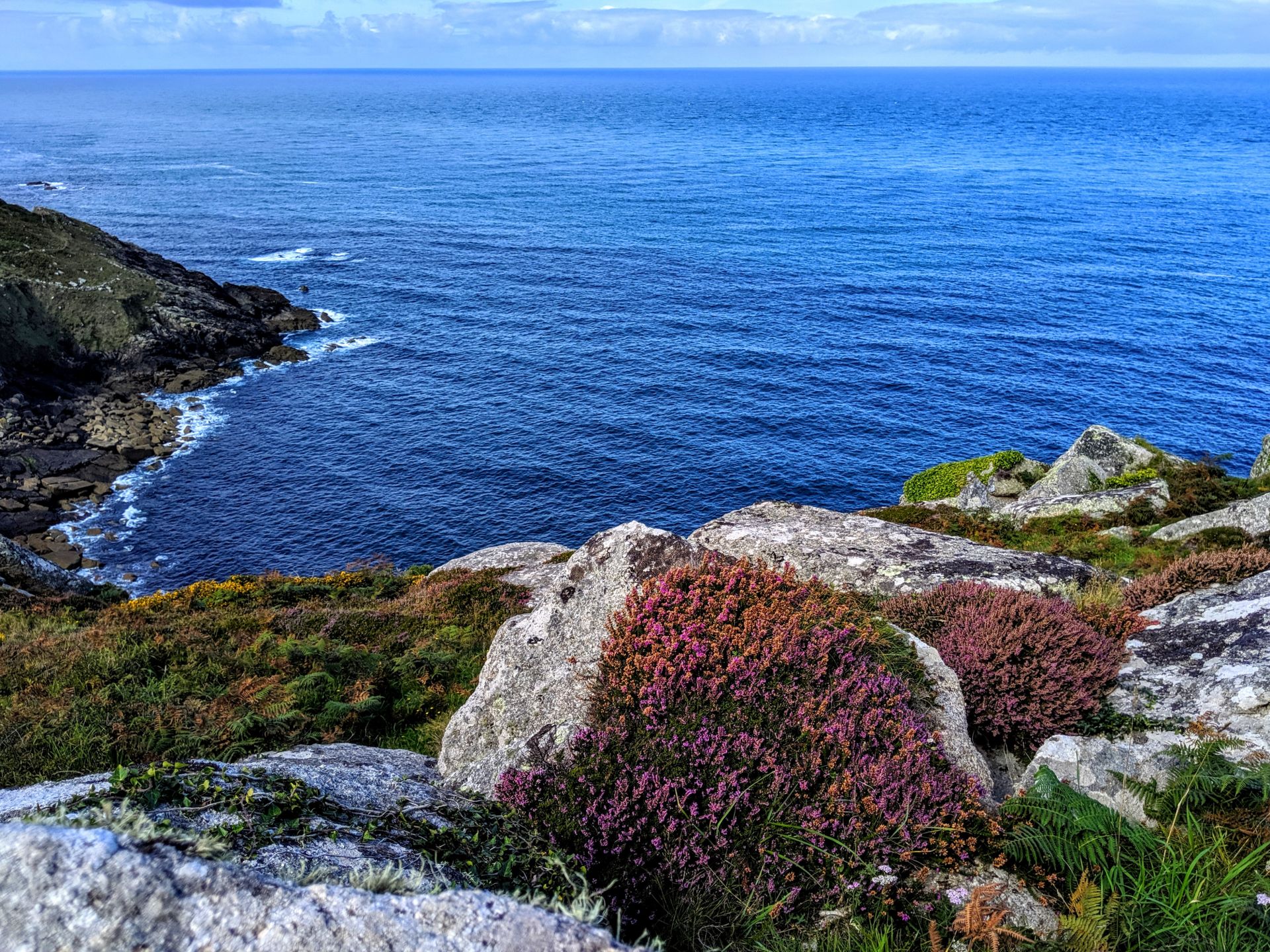
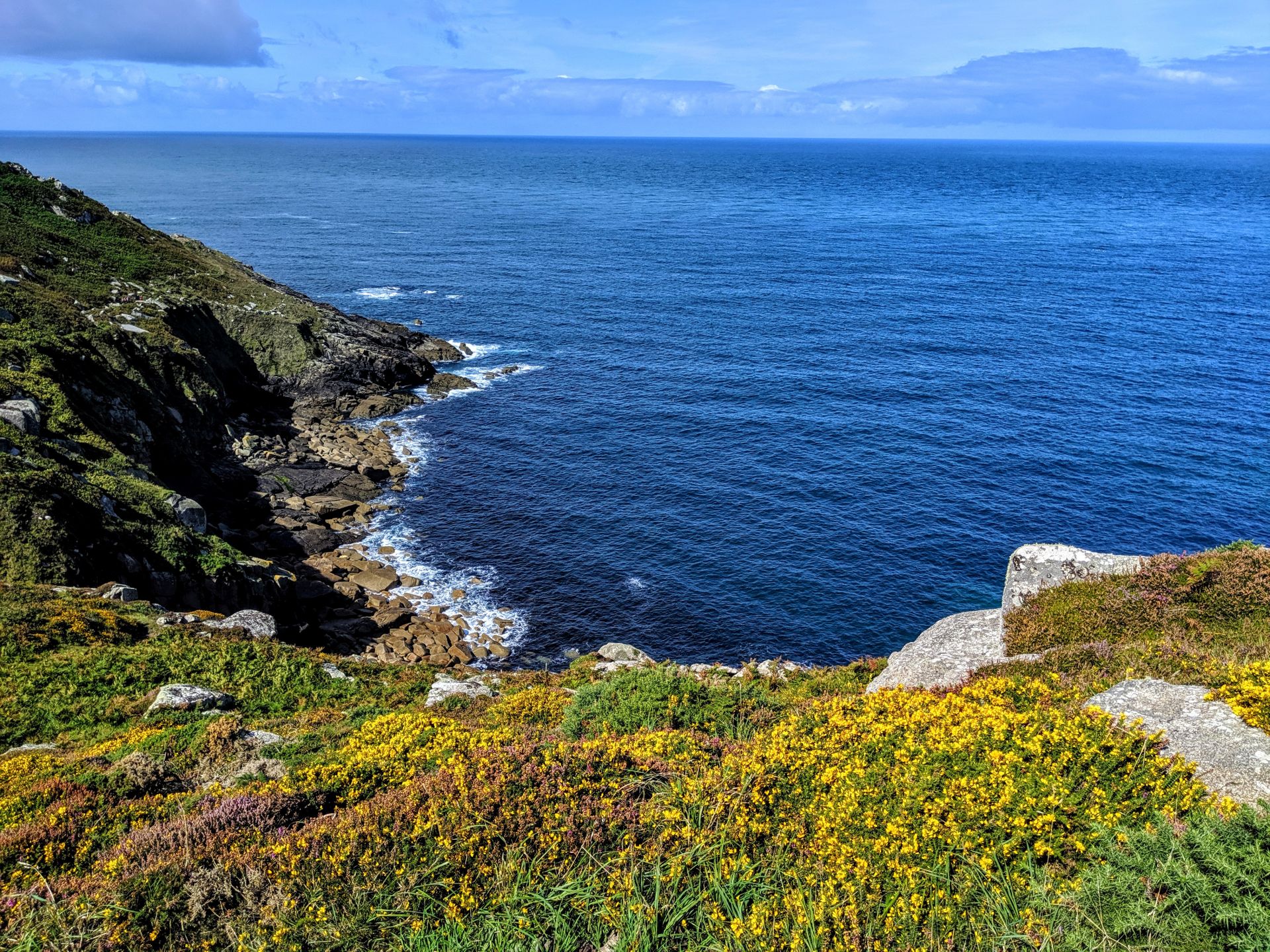
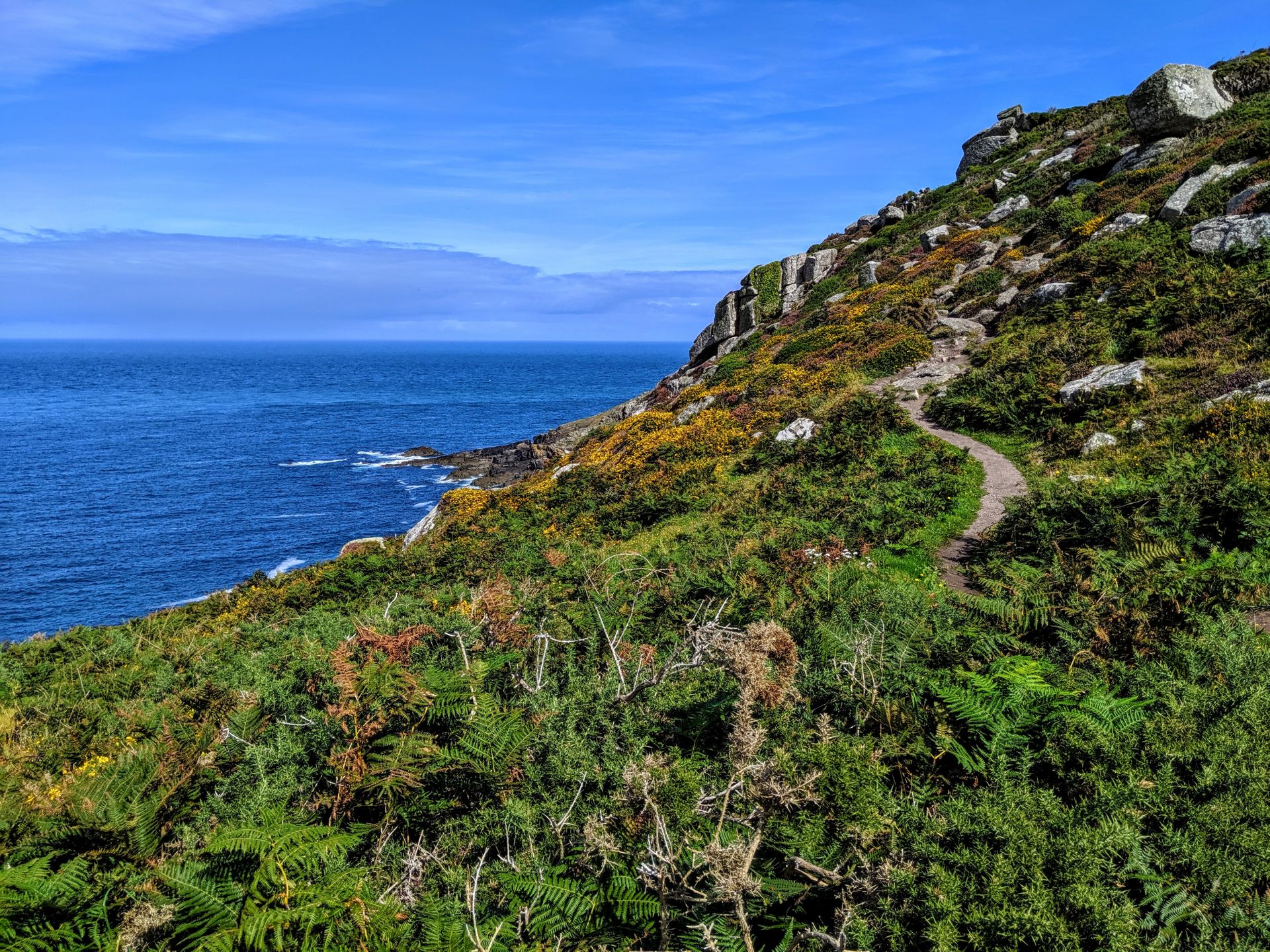
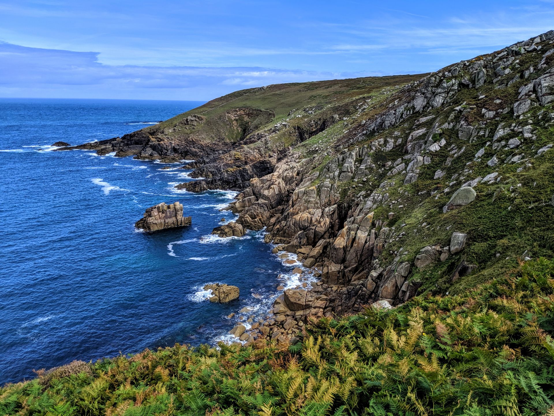
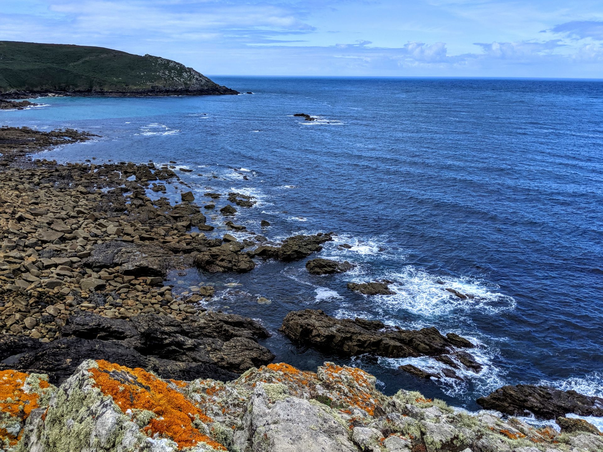
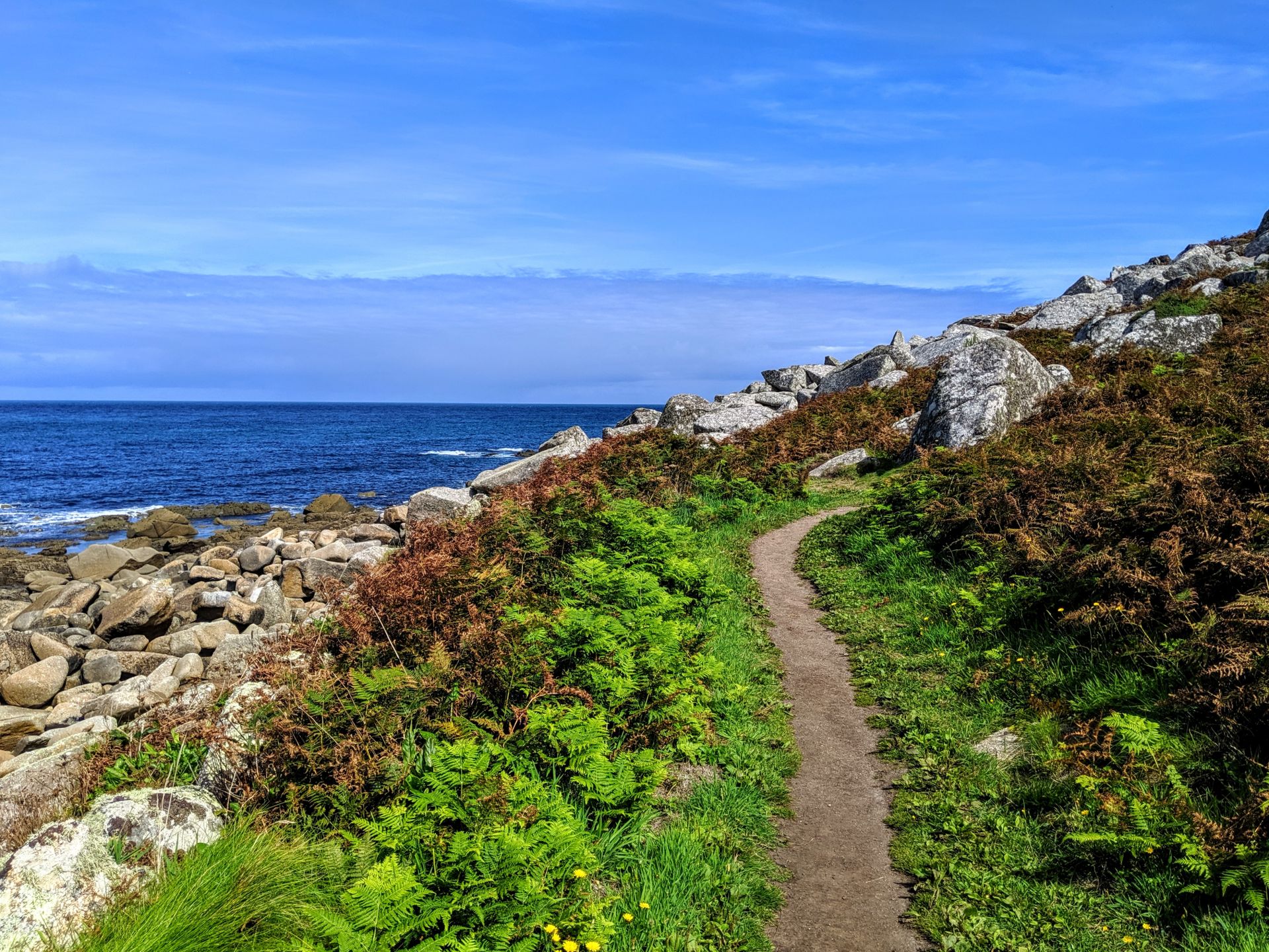
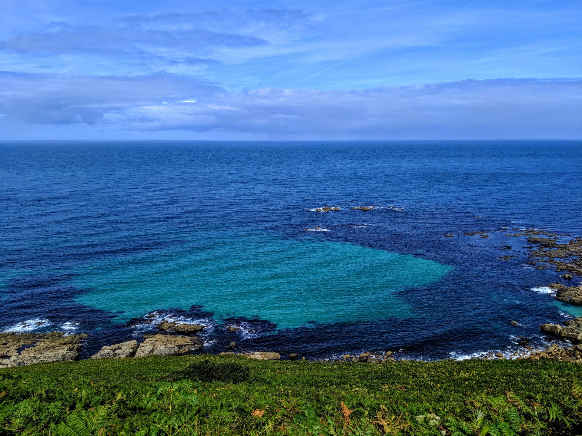
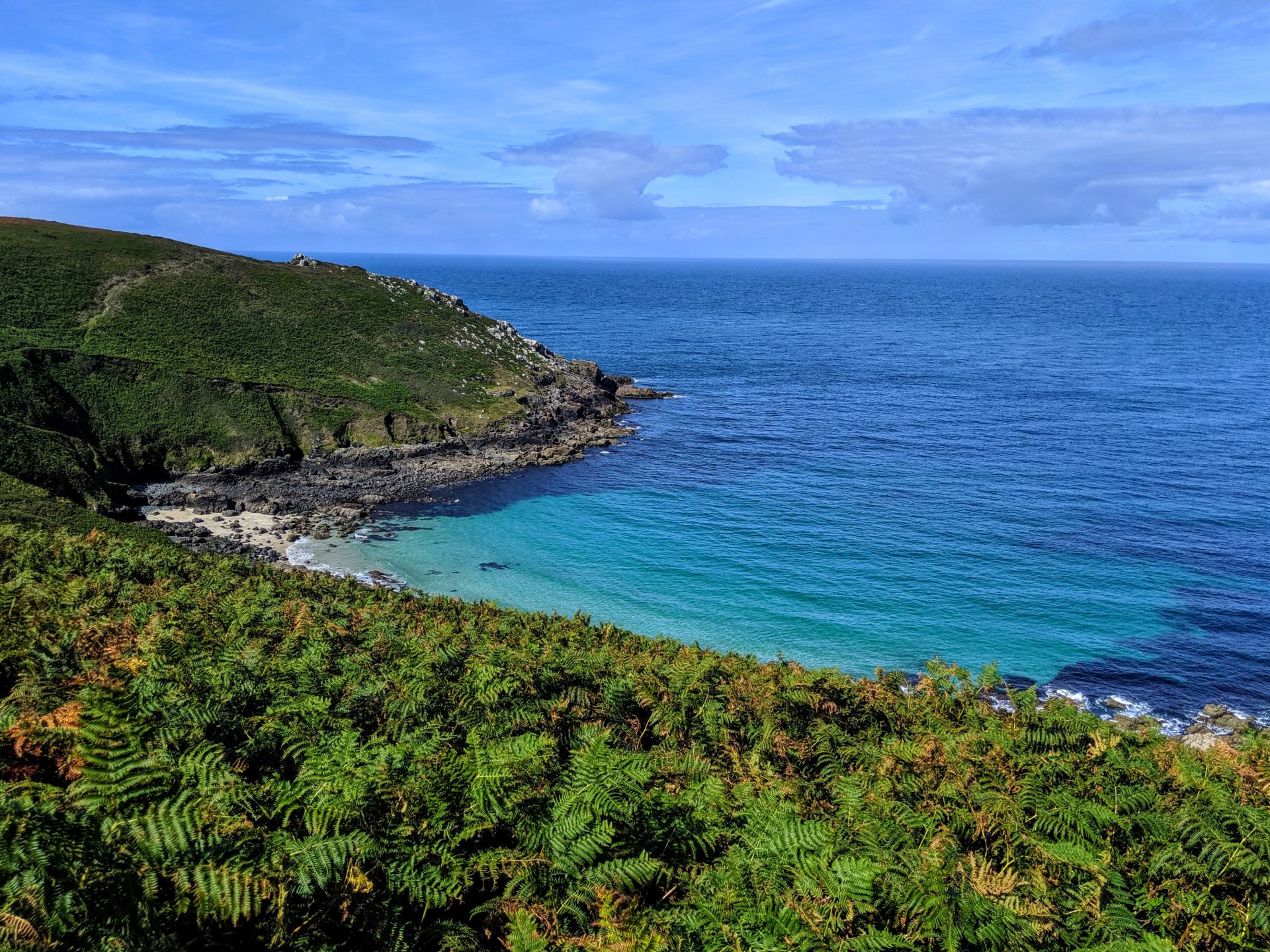
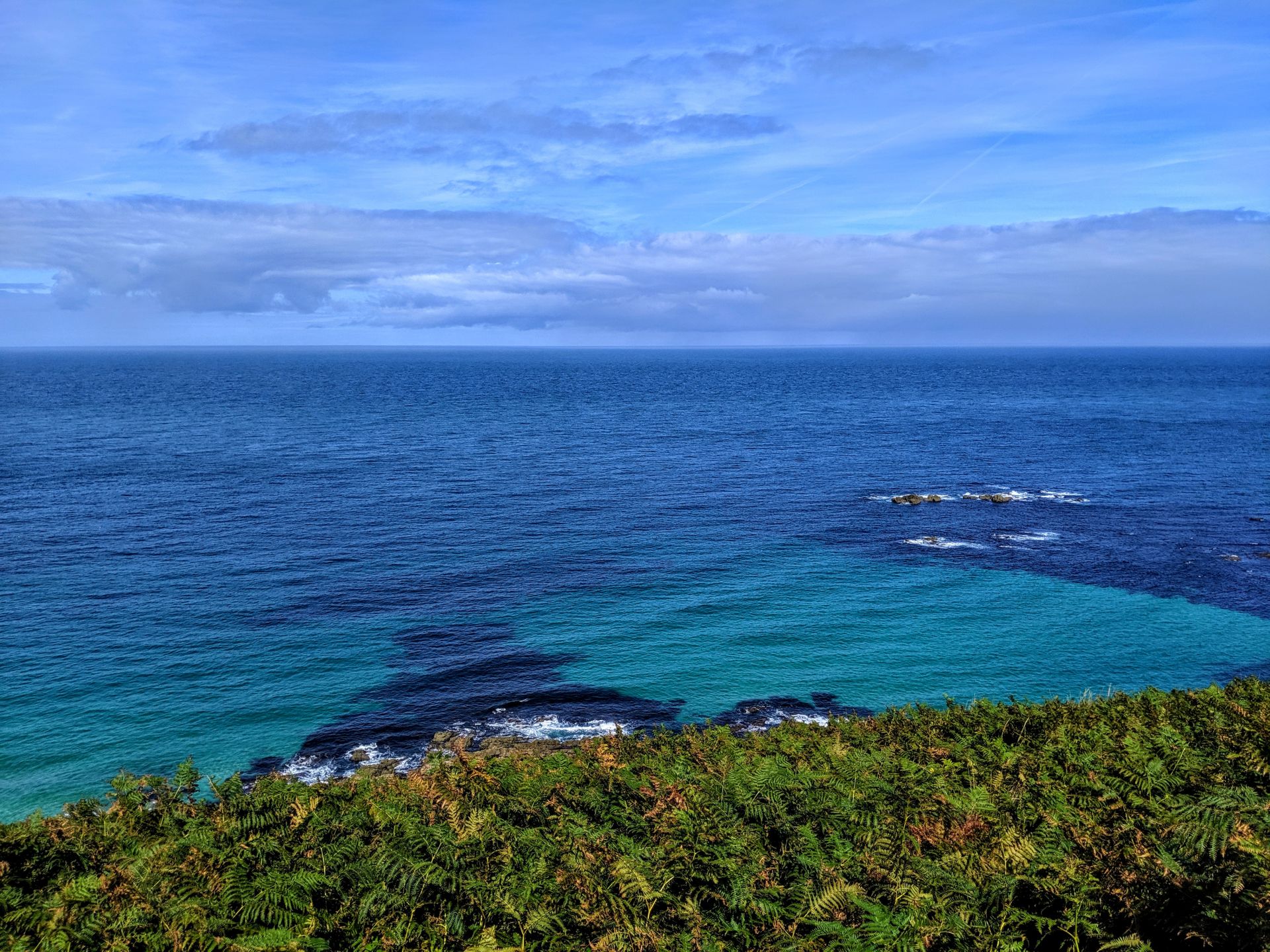
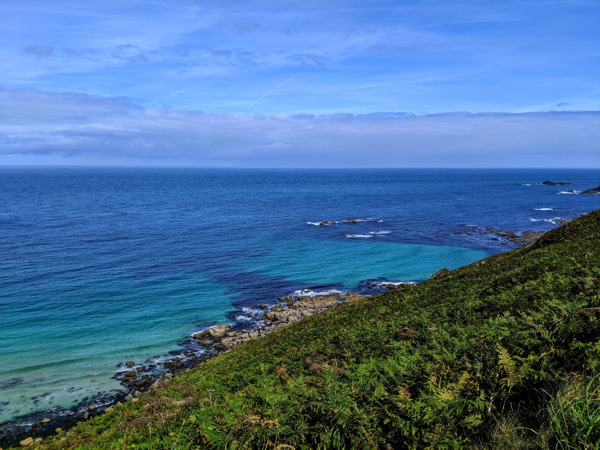
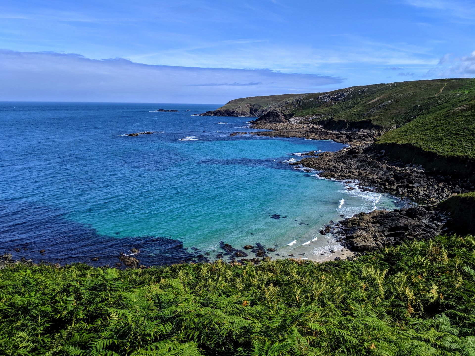
It is hard work, and you might find your walking speed a lot slower than normal as you tackle the climbs and drops involved. The views make it all worthwhile, make sure you look back into St Ives as you go round Pen Enys point to see Porthmeor Beach glimmering in the distance, and keep your eyes peeled in summer for pods of dolphins, sunfish and basking sharks; you might just be lucky! In colder seasons and on stormier days the crashing waves make a good substitute, providing spectacular sights of foaming water and spray.


The path from St Ives to Pendeen is actually looked after by the National Trust and every so often you would see a stone sign with what I am assuming is the name of the area, however since being back I have tried to look up a few of them and can’t find any information about the areas. I mean does google really not know everything?

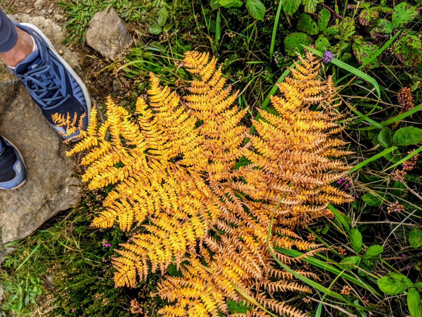
Although I felt like it was still summer, Autumn was peeping out at every opportunity.
Within the first four miles I realised that this coastal path was going to be a little different to most I had walked and to be honest it was a welcome change! I have spent most of the summer walking the Wales Coastal Path and not actually seeing a lot of the coast, it has a lot of inland sections and walking across farmers fields or along rivers. Don’t get me wrong it is believe but I remember when day when I actually didn’t see the sea until the end of the 15 mile walk!
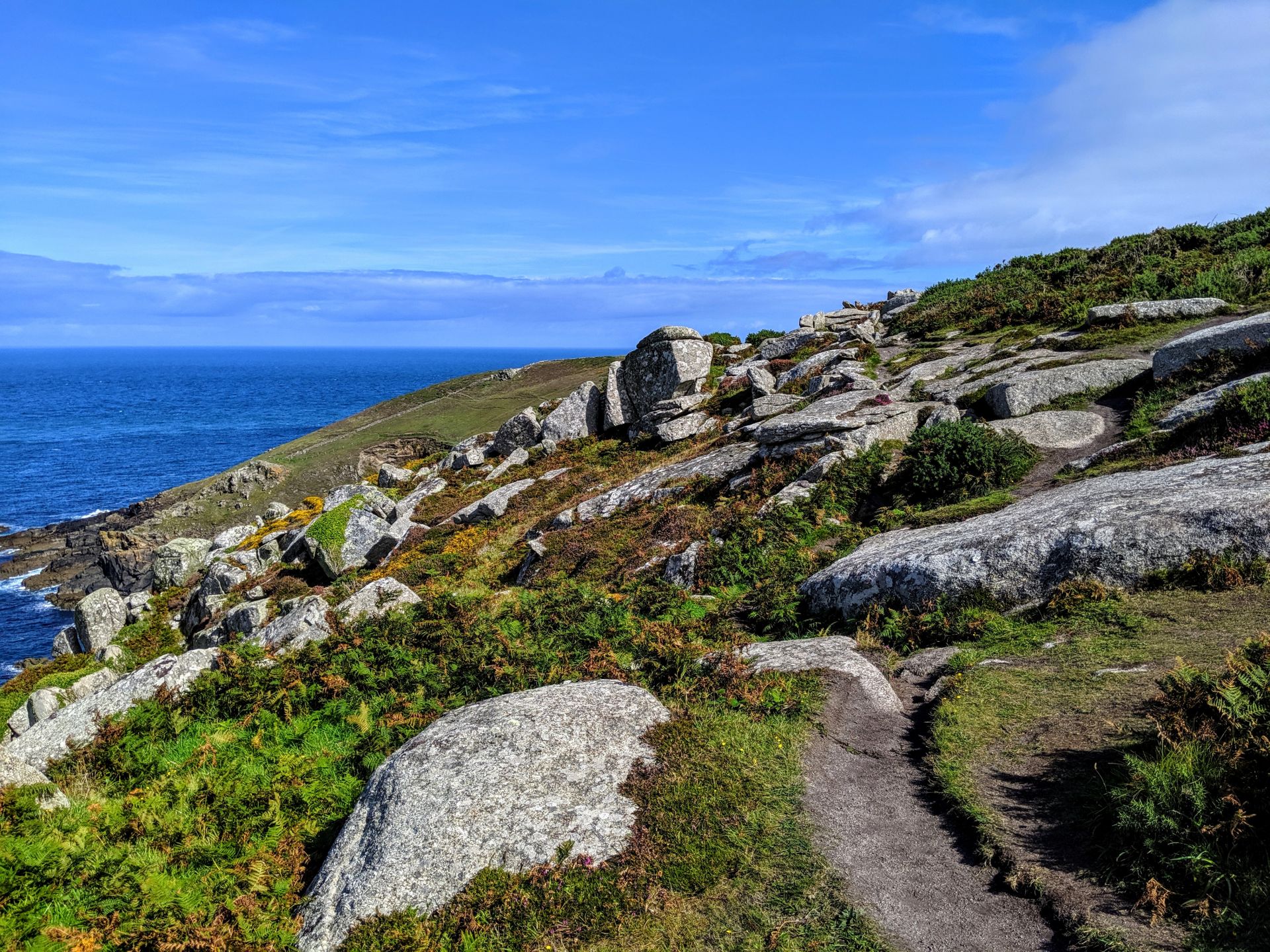
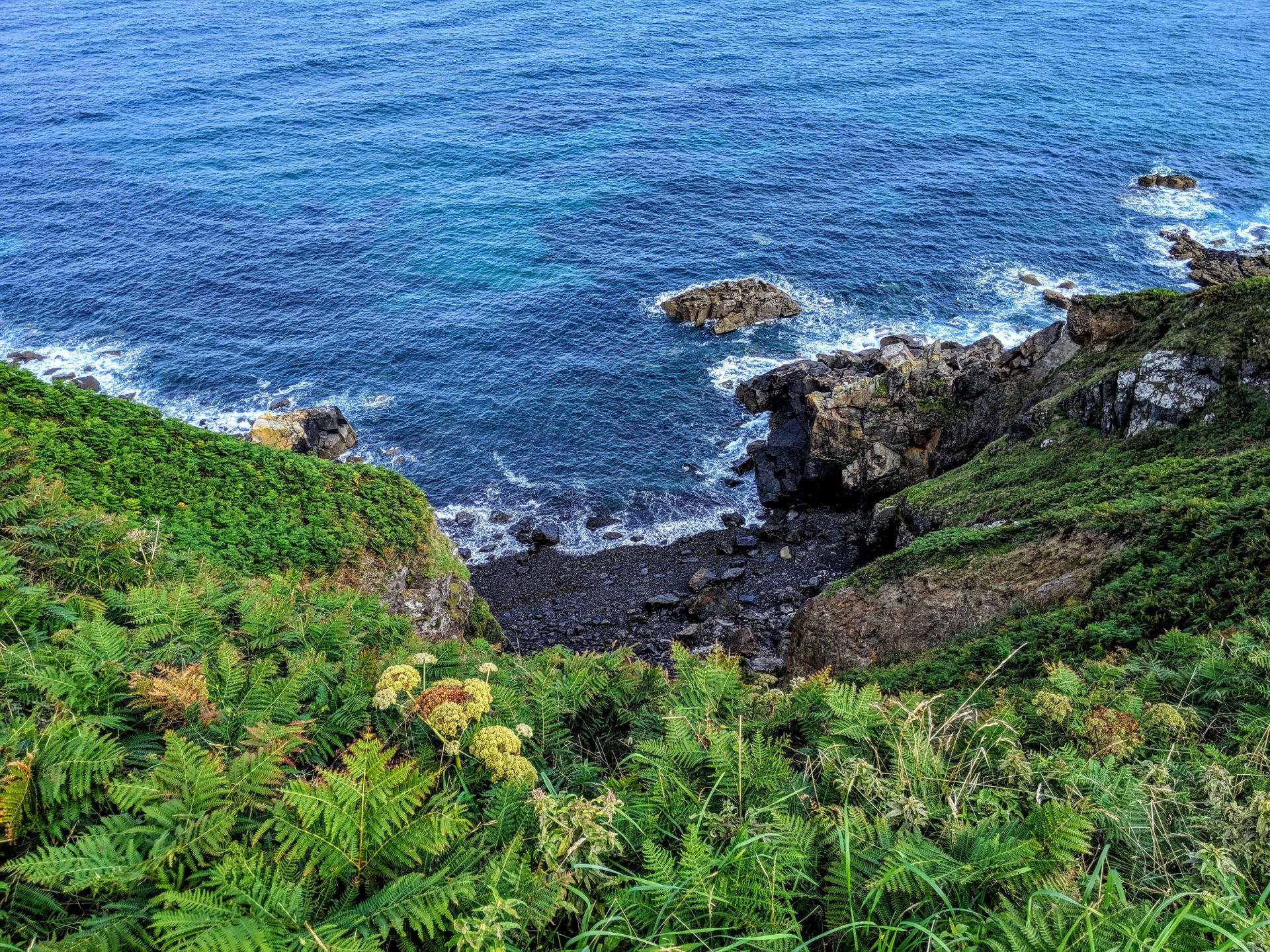
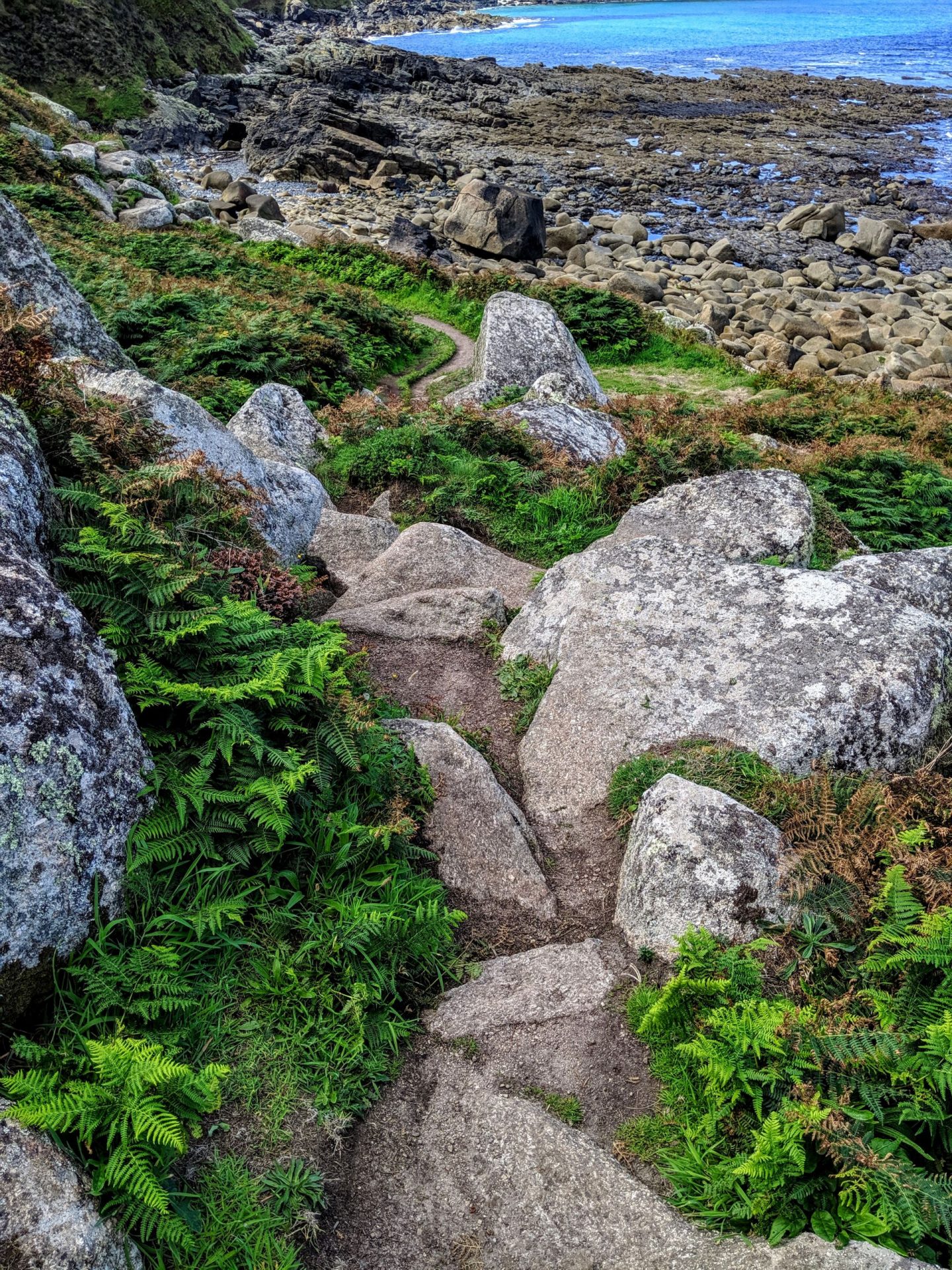
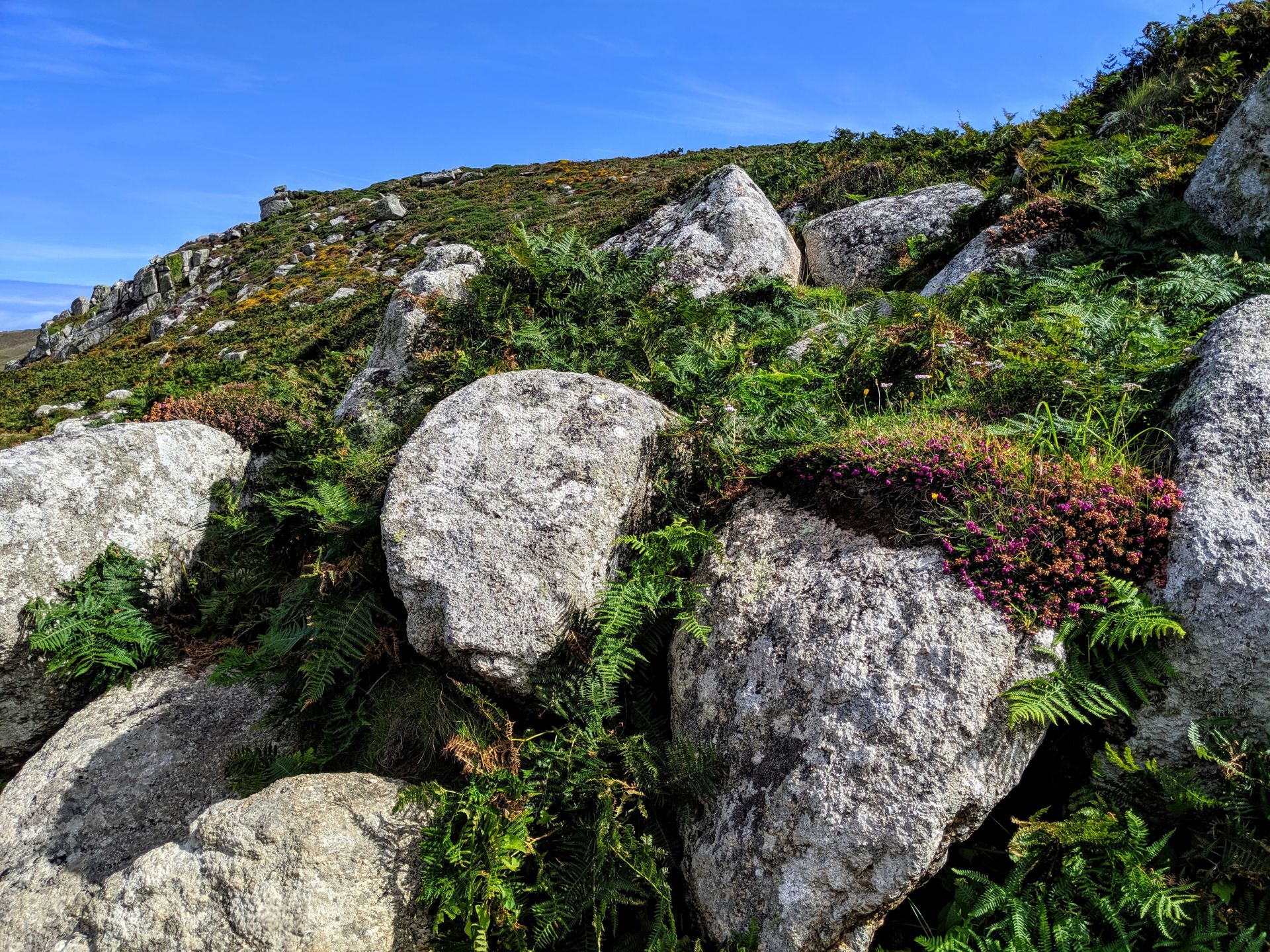
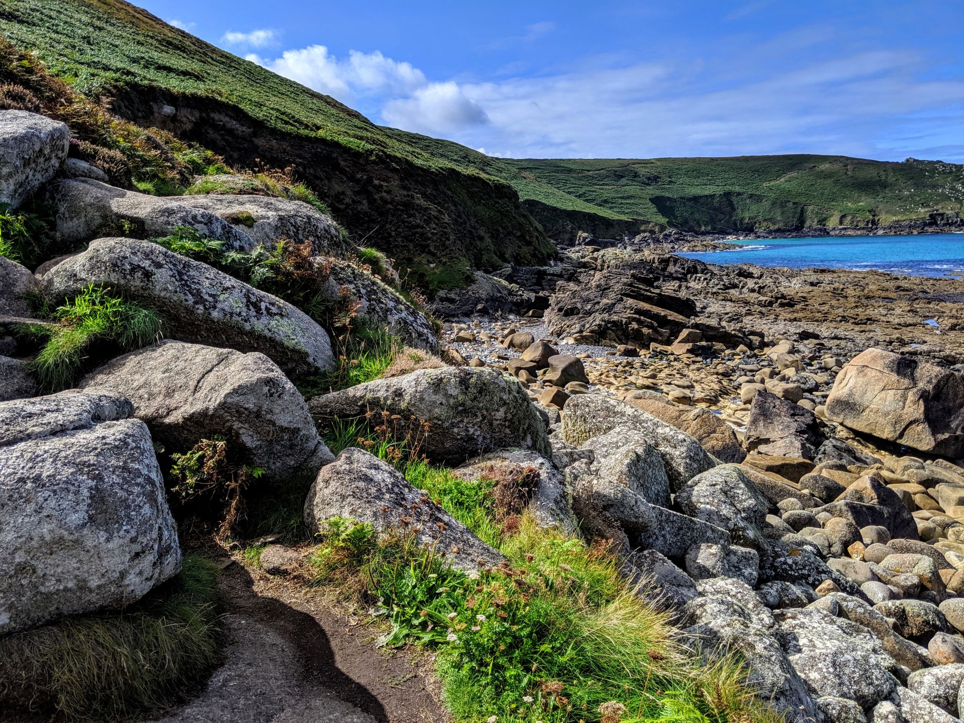
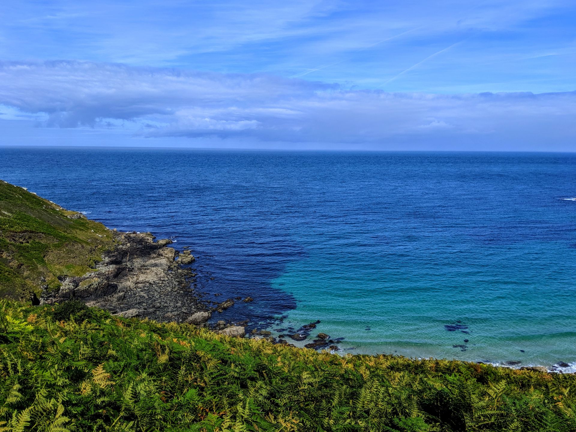
This walk followed the coast as closely as possible which meant the path you walk is ever changing and I mean ever changing. You can go from walking on sand, over boulders, on grass to bogs within the same mile. I can’t express how much I loved this fact, the sea and coast is utterly stunning but usually by mile 12 you have seen all the coast you want to see, coves start to look the same and it all becomes a little samey. So having a path that is ever changing really keeps you motivated and excited to keep going.

I couldn’t believe how lucky I had gotten with the weather. Back home they were struggling with rain and storms, I was struggling to drink enough water in the heat.
For the day to day planning I used the Southwest Coast Path website who included the following as highlights of this section of the path.
- Seal spotting from Mussel Point and watching the Atlantic crashing against the offshore Carrack Rocks.
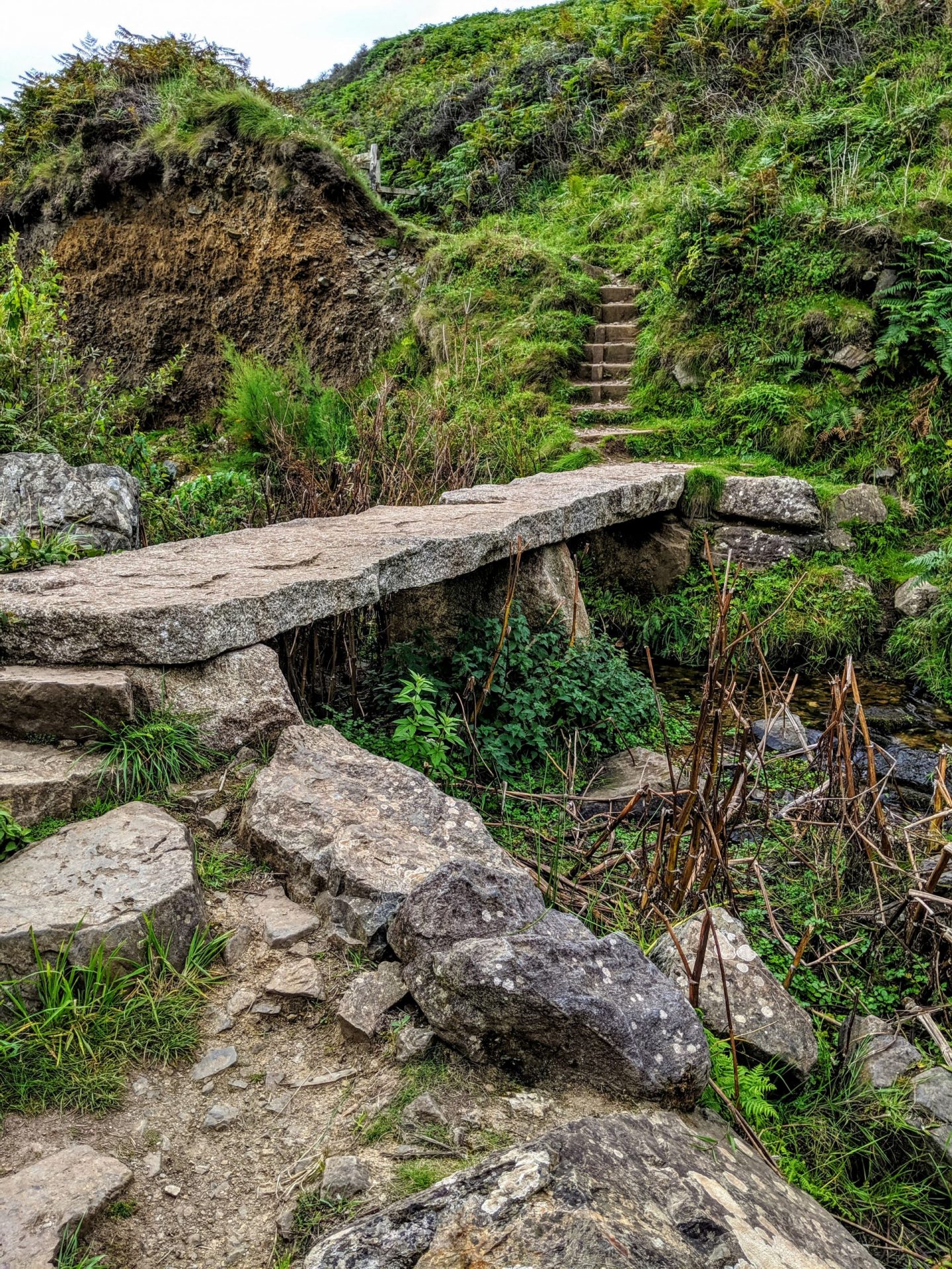
- Crossing the stream and looking at the rugged cliffs and giant fingers of granite above Wicca Pool.
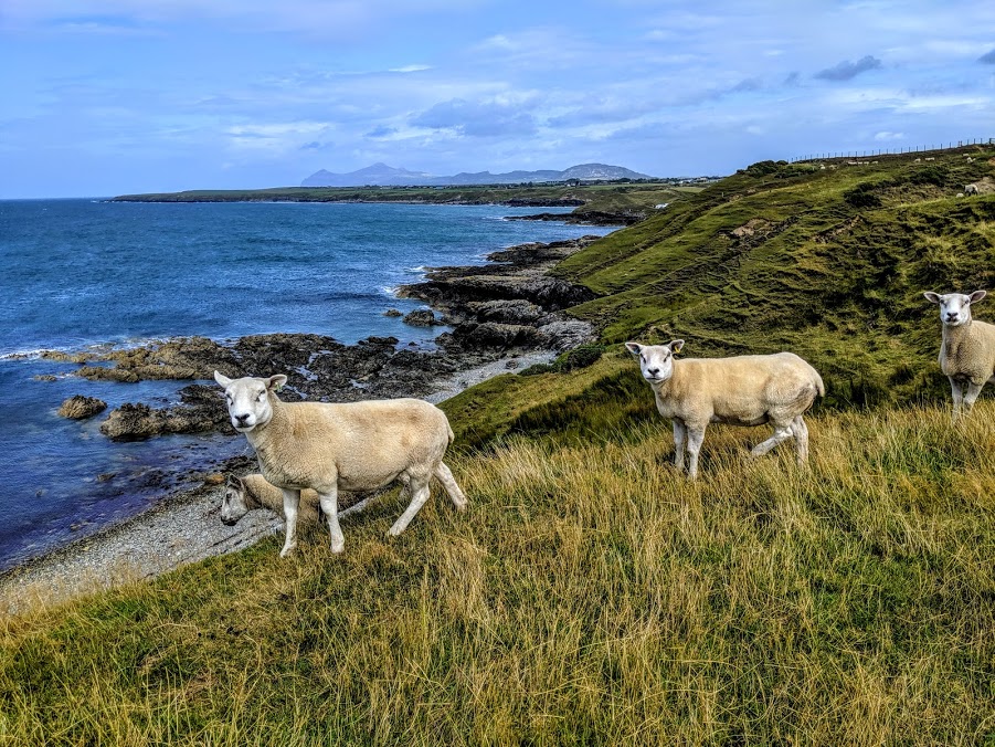
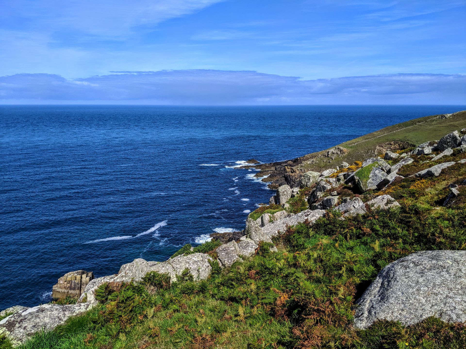
- Fantastic views from Zennor Head to Pendour Cove below. You may be able to see dolphins from here. The field systems in this area date from the Bronze Age and are still farmed sensitively so as to enhance wildlife and protect historic features.
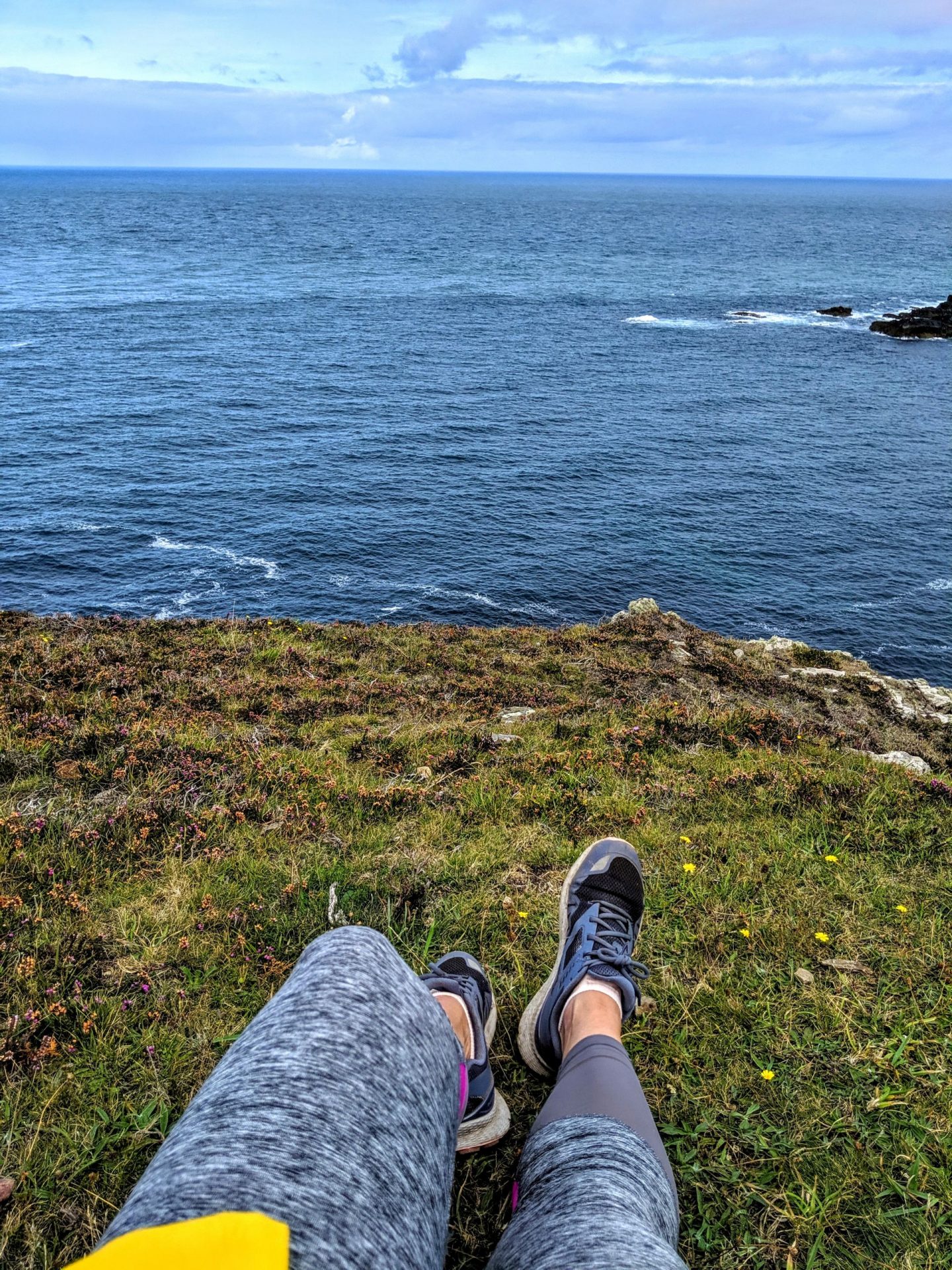
I did try and stop as often as possible, imagine walking the coastal path and never stopping to take it all in. It can get very easy while walking long distances to just keep looking forward and forget why you are there so every so often I would sit down for a snack or drink and really make an effort to look round, to try and absorb what I was seeing.
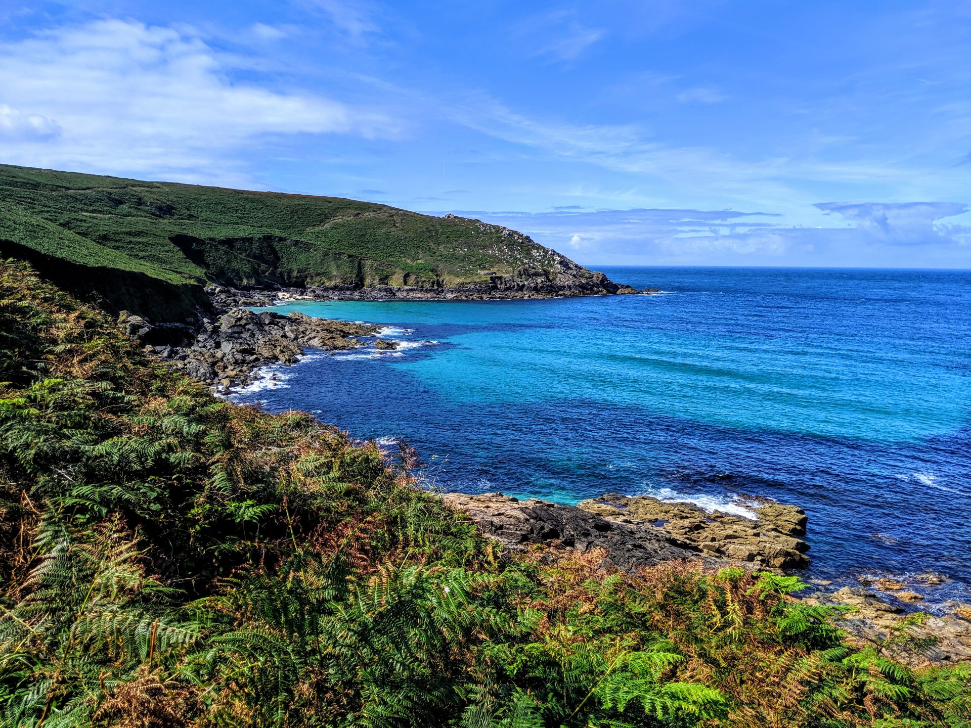
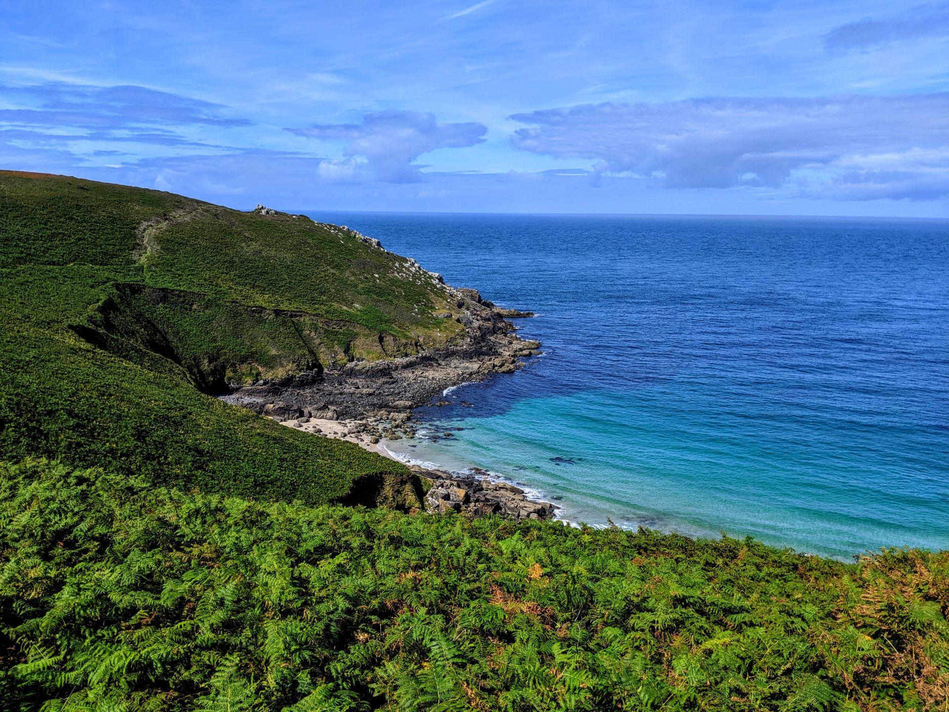
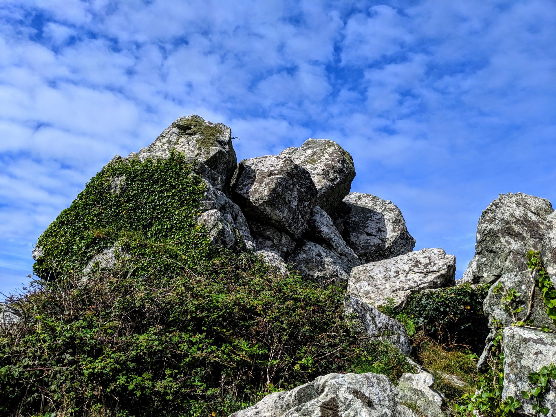

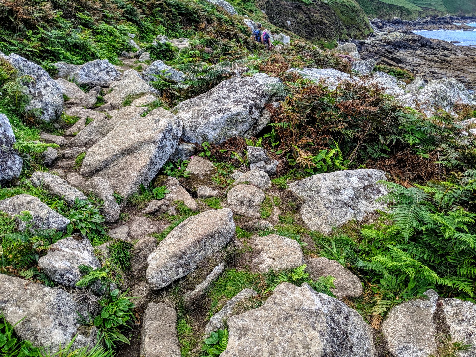
As you near Zennor the route becomes, if anything, more taxing, with large boulders blocking the way – it doesn’t make the walk impossible, but those not used to conditions like this may find it challenging.