“The purpose of life, after all, is to live it, to taste experience to the utmost, to reach out eagerly and without fear for newer and richer experience.” – Eleanor Roosevelt
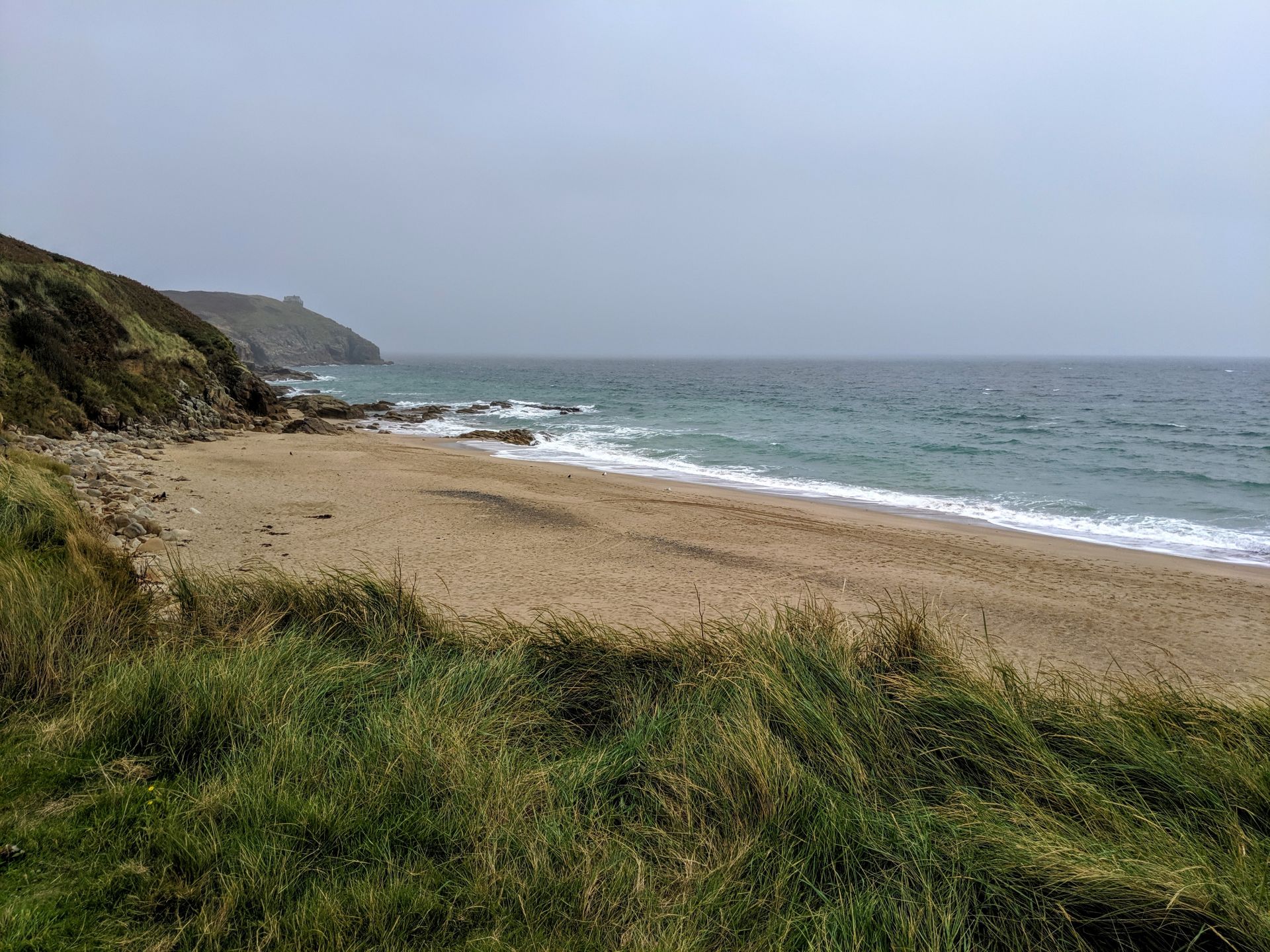
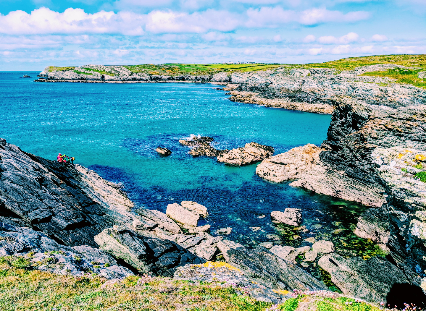
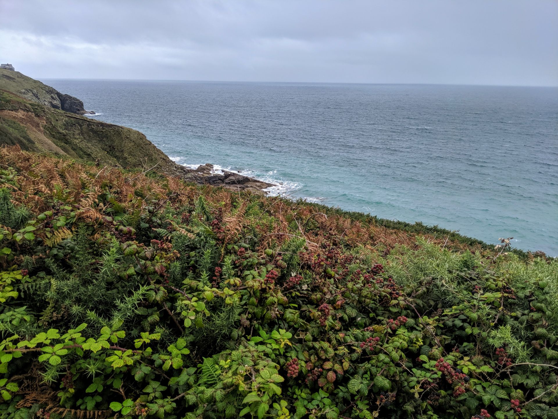
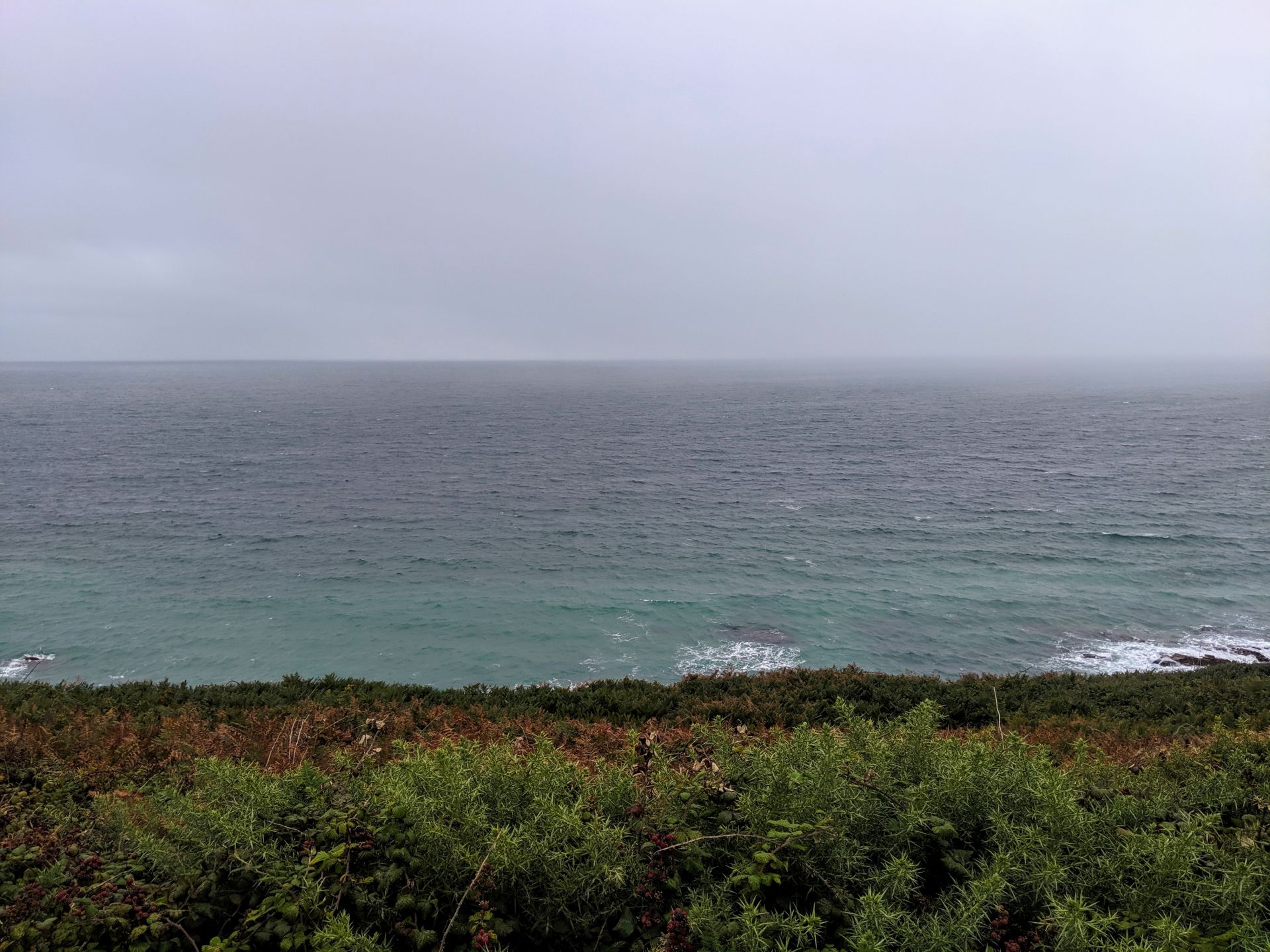
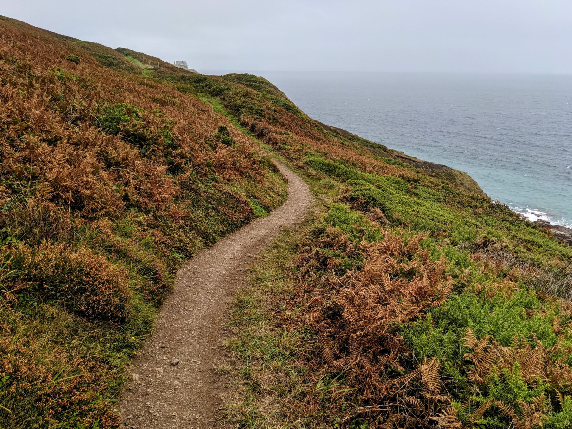
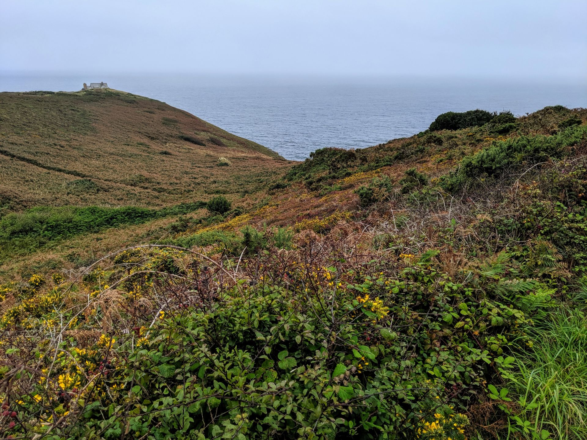
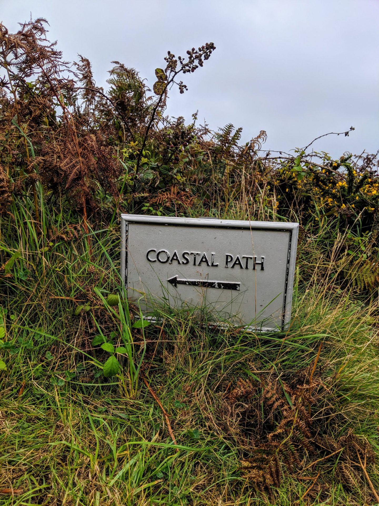
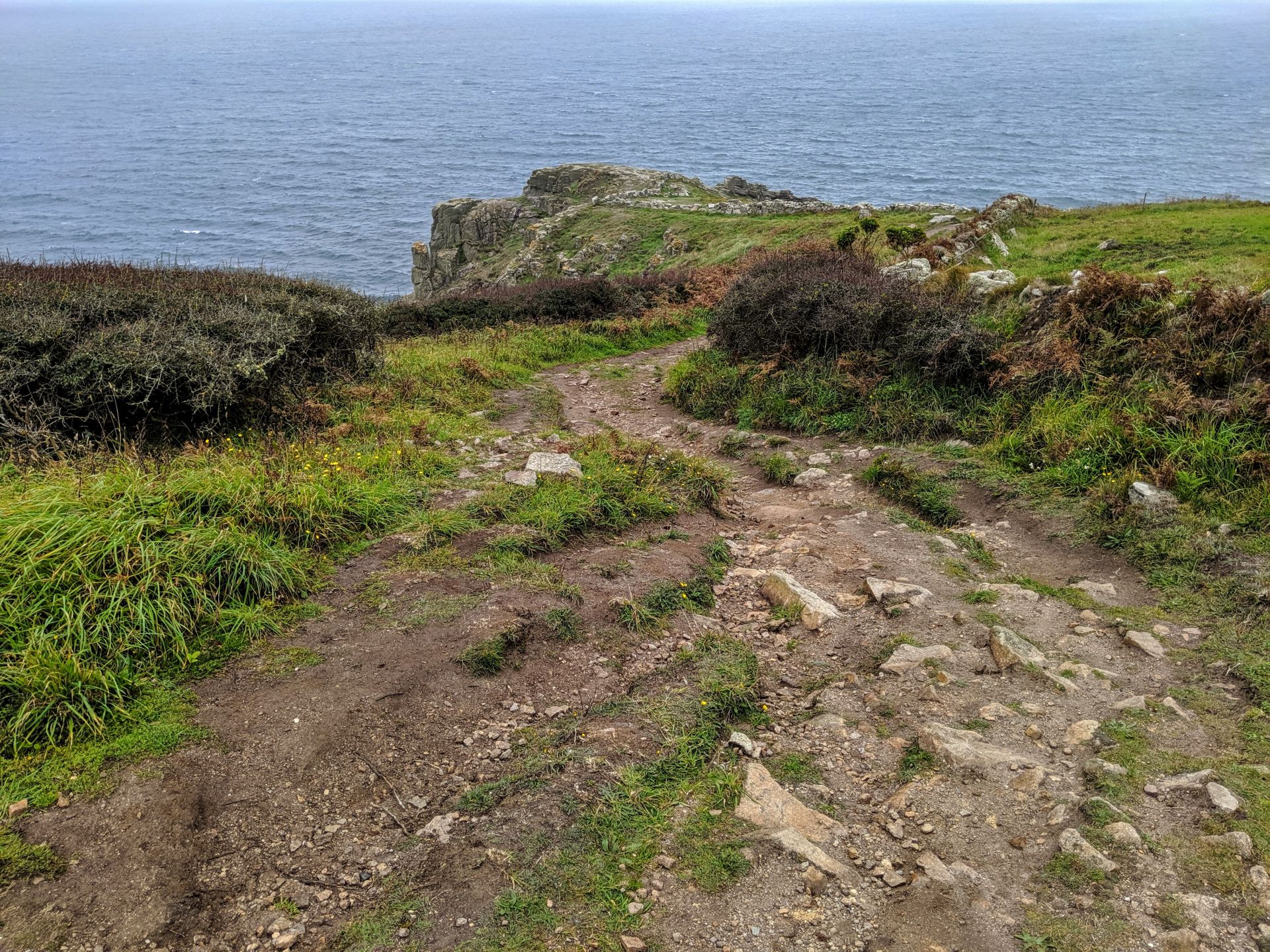
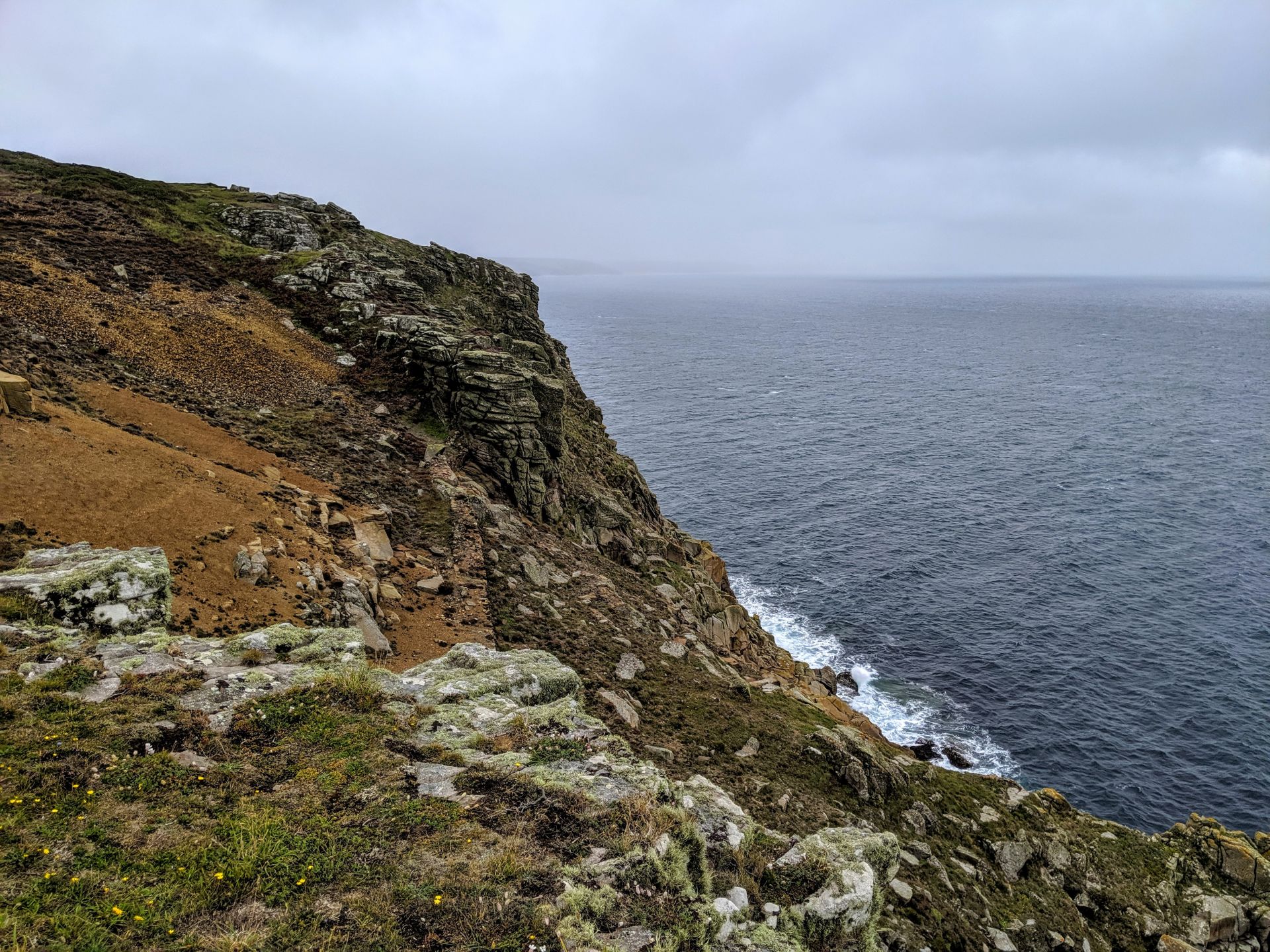
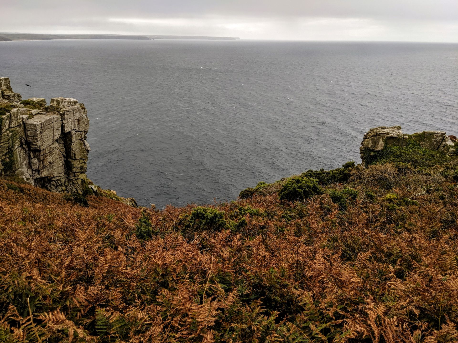
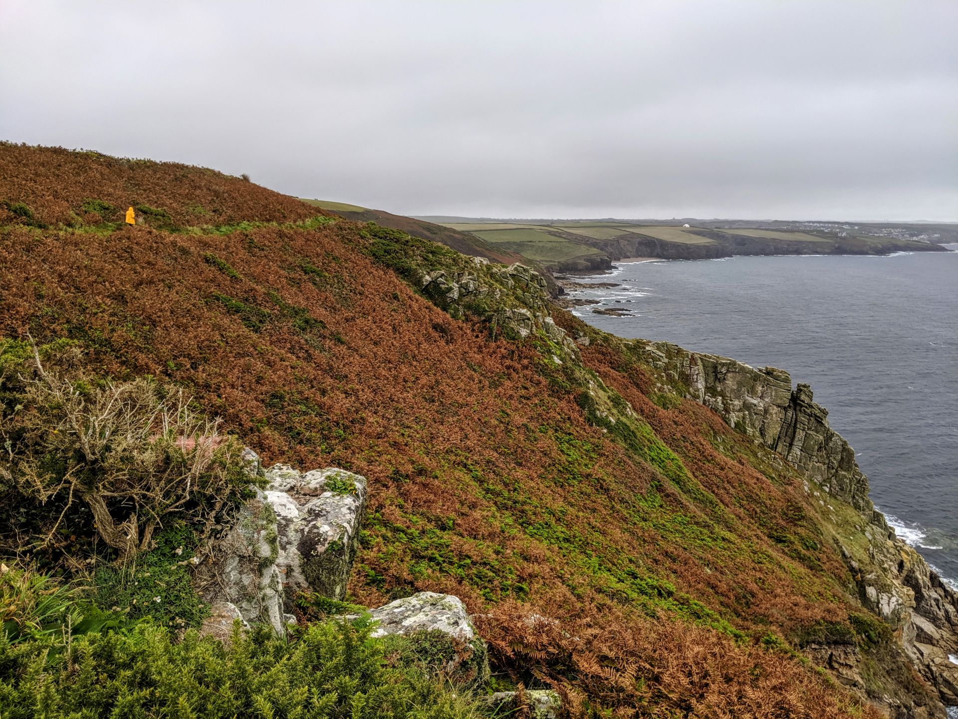
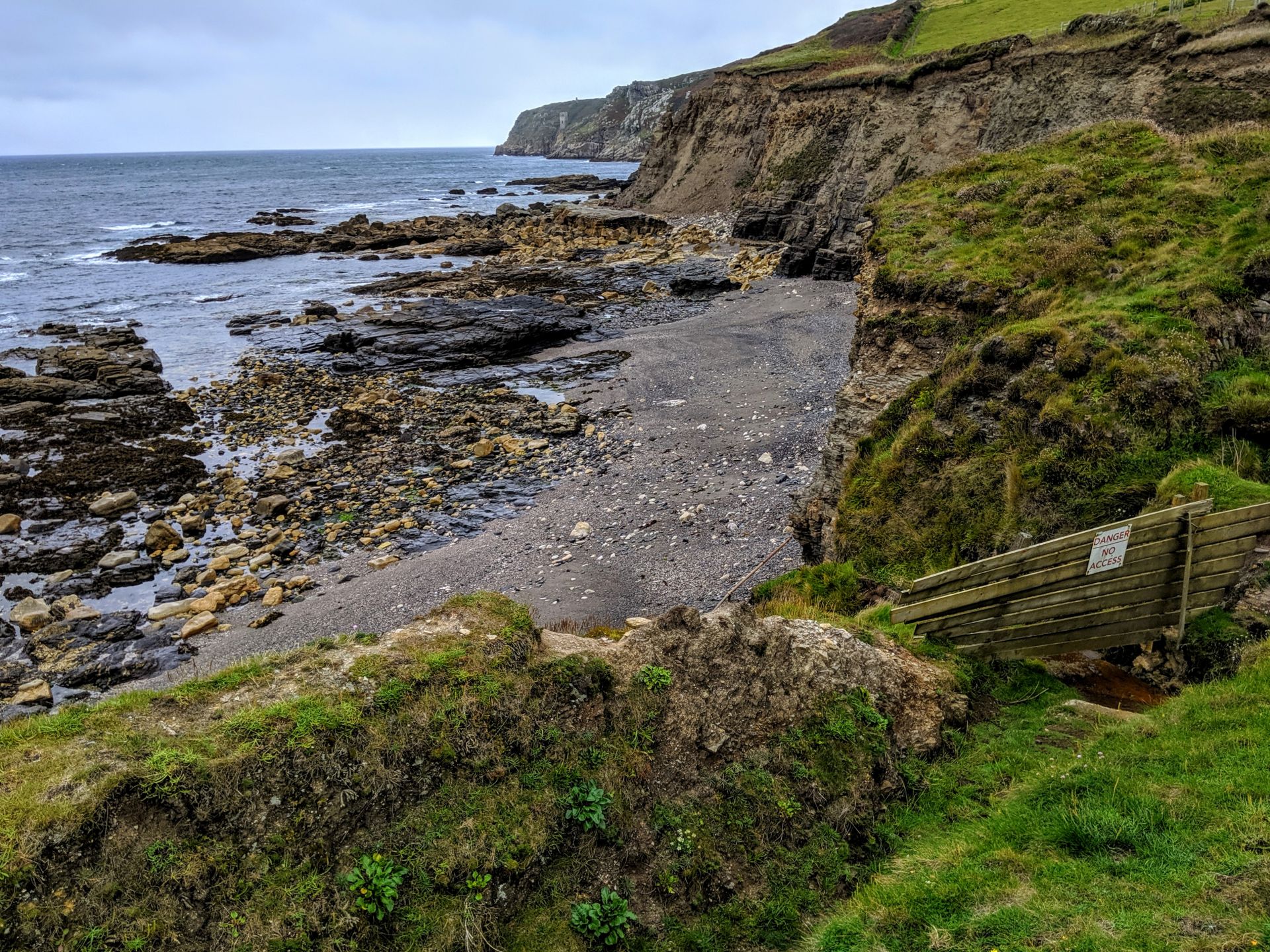
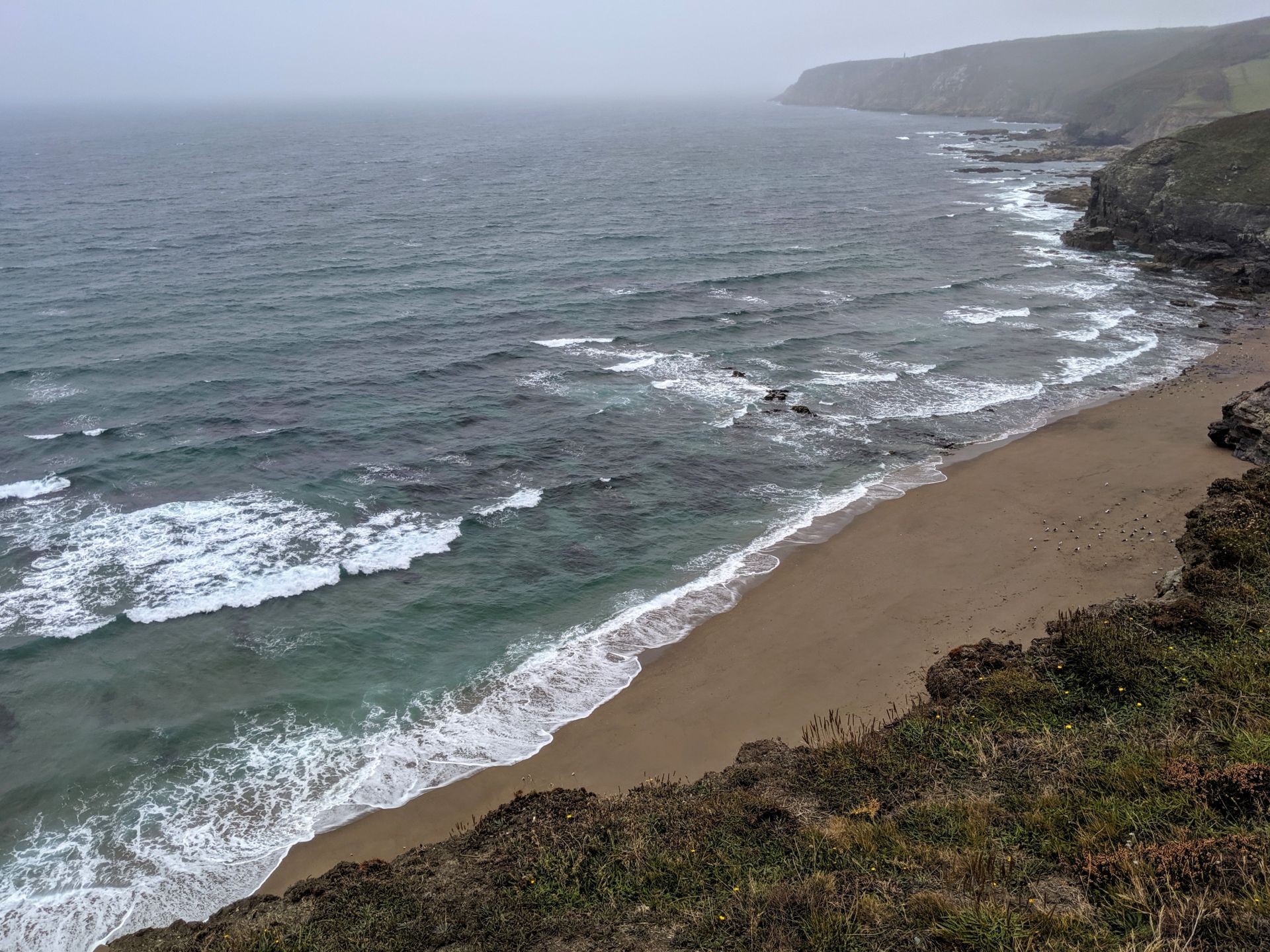
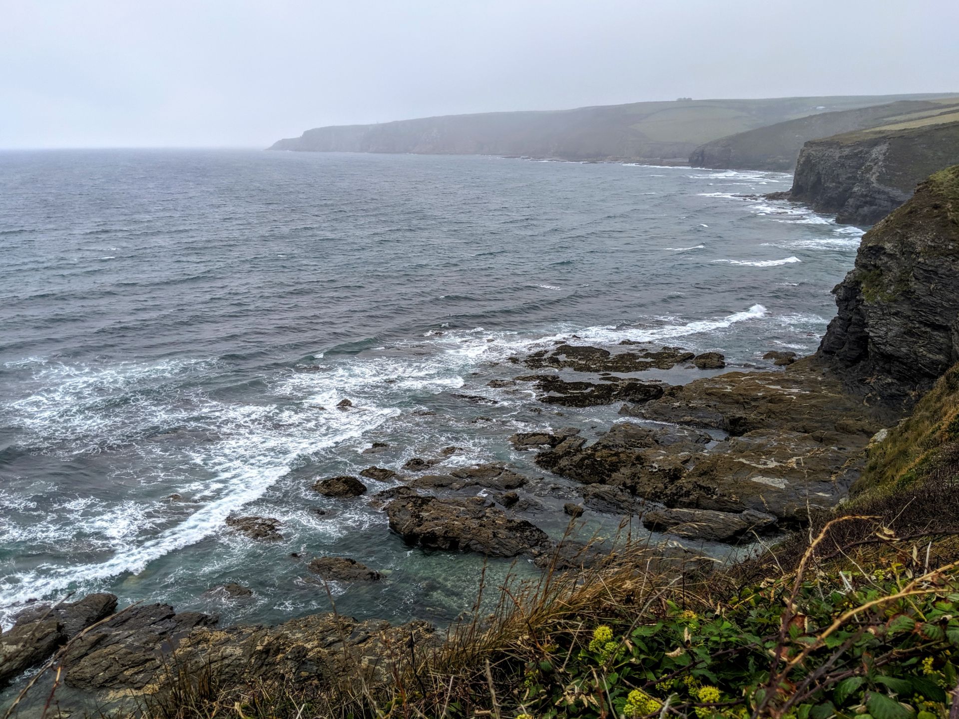
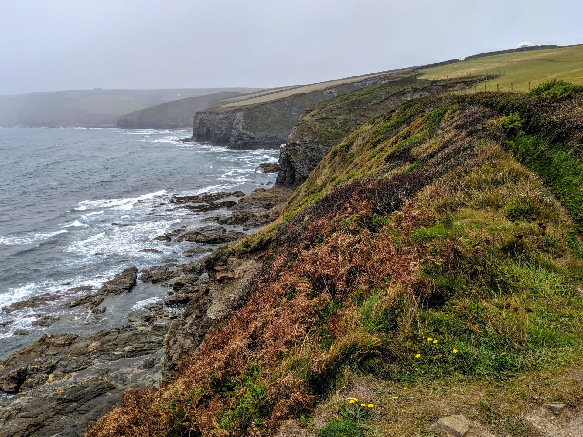
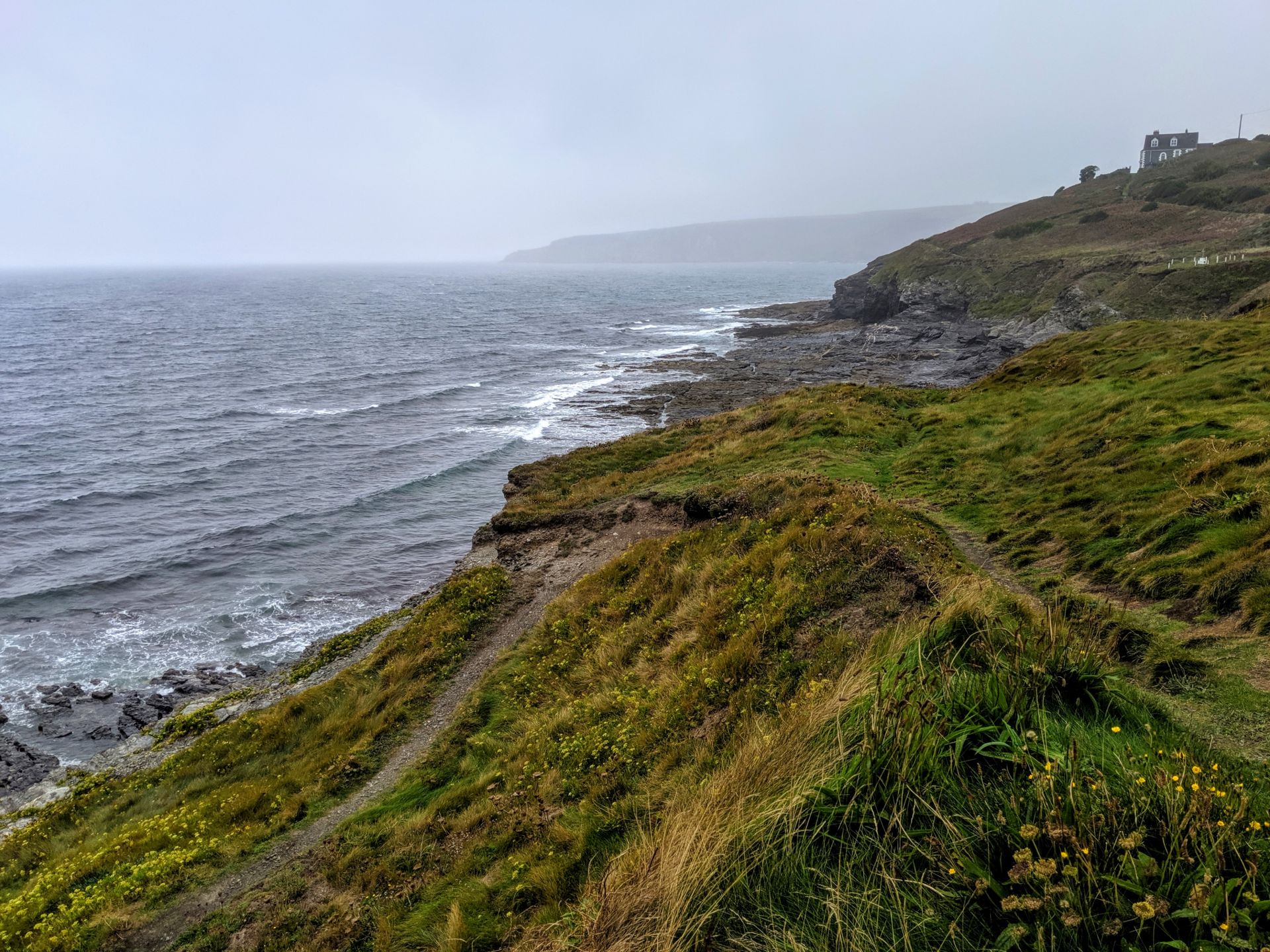
Travelling through a landscape with clear evidence of a mining history, especially around Perranuthnoe, the Path passes tempting sandy beaches, followed by rugged scenery beyond Rinsey Head where there are some tiring climbs. The granite then turns to slate resulting in dramatic vertical cliffs. The stretch on the approach to the pretty fishing village of Porthleven is designated a Site of Special Scientific Interest.
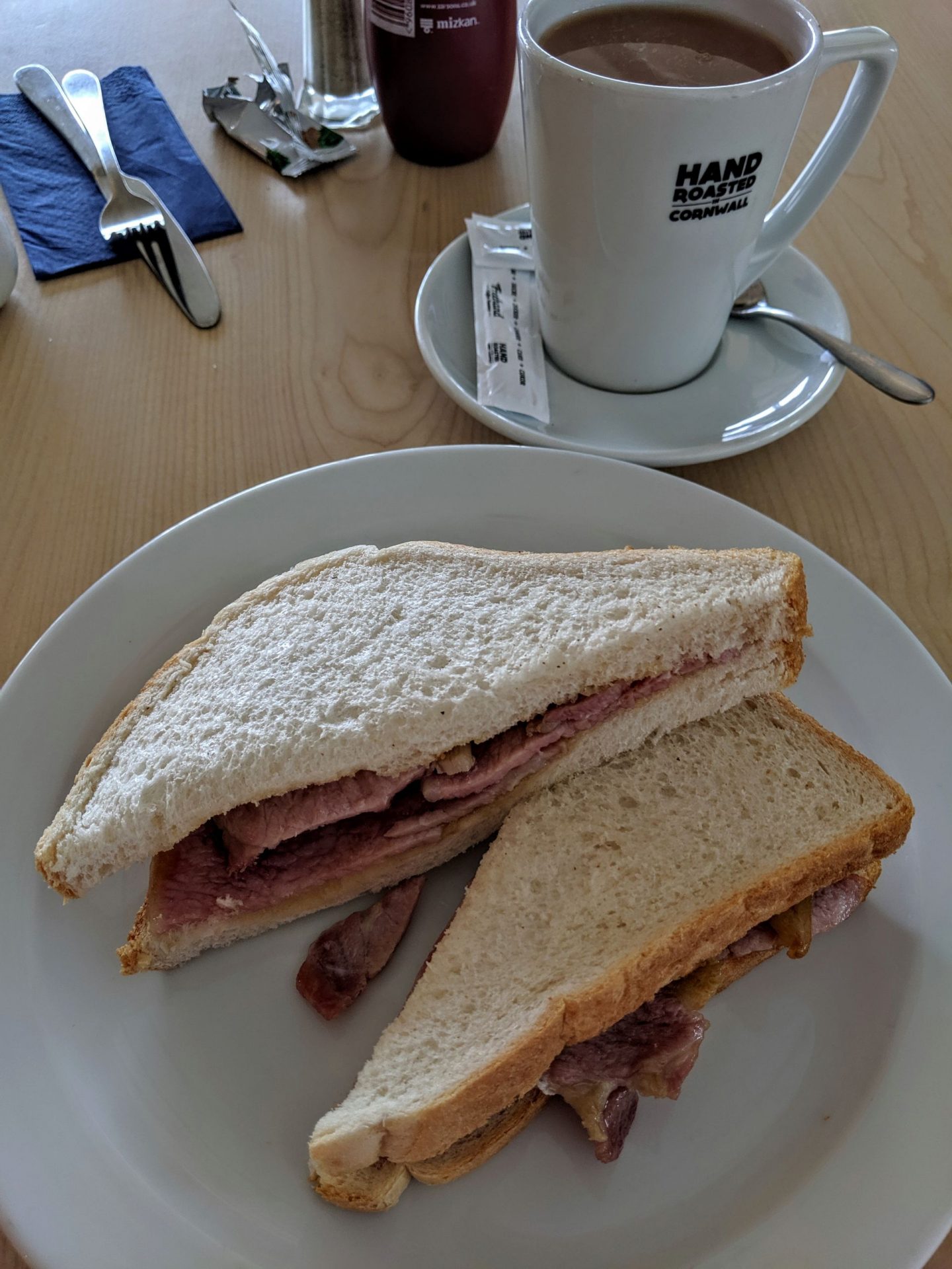
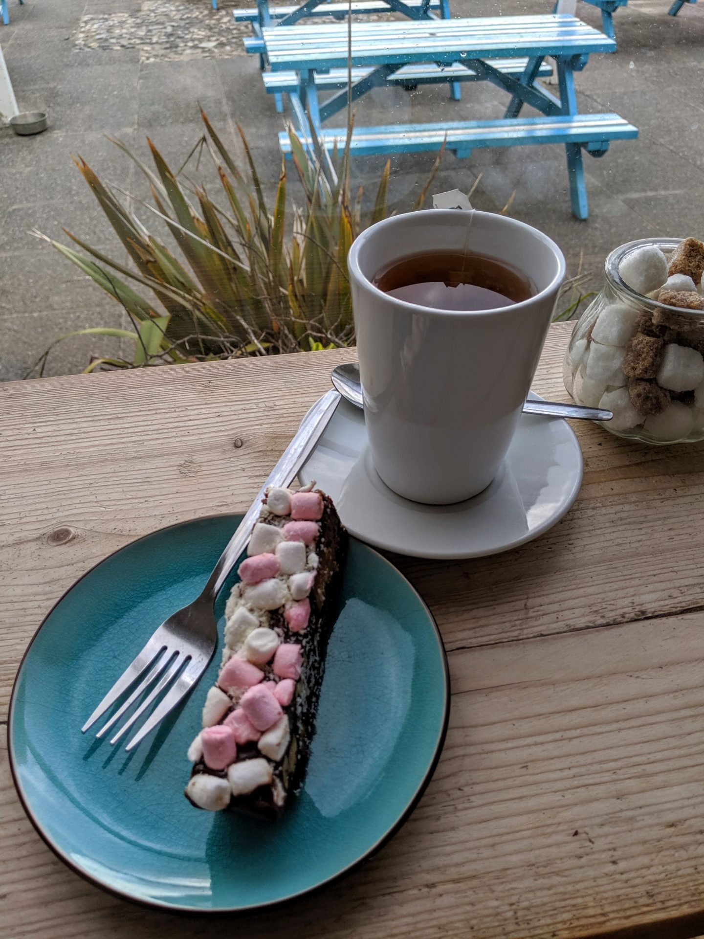
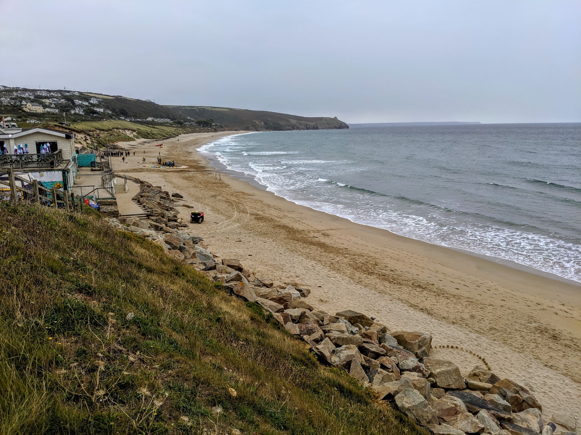
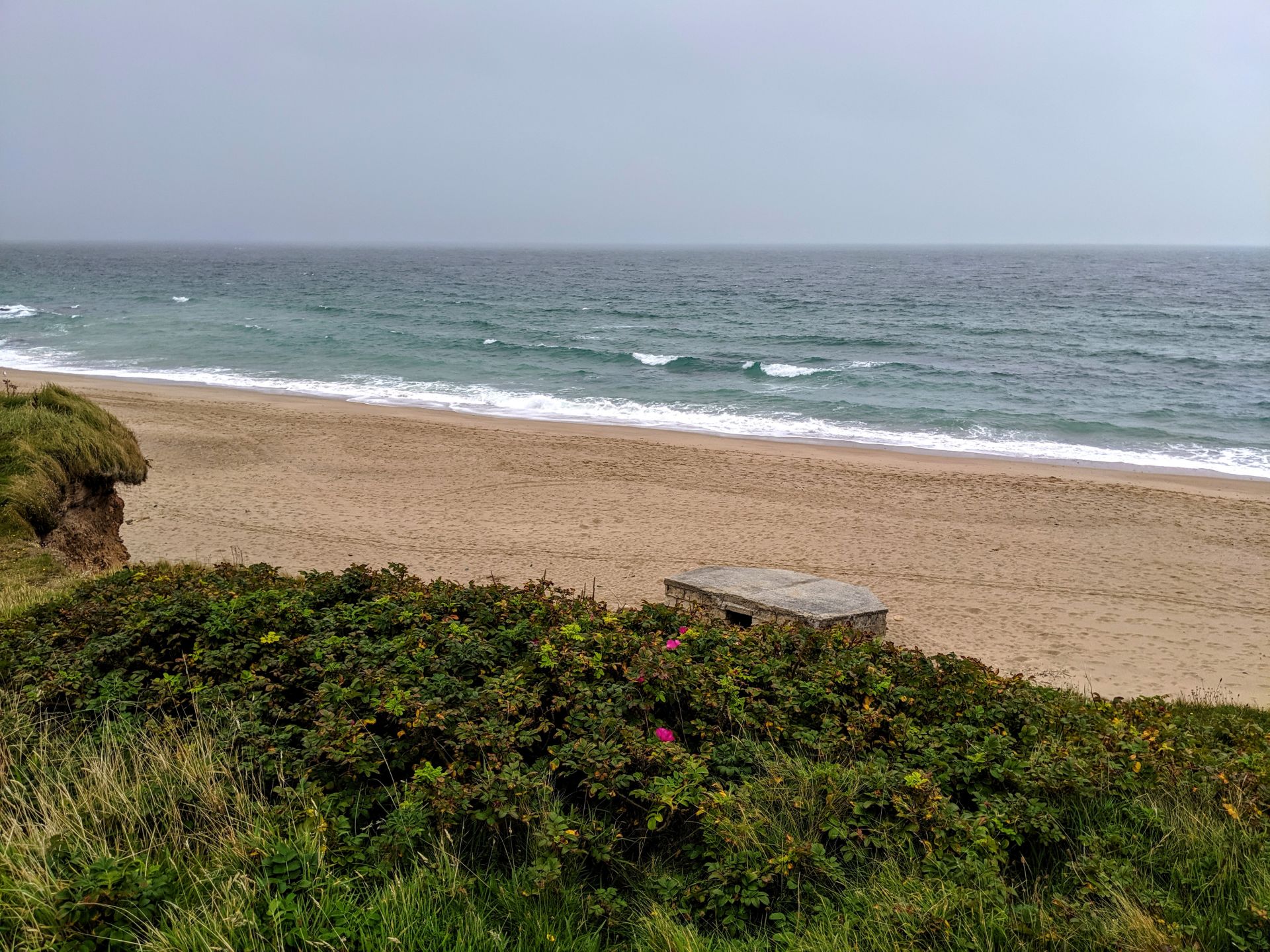
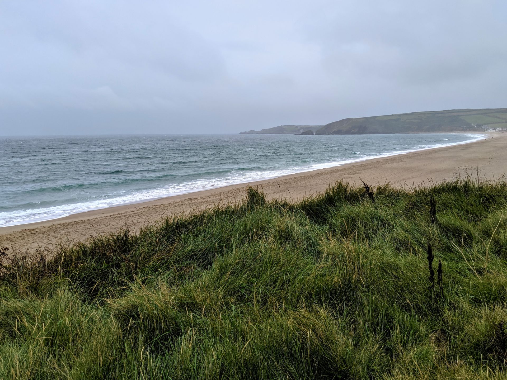
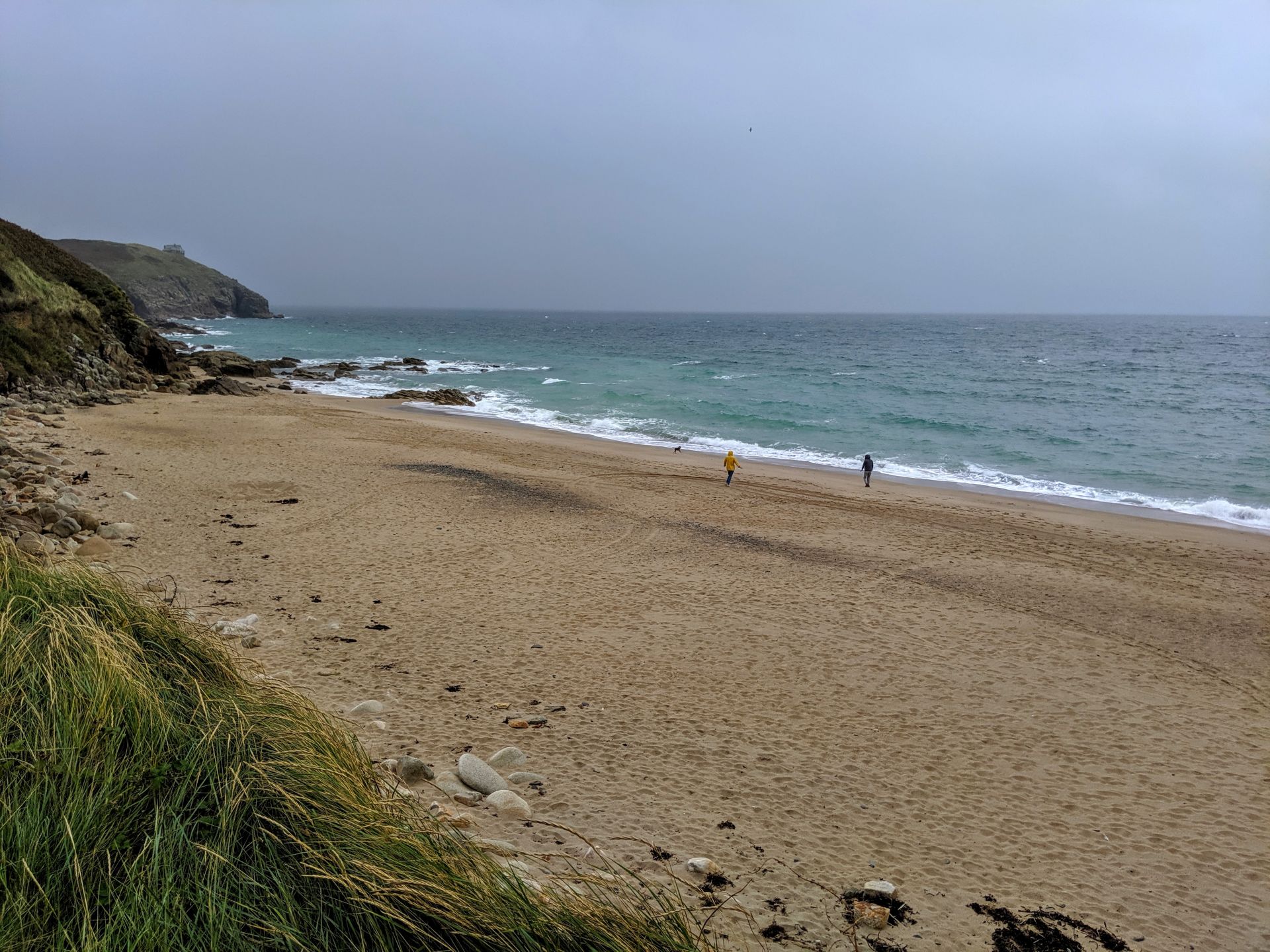
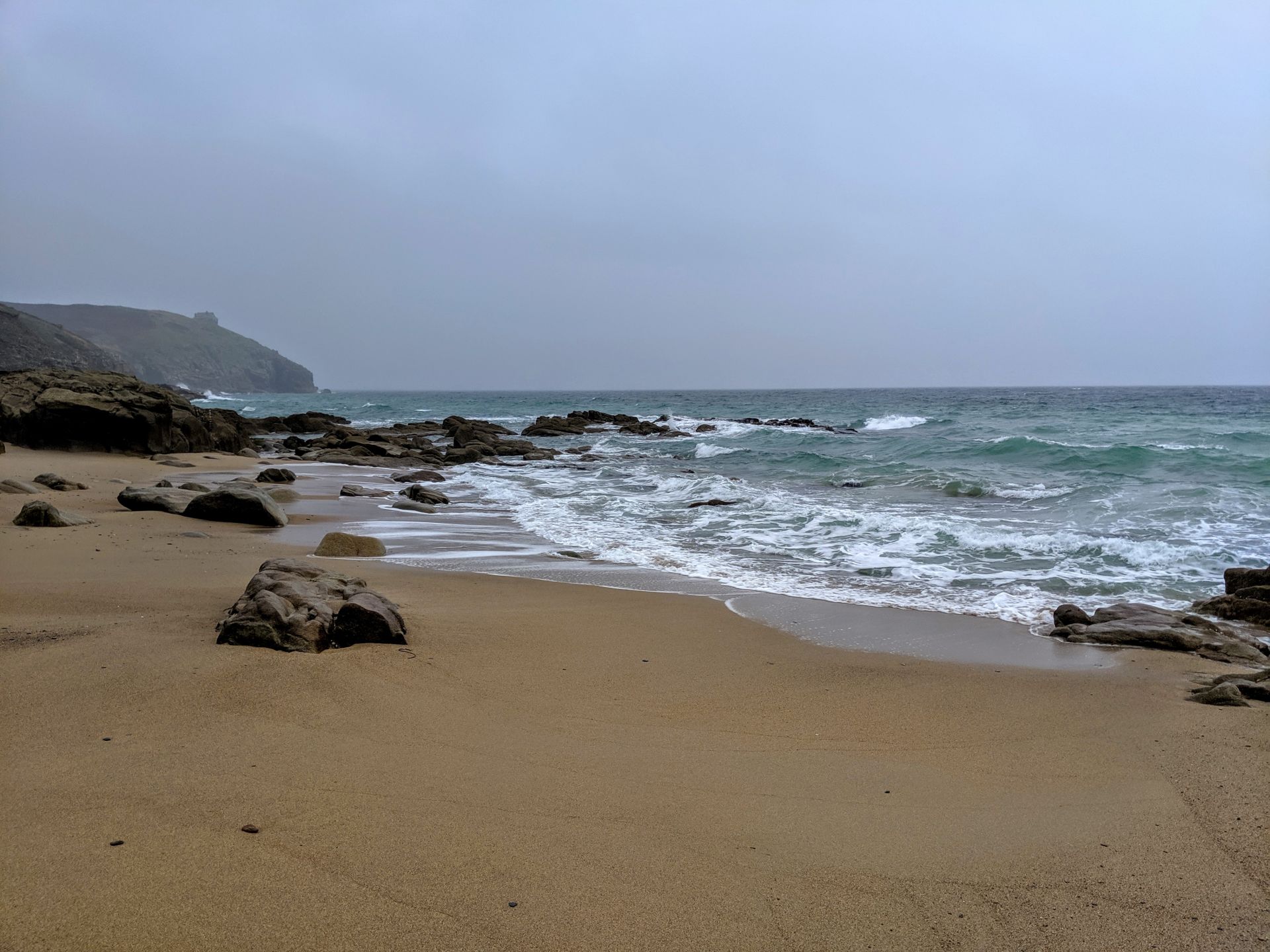
With the rain starting to really come down I found a pub serving bacon butties so for the first time in a week got cosy with a tea and watched the news while the storm passed. The village of Praa Sands is located roughly half way between the towns of Penzance and Helston. The main feature is the extensive sandy beach which srtetches for about a mile between Hoe Point in the west and Rinsey Head in the east.

There is also a bit of history here. Just inland from the middle of the beach is Pengersick Castle. Built for refuge and defence, its four-storey tower dates back to the 16th century and was part of an extensive fortified Tudor mansion that no longer exists. It has some of the interesting features you would associate with this kind of building including facilities for pouring burning oil on your enemies!
Pengersick is rumoured to be haunted. It’s possible this reputation was spread by local smugglers to discourage visitors. However, the bedroom in the tower is said to be Britain’s most haunted and is a favourite with ghost hunters. It is said that the ghost of a black-robed monk wanders the grounds.
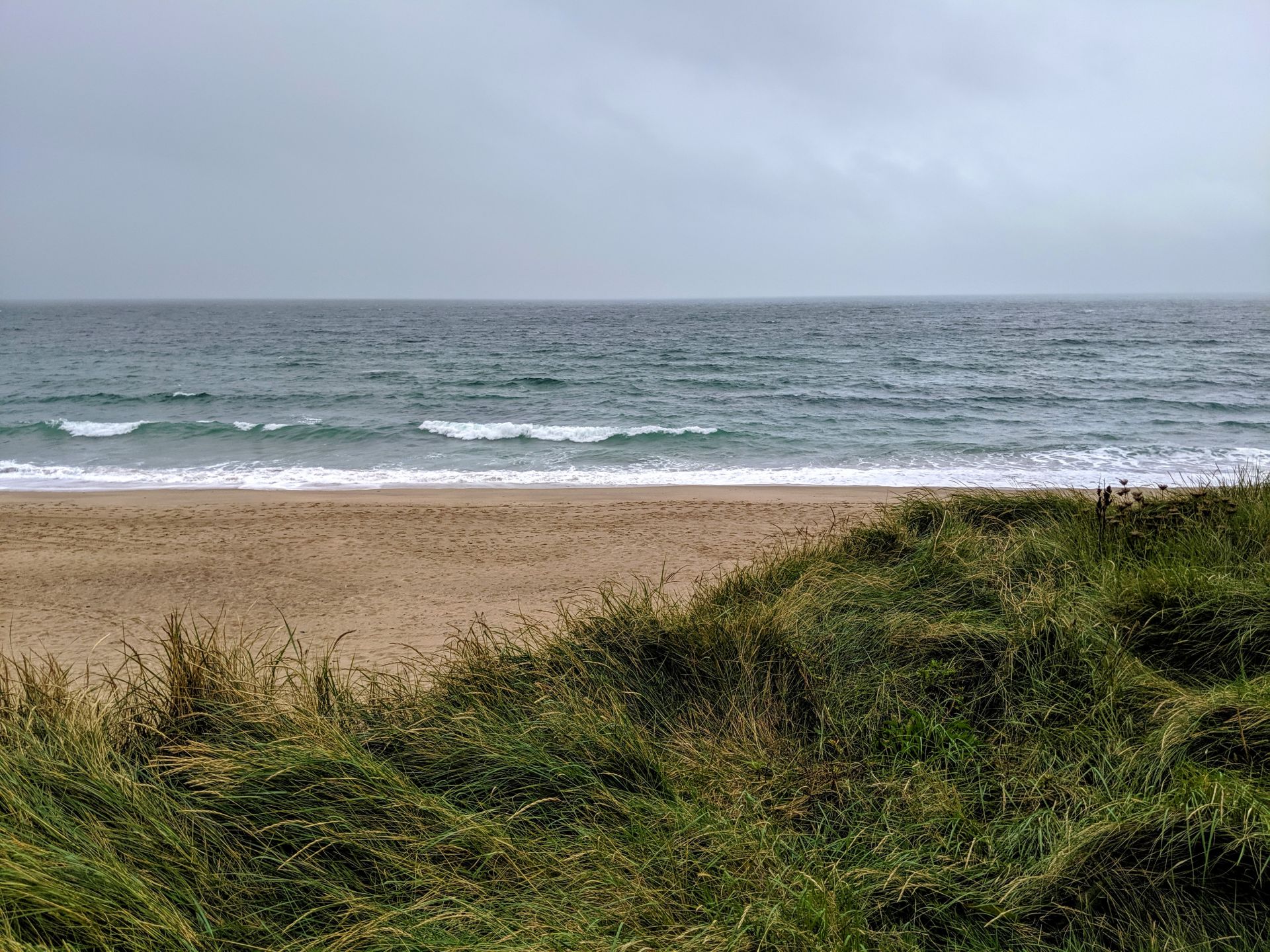
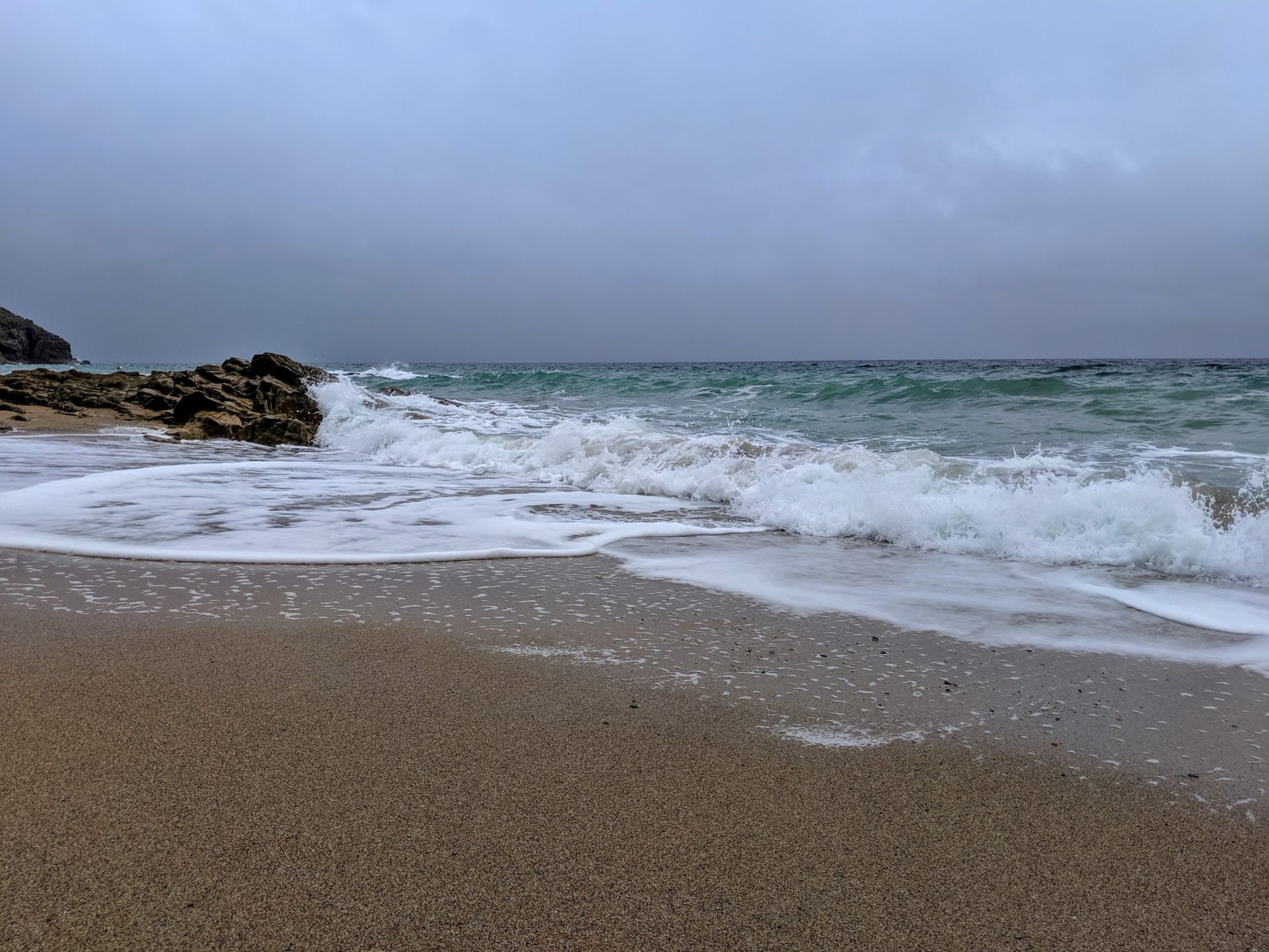
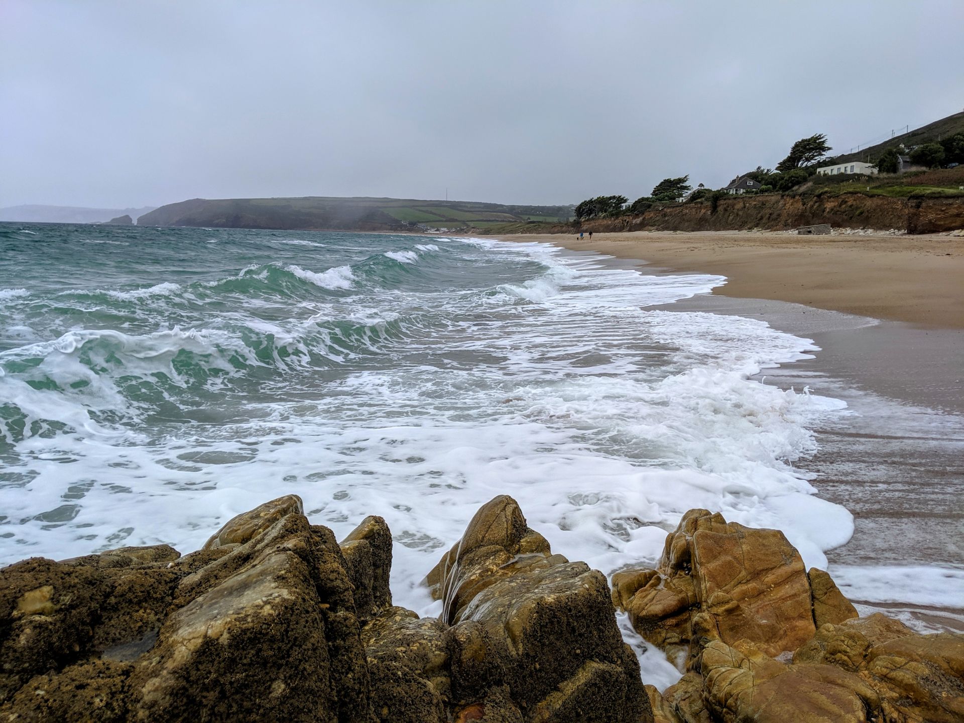
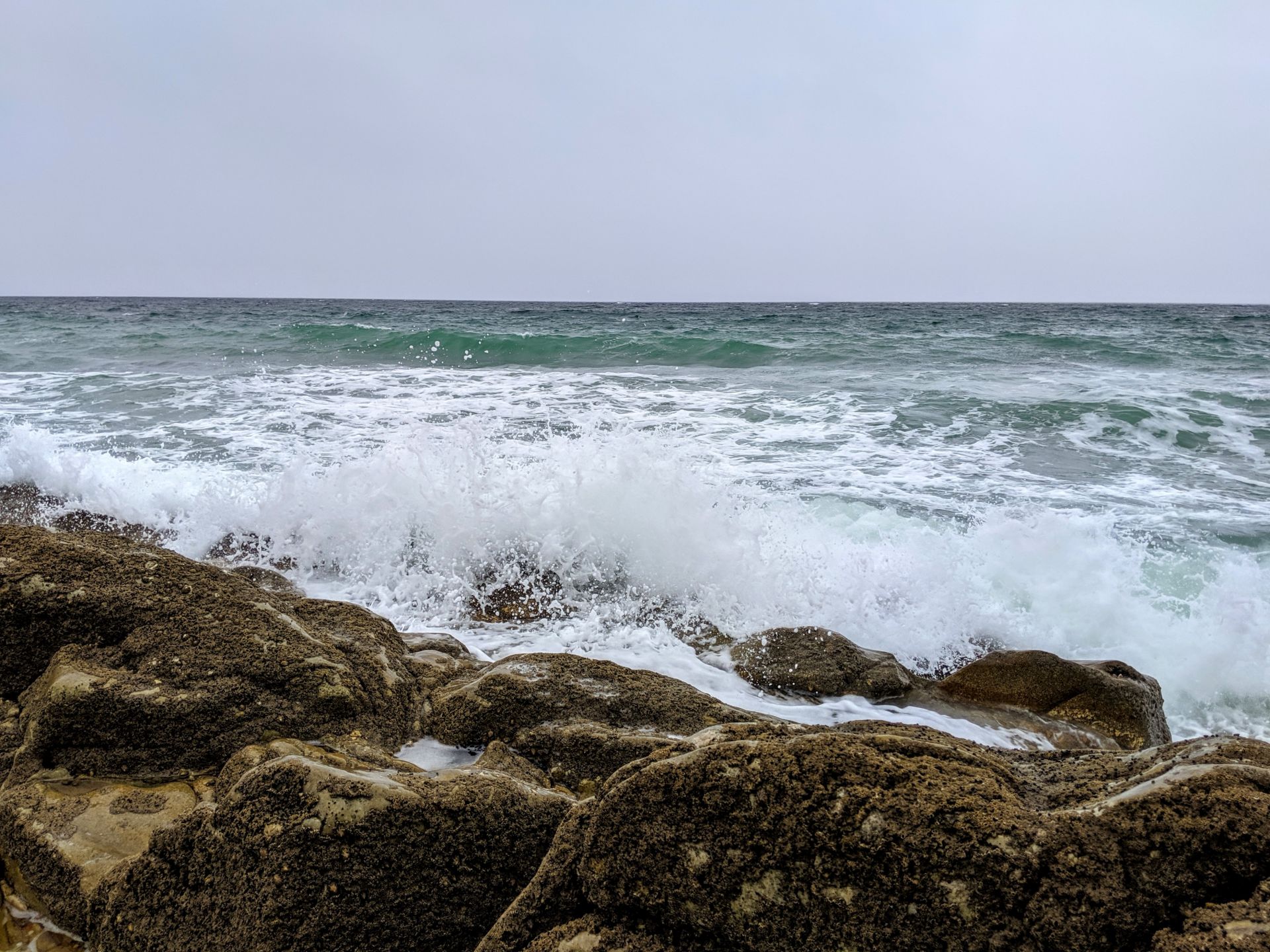
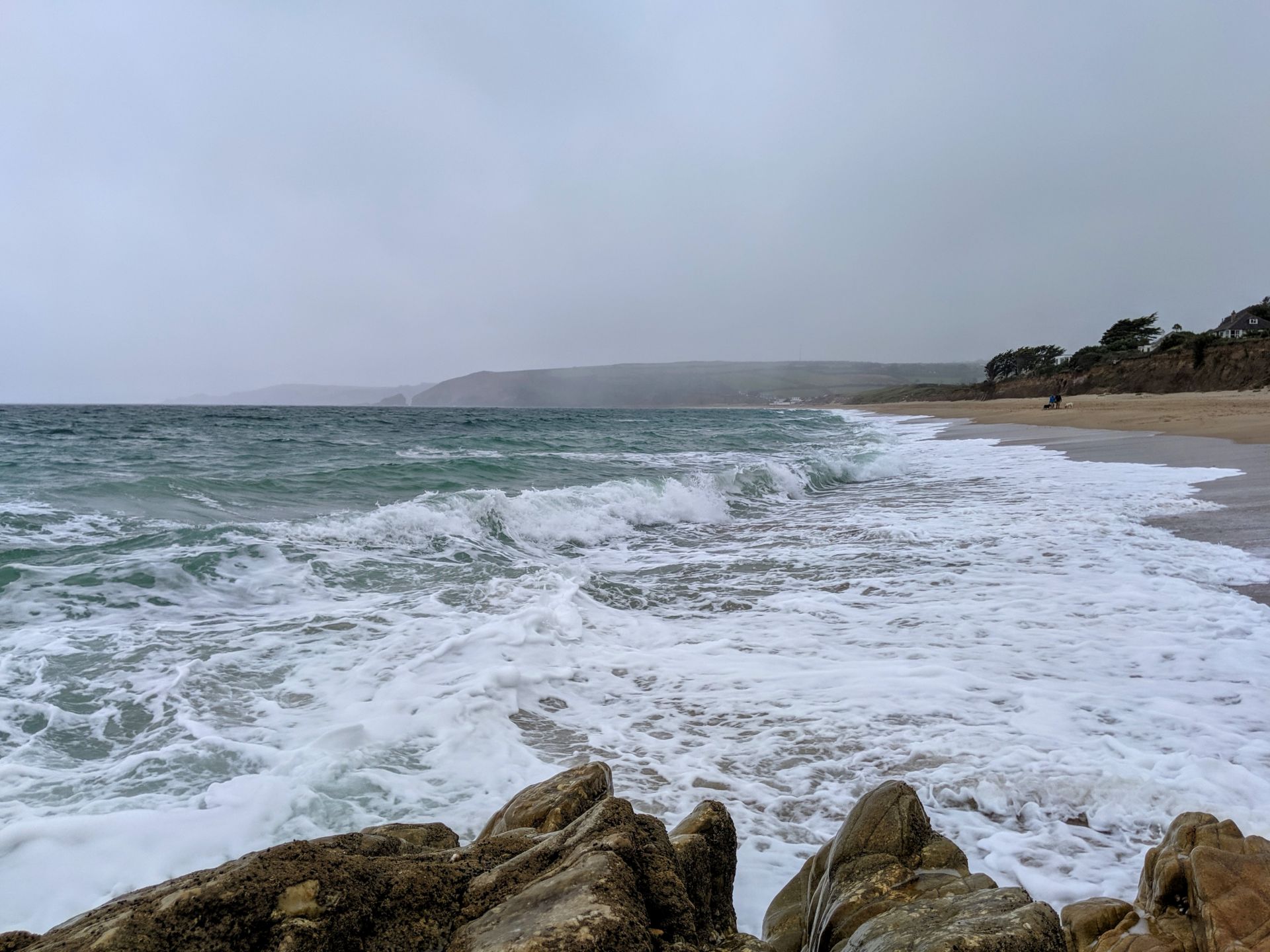
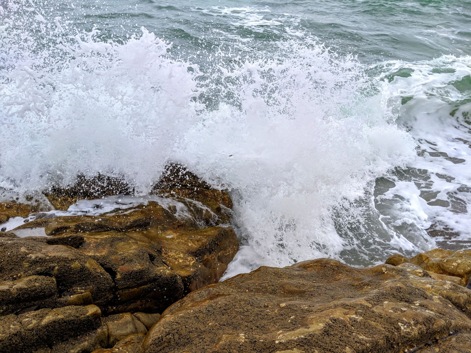
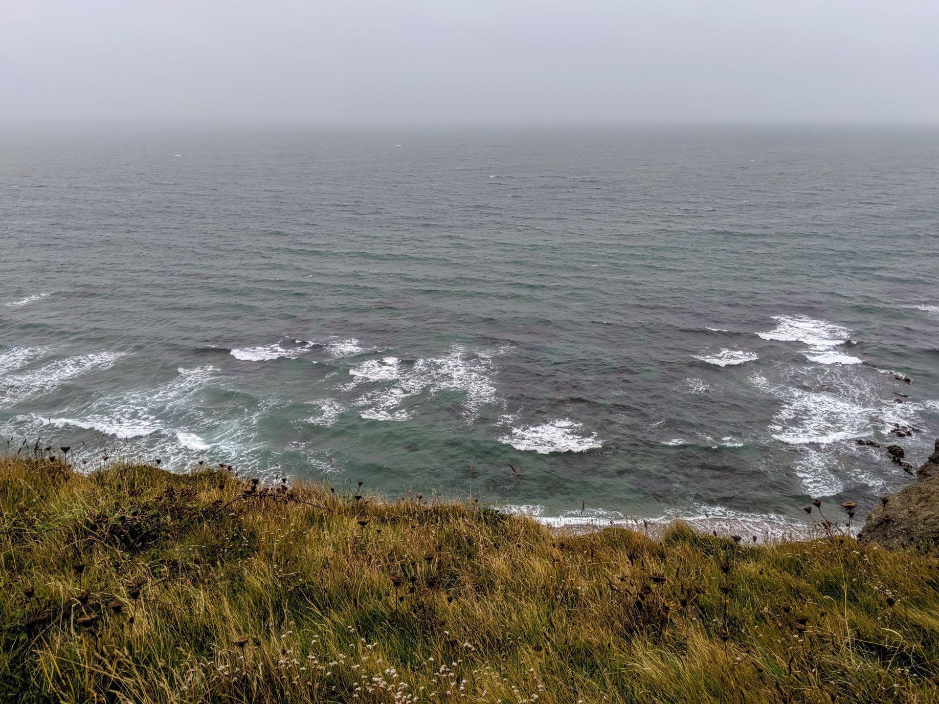
Trying to get a picture of the in coming storm across the sea meant getting a little too close the waves, the second I looked away I got a wave in the face!!
There are also someinteresting geological features along the beach and has recently been recognised as a Regionally Important Geological/Geomorphical Site. About a third of the way along the beach is a black platform at the base of the dunes. Until recently I assumed this was some kind of pollution but it is in fact a 1,300 year old peat bed made up of the decaying forest that once covered this area.
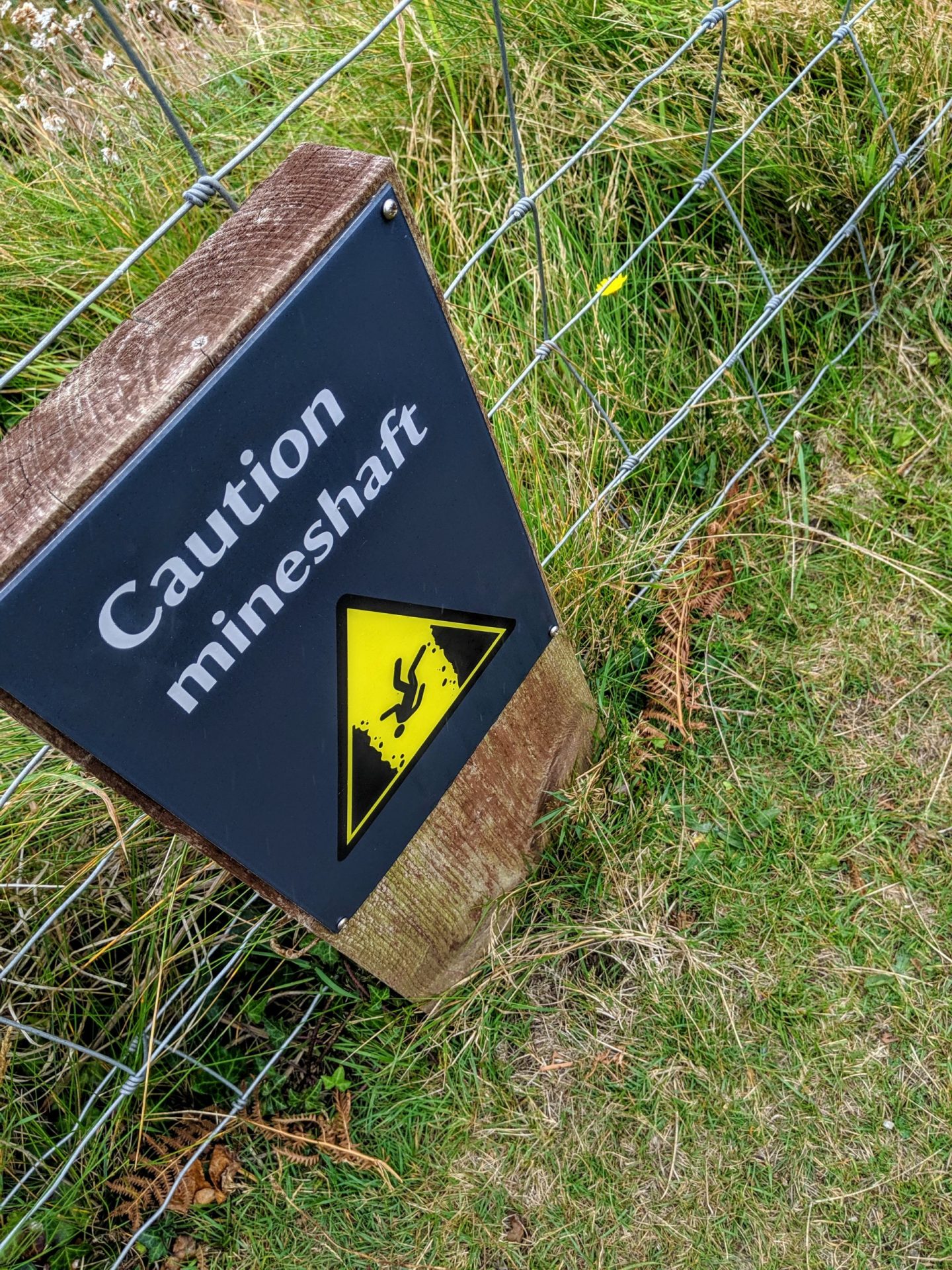
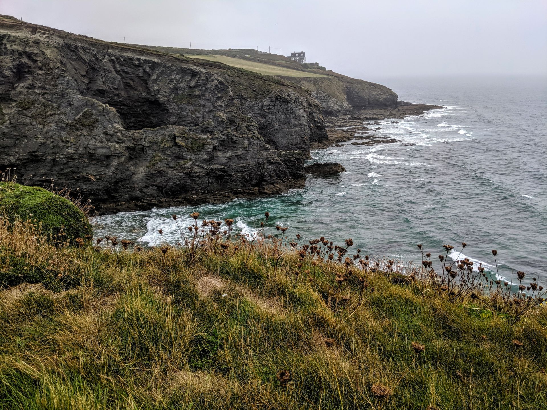
I swear this whole section of the Southwest Coast Path is one big mineshaft!

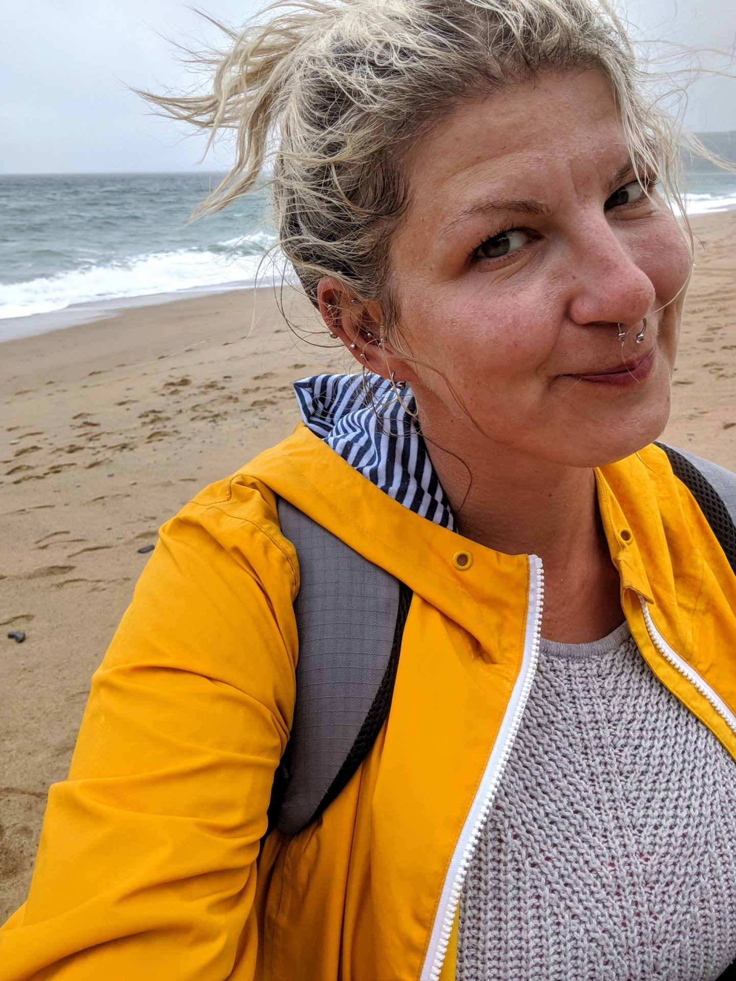
That attractive face!
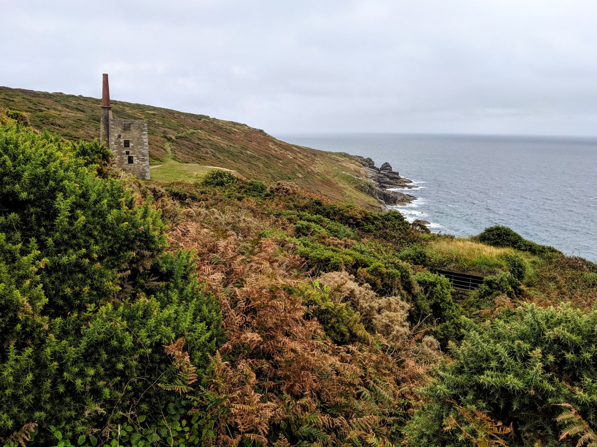
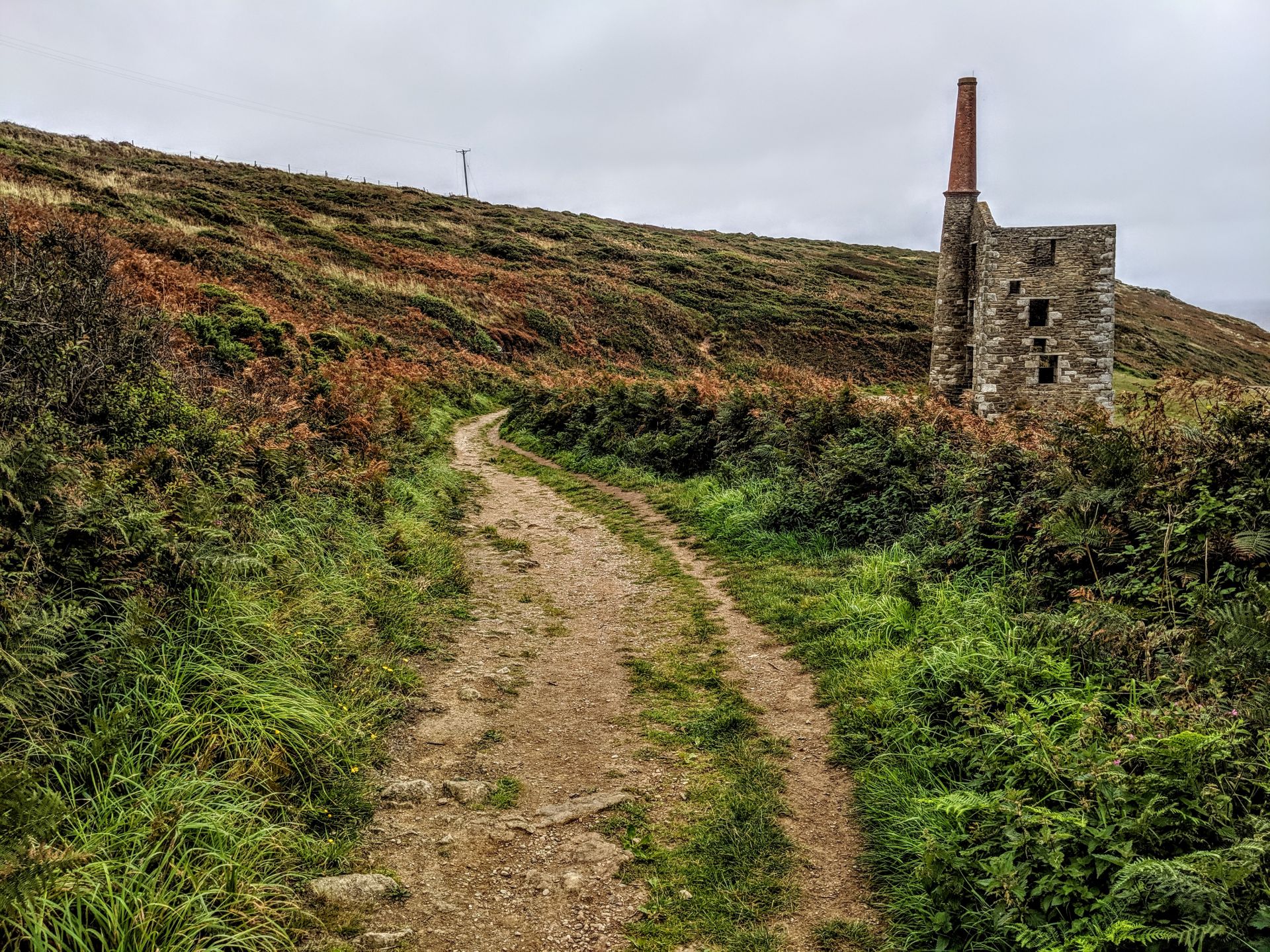
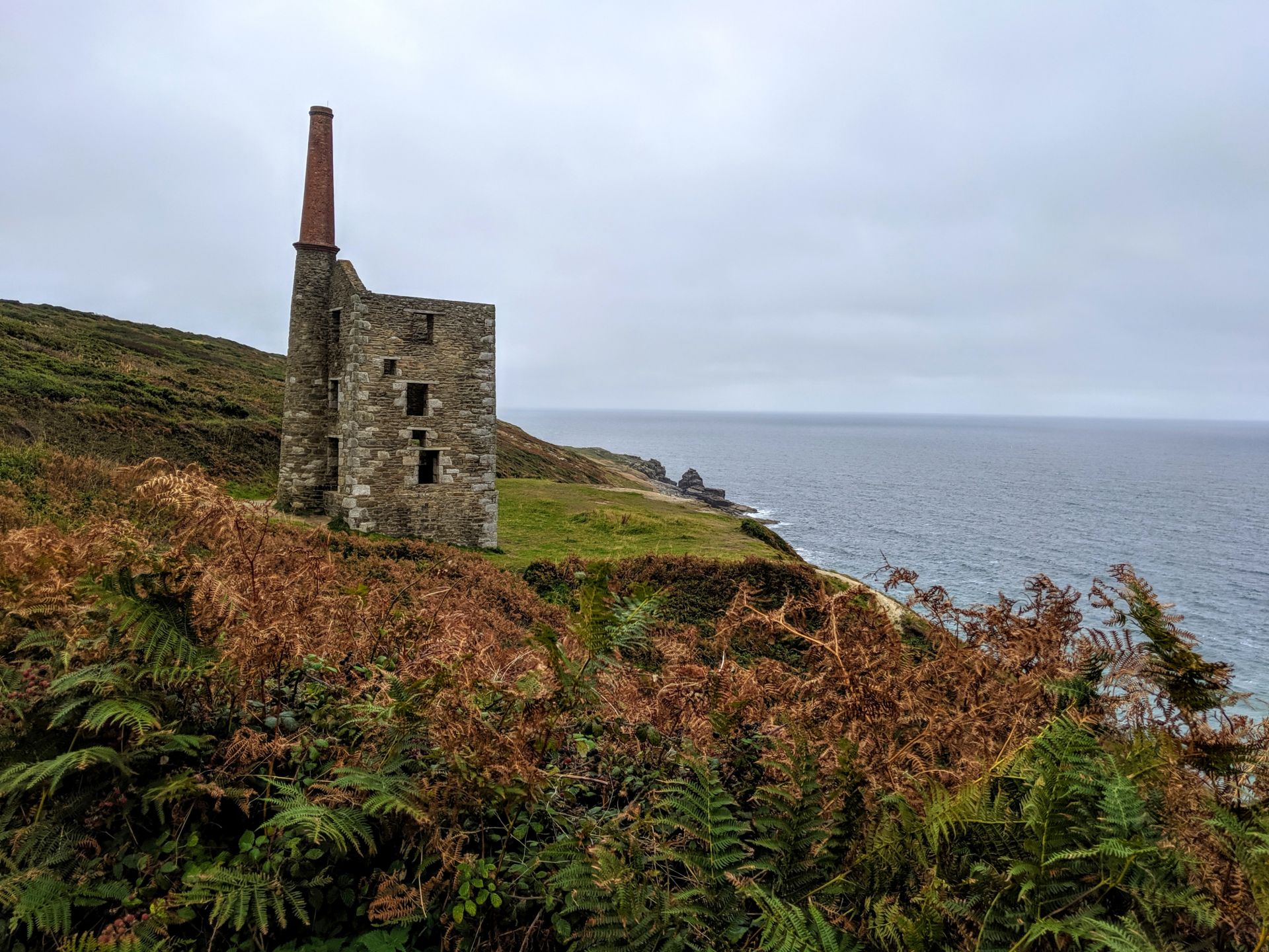
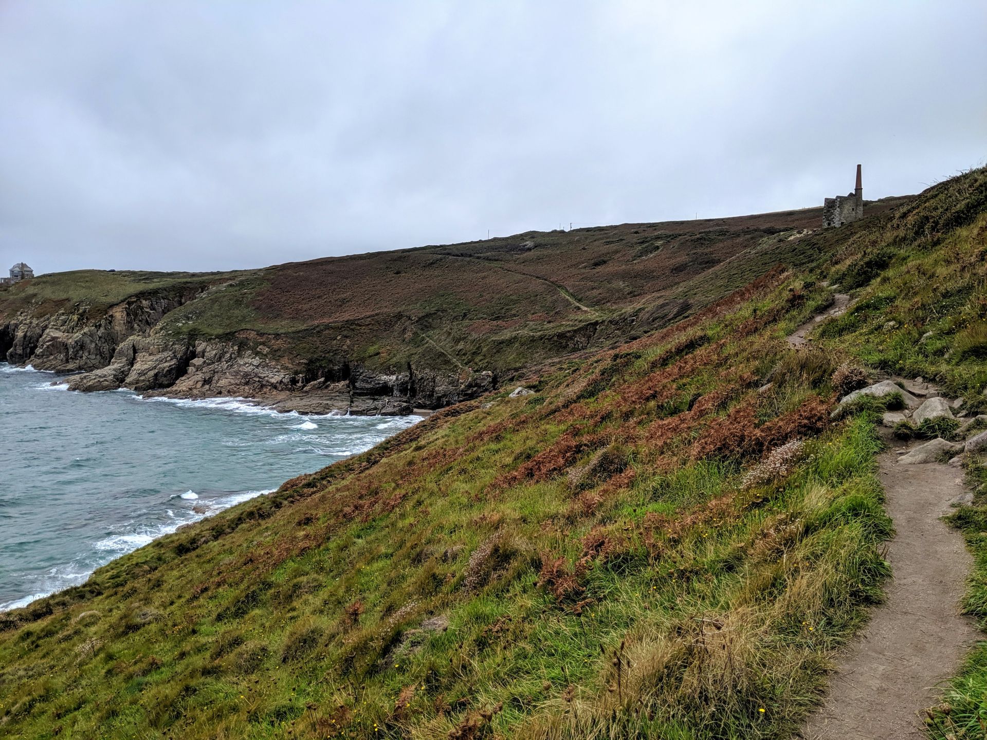
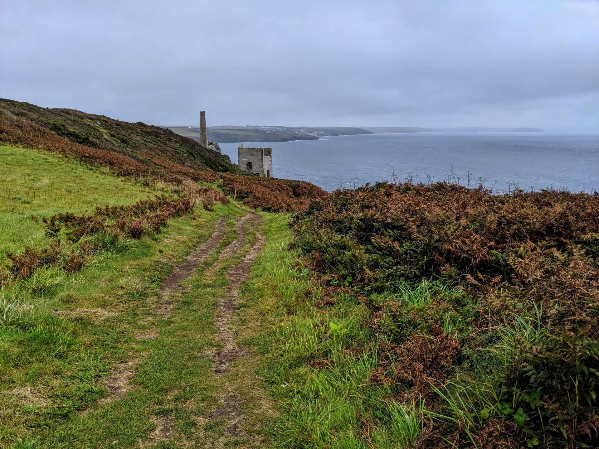
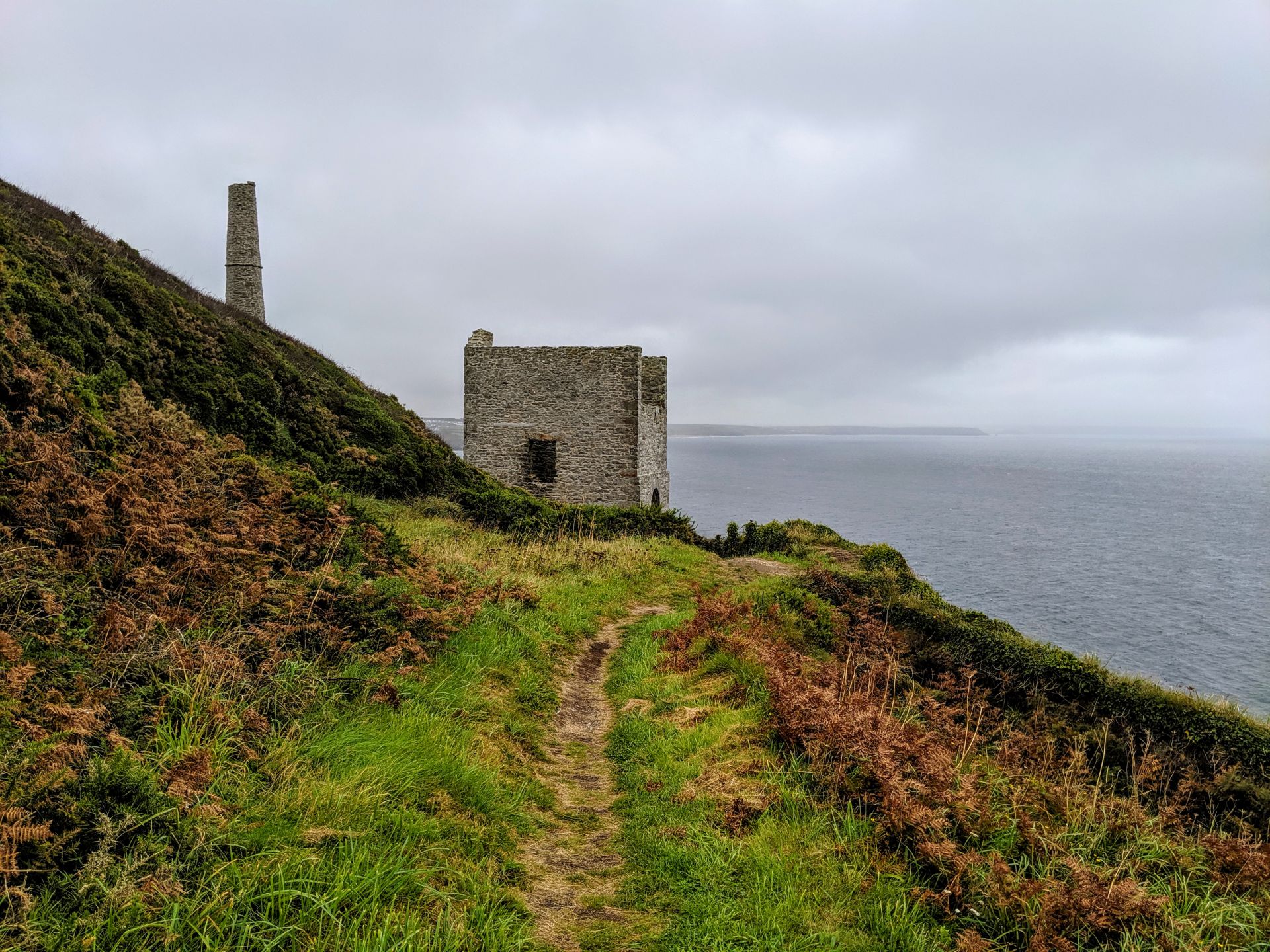
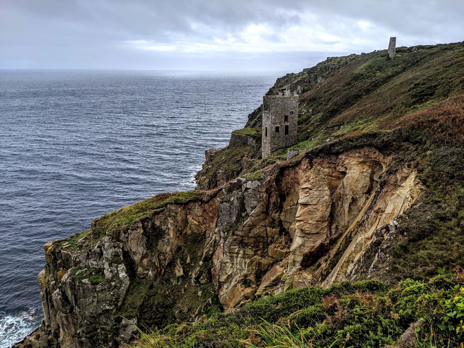
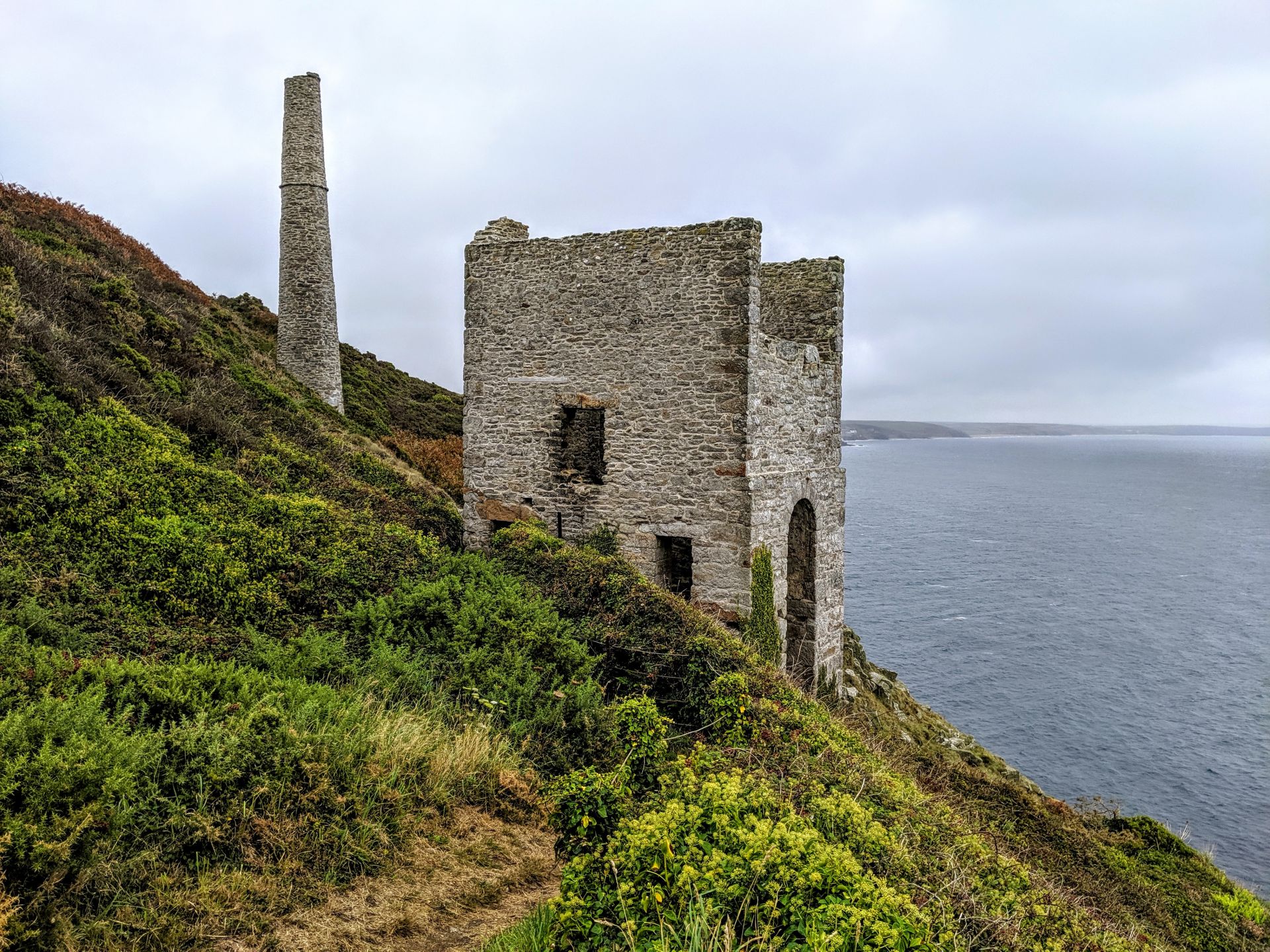
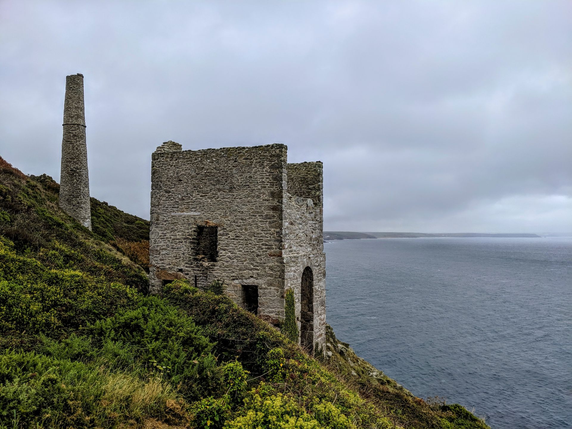
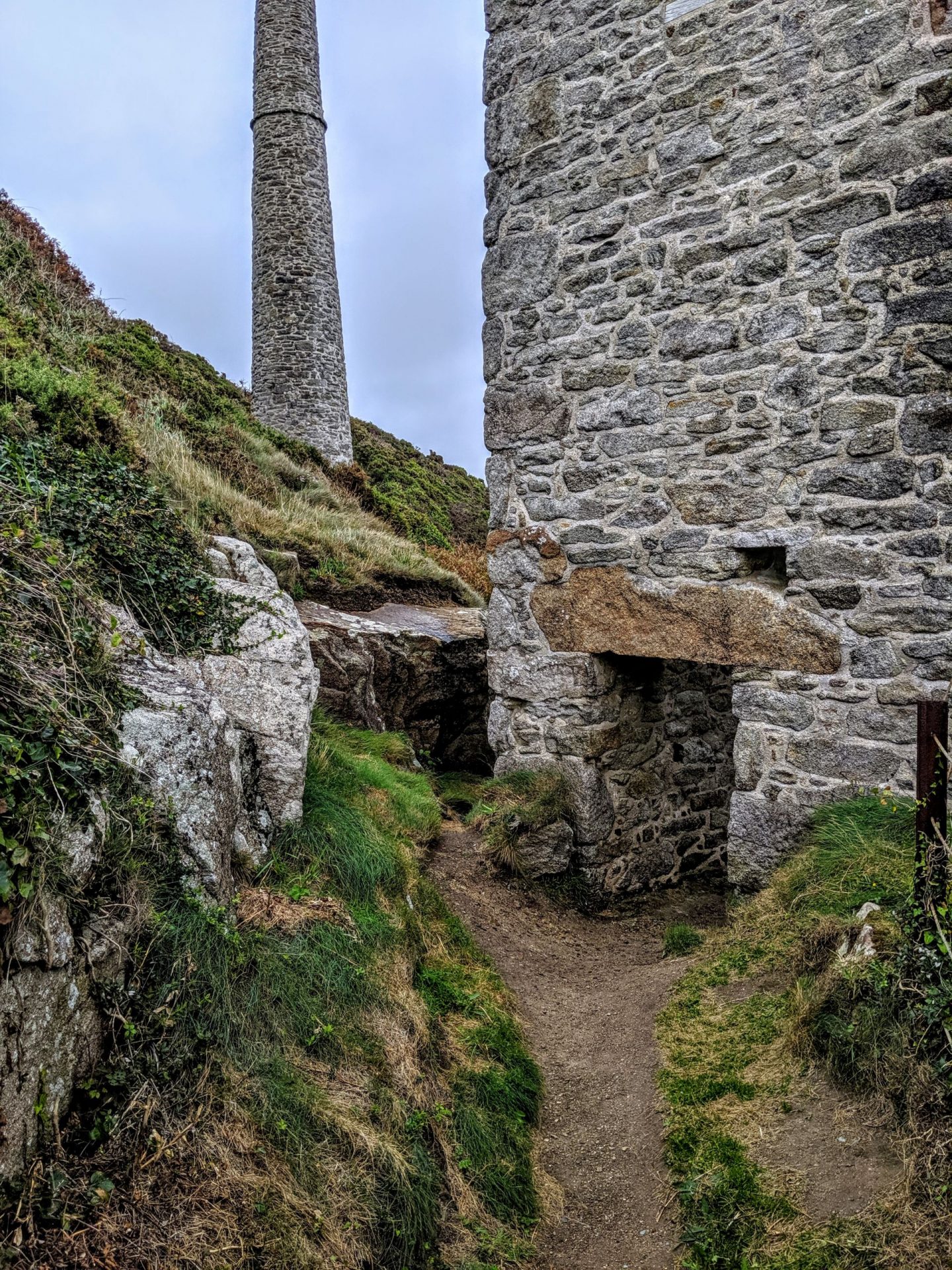
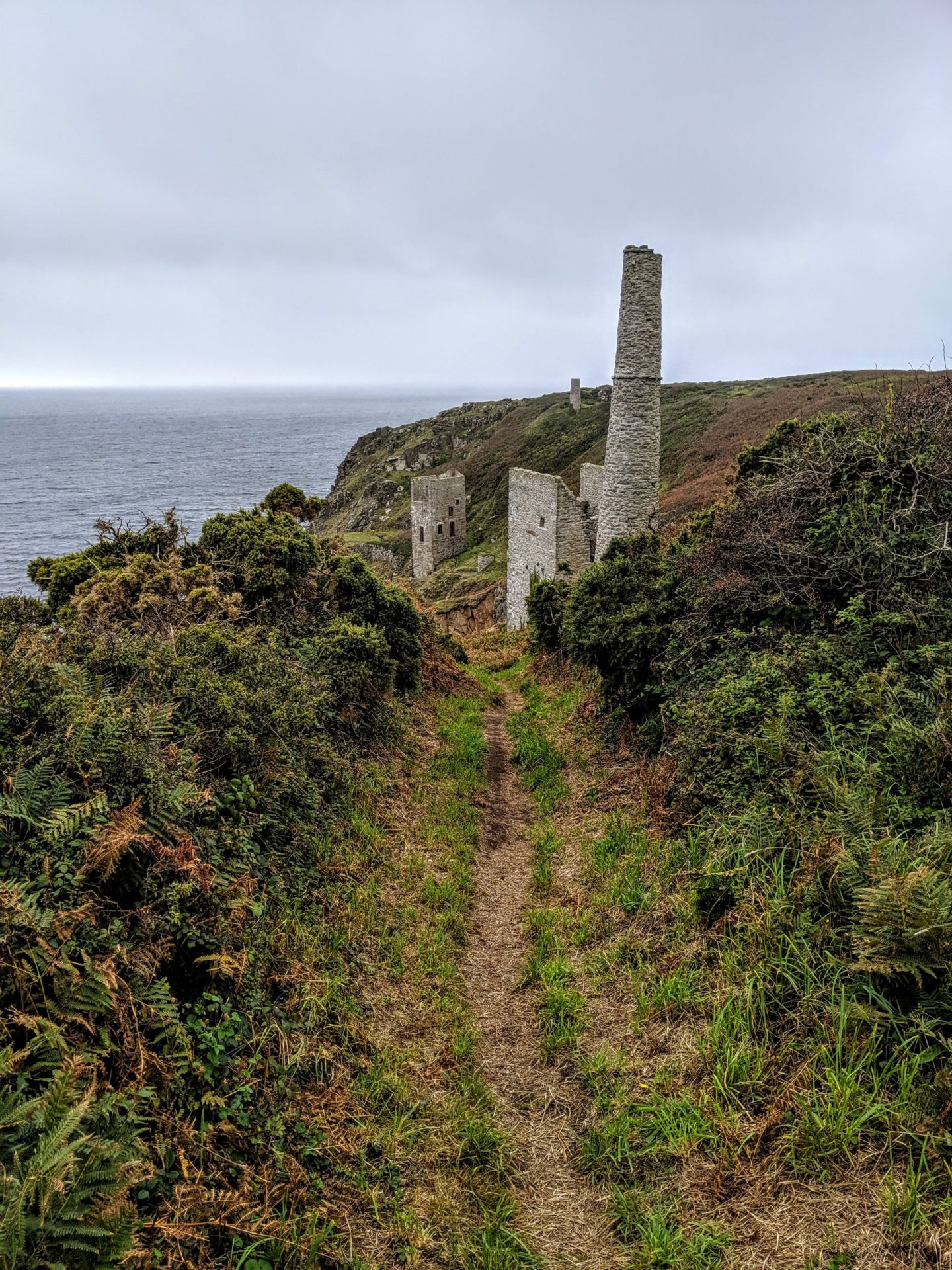
Despite its name Wheal Prosper was not a hugely succesful mine, working for only six years between 1860-1866. It was intended to mine tin and copper from the Porthcew Lode
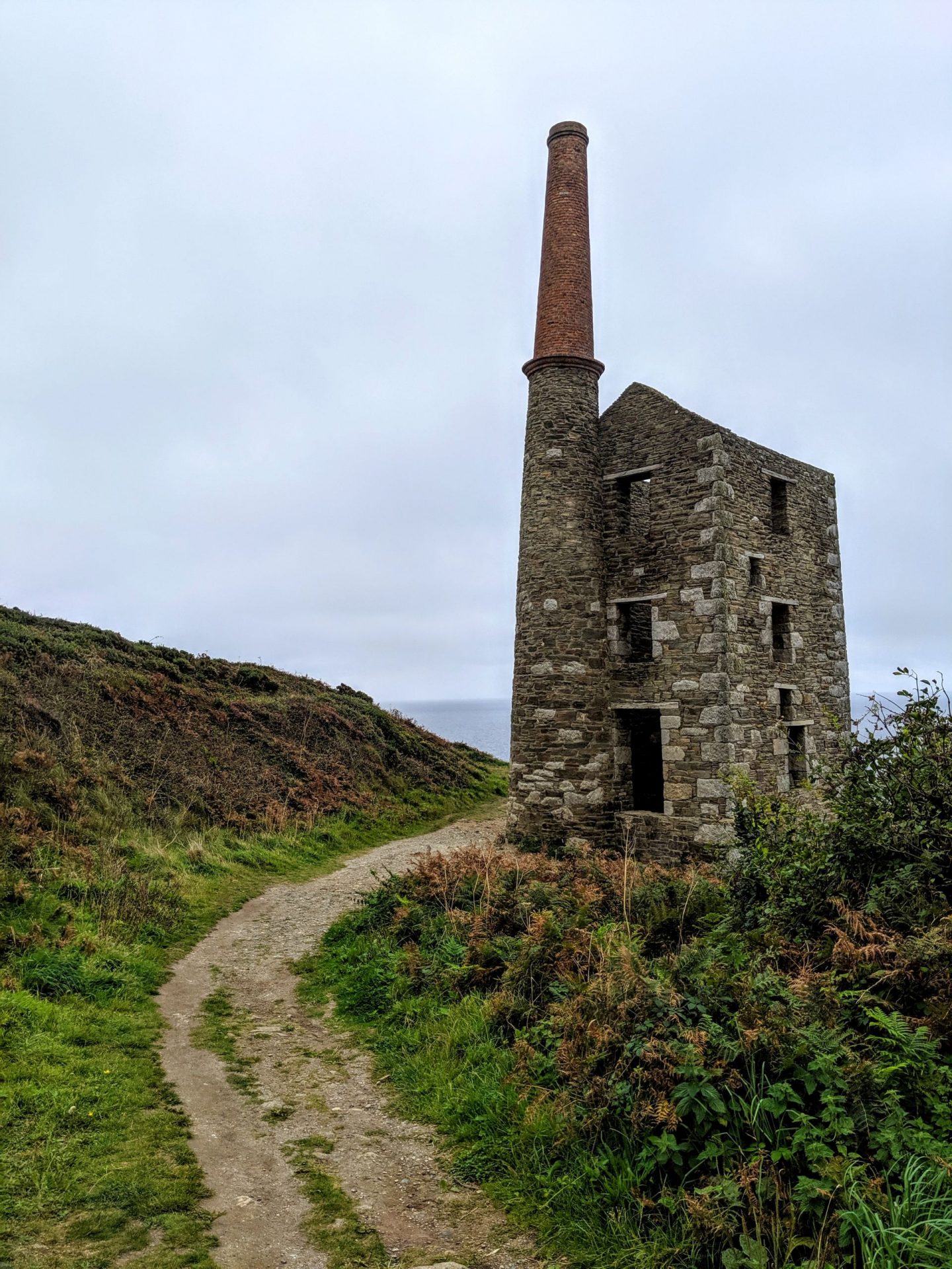
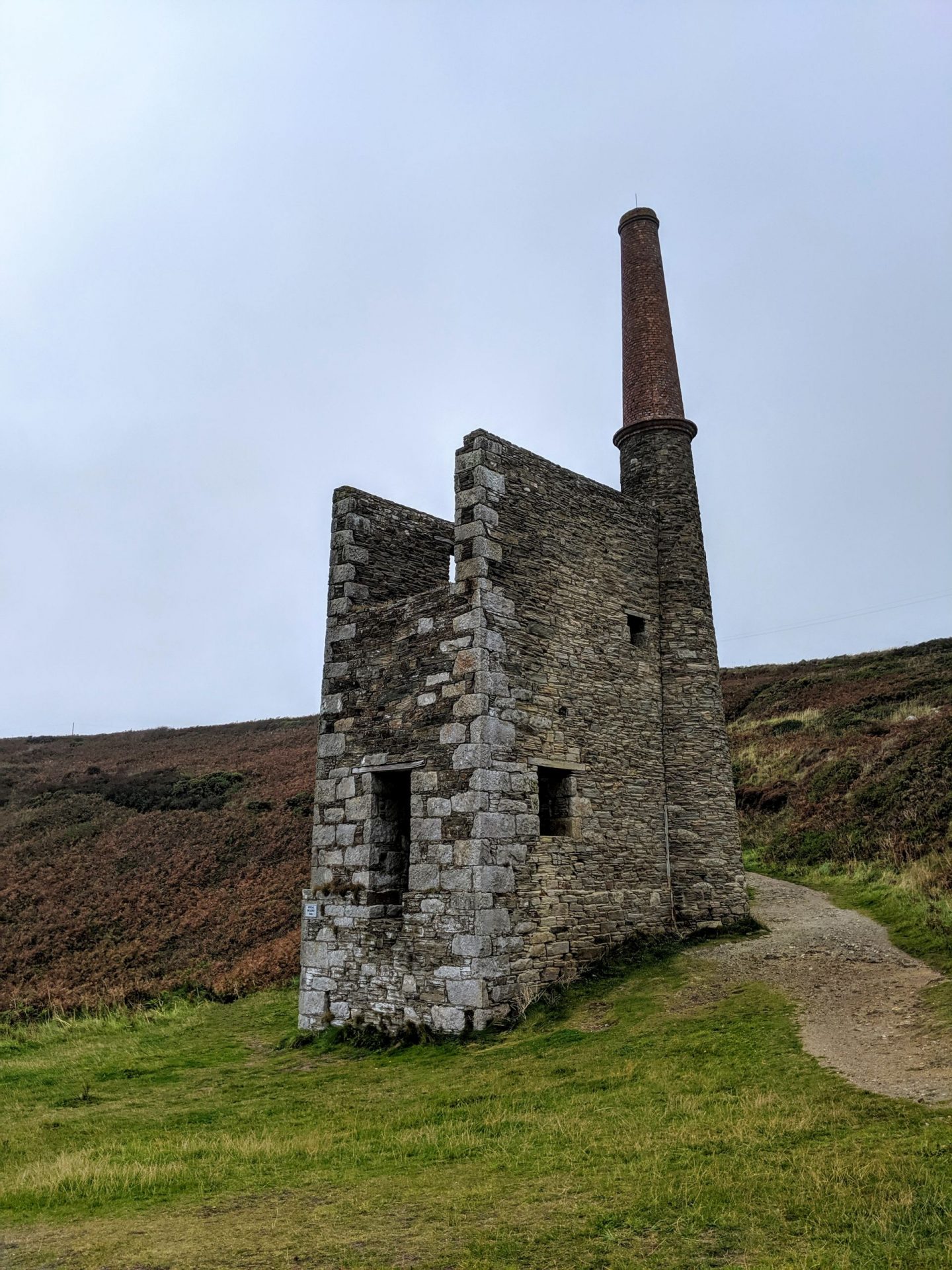
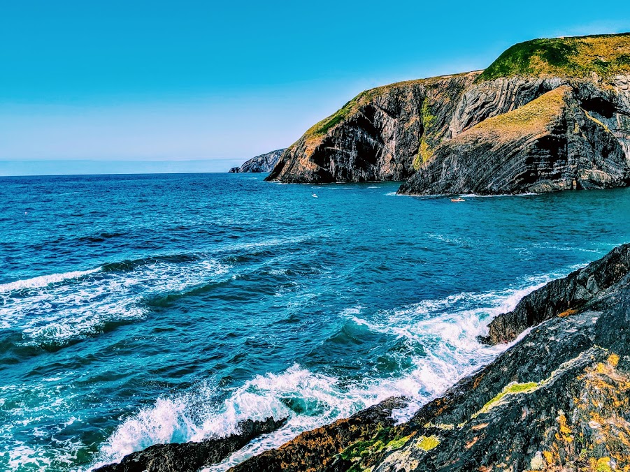
The engine house is dramatically situated on the cliff tops of Rinsey over-looking Rinsey Cove and Porthcew Beach 3 miles from Portleven. Built of granite and killas slate taken from the local clifftops this fine engine house was home to a 30 inch pump.
There were 3 shafts most notable of which is the now capped Michell’s Whim shaft measuring an estimated 420ft in depth. The site has been under the stewardship of the National Trust since 1969.
Highlights from the official website for the Southwest Coast Path
- Wildflowers: especially in June when there are swathes of purple heather and banks of foxgloves edging the cliffs.
- The ruins of Wheal Prosper tin mining engine house and chimney above Porthcew: sited here due to the change from granite to slate, the mine was never particularly prosperous. It is now owned by the National Trust.
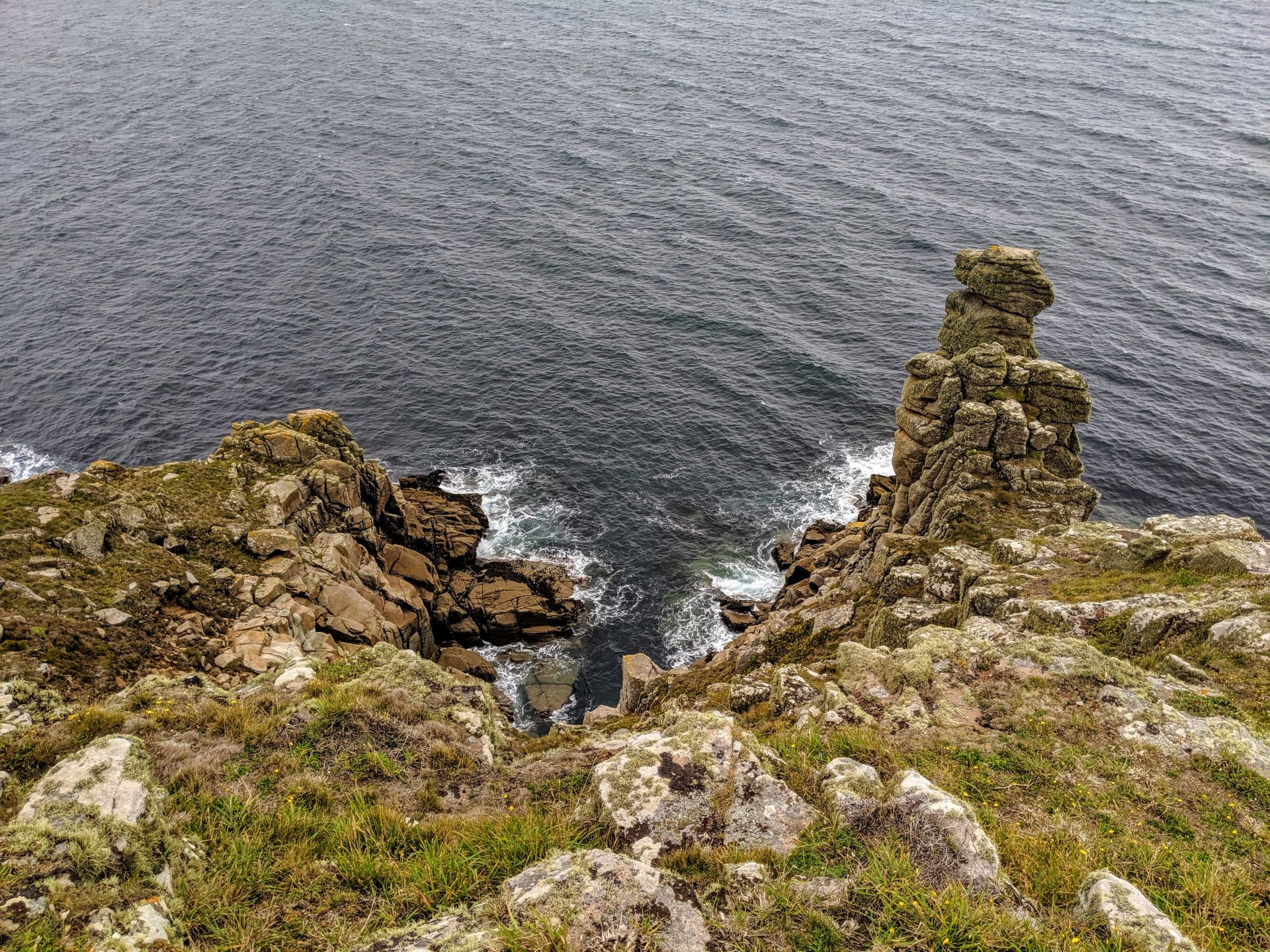
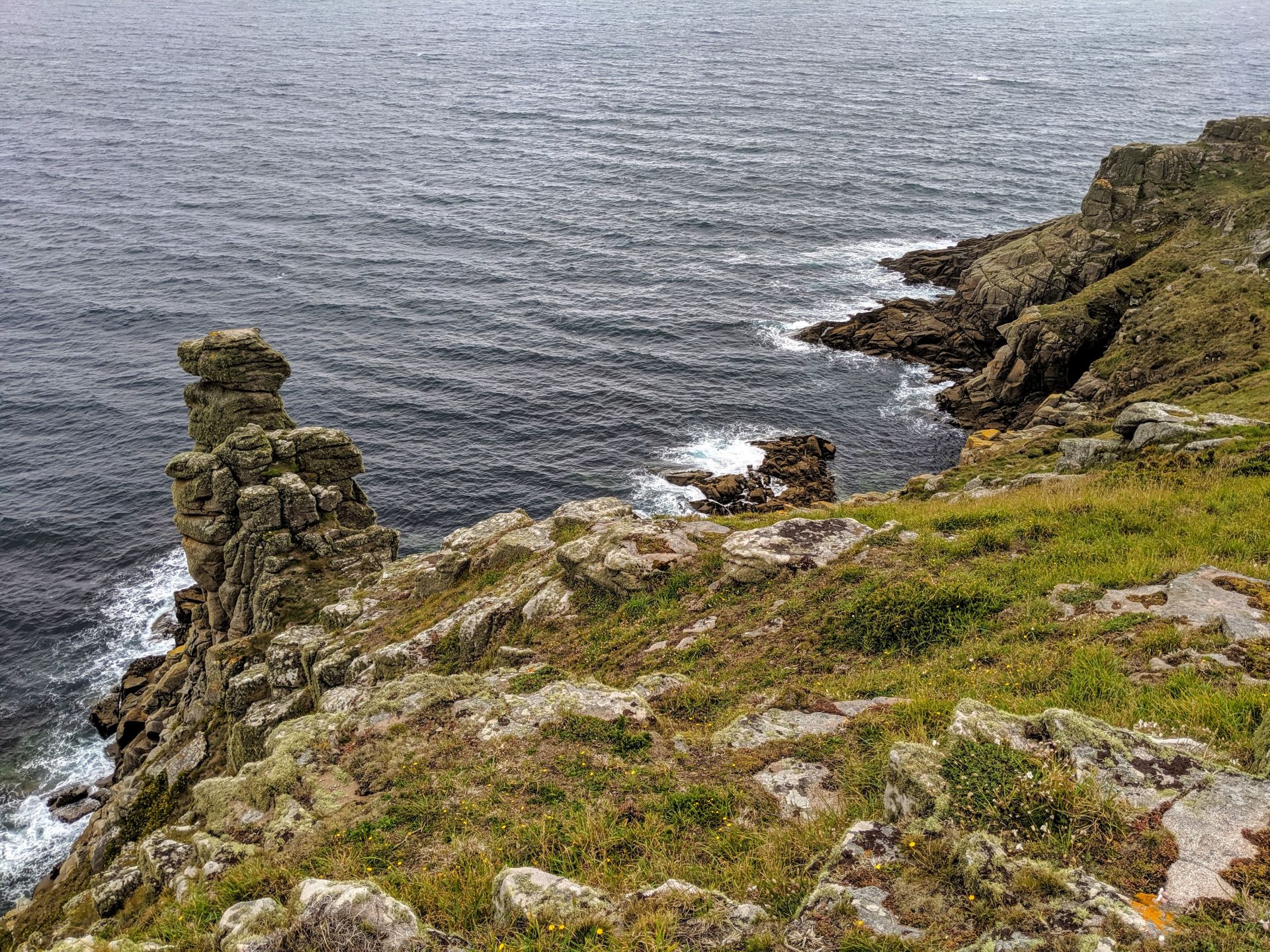
- The rock formation known as the Camel at Rinsey.
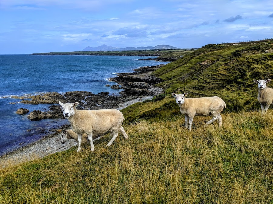
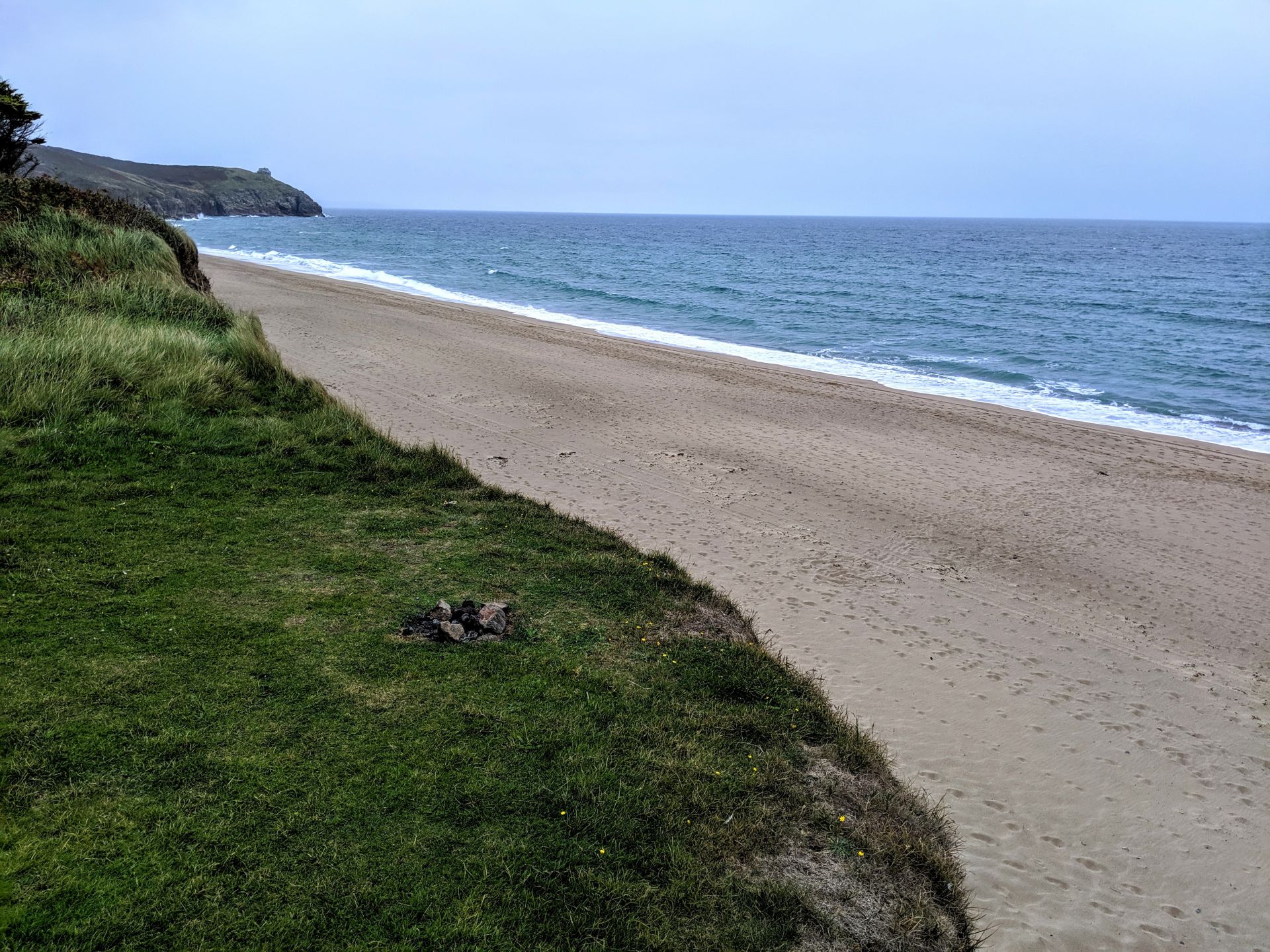
- Wonderful views from Rinsey Head and Trewavas Head towards The Lizard and Mounts Bay behind.
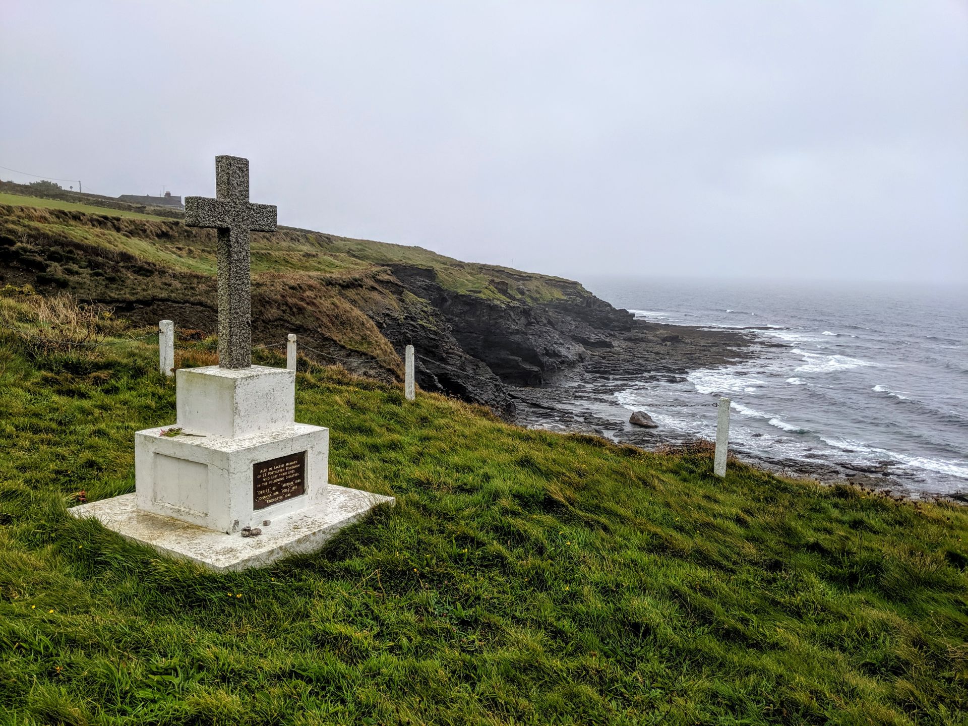
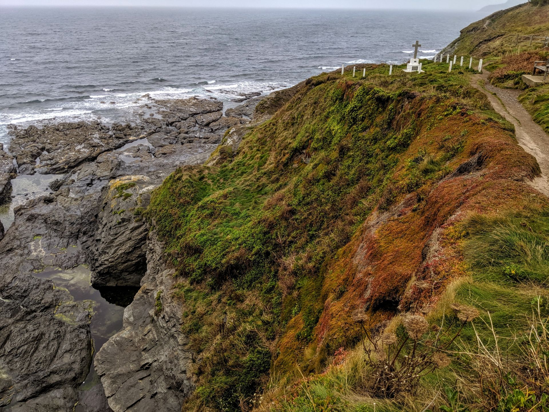
- The monument just beyond Tregear Point. This monument is to the many seamen who died in wrecks along this stretch of coast. They were buried on the cliffs until the passing of the Grylls Act in 1808, which meant that burials took place in nearby consecrated ground.
- The Glacial Erratic known as The Giant’s Rock, Porthleven, seen at low tide. Also known as the Moonstone, this rock is garnetiferous gneiss and of a type that cannot be found anywhere else in the United Kingdom. One theory of how it got here is that it floated on an iceberg from Northern Europe during the last Ice Age.

Outdoor skin now, this time last year I spent so much time feeling like I was freezing to death, always an indoor girl the thought of ever being outside in the rain was enough to chill me to the born. Fast forward 12 months and being inside is too warm for me!
Eventually I arrived at Porthleven a little soggy but in great spirits and in need of a hot drink, Porthleven is the most southerly working port in the United Kingdom and boasts a picturesque harbour, with some interesting old buildings. The harbour faces south west into the prevailing wind and consequently the harbour construction and sea walls are massive
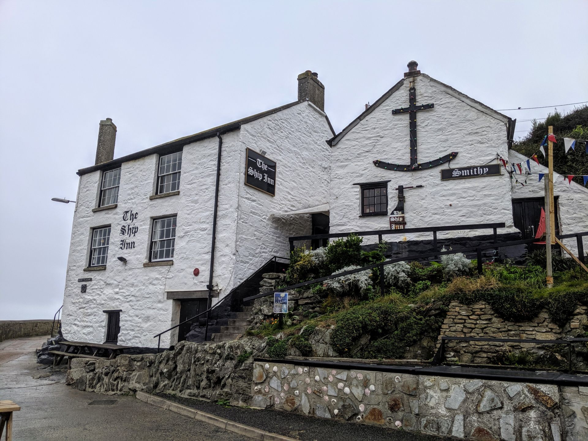
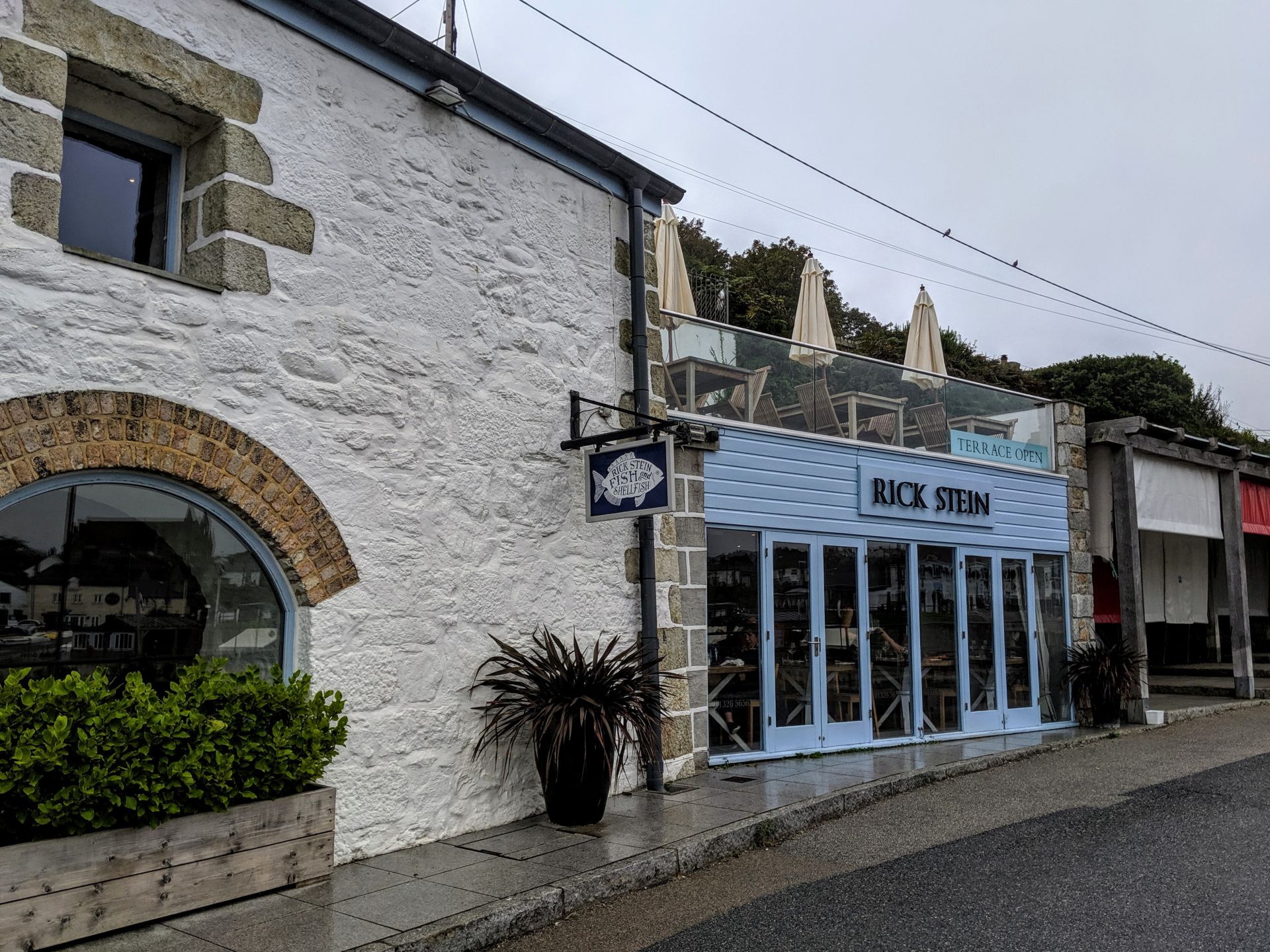
Porthleven ended up being one of my favourite villages along the coastal path, mainly because it wasn’t overrun with tourists and still felt like a village rather then a trendy hotspot. The area has been inhabited for over 1000 years but the present village started with the construction of the harbour in 1811. It is ideal as a base for a walking holiday as it is situated on the Coastal Path. Many of Cornwall’s attractions and theme parks are within easy reach. The large village has a friendly atmosphere, several good restaurants and a pleasant beach. The village remains unspoilt by progress. It has always been popular with artists and crafts people and there are several shops displaying and selling local work.