“Anywhere is ‘within walking distance’. – Anonymous
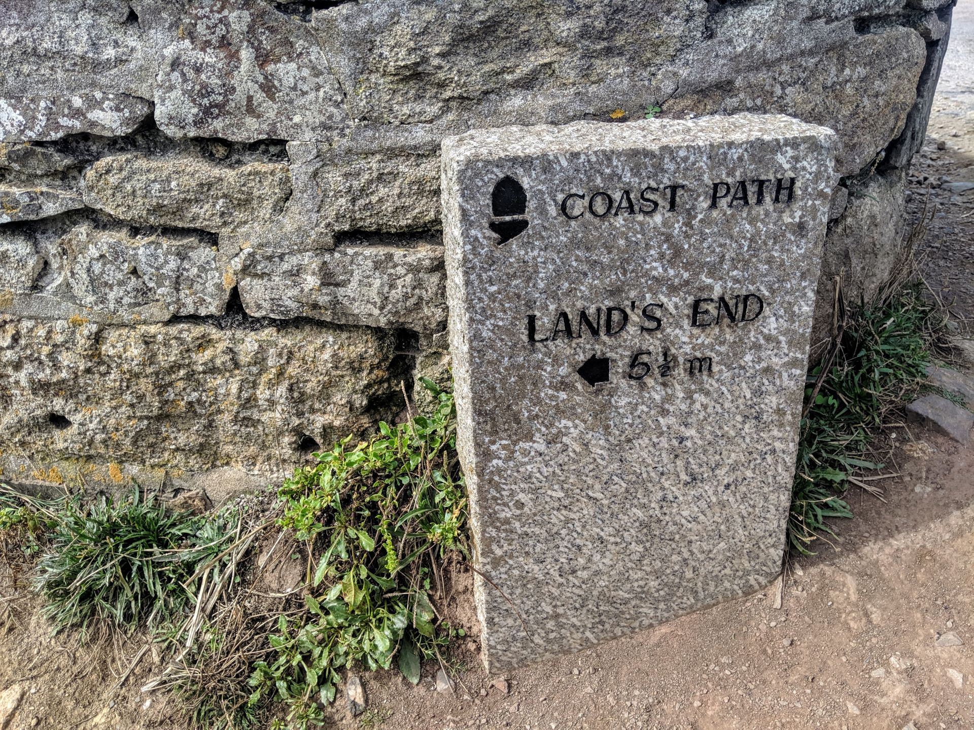
Here we are, part two of my Pendeen to Sennon Cove walk along the Southwest Coast Path, to catch up, check out my last post.
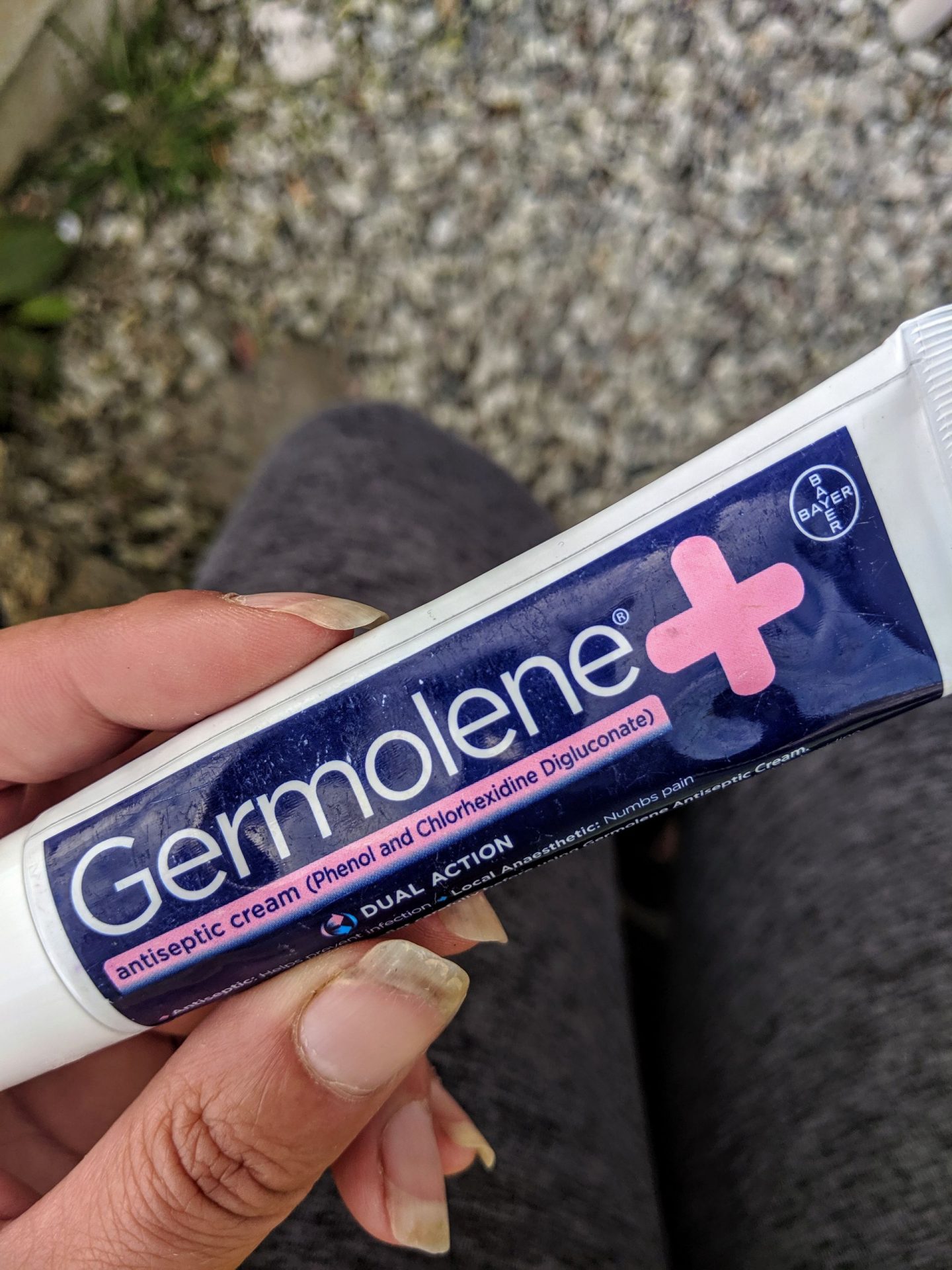
Find a friend that sends you away with Germolene, it will be a god send!
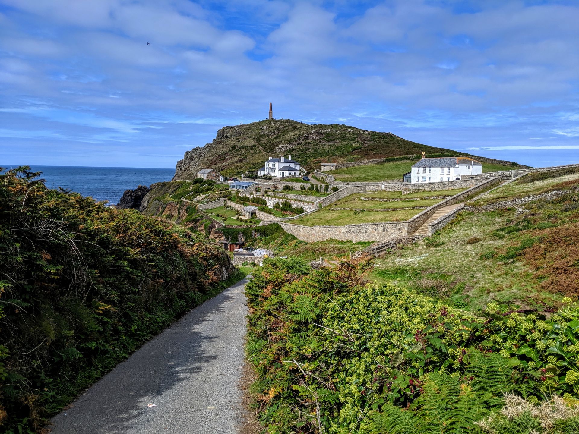
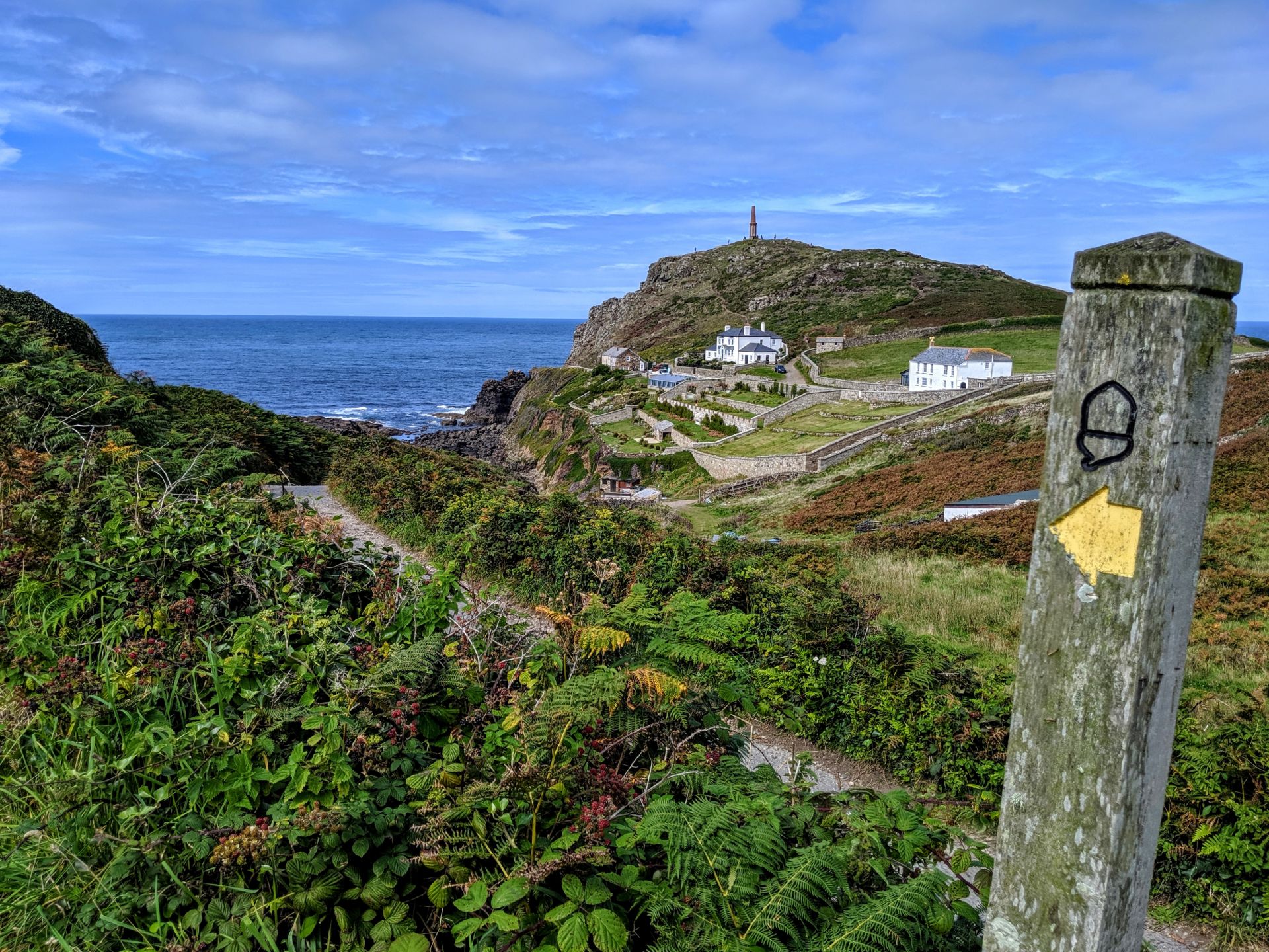
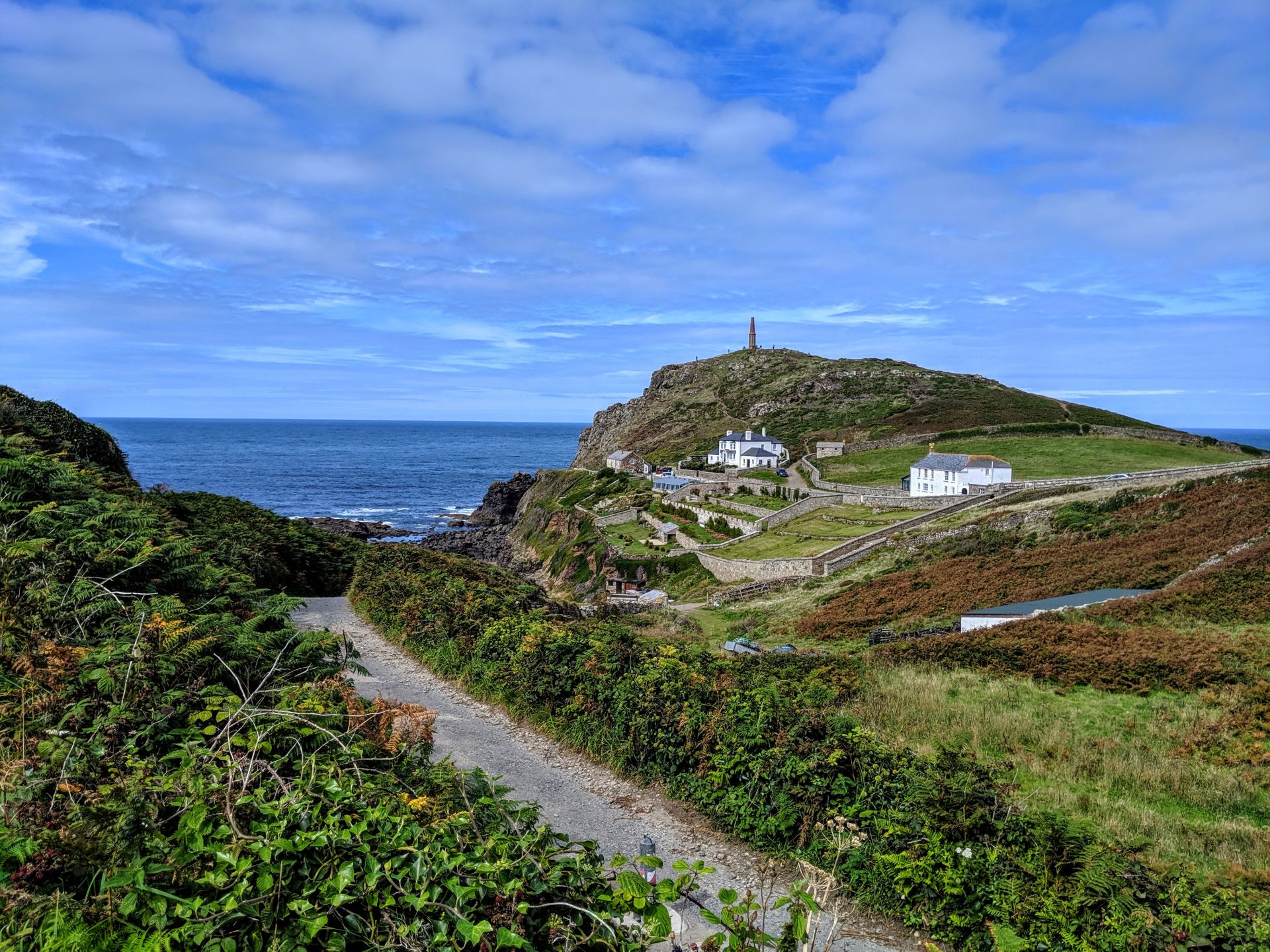
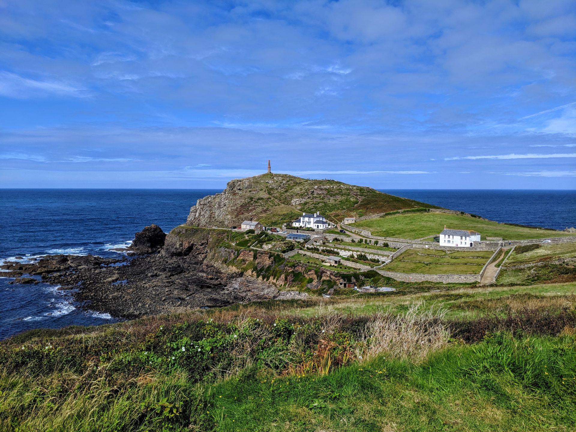
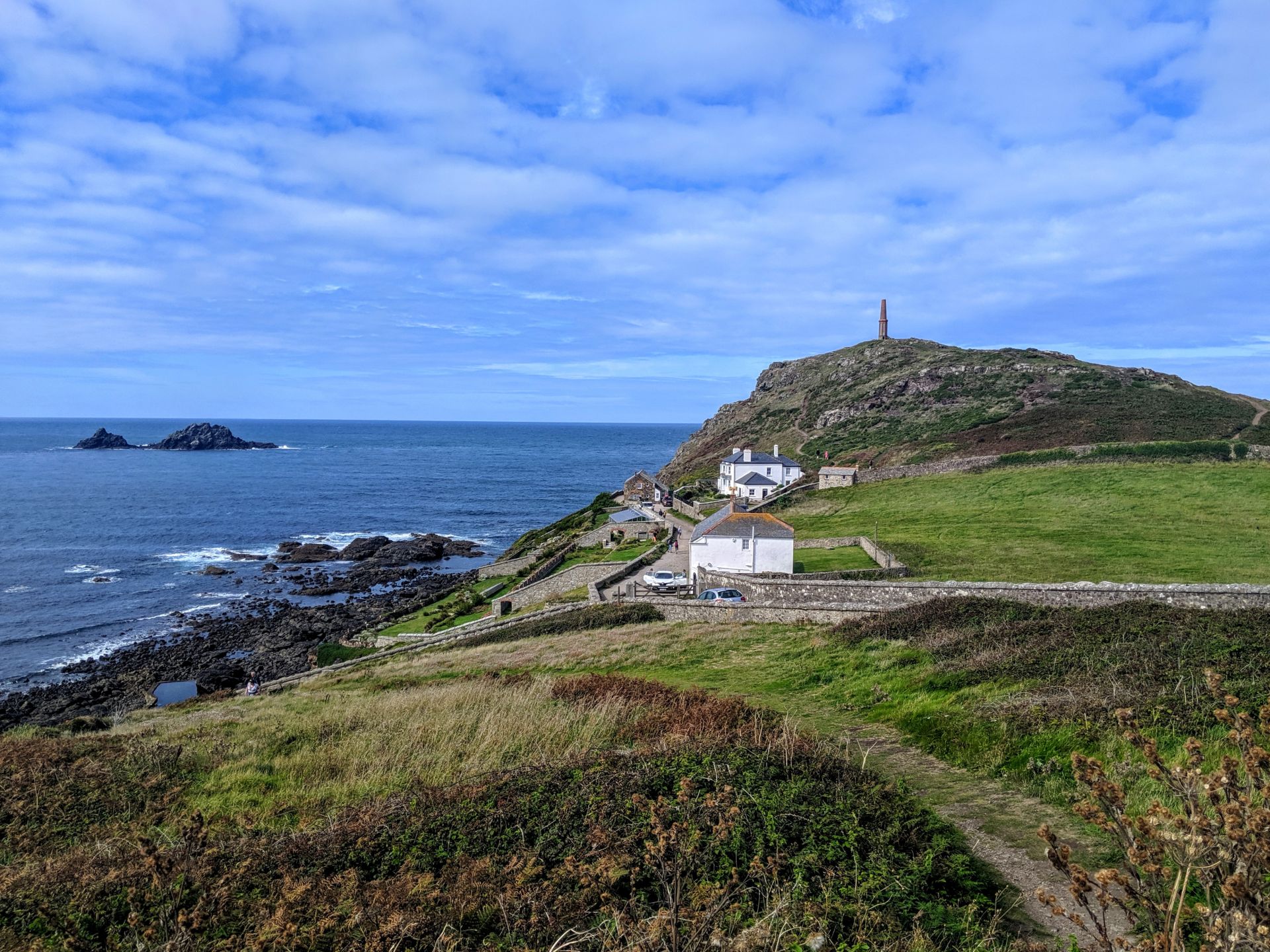
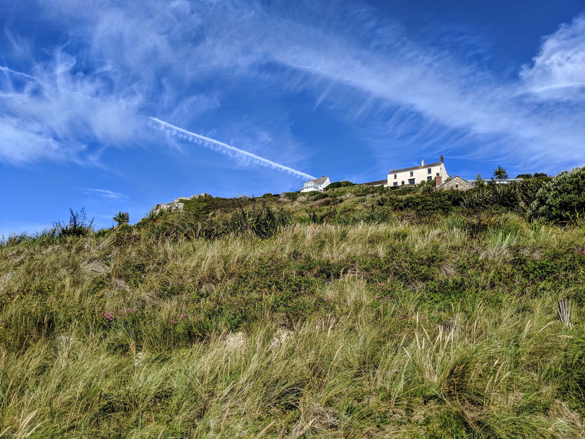
Cape Cornwall is one of only two capes in Britain. Often referred to as the connoisseur’s Land’s End. Cape Cornwall marks the spot where the Atlantic currents divide. It was bought by Heinz for the nation as part of their centenary celebrations, and presented to the National Trust in 1987. There is a distinctive plaque at the summit to mark this gift. The chimney stack dates back to 1894, when Cape Cornwall Mine was in operation, extracting tin and copper from out under the sea. Now, the site is part of the Tin Coast and Cornish Mining World Heritage Site.
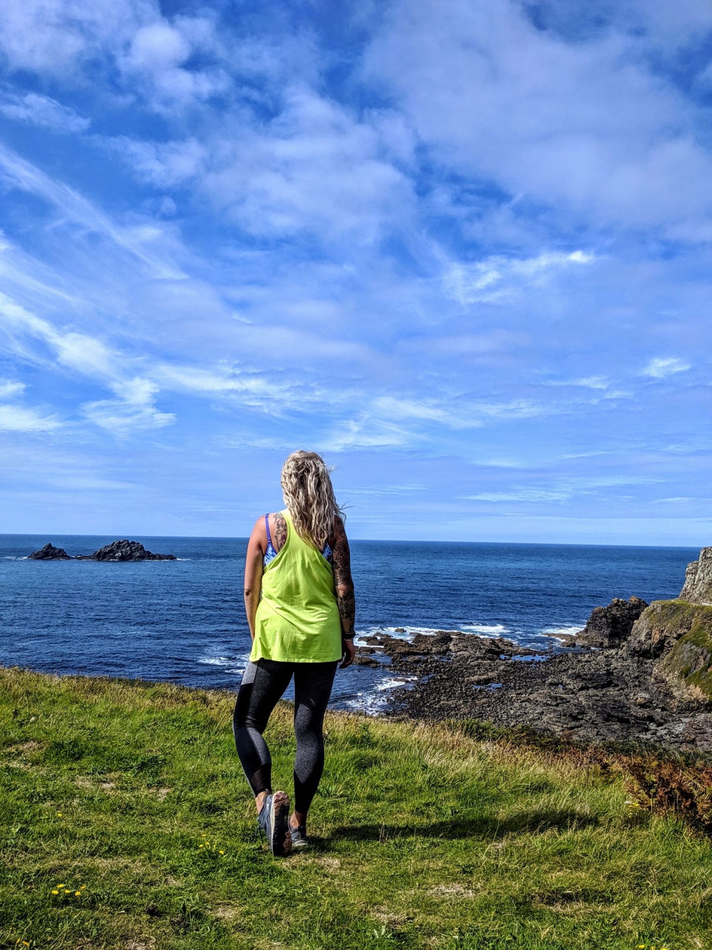
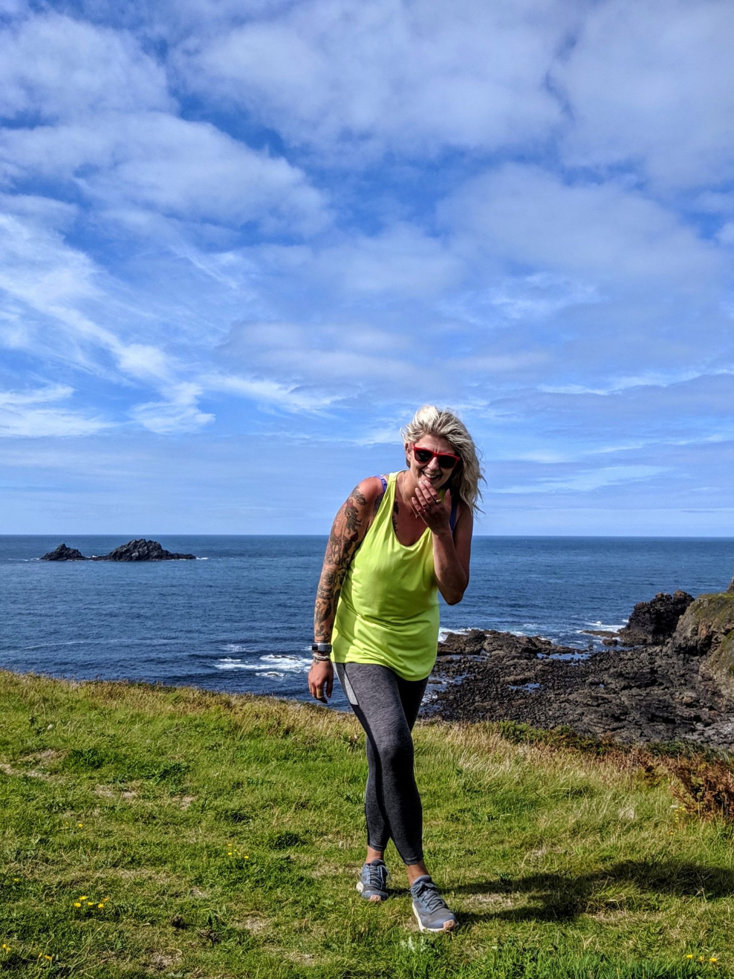
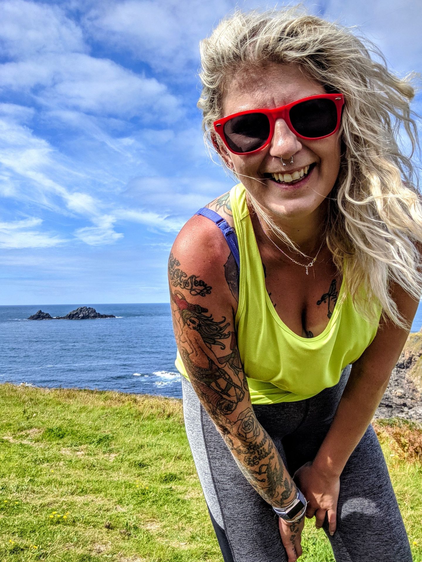
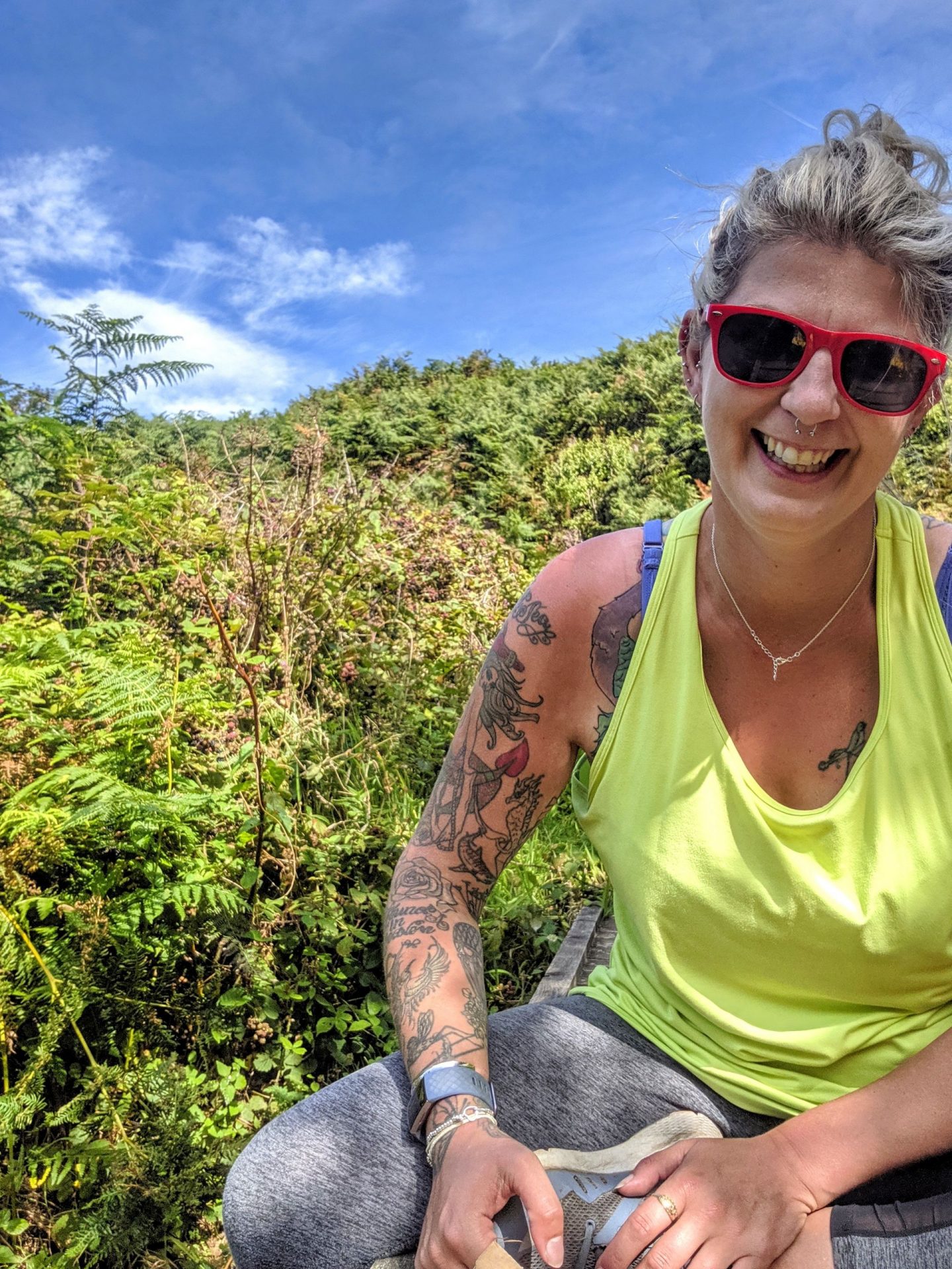
Sometimes or a lot of the time I am a dick that takes a lot of selfies!!
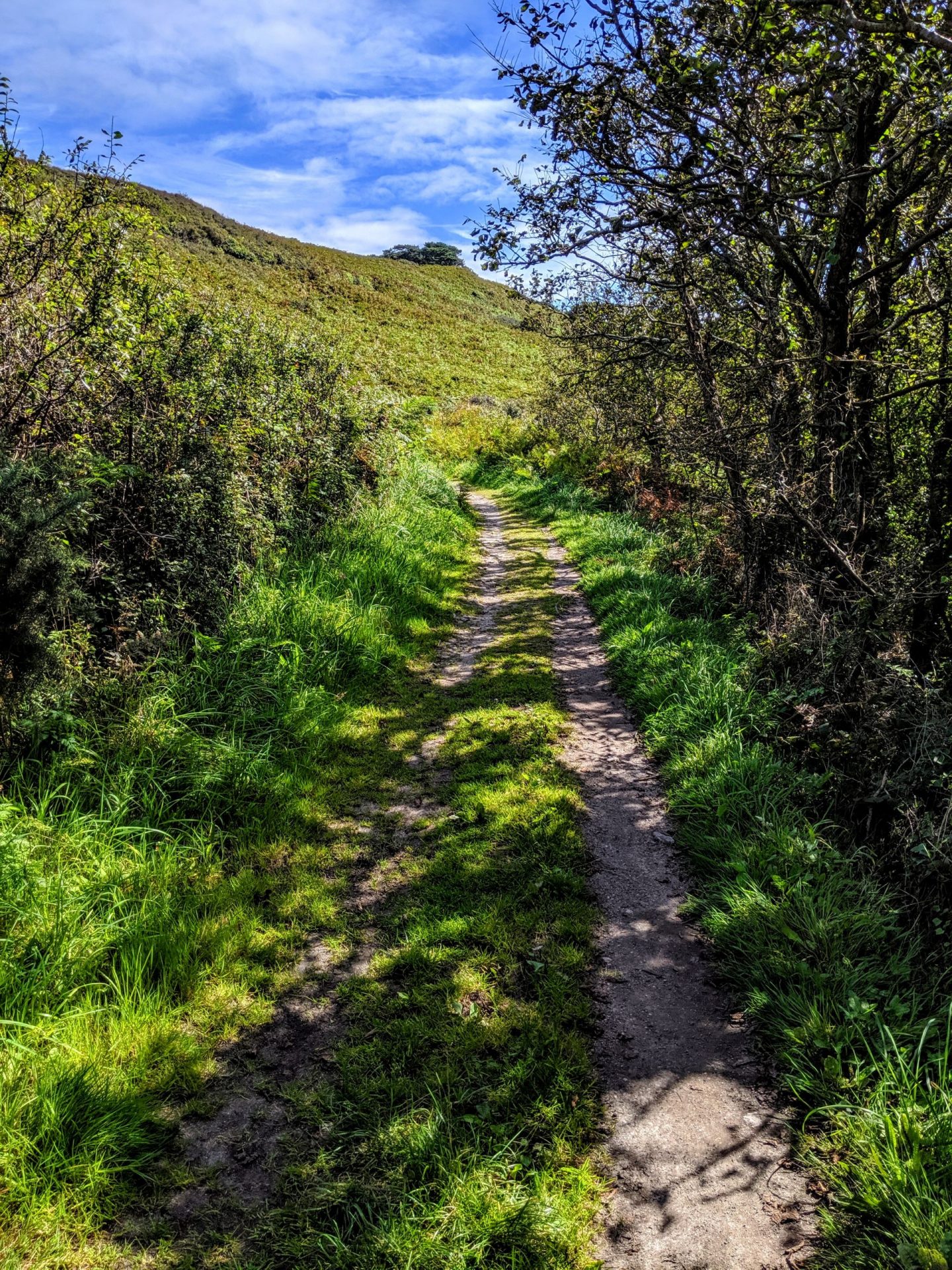
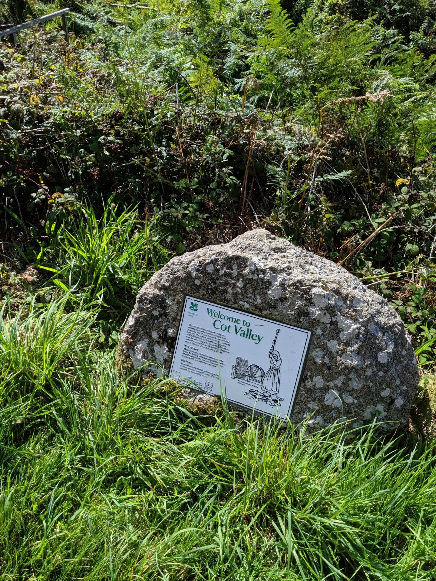
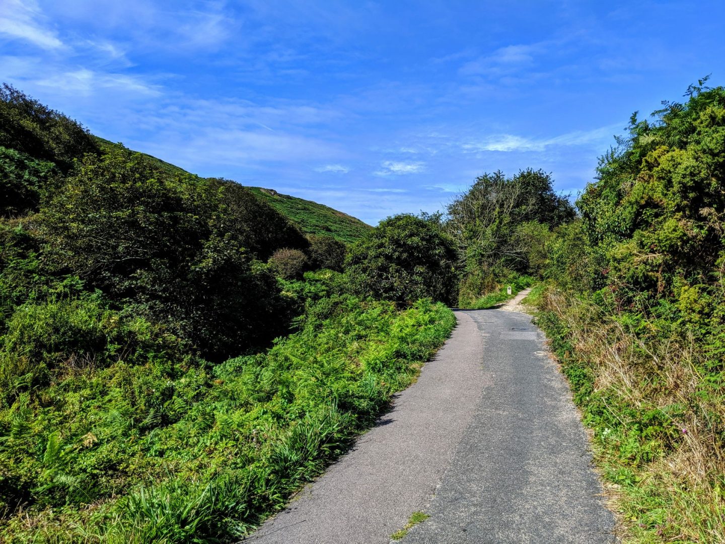
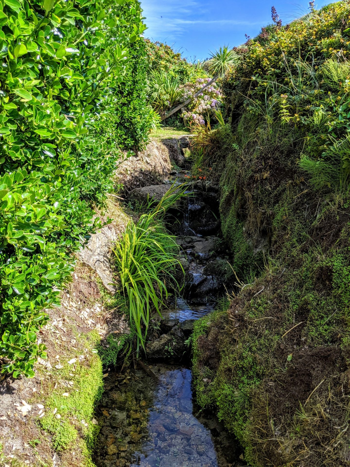
Cot Valley is a magical place that feels a world away from the hustle of modern life. This beautiful valley even has its own micro-climate. As you walk down towards the V of blue sea enclosed by the valley walls, a stream winds it way beside the road, through sub-tropical plants and past ancient tin workings, towards the sheltered waters of Porth Nanven Cove.
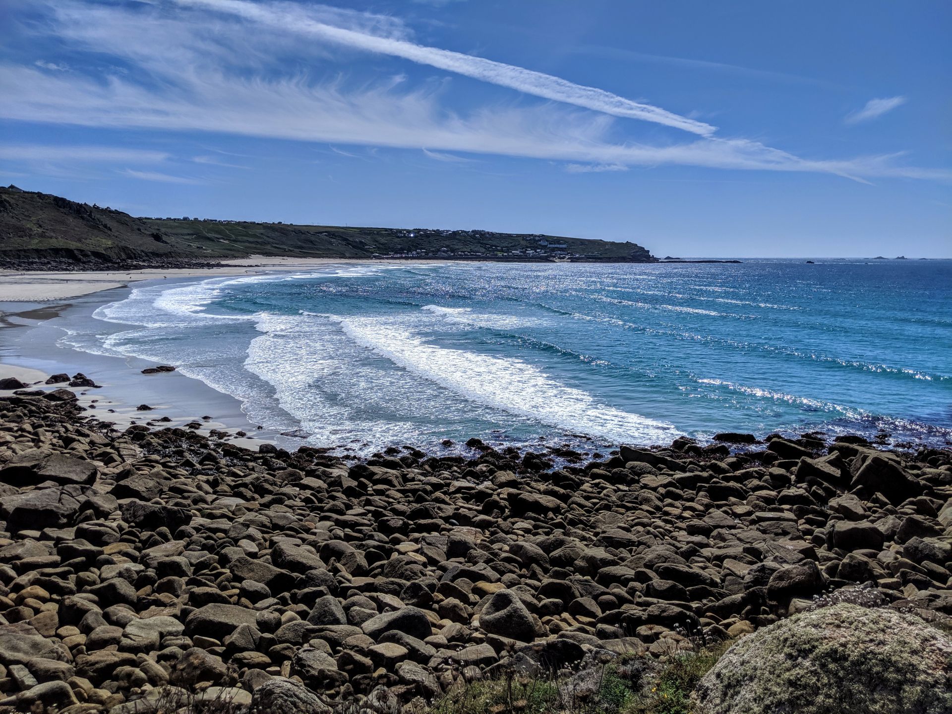
This unusual beach, roughly half a mile from the village of St Just on the Penwith peninsula and Cape Cornwall, holds a secret of its own. Porth Nanven is also known as the ‘Dinosaur Egg Beach’ because it is covered in ovoid boulders of all sizes. These rounded stones were of course formed by the relentless power of the sea. By years of pounding in the rough Atlantic waters but this process did not occur yesterday. These stones were smoothed by a prehistoric ocean around the same time that the first modern humans were making their way out of Africa to Europe, some 120,000 years ago.
Porth Nanven beach has in fact what is known as a ‘raised beach’ formed sometime since the last ice age. Also known as a ‘marine terrace’, this raised beach was originally formed during the last ‘inter-glacial highstand’, a period of raised sea levels caused by melting of the ice sheets.
Then, when those extreme sea levels fell again, the beach was left high and dry. During rough seas and very high spring tides the waves can sometimes reach the ancient seabed and wash down some of the rounded boulders on to the modern beach.
This ancient period of interglacial change has become known as the Eemian and recent reports of global warming and melting ice caps have suggested that this extreme tidal variation is something we may come to recognise in the future. . .
I can’t tell you how hot it was this day, by about 2pm I was sunned out! I took shade on a bridge under a tree, I wasn’t alone for long! The most amazing 60 year old woman stopped and sat with me, we chatted about our lives, loves and adventures. As she got up to leave she told me to remember “we paddle our own canoes” a phase I am now obsessed with!
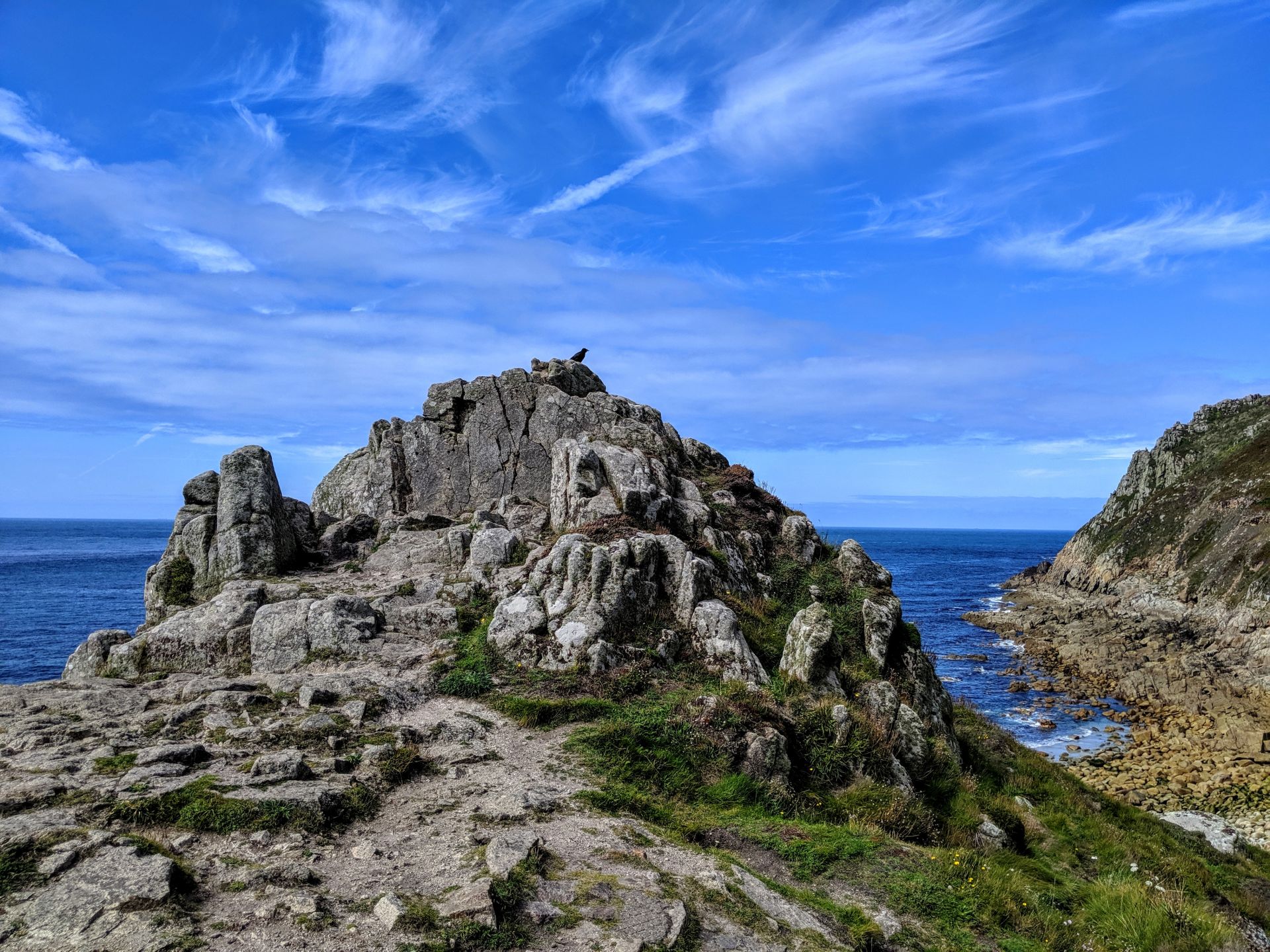
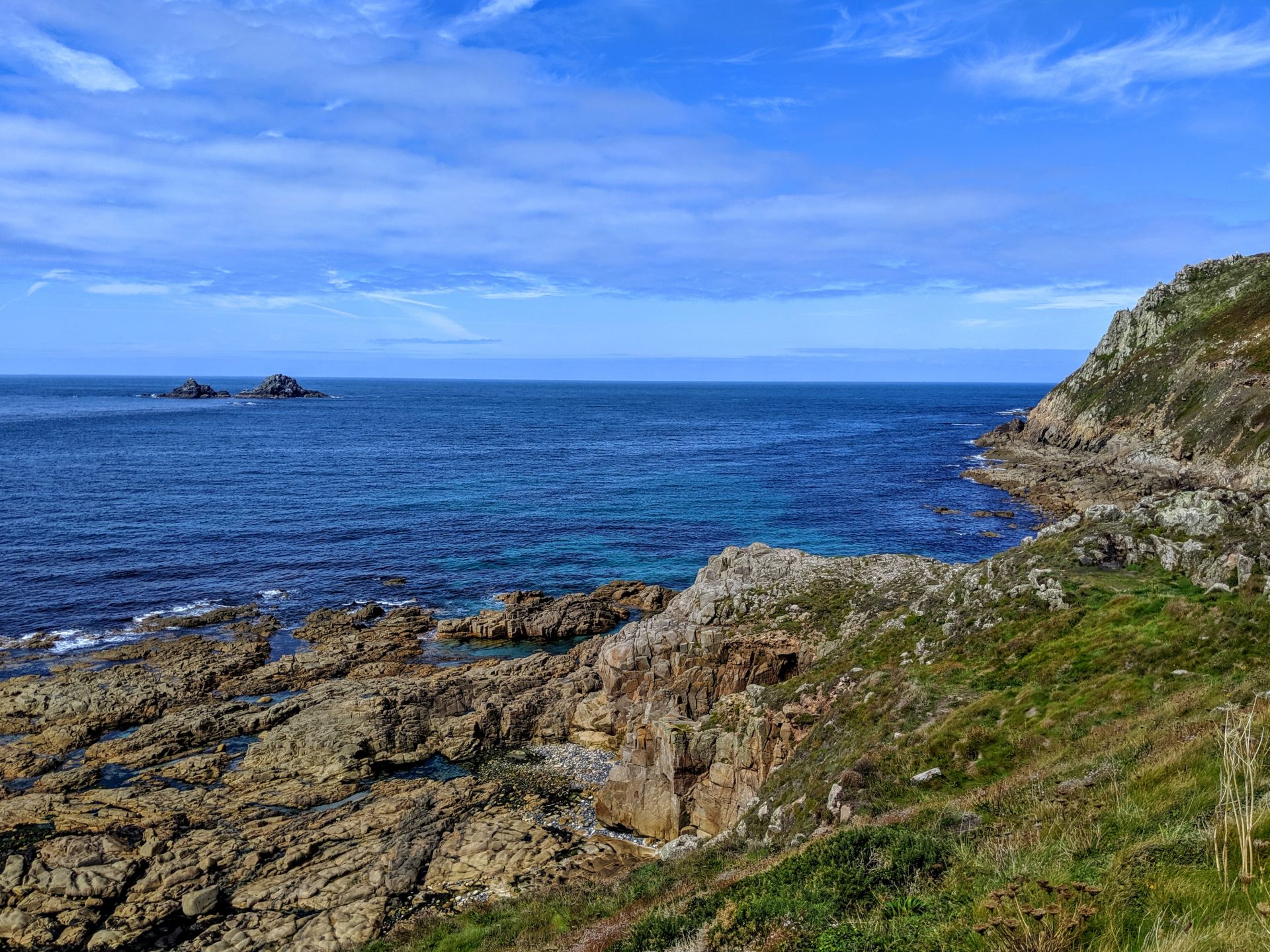
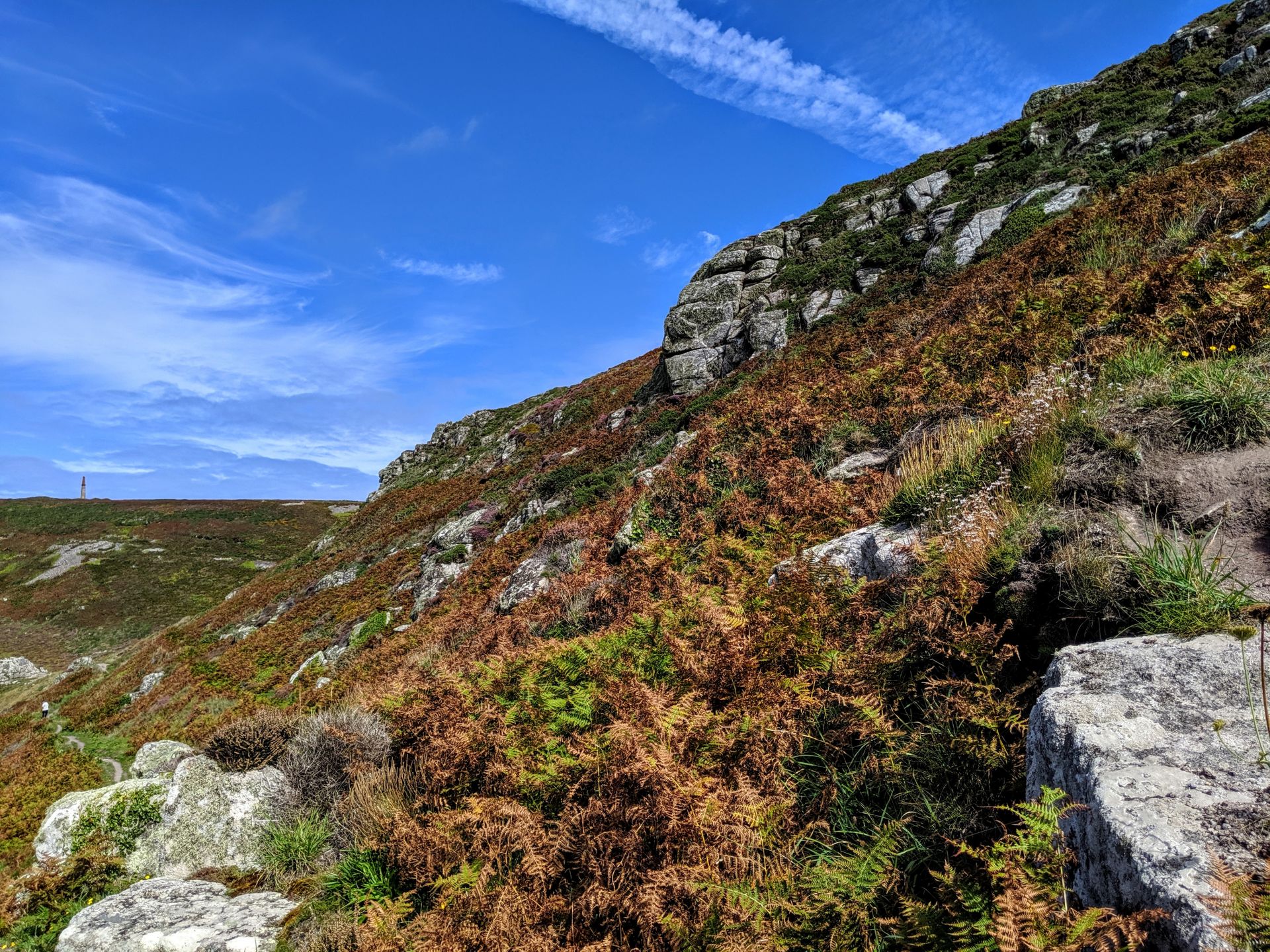
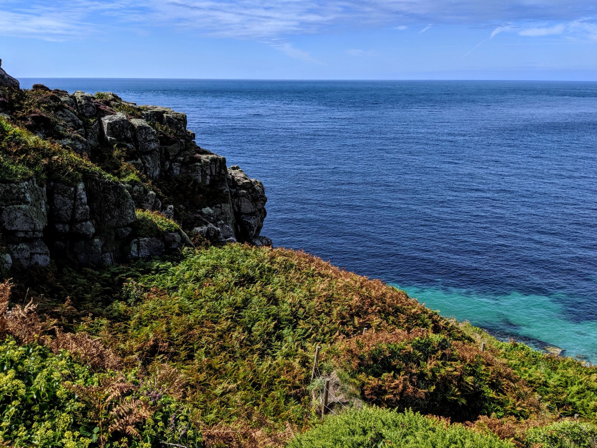
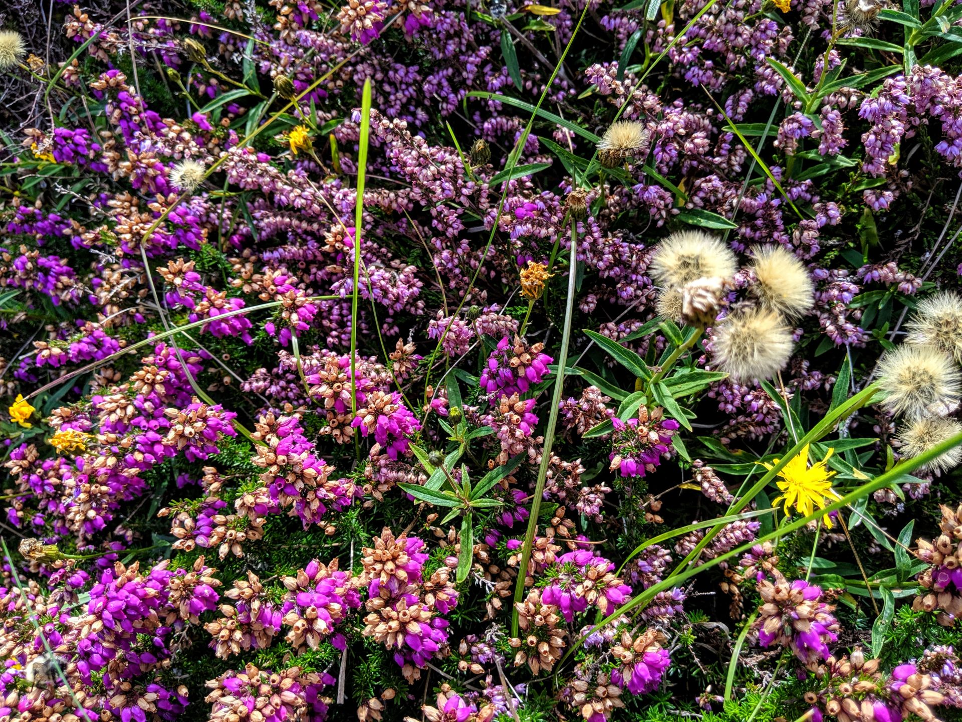
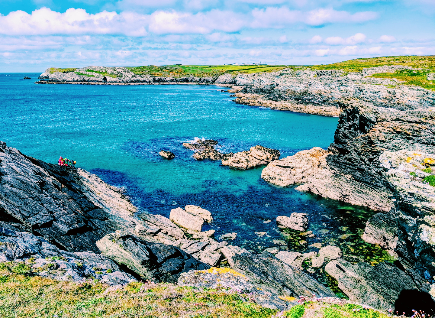
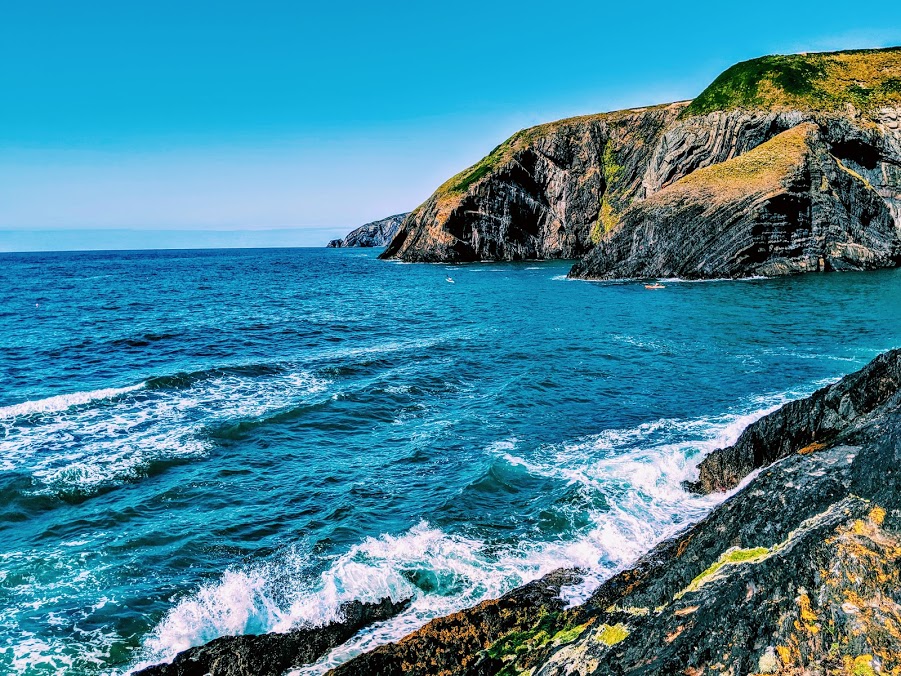
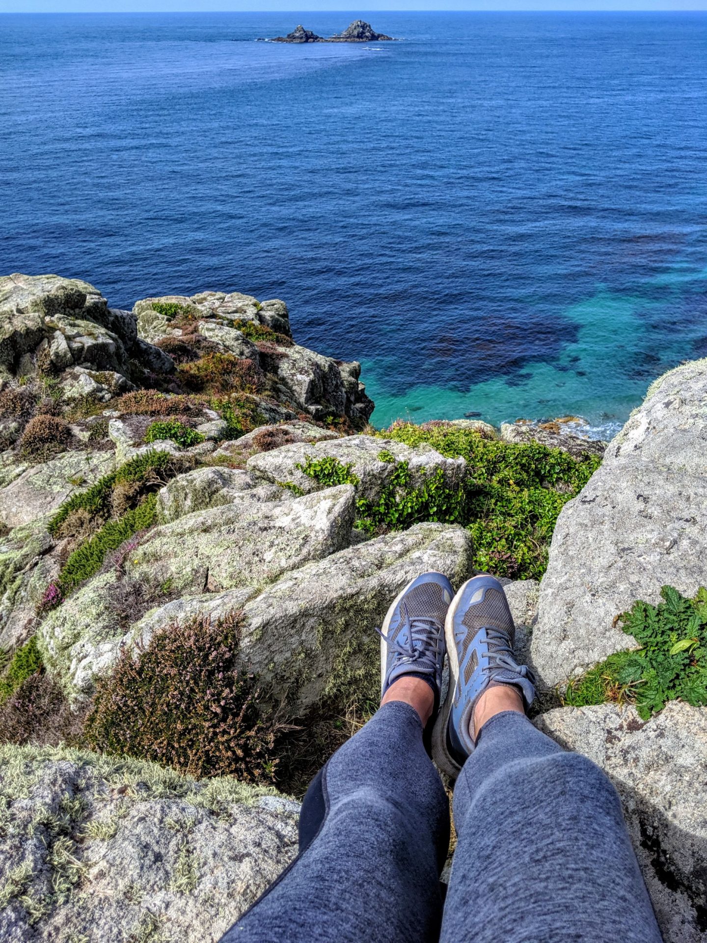
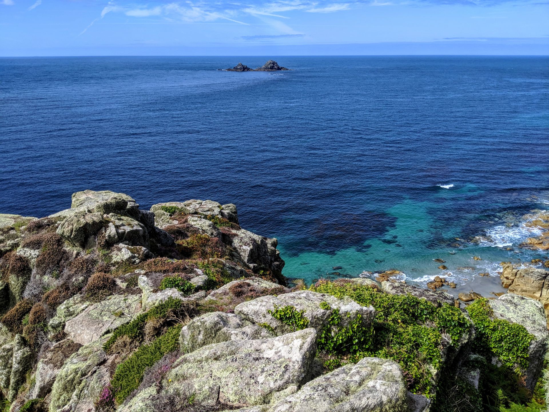
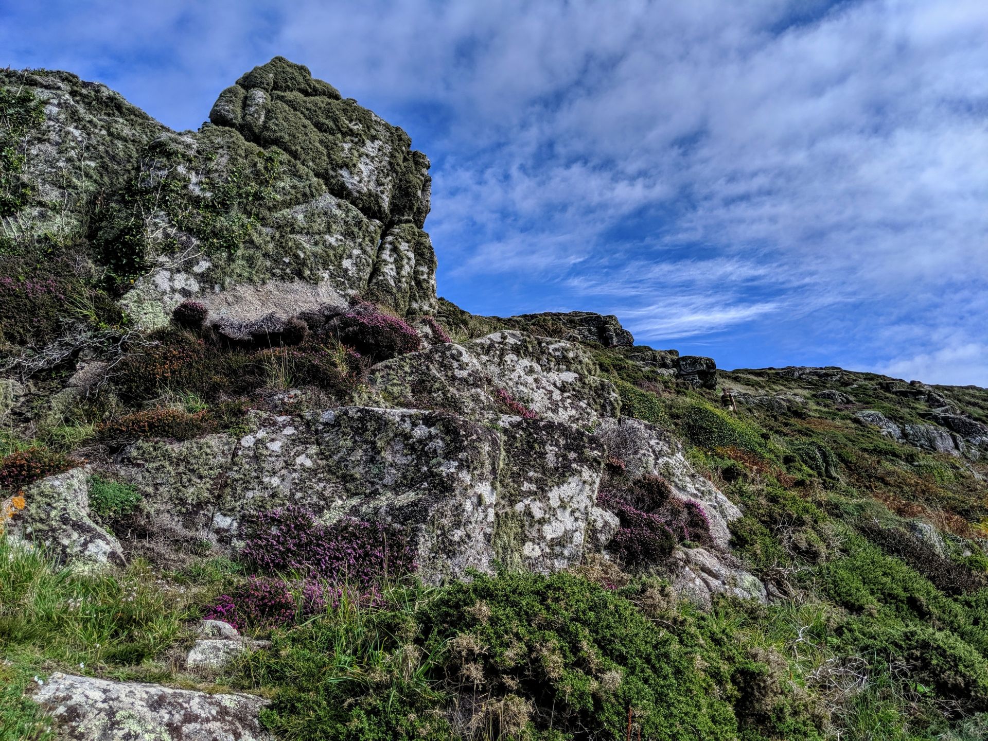
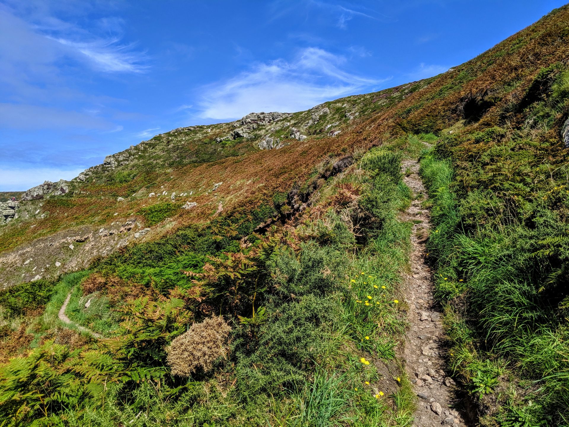
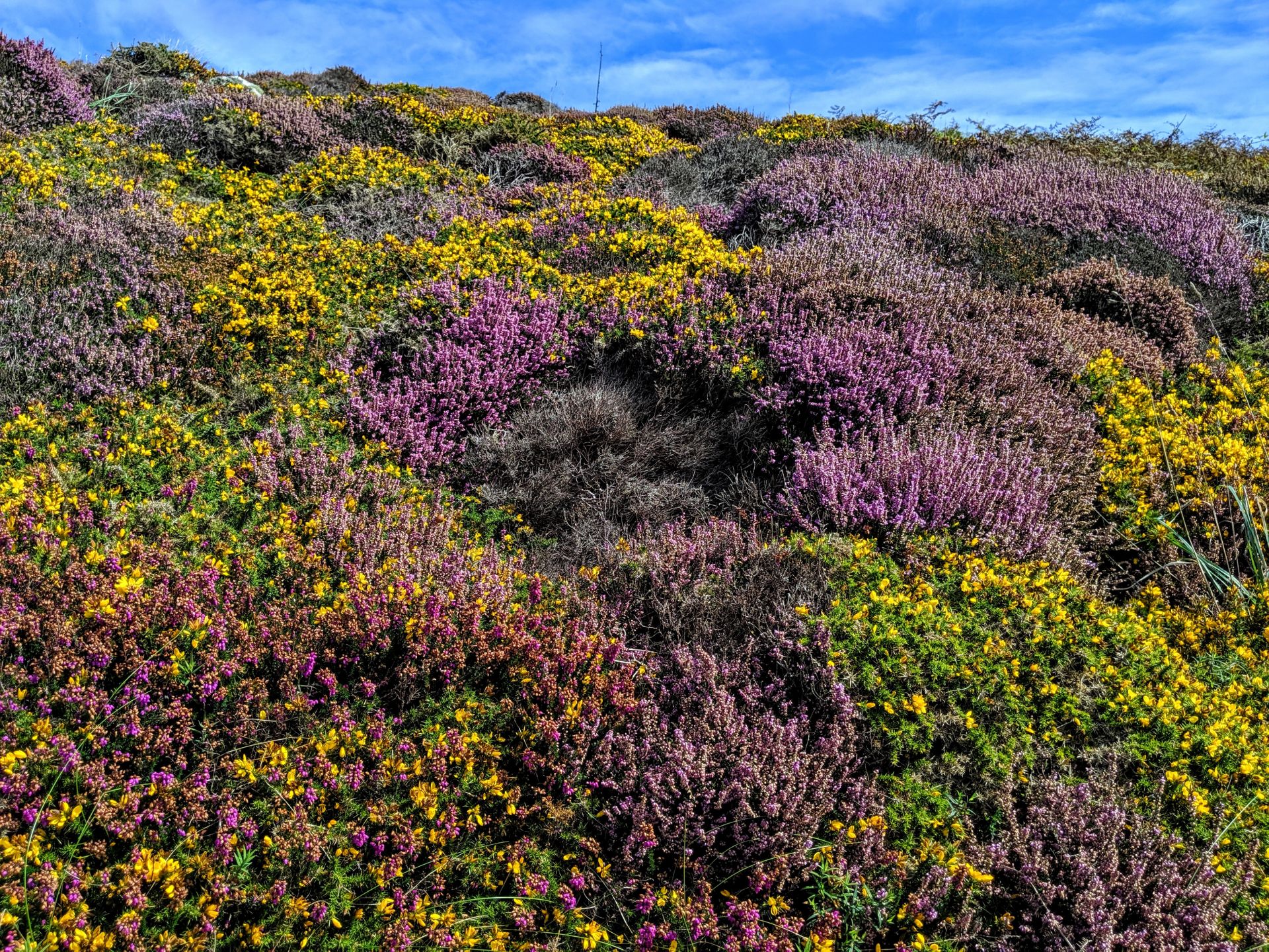
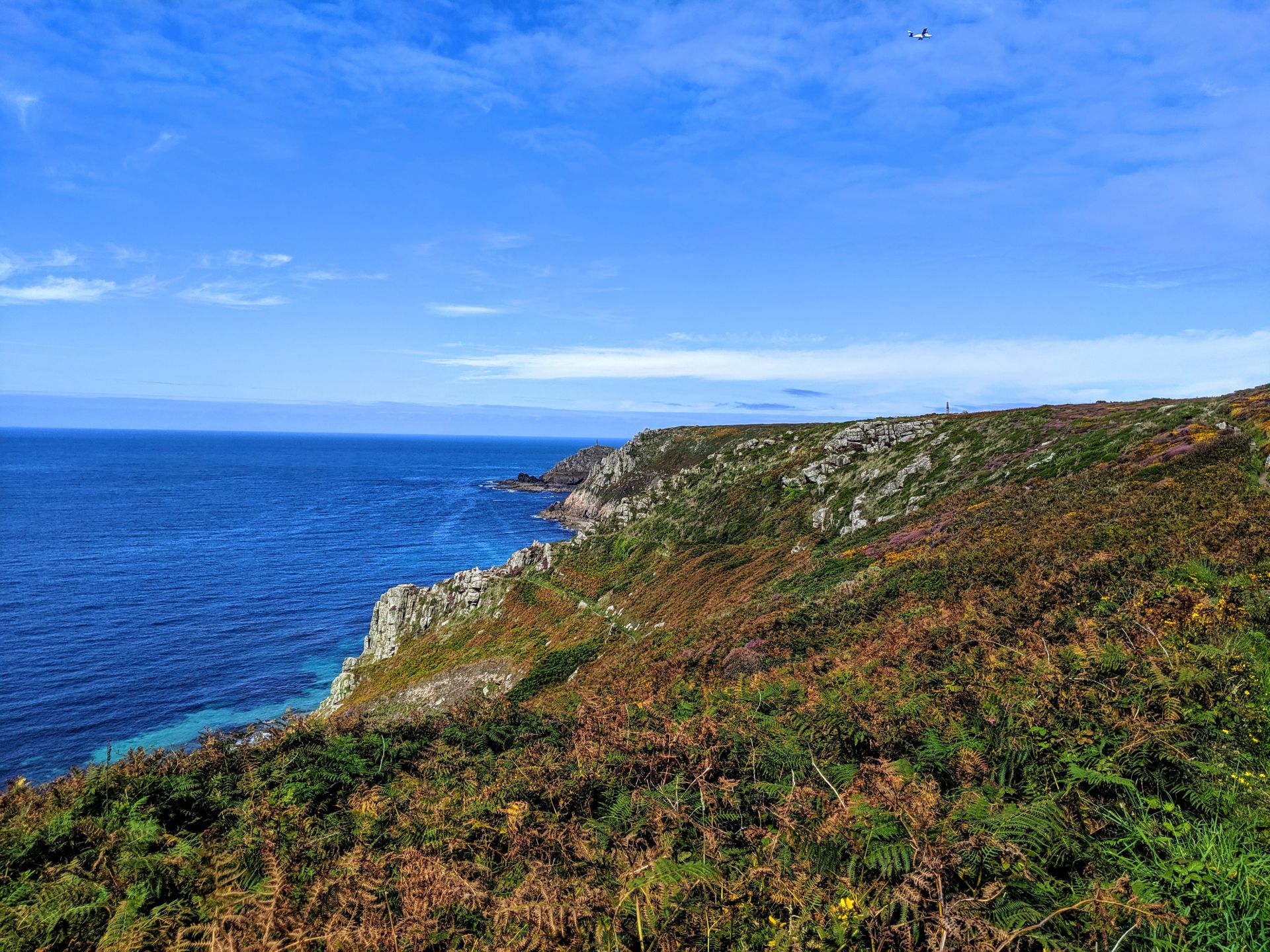
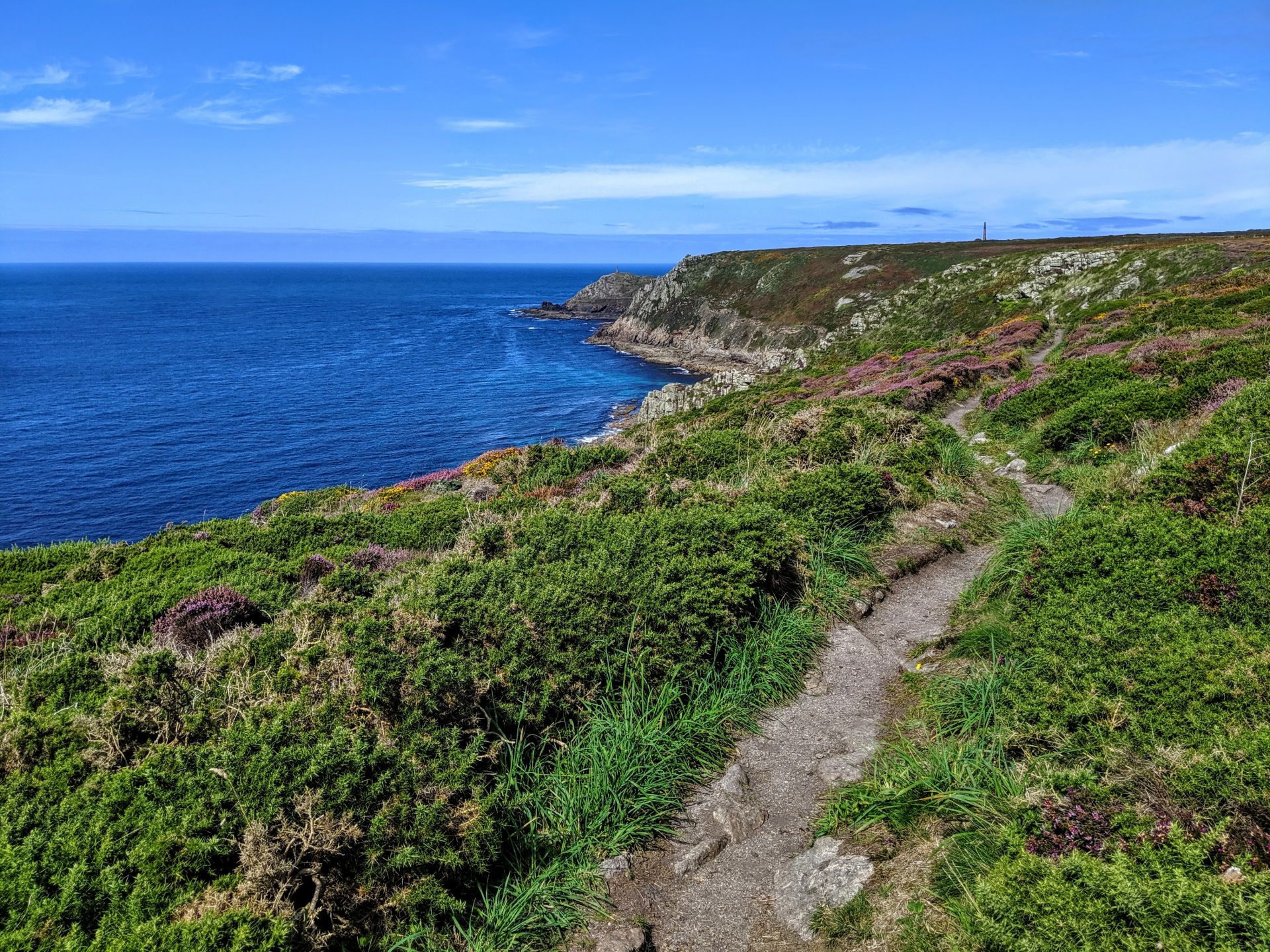
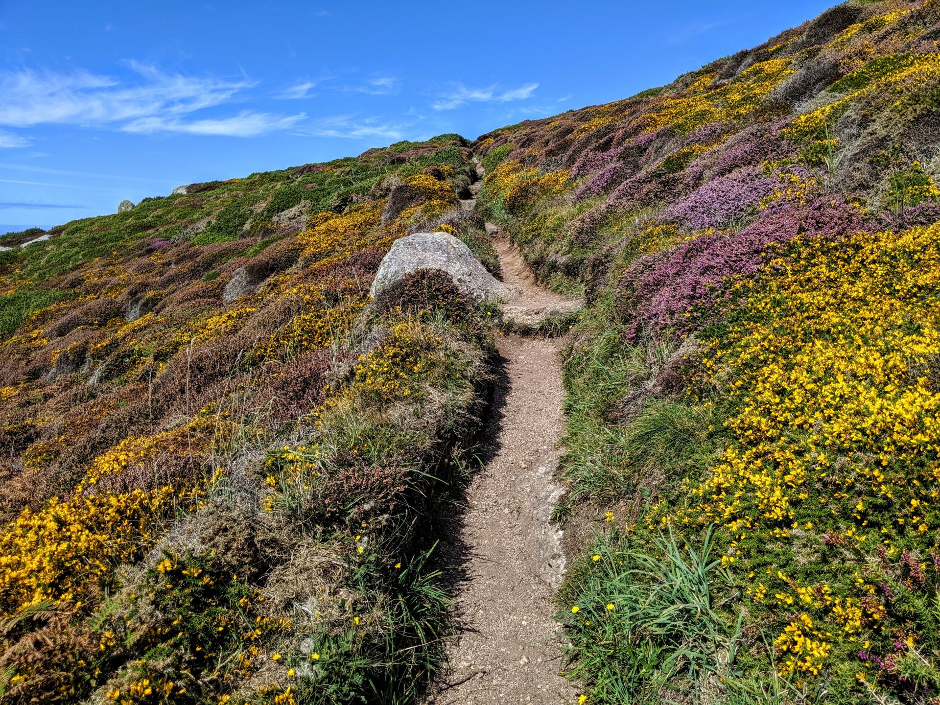
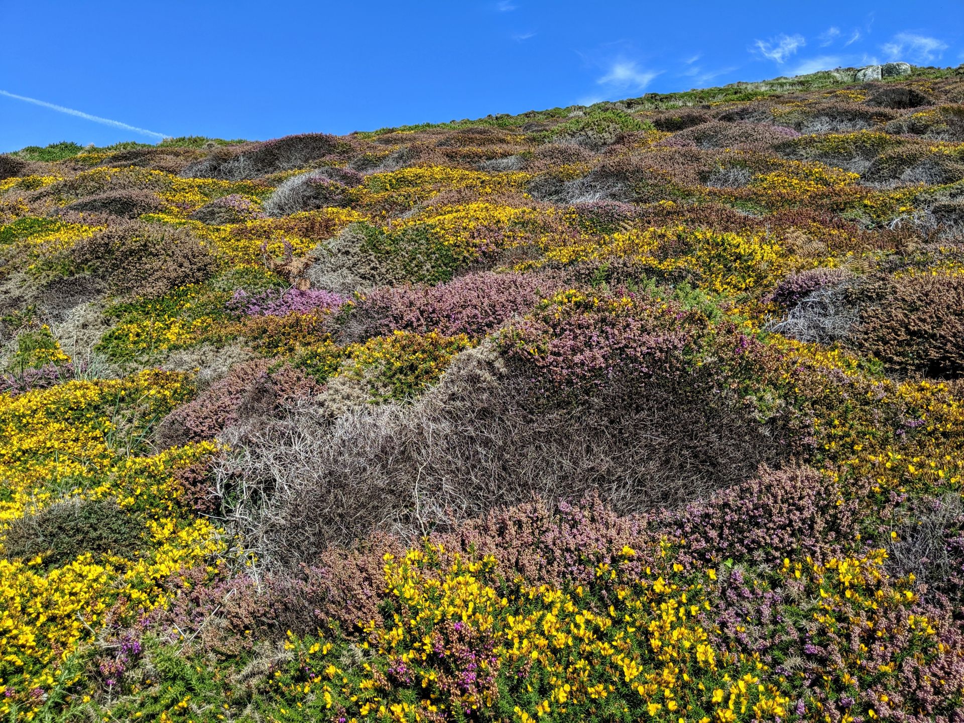
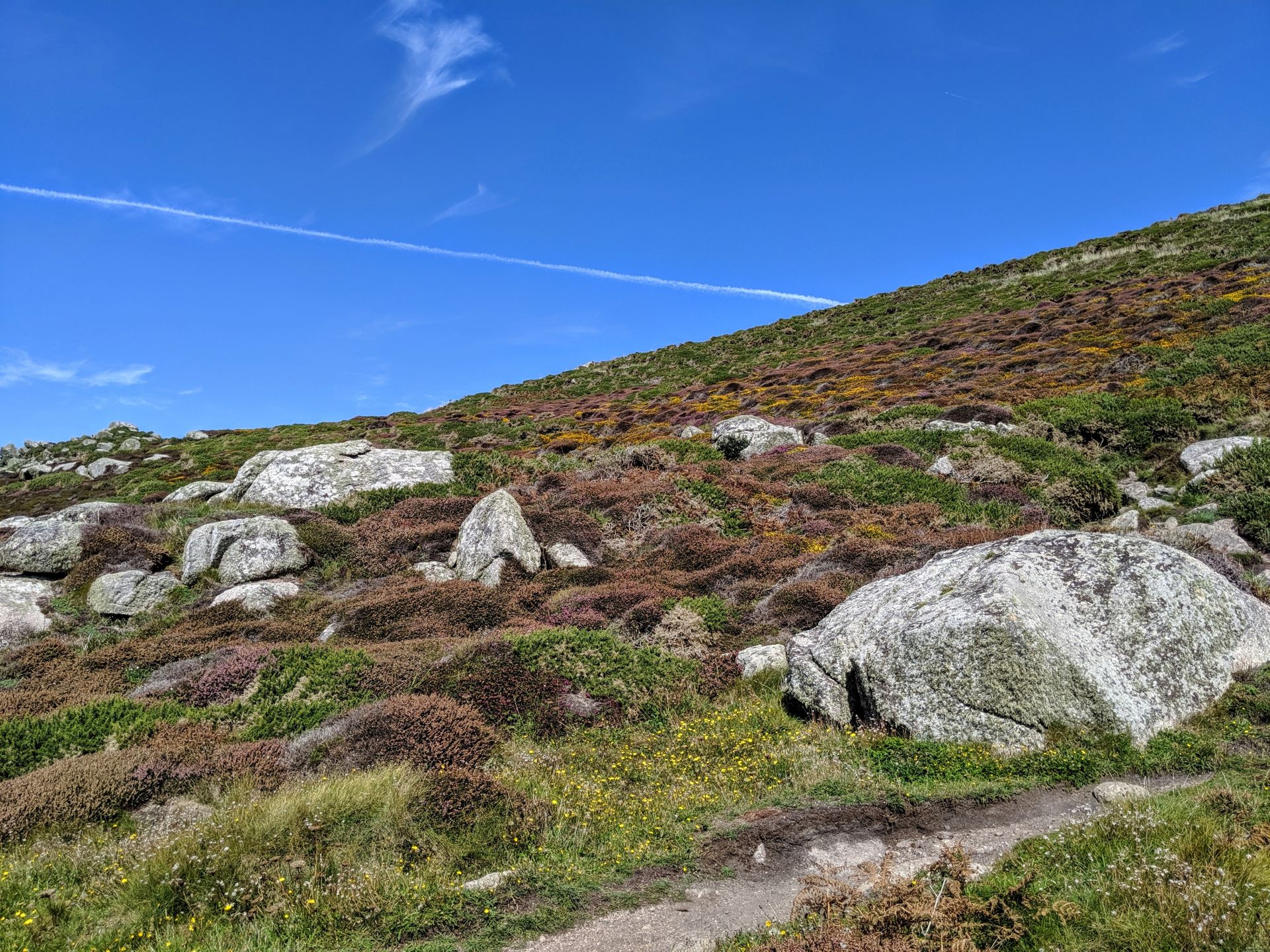
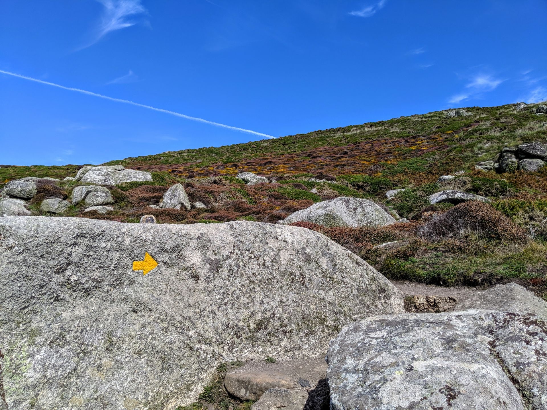
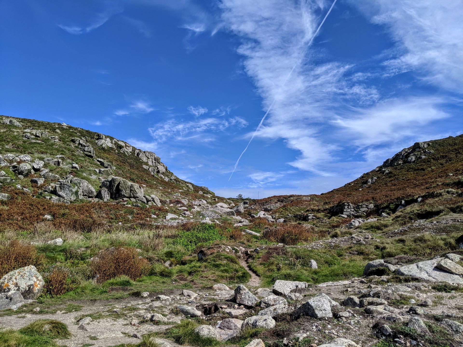
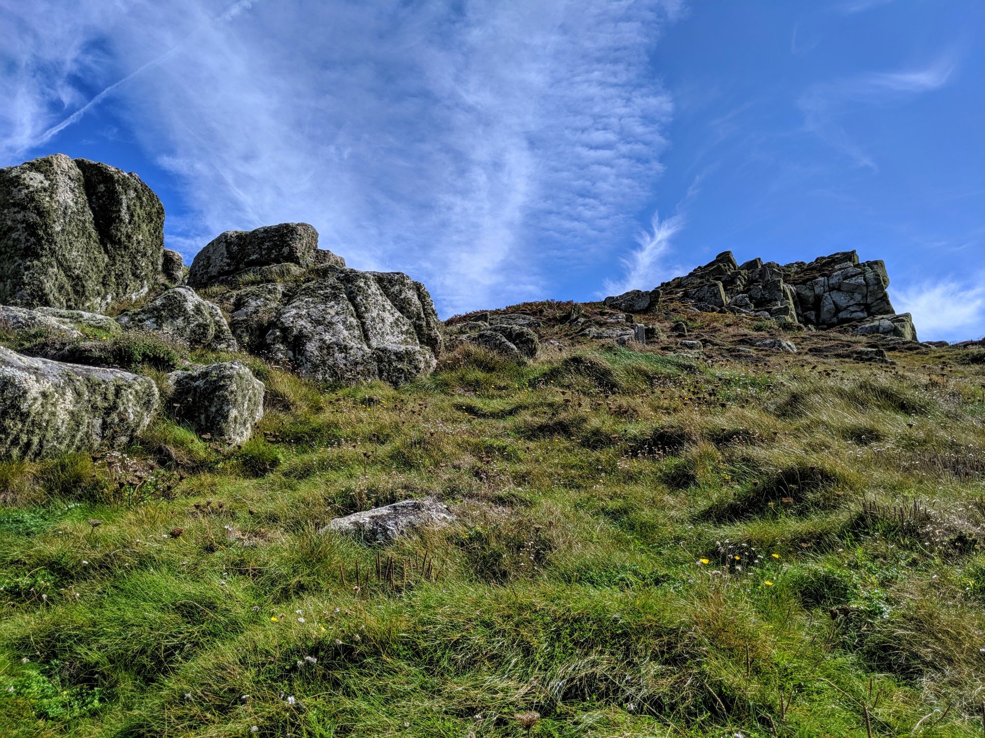
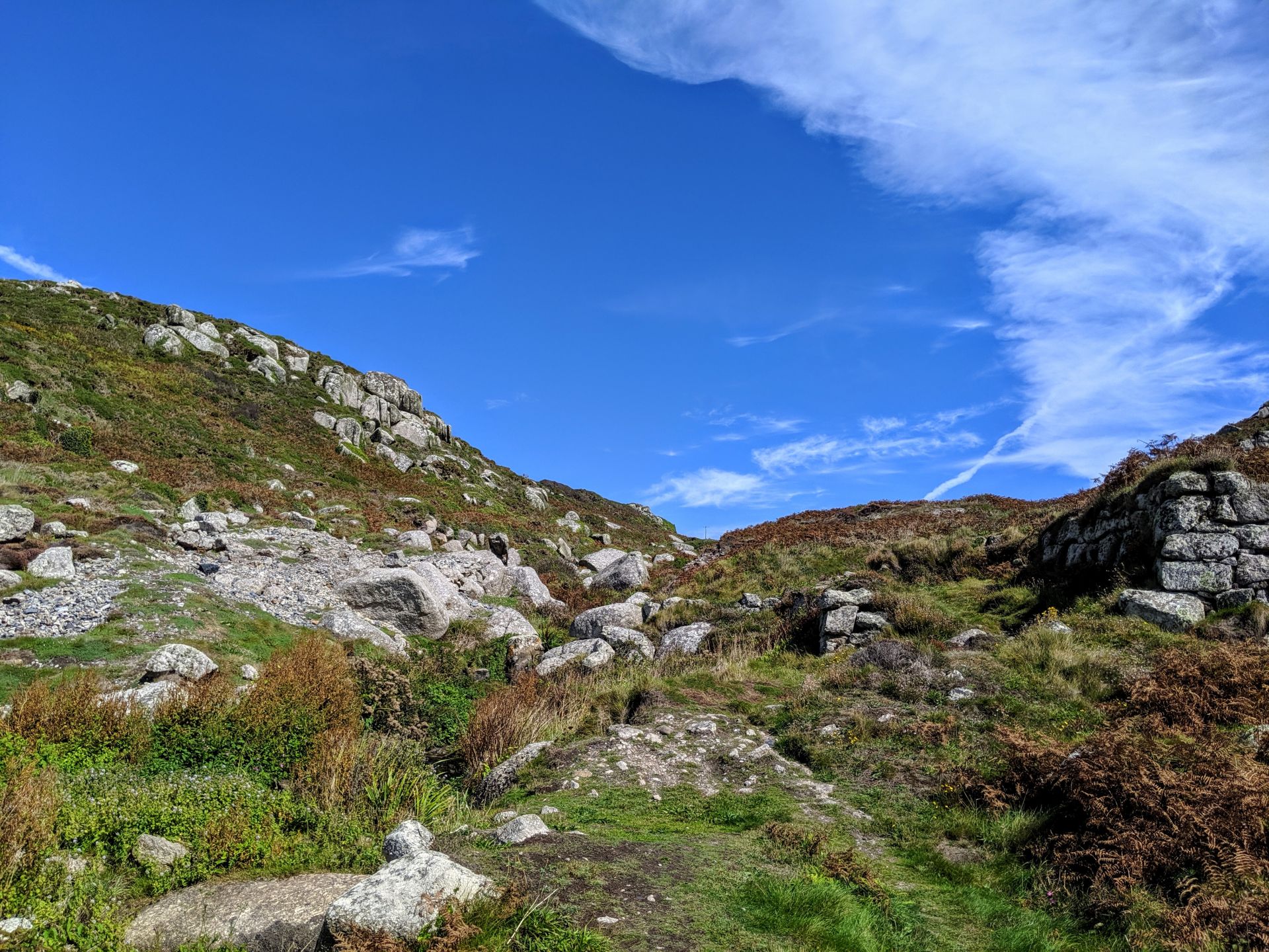
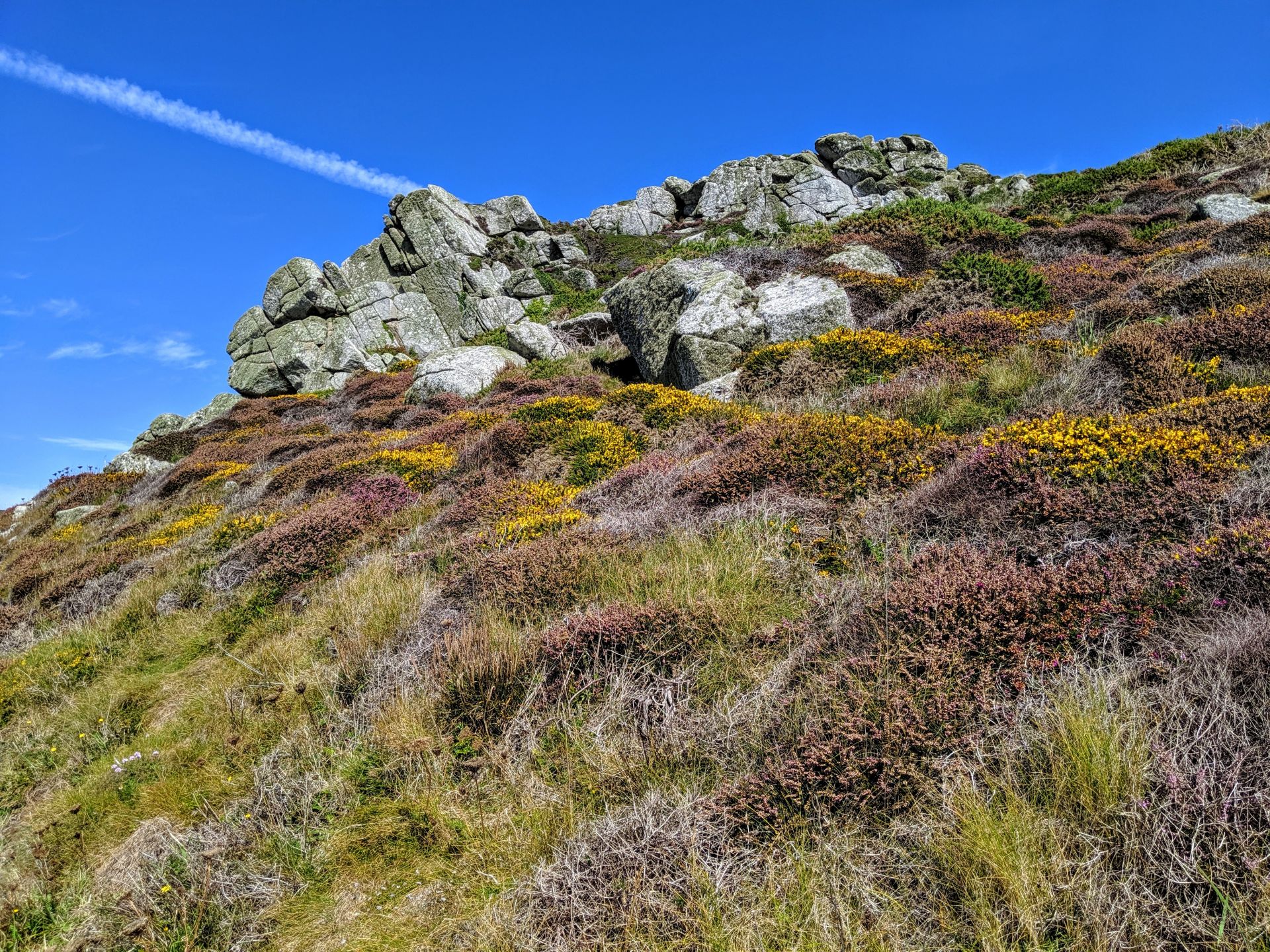
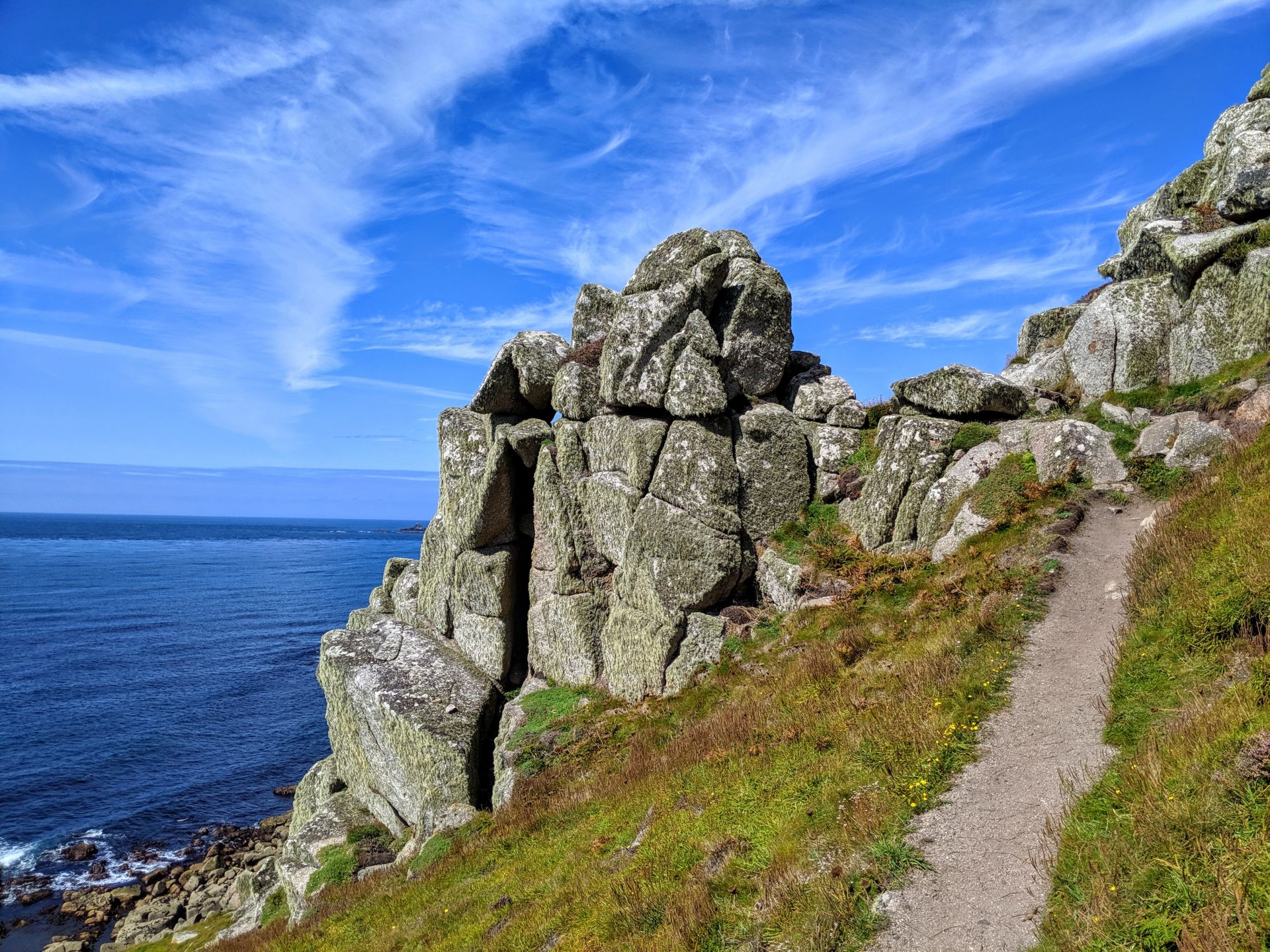
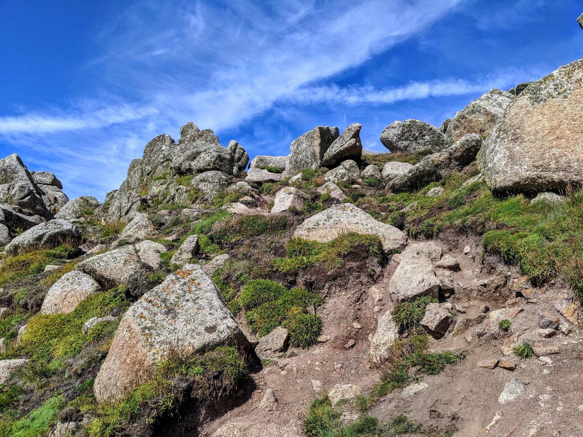
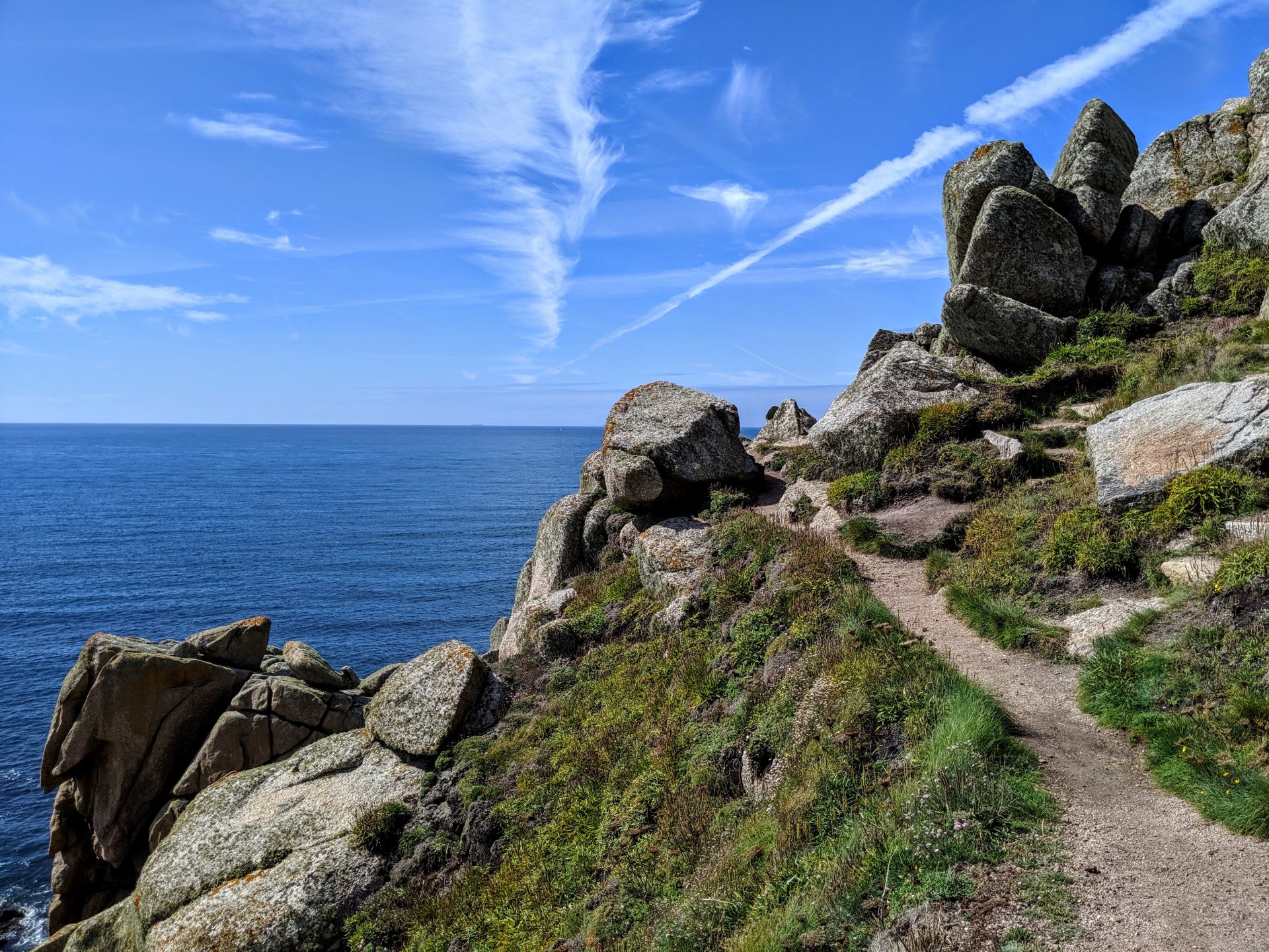
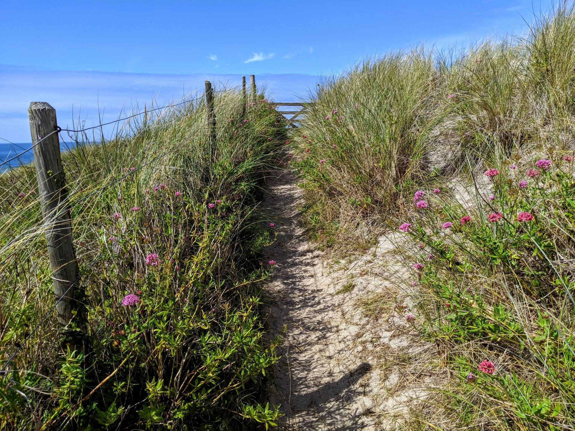
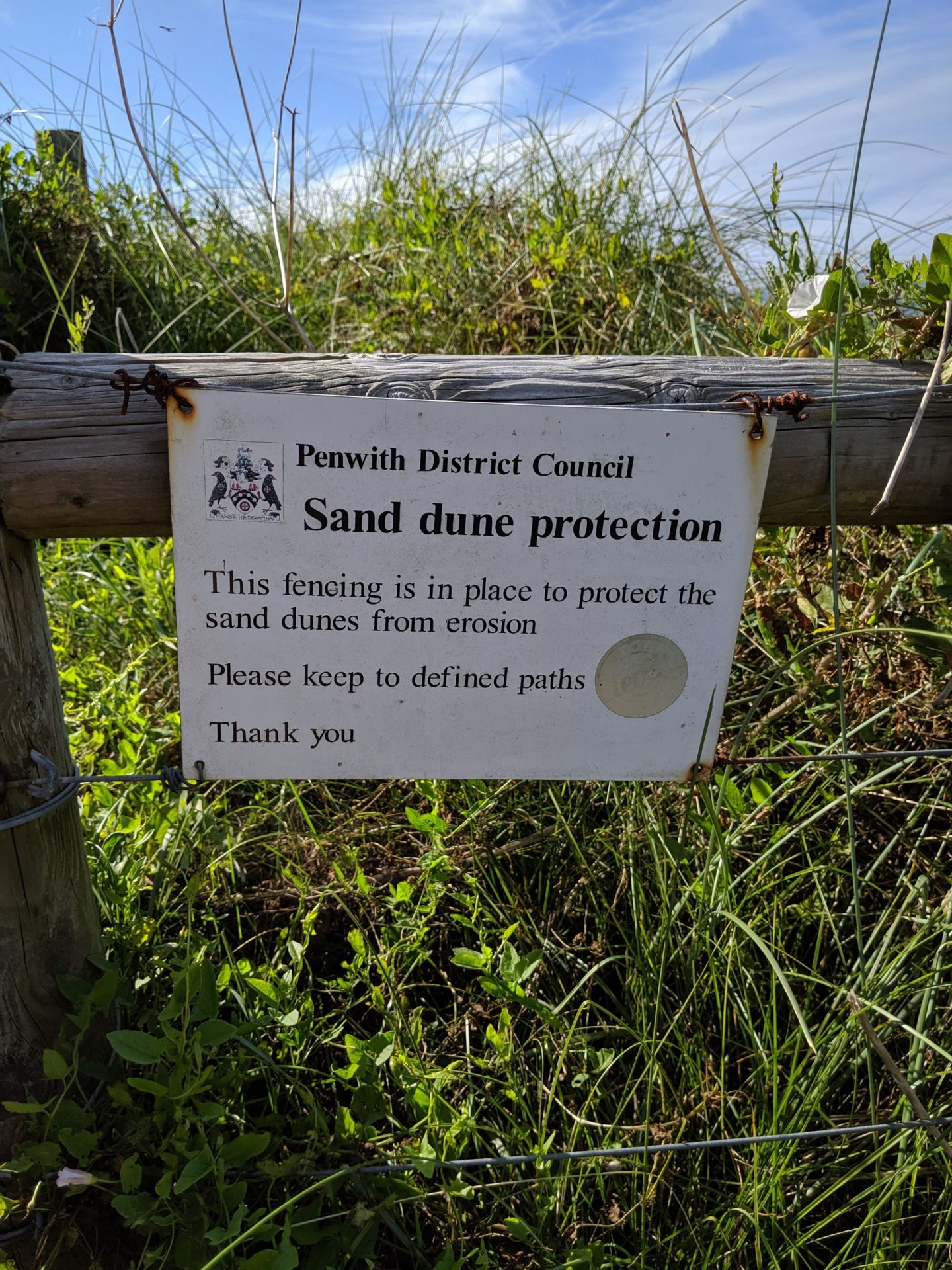
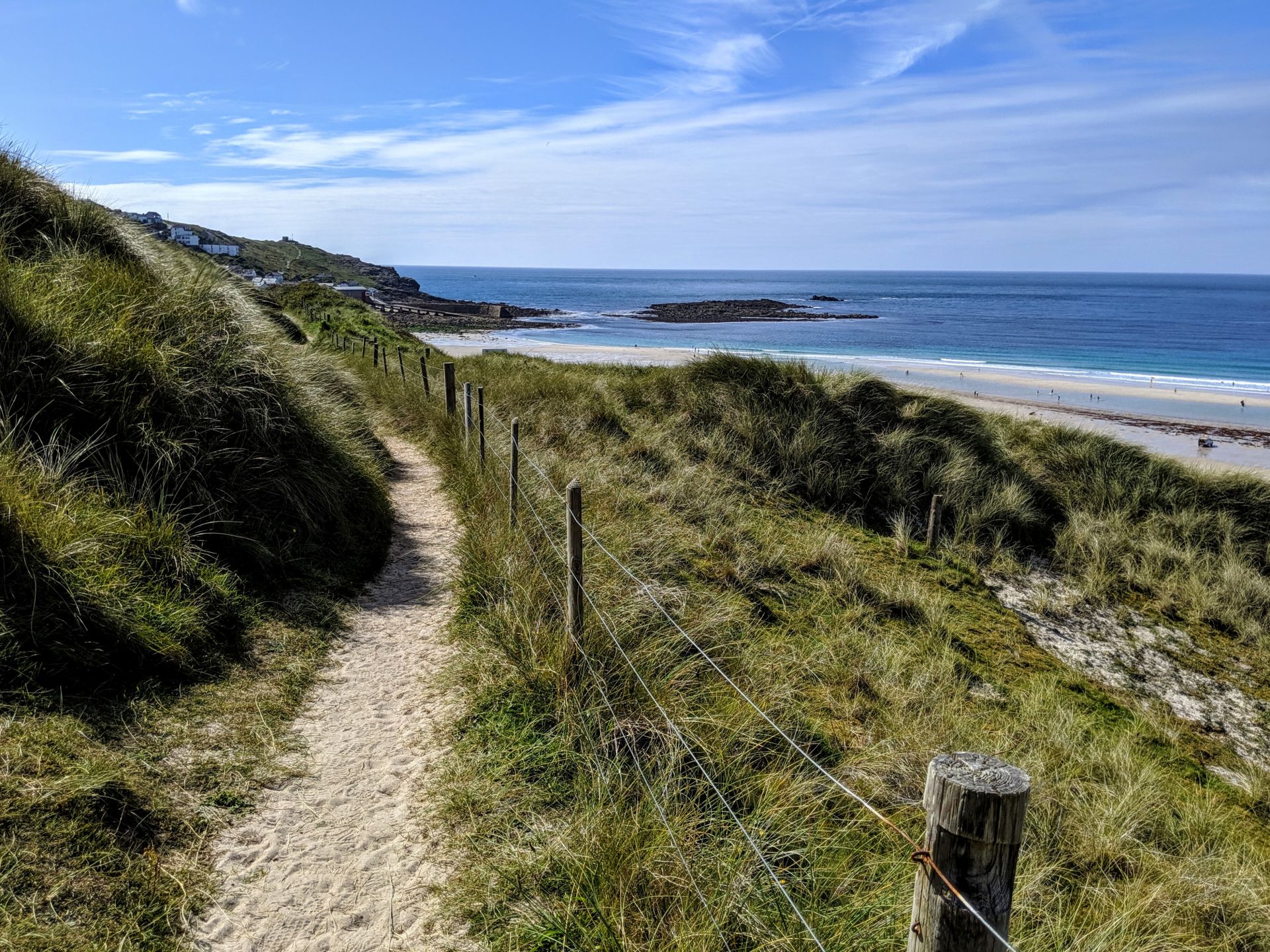
Aire Point to Carrick Du SSSI is a Site of Special Scientific Interest on the Penwith Peninsula, Cornwall, England Point to Carrick Du is located on the west and north coast of the Penwith peninsula, extending from a point approximately 3 km north east of Land’s End to St Ives. The site is dominated by vertical sea cliffs formed by the Land’s End granite mass. The cliffs are topped by steep slopes punctuated by sheer castellated granite cams. Associated Devonian slates and basaltic rocks, altered by the intrusion of the granite, display fine examples of the effects of contact metamorphism. The soils, which are often thin, are generally acidic, well drained with a gritty, loamy texture and a humic surface horizon. Iron panning has impeded drainage locally and peaty soils have developed where wet flushes occur. Exposure to salt spray and the prevailing south westerly winds have resulted in a dwarfed vegetation.
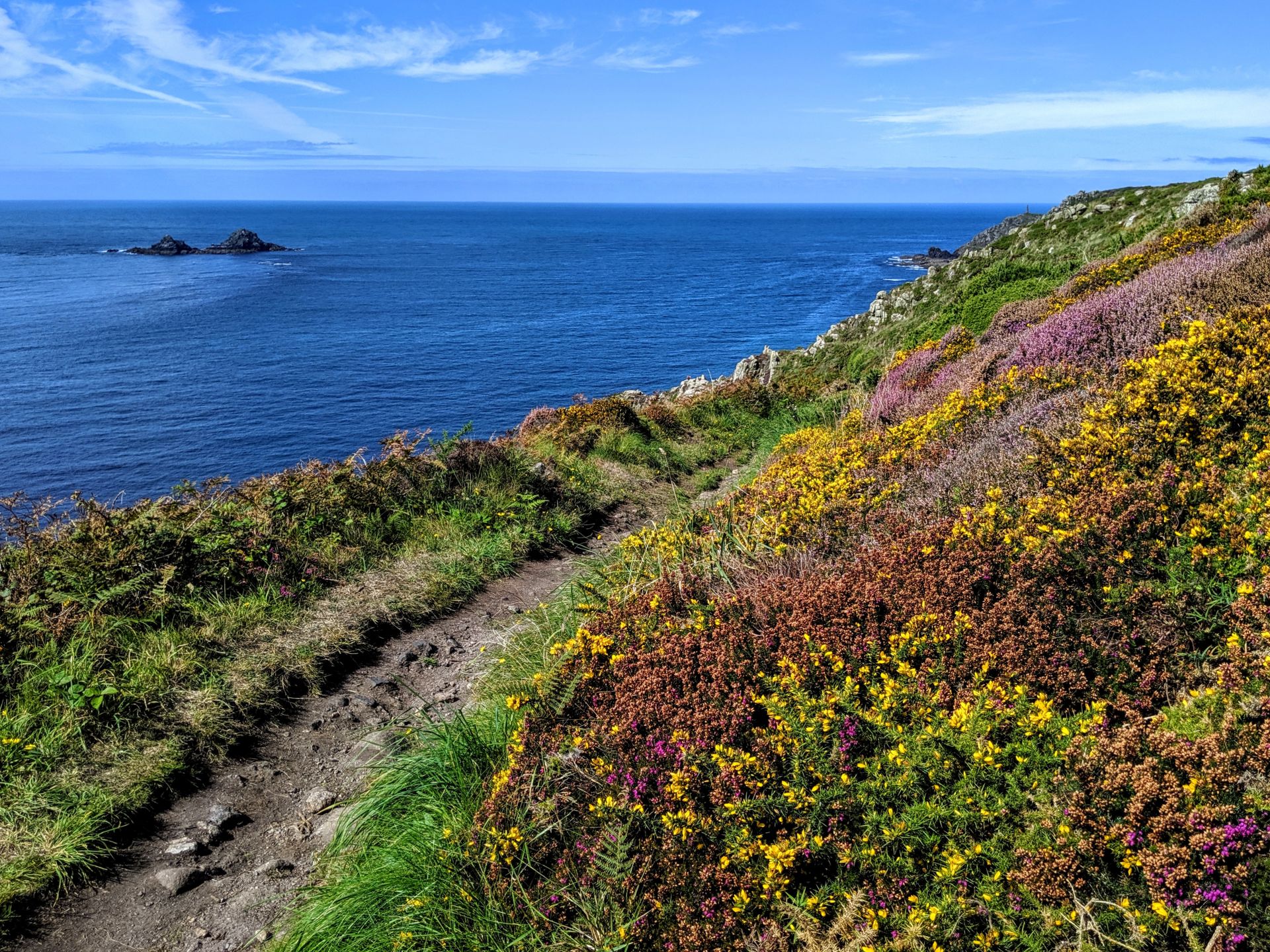
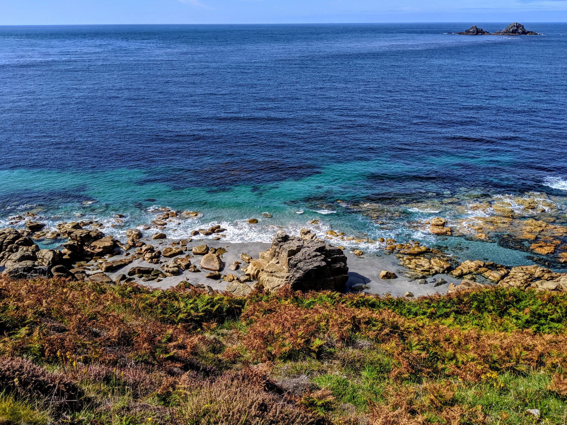
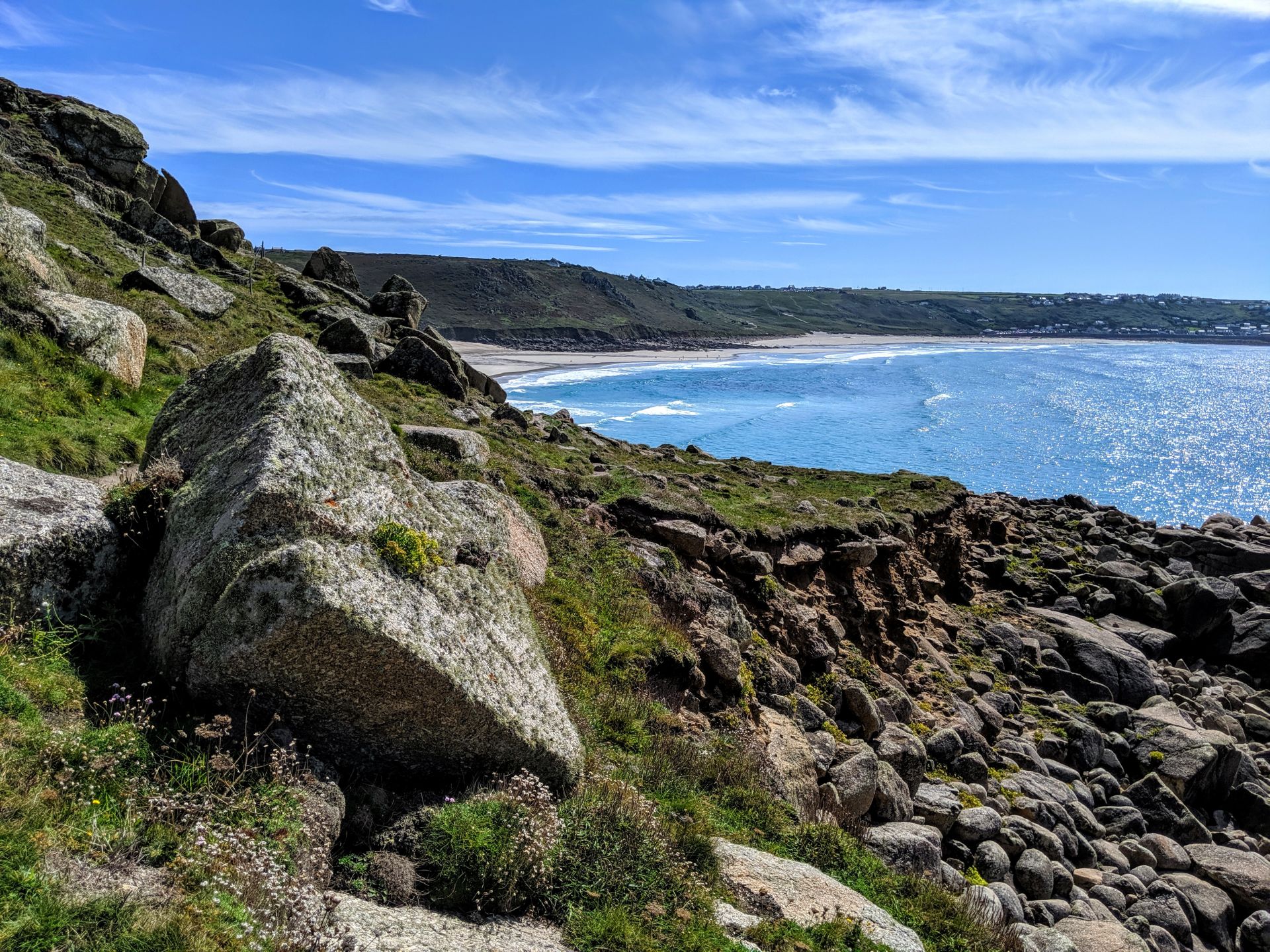
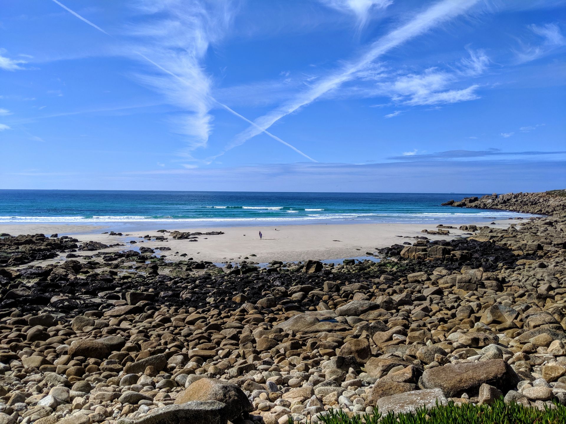
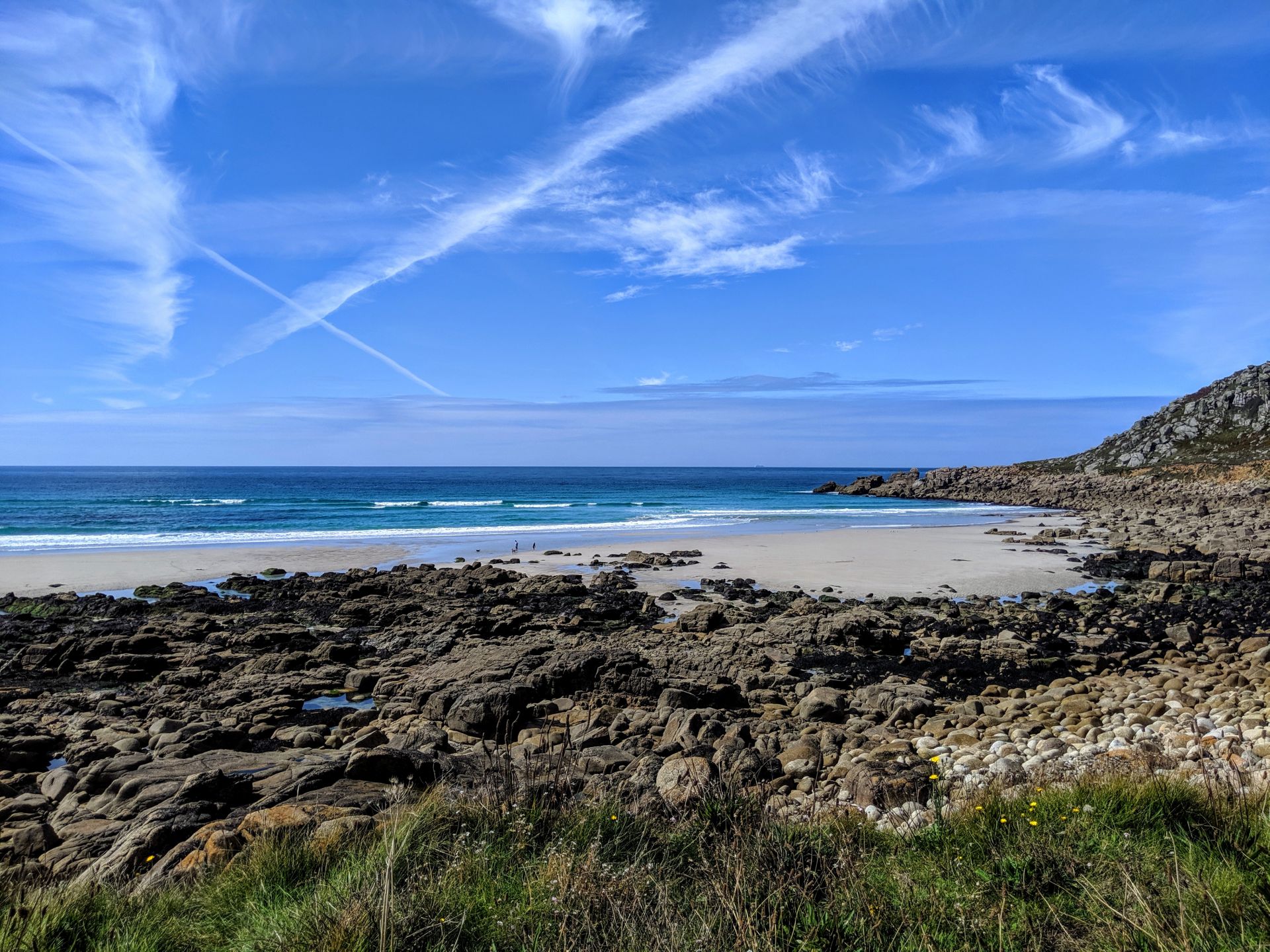
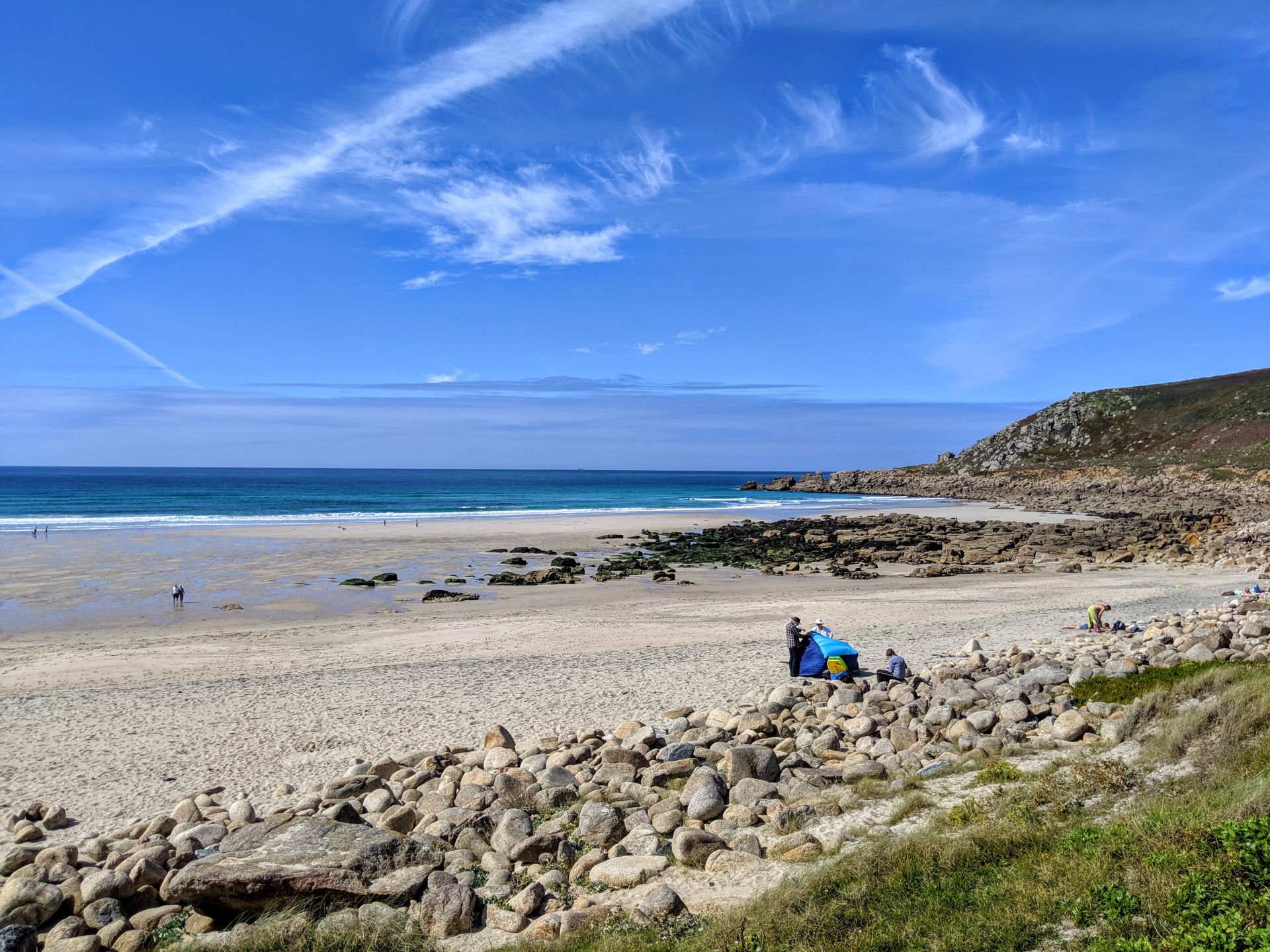
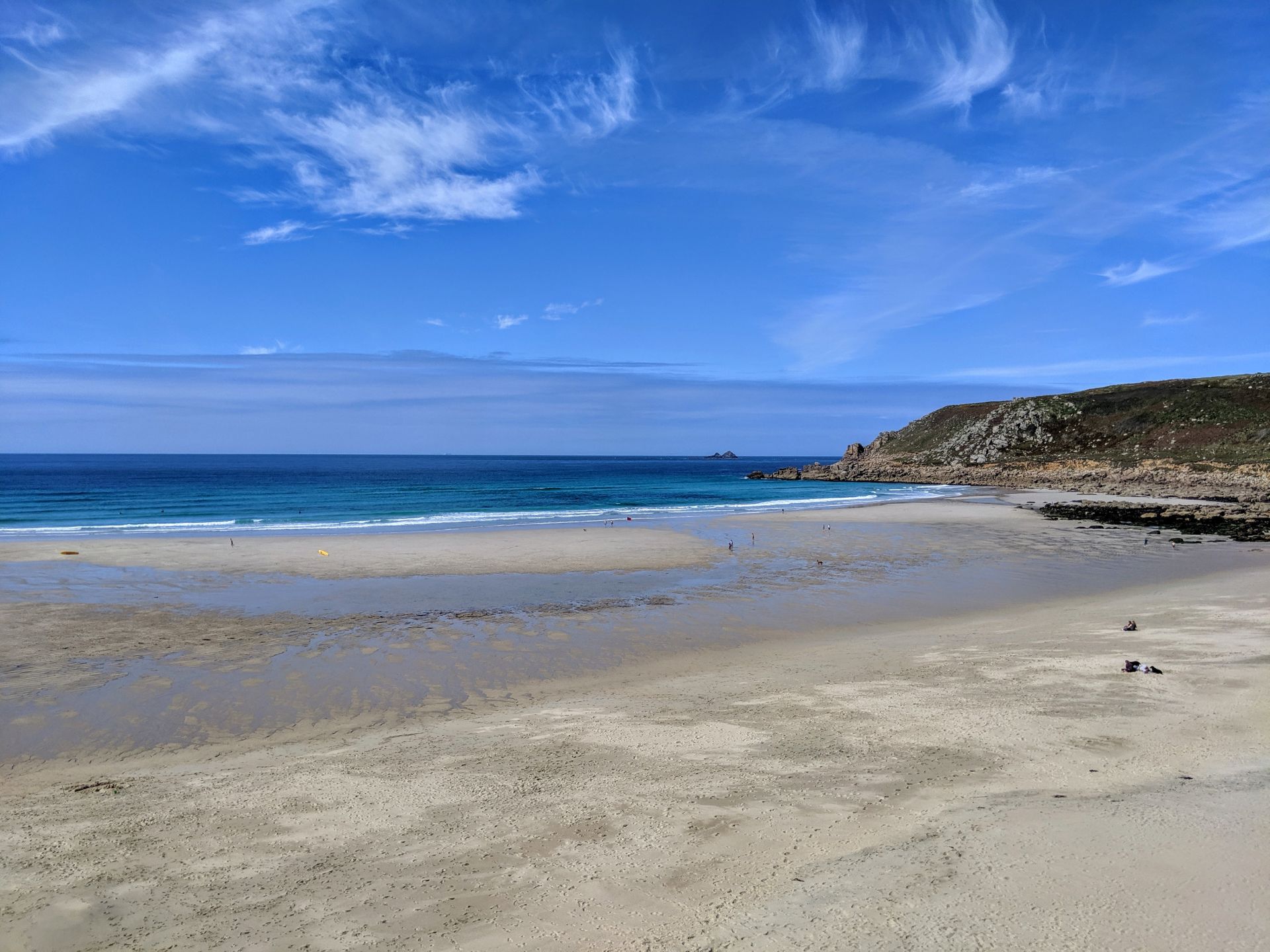
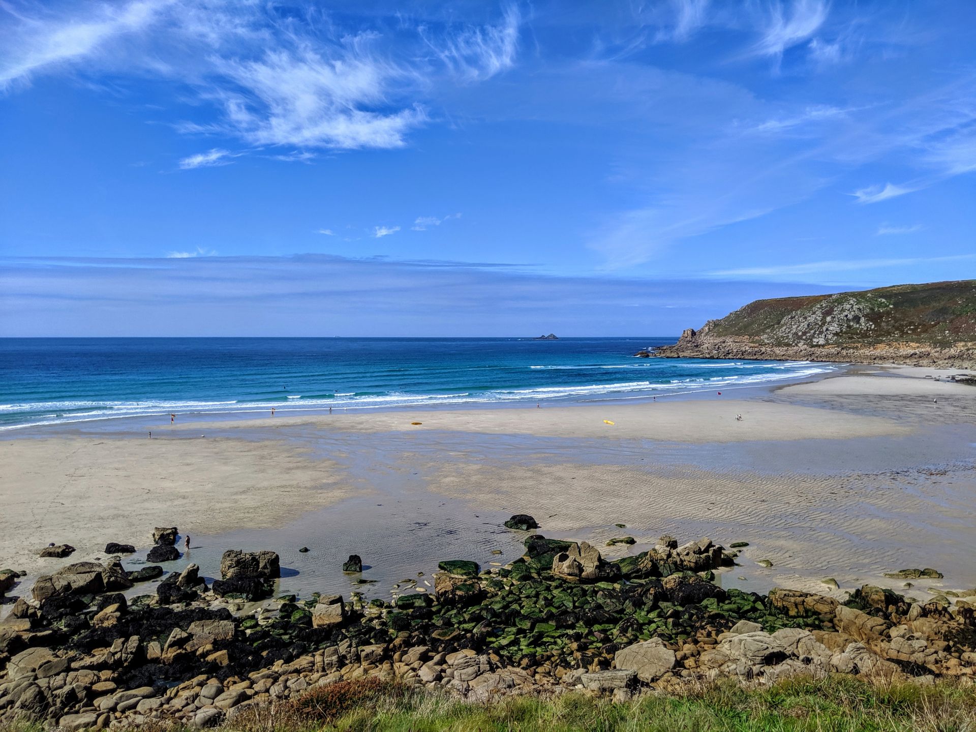
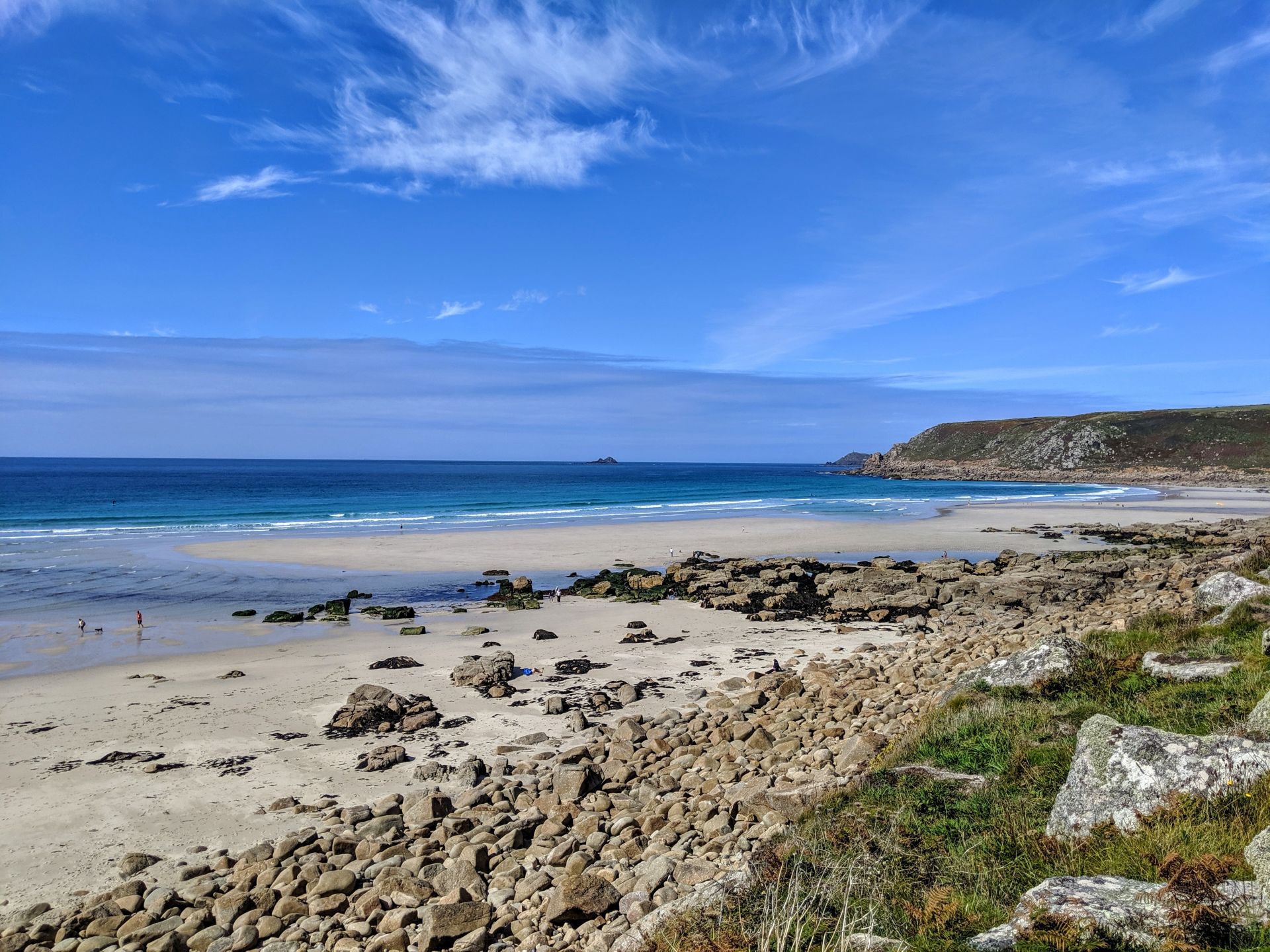
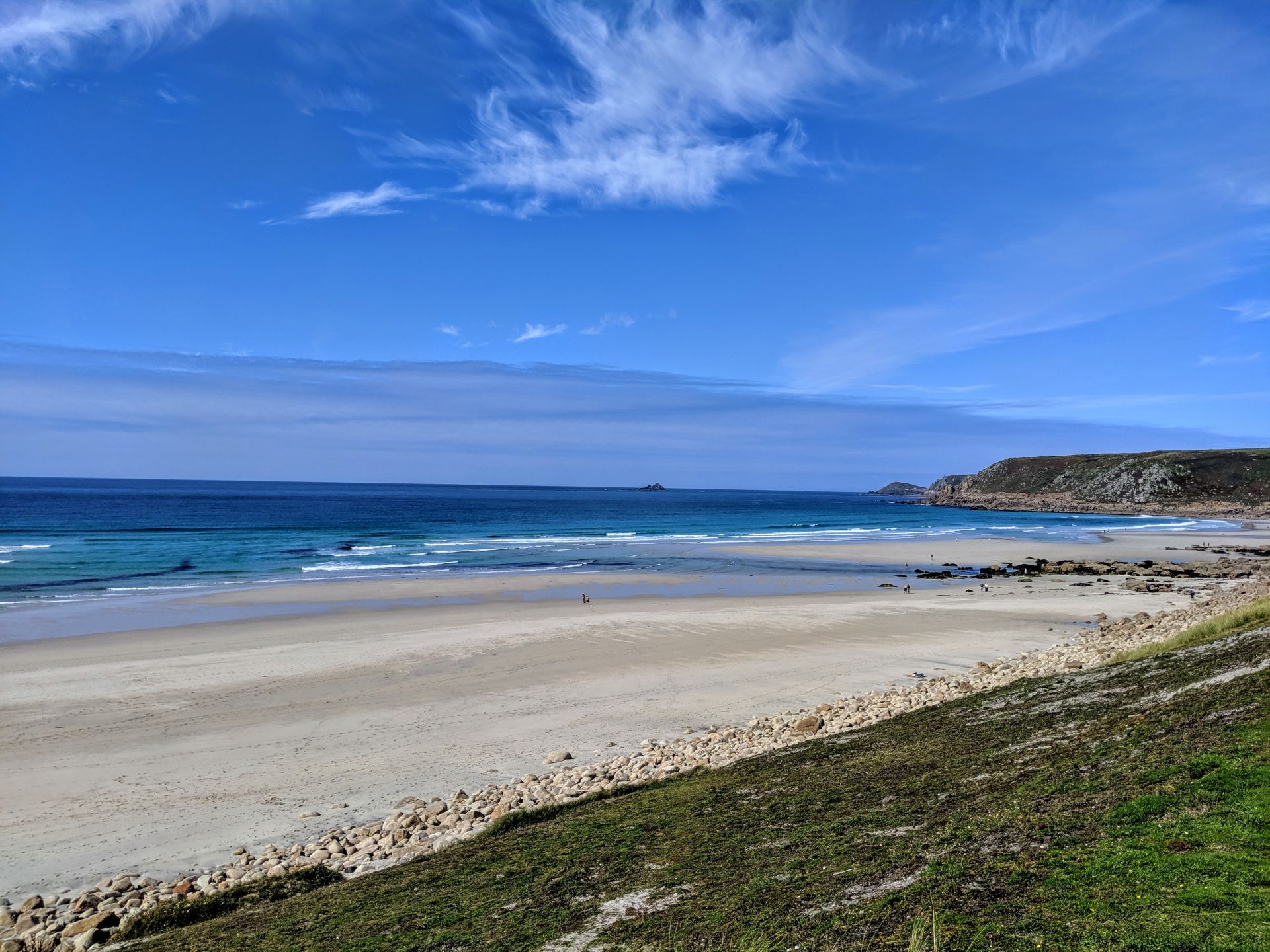
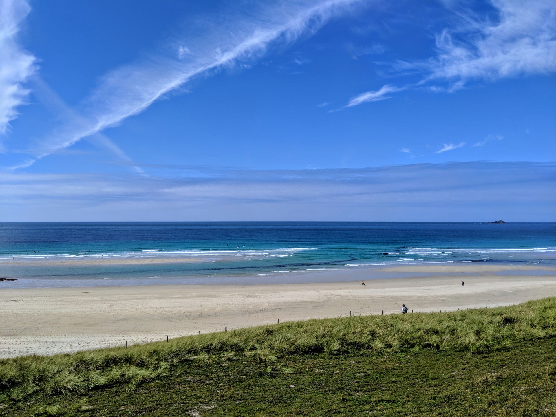
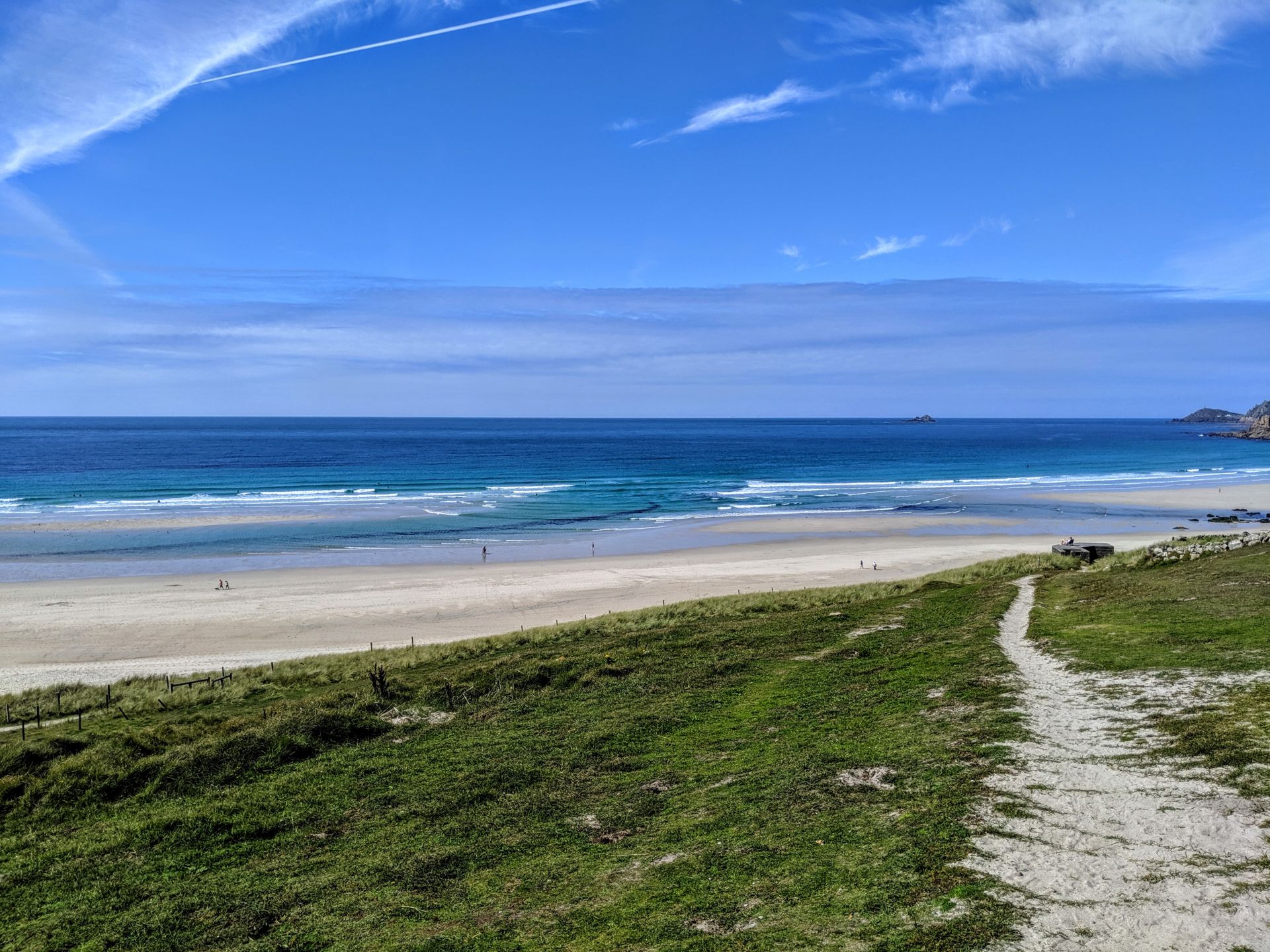
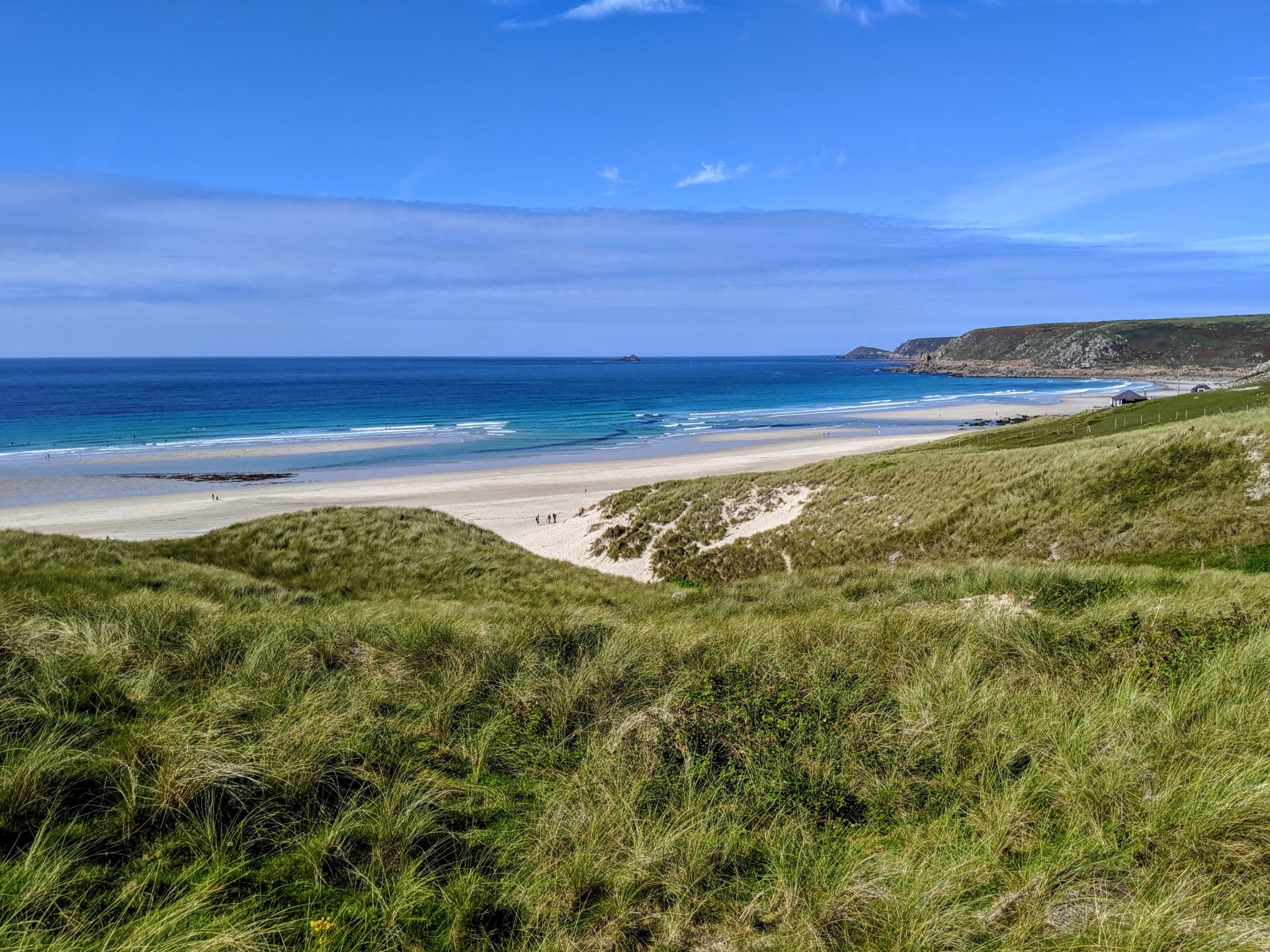
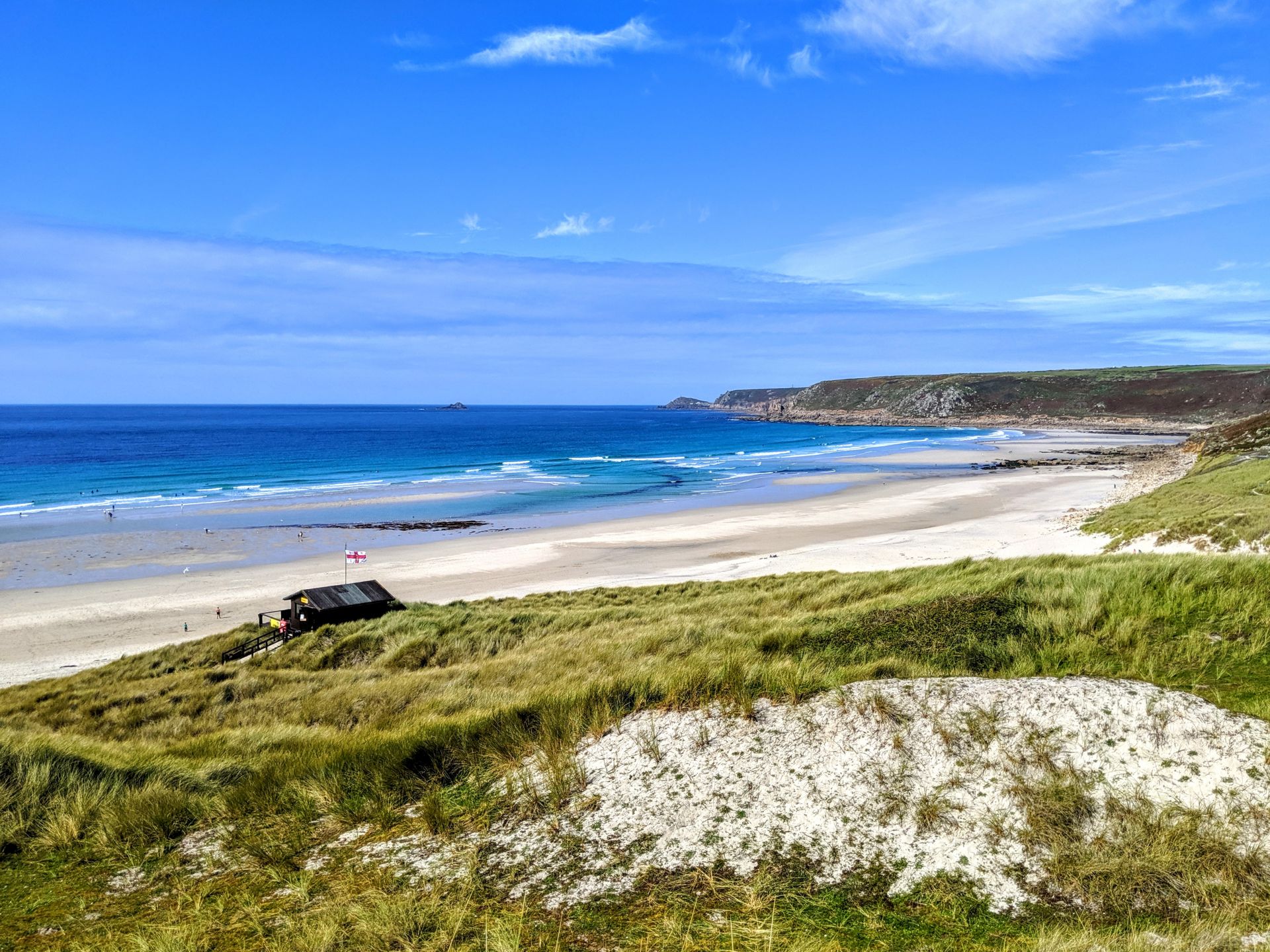
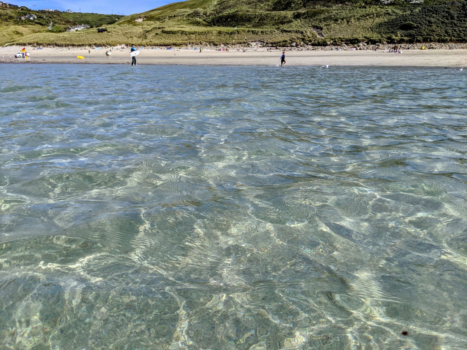
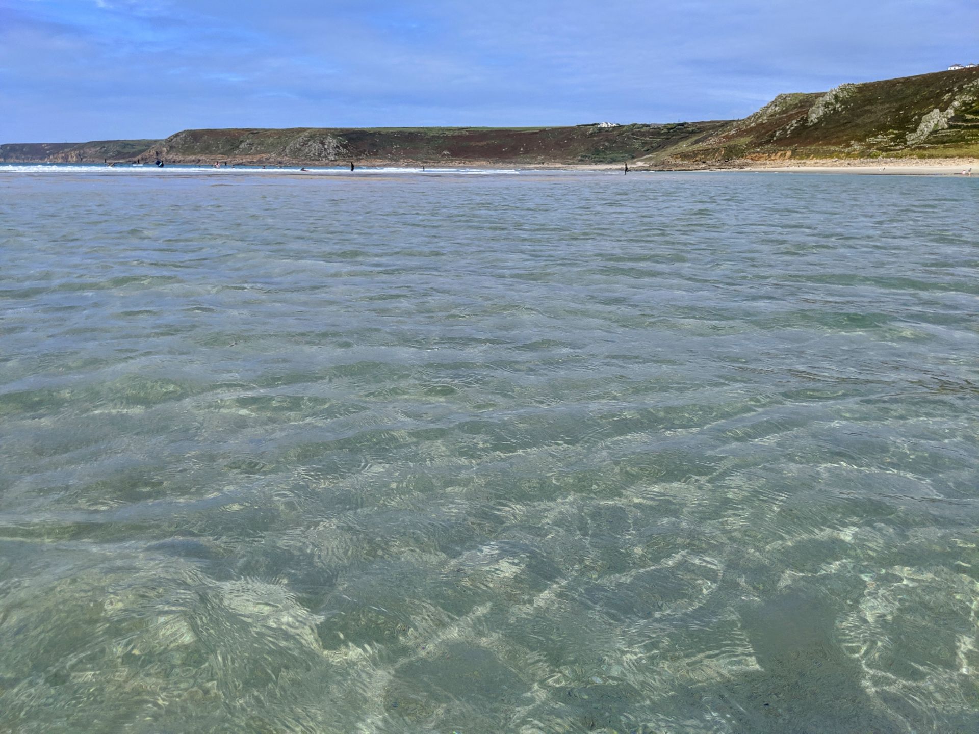
Gwenver Beach is a quiet and beautiful bay near Sennen Cove in far west Cornwall. Situated at the bottom of a steep grassy cliff, the white sands and crystal clear waters make Gwenver a truly magical place to visit. As you walk down towards the beach you can often see Cormorants and Shags diving into the sea to catch fish.
Some say that Gwenver Beach (sometimes spelt ‘Gwynver’) takes its name from the legendary King Arthur’s wife, Guinevere. At low tide the beach at Gwenver joins Whitesand Bay at the far end of Sennen Cove, and on a clear day the Isles of Scilly are visible from here. At the far end of the bay is Ayre Point, a rocky outcrop that’s a popular spot for fishermen.
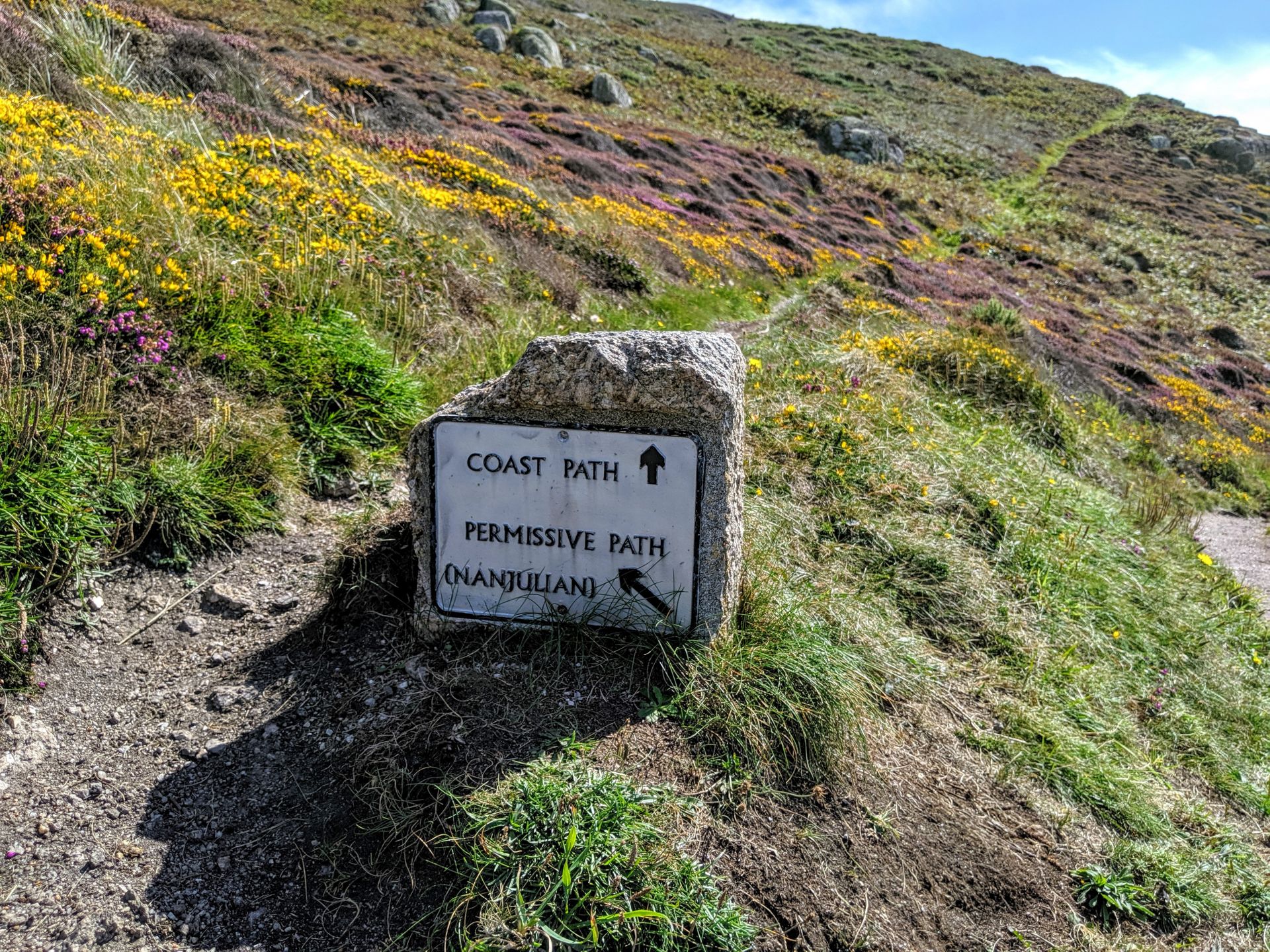
Gwenver is a popular beach for local surfers, but strong currents and rip tides make it a place only for the experienced in certain conditions, there is lifeguard cover in the summer months making bathing safe for everyone. The coastal paths in the area lead to some breathtaking and secluded Cornish beaches such as Nanjizal (Mill Bay) and Porth Nanven Cove, or just a short stroll over to the more popular Sennen Cove where there are more facilities.
Highlights from the official Southwest Coast Path website include.
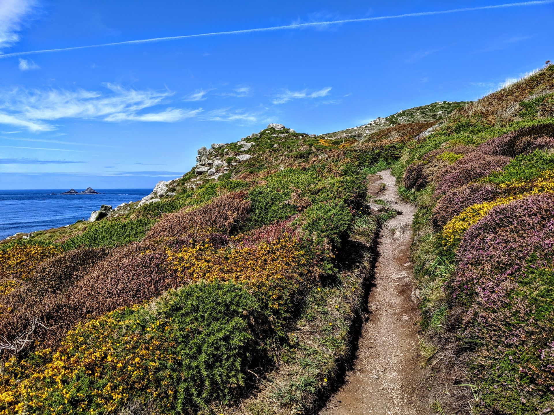
• Cape Cornwall and the tiny Priest’s Cove: the cape is owned by the National Trust and was once thought to be the most westerly point in England. It is the only cape in England and is the point at which the Atlantic currents split and flow south up the English Channel or north into the Bristol Channel and Irish Sea.
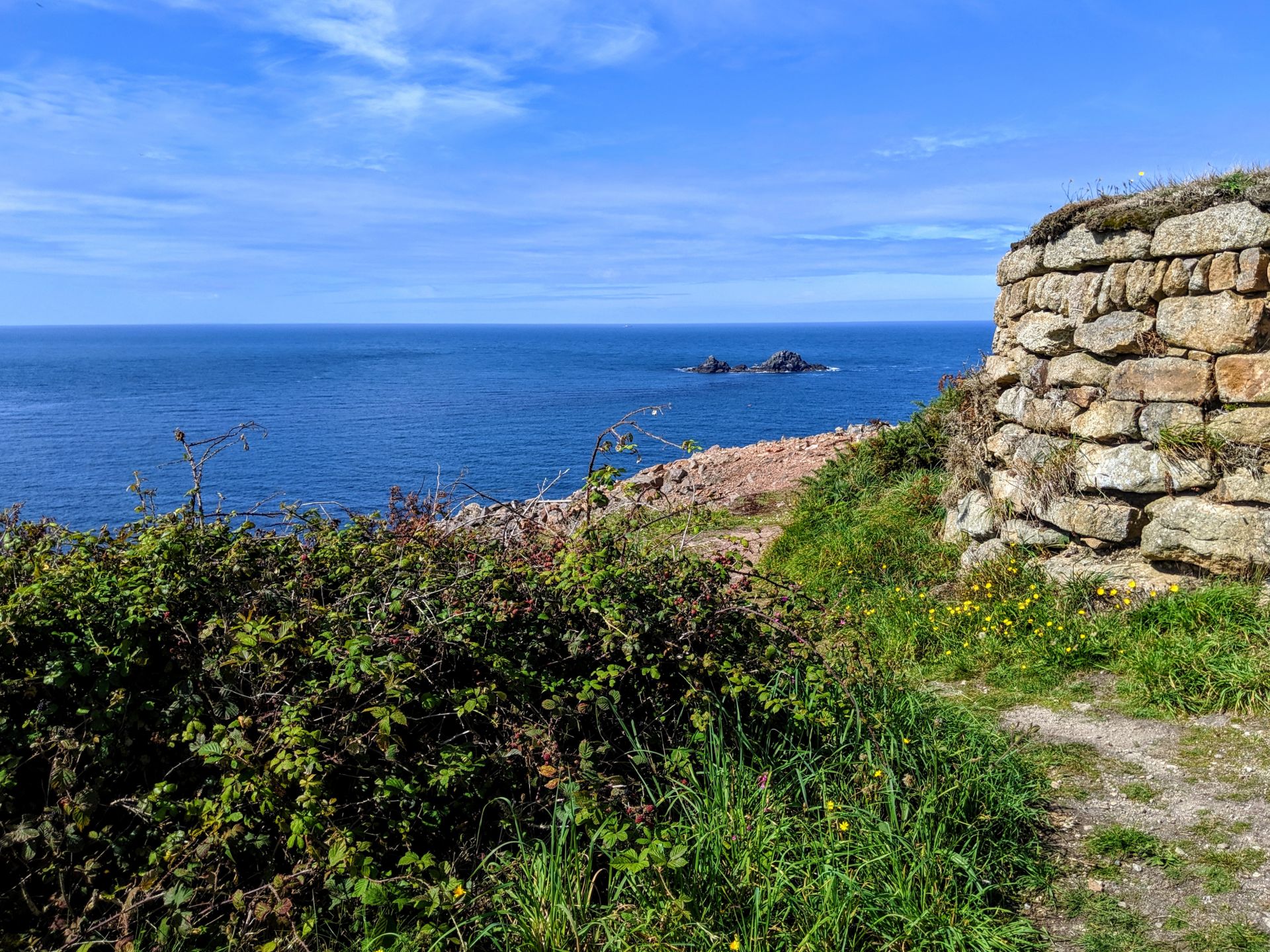
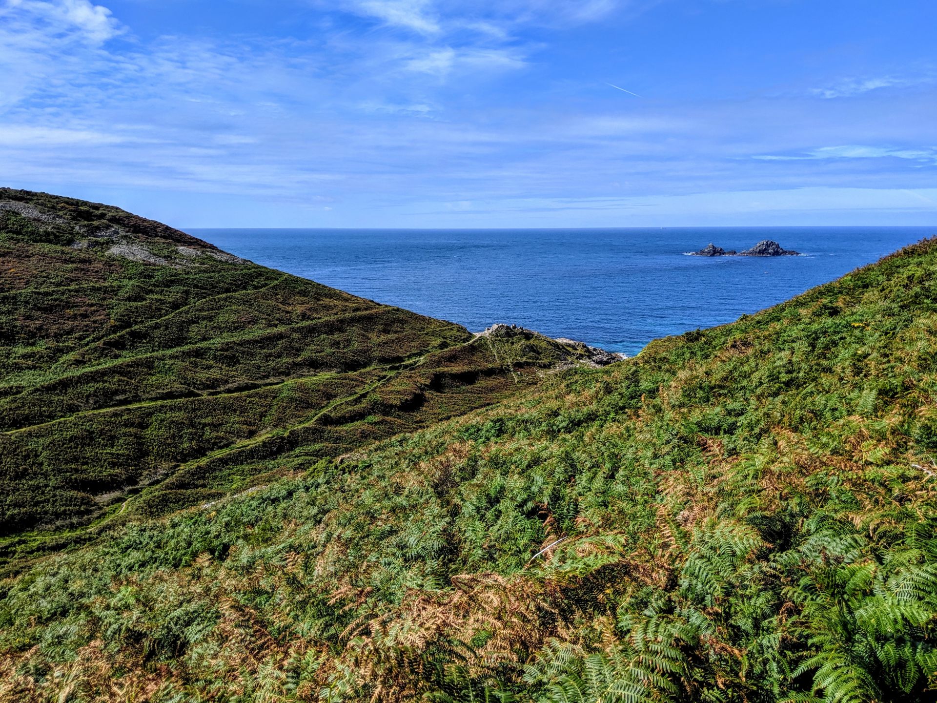
• Views out to The Brisons: two small rocky islets about a mile off Cape Cornwall.
• Ballowall Barrow or Carn Gluze: a Bronze Age burial chamber with two concentric inner walls. It faces west towards the setting sun.
• Porth Nanven: a rocky beach of geological and scientific interest due to the wave-cut platforms in the cliff and extraordinary large, round stones. It is sometimes called the ‘dinosaur egg’ beach and is now legally protected by the National Trust.
• Aire Point: a great place for a picnic overlooking Whitesand Bay.
• Gwenver Beach: a wide, windswept sandy beach popular with surfers. Gwenver’s name is apparently derived from Gwynevere of Authurian legend. On a clear day you have fantastic views from the beach out to the Longships lighthouse, the Scilly Isles and the nearby Brisons Rocks off the coast of Cape Cornwall.
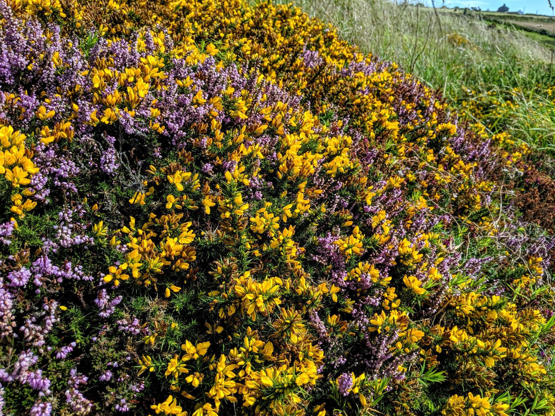
• Spotting the many birds who inhabit these cliffs and offshore rocks, such as peregrine falcons, shags, herring gulls and rock pipits.
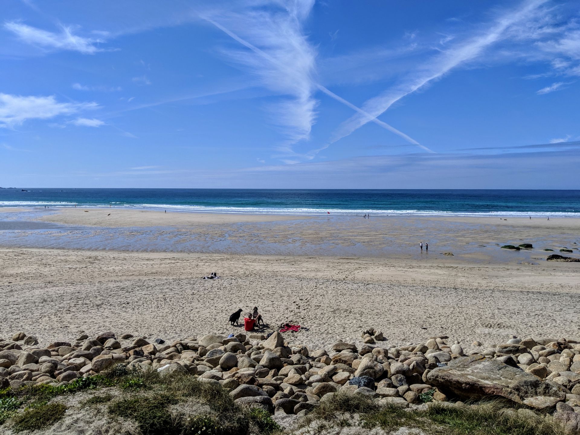
Sennen Cove boasts one of the loveliest stretches of sand in Cornwall, Whitesands Beach, and still retains much of the atmosphere of an old fishing village. It is a popular spot with surfers and hosts the local surfing club.
The Old Success Inn is a 17th century building with views across the bay. The cove was once frequented by many mermaids, in addition to the Sennen Whooper. Perhaps these mermaids were really dolphins, which can still be seen frolicking in the water close to the coast. A nearby rock is known as the Irish Lady and is the memorial to the sole survivor of a long ago wreck. Unfortunately she fell into the sea before she could be rescued, but her ghost can sometimes be seen still clinging to the rock.
There is still a lifeboat station at Sennen and close by there are lobster pots testifying to the continuation of the local fishing industry. The Round House and Capstan gallery is a 19th century building with a converted net loft and can be found just beyond the lifeboat station. Sennen Cove is very close to Land’s End and is well placed for walks along the coastal path. There are numerous ancient sites in the area in addition to relics from the once thriving tin mining industry.
To the east, at the top of the Penberth Valley, lies Penrose, once the seat of the family of that name. In the 17th century a recently widowed smuggler, Ralph Penrose, took his young motherless son with him to see, leaving his brother to manage his estate. There was a storm and his ship was wrecked just off the coast. His brother, John, watched the ship go down without trying to help. When the young boy managed to struggle to shore, he was murdered by his uncle’s men. Ralph’s cousin, William, survived the wreck but lost his memory until he returned to Penrose by chance. There he discovered the grave of his cousin’s young son and traced the murderer, who confessed and hanged himself. Unfortunately, William was unable to remain at Penrose because it was infested with ghosts.
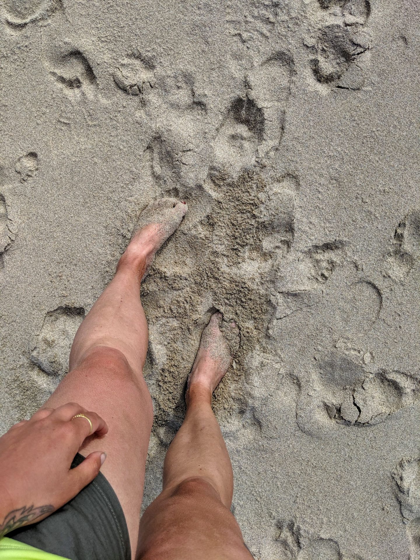
Really glad this was a shot walk in total I did about 11 miles, by the end of which I had caught the sun and in fact 4 weeks later I still have very strong tan lines.
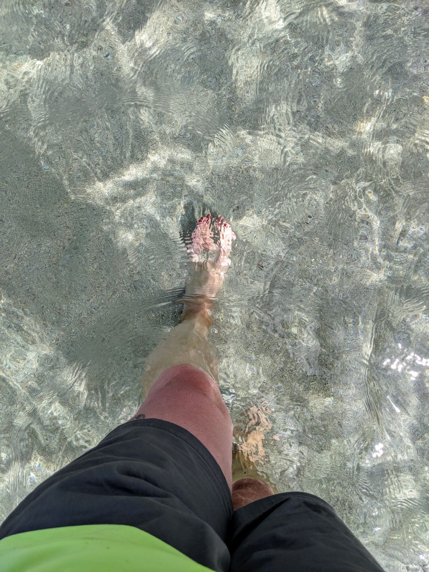
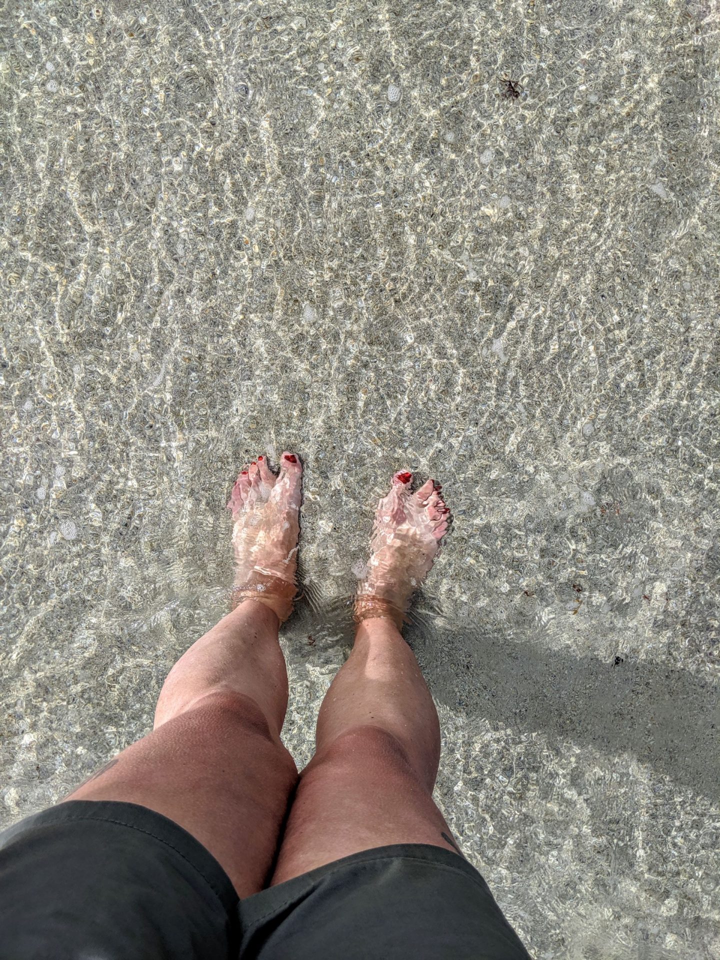
Of course I had to go in the sea, it would have been rude not to! Plus I really need to cool my burnt skin a little.
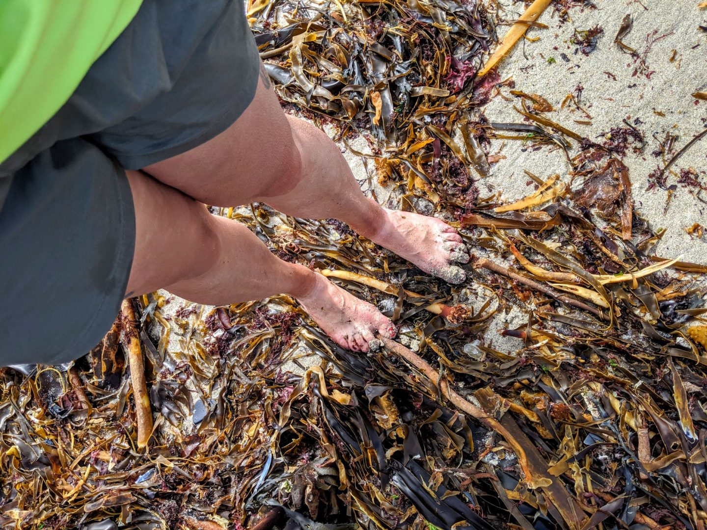
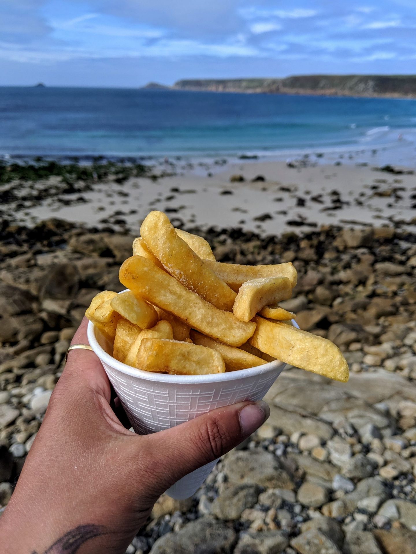
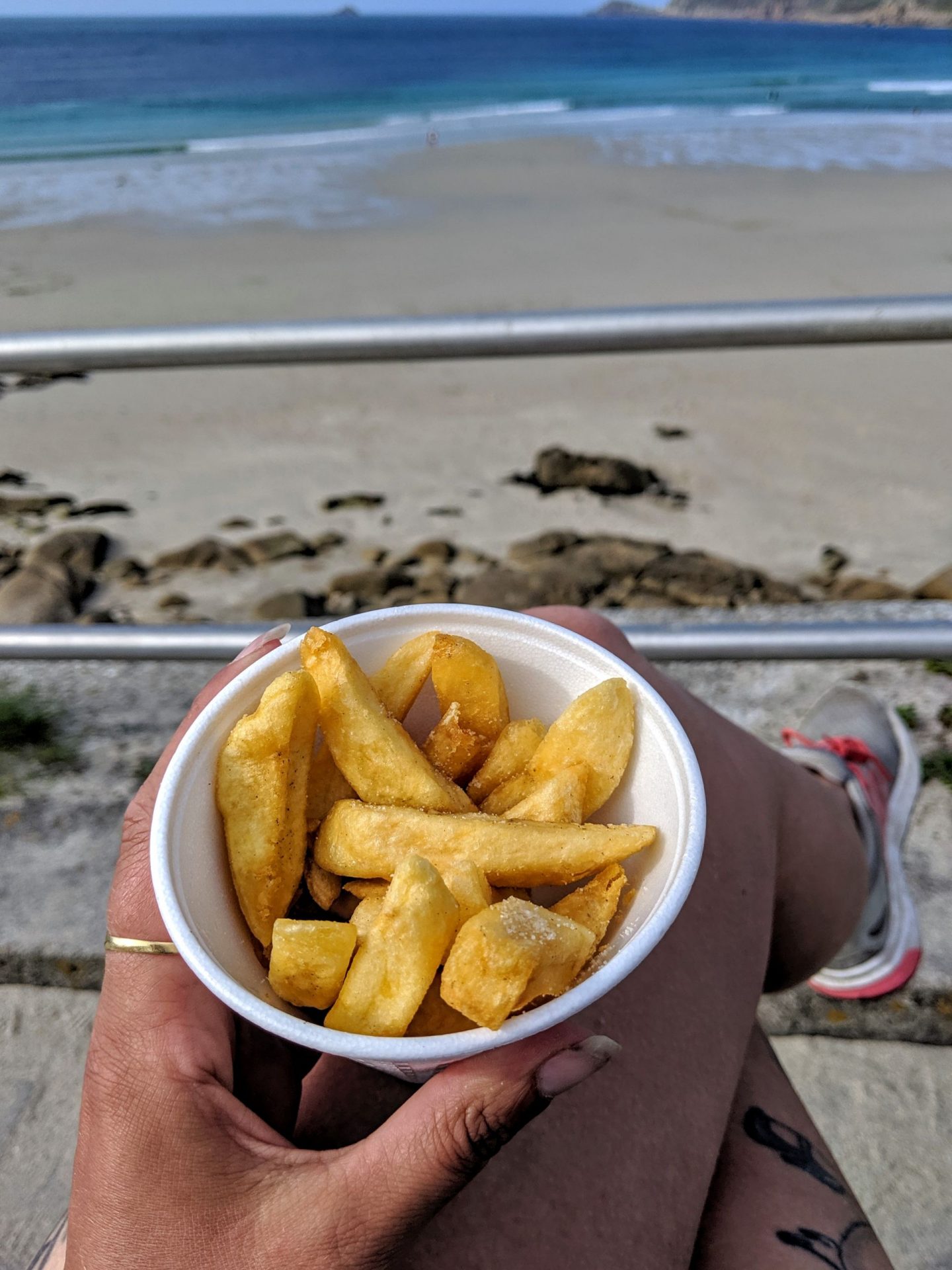
Its hard to believe I was once scared of seaweed! I ended the day with chips before brushing the sand off, getting changed on the car park and ending to the theatre! This had to be the busiest holiday I have ever been on!